Elevation of Pouncey Farm Rd, Daleville, AL, USA
Location: United States > Alabama > Dale County > Clayhatchee >
Longitude: -85.722528
Latitude: 31.23604
Elevation: 59m / 194feet
Barometric Pressure: 101KPa
Elevation Map:
Satellite Map:
Related Photos:

IMG_4936.JPG

IMG_4935.JPG
Storage Building 6008 - Fort Rucker

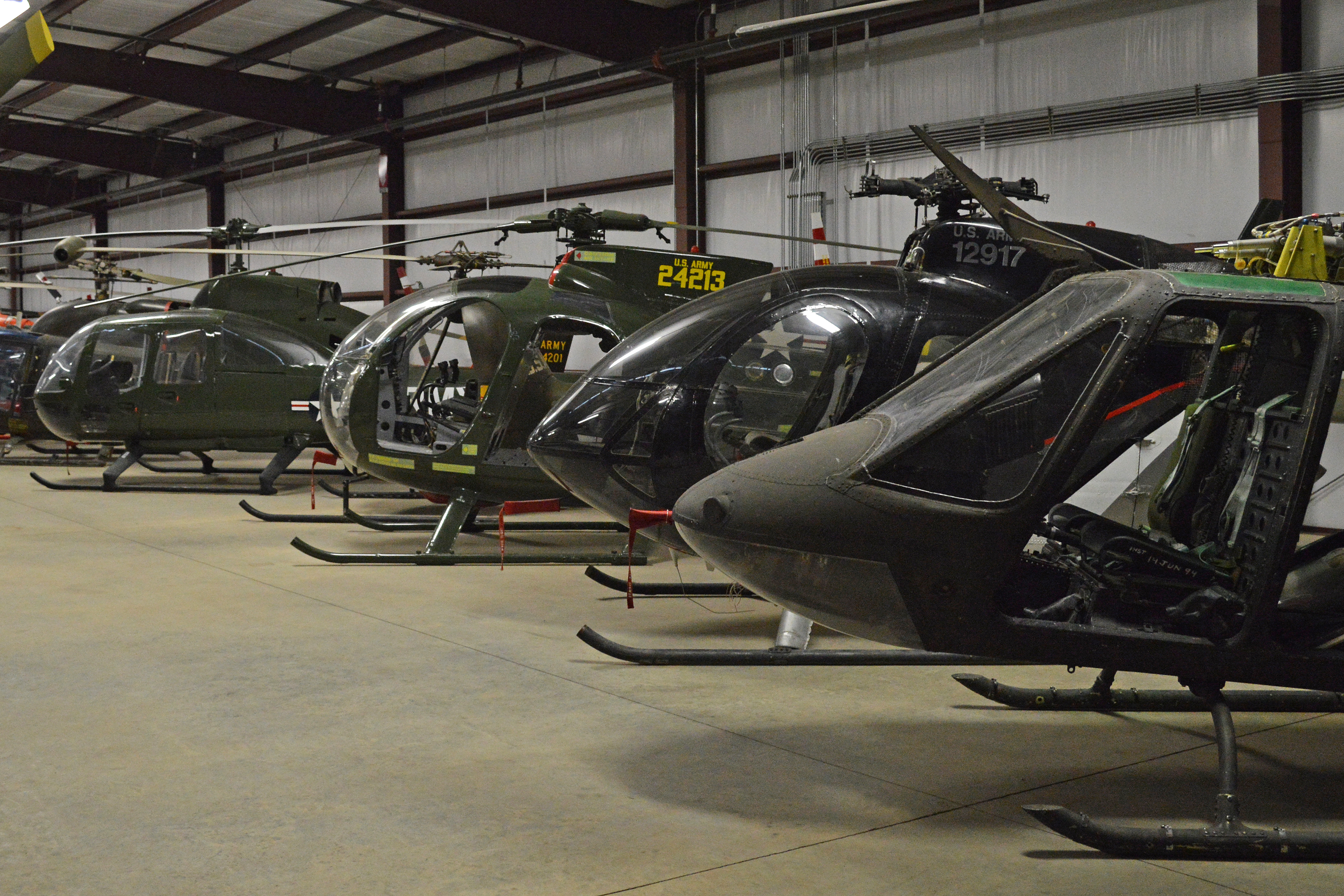
Five Hueys - Fort Rucker

UH-1 Huey line-up - Fort Rucker
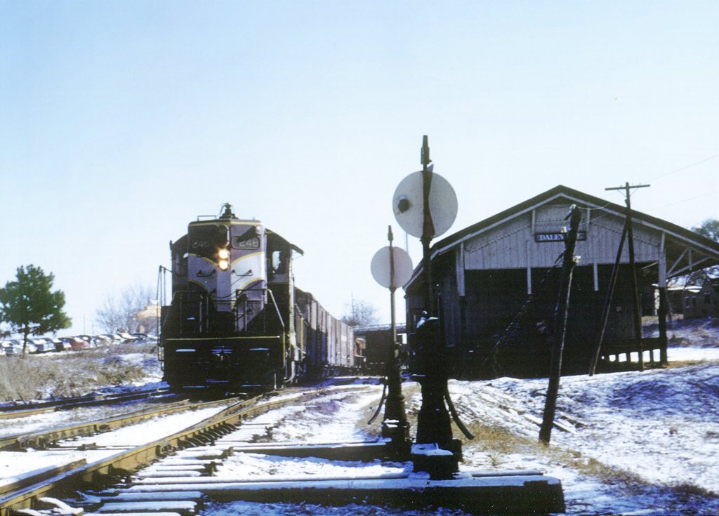
ACL 248
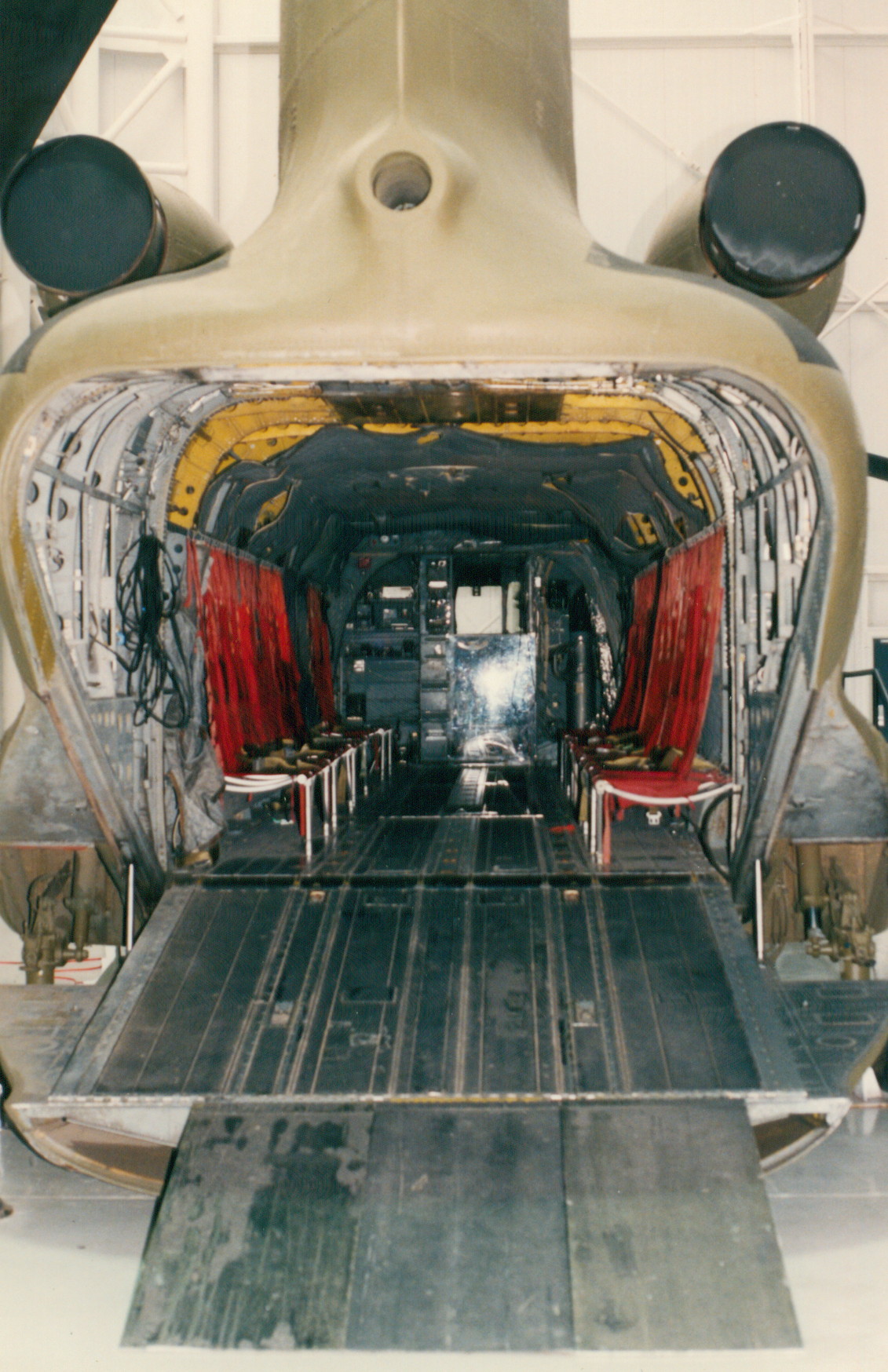
CH-47A
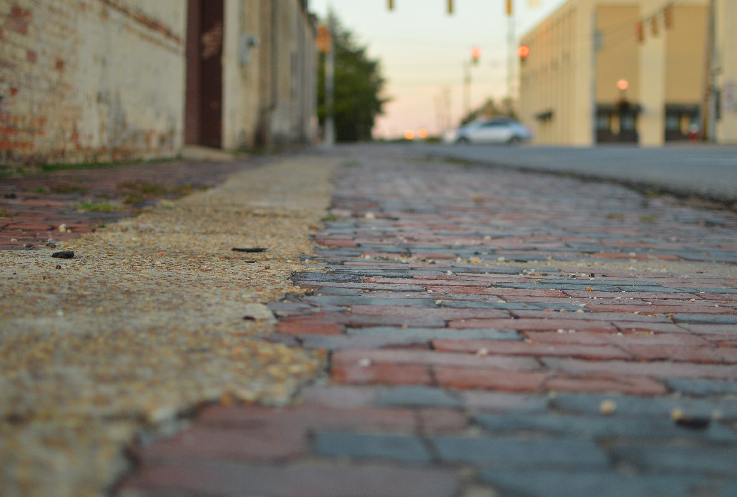
Streetside view
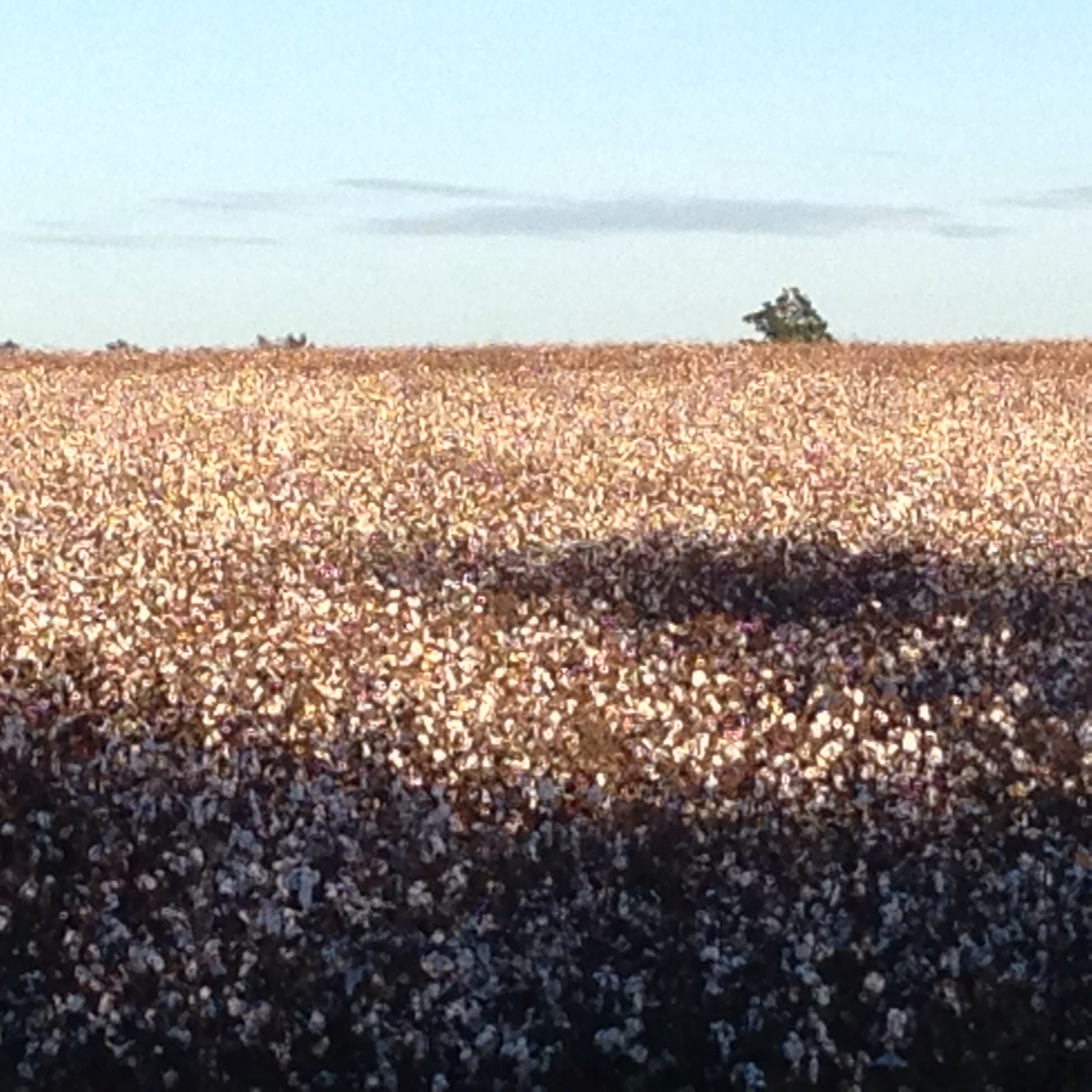
Cotton field back home

Instax Wide 05.06.2016

Instax Wide 05.06.2016

Instax Wide 05.06.2016

Instax Wide 05.06.2016

65-7992

94-0327
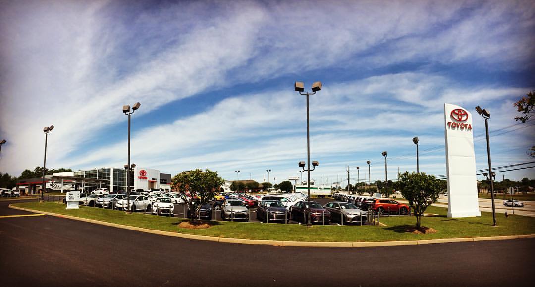
The clouds were amazing this morning. @bondystoyota

OH-58 Scout
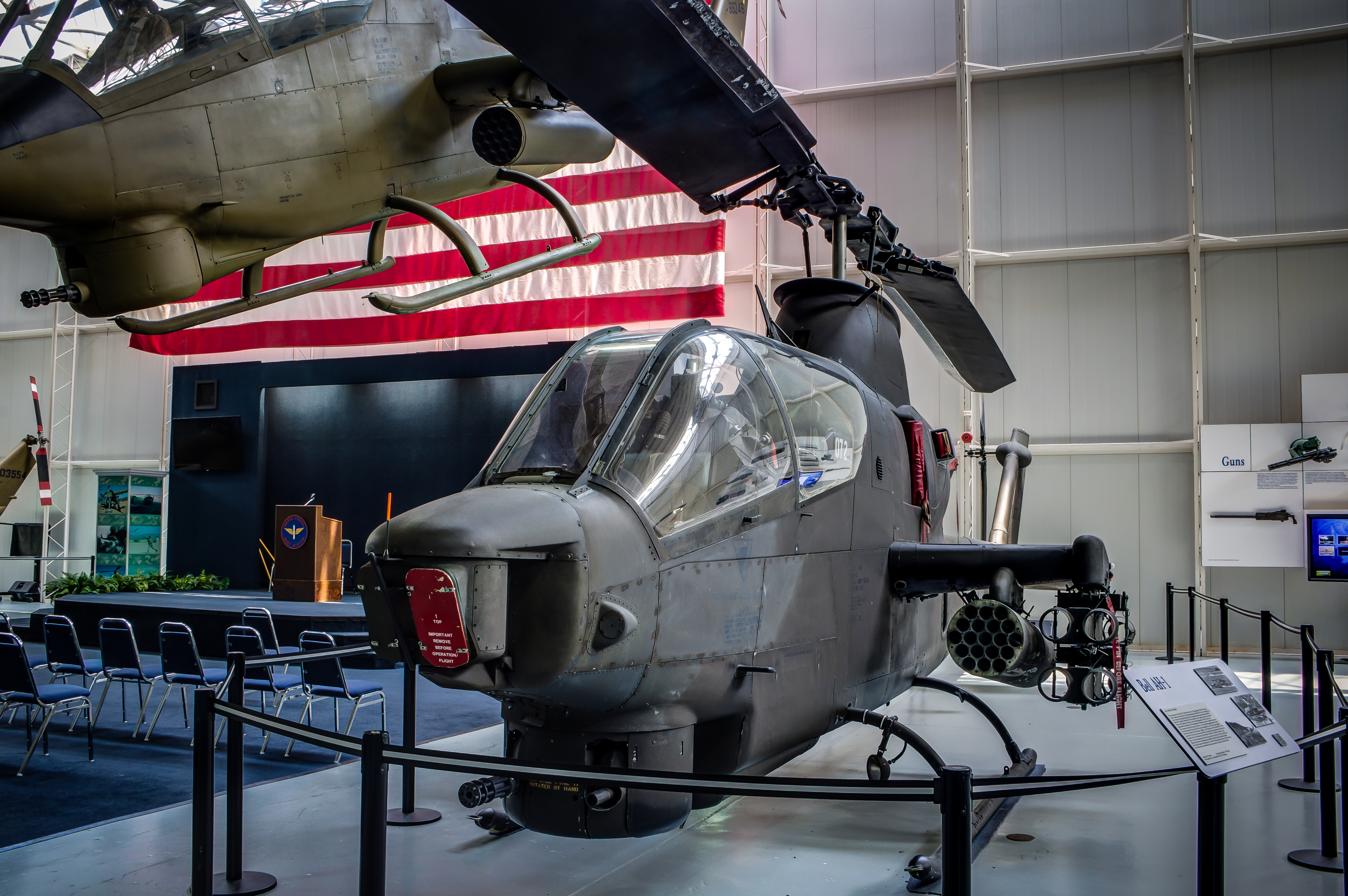
AH-1
Flying Snake

Instax NEO 90 03.27.2015
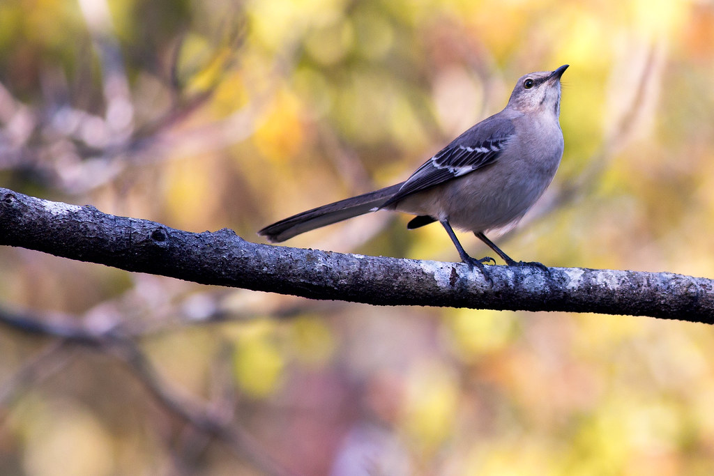
Autumn Mockingbird

Church Pictures will 2015. 12.27.2015

Church Pictures will 2015. 12.27.2015

Church Pictures will 2015. 12.27.2015

Church Pictures will 2015. 12.27.2015

Church Pictures will 2015. 12.27.2015

Church Pictures will 2015. 12.27.2015

de Havilland (Canada) YC-7A Caribou 57-3080

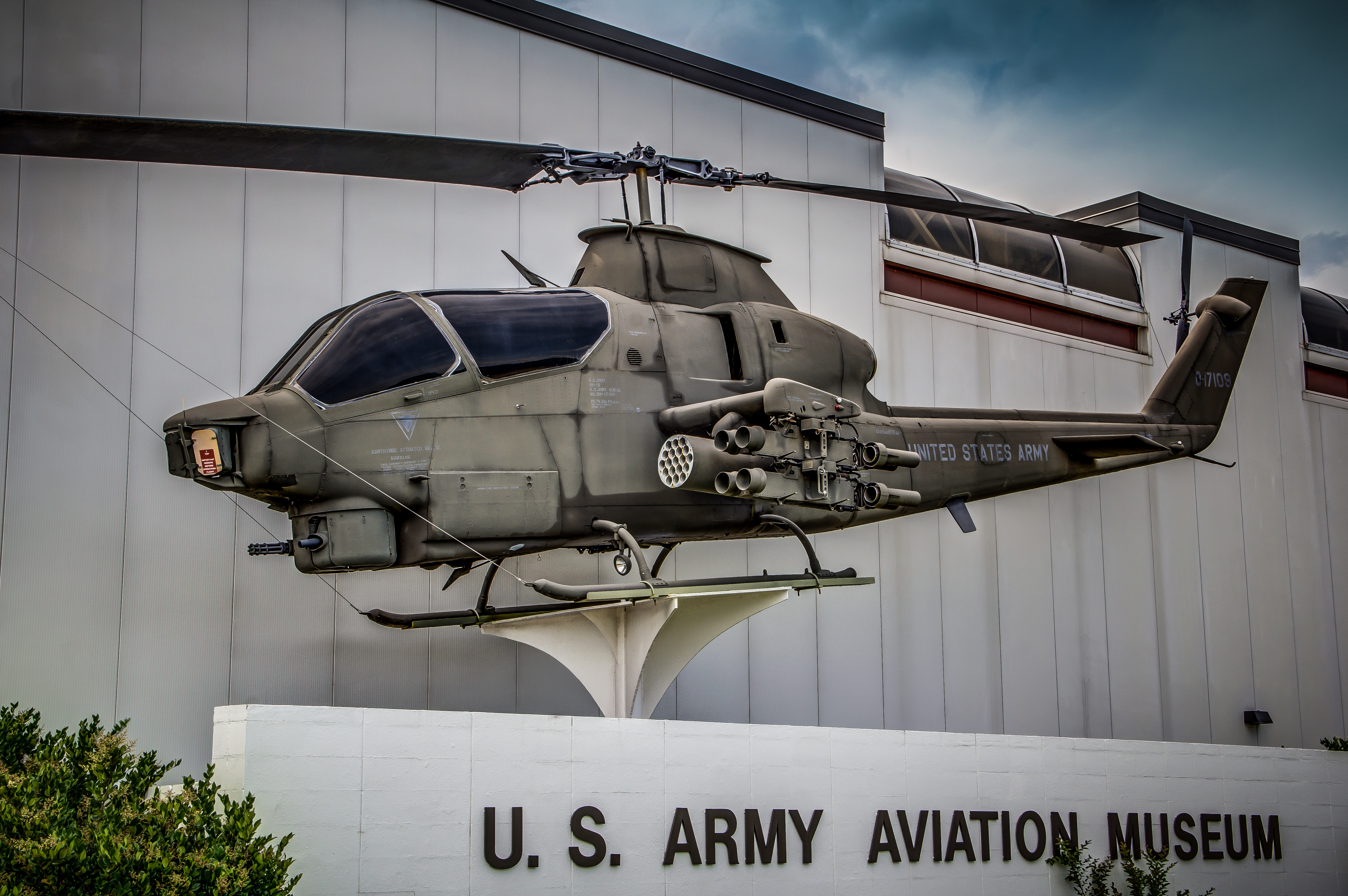
Bell AH-1G Cobra 75-15090

Lockheed AH-56A Cheyenne 66-08832
Topographic Map of Pouncey Farm Rd, Daleville, AL, USA
Find elevation by address:

Places near Pouncey Farm Rd, Daleville, AL, USA:
Clayhatchee
15987 Us-84
Co Rd 41, Hartford, AL, USA
33 AL-, Newton, AL, USA
Judge Logue Rd, Newton, AL, USA
Bald Hill Rd, Slocomb, AL, USA
Main St, Hartford, AL, USA
Tim Helms Rd, Slocomb, AL, USA
201 Summer Rd
312 Old Fadette Hwy
103 Oakhill Rd
N Main St, Slocomb, AL, USA
Malvern
Mount Gilead Church Road
64 N Brannon Stand Rd, Dothan, AL, USA
3052 Trawick Rd
Imperial Dr, Dothan, AL, USA
Sunnybrook Ct, Dothan, AL, USA
105 Mill Pond Dr
Arvie Dr, Taylor, AL, USA
Recent Searches:
- Elevation of Calais Dr, Del Mar, CA, USA
- Elevation of Placer Mine Ln, West Jordan, UT, USA
- Elevation of E 63rd St, New York, NY, USA
- Elevation of Elk City, OK, USA
- Elevation of Erika Dr, Windsor, CA, USA
- Elevation of Village Ln, Finleyville, PA, USA
- Elevation of 24 Oakland Rd #, Scotland, ON N0E 1R0, Canada
- Elevation of Deep Gap Farm Rd E, Mill Spring, NC, USA
- Elevation of Dog Leg Dr, Minden, NV, USA
- Elevation of Dog Leg Dr, Minden, NV, USA