Elevation of Port Lions, AK, USA
Location: United States > Alaska > Kodiak Island >
Longitude: -152.8822222
Latitude: 57.8675
Elevation: 31m / 102feet
Barometric Pressure: 0KPa
Related Photos:
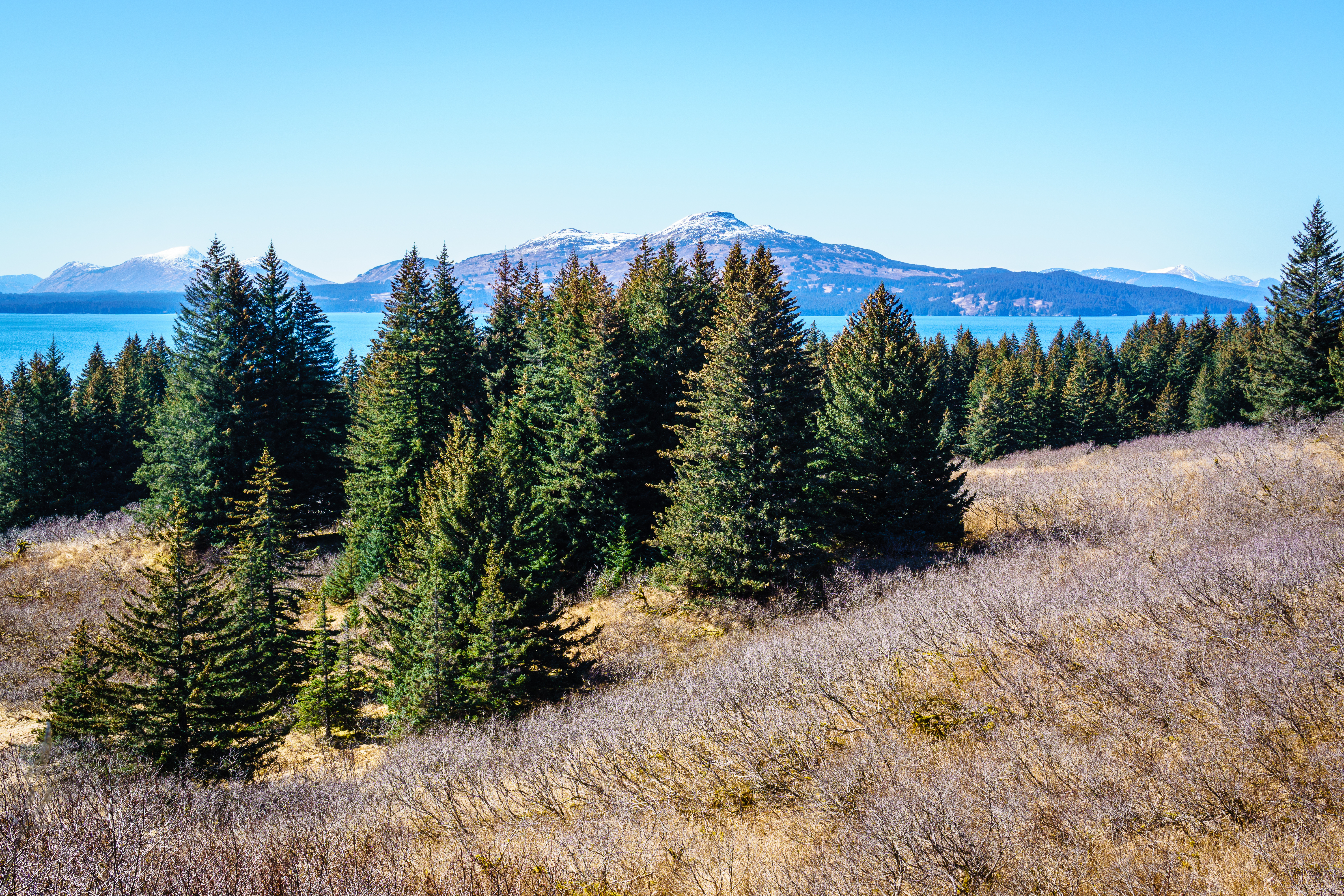
Anton Larsen Trail
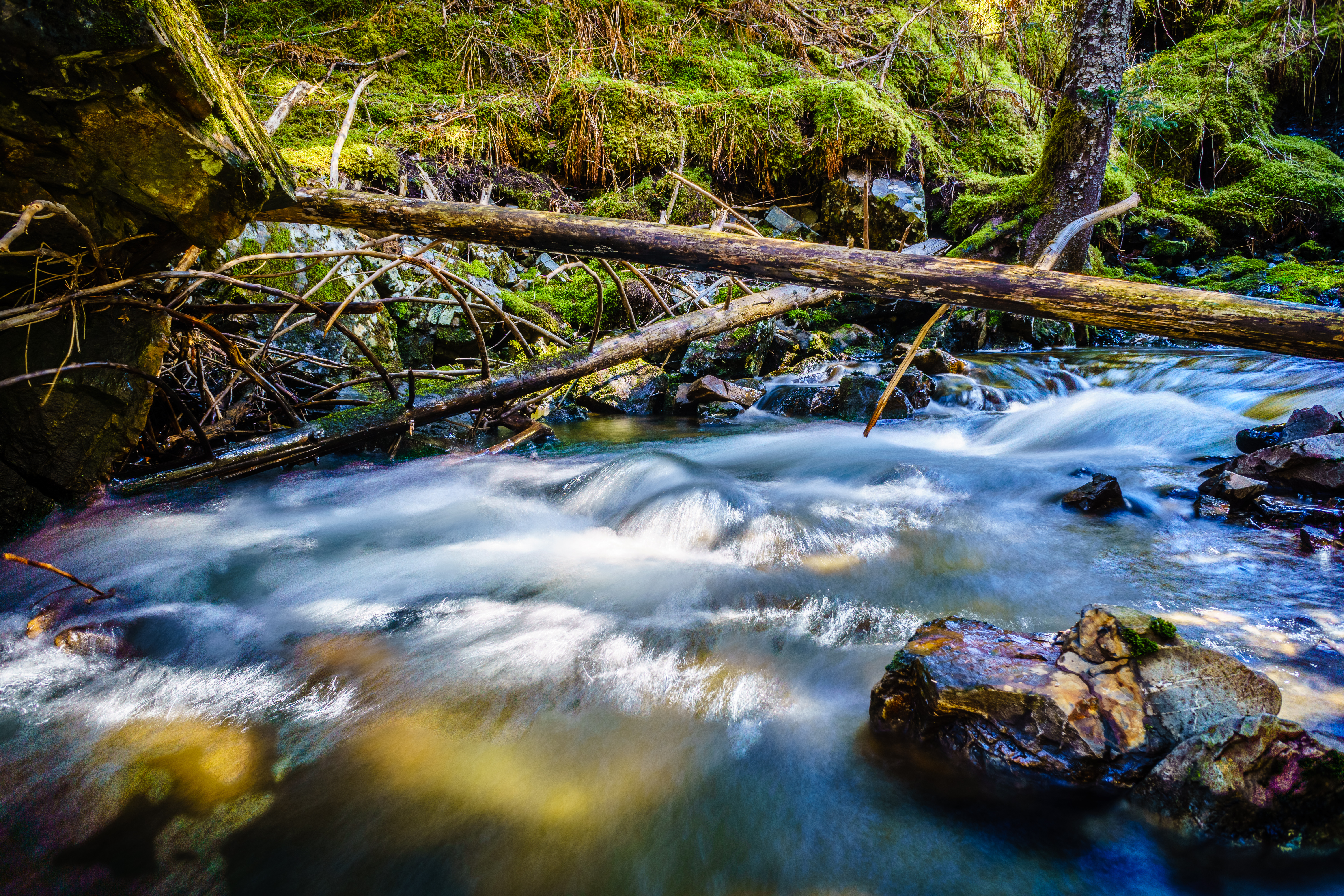
Under the Log
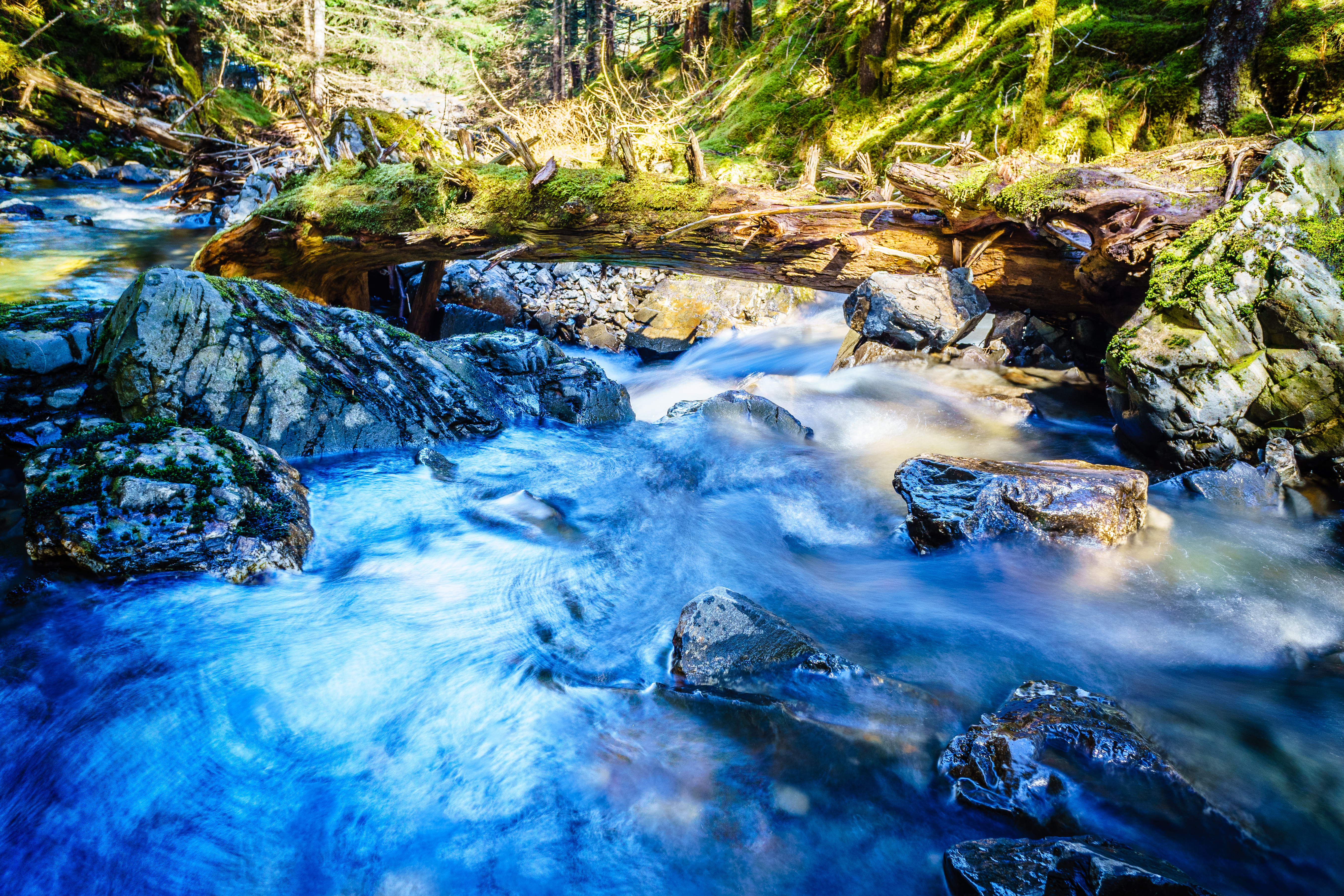
Small Creek
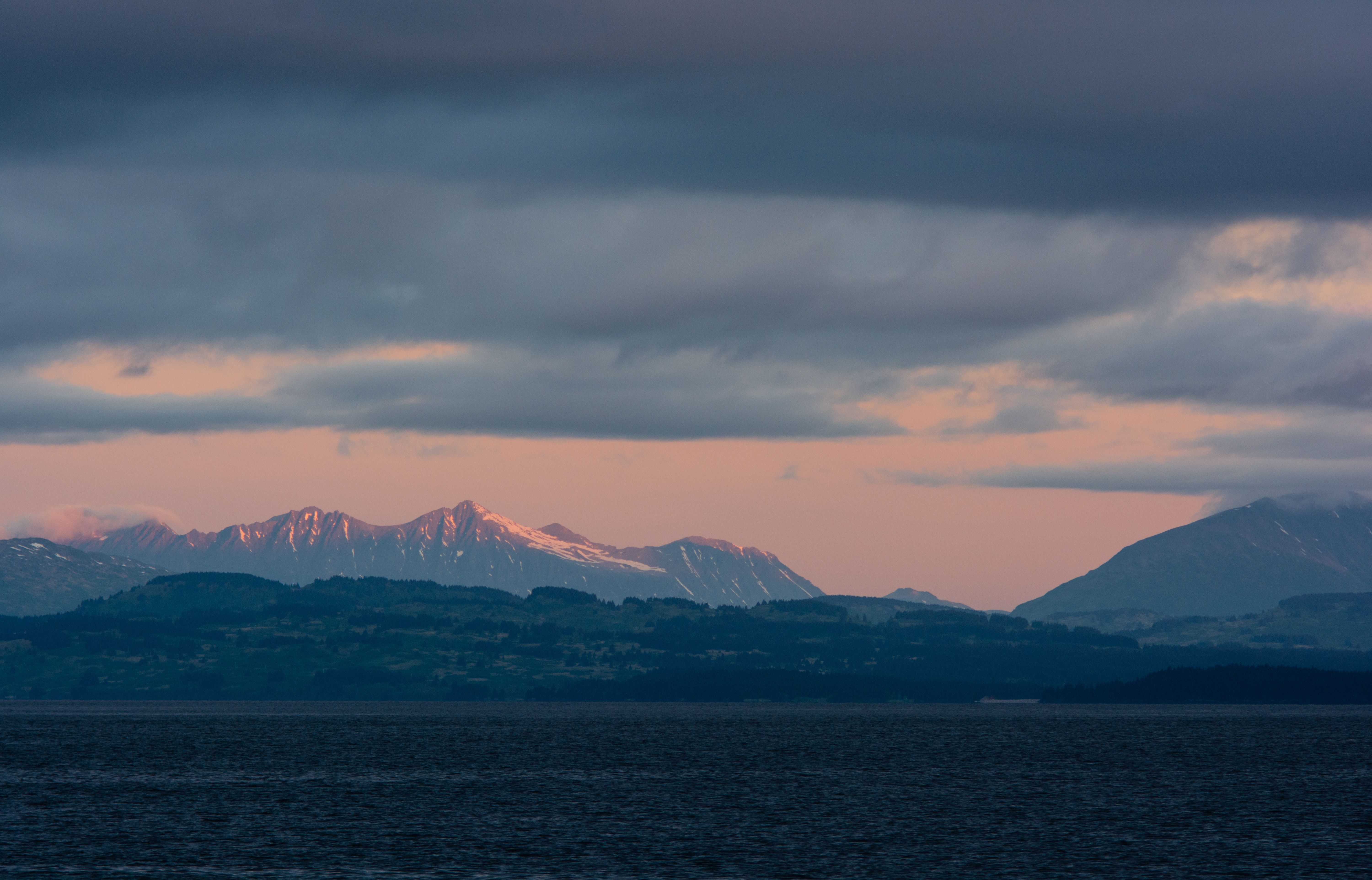
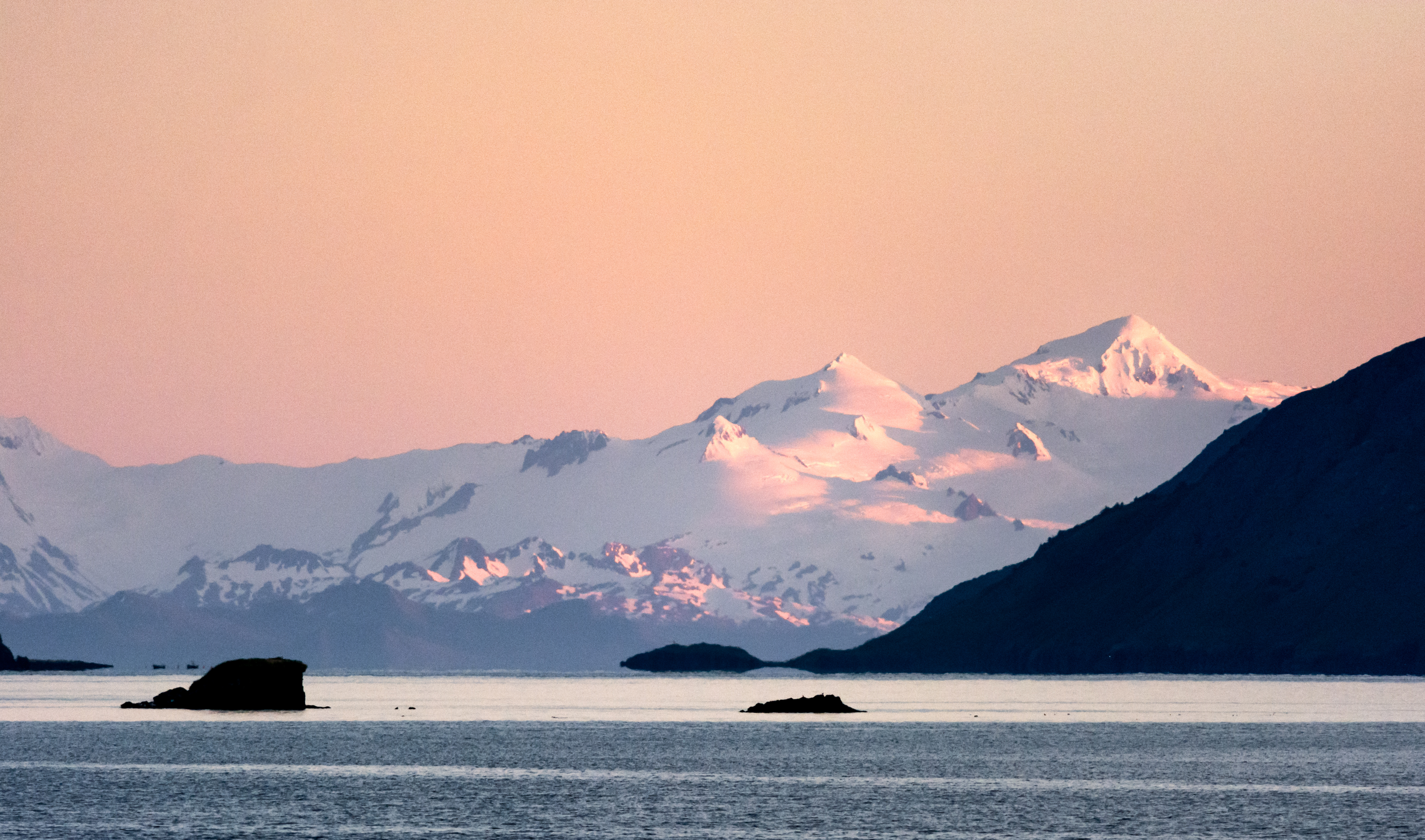
Mountain Highlights

Anton Larsen Bay, Kodiak Island, Alaska
Strait Cloud

IMGP0432.jpg

2015 Cylinder Head (1 of 4).jpg
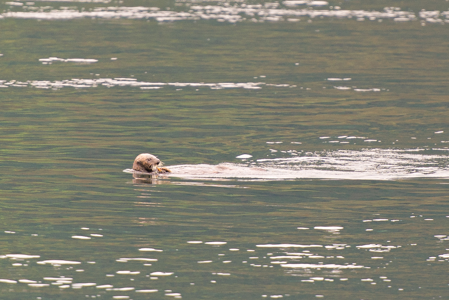
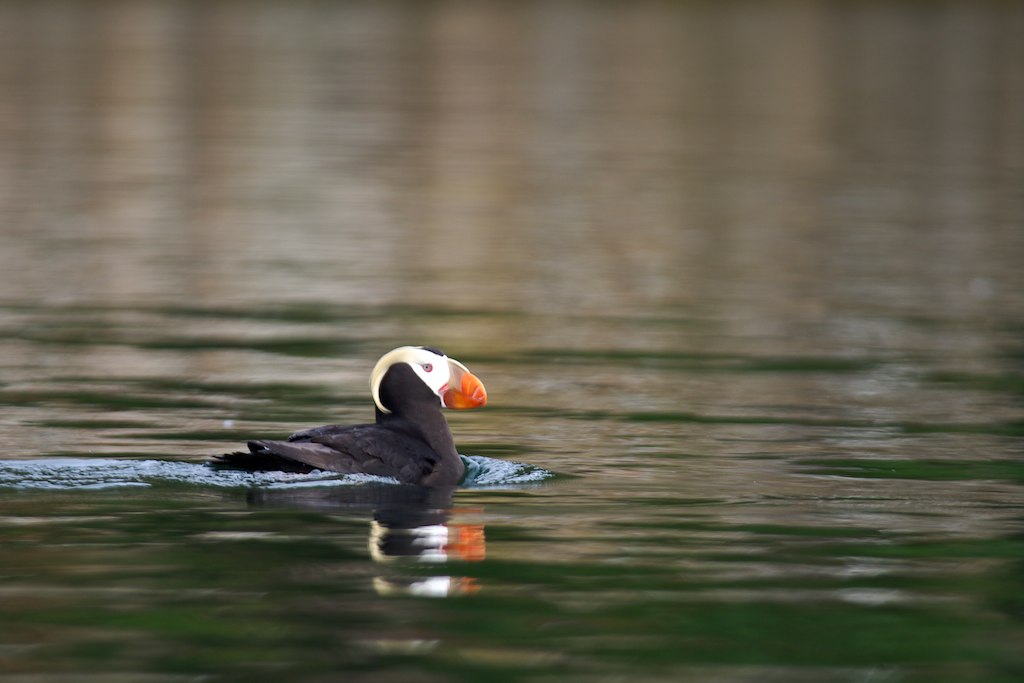
Fuzzy Whiskers
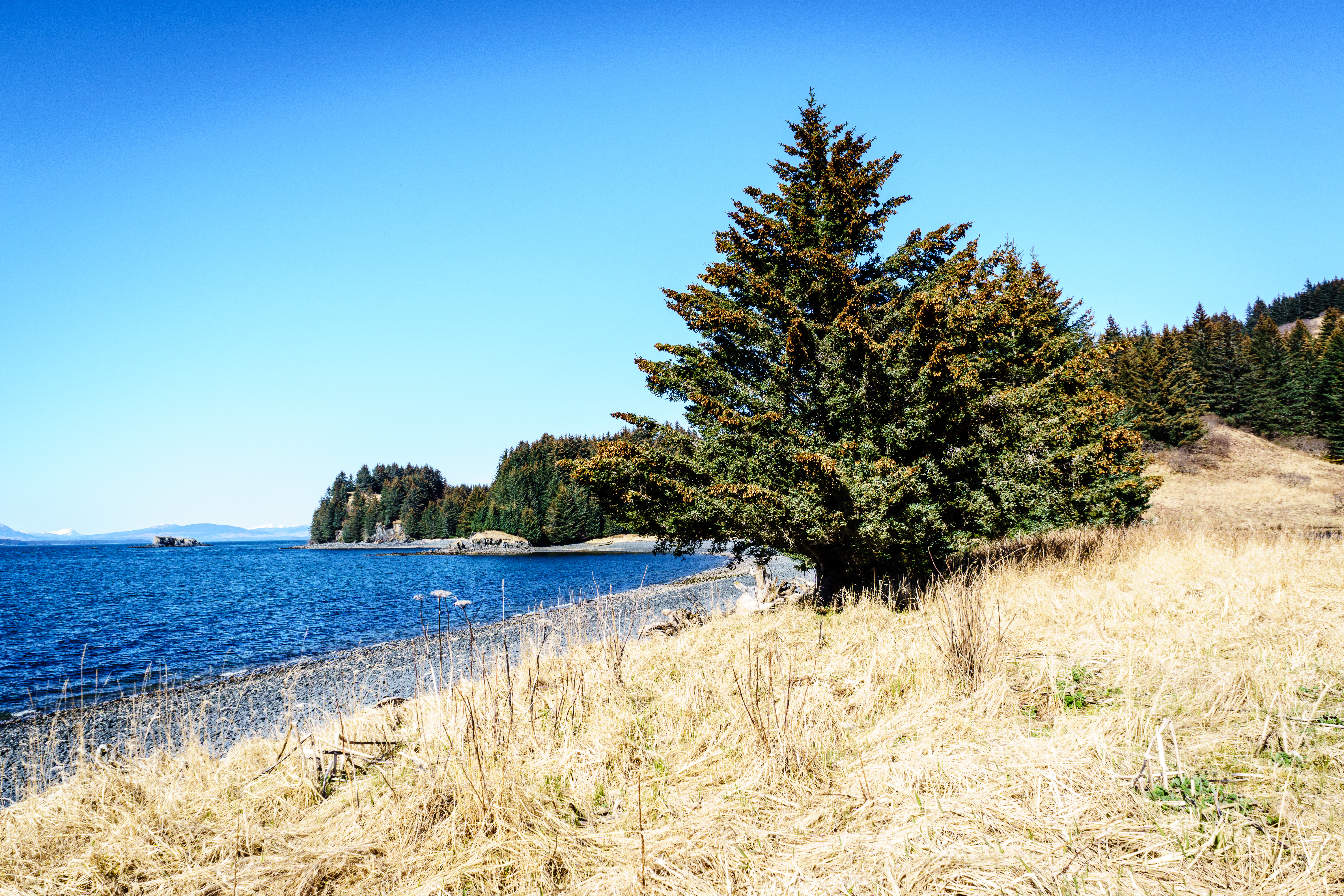
The Beach at the End
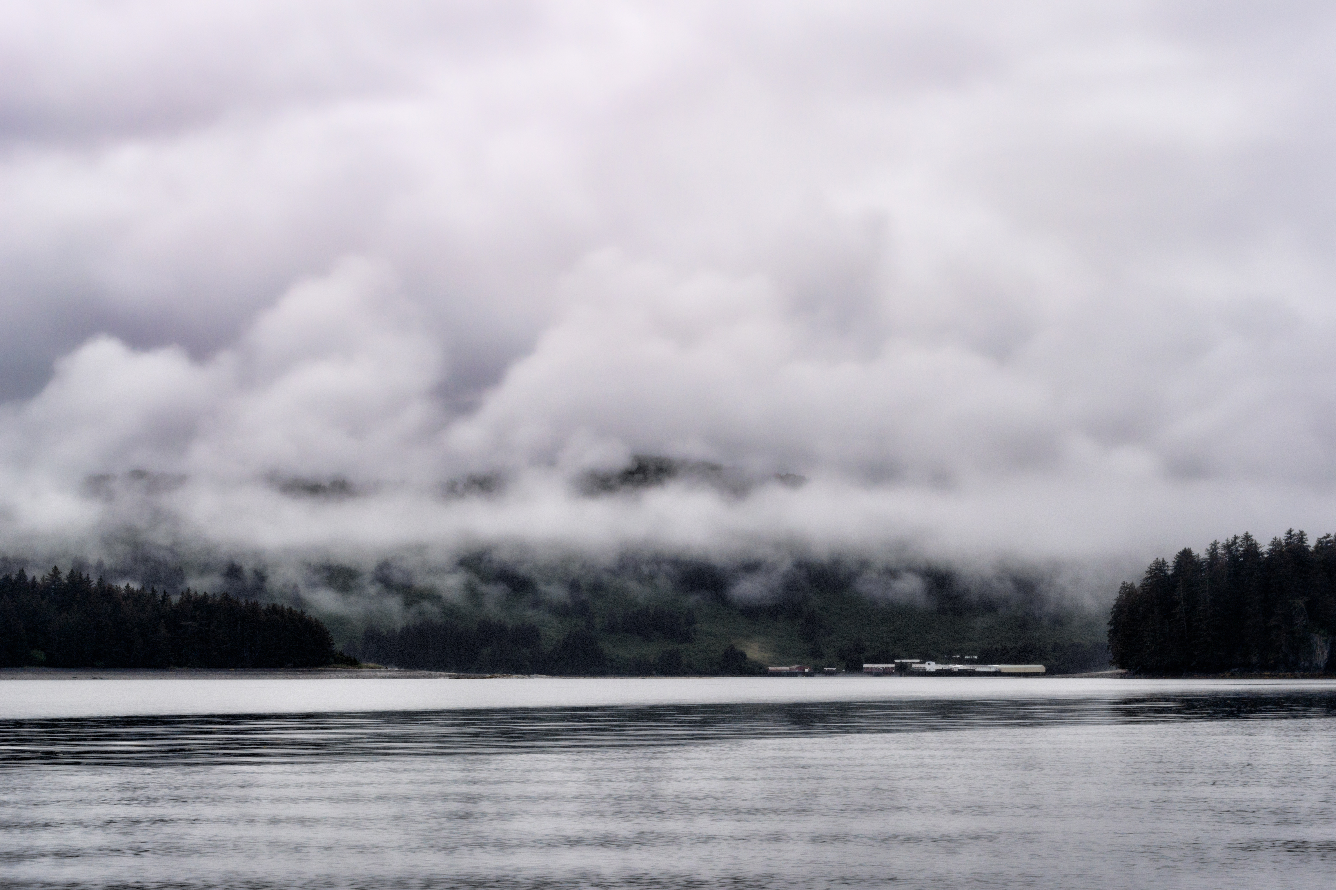
Dreary Cannery
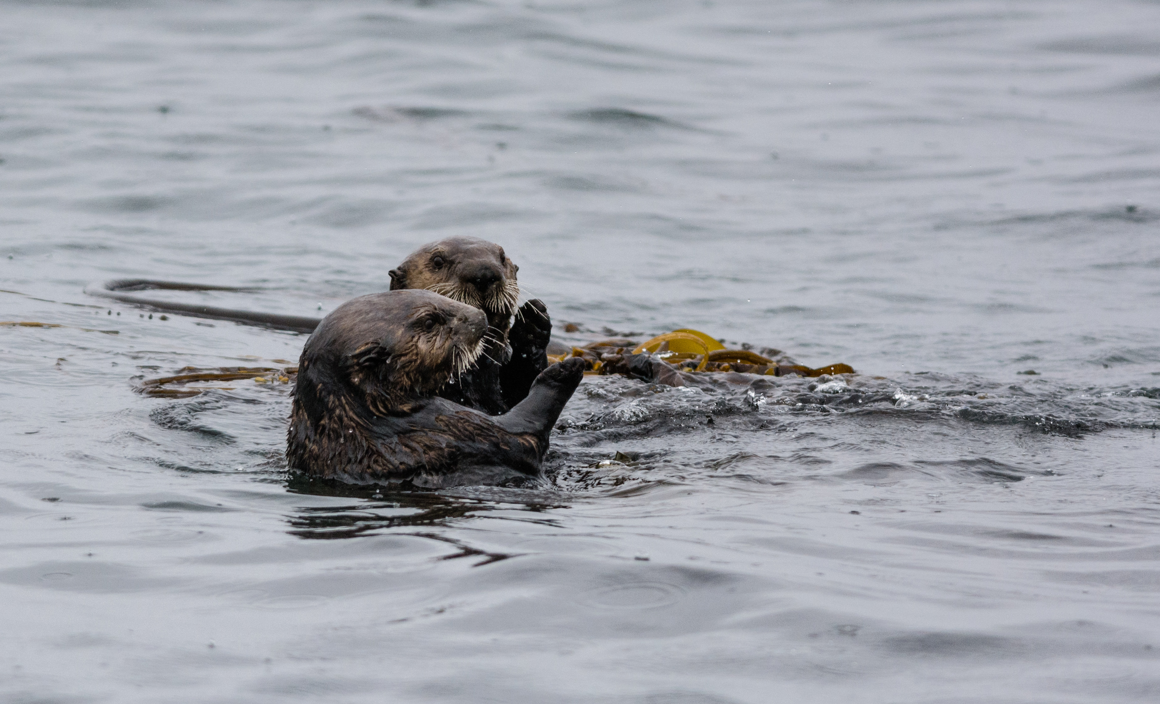
Otter Pals
Sunrise Through the Mouth
Fwd:
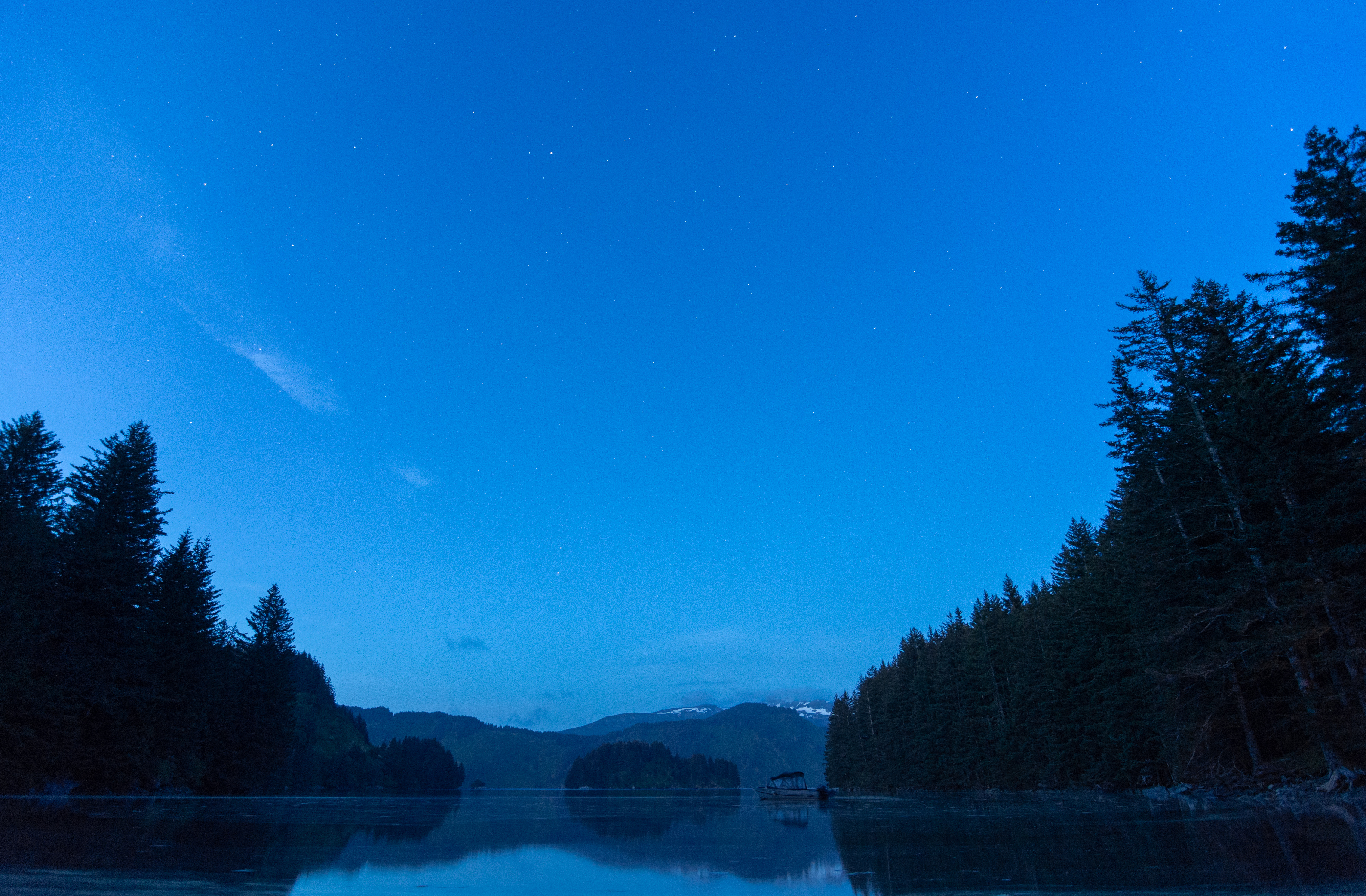
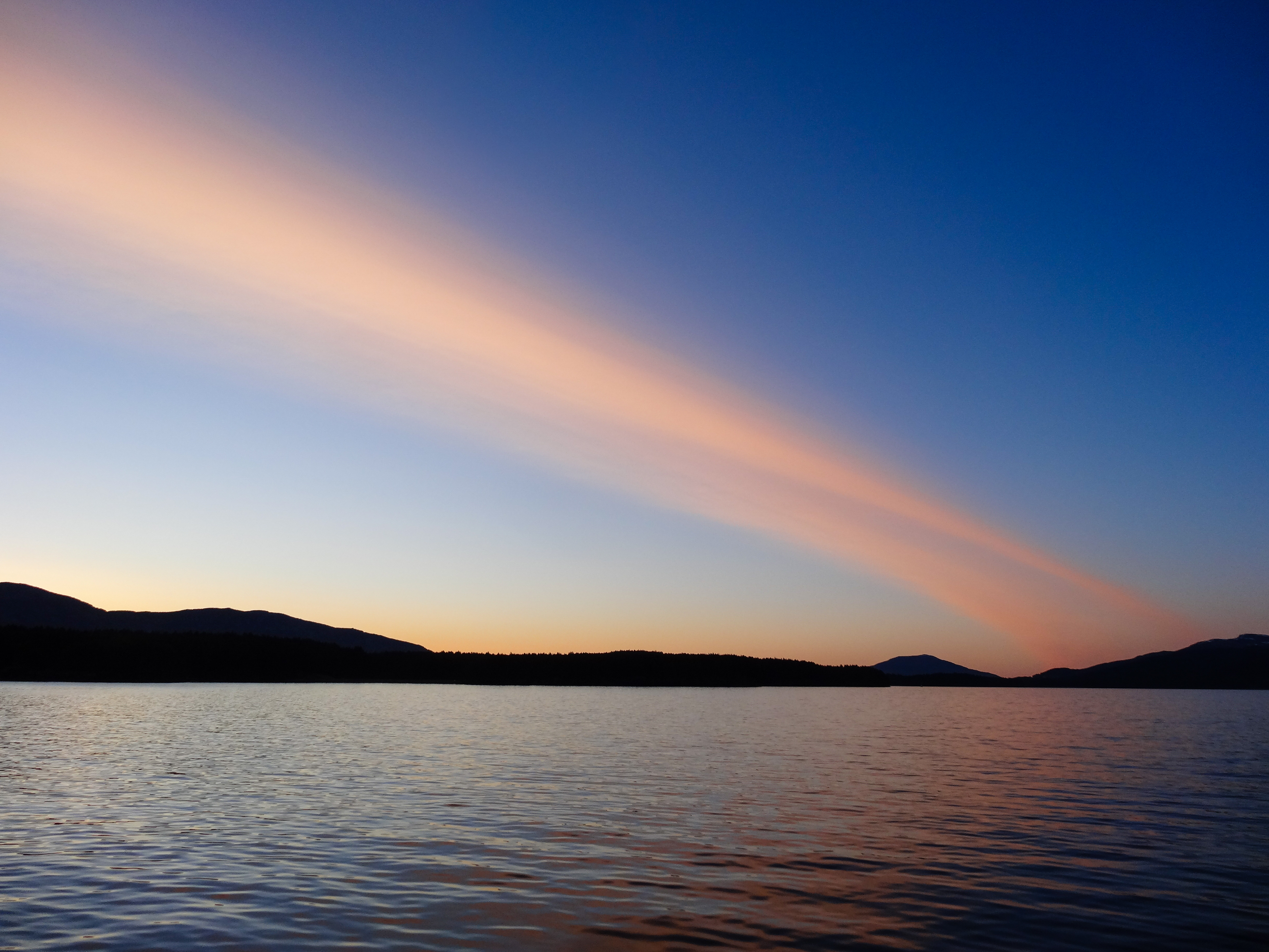
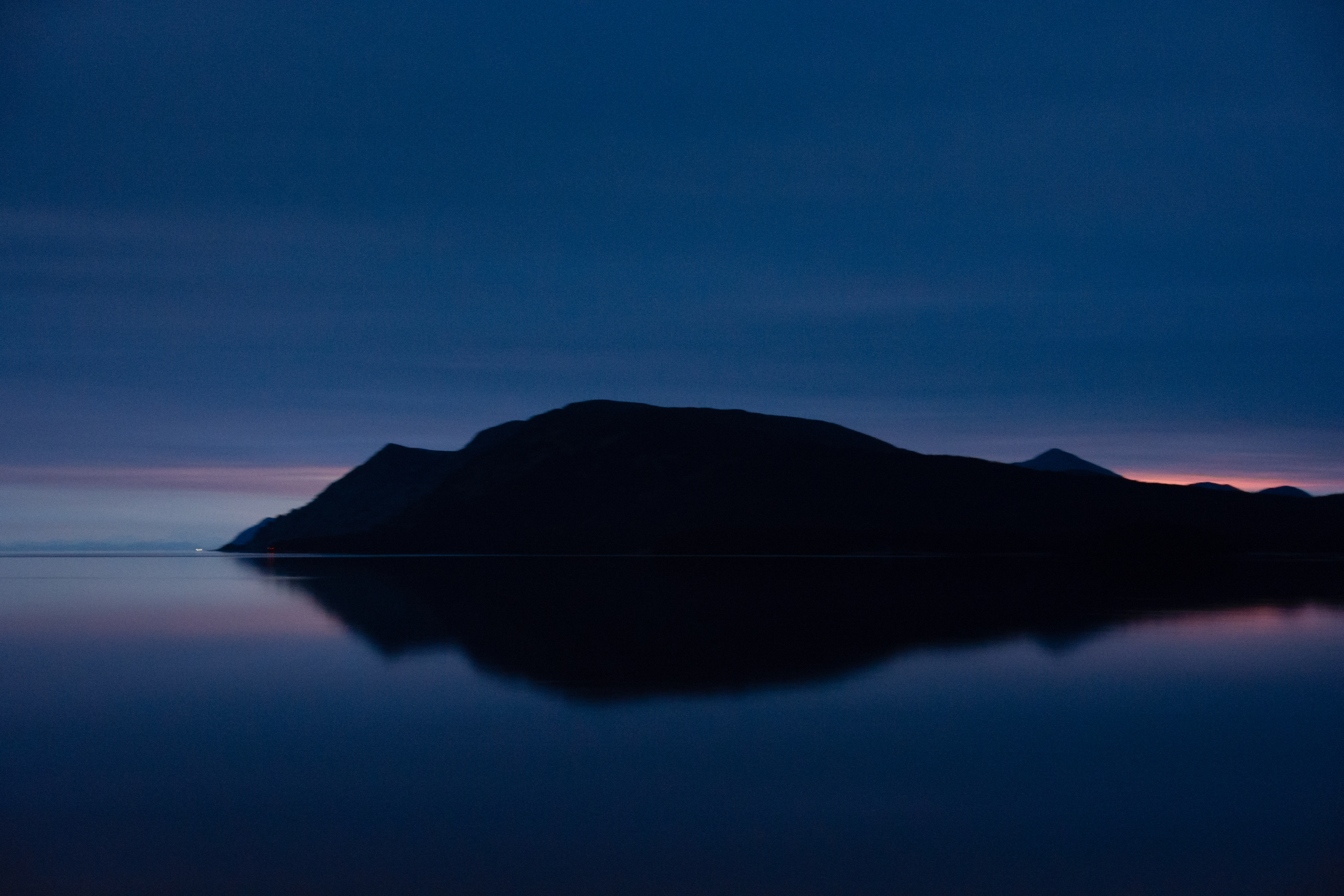
Bright Night
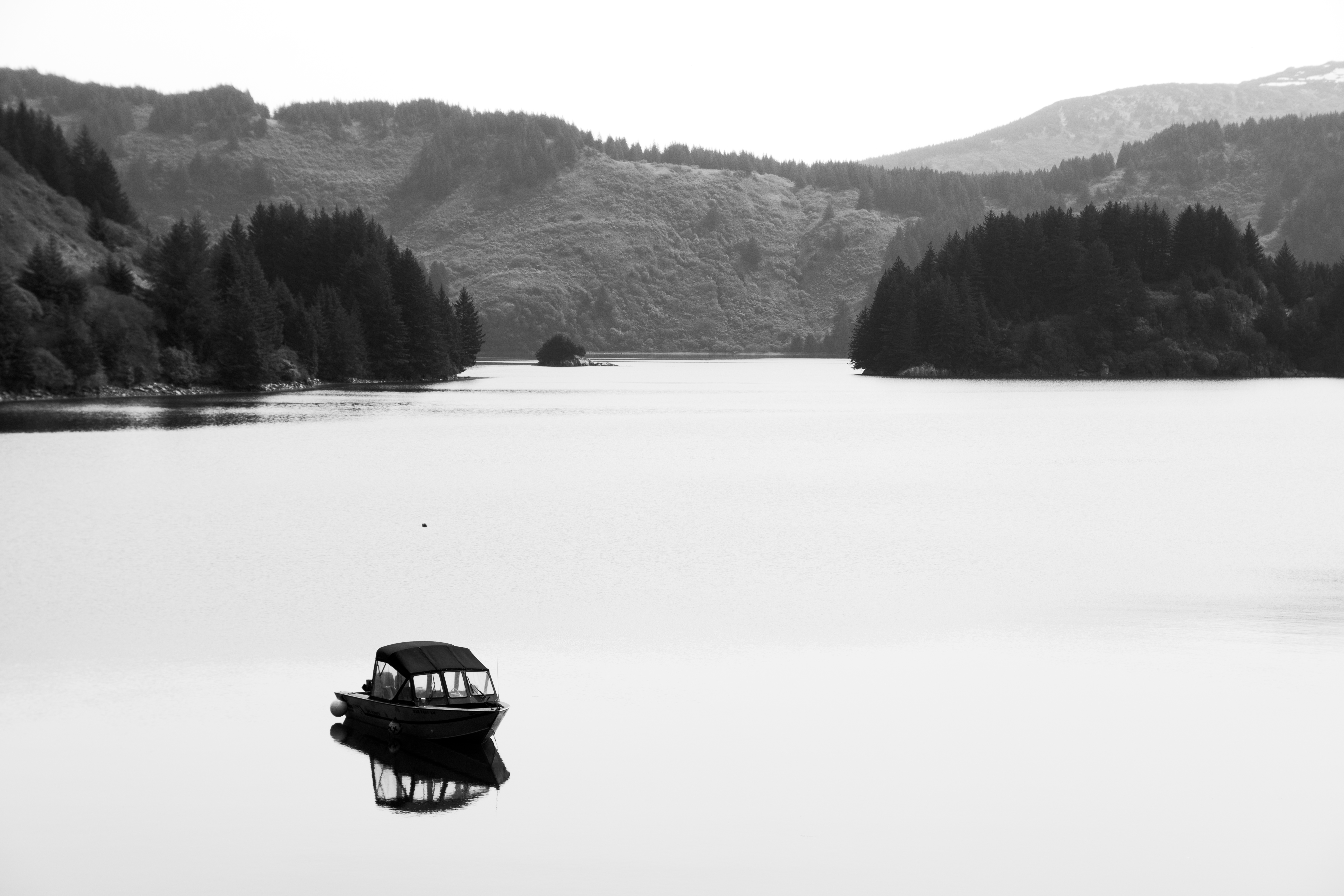
Still Life with Boat
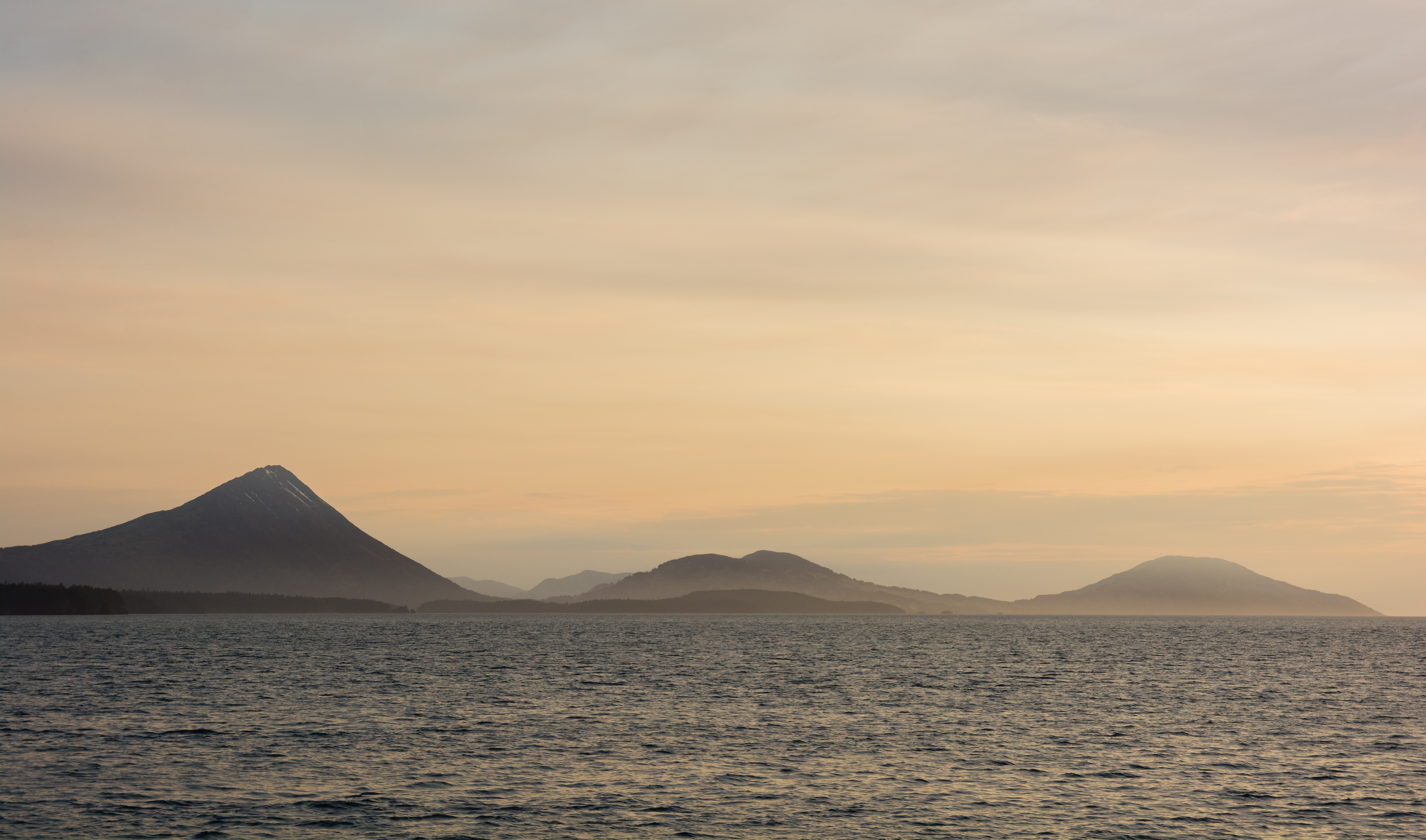
Smokey Kodiak
Midnight Sunset
2008-07 Alaska 0636
2008-07 Alaska 0631
2008-07 Alaska 0621
2008-07 Alaska 0619
Topographic Map of Port Lions, AK, USA
Find elevation by address:

Places in Port Lions, AK, USA:
Places near Port Lions, AK, USA:
Airport Rd, Port Lions, AK, USA
Womens Bay
12792 Middle Bay Dr
12830 S Russian Creek Rd
11248 Kalsin Dr
756 Preston Ln
10981 Lake Orbin Dr
Chiniak Hwy, Kodiak, AK, USA
200 2nd St
Ouzinkie
Polaris Avenue
146 Rezanof Dr W
Kodiak
418 Hillside Dr
410 Thorsheim St
518 Hillside Dr
421 Thorsheim St
110 Mill Bay Rd
212 E Rezanof Dr
711 Thorsheim St
Recent Searches:
- Elevation of Jiezi, Chongzhou City, Sichuan, China
- Elevation of Chongzhou City, Sichuan, China
- Elevation of Huaiyuan, Chongzhou City, Sichuan, China
- Elevation of Qingxia, Chengdu, Sichuan, China
- Elevation of Corso Fratelli Cairoli, 35, Macerata MC, Italy
- Elevation of Tallevast Rd, Sarasota, FL, USA
- Elevation of 4th St E, Sonoma, CA, USA
- Elevation of Black Hollow Rd, Pennsdale, PA, USA
- Elevation of Oakland Ave, Williamsport, PA, USA
- Elevation of Pedrógão Grande, Portugal
- Elevation of Klee Dr, Martinsburg, WV, USA
- Elevation of Via Roma, Pieranica CR, Italy
- Elevation of Tavkvetili Mountain, Georgia
- Elevation of Hartfords Bluff Cir, Mt Pleasant, SC, USA
- Elevation of SW Barberry Dr, Beaverton, OR, USA
- Elevation of Old Ahsahka Grade, Ahsahka, ID, USA
- Elevation of State Hwy F, Pacific, MO, USA
- Elevation of Chemin de Bel air, Chem. de Bel air, Mougins, France
- Elevation of Cloverdale Dr, Bloomingdale, GA, USA
- Elevation of 3FPP+WP4, Alajuela Province, San Ramon, Costa Rica