Elevation of Poplar Road, Poplar Rd, Stafford, VA, USA
Location: United States > Virginia > Stafford County >
Longitude: -77.547803
Latitude: 38.4582224
Elevation: 86m / 282feet
Barometric Pressure: 100KPa
Elevation Map:
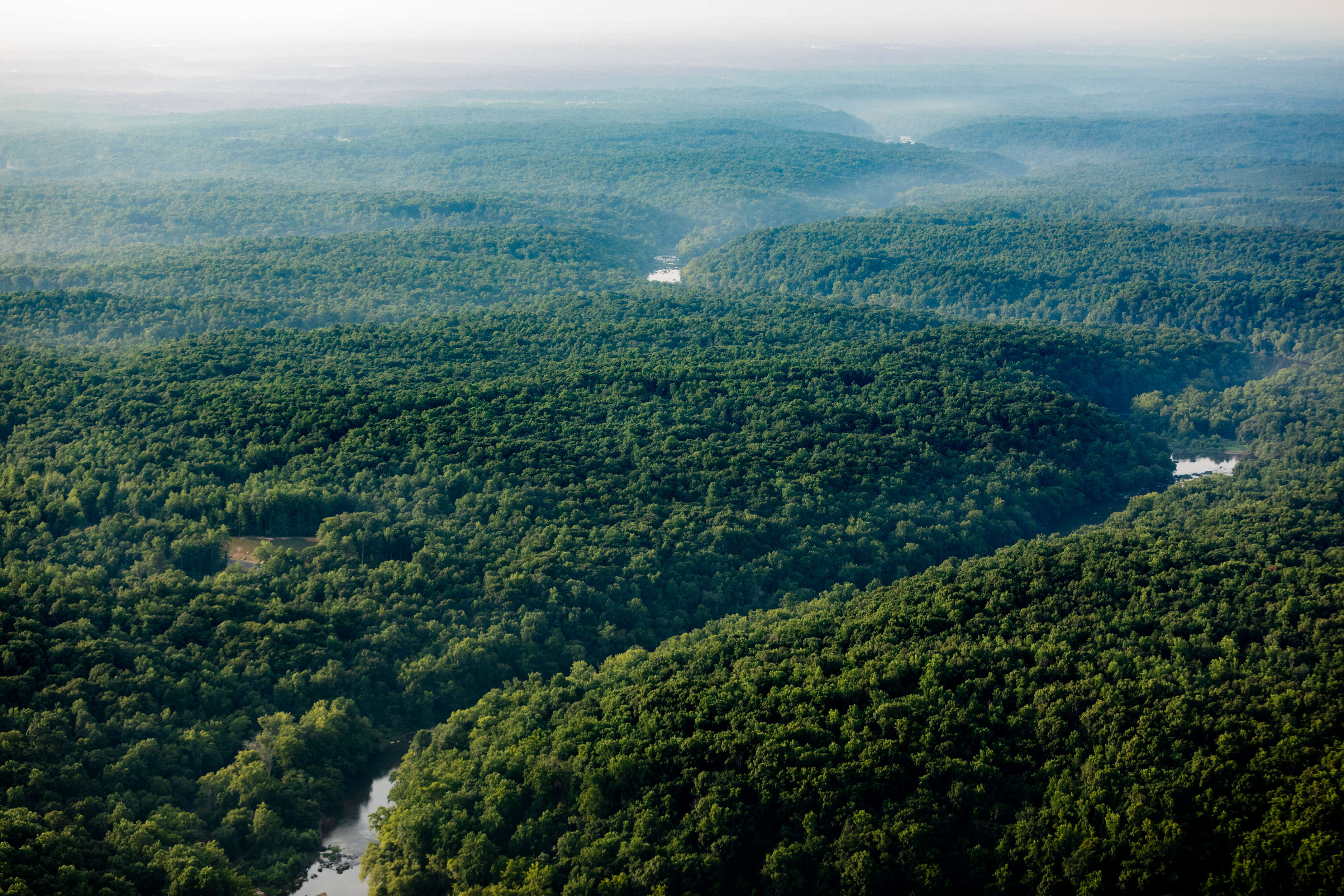
Satellite Map:
Related Photos:

Genie S 85

Boardwalk to Government Island

Government Island
Government Island Quarry

Basking In the Morning Sun
Abandoned house- Fredericksburg, VA, 680 Warrenton Road
Rappahannock Canal ruins, Fredericksburg Virginia

Ascending WACO

Abandoned house- Fredericksburg, VA, 680 Warrenton Road
Seven Lakes of Stafford County

Mountain View Vol. Rescue Squad

Stafford Marketplace
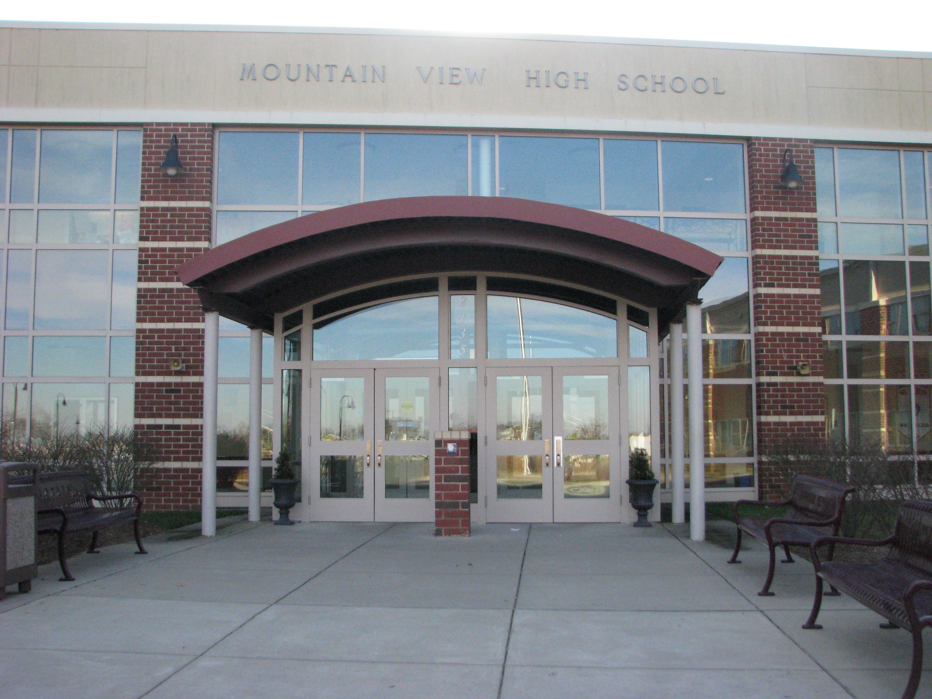
Mountain View High School in Stafford County

Hunter's Pond of Stafford County

Millstone at the Glens in Stafford County

Richland Forest Subdivision, Stafford County

Embrey Mill Subdivision by Newland Communities

Embrey Mill Subdivision (Phase 1) Stafford County
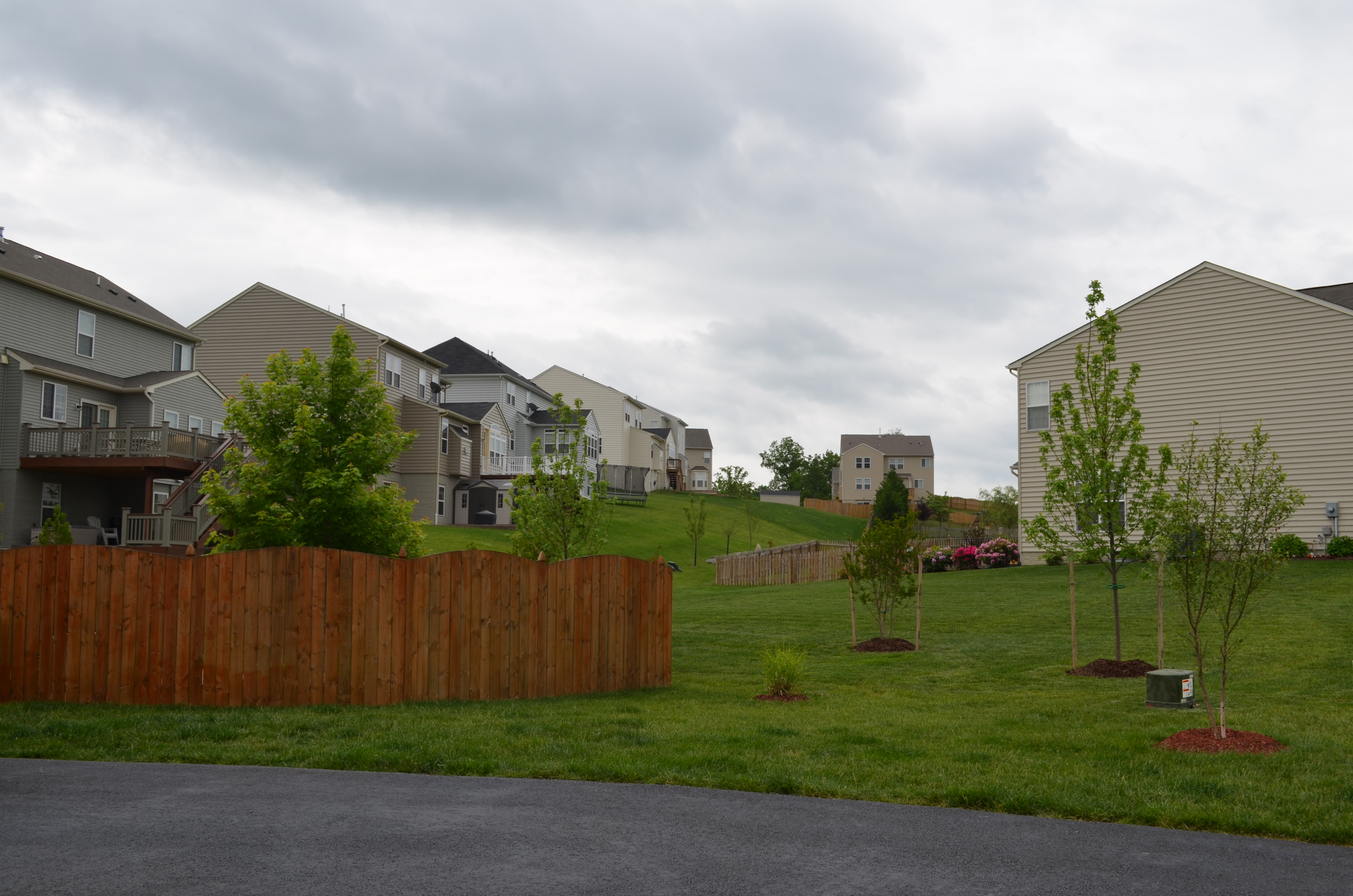
Austin Ridge Homes in Section 8B

The Glendale Model by Augustine Homes

Stafford County Administration Center

Autumn on Spotylvania Furnace Road
Government Island

Government Island

Power over the landscape

Development in Stafford County, Virginia

Residential development in Stafford County, Virginia

Rocky Gap State Park in Allegany County, Md.

Abel Lake Falls in Stafford County, Virginia

Rappahannock River in Culpeper County, Virginia

Rappahannock River in Culpeper County, Virginia

Stafford County, Virginia

Great Blue Heron

Stafford County, Virginia
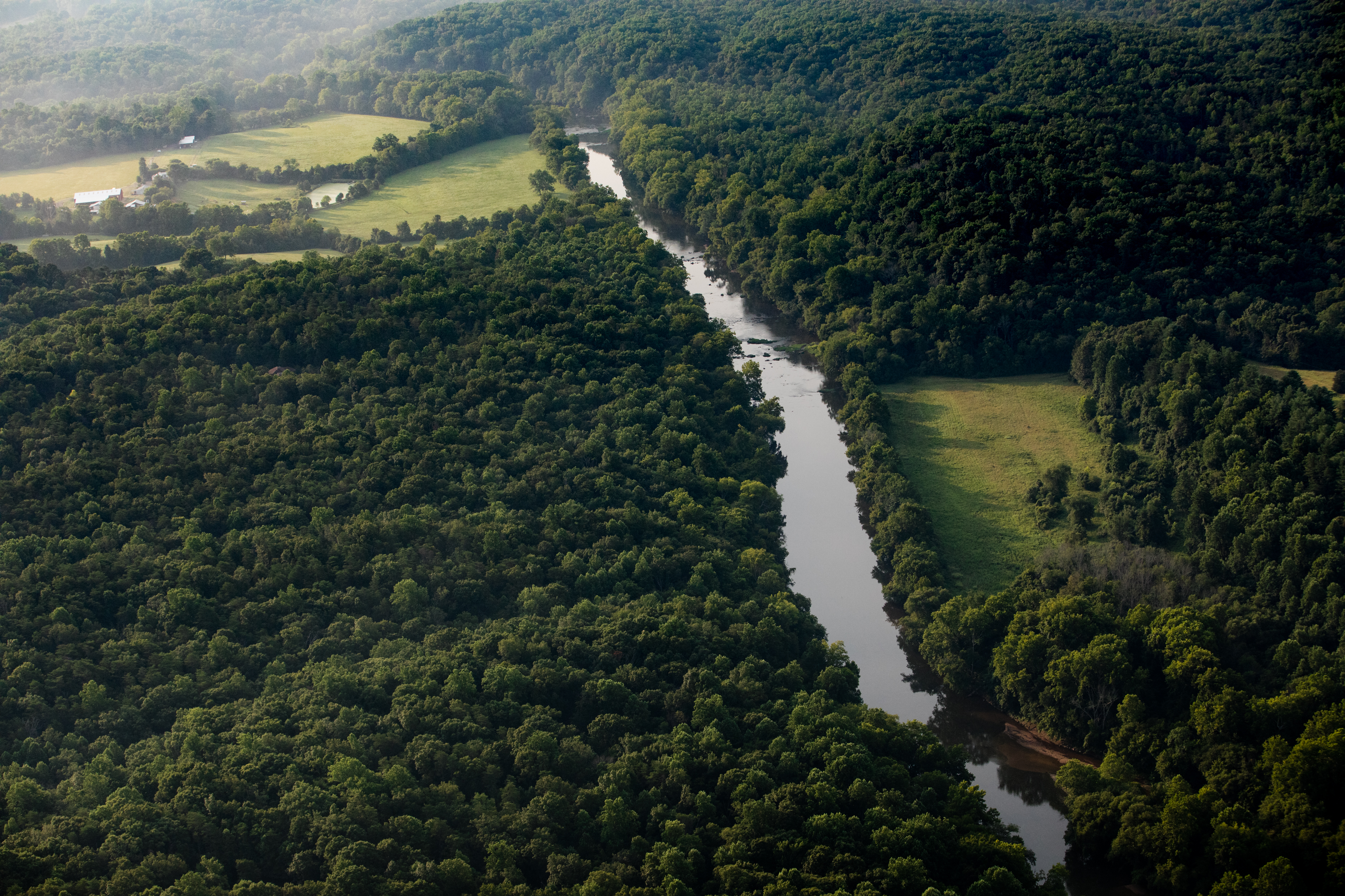
Rappahannock River in Culpeper County, Virginia

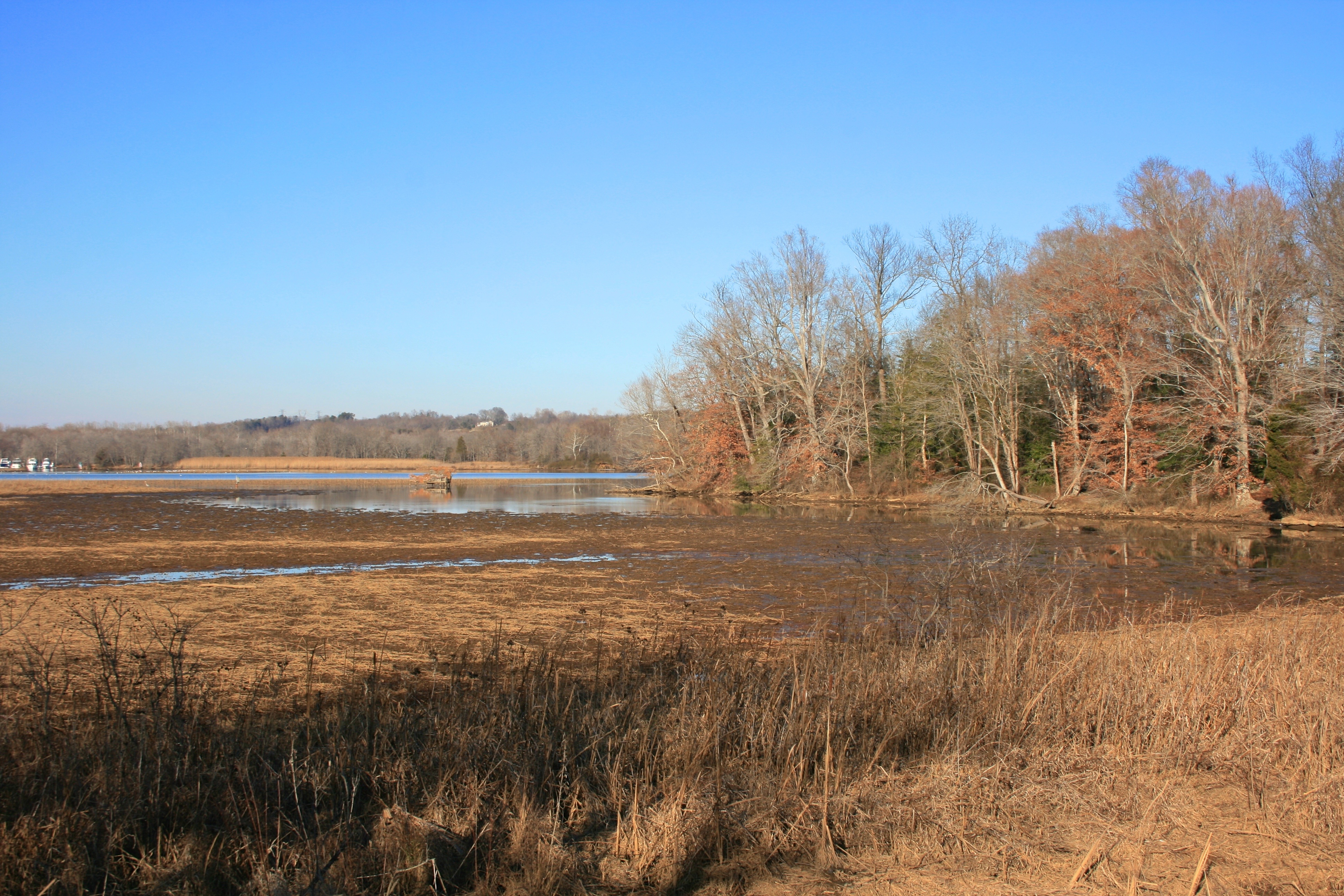
Aquia Creek in Stafford County, Virginia
Rappahannock River in Fauquier County, Virginia

Government Island

Rappahannock River in Stafford County, Virginia

Black-Eyed Susans

Rappahannock River in Fauquier County, Virginia
Topographic Map of Poplar Road, Poplar Rd, Stafford, VA, USA
Find elevation by address:

Places near Poplar Road, Poplar Rd, Stafford, VA, USA:
Stately Avenue
Stately Avenue
8 Campbell Ct
1010 Bailey Ct
322 Rock Hill Church Rd
1691 Hartwood Rd
354 Hartwood Rd
339 Richland Rd
692 Stefaniga Rd
272 Spotted Tavern Rd
67 Cardinal Crest Drive
Rock Hill
Shelton Shop Rd, Stafford, VA, USA
20 Whitetail Way
20 Whitetail Way
428 Cropp Rd
Warrenton Rd, Fredericksburg, VA, USA
7 Cattail Ct
Hartwood
305 Renegade Dr
Recent Searches:
- Elevation of Elwyn Dr, Roanoke Rapids, NC, USA
- Elevation of Congressional Dr, Stevensville, MD, USA
- Elevation of Bellview Rd, McLean, VA, USA
- Elevation of Stage Island Rd, Chatham, MA, USA
- Elevation of Shibuya Scramble Crossing, 21 Udagawacho, Shibuya City, Tokyo -, Japan
- Elevation of Jadagoniai, Kaunas District Municipality, Lithuania
- Elevation of Pagonija rock, Kranto 7-oji g. 8"N, Kaunas, Lithuania
- Elevation of Co Rd 87, Jamestown, CO, USA
- Elevation of Tenjo, Cundinamarca, Colombia
- Elevation of Côte-des-Neiges, Montreal, QC H4A 3J6, Canada