Elevation of Ponce De Leon Rd, Pembroke, NC, USA
Location: United States > North Carolina > Robeson County > Philadelphus >
Longitude: -79.193681
Latitude: 34.7315391
Elevation: 57m / 187feet
Barometric Pressure: 101KPa
Elevation Map:
Satellite Map:
Related Photos:
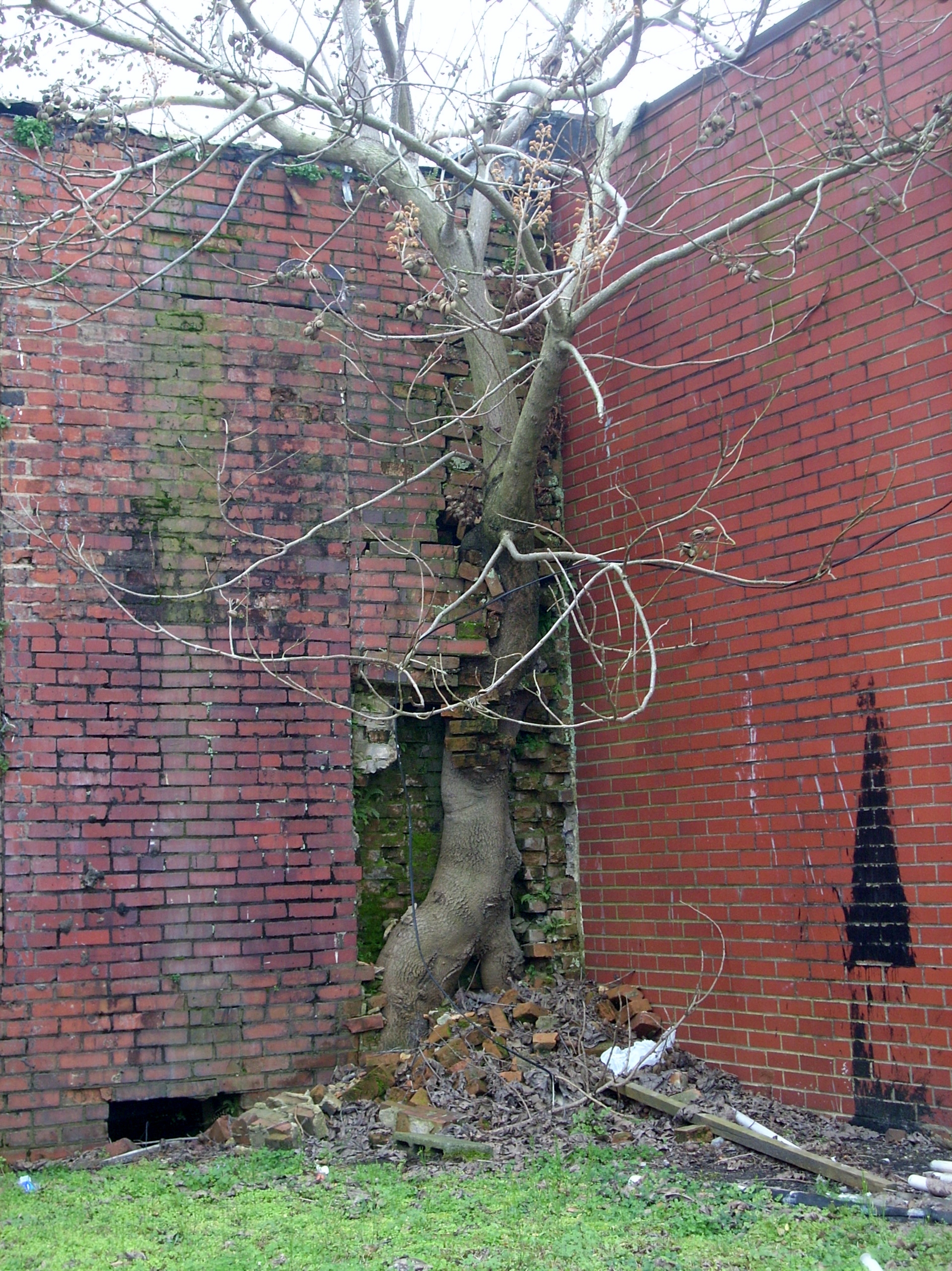
Force of Nature
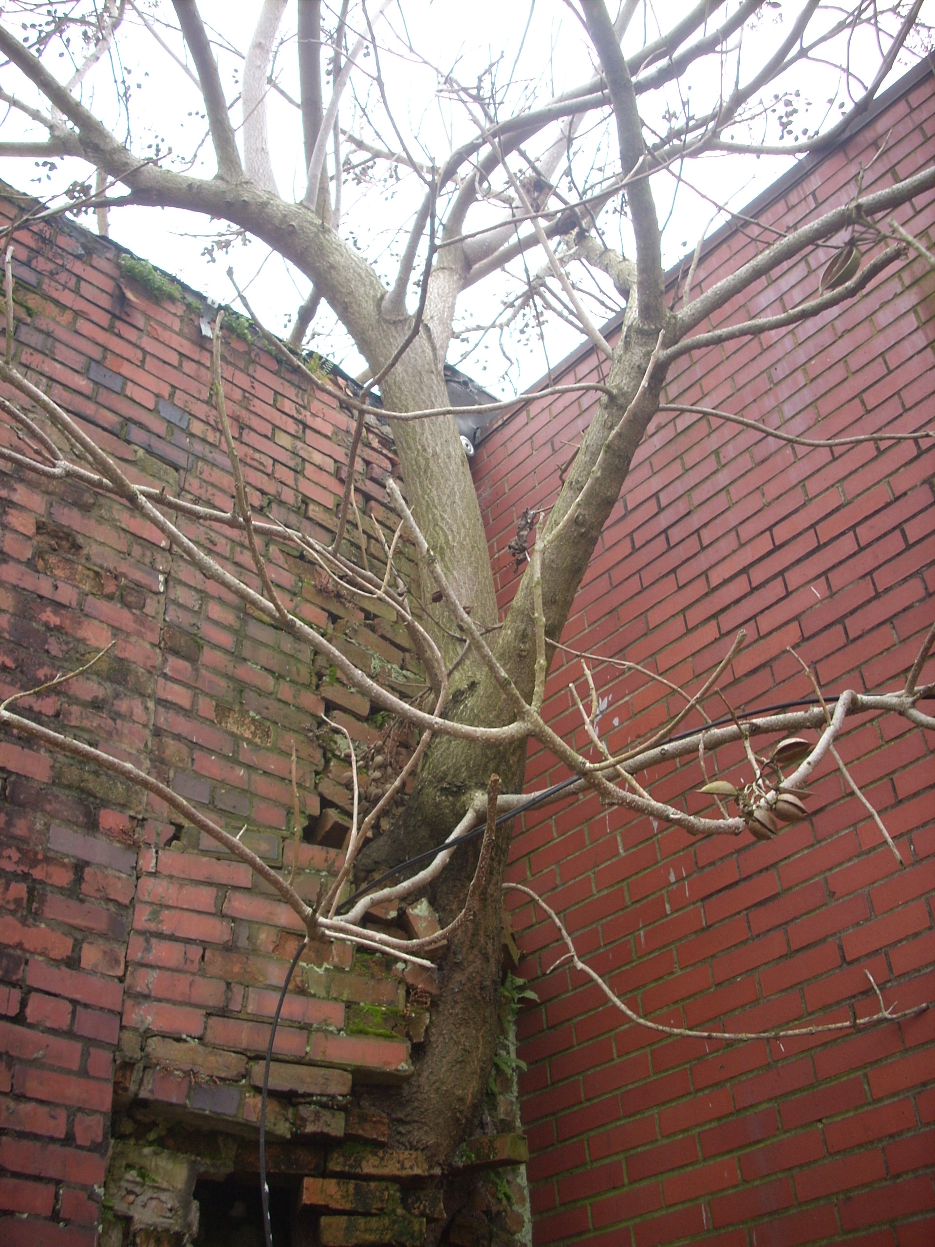
Another Tree in the Wall

Dodge Dart
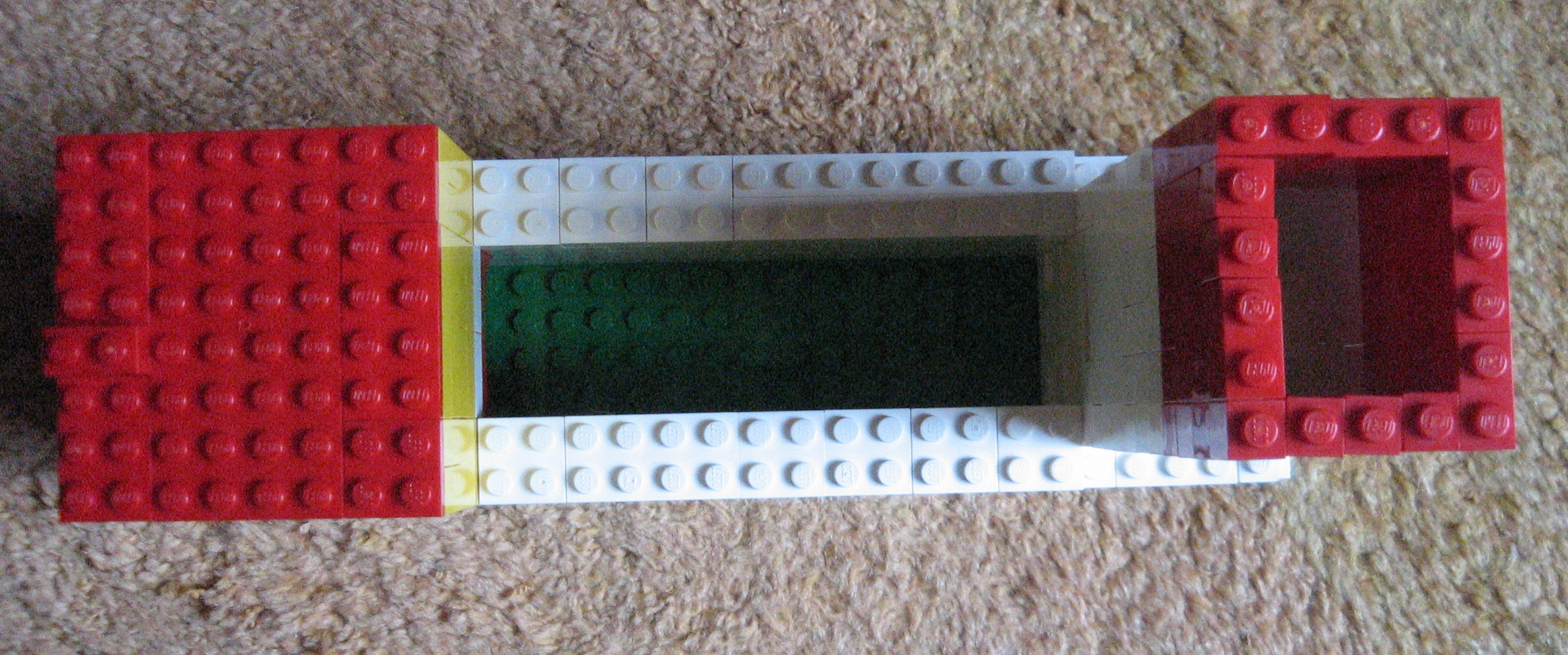
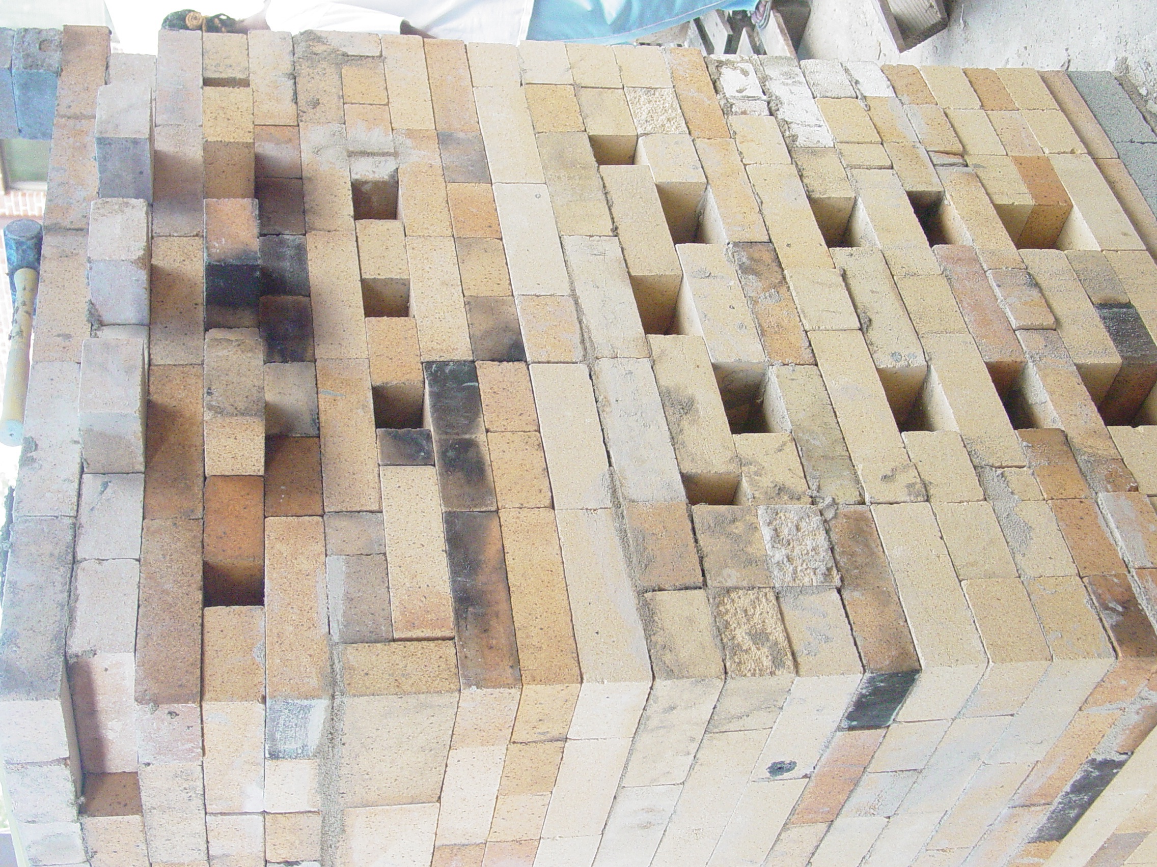
Lego Train Kiln
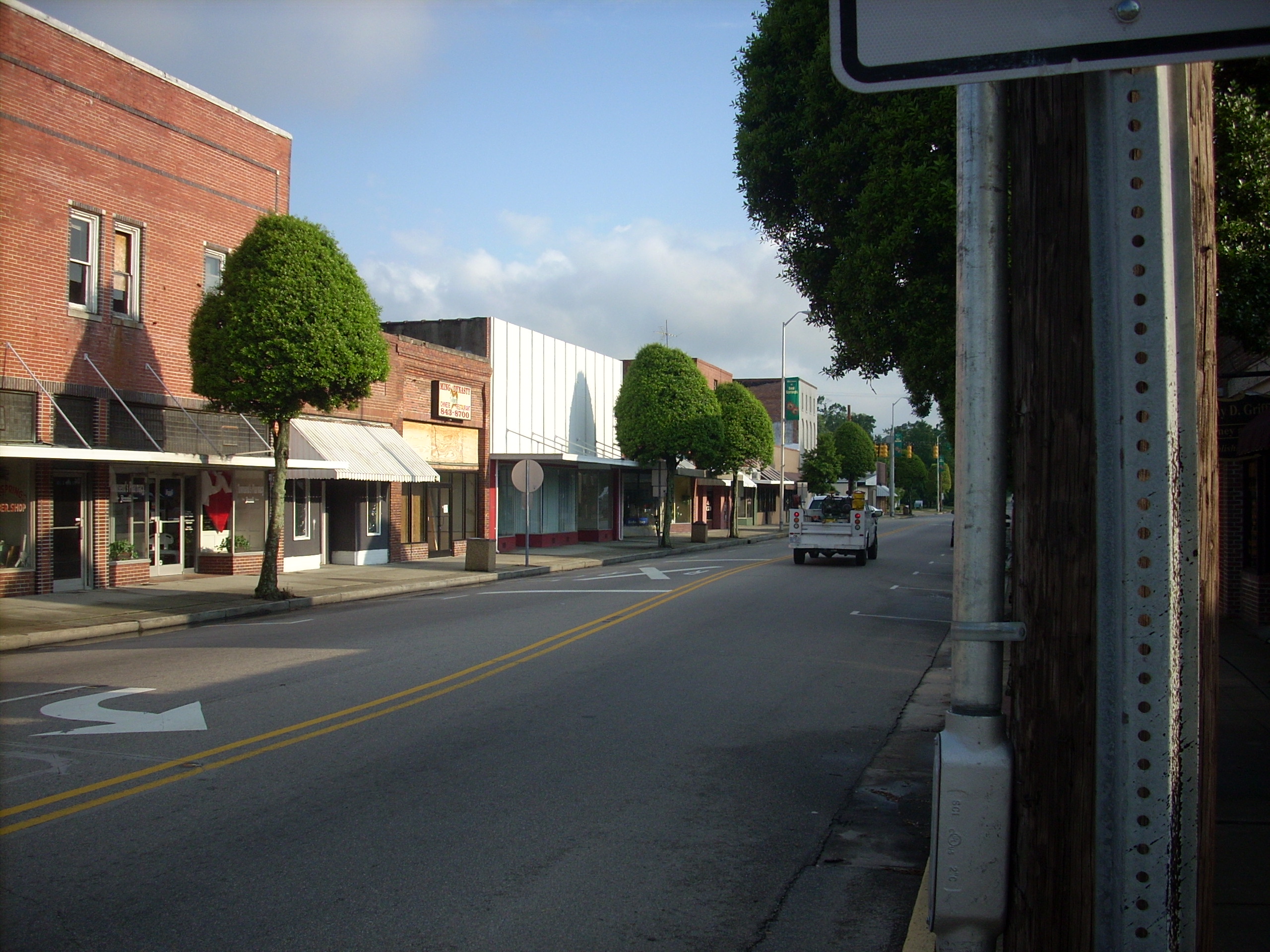
Red Springs
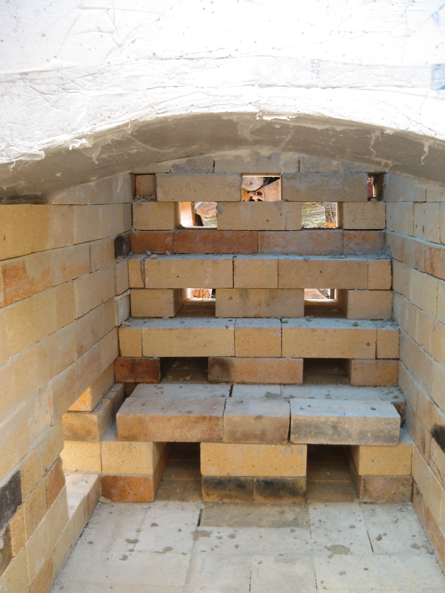
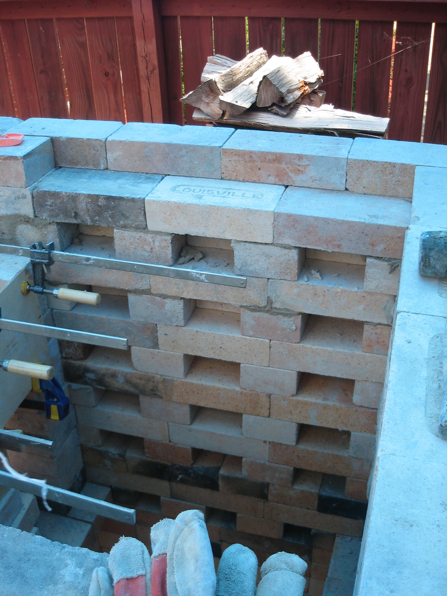
Day 12
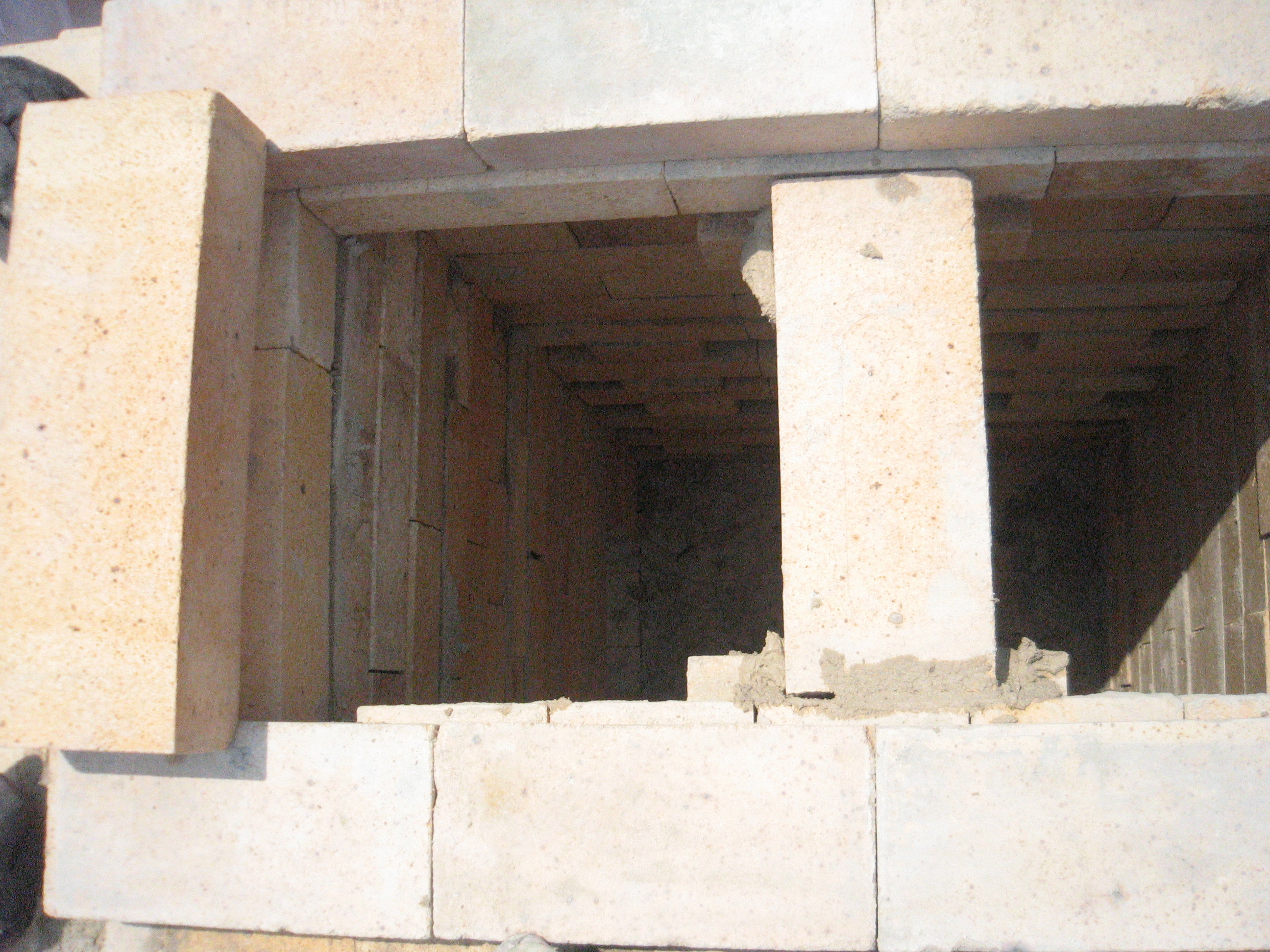
Day 12 Throat Arch
Day 11 View showing first six primary air ports above grate bars
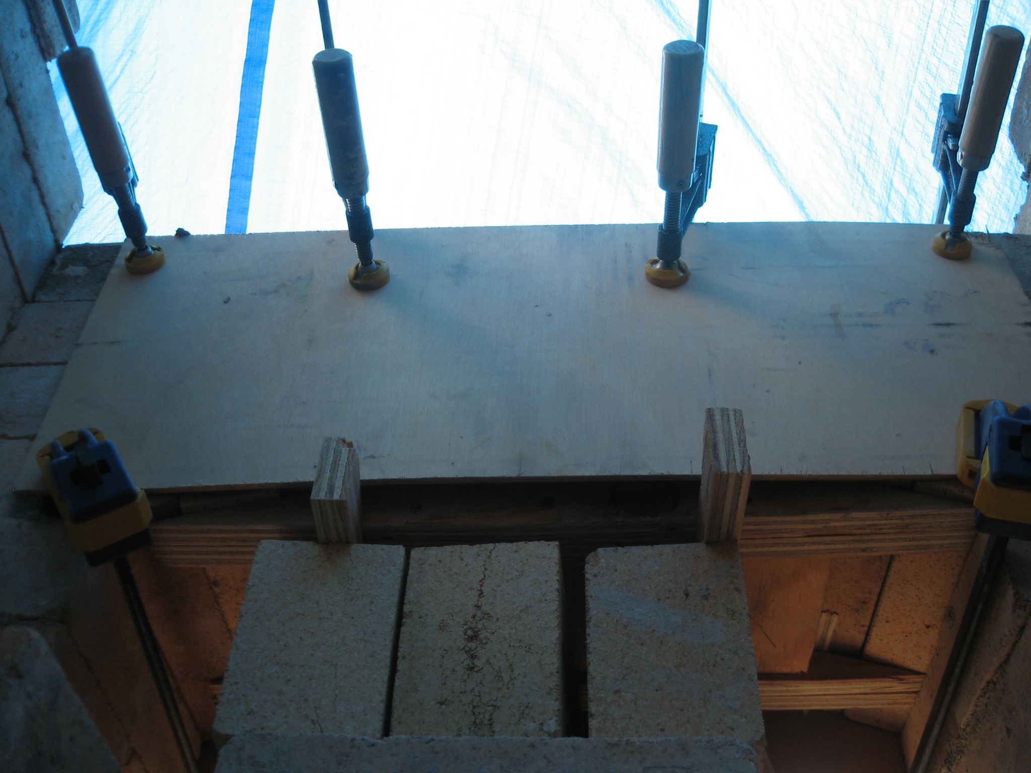
Day 12 inside view of mold for leveling firebox door arch
Day 12 Firebox view of scew area set up for arch form
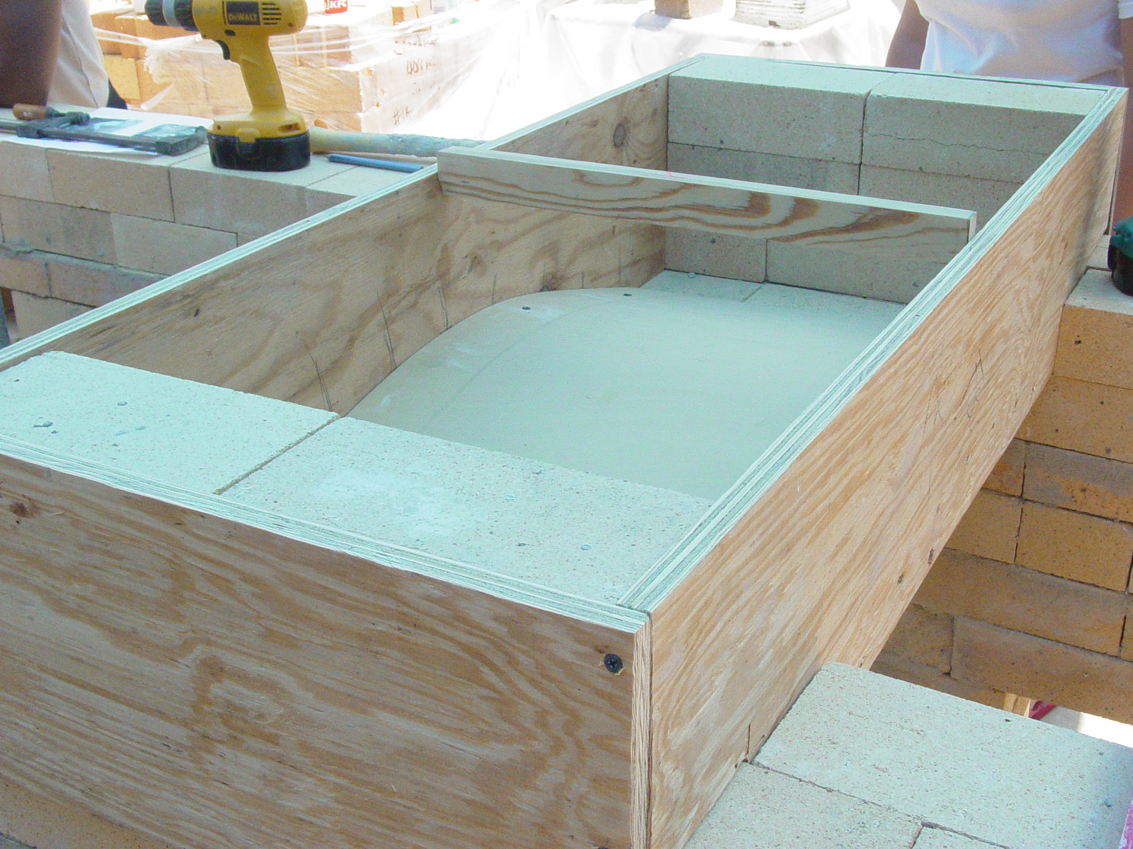
Day 10 side view of form showing the 19.25 side wall of arch form
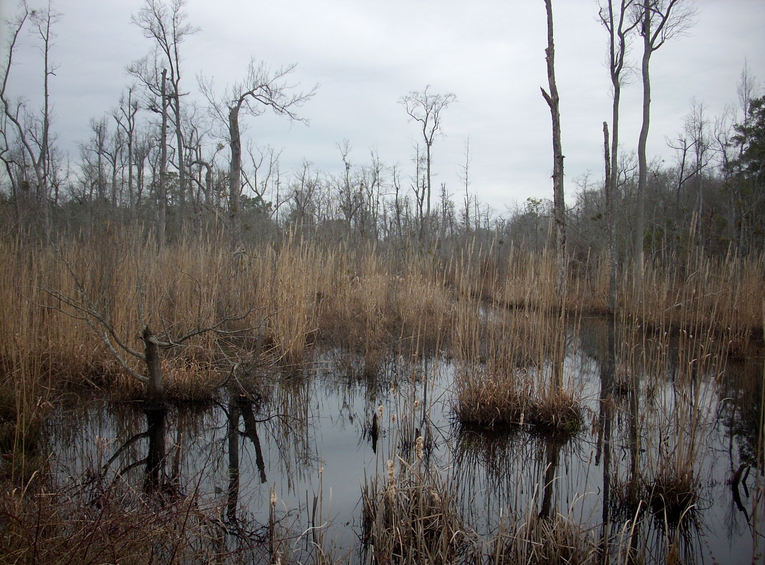
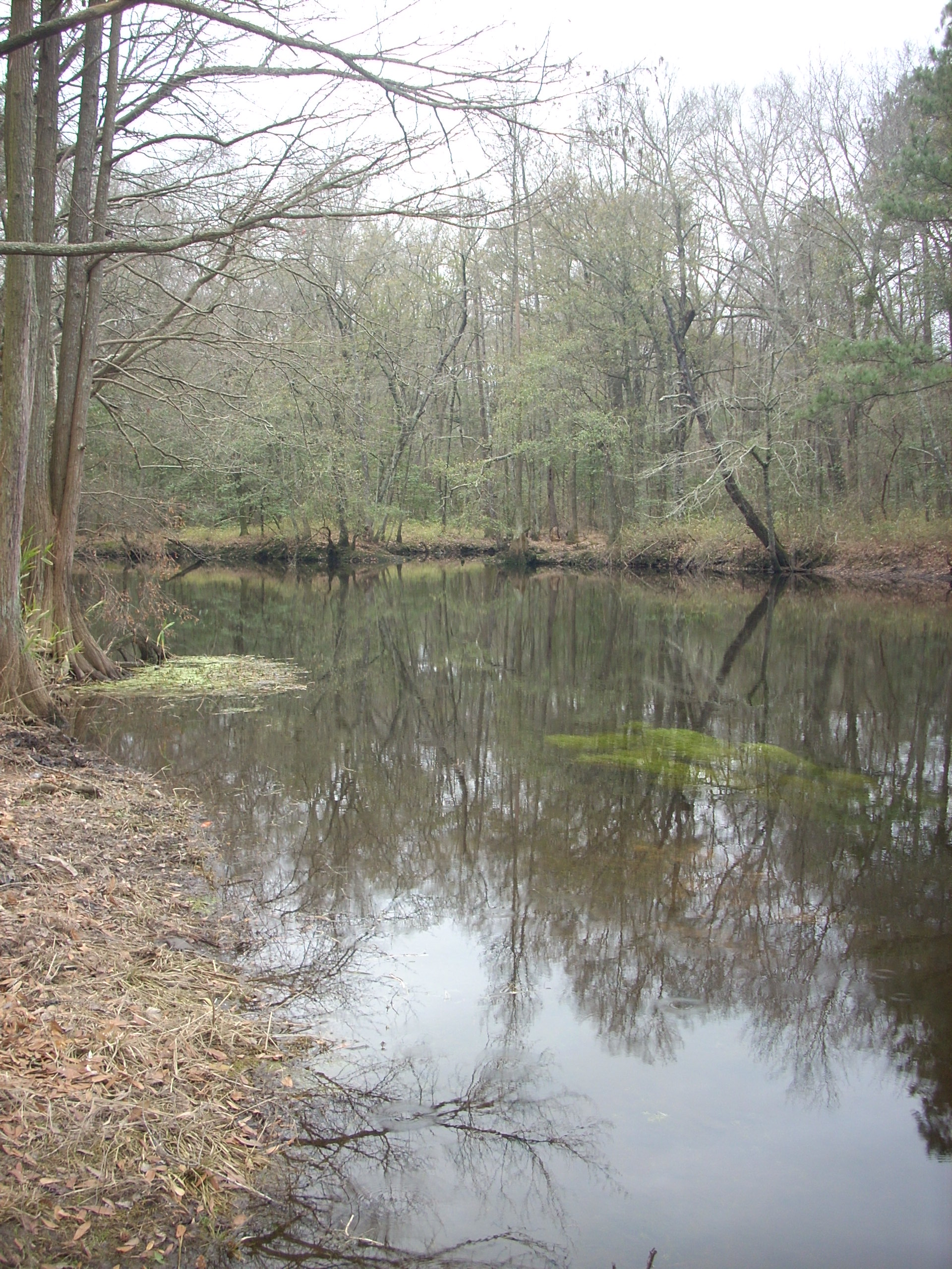
Wetland 2
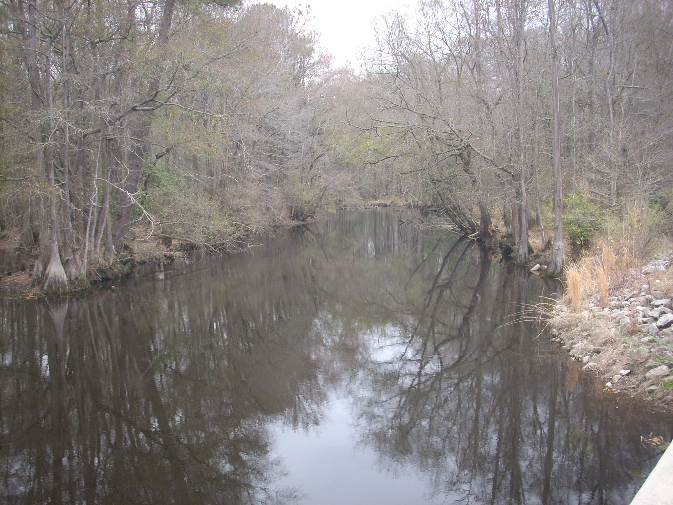
Lumber River 3
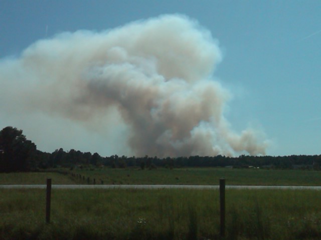
Where there's smoke...
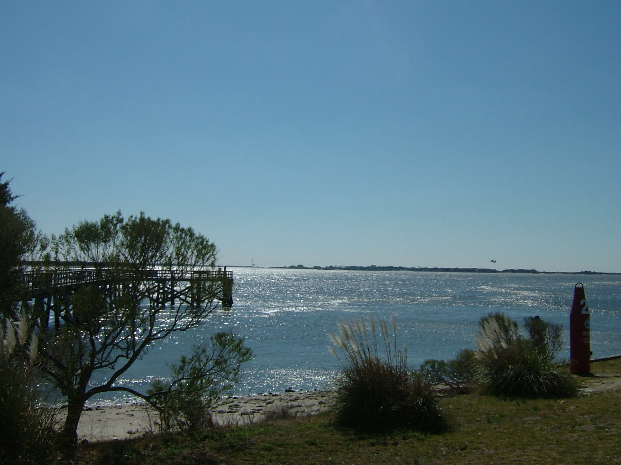
Lumber River
lifes too short go for the it
Topographic Map of Ponce De Leon Rd, Pembroke, NC, USA
Find elevation by address:

Places near Ponce De Leon Rd, Pembroke, NC, USA:
1075 Melinda Rd
The University Of North Carolina At Pembroke
Buie - Philadelphus Rd, Red Springs, NC, USA
Philadelphus
Pembroke
Pembroke
Smiths
Red Springs
Red Springs
Alma Rd, Maxton, NC, USA
Lumberton, Nc
Robeson County
Raft Swamp
Rennert
Rennert
Morgan J Rd, Rennert, NC, USA
Maxton
Johnny Johnson Street
Back Swamp
Lumber River
Recent Searches:
- Elevation of Tenjo, Cundinamarca, Colombia
- Elevation of Côte-des-Neiges, Montreal, QC H4A 3J6, Canada
- Elevation of Bobcat Dr, Helena, MT, USA
- Elevation of Zu den Ihlowbergen, Althüttendorf, Germany
- Elevation of Badaber, Peshawar, Khyber Pakhtunkhwa, Pakistan
- Elevation of SE Heron Loop, Lincoln City, OR, USA
- Elevation of Slanický ostrov, 01 Námestovo, Slovakia
- Elevation of Spaceport America, Co Rd A, Truth or Consequences, NM, USA
- Elevation of Warwick, RI, USA
- Elevation of Fern Rd, Whitmore, CA, USA