Elevation of Melinda Rd, Pembroke, NC, USA
Location: United States > North Carolina > Robeson County > Smiths >
Longitude: -79.219363
Latitude: 34.7474317
Elevation: 58m / 190feet
Barometric Pressure: 101KPa
Elevation Map:
Satellite Map:
Related Photos:
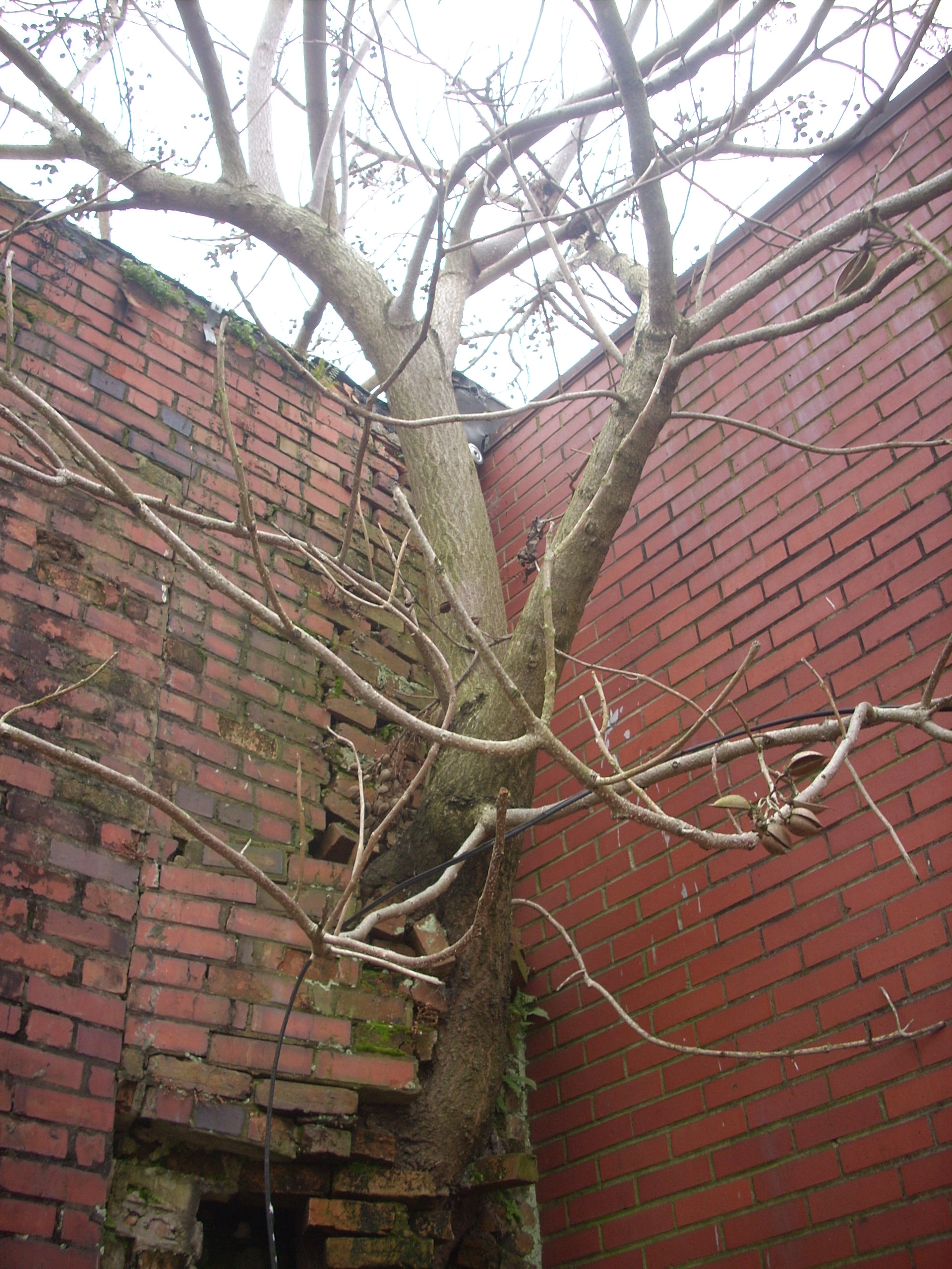
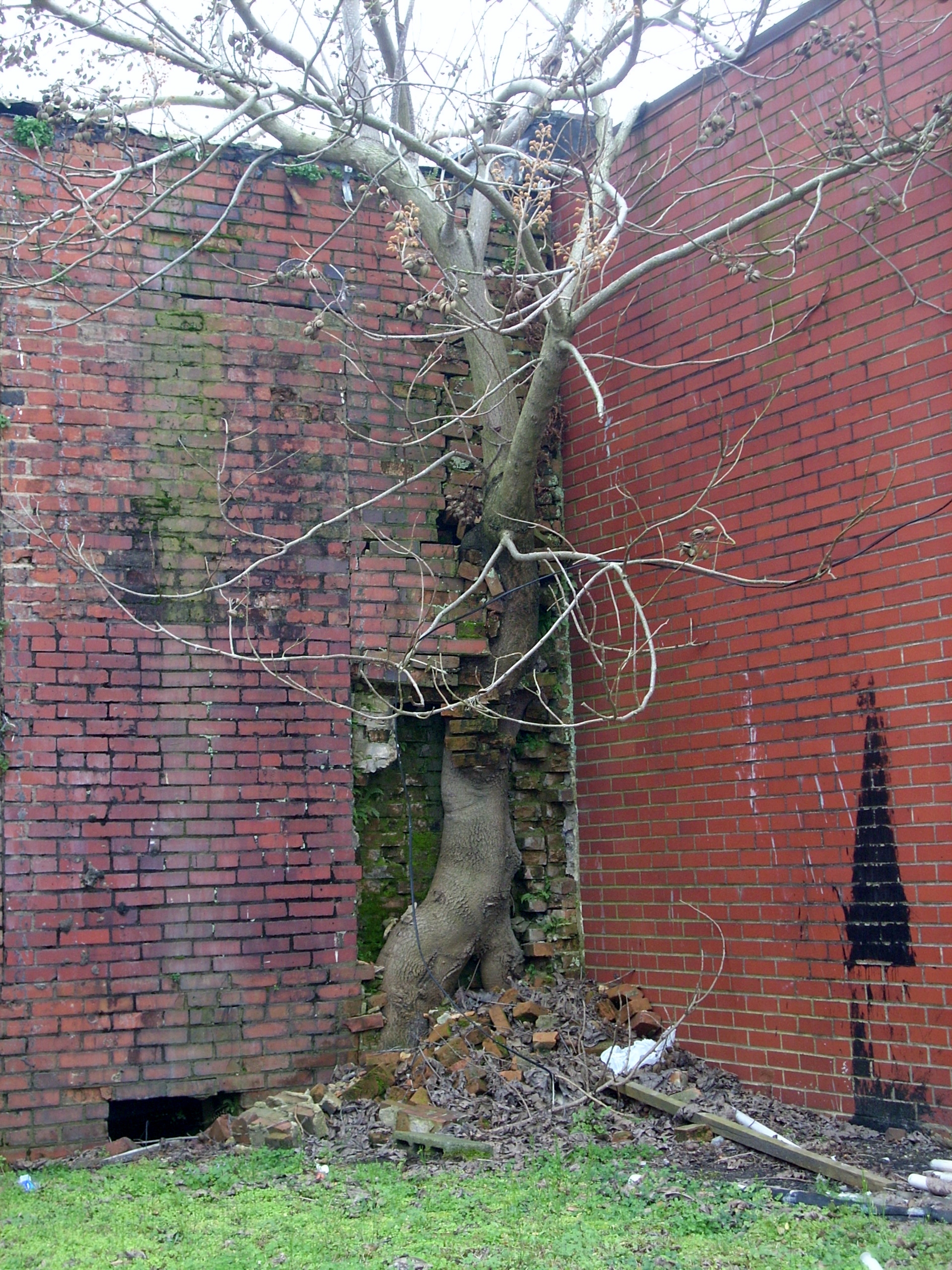
Another Tree in the Wall

Retired 747-100 at KMEB

Dodge Dart
Force of Nature

Lego Train Kiln
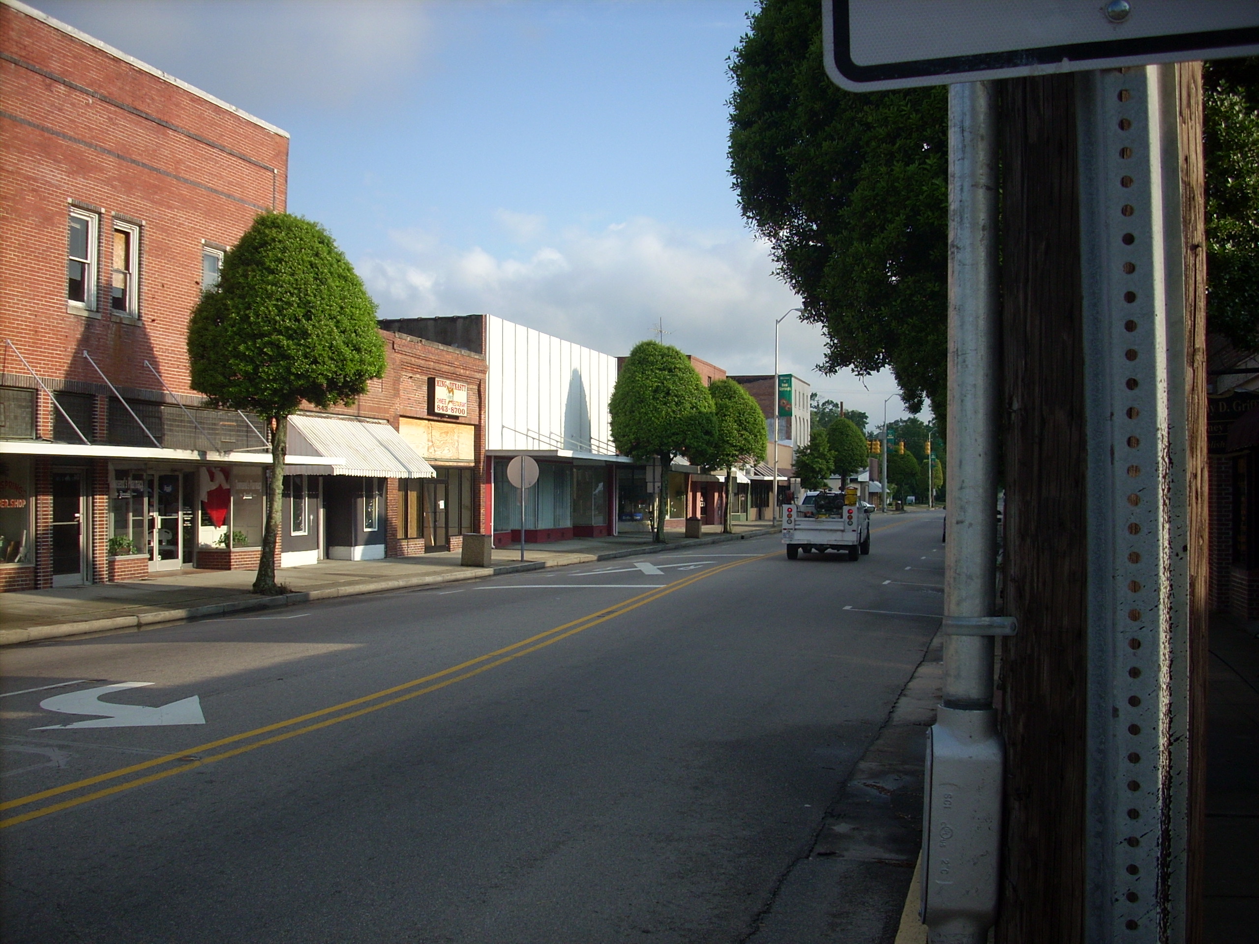
Red Springs
Day 12
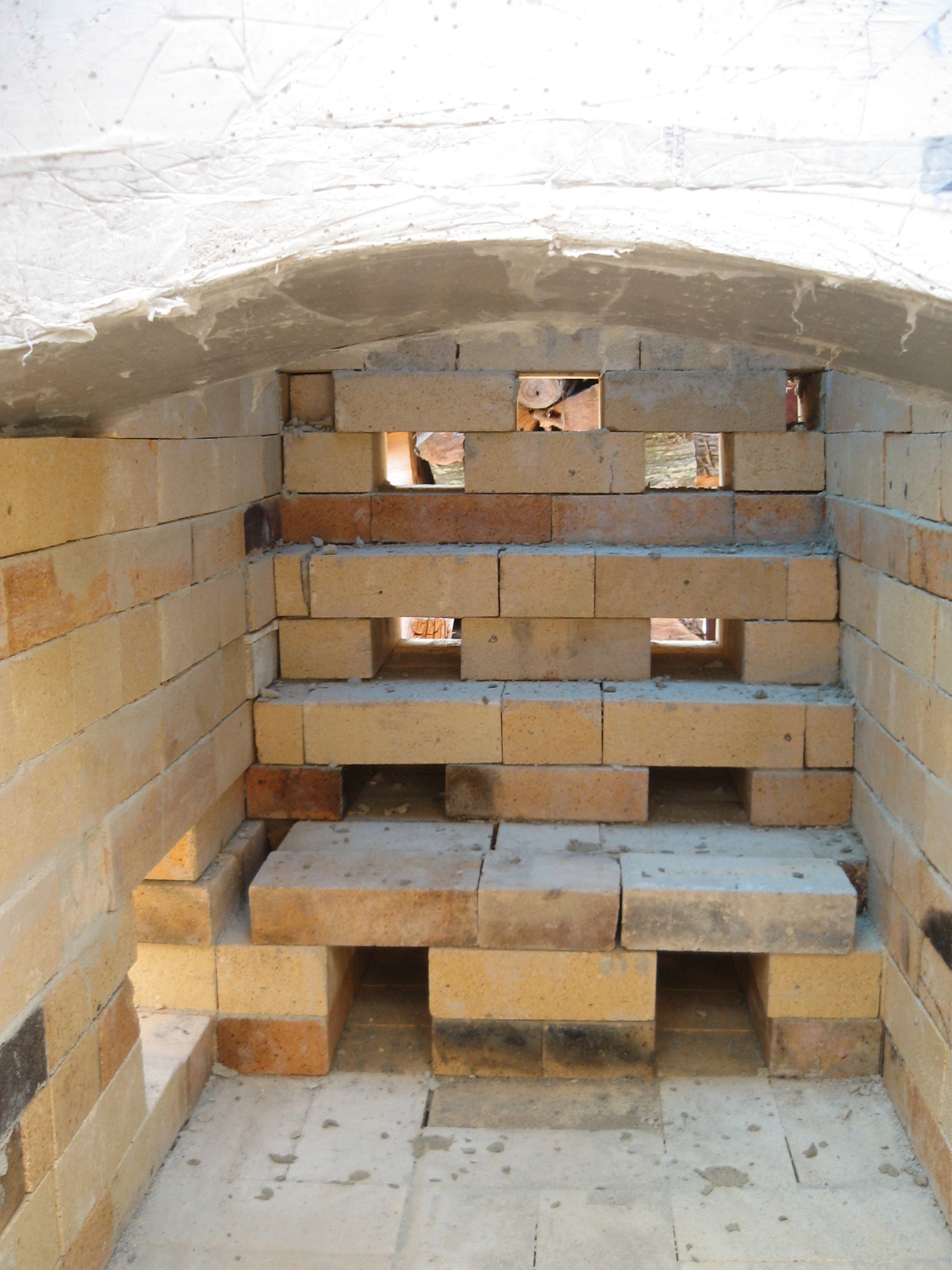
Day 12 Throat Arch
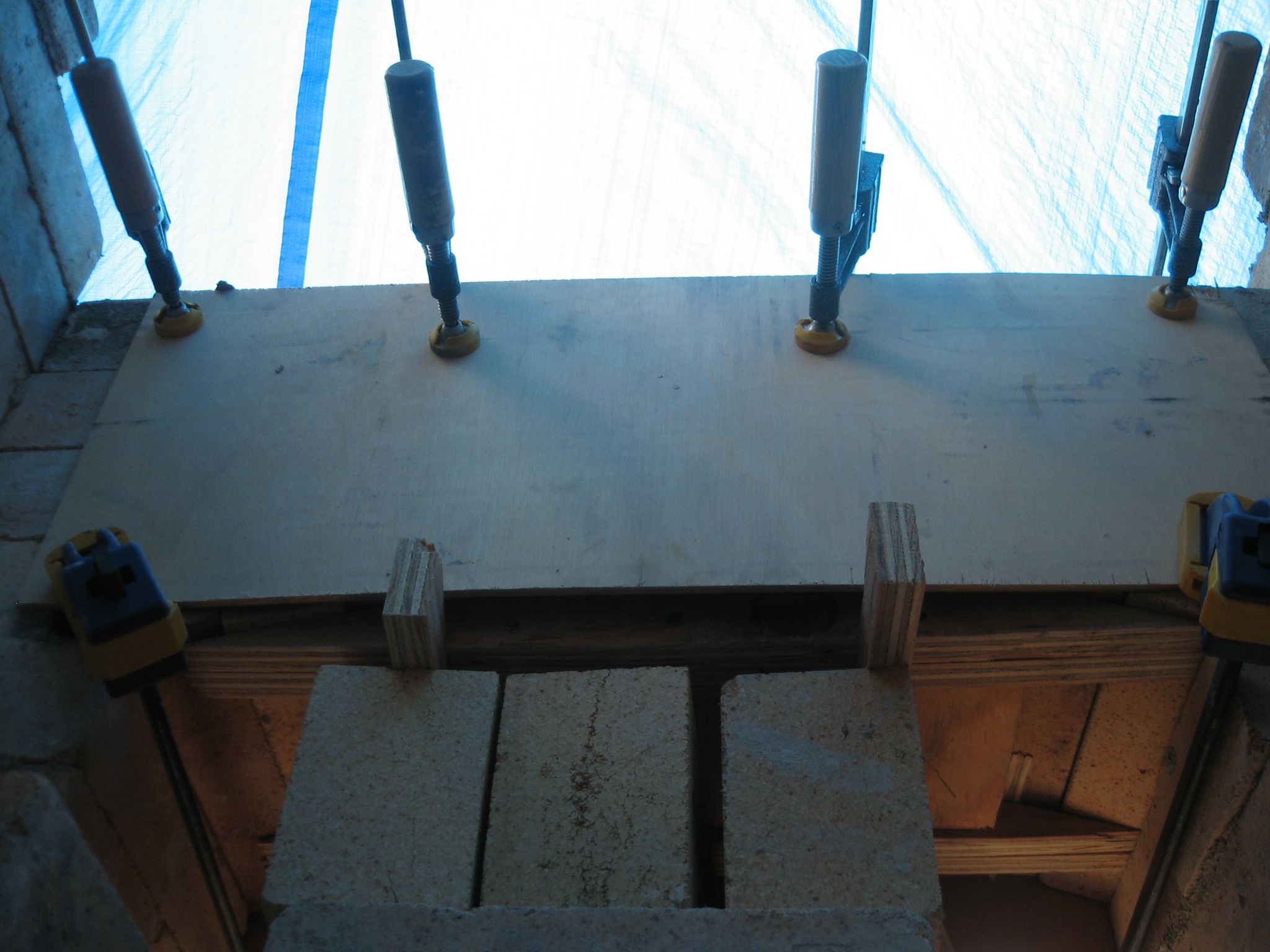
Day 12 inside view of mold for leveling firebox door arch
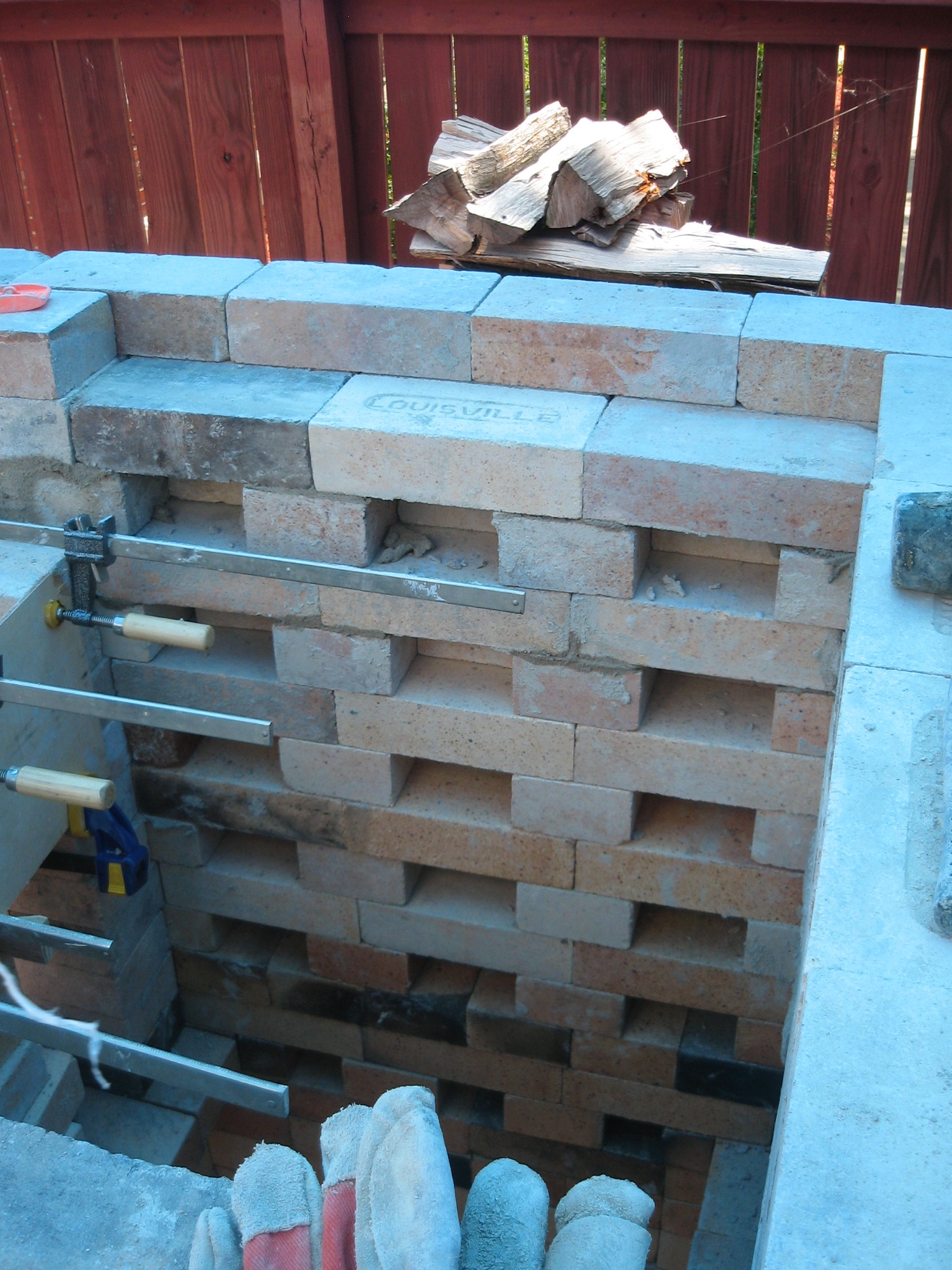
Day 12 Firebox view of scew area set up for arch form
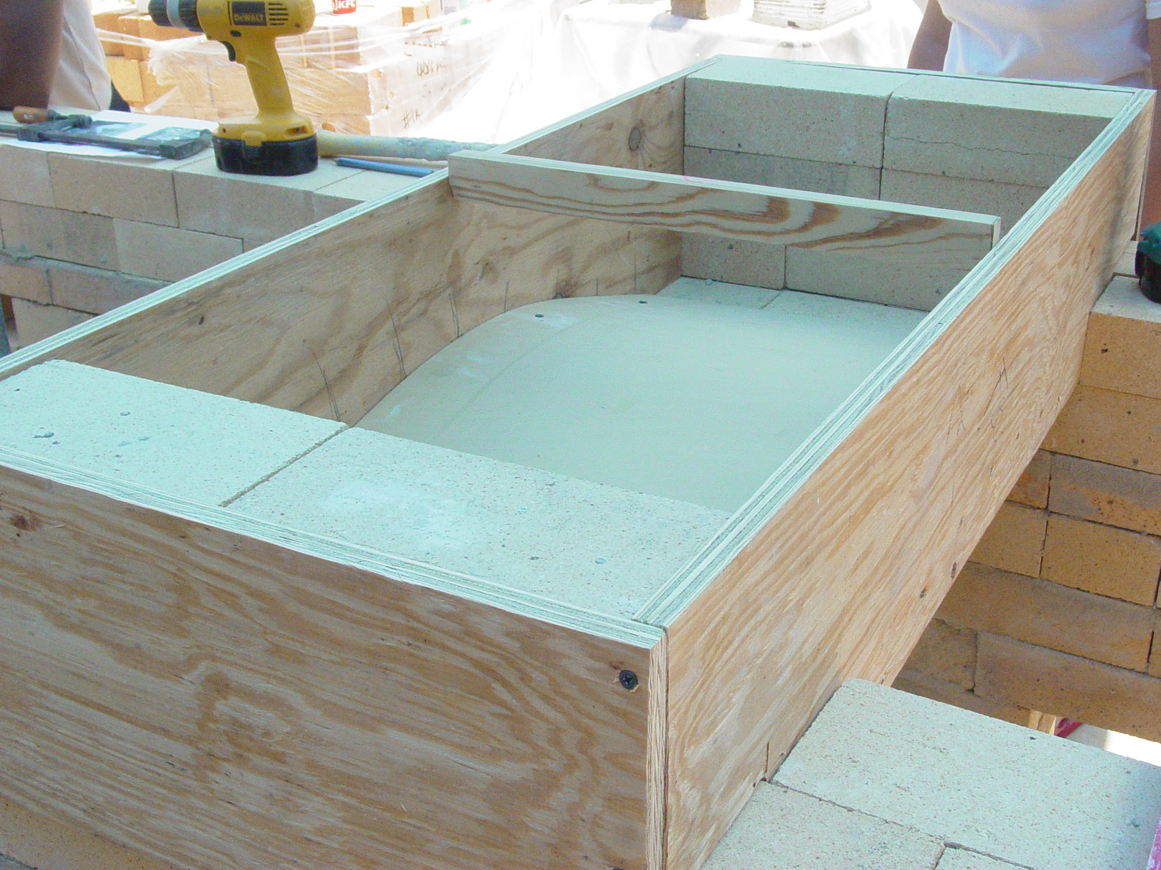
Day 10 side view of form showing the 19.25 side wall of arch form
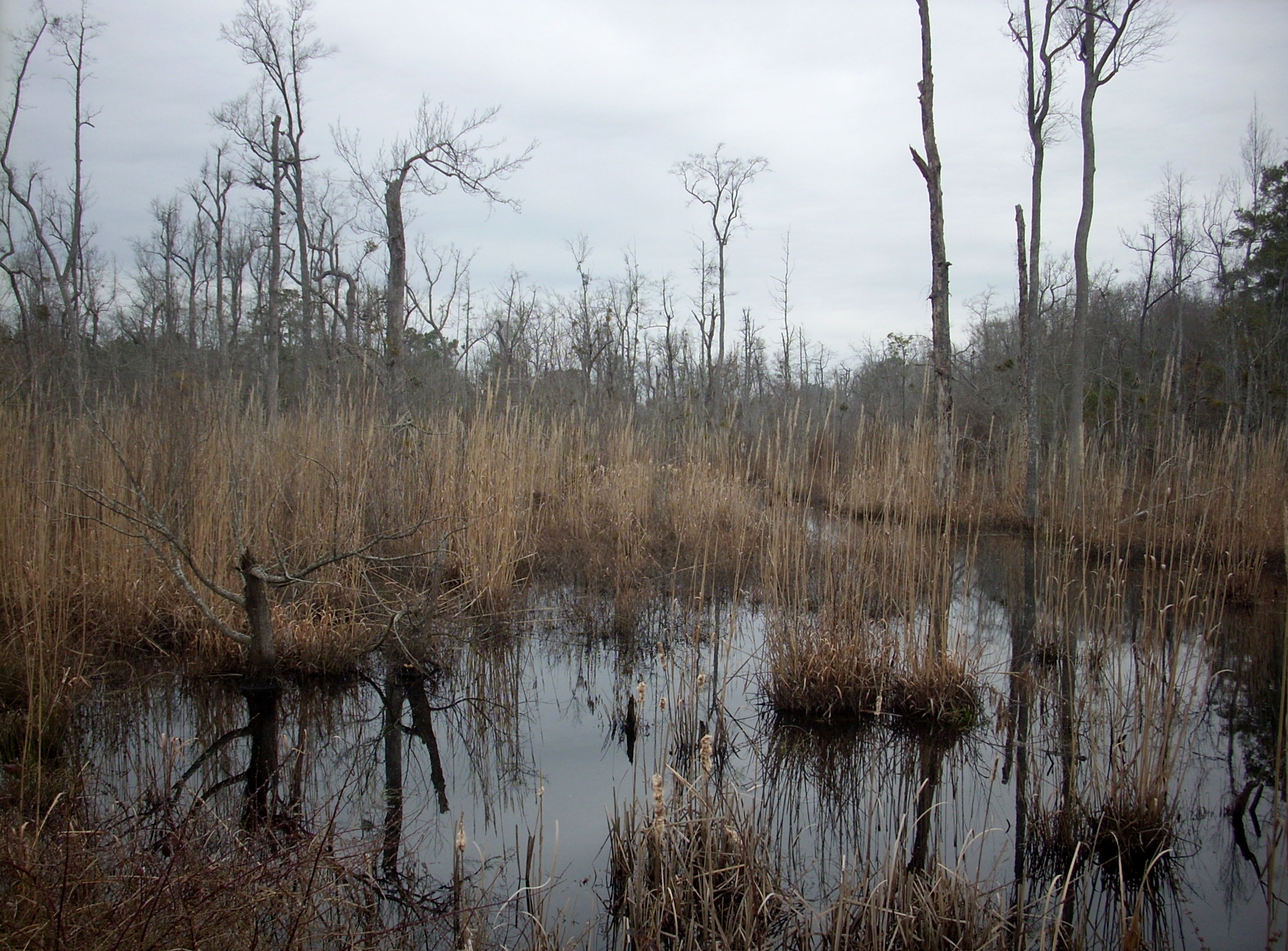
Wetland 2
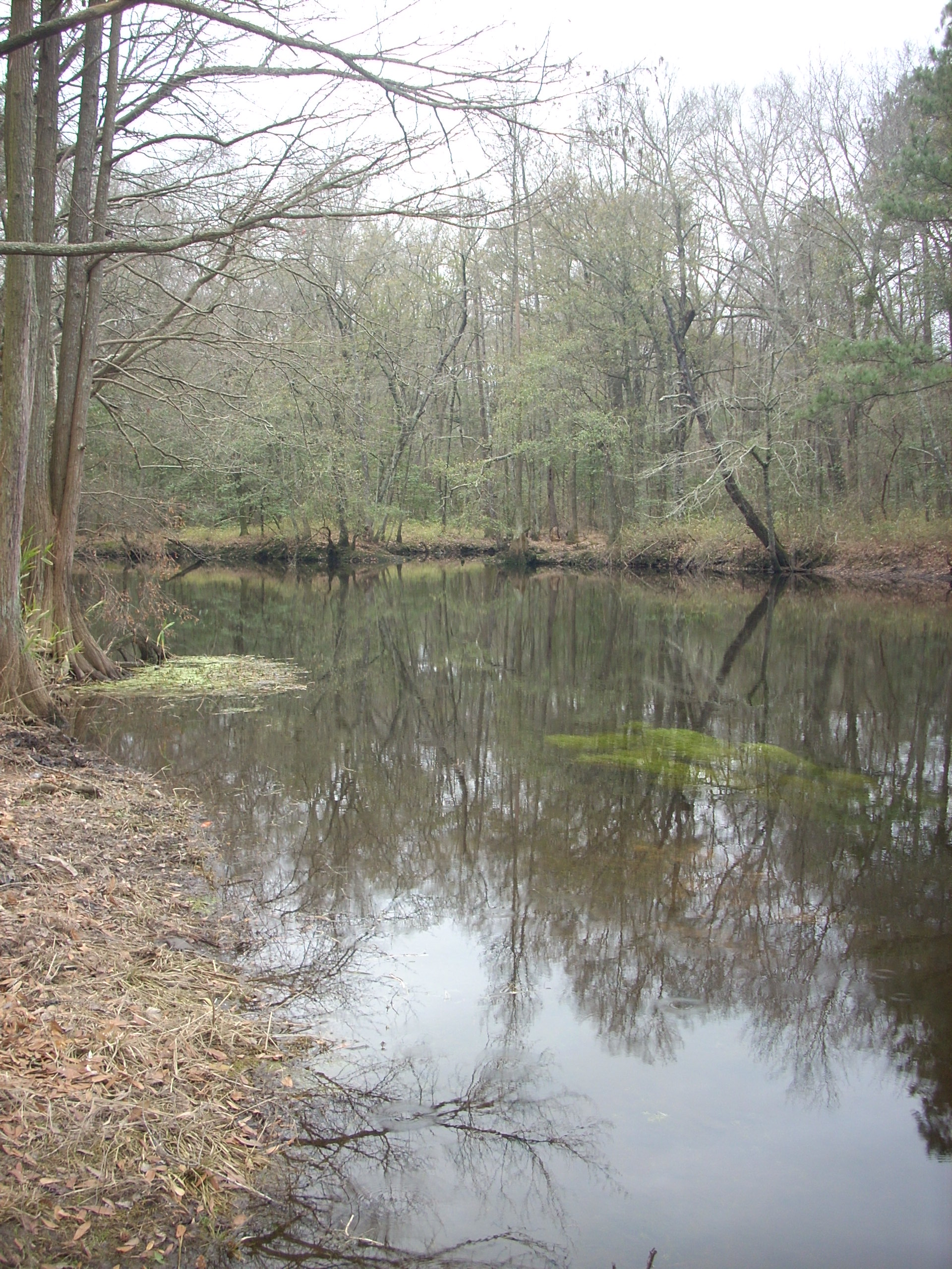
Lumber River
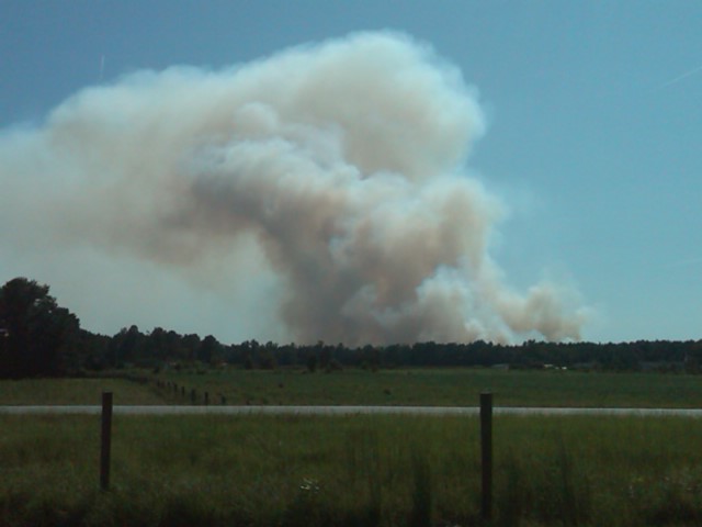
Where there's smoke...
Lumber River on NC 71
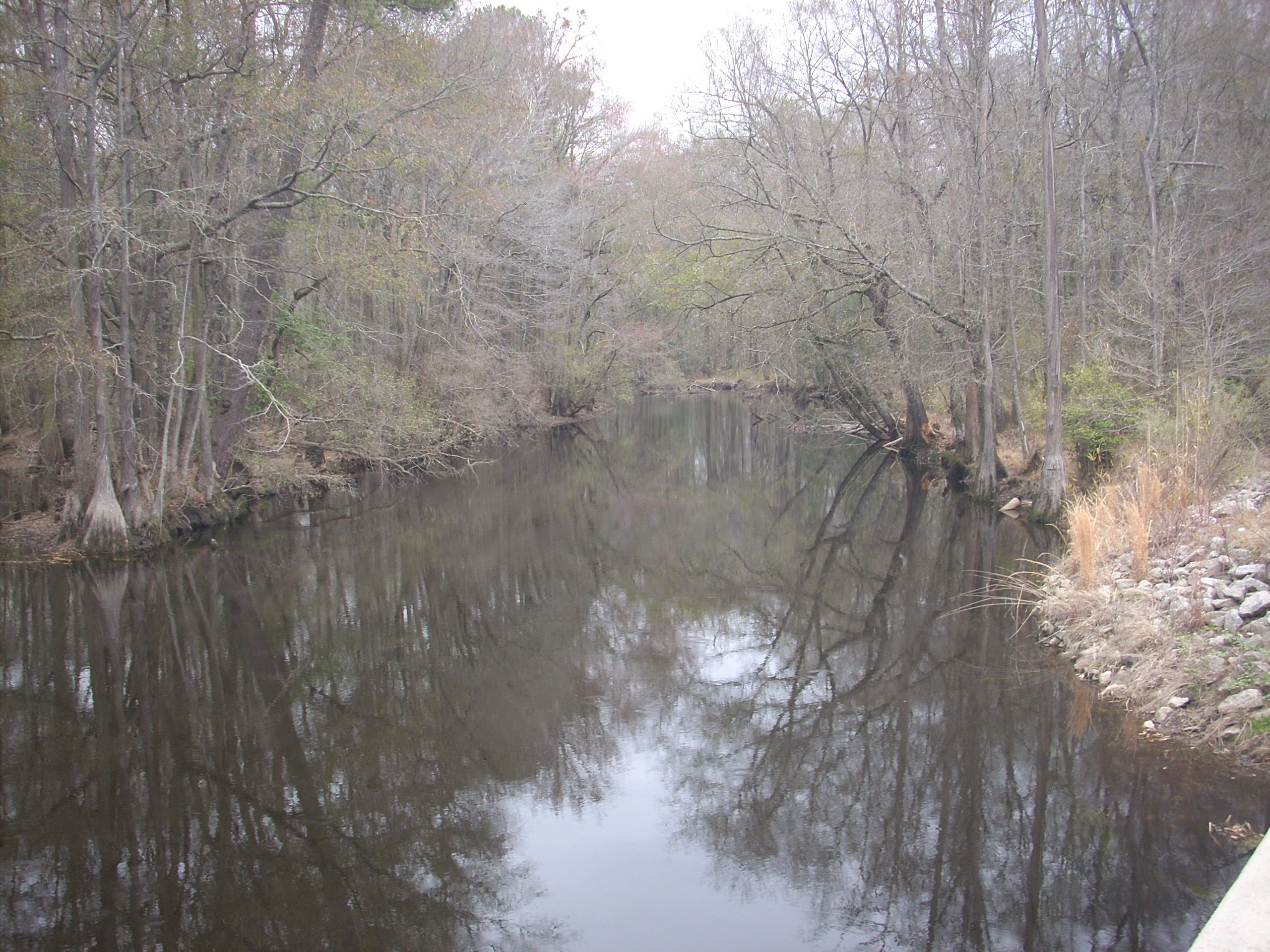
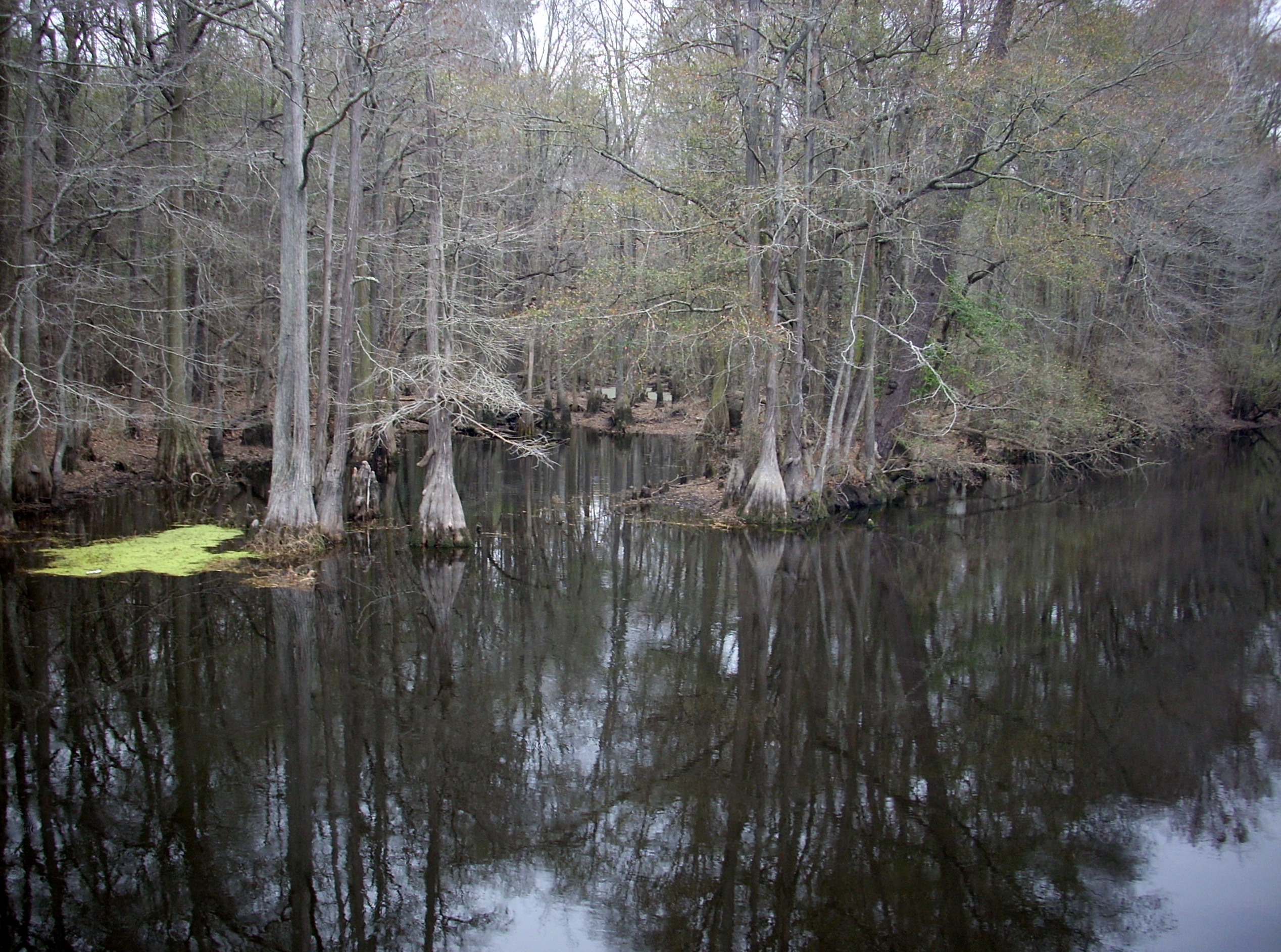
Lumber River 3
lifes too short go for the it
Topographic Map of Melinda Rd, Pembroke, NC, USA
Find elevation by address:

Places near Melinda Rd, Pembroke, NC, USA:
809 Ponce De Leon Rd
Smiths
The University Of North Carolina At Pembroke
Pembroke
Pembroke
Buie - Philadelphus Rd, Red Springs, NC, USA
Philadelphus
Red Springs
Red Springs
Alma Rd, Maxton, NC, USA
Maxton
Rennert
Rennert
Morgan J Rd, Rennert, NC, USA
Lumberton, Nc
Robeson County
Raft Swamp
North Rocky Ford Road
Back Swamp
Johnny Johnson Street
Recent Searches:
- Elevation of 4 Vale Rd, Sheffield S3 9QX, UK
- Elevation of Keene Point Drive, Keene Point Dr, Grant, AL, USA
- Elevation of State St, Zanesville, OH, USA
- Elevation of Austin Stone Dr, Haslet, TX, USA
- Elevation of Bydgoszcz, Poland
- Elevation of Bydgoszcz, Poland
- Elevation of Calais Dr, Del Mar, CA, USA
- Elevation of Placer Mine Ln, West Jordan, UT, USA
- Elevation of E 63rd St, New York, NY, USA
- Elevation of Elk City, OK, USA