Elevation of Pollock, LA, USA
Location: United States > Louisiana > Grant Parish > >
Longitude: -92.407082
Latitude: 31.5257321
Elevation: 37m / 121feet
Barometric Pressure: 101KPa
Elevation Map:
Satellite Map:
Related Photos:

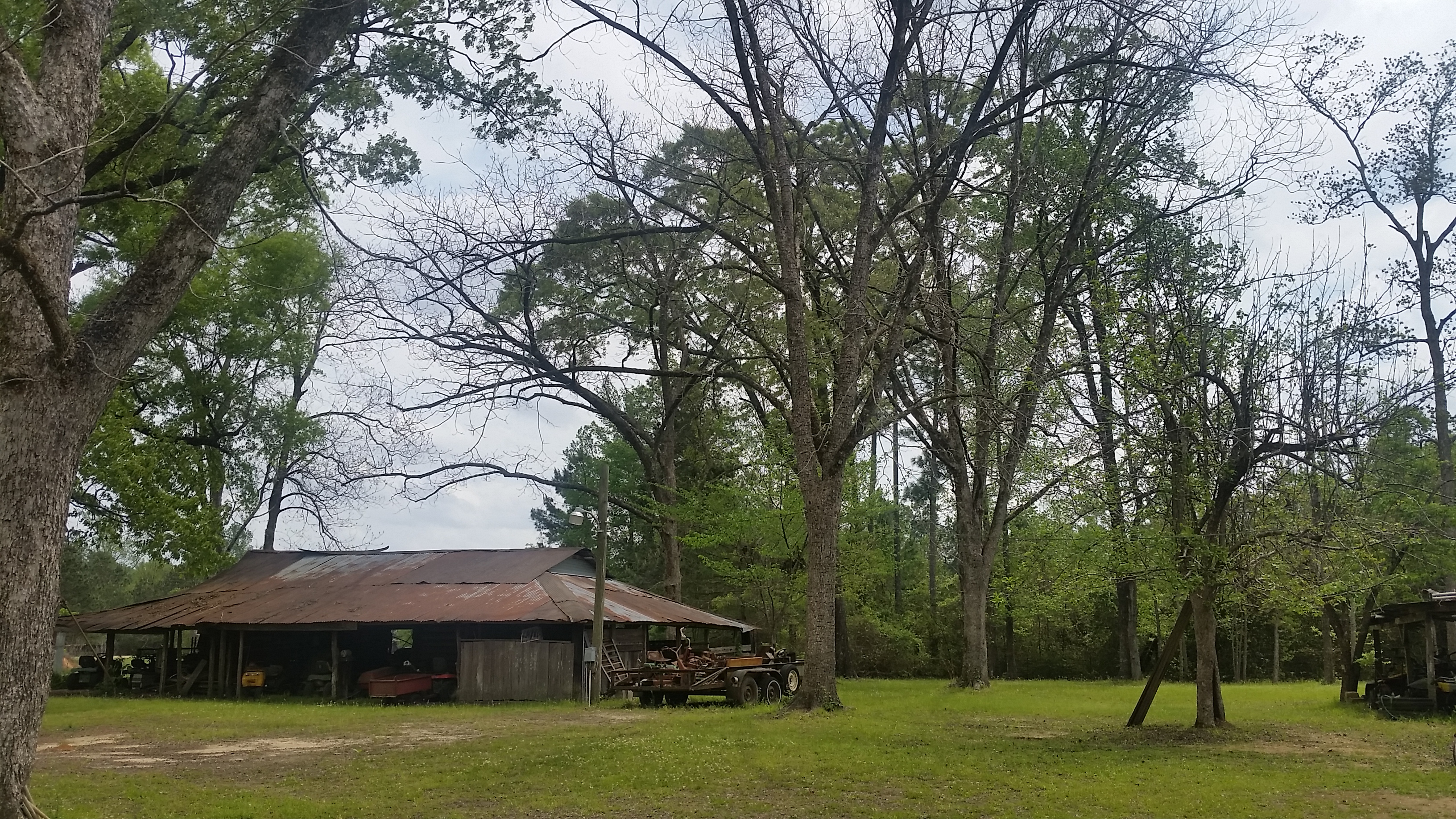
Out Exploring! #nature #photography
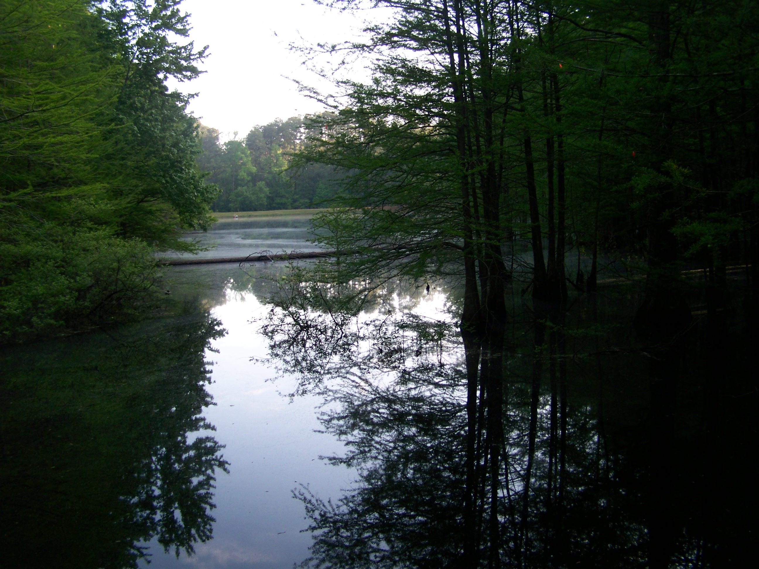
Heaven in Louisiana
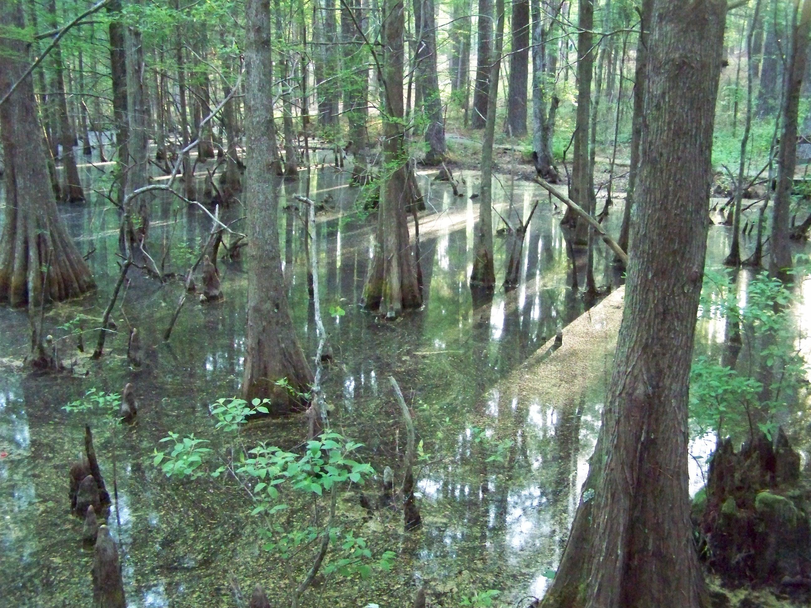
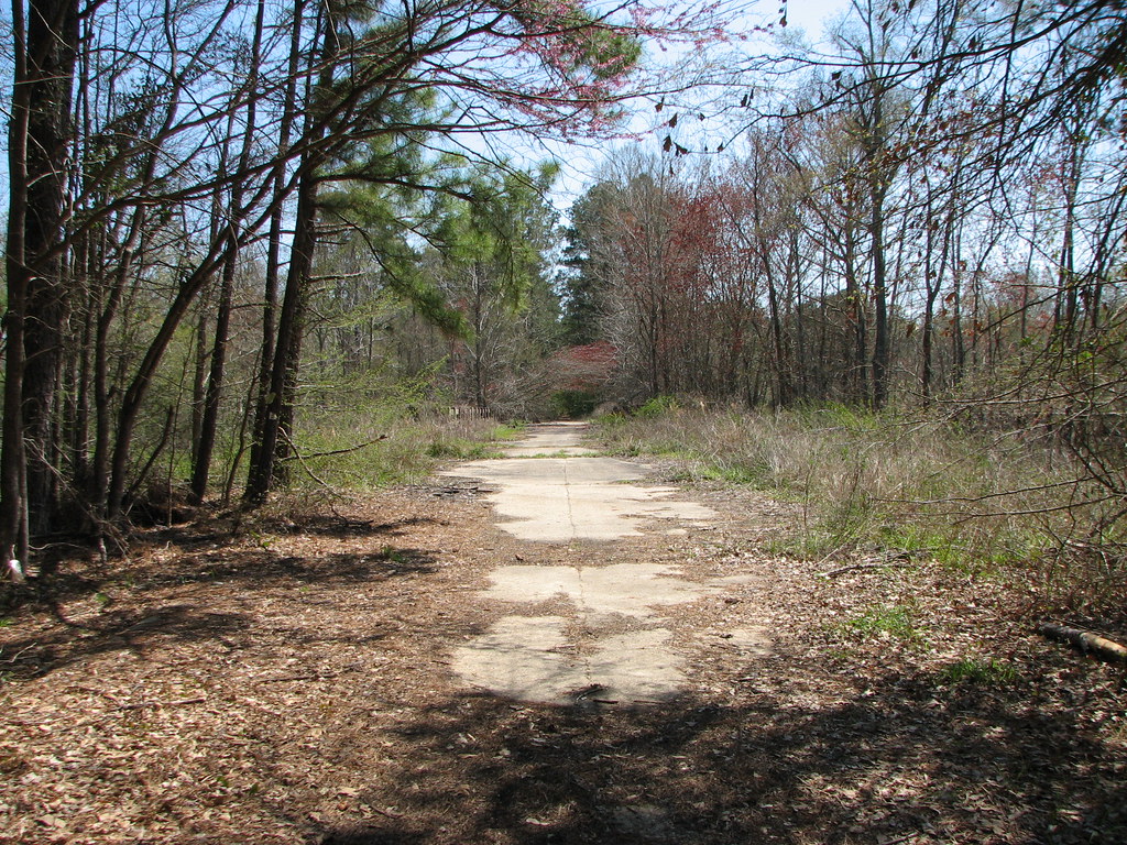
Emery Trail- Kisatchie National Forest- Grant Parish LA
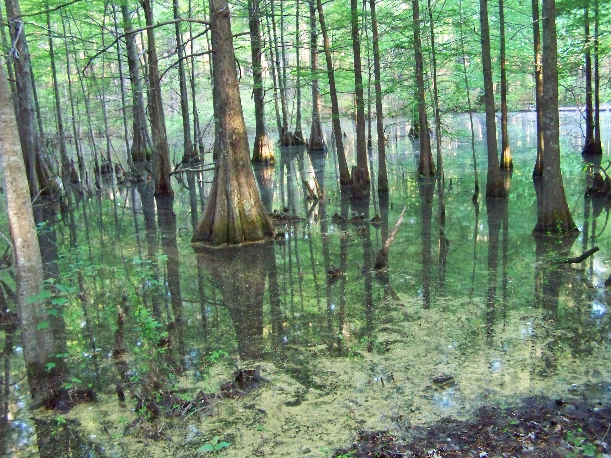
Emery Trail- Kisatchie National Forest- Grant Parish LA (2)
Emery Trail- Kisatchie National Forest- Grant Parish LA (5)
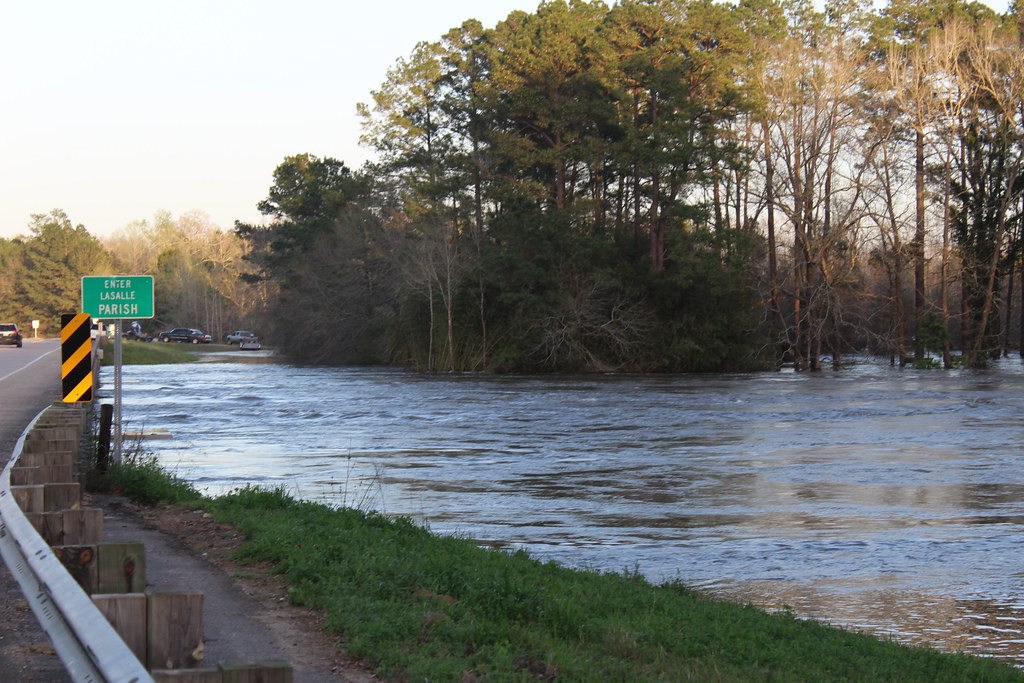
Little River at Hiway 8
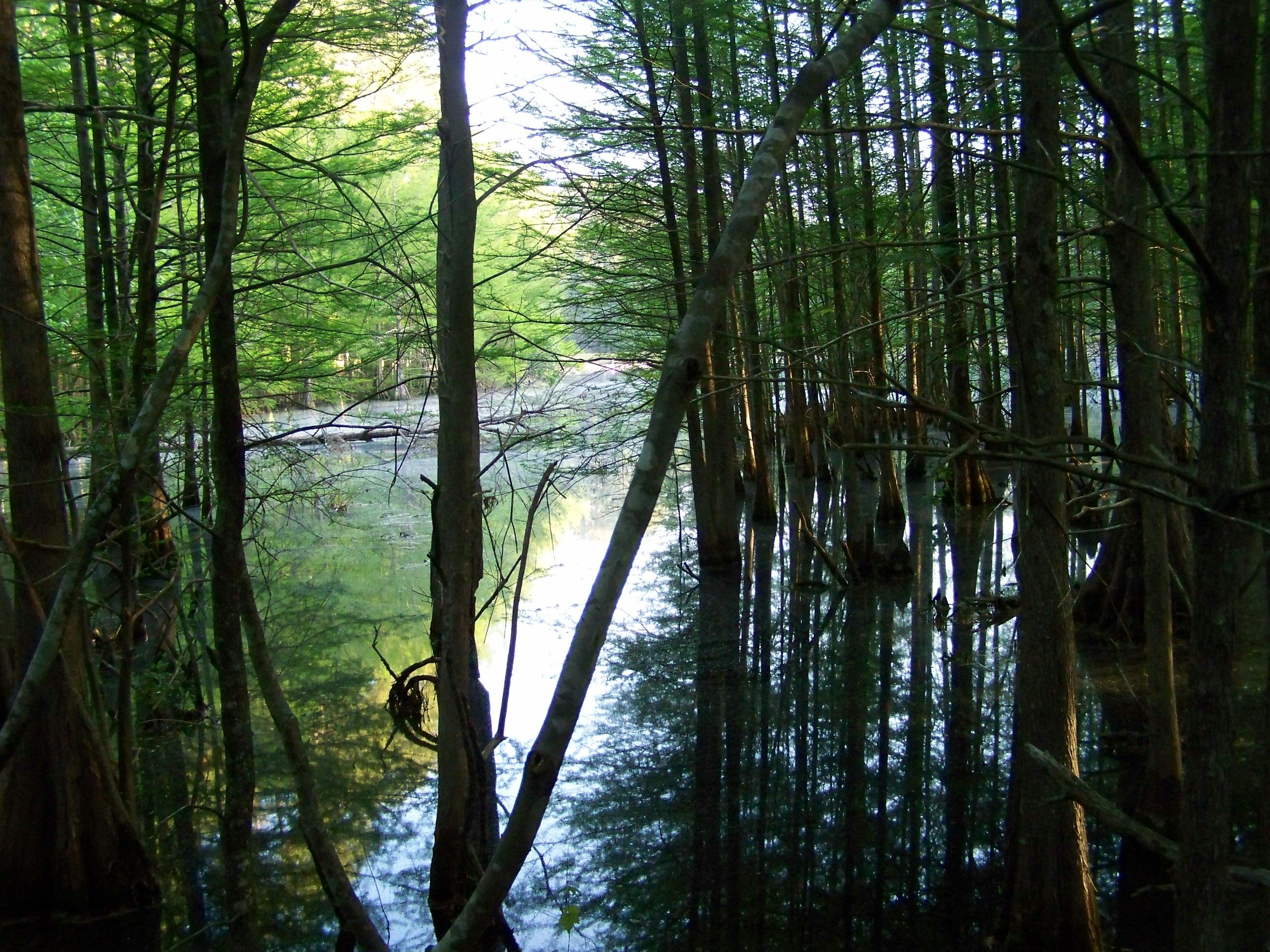
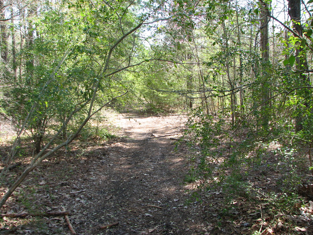
Kisatchie National Forest
Kisatchie National Forest
Kisatchie National Forest
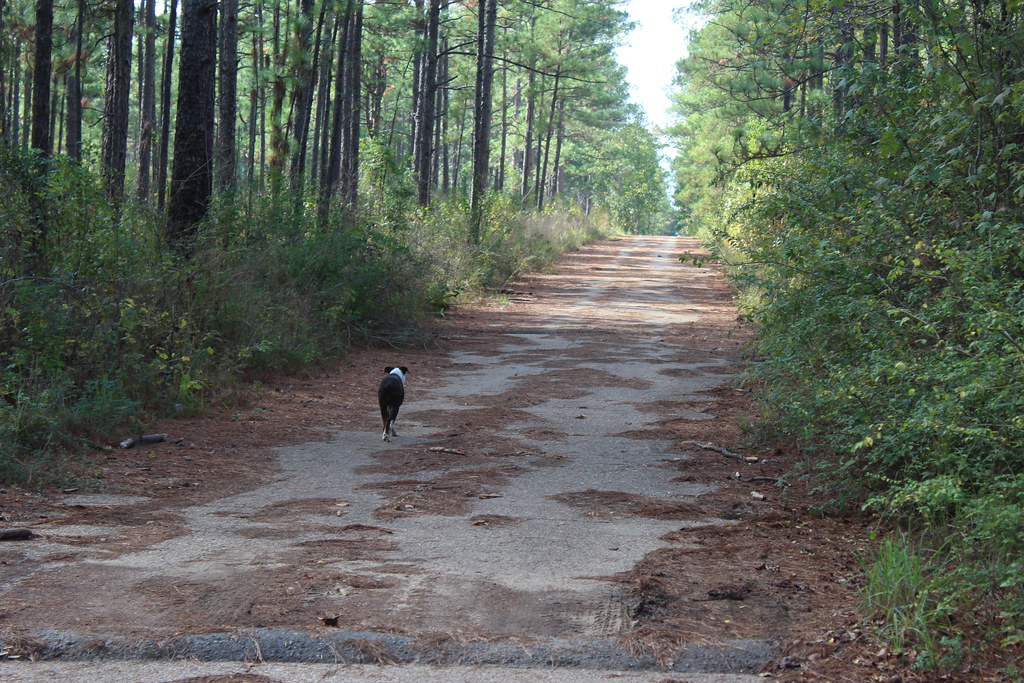
Kisatchie National Forest
Fishville LA.
Fishville July 2015 with Sue, Steve, Sabastian, Dominic, Christy, P, Gil and Mike.
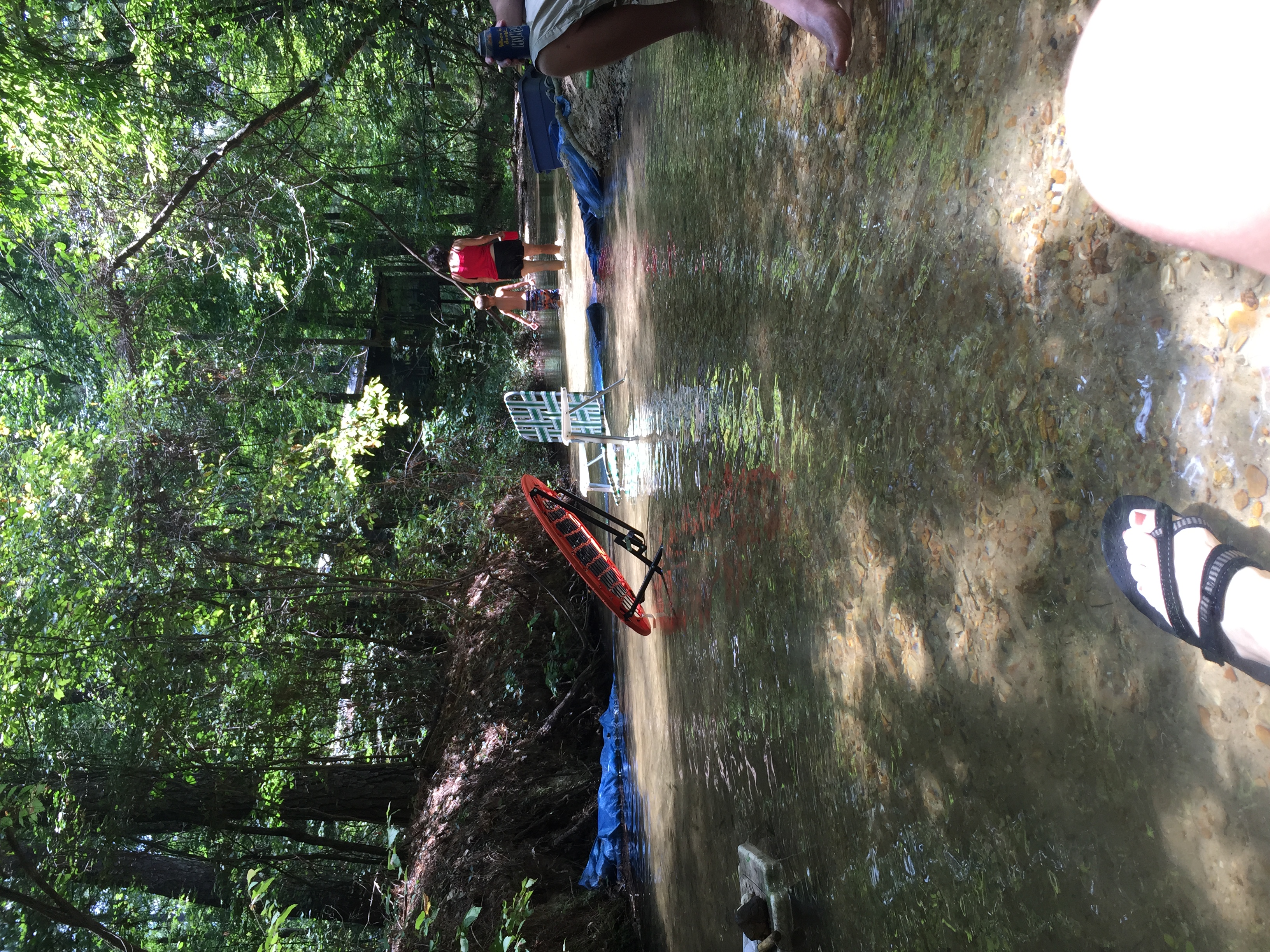
Fishville July 2015 with Sue, Steve, Sabastian, Dominic, Christy, P, Gil and Mike.
Emery Trail- Kisatchie National Forest- Grant Parish LA (3)
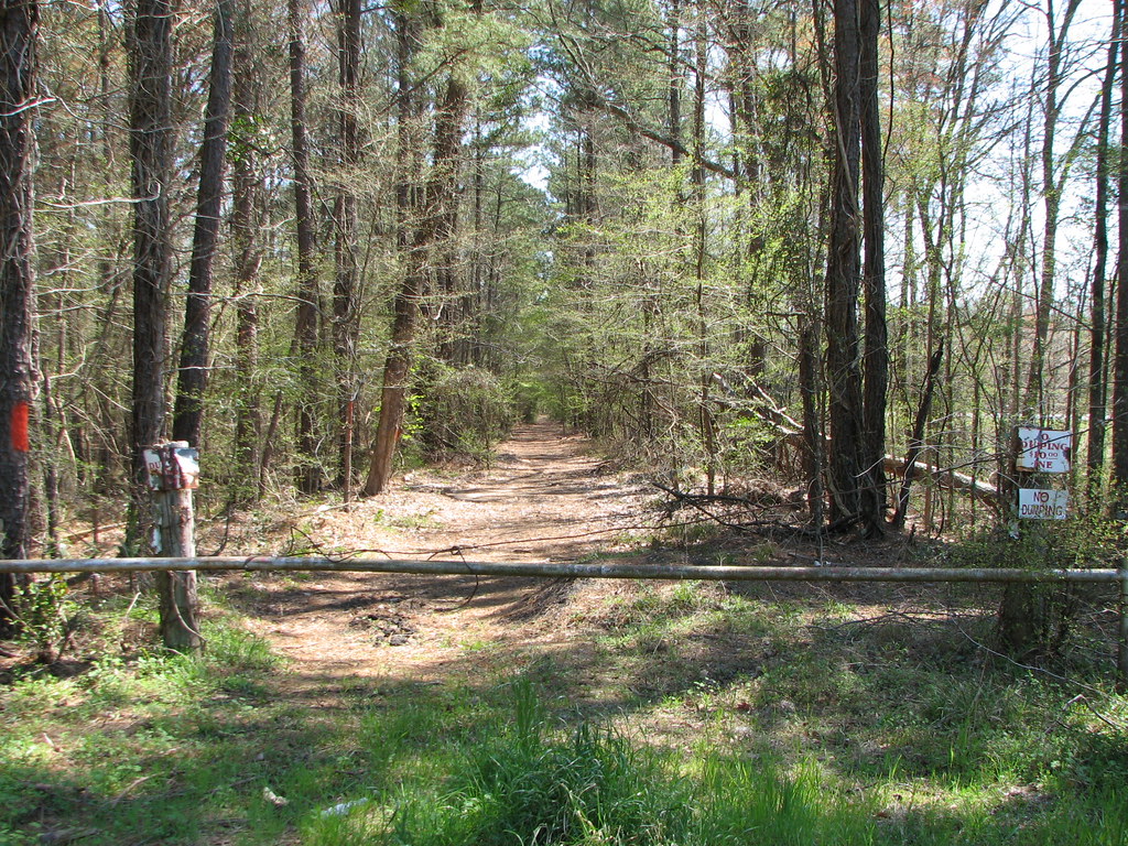
Abandoned 71
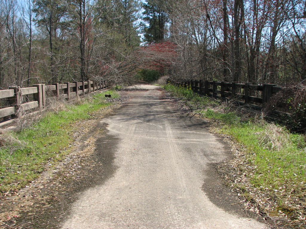
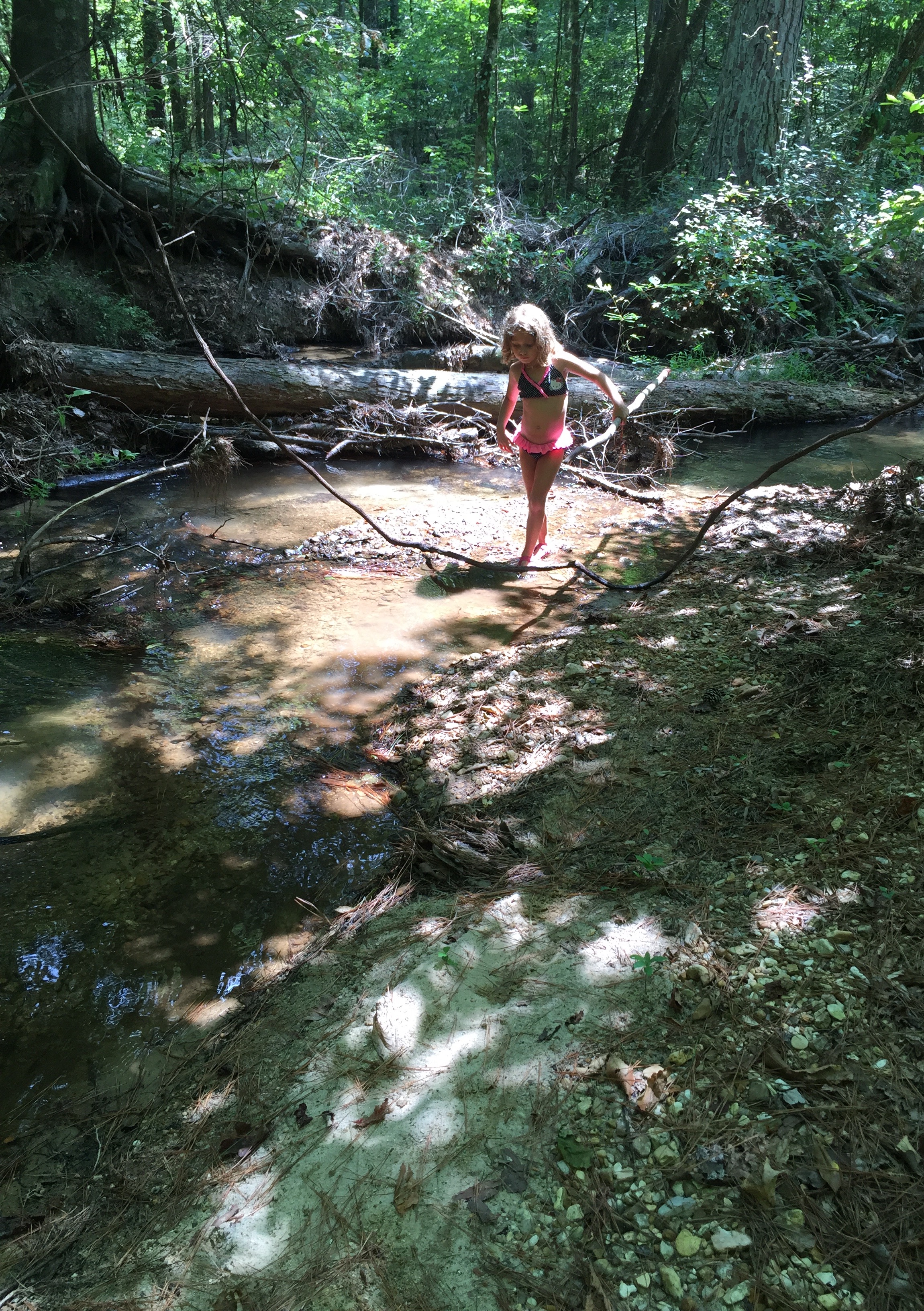
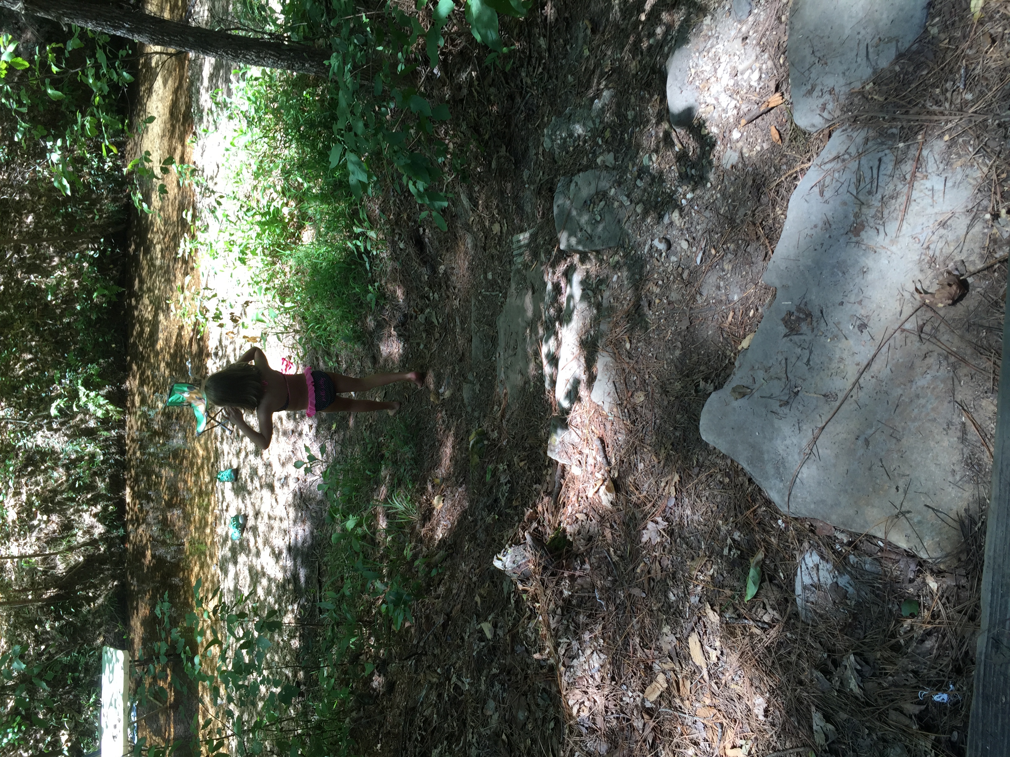
Hudson Creek-Mid Deck
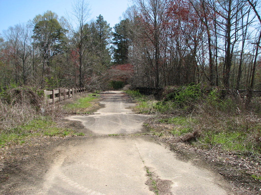
Hudson Creek-North Approach
Hudson Creek
Lost in the Woods
Topographic Map of Pollock, LA, USA
Find elevation by address:

Places near Pollock, LA, USA:
LA-, Pollock, LA, USA
Hardwater Lake Rd, Pollock, LA, USA
2358 La-8
7, LA, USA
LA-8, Bentley, LA, USA
Bentley
Airbase Rd, Dry Prong, LA, USA
821 Rock Hill Rd
821 Rock Hill Rd
5, LA, USA
Monroe Hwy, Ball, LA, USA
17782 Us-167
125 Lemons Ln
A
LA-, Pollock, LA, USA
LA-8, Dry Prong, LA, USA
Grove St, Dry Prong, LA, USA
Dry Prong
322 Pinehill Rd
Tioga
Recent Searches:
- Elevation of Elwyn Dr, Roanoke Rapids, NC, USA
- Elevation of Congressional Dr, Stevensville, MD, USA
- Elevation of Bellview Rd, McLean, VA, USA
- Elevation of Stage Island Rd, Chatham, MA, USA
- Elevation of Shibuya Scramble Crossing, 21 Udagawacho, Shibuya City, Tokyo -, Japan
- Elevation of Jadagoniai, Kaunas District Municipality, Lithuania
- Elevation of Pagonija rock, Kranto 7-oji g. 8"N, Kaunas, Lithuania
- Elevation of Co Rd 87, Jamestown, CO, USA
- Elevation of Tenjo, Cundinamarca, Colombia
- Elevation of Côte-des-Neiges, Montreal, QC H4A 3J6, Canada