Elevation of Bentley, LA, USA
Location: United States > Louisiana > Grant Parish > >
Longitude: -92.493896
Latitude: 31.5151585
Elevation: 64m / 210feet
Barometric Pressure: 101KPa
Elevation Map:
Satellite Map:
Related Photos:
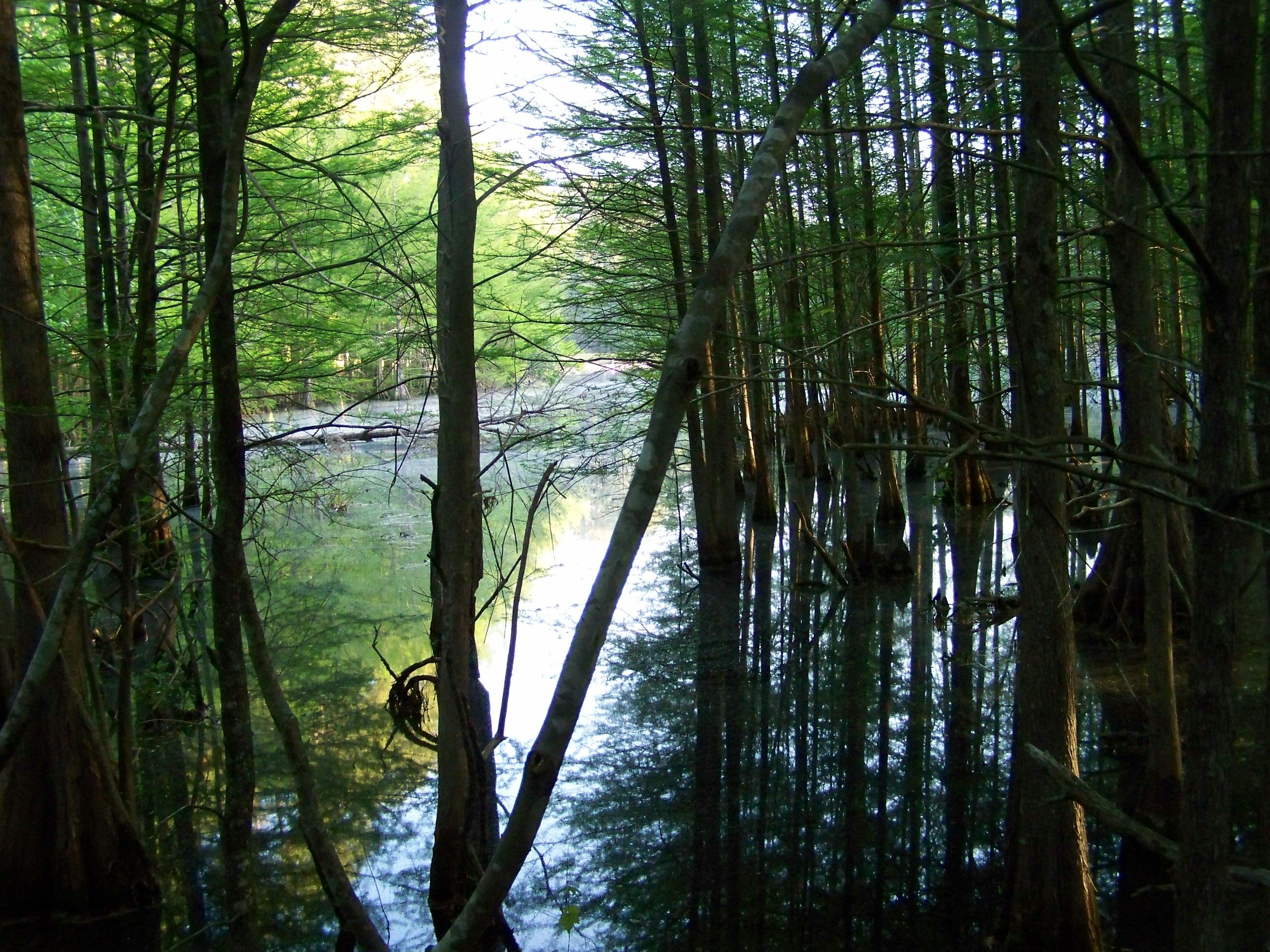
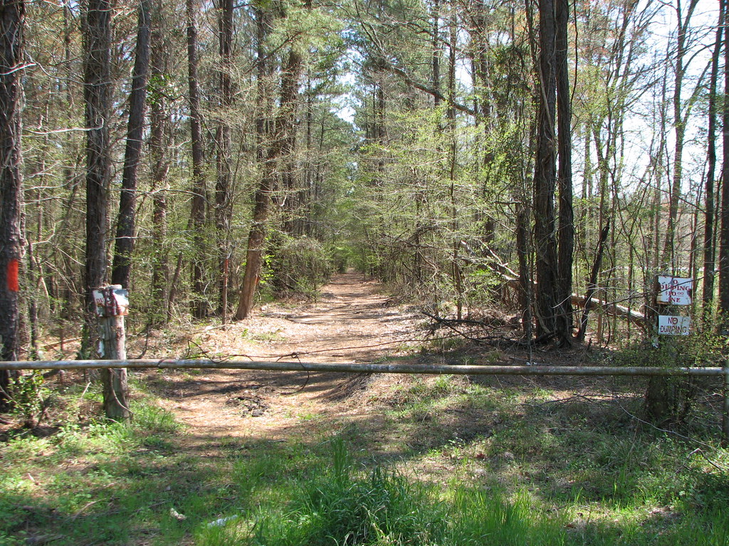
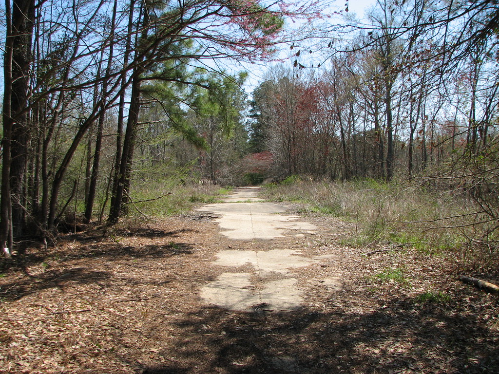
Emery Trail- Kisatchie National Forest- Grant Parish LA (3)
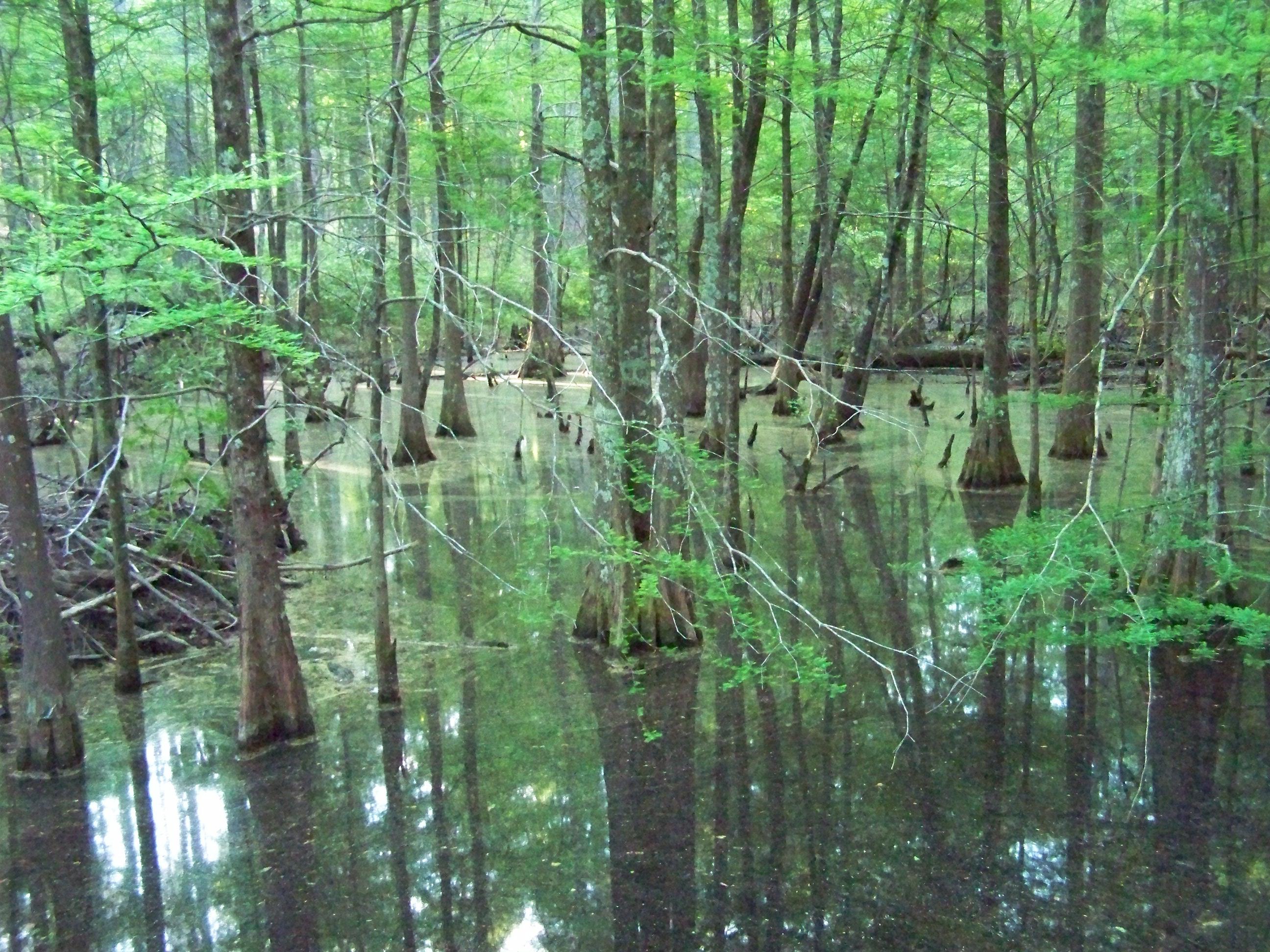
Emery Trail- Kisatchie National Forest- Grant Parish LA (1)
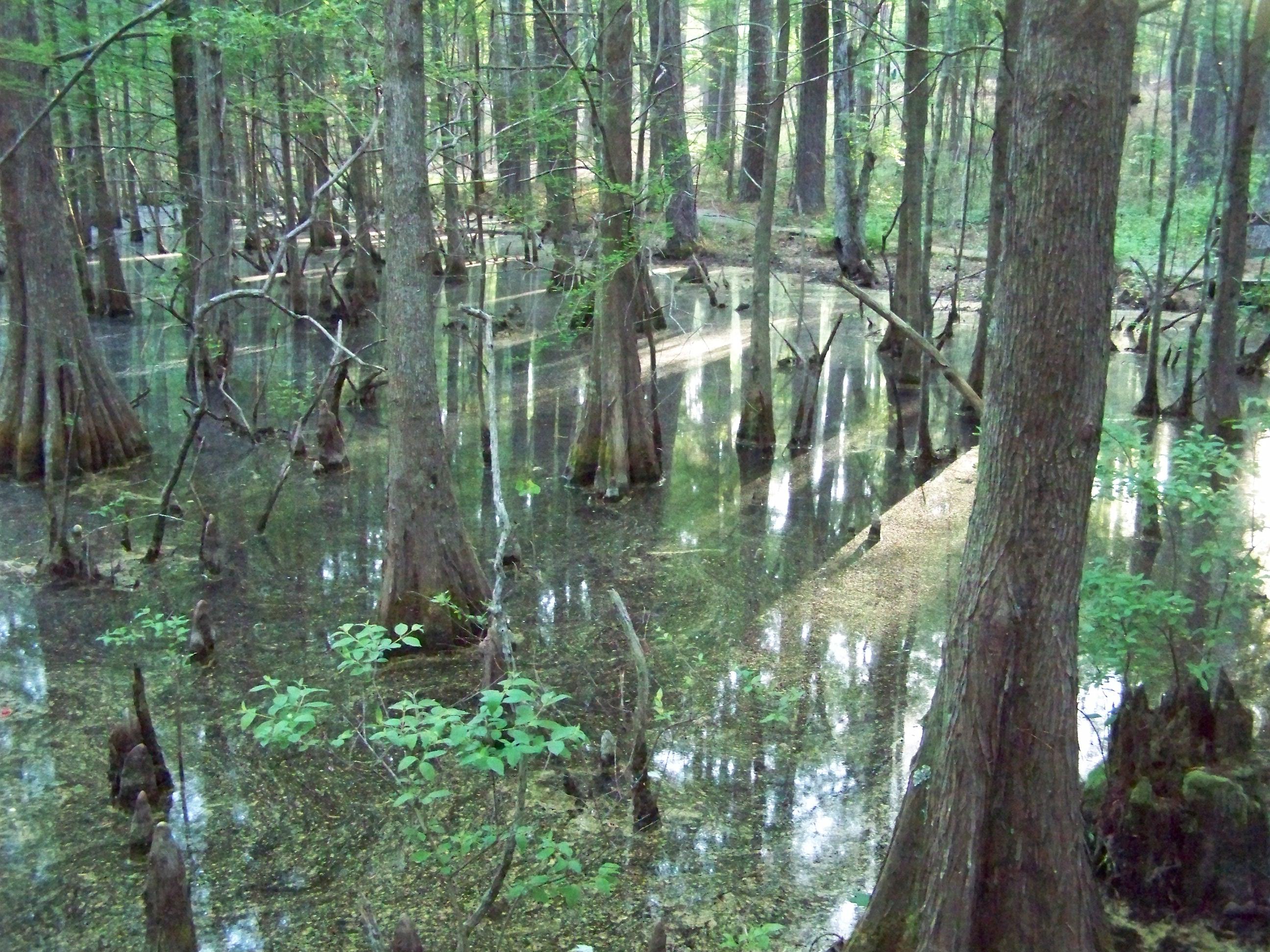
Emery Trail- Kisatchie National Forest- Grant Parish LA (2)

Out Exploring! #nature #photography
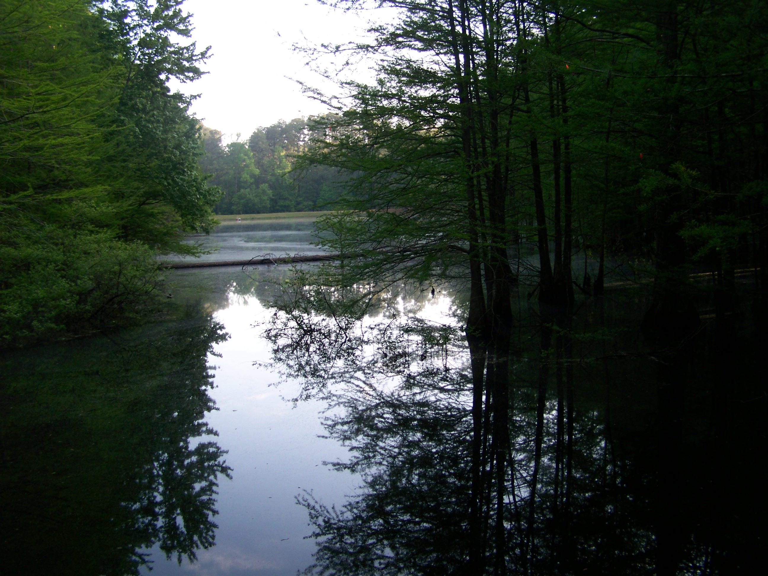
Emery Trail- Kisatchie National Forest- Grant Parish LA
Emery Trail- Kisatchie National Forest- Grant Parish LA (5)
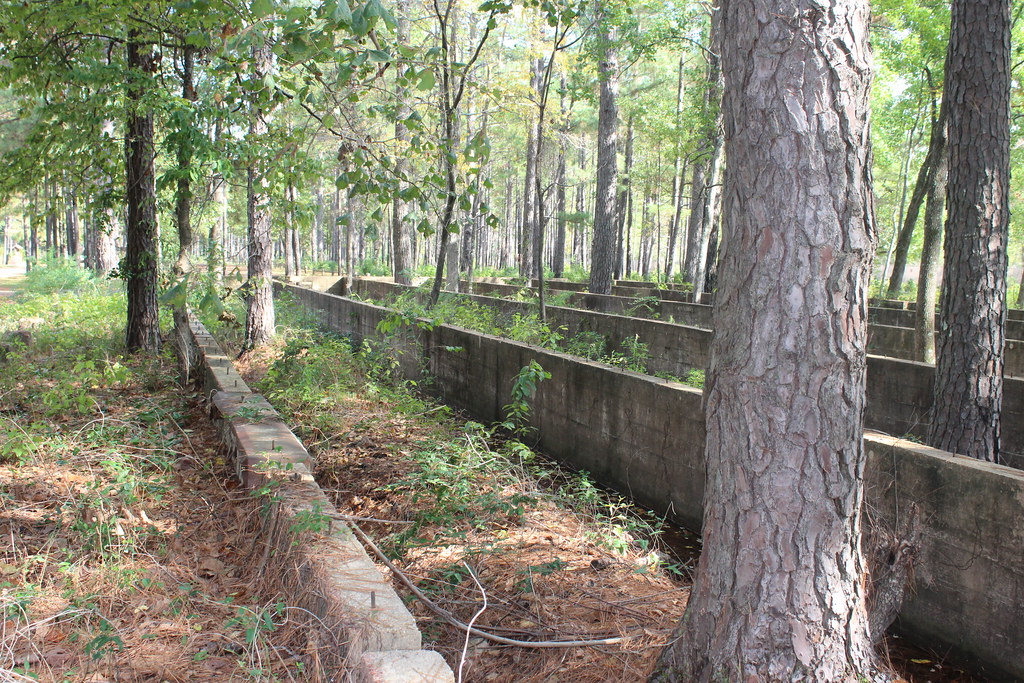
Abandoned 71
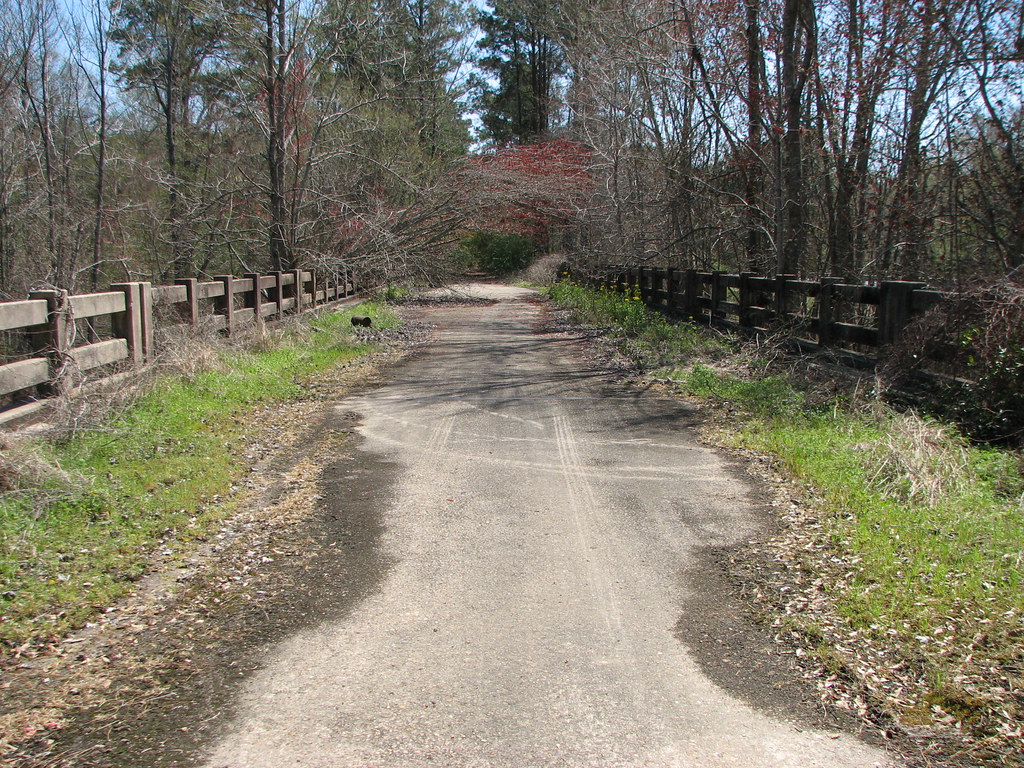
Hudson Creek-Mid Deck
Hudson Creek
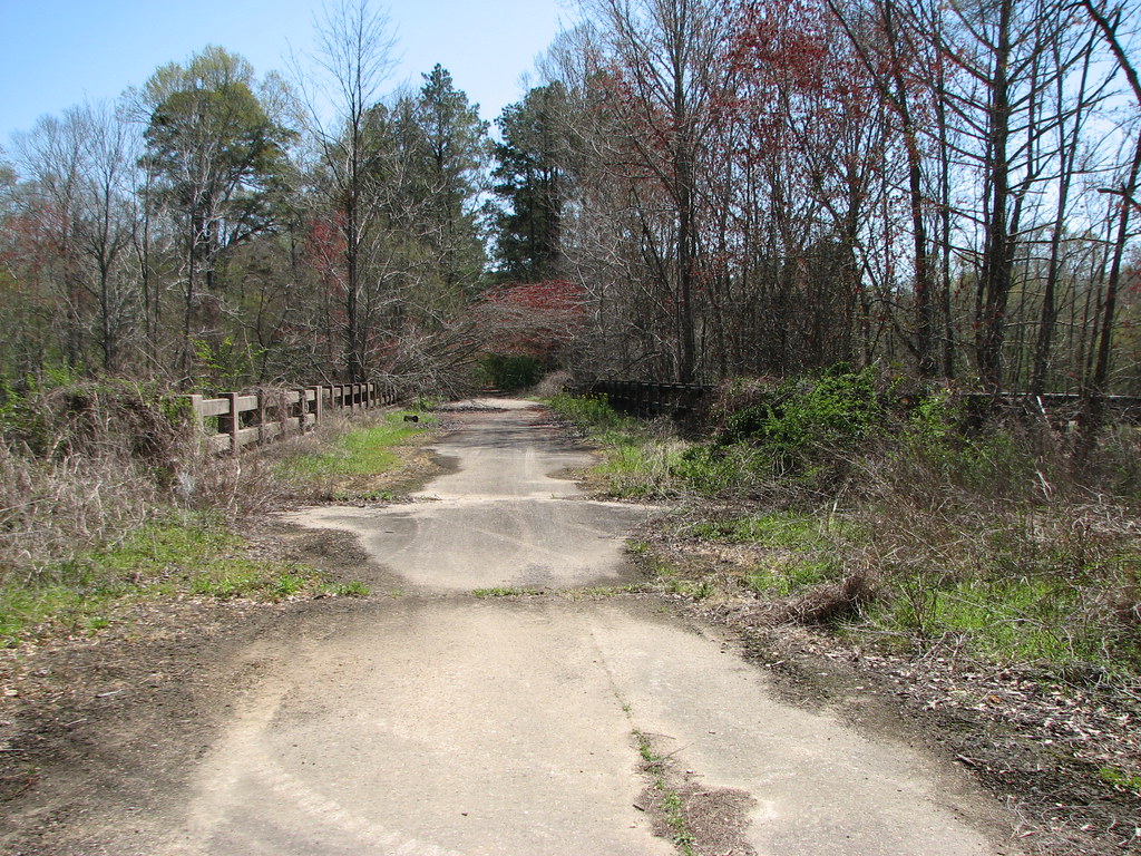
Hudson Creek-North Approach
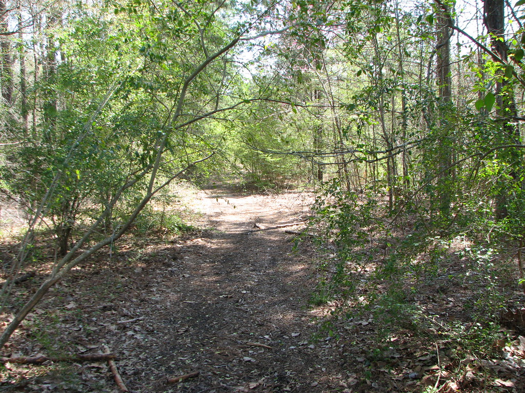
Lost in the Woods
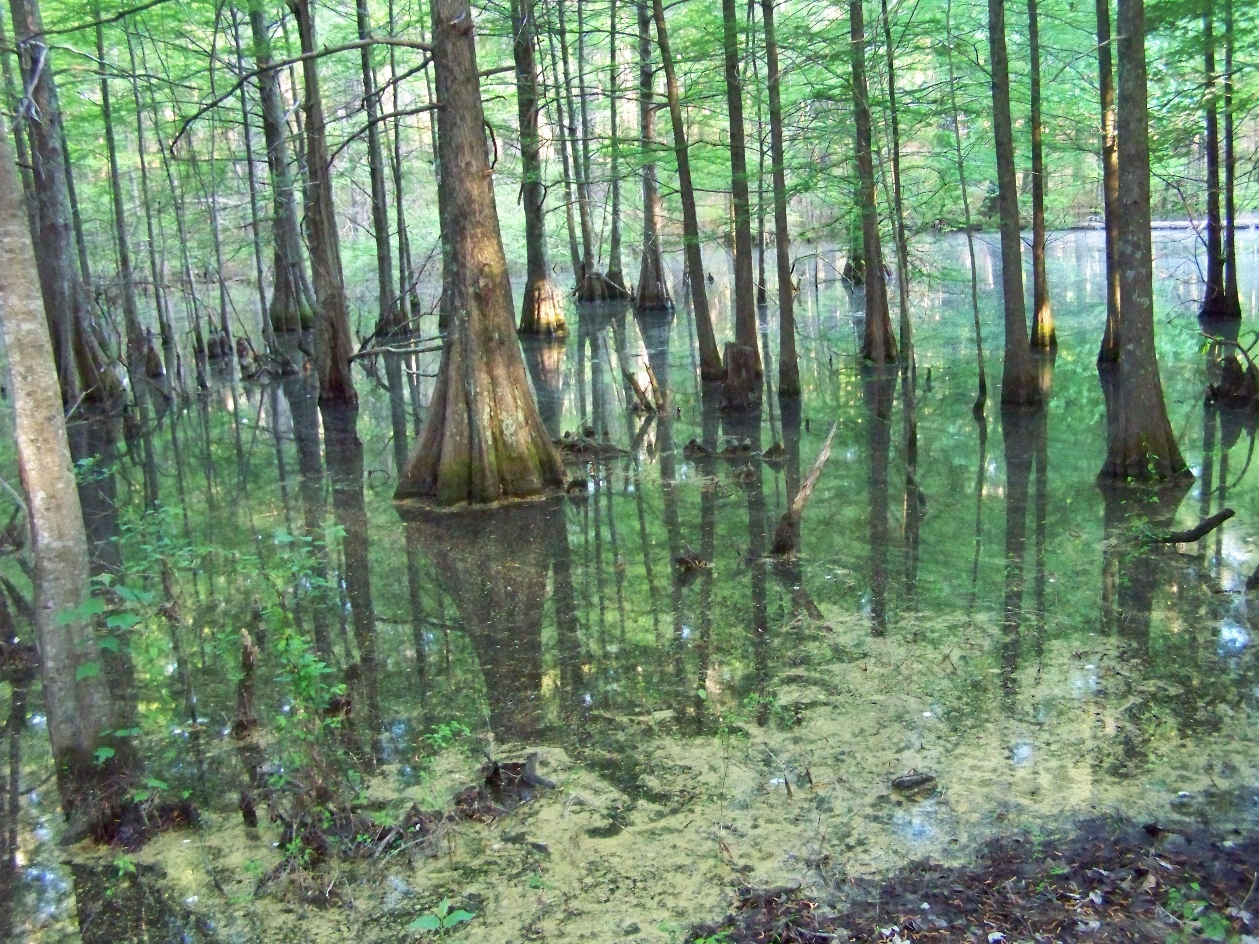
Kisatchie National Forest
Kisatchie National Forest
Kisatchie National Forest
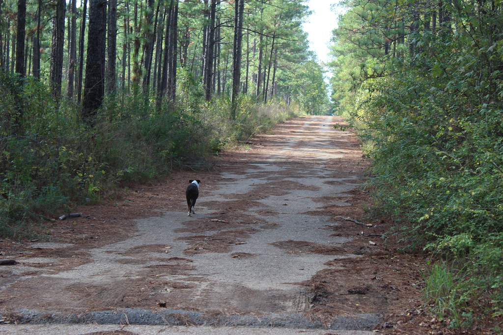
Kisatchie National Forest
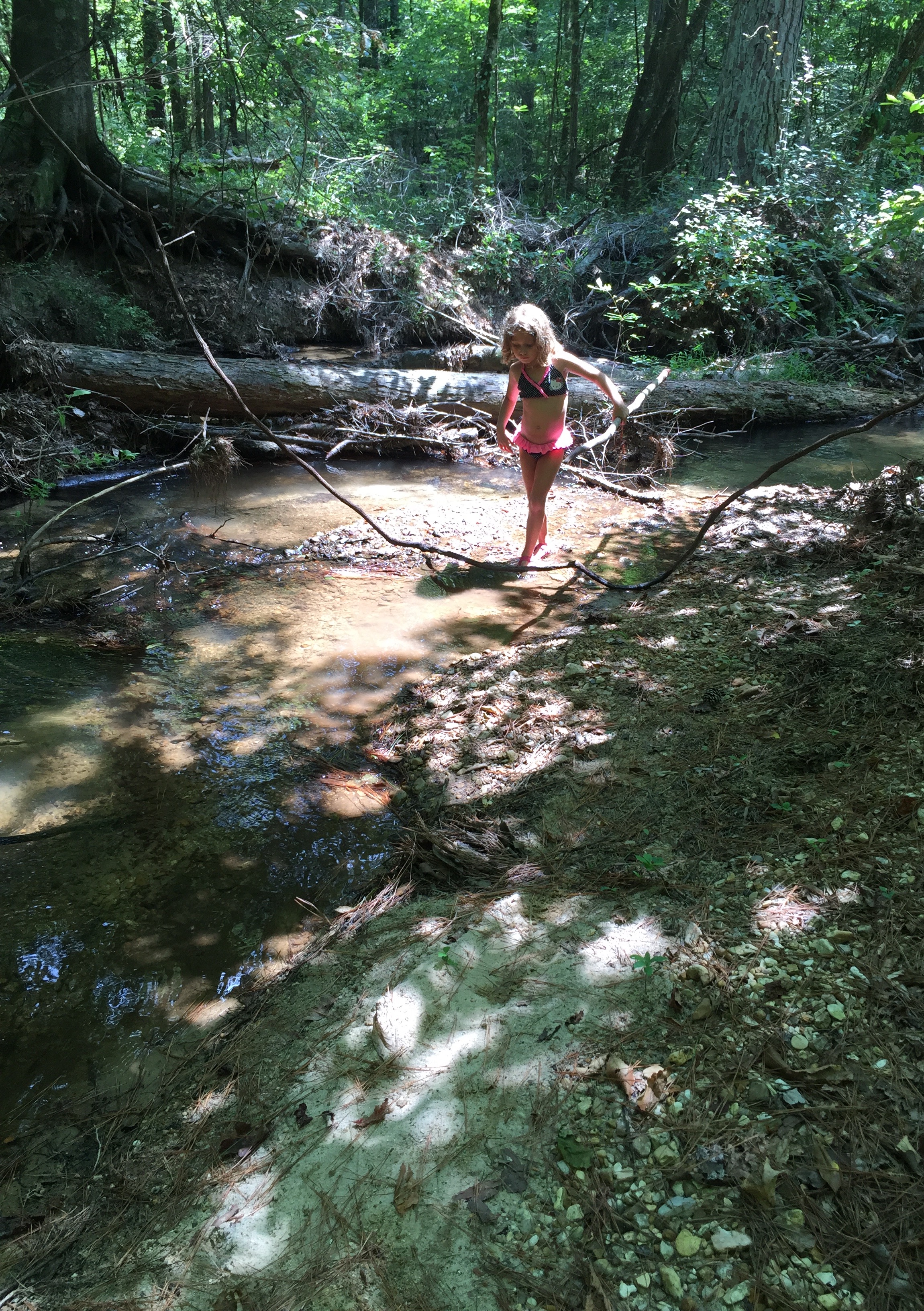
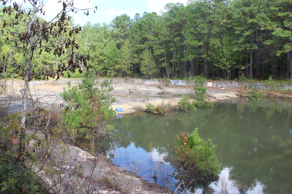
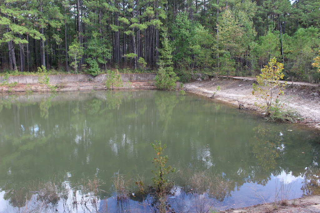
Fishville LA.
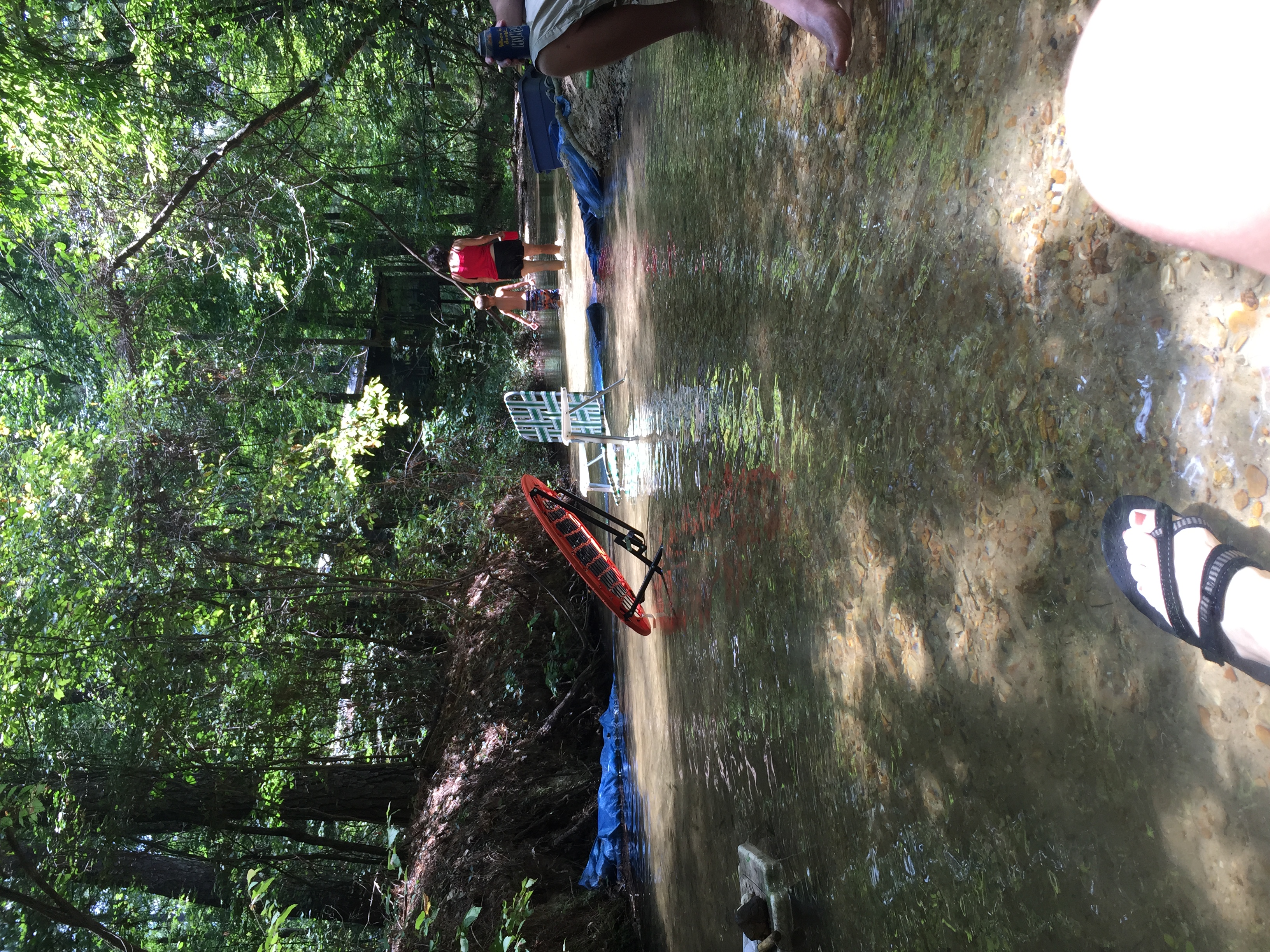
Fishville July 2015 with Sue, Steve, Sabastian, Dominic, Christy, P, Gil and Mike.
Topographic Map of Bentley, LA, USA
Find elevation by address:

Places near Bentley, LA, USA:
LA-8, Bentley, LA, USA
821 Rock Hill Rd
821 Rock Hill Rd
5, LA, USA
Airbase Rd, Dry Prong, LA, USA
LA-8, Dry Prong, LA, USA
17782 Us-167
1326 James Branch Rd
Grove St, Dry Prong, LA, USA
Dry Prong
2, LA, USA
8th St, Colfax, LA, USA
4418 Us-71
4418 Us-71
4422 Us-71
4424 Us-71
1144 Pin Oak Dr
1142 Pin Oak Dr
1142 Pin Oak Dr
1142 Pin Oak Dr
Recent Searches:
- Elevation of Kreuzburger Weg 13, Düsseldorf, Germany
- Elevation of Gateway Blvd SE, Canton, OH, USA
- Elevation of East W.T. Harris Boulevard, E W.T. Harris Blvd, Charlotte, NC, USA
- Elevation of West Sugar Creek, Charlotte, NC, USA
- Elevation of Wayland, NY, USA
- Elevation of Steadfast Ct, Daphne, AL, USA
- Elevation of Lagasgasan, X+CQH, Tiaong, Quezon, Philippines
- Elevation of Rojo Ct, Atascadero, CA, USA
- Elevation of Flagstaff Drive, Flagstaff Dr, North Carolina, USA
- Elevation of Avery Ln, Lakeland, FL, USA