Elevation of Polley Ave, Hodgenville, KY, USA
Location: United States > Kentucky > Larue County > Hodgenville >
Longitude: -85.736985
Latitude: 37.5649305
Elevation: 228m / 748feet
Barometric Pressure: 99KPa
Elevation Map:
Satellite Map:
Related Photos:
Abraham Lincoln's Birthplace

CSXT K538, Sonora, KY
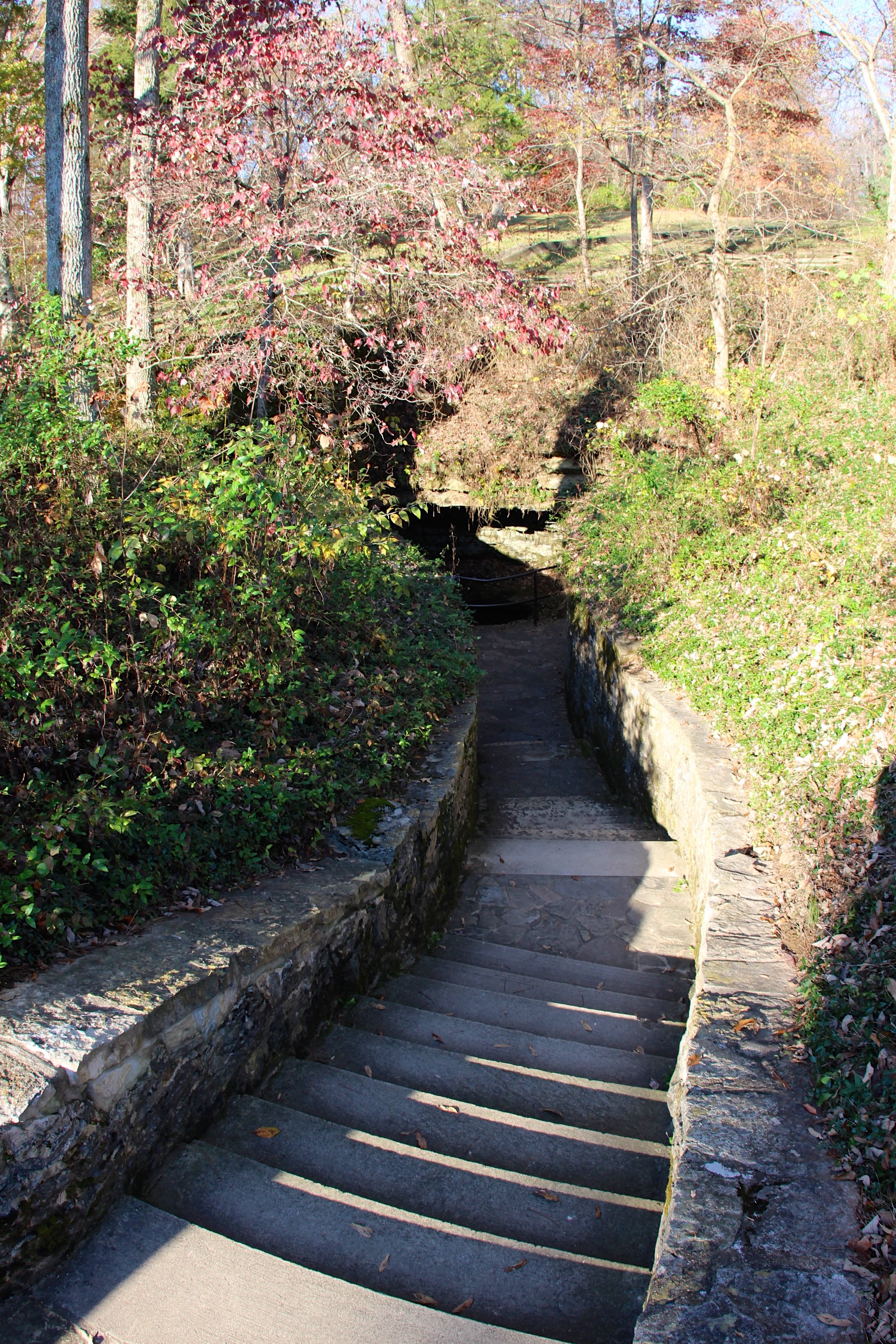
Sinking Spring
Do This in Remembrance of Me
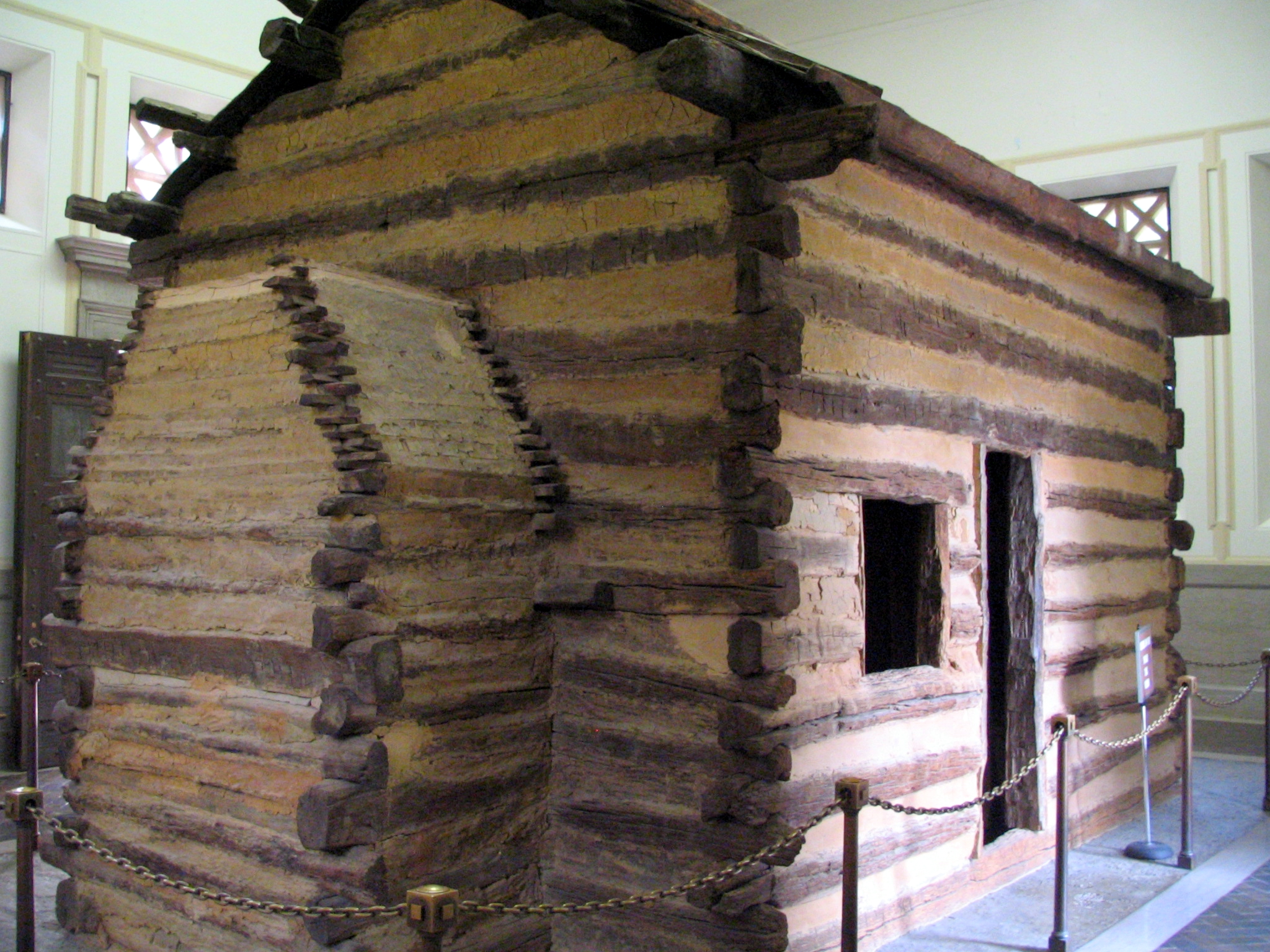
The Inside View
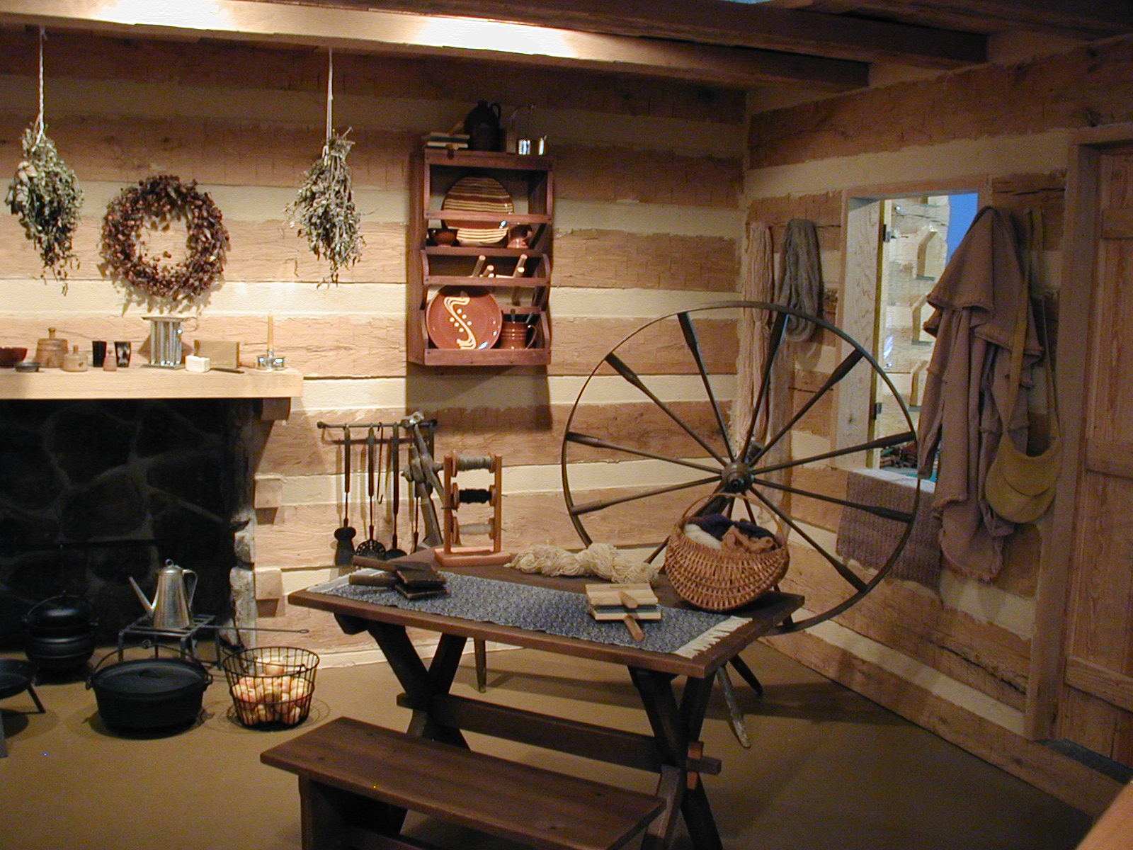
My favorite view of the museum's rustic cabin interior
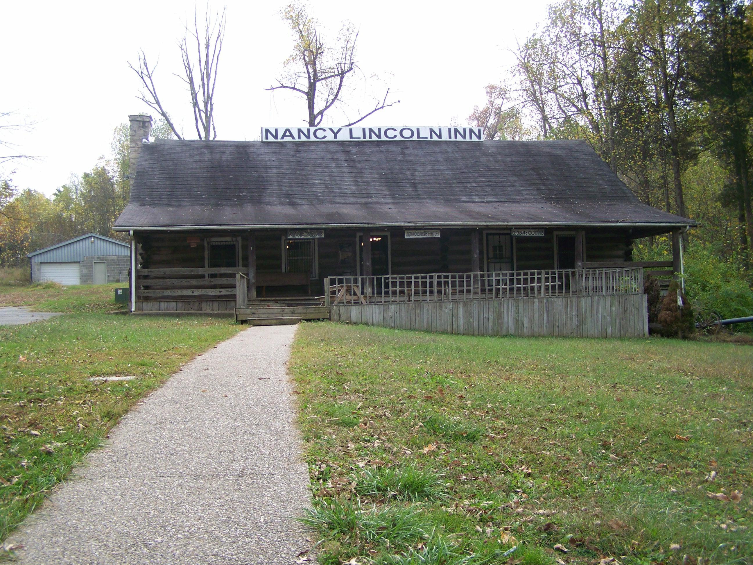
Nancy Lincoln Inn- Hodgenville KY (2)
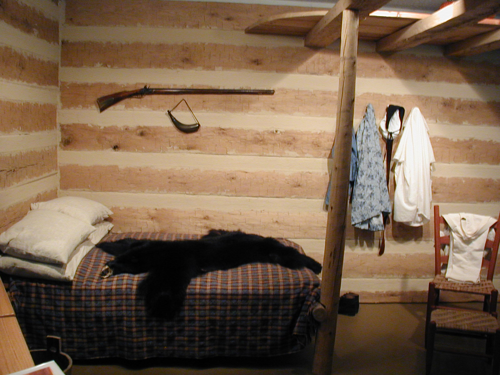
Another view of the museum's 19th century cabin interior
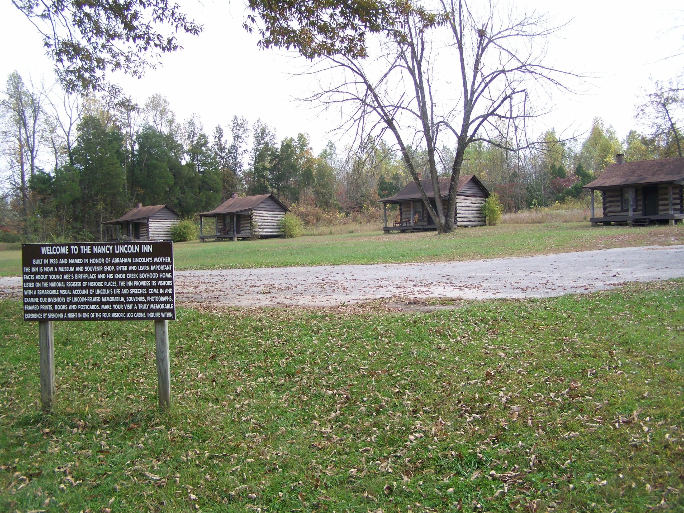
Nancy Lincoln Inn- Hodgenville KY (3)
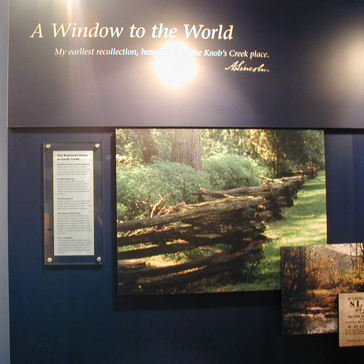
A Window to the World
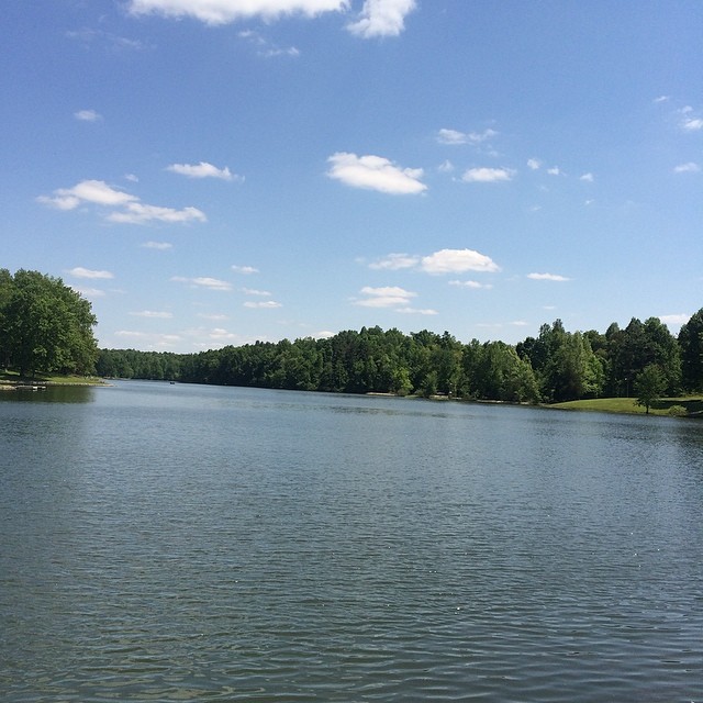
View of lake today!

CSXT Q534, Glendale, KY

Foggy Morning in Kentucky
Abe Lincoln Boyhood Home
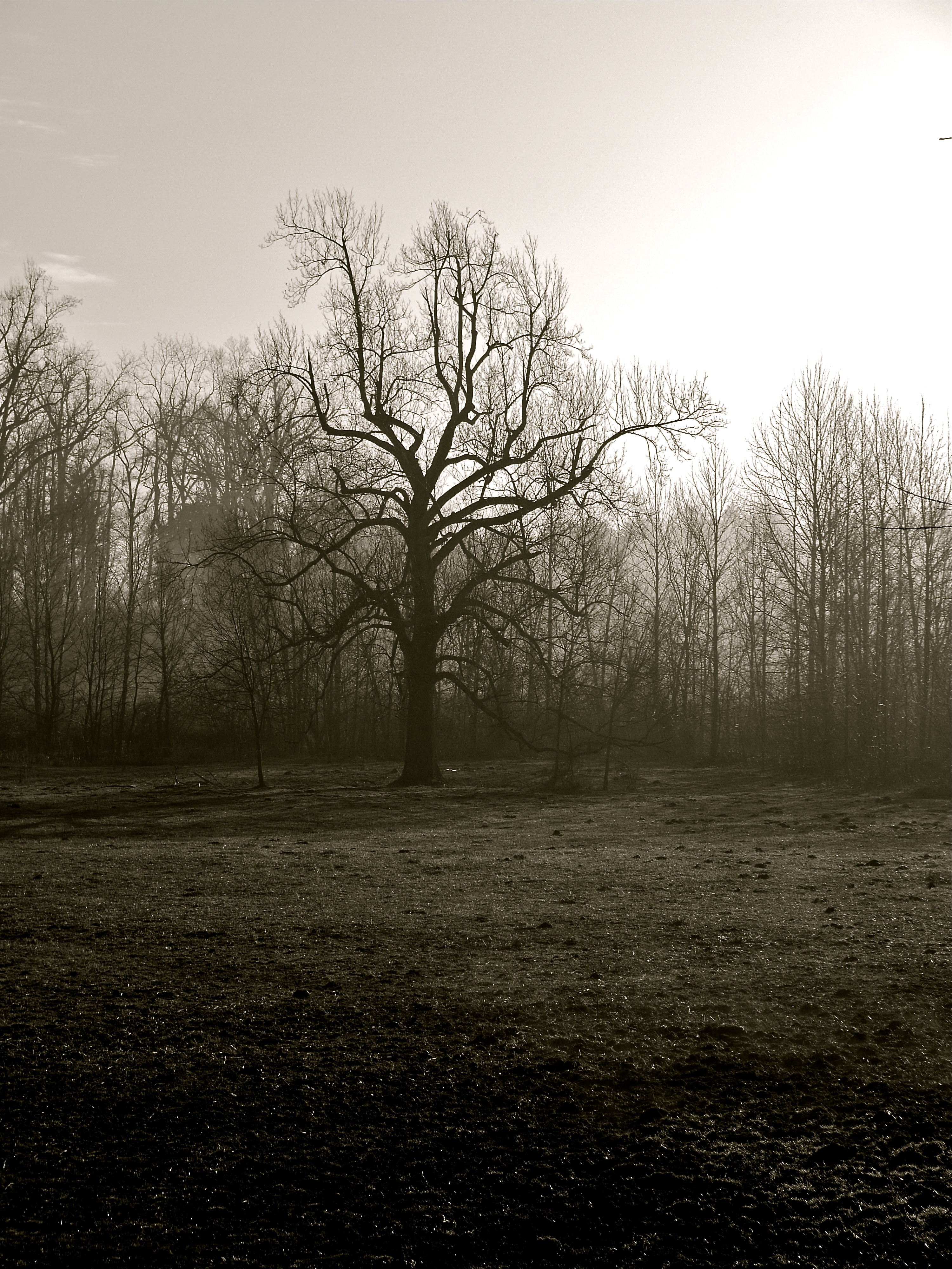
Foggy Morning in Kentucky

Ginseng, KY Farm

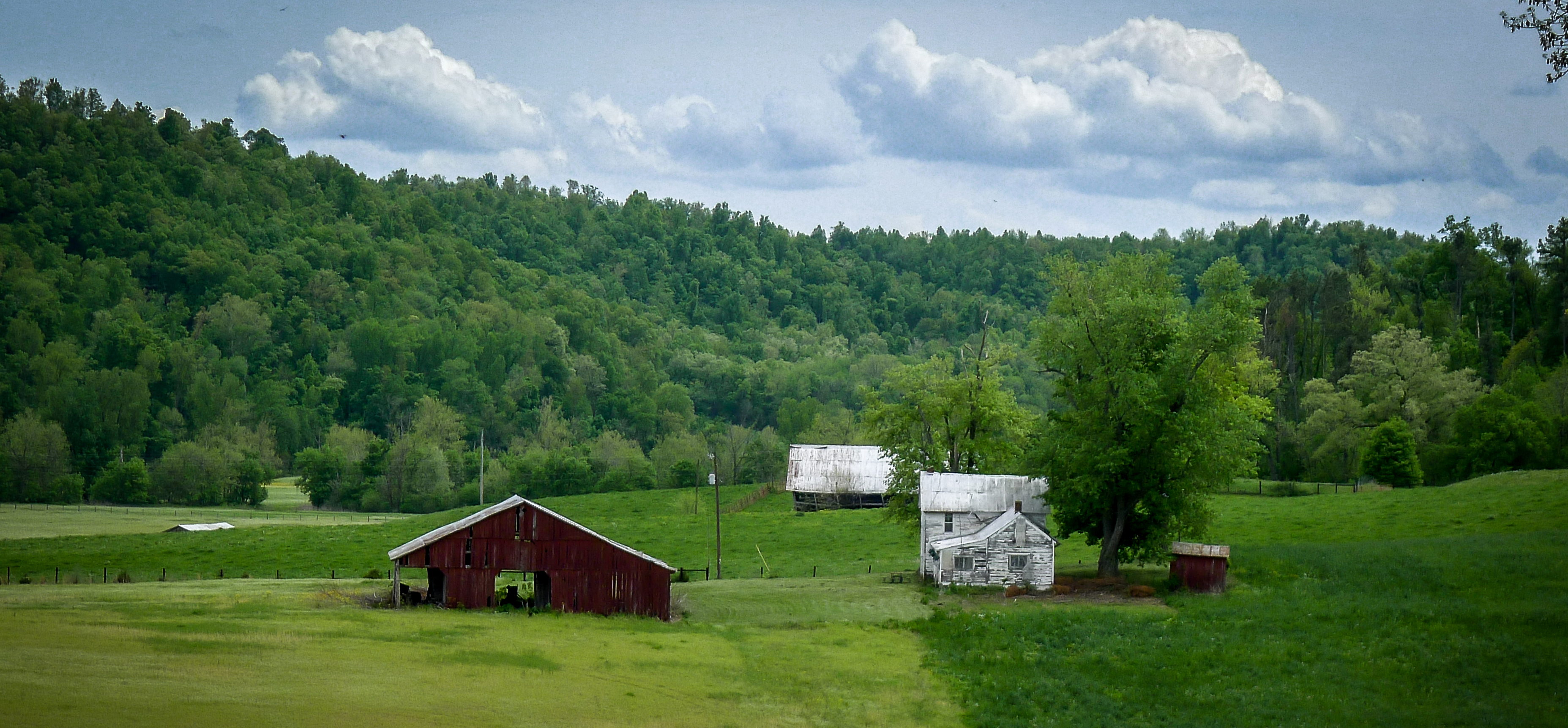
LaRue County, KY Farm House

Tobacco Barn, LaRue County, KY

Old Farmstead, LaRue County, KY

Noon, Kentucky
Tobacco Barn, LaRue County, KY

Glendale KY
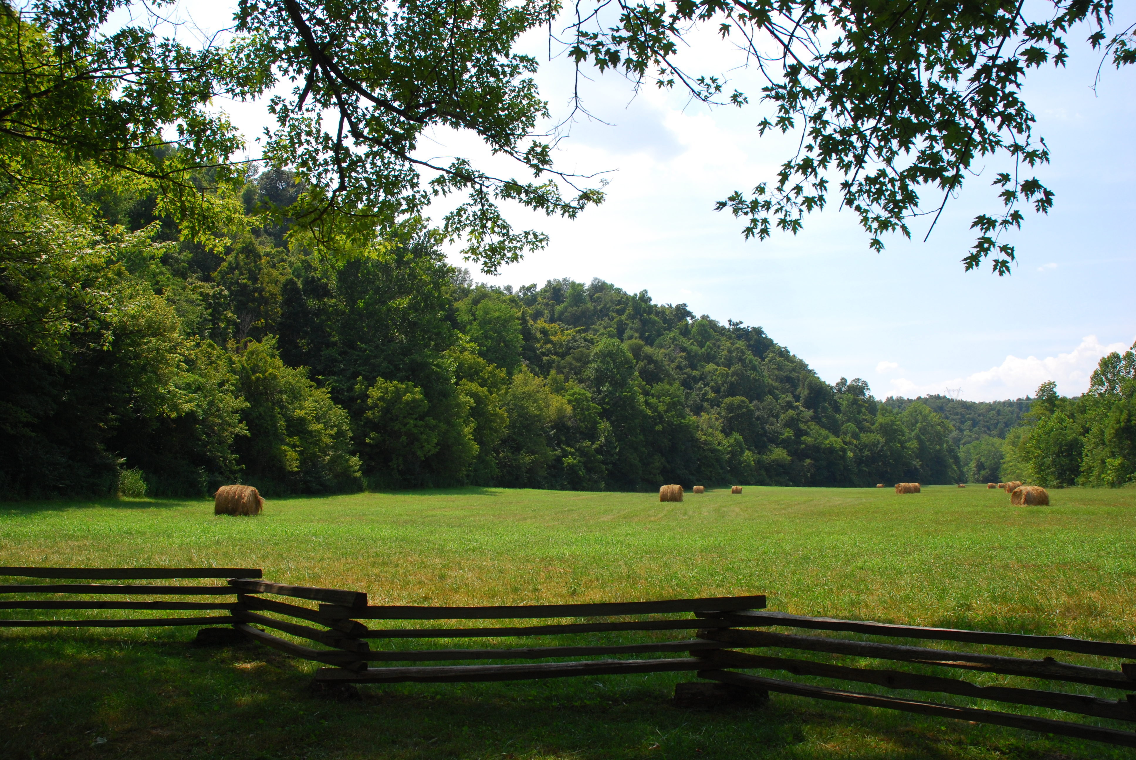
Abraham Lincoln Birthplace National Historical Park - Knob Creek Farm - Knob Creek

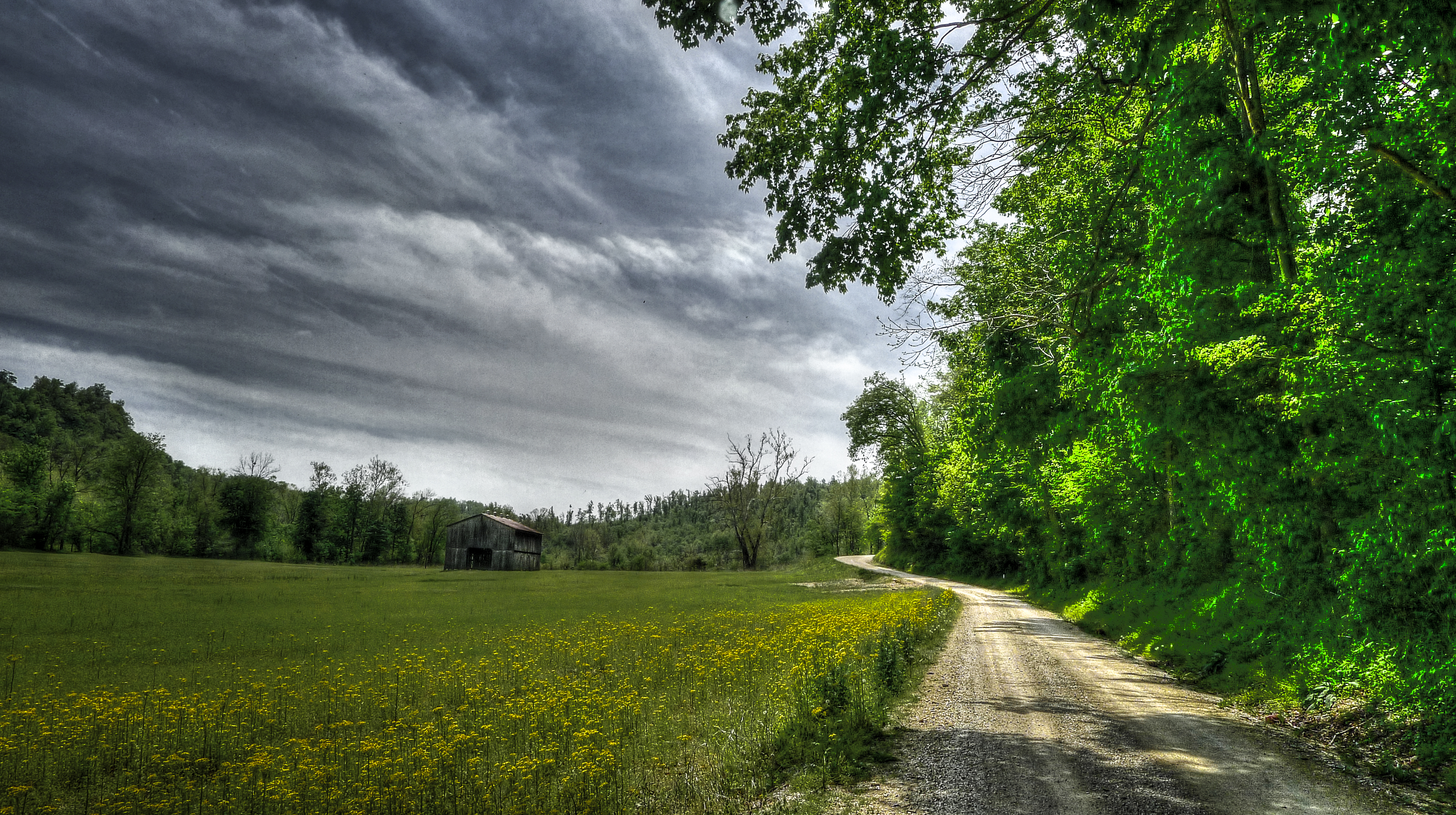
Country Road

LaRue County Farm_BW

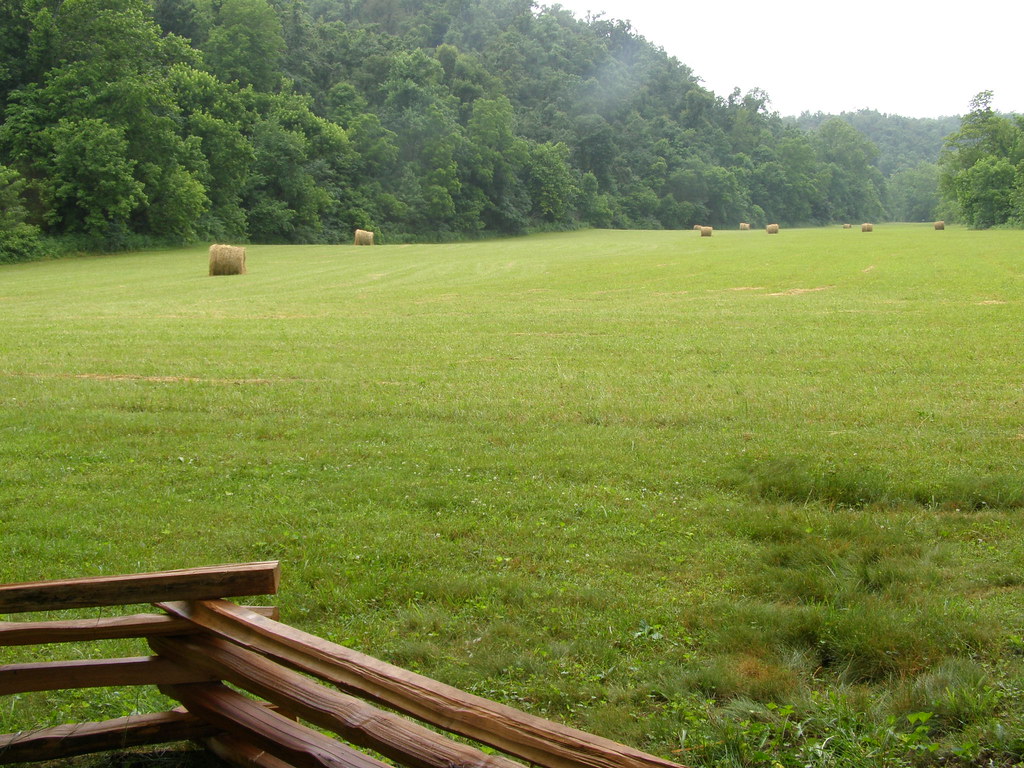
Round Bales, LaRue County, KY
Ginseng, KY Farm
Lincoln Birthplace NHP, Ky

GUTEN MORGEN.
Lincoln Birthplace NHP, Ky
Topographic Map of Polley Ave, Hodgenville, KY, USA
Find elevation by address:

Places near Polley Ave, Hodgenville, KY, USA:
Hodgenville
215 Phillips Ln
White City
Larue County
Buffalo
Greensburg Rd, Buffalo, KY, USA
7845 New Jackson Hwy
Dan Dunn Rd, Hodgenville, KY, USA
Magnolia
Mt Sherman Rd, Mt Sherman, KY, USA
Bardstown Rd, Hodgenville, KY, USA
New Haven, KY, USA
New Haven
974 Youngers Creek Rd
855 New Hope Rd
1111 Center
Cecil Ridge Road
552 S Otter Creek Rd
N Jackson Hwy, Munfordville, KY, USA
Old Boston Rd, Boston, KY, USA
Recent Searches:
- Elevation of Bella Terra Blvd, Estero, FL, USA
- Elevation of Estates Loop, Priest River, ID, USA
- Elevation of Woodland Oak Pl, Thousand Oaks, CA, USA
- Elevation of Brownsdale Rd, Renfrew, PA, USA
- Elevation of Corcoran Ln, Suffolk, VA, USA
- Elevation of Mamala II, Sariaya, Quezon, Philippines
- Elevation of Sarangdanda, Nepal
- Elevation of 7 Waterfall Way, Tomball, TX, USA
- Elevation of SW 57th Ave, Portland, OR, USA
- Elevation of Crocker Dr, Vacaville, CA, USA