Elevation of S Otter Creek Rd, Buffalo, KY, USA
Location: United States > Kentucky > Larue County > Buffalo >
Longitude: -85.553252
Latitude: 37.46544
Elevation: 283m / 928feet
Barometric Pressure: 98KPa
Elevation Map:
Satellite Map:
Related Photos:

Kentucky Sunrise

Marion County panorama
Mt. Gilboa School

Larue County Farm

In the valley of knobs and fog

Ginseng, KY Farm

Country Road

How pink was my pre-dawn valley (Explored)

Woods, fog and farms

Kentucky Sky

Dawn breaks in Central Kentucky

Country Road, LaRue County, KY

Tobacco Barn, LaRue County, KY

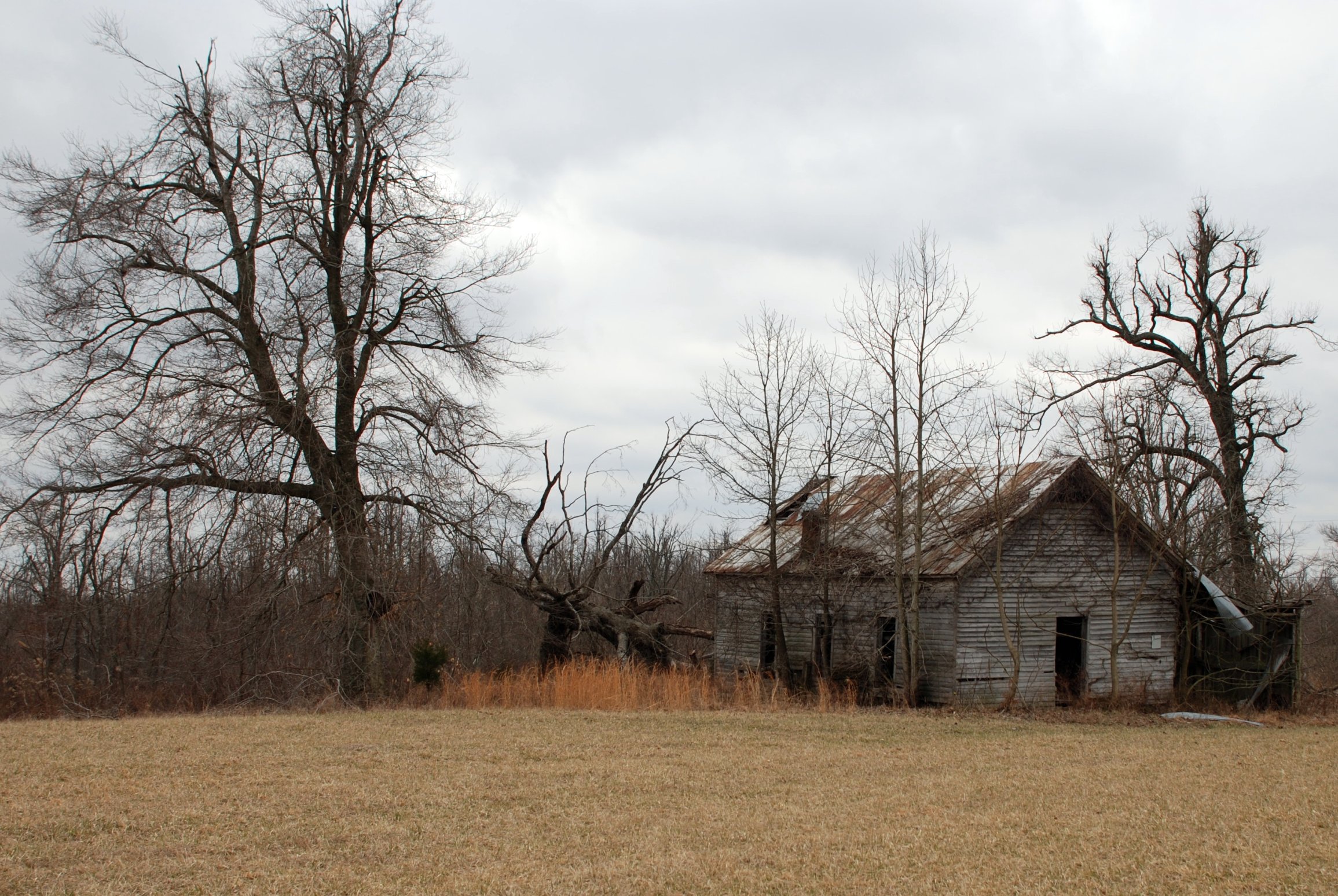
LaRue County, KY Farm House

Ginseng, KY Farm

LaRue County, KY Farm
Topographic Map of S Otter Creek Rd, Buffalo, KY, USA
Find elevation by address:

Places near S Otter Creek Rd, Buffalo, KY, USA:
2176 Coakley Rd
State Highway 2220
Cecil Ridge Road
Mt Sherman Rd, Mt Sherman, KY, USA
22 Summersville Rd
Summersville
Hudgins Hwy, Summersville, KY, USA
Buffalo
Greensburg Rd, Buffalo, KY, USA
437 Montgomery Mill Rd
Gabe Rd, Summersville, KY, USA
538 Gabe-henderson Rd
298 J T Riggs Rd
Bardstown Rd, Hodgenville, KY, USA
Larue County
1111 Center
7845 New Jackson Hwy
White City
855 New Hope Rd
Magnolia
Recent Searches:
- Elevation of Kambingan Sa Pansol Atbp., Purok 7 Pansol, Candaba, Pampanga, Philippines
- Elevation of Pinewood Dr, New Bern, NC, USA
- Elevation of Mountain View, CA, USA
- Elevation of Foligno, Province of Perugia, Italy
- Elevation of Blauwestad, Netherlands
- Elevation of Bella Terra Blvd, Estero, FL, USA
- Elevation of Estates Loop, Priest River, ID, USA
- Elevation of Woodland Oak Pl, Thousand Oaks, CA, USA
- Elevation of Brownsdale Rd, Renfrew, PA, USA
- Elevation of Corcoran Ln, Suffolk, VA, USA