Elevation of Poff Township, AR, USA
Location: United States > Arkansas > Cleburne County >
Longitude: -92.203993
Latitude: 35.6550598
Elevation: 339m / 1112feet
Barometric Pressure: 97KPa
Elevation Map:
Satellite Map:
Related Photos:
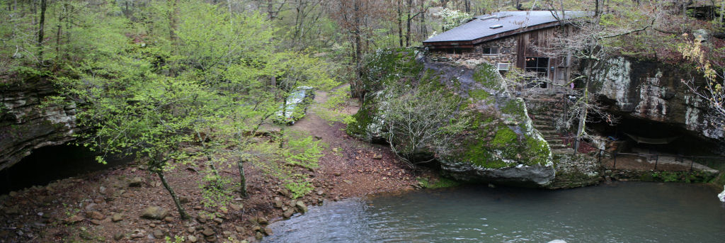
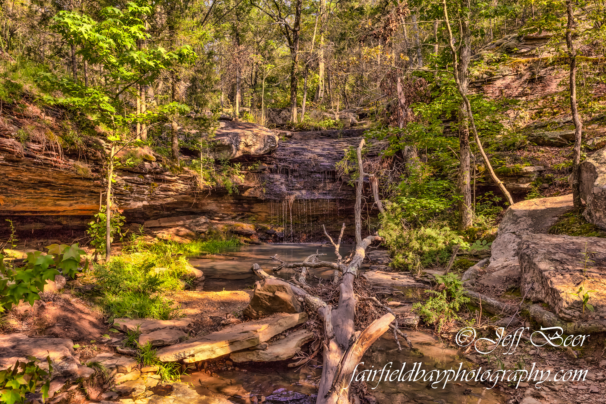
View from the waterfall
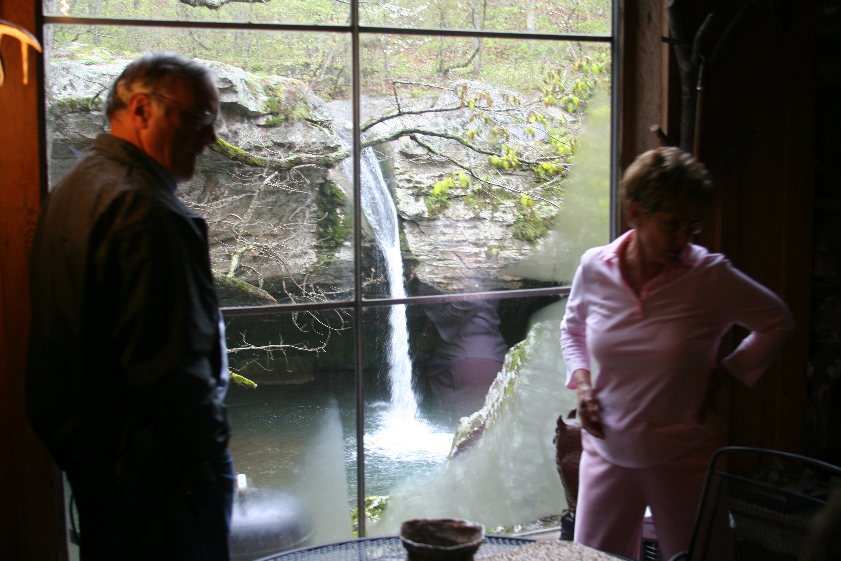
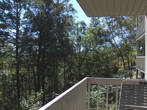
Window View

Cabin 2 View

View from the lake house
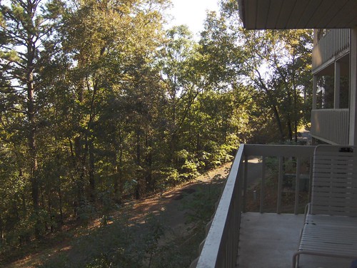
Deck View- Weaver Creek

Arkansas Carp and Scenes-3
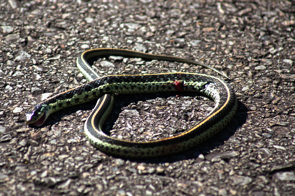
Garter Snake
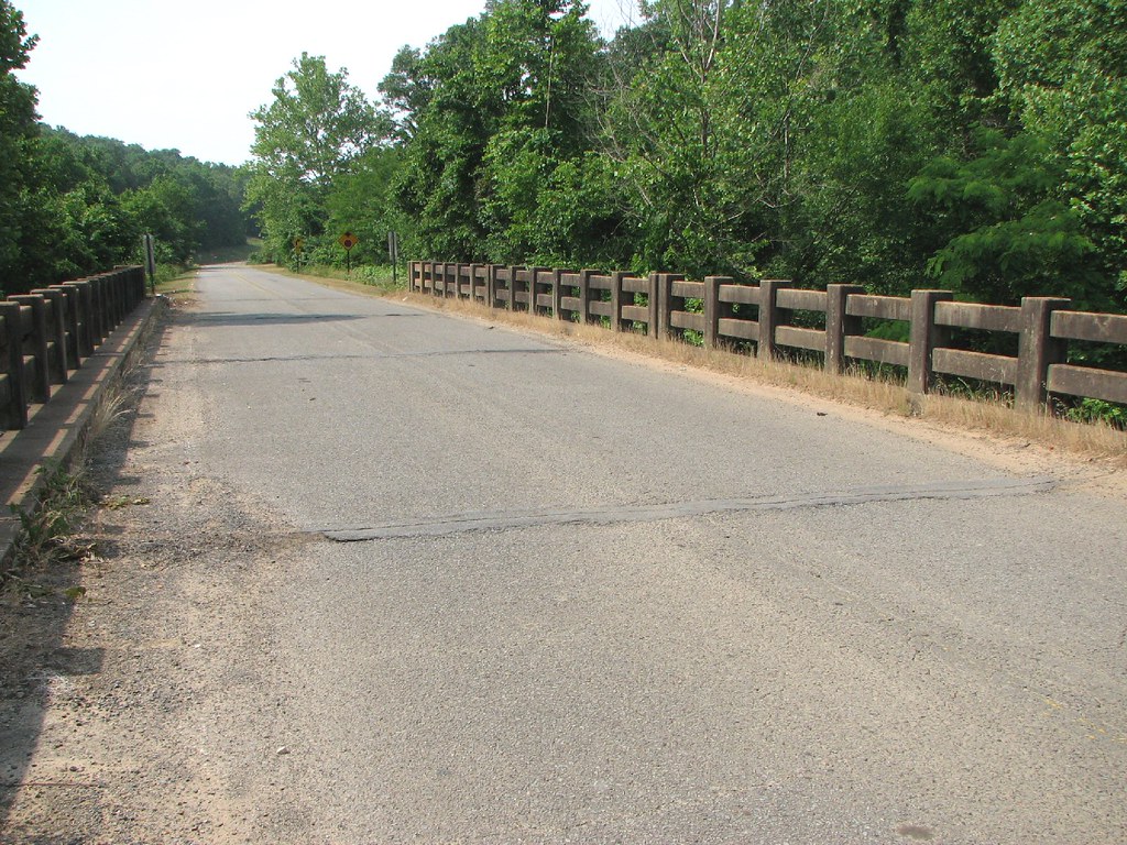
Fairfield Bay, Arkansas
Fairfield Bay, Arkansas
Fairfield Bay, Arkansas
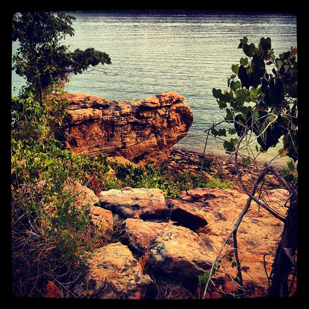
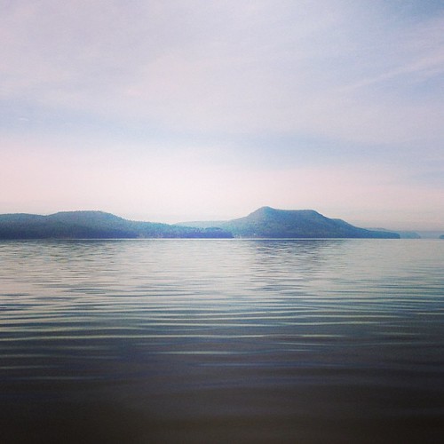
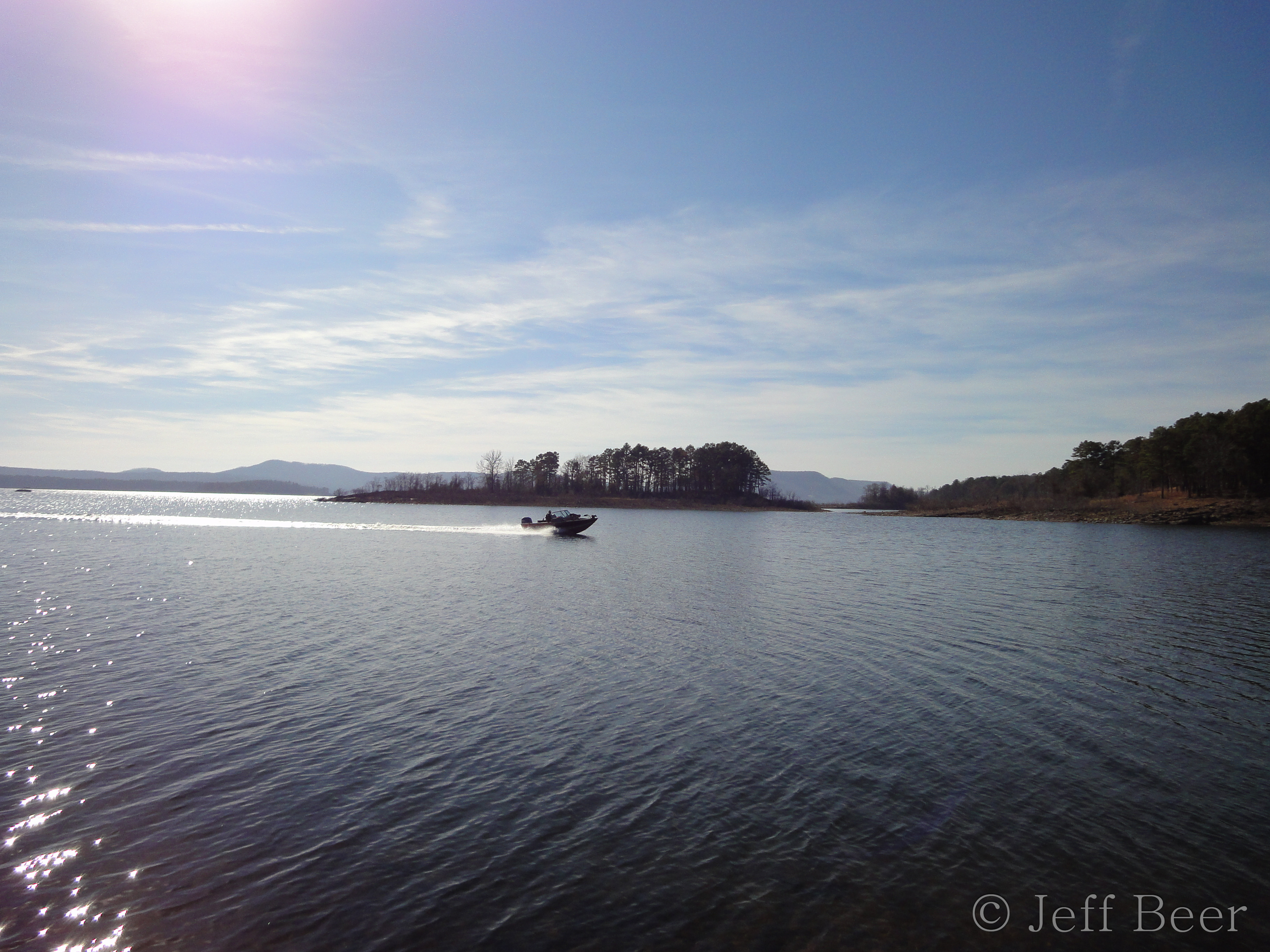
Greer's Ferry Lake Shoreline

Fairfield Bay Marina
Indian Falls, Wild Horse Canyon
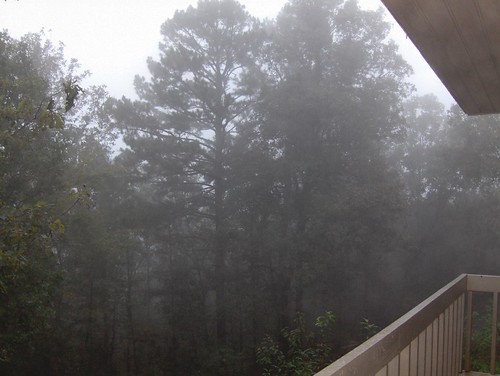
This weekend we took a ferry out on the lake to an mountain/island. It was a perfect opportunity for #whpfoggy

Devil's Fork Sunset
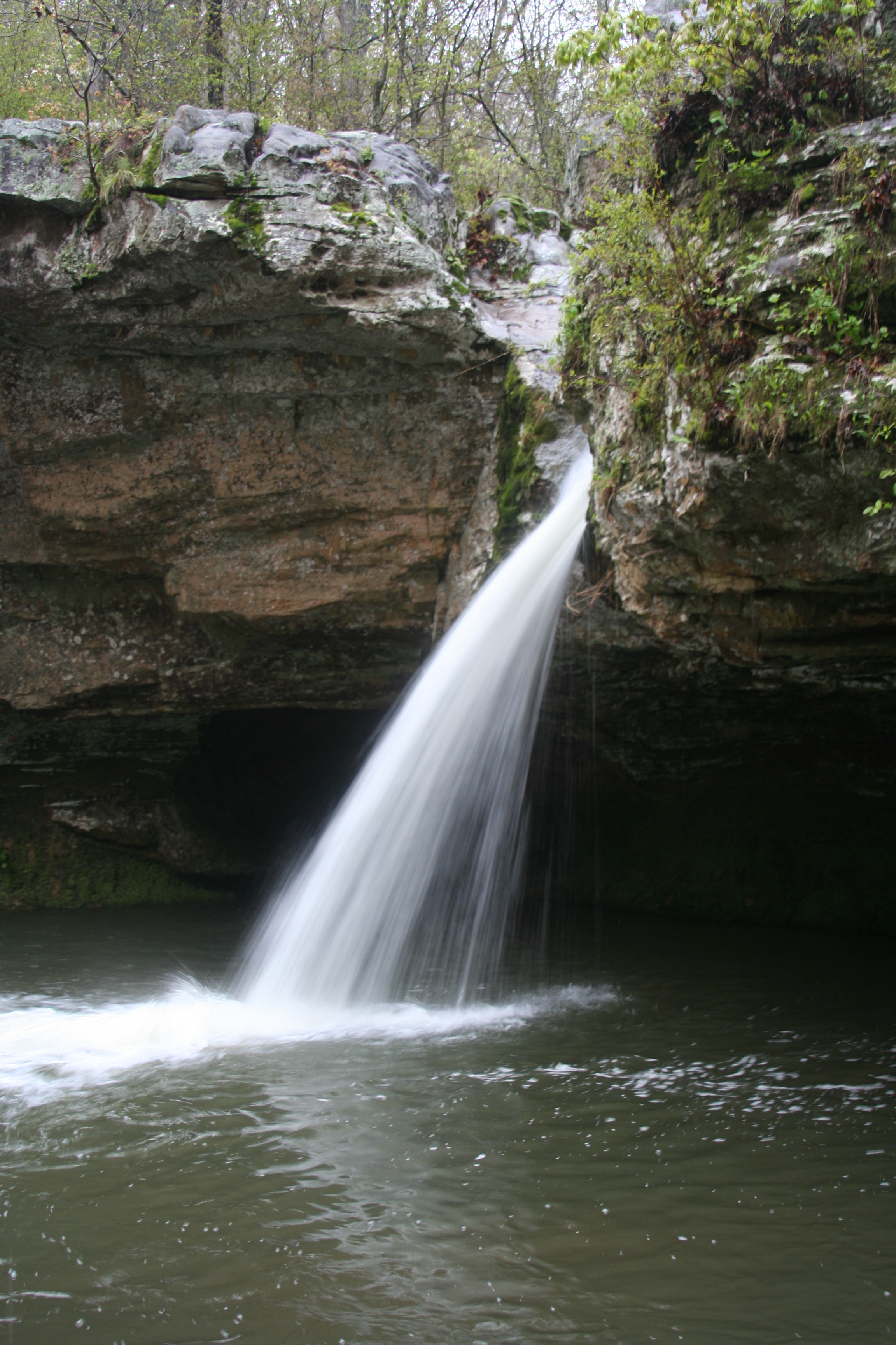
Water Fall shot
Reflection Pool
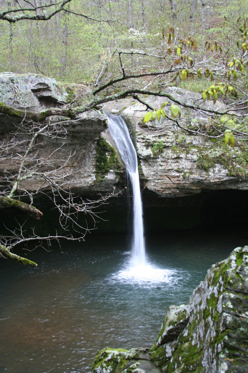
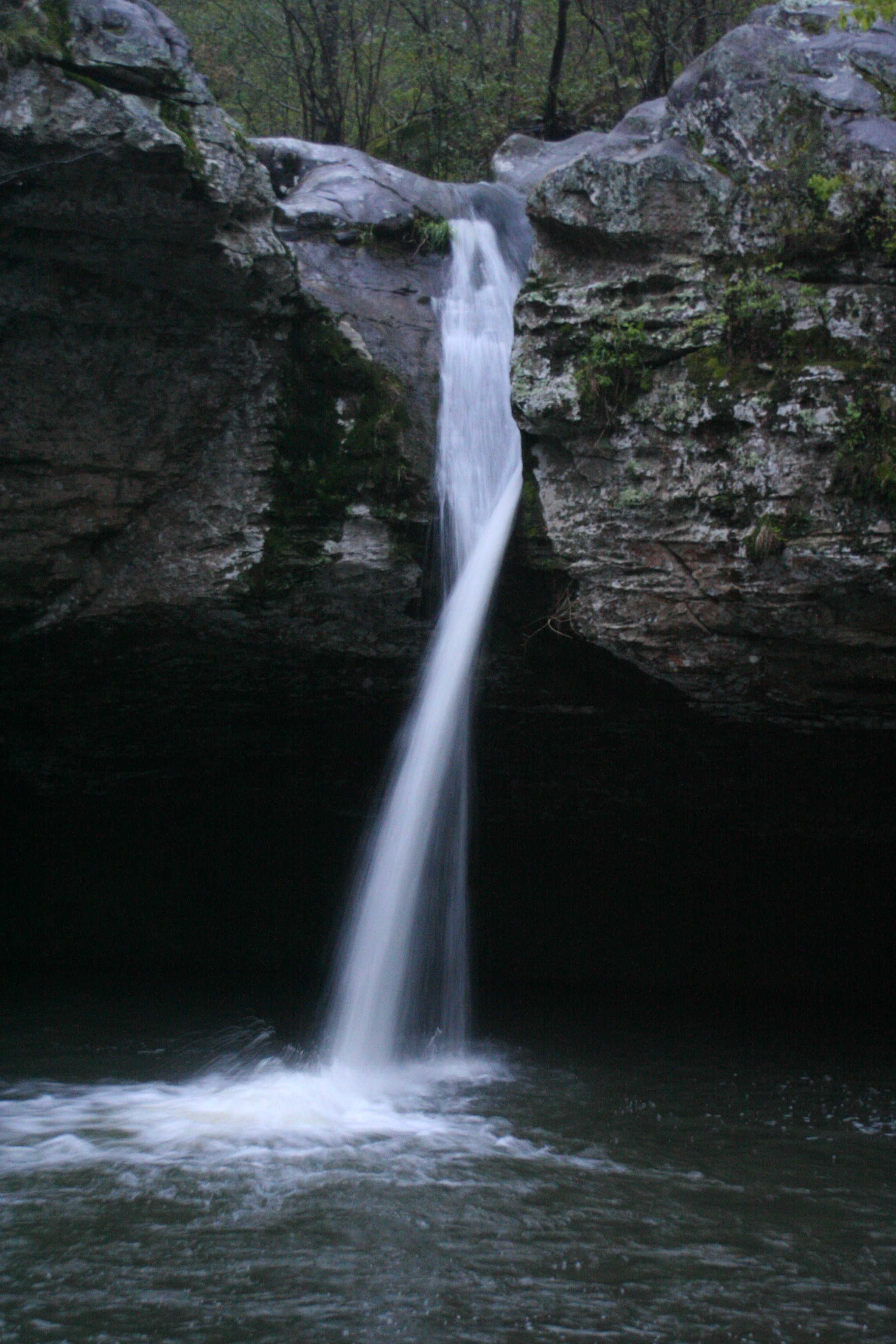
Water Fall
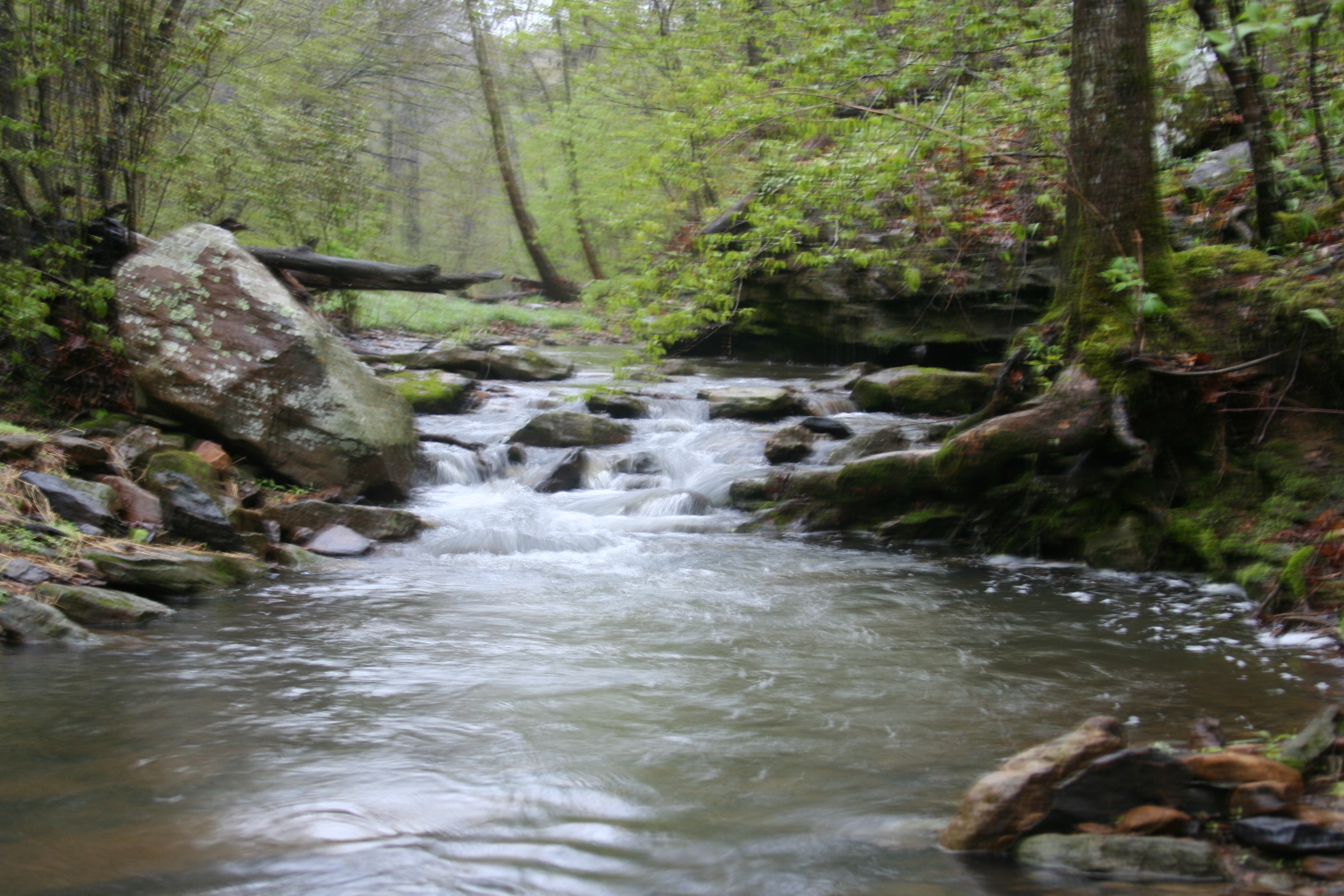
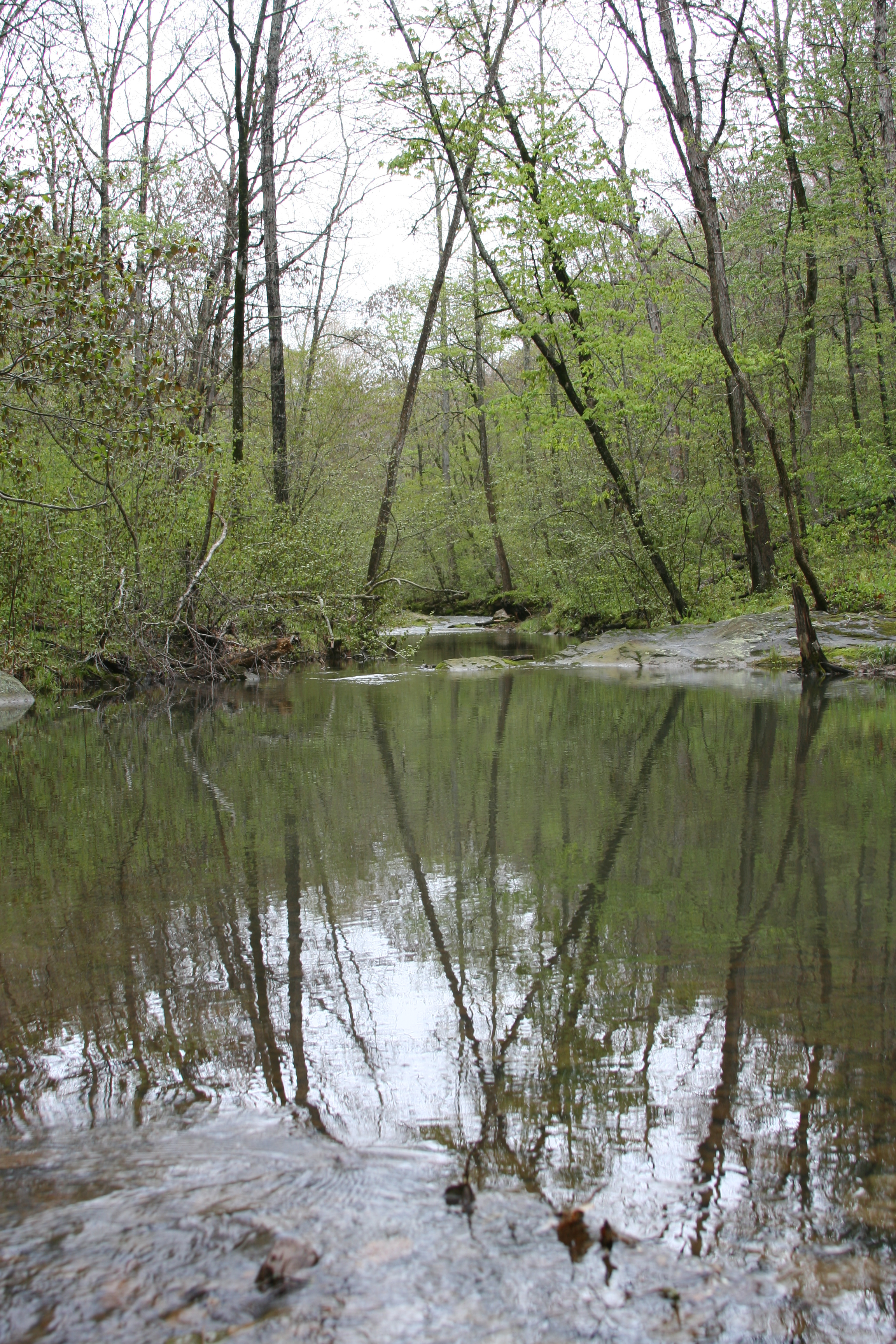
Stream again..
Greers Ferry Lake Arkansas (8 of 14).jpg

Field Grass
Water fall.
Topographic Map of Poff Township, AR, USA
Find elevation by address:

Places in Poff Township, AR, USA:
Places near Poff Township, AR, USA:
Brewer Rd, Edgemont, AR, USA
3930 Brewer Rd
3930 Brewer Rd
3930 Brewer Rd
3930 Brewer Rd
3930 Brewer Rd
3930 Brewer Rd
3930 Brewer Rd
3930 Brewer Rd
3930 Brewer Rd
Edgemont
225 Snead Dr
103 Rosemont Cir
205 Pine Hill Rd
112 Hollybrook Rd
134 Richwood Dr
Sugar Camp Township
168 Dunn Hollow Dr
165 Pine Knot Rd
50 Pine St, Higden, AR, USA
Recent Searches:
- Elevation of Lampiasi St, Sarasota, FL, USA
- Elevation of Elwyn Dr, Roanoke Rapids, NC, USA
- Elevation of Congressional Dr, Stevensville, MD, USA
- Elevation of Bellview Rd, McLean, VA, USA
- Elevation of Stage Island Rd, Chatham, MA, USA
- Elevation of Shibuya Scramble Crossing, 21 Udagawacho, Shibuya City, Tokyo -, Japan
- Elevation of Jadagoniai, Kaunas District Municipality, Lithuania
- Elevation of Pagonija rock, Kranto 7-oji g. 8"N, Kaunas, Lithuania
- Elevation of Co Rd 87, Jamestown, CO, USA
- Elevation of Tenjo, Cundinamarca, Colombia