Elevation of Plymouth, MA, USA
Location: United States > Massachusetts > Plymouth County >
Longitude: -70.667262
Latitude: 41.9584457
Elevation: 14m / 46feet
Barometric Pressure: 101KPa
Elevation Map:
Satellite Map:
Related Photos:

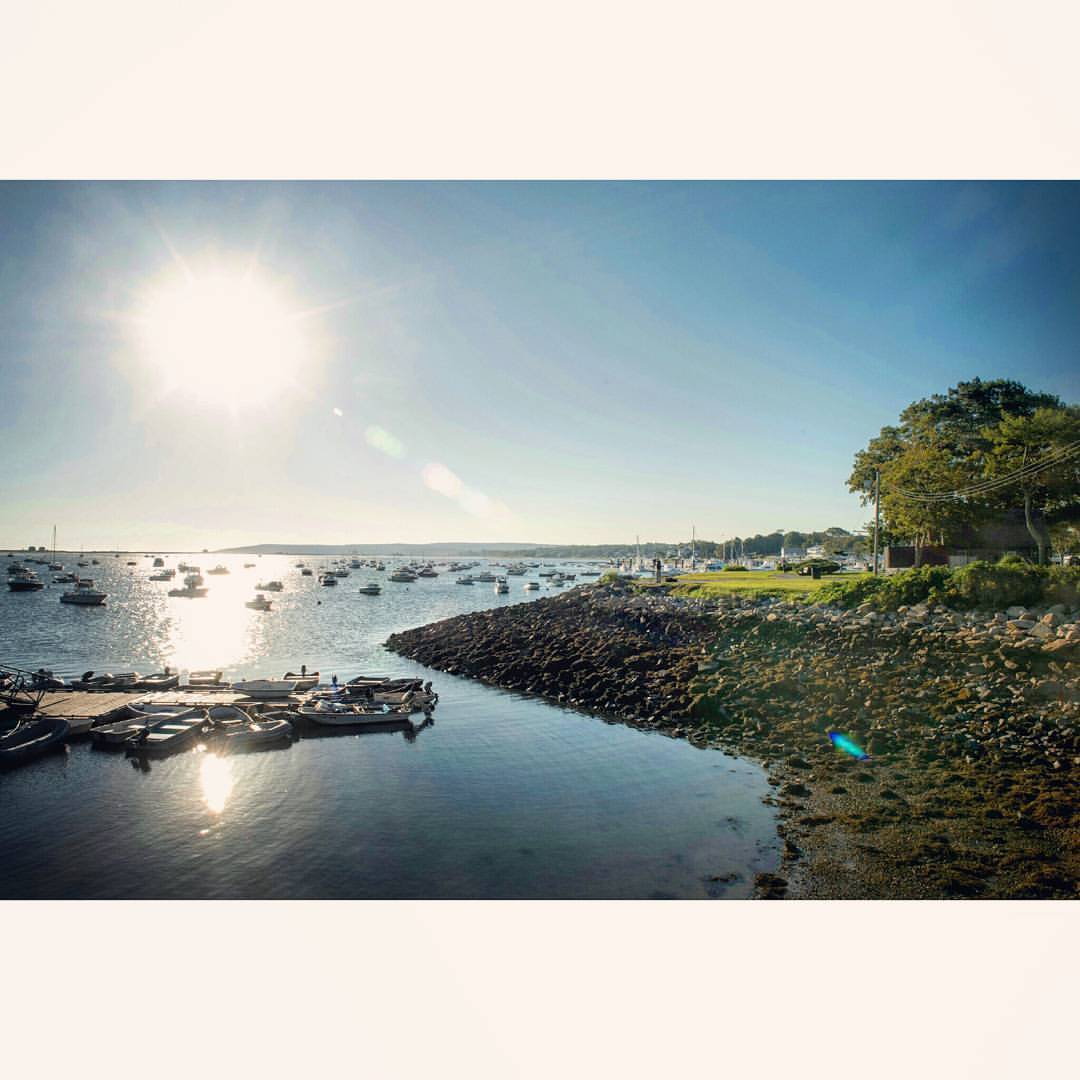
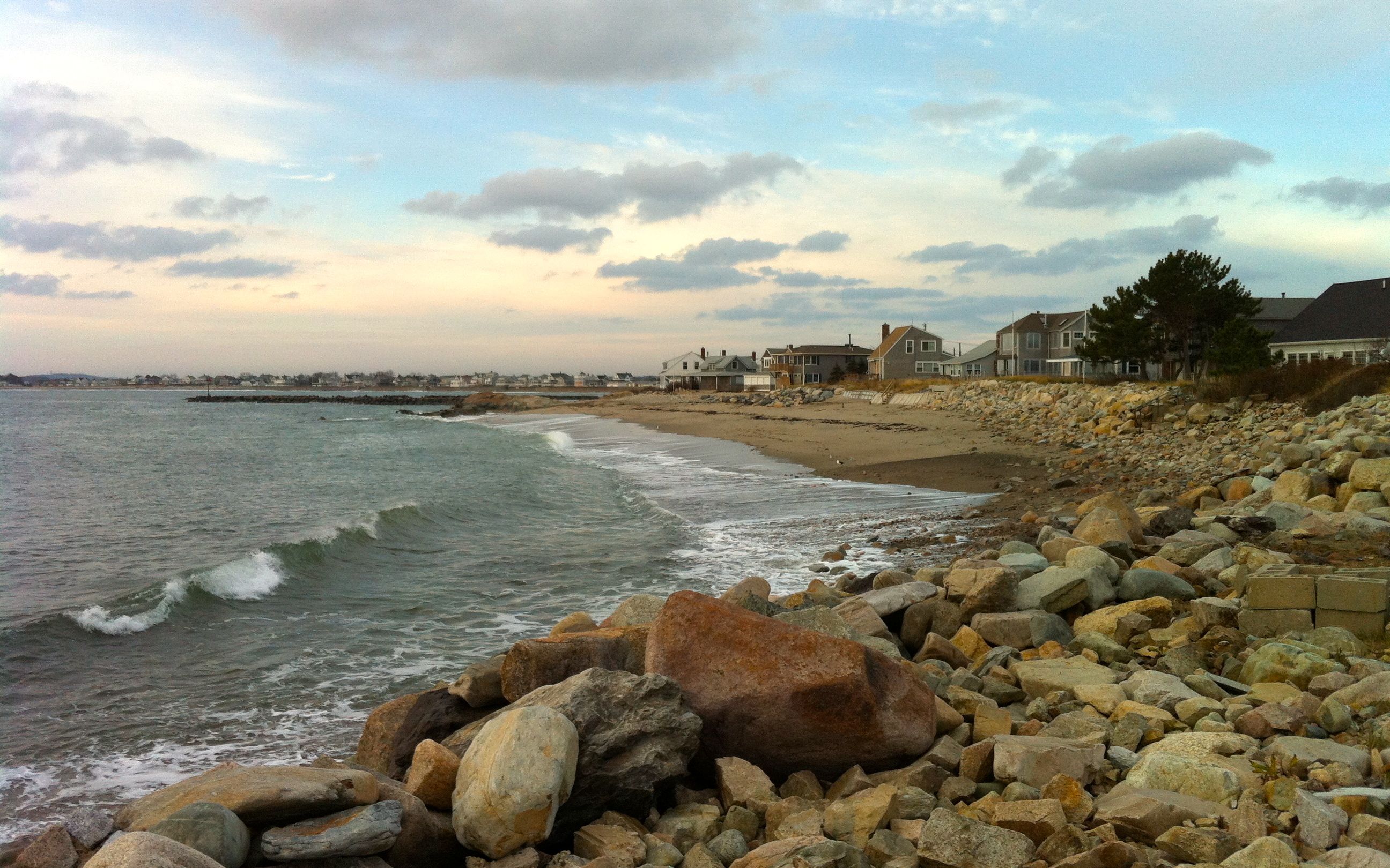
Plymouth Harbor

Wampanoag in the Long House

Barbara - second wife of Edward

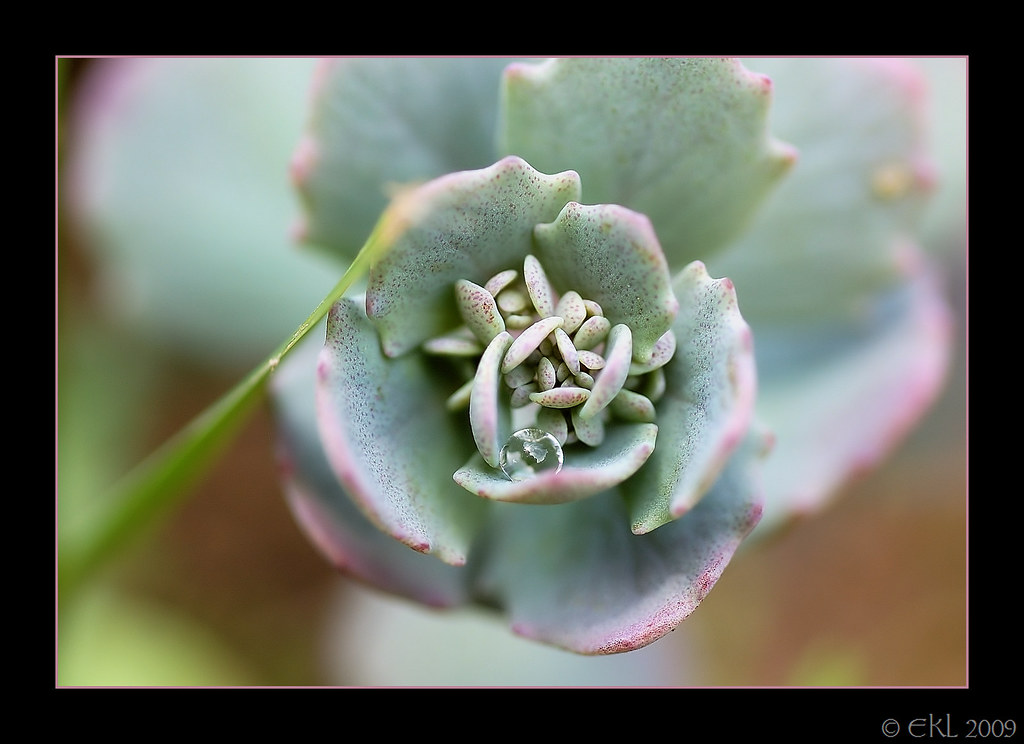
Bridesmaids Flowers

Tide Pool Sunrise in Plymouth, Massachusetts

Sunrise over Plymouth Bay, MA

view from burial hill

[explore] golden hour mayflower
Solitary drop

view from burial hill

Welcome To My Nightmare

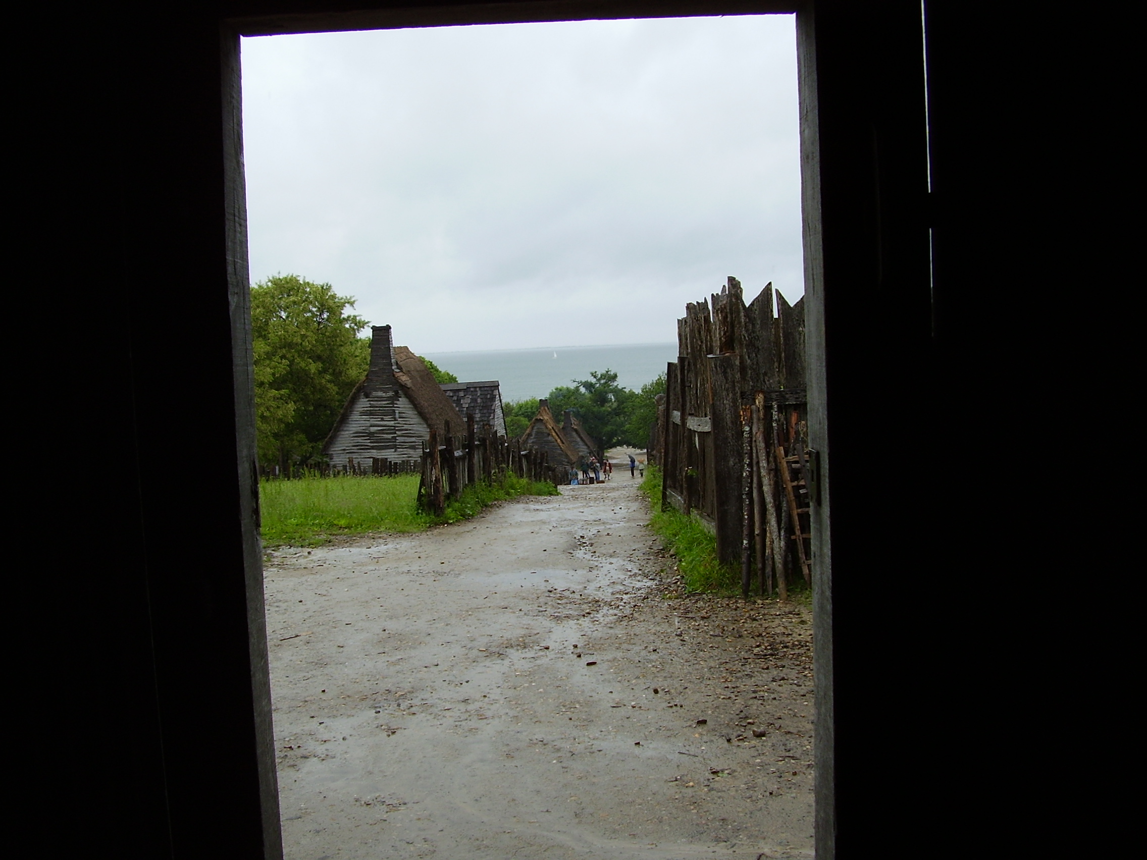
Backdoor View
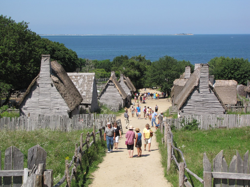
Plimoth Plantation - 1627 English Village

view from burial hill
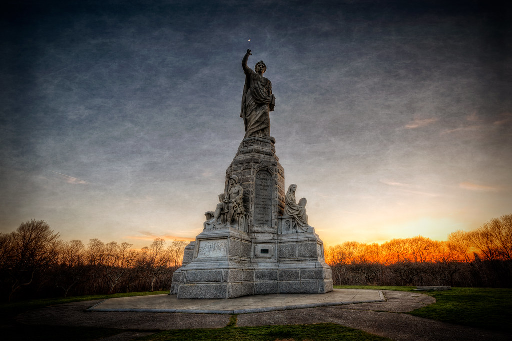
National Monument to the Forefathers

A settler's wife
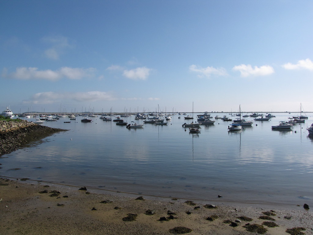
Plymouth Harbor

Harbor View

Stephen Hopkins, take 2

Caitlin & Luke.
Town and sea

HMS Bounty / Mayflower II

Beach Grass

HMS Bounty
Day 184. Beautiful morning for a 50- mile stroll. #200daysofstephano #journeytopokanoket #Stephano Coming to @ripbs36 or YouTube.com/hitandrunhistory. @rhodeislandpbs #documentary #plymouth #travel #history #ocean #picoftheday #plymouth400 #hopkins #pho

Morning Glow
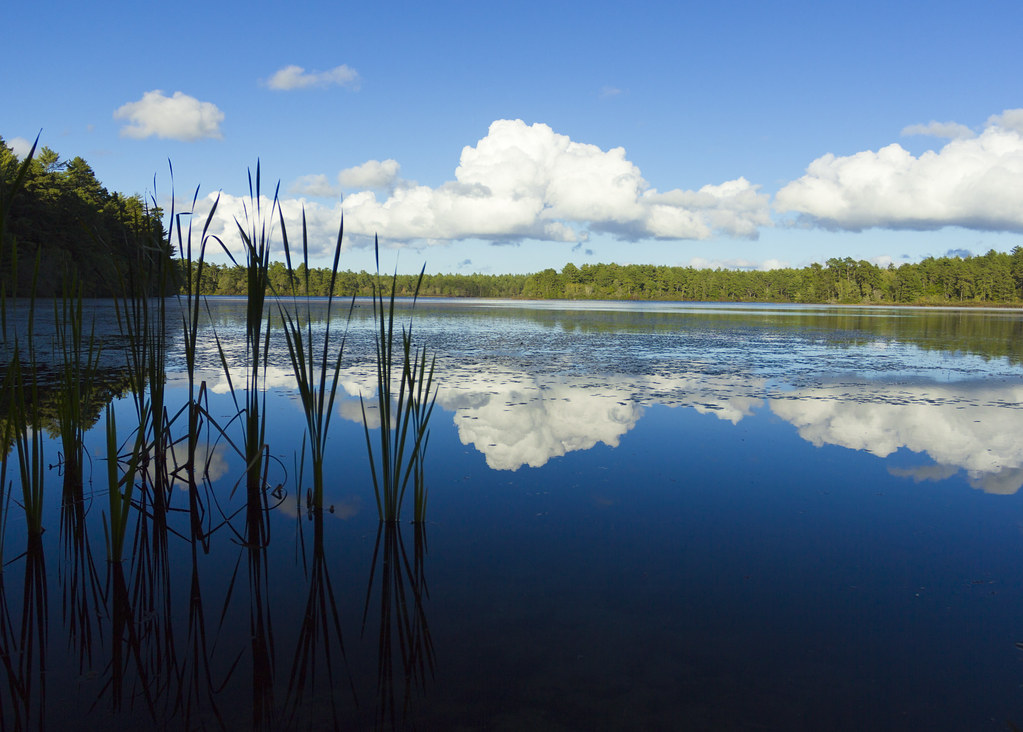
East Head Pond

National Monument to the Forefathers, Plymouth, MA - HDR

Manomet Point

manomet beach: august 27, 2012

Plymouth Rock.. Mass.
Untitled (2013-05-12 20:08:07)

Stranger in a Strange Land

breakwater colour

Plymouth Harbor

Angie, Plimoth Plantation

DSC03650.JPG

In the woods... #sundayfunday #mylesstandish

Which way?

Manomet Point
Brant-Rock-11-21-12 - 4

Brant-Rock-11-21-12 - 4
Topographic Map of Plymouth, MA, USA
Find elevation by address:

Places in Plymouth, MA, USA:
Boston-cambridge-quincy, Ma-nh
Manomet
North Plymouth
Old Sandwich Rd, Plymouth, MA, USA
11 Janet St, Plymouth, MA, USA
62 Melix Ave, Plymouth, MA, USA
Warren Ave, Plymouth, MA, USA
Shore Road
Lookout Point Road
Shore Drive
Bayden Path
Stones Throw
Center Hill Road Ex
Cary Road
Manomet Hill
Manomet Point Road
Russell Mills Road
Benjamin's Gate
Fresh Pond
Birmingham
Tilley Crescent
Prower Landing
Matt Hoxie Trail
Fletcher Reach'
Pelham Walk
Bradstreete Crossing
Wayside Path
Ludlow Trail
Ludlow Trail
Ludlow Trail
West Trevor Hill
Holbeck Corner
Holbeck Corner
Pinchion Vale
Endicott Glen
Henloe Green
Minter Court
Kate's Glen
Rigsdale Way
Winslowe's View
Places near Plymouth, MA, USA:
55 Court St
11 Howland St
Water Street
4 Court St
1 Court St
12 Allerton St
12 Allerton St
100 Water St
65 Main St
Plymouth Cultural District
Burying Hill
48 Summer St
46 Davis St
53 Standish Ave
91 Newfield St
214 Court St
38 Hayloft Rd
51 Olmstead Terrace
Summer Reach
263 Summer St
Recent Searches:
- Elevation of Corso Fratelli Cairoli, 35, Macerata MC, Italy
- Elevation of Tallevast Rd, Sarasota, FL, USA
- Elevation of 4th St E, Sonoma, CA, USA
- Elevation of Black Hollow Rd, Pennsdale, PA, USA
- Elevation of Oakland Ave, Williamsport, PA, USA
- Elevation of Pedrógão Grande, Portugal
- Elevation of Klee Dr, Martinsburg, WV, USA
- Elevation of Via Roma, Pieranica CR, Italy
- Elevation of Tavkvetili Mountain, Georgia
- Elevation of Hartfords Bluff Cir, Mt Pleasant, SC, USA