Elevation of 55 Court St, Plymouth, MA, USA
Location: United States > Massachusetts > Plymouth County > Plymouth > Boston-cambridge-quincy, Ma-nh > Plymouth Cultural District >
Longitude: -70.667306
Latitude: 41.9584977
Elevation: 14m / 46feet
Barometric Pressure: 101KPa
Elevation Map:
Satellite Map:
Related Photos:

[explore] golden hour mayflower

Port Hole

Harbor View

Barbara - second wife of Edward

Barn Swallow

Bridesmaids Flowers

7D2_0080.jpg

Sunrise over Plymouth Bay, MA

view from burial hill
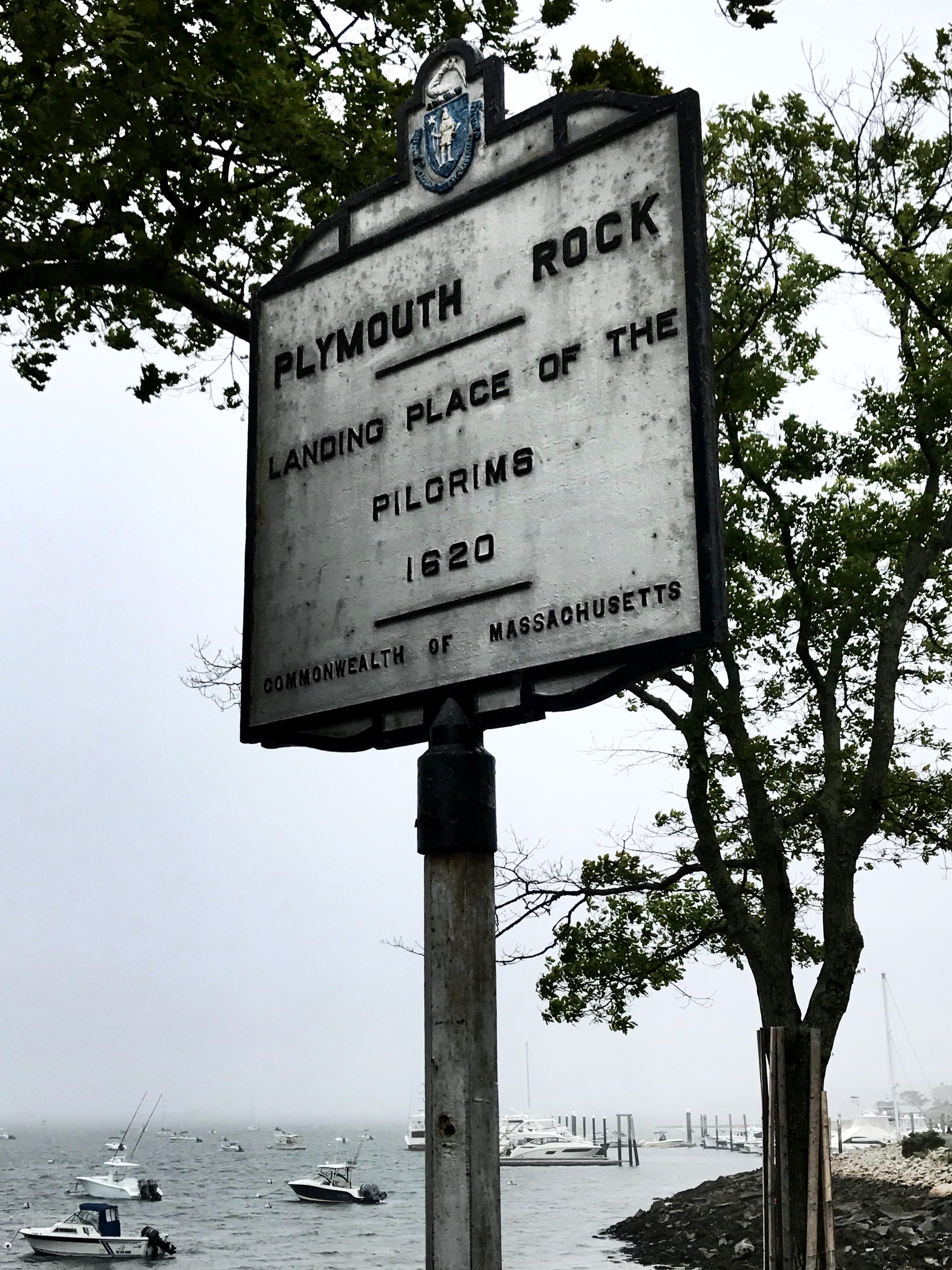
Landing place of the Mayflower pilgrims | Plymouth Rock

_D2_7356.jpg

Tulips at the Pilgrim Hall Museum - Plymouth

view from burial hill

Ivory Gull

019/365 - A Sample of Tonight's Samples
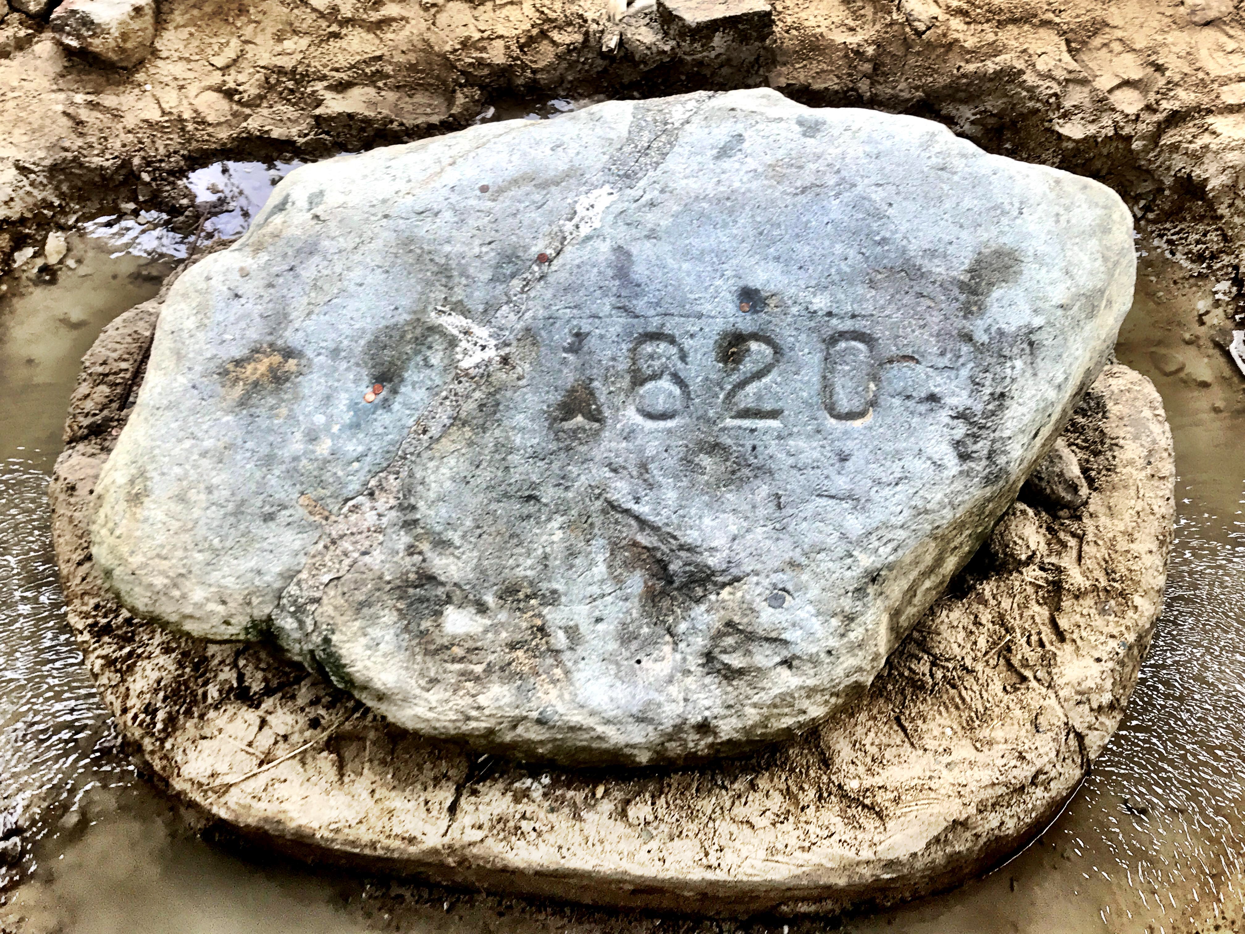
The actual Plymouth Rock where the pilgrims landed

Stephen Hopkins, take 2
Bridge at Bluefish River
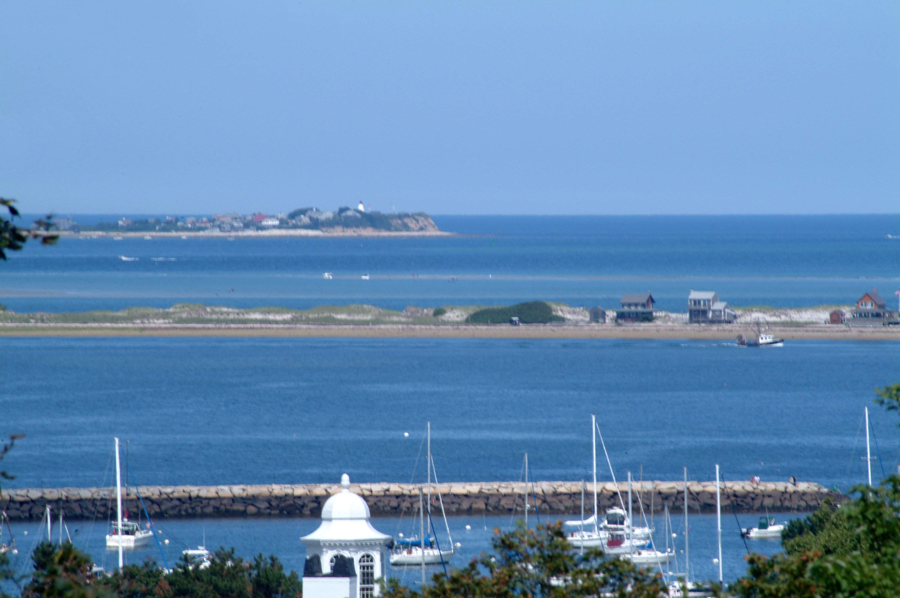
Plymouth Harbor

O HAI

Window View

Morning on the Beach
Down the Line

HMS Bounty / Mayflower II

Plymouth Harbor
Green Harbor, MA
Beach Grass

HMS Bounty

National Monument to the Forefathers, Plymouth, MA - HDR

Is this the mutha f@ckin Kennedy Compound?

Duxbury Beach
Brant-Rock-11-21-12 - 4

breakwater colour
Untitled (2013-05-12 20:08:07)

Monponsett Sunset

DSC03650.JPG
Plymouth Breakwater

Stranger in a Strange Land

Manomet Point

Morning Glow
East Head Pond

Manomet Point
Topographic Map of 55 Court St, Plymouth, MA, USA
Find elevation by address:

Places near 55 Court St, Plymouth, MA, USA:
Plymouth
11 Howland St
Water Street
4 Court St
1 Court St
12 Allerton St
12 Allerton St
100 Water St
65 Main St
Plymouth Cultural District
Burying Hill
48 Summer St
46 Davis St
53 Standish Ave
91 Newfield St
214 Court St
38 Hayloft Rd
51 Olmstead Terrace
Summer Reach
263 Summer St
Recent Searches:
- Elevation of W Granada St, Tampa, FL, USA
- Elevation of Pykes Down, Ivybridge PL21 0BY, UK
- Elevation of Jalan Senandin, Lutong, Miri, Sarawak, Malaysia
- Elevation of Bilohirs'k
- Elevation of 30 Oak Lawn Dr, Barkhamsted, CT, USA
- Elevation of Luther Road, Luther Rd, Auburn, CA, USA
- Elevation of Unnamed Road, Respublika Severnaya Osetiya — Alaniya, Russia
- Elevation of Verkhny Fiagdon, North Ossetia–Alania Republic, Russia
- Elevation of F. Viola Hiway, San Rafael, Bulacan, Philippines
- Elevation of Herbage Dr, Gulfport, MS, USA