Elevation of Pleasant Valley Dr, Marion, NC, USA
Location: United States > North Carolina > Mcdowell County > Old Fort > Old Fort >
Longitude: -82.109806
Latitude: 35.6706637
Elevation: 403m / 1322feet
Barometric Pressure: 97KPa
Elevation Map:
Satellite Map:
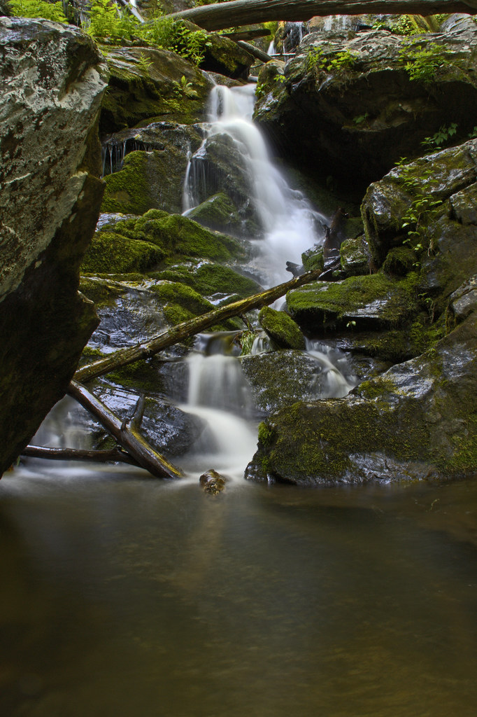
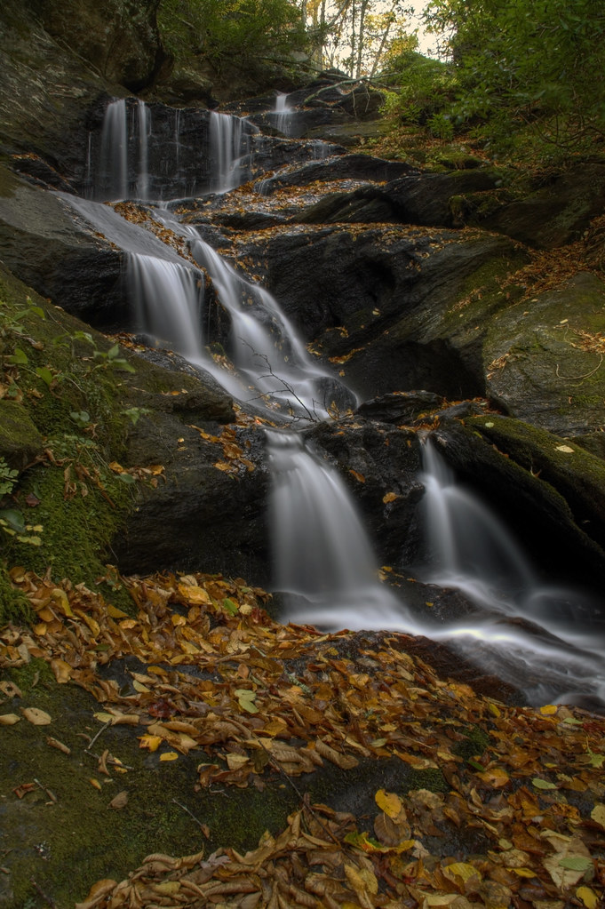
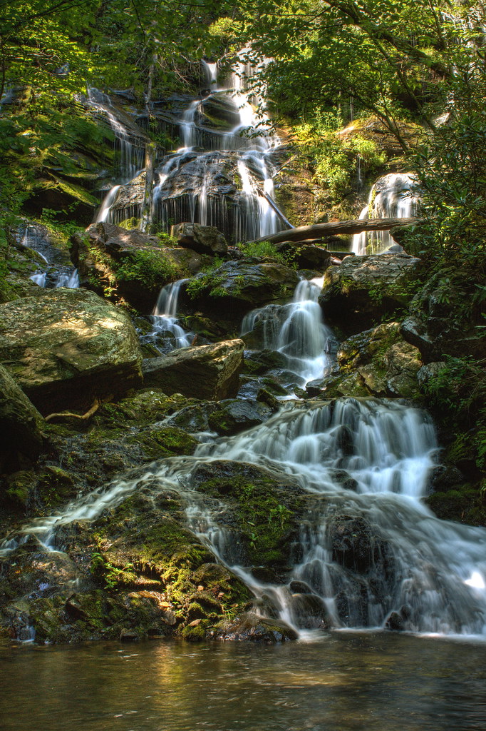
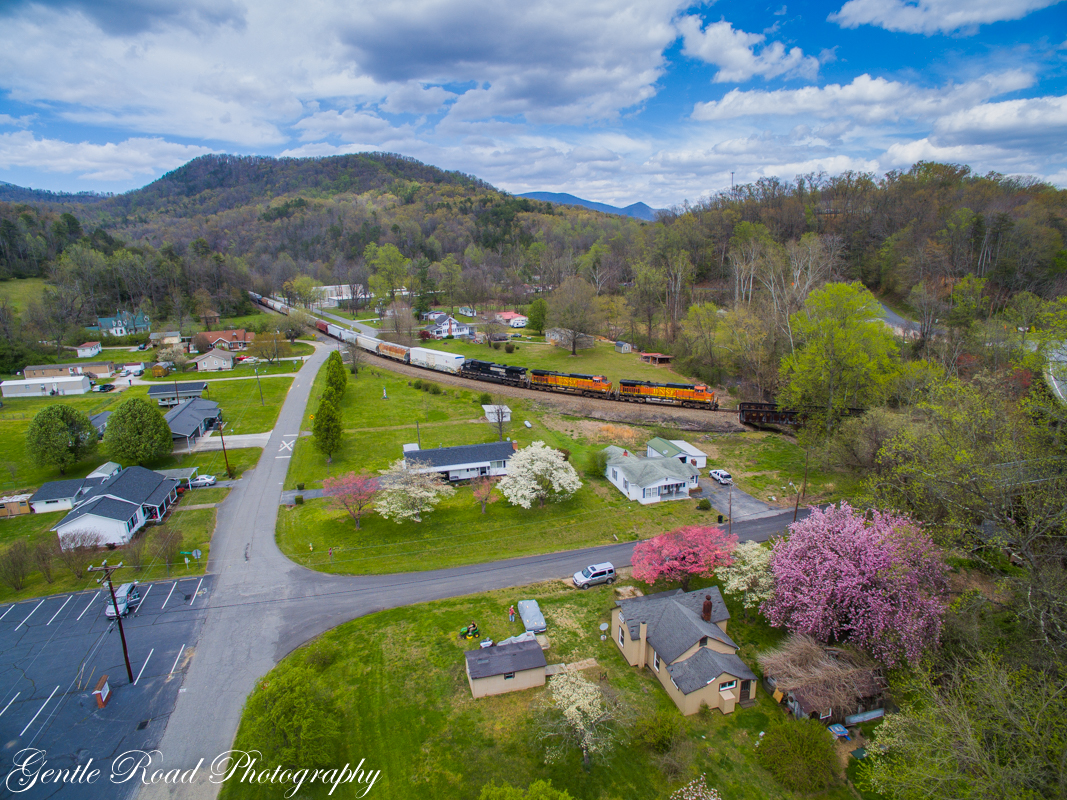
Related Photos:

Back to the Beginning
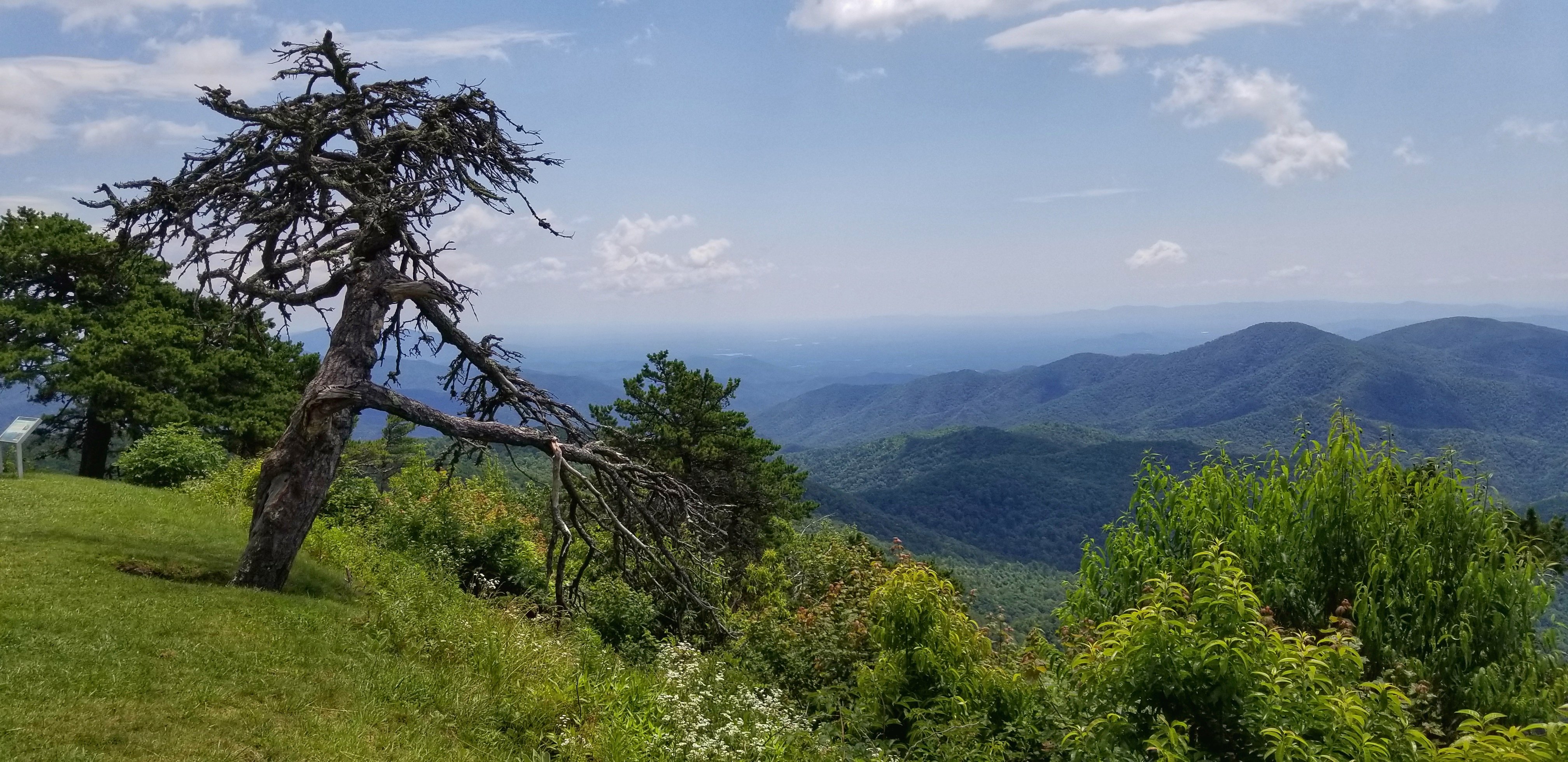
Along the Blue Ridge parkway
Splish Splasin'
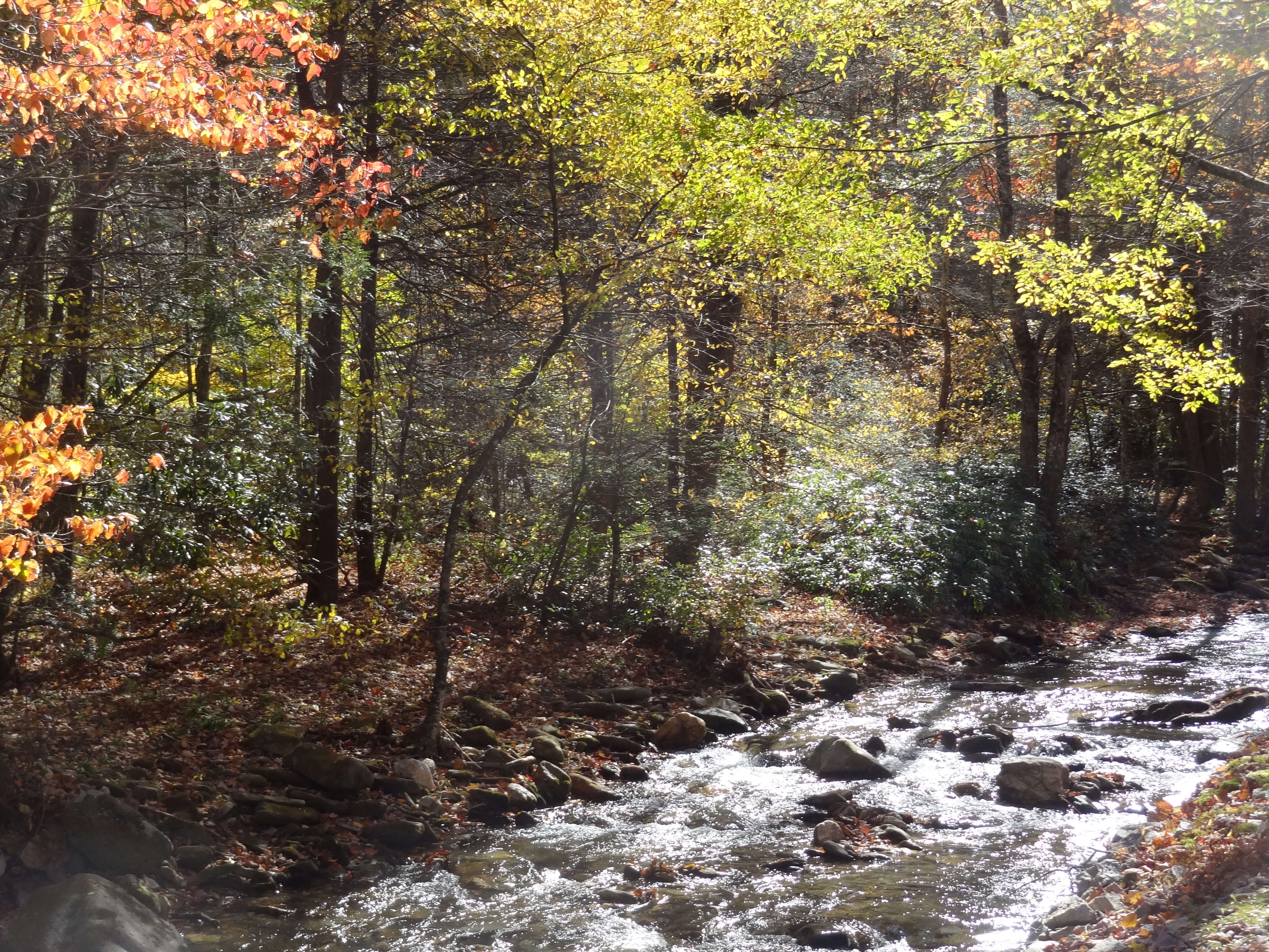
Buck Creek with colorful trees
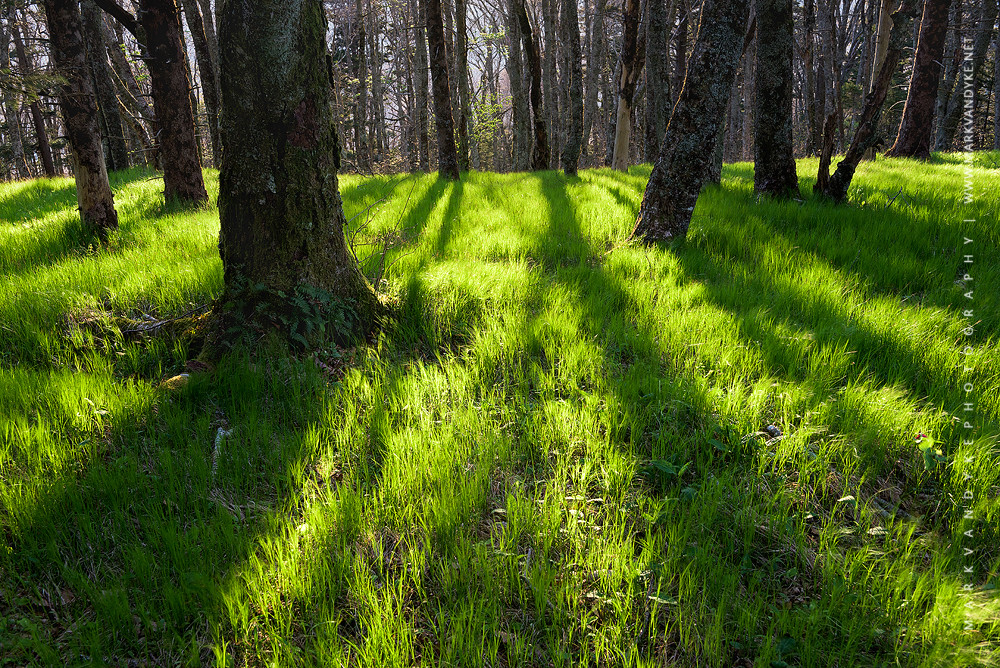
Spring's Long Shadow NC Mountains

Silvers Welch Road View (IRG)
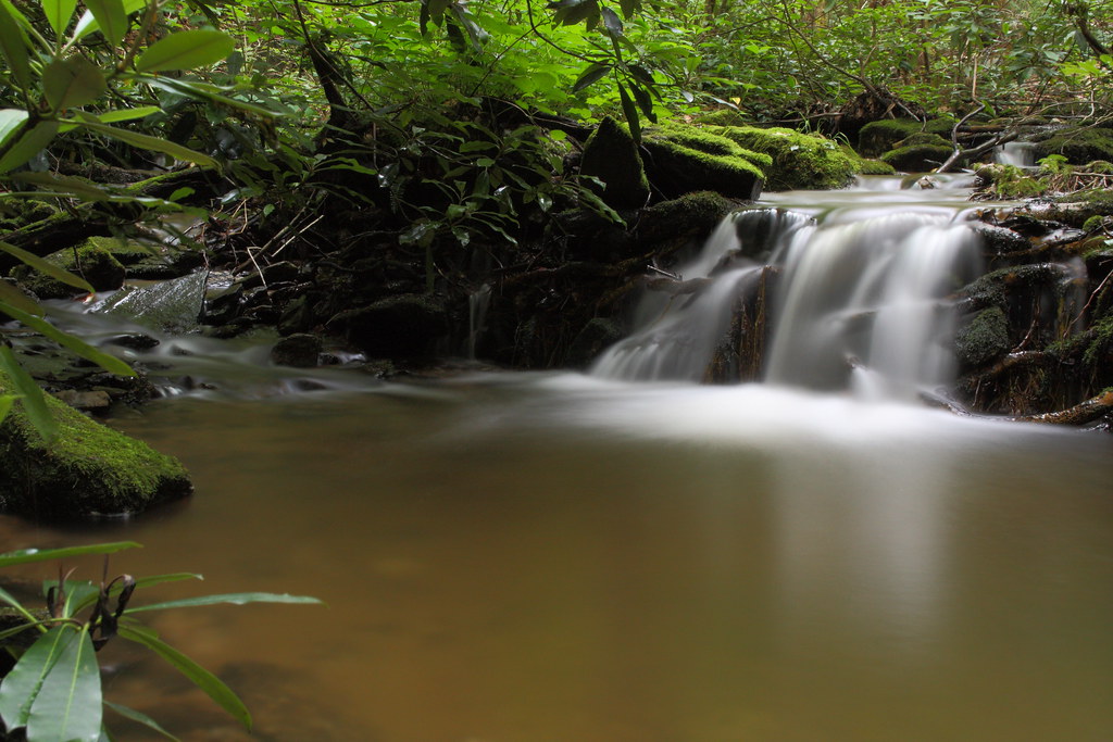
Catawba Falls Cascade
Near the Top

Catawba empties on the loops
A Perfect Day...
Springtime in Old Fort
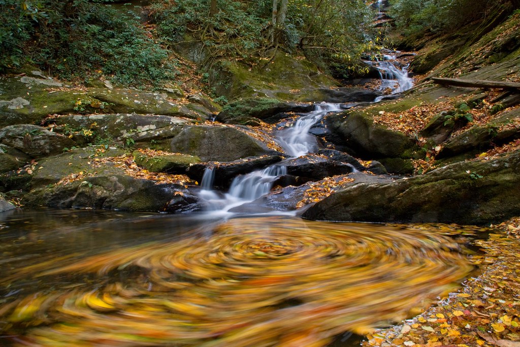
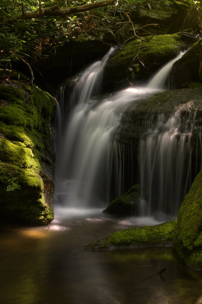
Swirl Pool

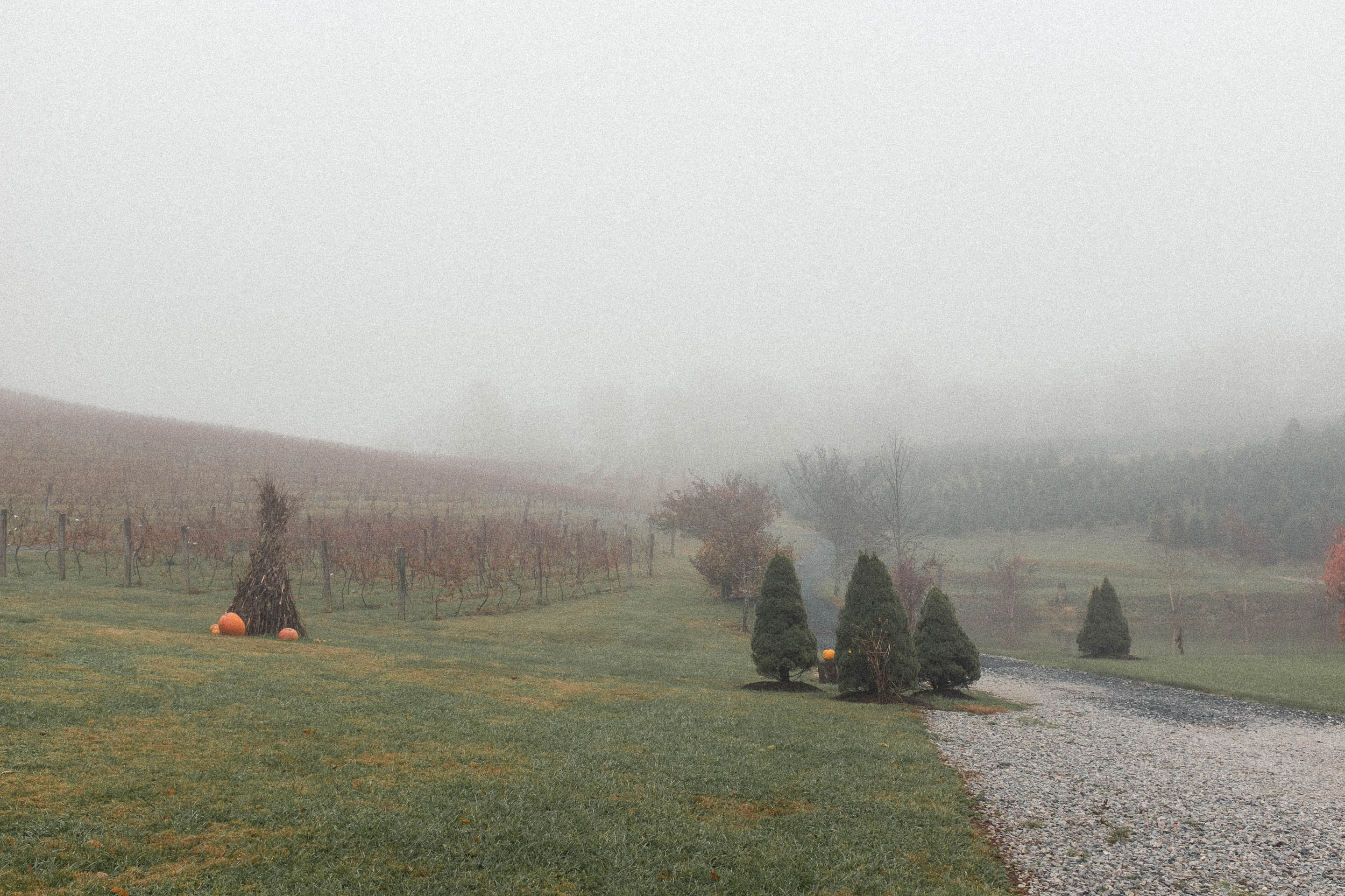
Trees in the Mist, Crabtree Meadows
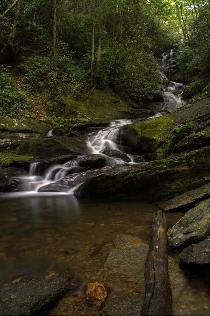
Log and Rocks
135 crossing Mill Creek
Double heritage in Old Fort
DSCF3926.jpg
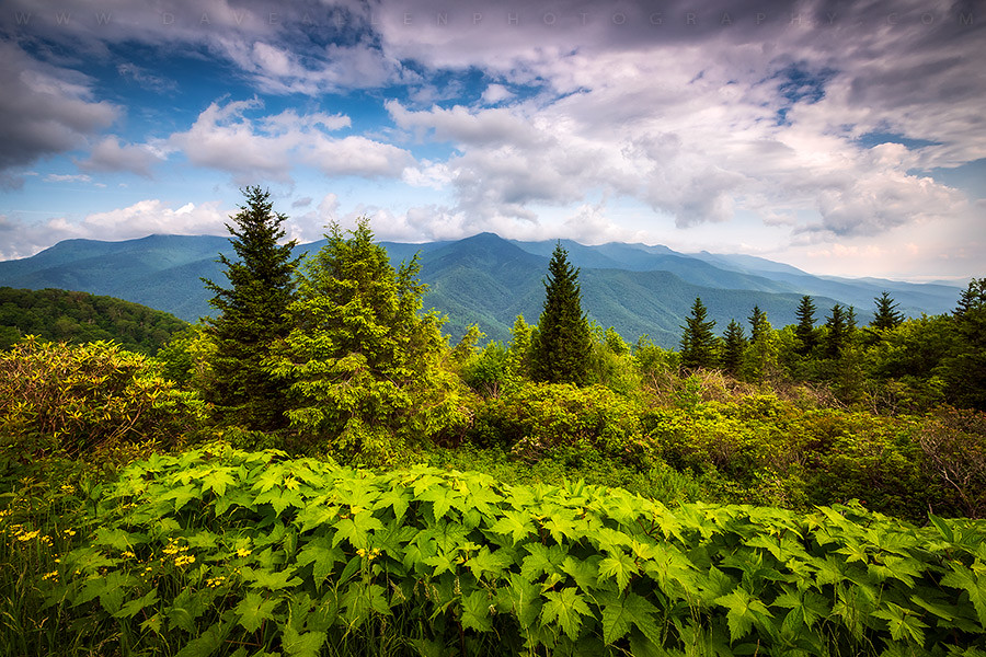
Mount Mitchell Asheville NC Blue Ridge Parkway Mountains Landscape
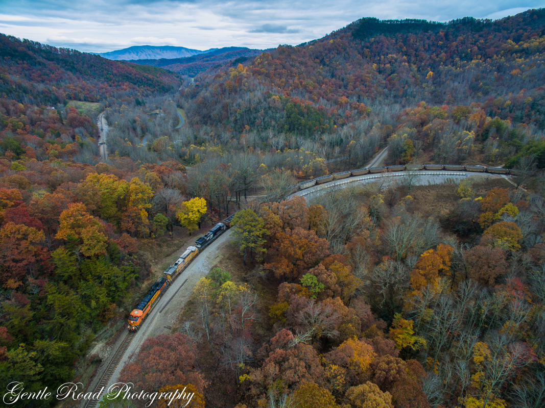
3 miles in one shot with 749.
Tom's Creek Cascade

The Orange Rock
Topographic Map of Pleasant Valley Dr, Marion, NC, USA
Find elevation by address:

Places near Pleasant Valley Dr, Marion, NC, USA:
369 Columbia Carolina Rd
124 Johnson Hollow Rd W
446 Henry Mccall Rd
285 Crown Ridge Rd
247 Crown Ridge Rd
136 Covert Rd
2902 Greenlee Rd
66 Executive Estates Dr
2334 Lytle Mountain Rd
555 Guy Rd
335 Big Bear Blvd
335 Big Bear Blvd
469 Denver Ridge Rd
339 Nix Creek Church Rd
West Park Drive
575 W Payne Rd
332 Epley Dr
109 Squirrel Hollow Dr
771 Zion Hill Rd
2160 Zion Hill Rd
Recent Searches:
- Elevation of Zu den Ihlowbergen, Althüttendorf, Germany
- Elevation of Badaber, Peshawar, Khyber Pakhtunkhwa, Pakistan
- Elevation of SE Heron Loop, Lincoln City, OR, USA
- Elevation of Slanický ostrov, 01 Námestovo, Slovakia
- Elevation of Spaceport America, Co Rd A, Truth or Consequences, NM, USA
- Elevation of Warwick, RI, USA
- Elevation of Fern Rd, Whitmore, CA, USA
- Elevation of 62 Abbey St, Marshfield, MA, USA
- Elevation of Fernwood, Bradenton, FL, USA
- Elevation of Felindre, Swansea SA5 7LU, UK