Elevation of Pleasant Ridge Rd, LaFollette, TN, USA
Location: United States > Tennessee > Campbell County > Lafollette >
Longitude: -84.076672
Latitude: 36.3567096
Elevation: 442m / 1450feet
Barometric Pressure: 96KPa
Elevation Map:
Satellite Map:
Related Photos:

Lake View Motor Inn, Caryville, TN

October 17, 2013 | {290:365}

Campbell County, TN Courthouse - Jacksboro, TN

Thacker Christmas Inn & Restaurant

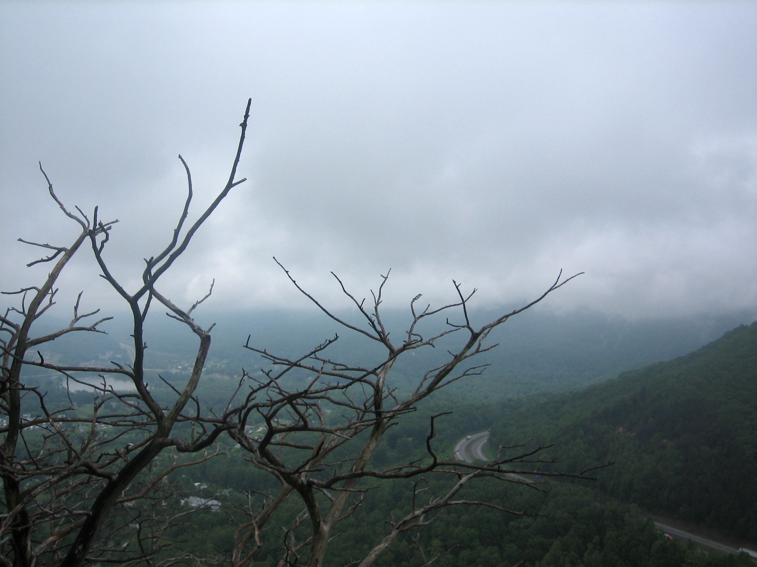
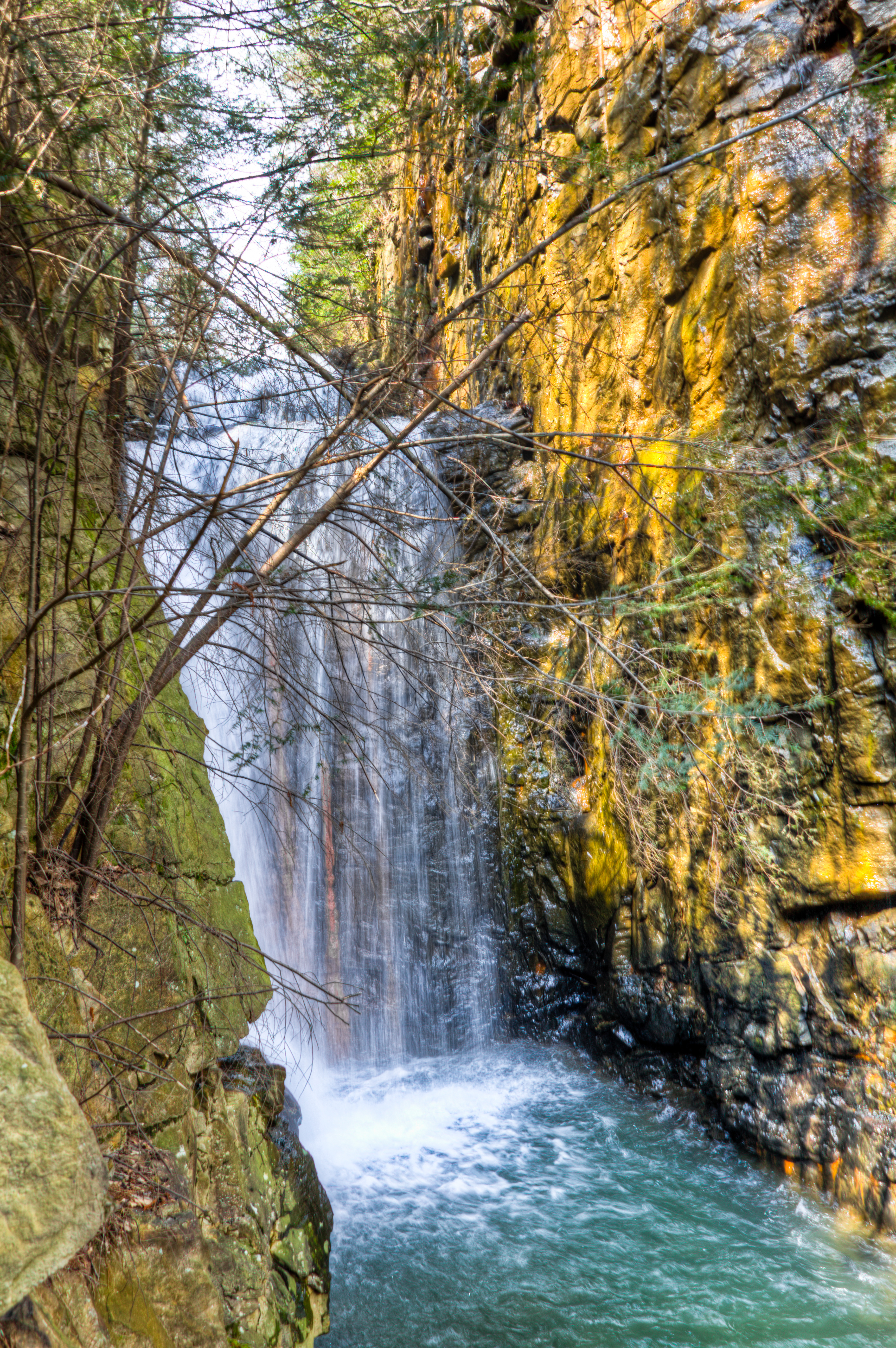
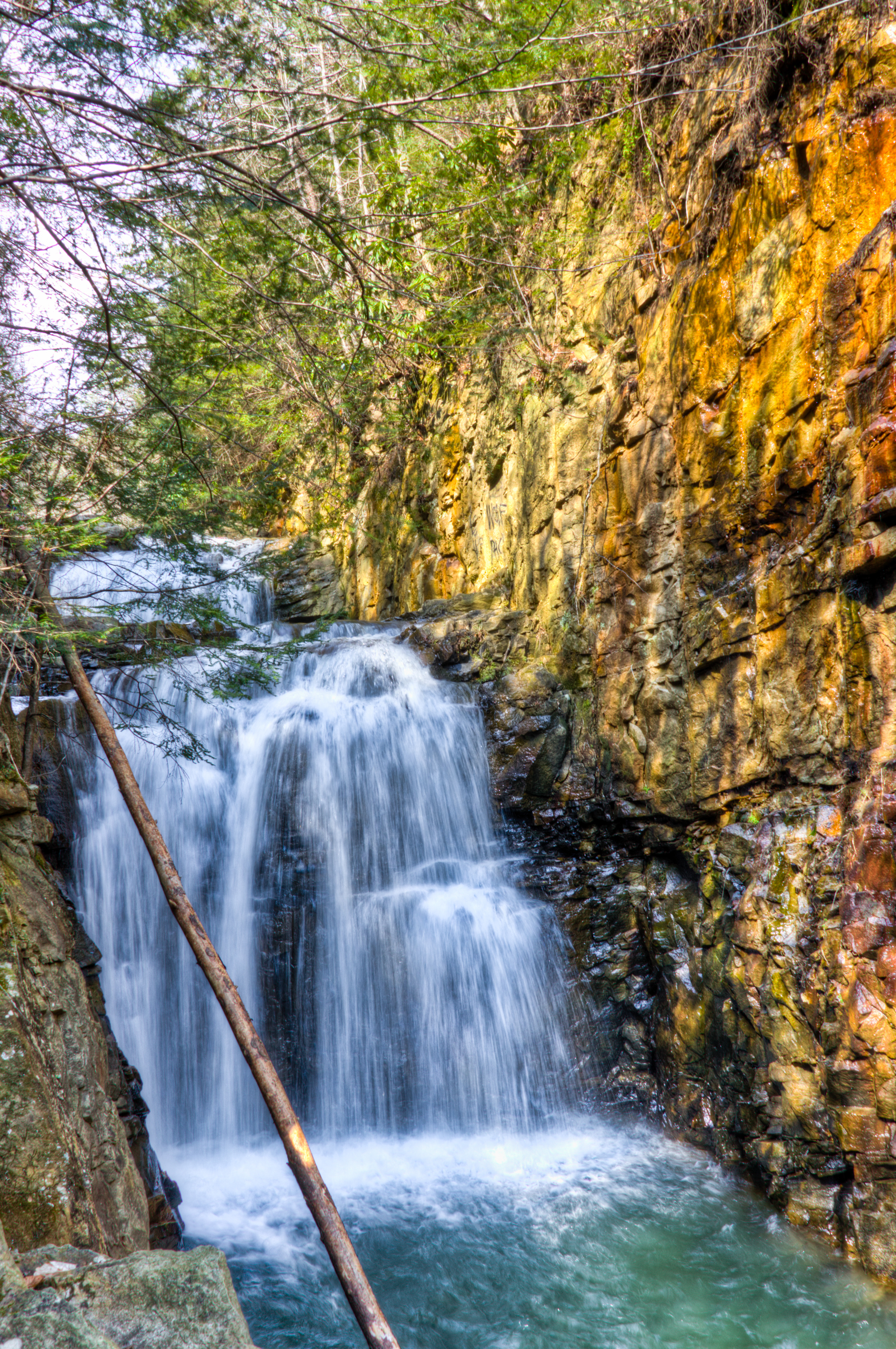
22 Stories Down

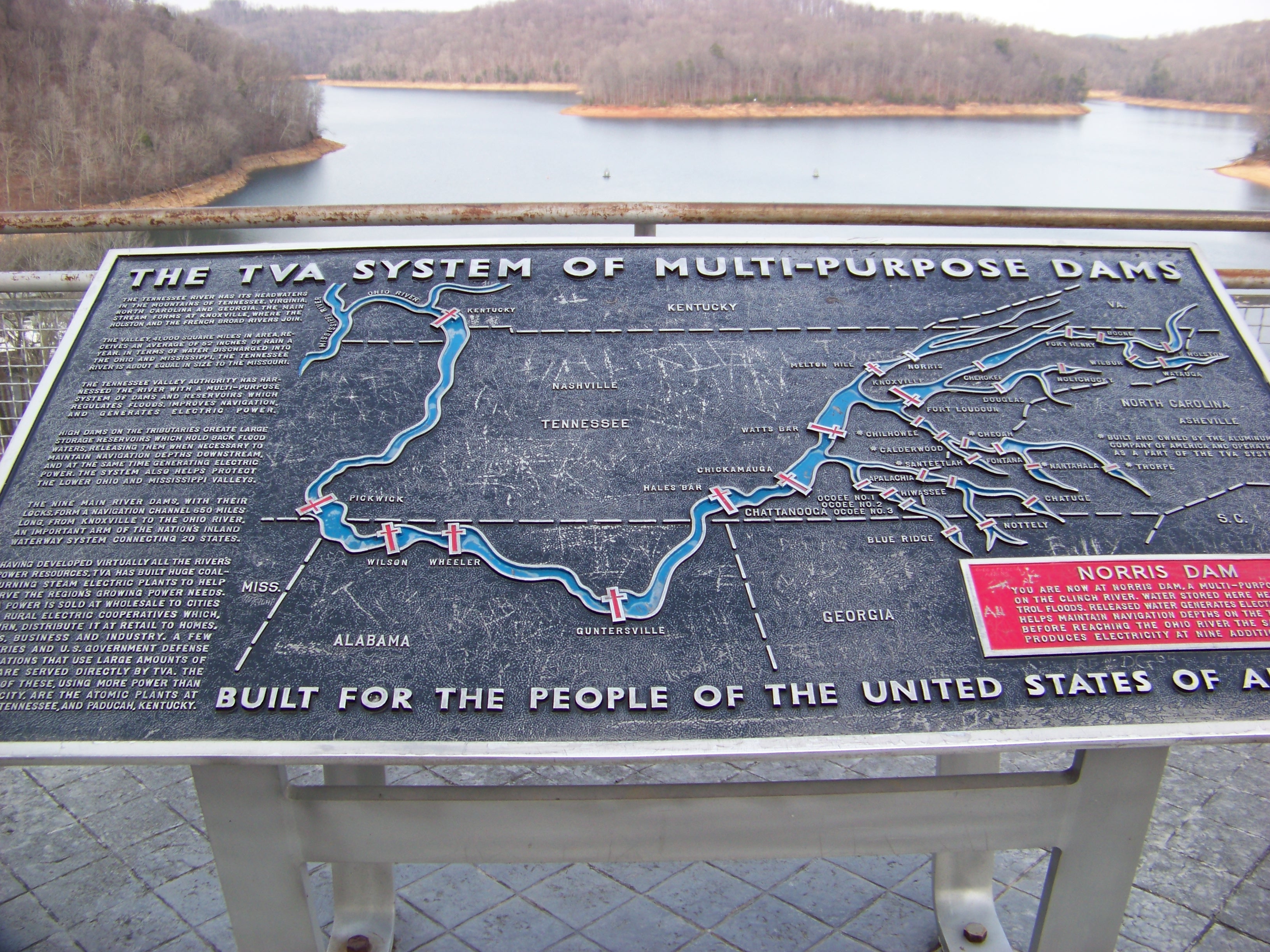
Norris Dam

best dam view

Deck view

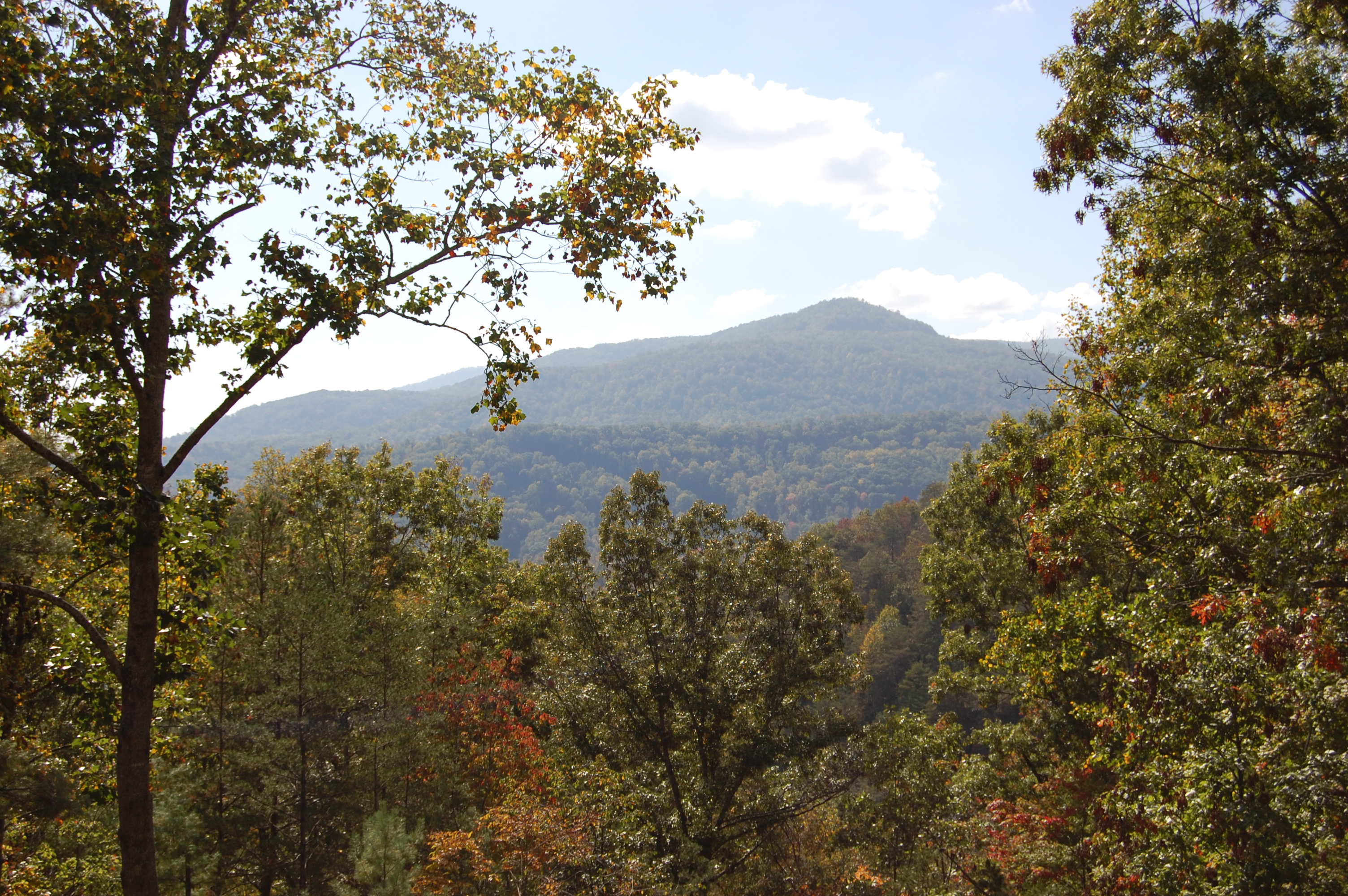
View Towards LaFollette

Black-Eyed Susan, Rudbeckia 124_2411.jpg

Campbell County TN Courthouse 1
The View from the Tasting Room

Panoramic View of Loyston
view from the top

18-256P

View from the deck

Campbell County TN Courthouse 4
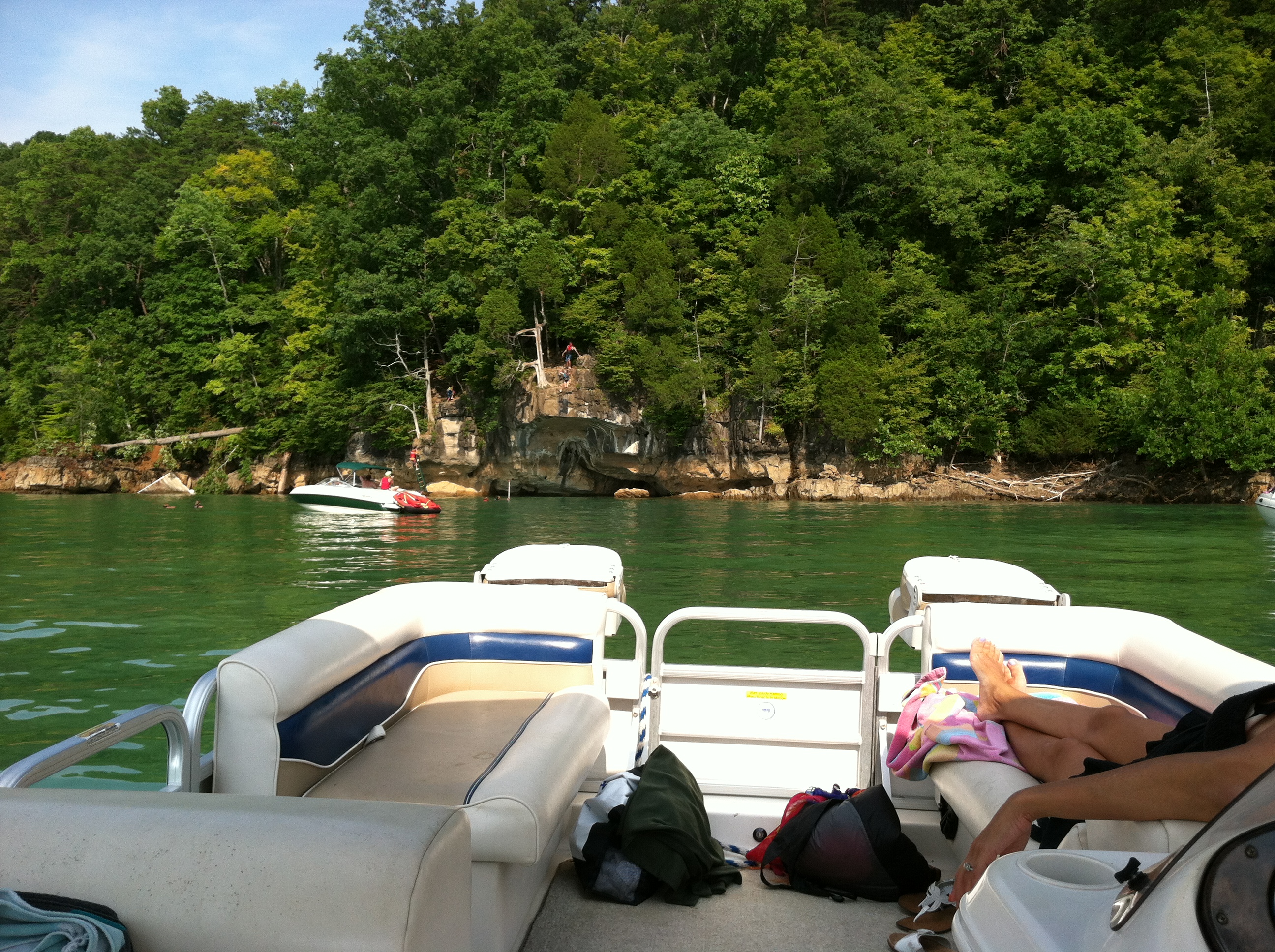
view from the boat
Norris Dam State Park Tenn.

Cove Lake observation platform

Norris Dam

Norris Dam

Rice Mill

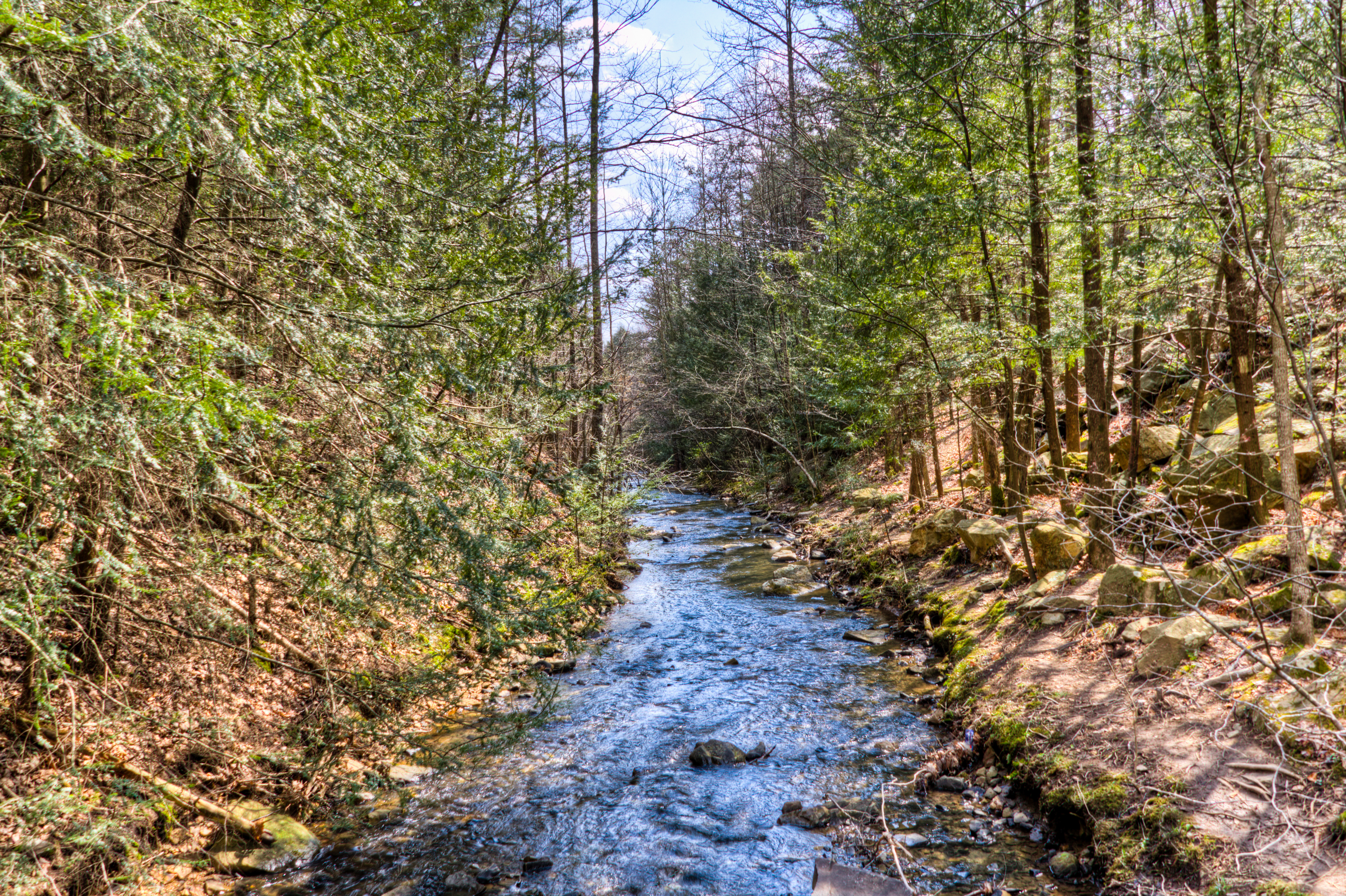
Bruce Creek

Norris Through the Trees

Green Water, Blue Skies

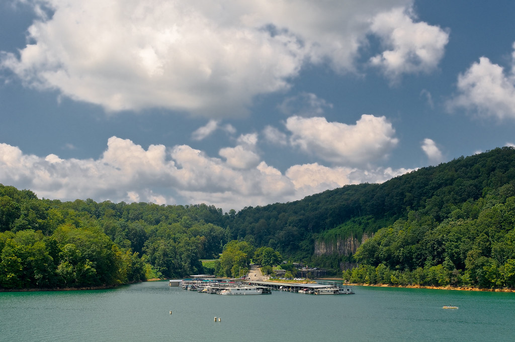
Norris Lake

Norris Dam State Park

Cove Lake State Park

let the waters tell the story

early fall campers 9-29-07

Island on the Lake

Norris Resevoir and Dam

Cumberland Mountain segment of the Cumberland Trail

Boy in the Creek at Norris Grist mill

Swainson's Warbler

Norris Resevoir and Dam, Take Two
Cumberland Mountain segment of the Cumberland Trail

Cumberland Mountain segment of the Cumberland Trail
Norris Dam Marina
Cumberland Mountain segment of the Cumberland Trail
Cumberland Mountain segment of the Cumberland Trail
Topographic Map of Pleasant Ridge Rd, LaFollette, TN, USA
Find elevation by address:

Places near Pleasant Ridge Rd, LaFollette, TN, USA:
2251 Long Hollow Rd
286 Lewis White Ln
542 Young Rd
221 Low Gap Rd
731 Ivey Hollow Rd
1028 Pleasant Ridge Rd
519 Low Gap Rd
586 Low Gap Rd
311 Mariner Point Rd
Loop Rd, LaFollette, TN, USA
377 Shanghai Rd
377 Shanghai Rd
377 Shanghai Rd
377 Shanghai Rd
377 Shanghai Rd
377 Shanghai Rd
377 Shanghai Rd
377 Shanghai Rd
377 Shanghai Rd
377 Shanghai Rd
Recent Searches:
- Elevation of Co Rd 87, Jamestown, CO, USA
- Elevation of Tenjo, Cundinamarca, Colombia
- Elevation of Côte-des-Neiges, Montreal, QC H4A 3J6, Canada
- Elevation of Bobcat Dr, Helena, MT, USA
- Elevation of Zu den Ihlowbergen, Althüttendorf, Germany
- Elevation of Badaber, Peshawar, Khyber Pakhtunkhwa, Pakistan
- Elevation of SE Heron Loop, Lincoln City, OR, USA
- Elevation of Slanický ostrov, 01 Námestovo, Slovakia
- Elevation of Spaceport America, Co Rd A, Truth or Consequences, NM, USA
- Elevation of Warwick, RI, USA