Elevation of Ivey Hollow Rd, LaFollette, TN, USA

Location: United States > Tennessee > Campbell County > Lafollette >

Longitude: -84.059957

Latitude: 36.3680254

Elevation: 421m / 1381feet

Barometric Pressure: 96KPa

Elevation Map:

elevation map of Ivey Hollow Rd, LaFollette, TN, USA

Satellite Map:

Satellite map of Ivey Hollow Rd, LaFollette, TN, USA

Related Photos:

history classic rural vintage photography photo nikon antique tennessee engineering pic oldbuildings historic retro photograph americana courthouse thesouth hdr easttennessee 1926 ruralamerica engineeringasart courtsquare historicbuilding 2015 ingodwetrust smalltownamerica photomatix bracketed jacksboro campbellcounty vintagebuilding ruraltennessee hdrphotomatix ofandbyengineers ruralview fadingamerica hdrimaging retrobuilding uscountycourthouses classicbuilding vanishingamerica jacksborotennessee oldandbeautiful ibeauty historyisallaroundus antiquebuilding campbellcountycourthouse hdraddicted tennesseephotographer structuresofthesouth southernphotography screamofthephotographer hdrvillage engineeringisart jlrphotography photographyforgod worldhdr tennesseehdr d7200 hdrrighthererightnow engineerswithcameras hdrworlds jlramsaurphotography nikond7200 tennesseecountycourthouses americanrelics it’saretroworldafterall jacksborotn campbellcountytncourthouse
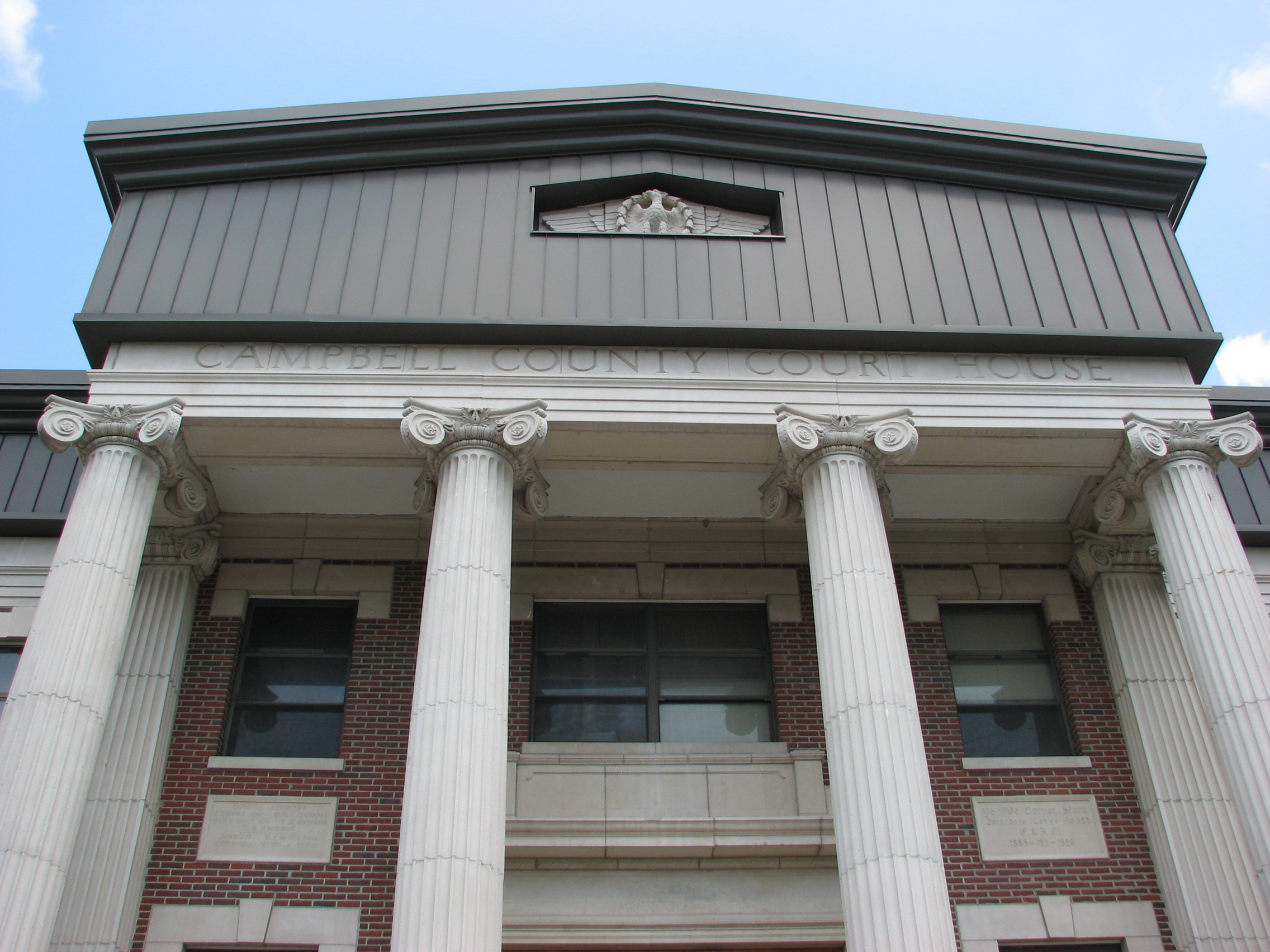
Campbell County, TN Courthouse - Jacksboro, TN
365project 290365 october172013 2013 nikon 2013inphotos d7000 40mm mill norrisdam knoxville tn usa unitedstatesofamerica trees autumn gristmill oldstructure brick wheel nature mothernature orange leaves fall hdr inthewoods picnictable scenic tourism flashfix flashfixphotography
October 17, 2013 | {290:365}
christmas sign restaurant neon tn tennessee christmastree i75 thacker interstate75 campbellcounty us25 caryville us25w bmok christmasinn bmokneon bmokmotel
Thacker Christmas Inn & Restaurant
postcard motelinterior
Lake View Motor Inn, Caryville, TN
best dam view
best dam view
Deck view
outdoors hiking tennessee hike devilsbackbone devilsracetrack cumberlandmountains caryville happybottomhikingclub covelakestatepark cumberlandmountaintrail
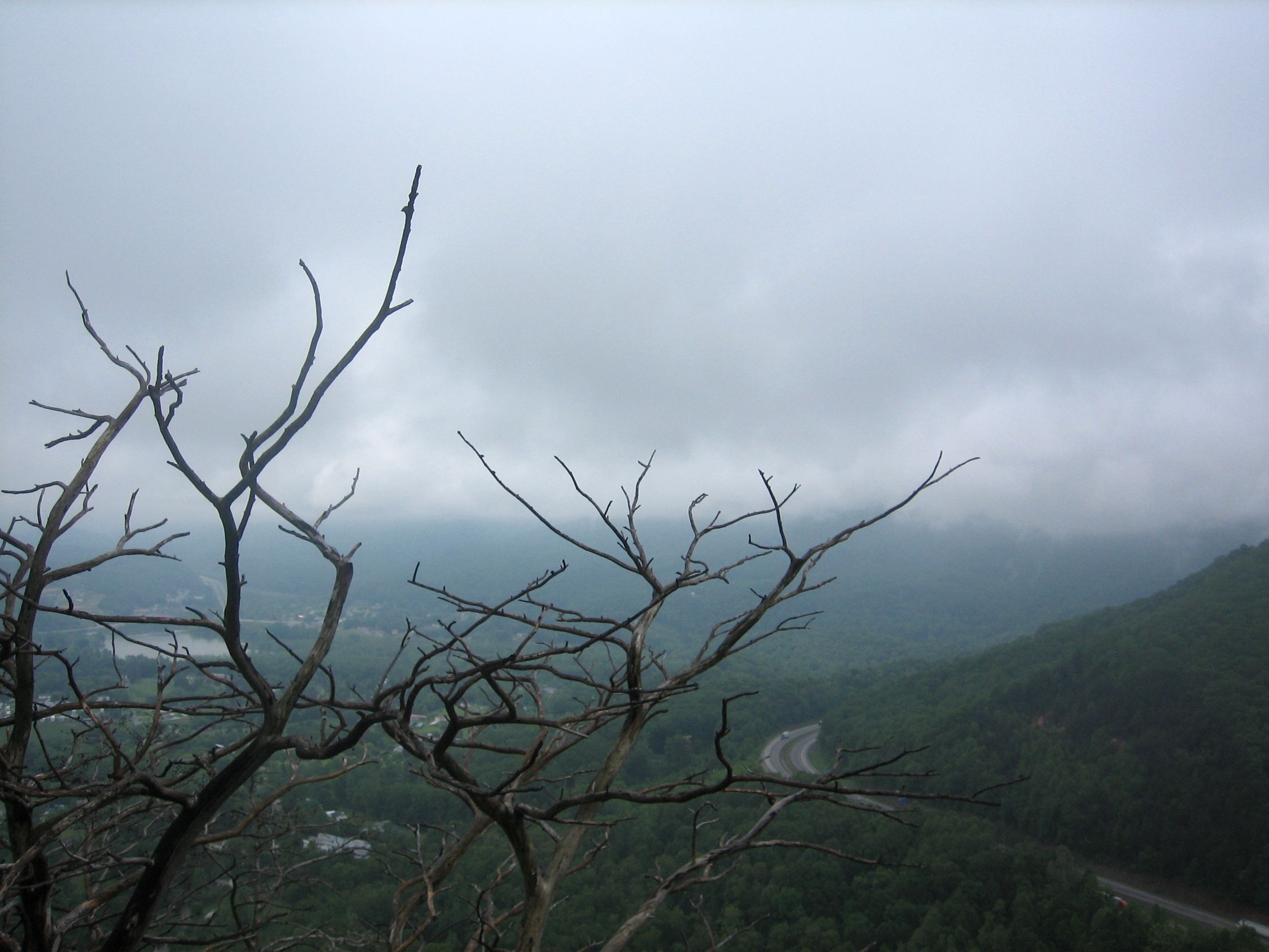
View Towards LaFollette
county mainstreet tn tennessee courthouse campbell jacksboro mappingmainstreet
Campbell County TN Courthouse 1
Panoramic View of Loyston
me fog hiking foggy hike grandpa fred cumberlands cumberlandmountains theparadigmshifter cumberlandtrail cumberlandescarpment
view from the top
18-256P
View from the deck
county mainstreet tn tennessee courthouse campbell jacksboro mappingmainstreet
Campbell County TN Courthouse 4
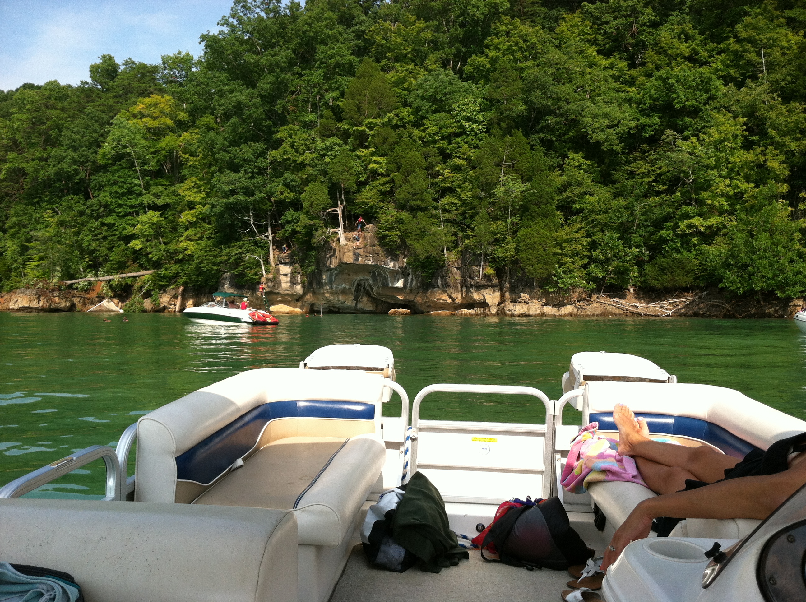
view from the boat
tn tennessee caryville covelakestatepark covelakesp
Cove Lake observation platform
18-257P
square squareformat iphoneography instagramapp uploaded:by=instagram foursquare:venue=4deaab04ae60e989235fc610
After biking the 5.4- mile Loyston Loop, we are enjoying the view + food at Sequoyah Marina!
18-255P
View from the crowd
norrisdamstatepark aaronfuhrman aaronfuhrmanphotography tennesseelandscapephotography
Rice Mill
statepark water river dam tennessee tva norris resevoir clinchriver tennesseevalleyauthority norrisdam norrisdamstatepark
Green Water, Blue Skies
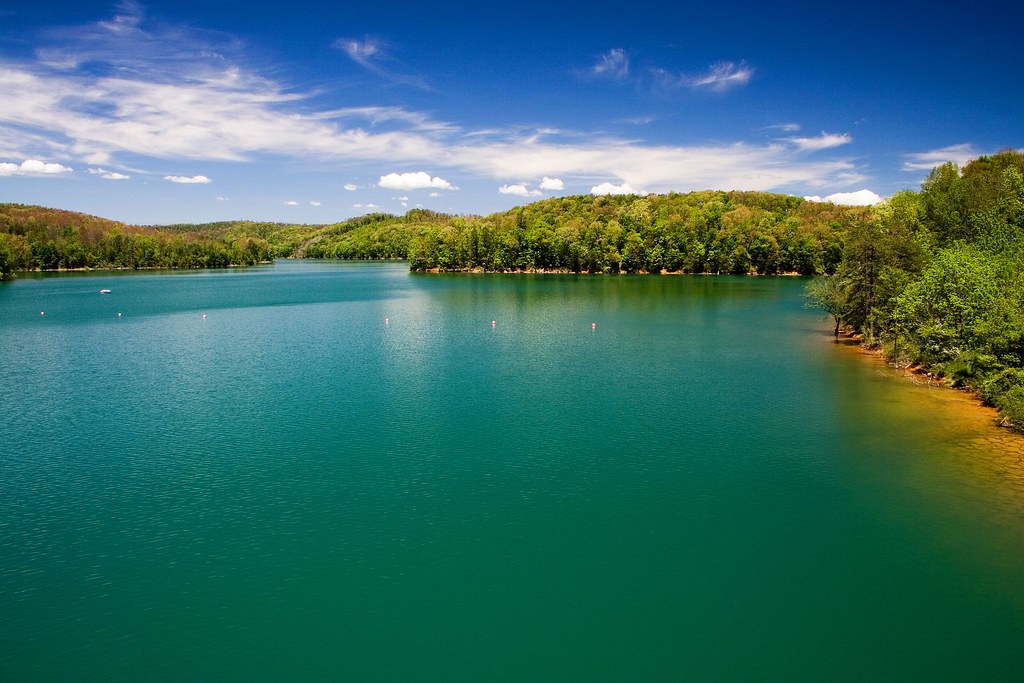
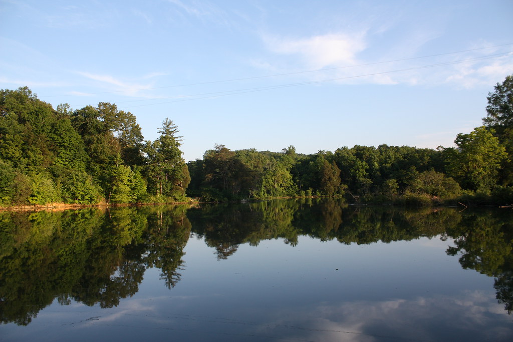
day cloudy posnov
Norris Lake
statepark park tennessee covelake
Cove Lake State Park
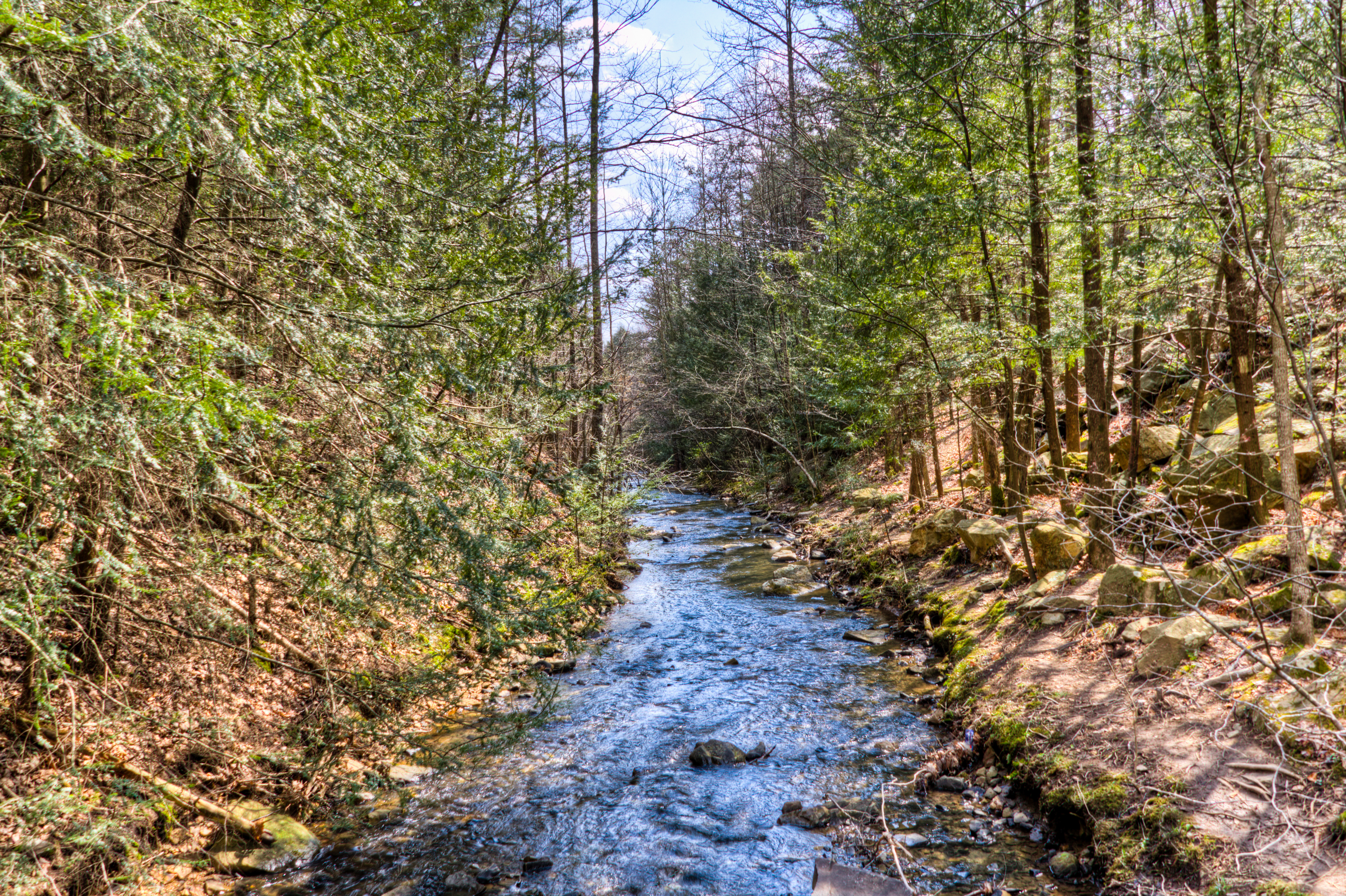
canon river waterfall hiking tennessee f11 ef24105mmf4lisusm brucecreek canoneos1dx
Bruce Creek
trees mist reflection green nature water fog landscape tennessee norrislake
let the waters tell the story
tree tennessee tent camper tbg jacksboro
early fall campers 9-29-07
trees lake nature water fog clouds landscape island moody tennessee relaxing peaceful overcast norris placid
Island on the Lake
usa geotagged unitedstates tennessee silica jacksboro lafollette cumberlandtrail tennesseestateparks cumberlandmountainstatepark ivydell geo:lat=3632972358 geo:lon=8422639407 eaglebluffsection
Cumberland Mountain segment of the Cumberland Trail
swainsonswarbler
Swainson's Warbler
usa geotagged unitedstates tennessee silica jacksboro lafollette cumberlandtrail tennesseestateparks cumberlandmountainstatepark ivydell geo:lat=3632967317 geo:lon=8422630633 eaglebluffsection
Cumberland Mountain segment of the Cumberland Trail
usa geotagged unitedstates tennessee silica jacksboro lafollette cumberlandtrail tennesseestateparks cumberlandmountainstatepark ivydell geo:lat=3632970477 geo:lon=8422640018 eaglebluffsection
Cumberland Mountain segment of the Cumberland Trail
usa geotagged waterfall unitedstates tennessee waterfalls silica lafollette cumberlandtrail tennesseestateparks caryville cumberlandmountainstatepark ivydell geo:lat=3632953750 geo:lon=8422644465 eaglebluffsection
Cumberland Mountain segment of the Cumberland Trail
usa geotagged unitedstates tennessee silica jacksboro lafollette cumberlandtrail tennesseestateparks cumberlandmountainstatepark ivydell geo:lat=3633104513 geo:lon=8422639800 eaglebluffsection
Cumberland Mountain segment of the Cumberland Trail
usa geotagged unitedstates tennessee silica jacksboro lafollette cumberlandtrail tennesseestateparks cumberlandmountainstatepark ivydell geo:lat=3632964613 geo:lon=8422636543 eaglebluffsection
Cumberland Mountain segment of the Cumberland Trail
trees sky lake green nature clouds landscape moody dam tennessee flag grunge norris
Norris Dam
trees lake green nature water forest landscape woods tennessee cover valley norrislake lakenorris ibeauty lastcove
Last Cove
waterfall time lapse d7000
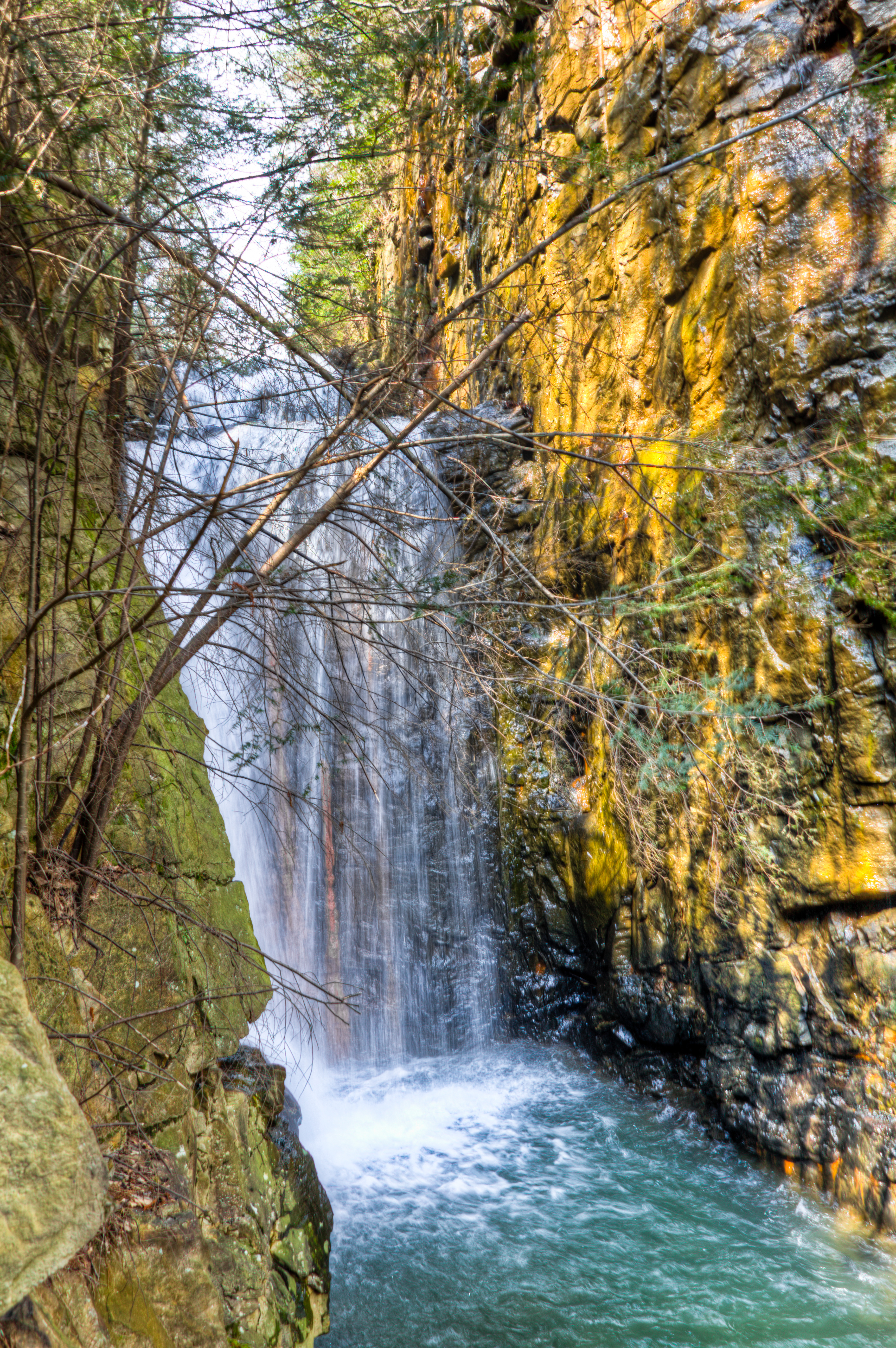
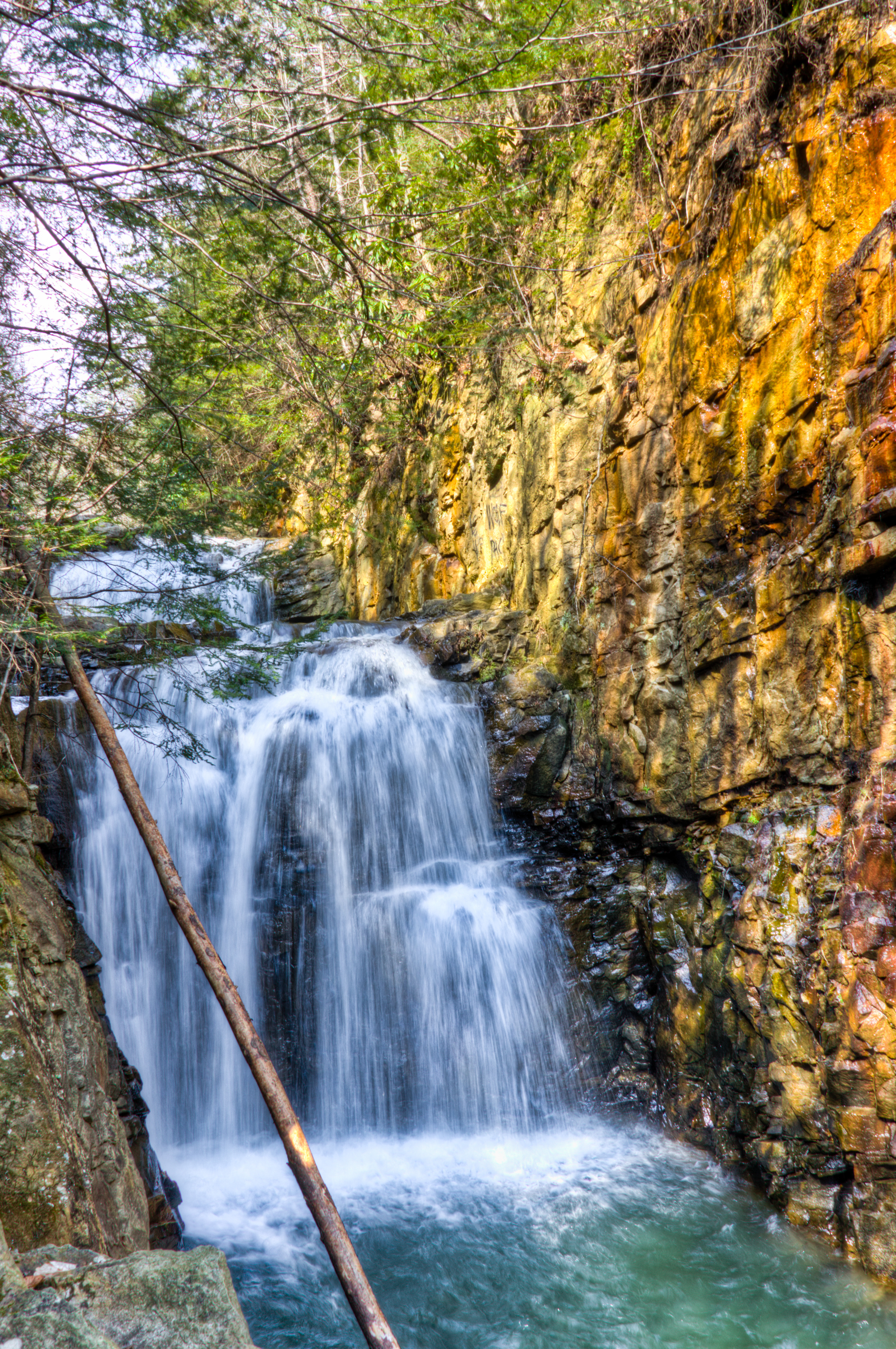
Bruce Falls in motion
outdoors hiking tennessee hike devilsbackbone devilsracetrack cumberlandmountains caryville happybottomhikingclub covelakestatepark cumberlandmountaintrail
I-75 & the Cumberland Mountains
lake reflection nature photography pretty ray tn cove tennessee reflexions atom coth caryville darthangi atomrayphotography
Cove Lake, TN
usa geotagged unitedstates tennessee silica jacksboro lafollette cumberlandtrail tennesseestateparks cumberlandmountainstatepark ivydell geo:lat=3632723027 geo:lon=8422529855 eaglebluffsection
Cumberland Mountain segment of the Cumberland Trail