Elevation of Plattsburg Rd, Noxapater, MS, USA
Location: United States > Mississippi > Winston County > Noxapater >
Longitude: -89.192288
Latitude: 32.9446056
Elevation: 169m / 554feet
Barometric Pressure: 99KPa
Elevation Map:
Satellite Map:
Related Photos:
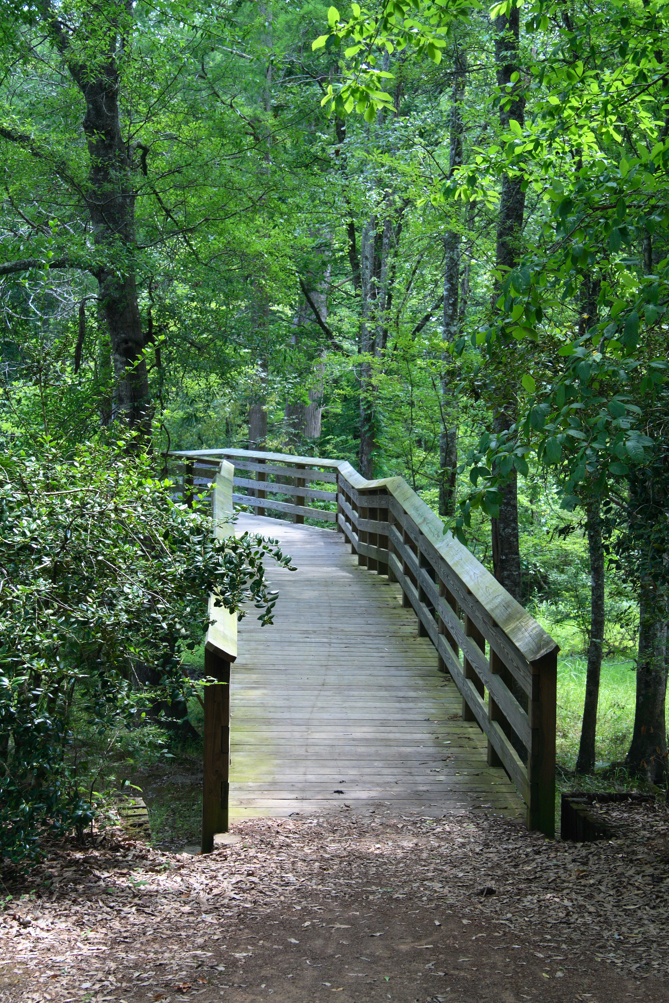
Burnside Park
Burnside Park

vorfreude.

Star Trails - #0141-0198
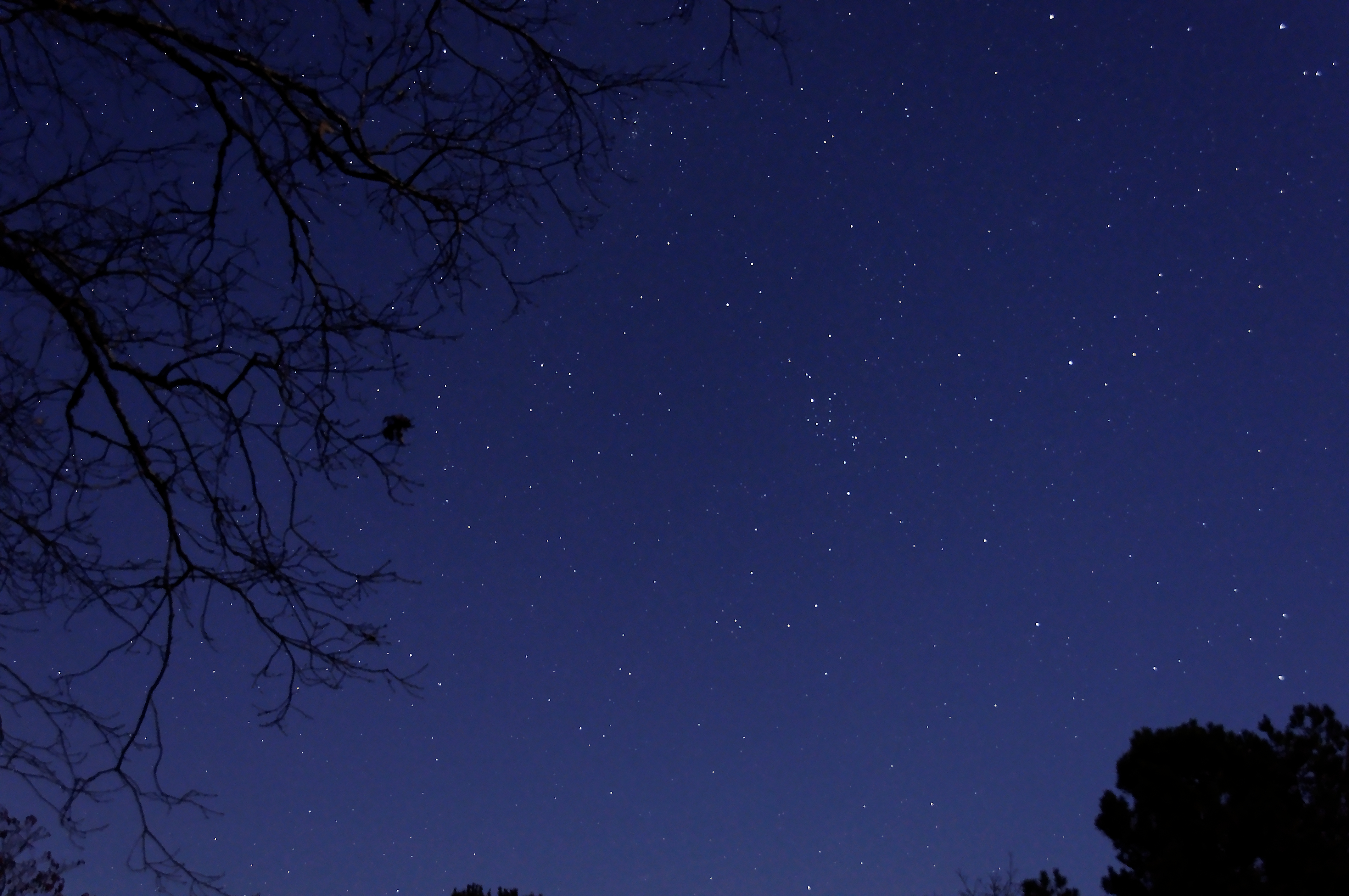
The Stars at Night - #9613
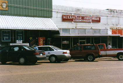
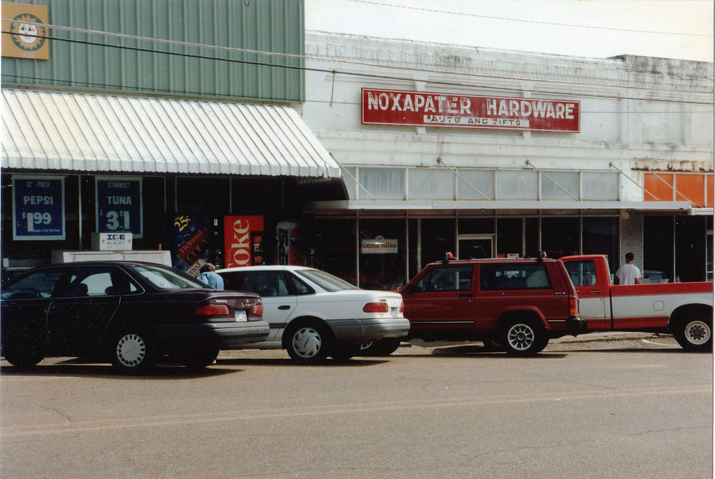
Noxapater, MS
Cypress Roots - #9813
50 States: Mississippi
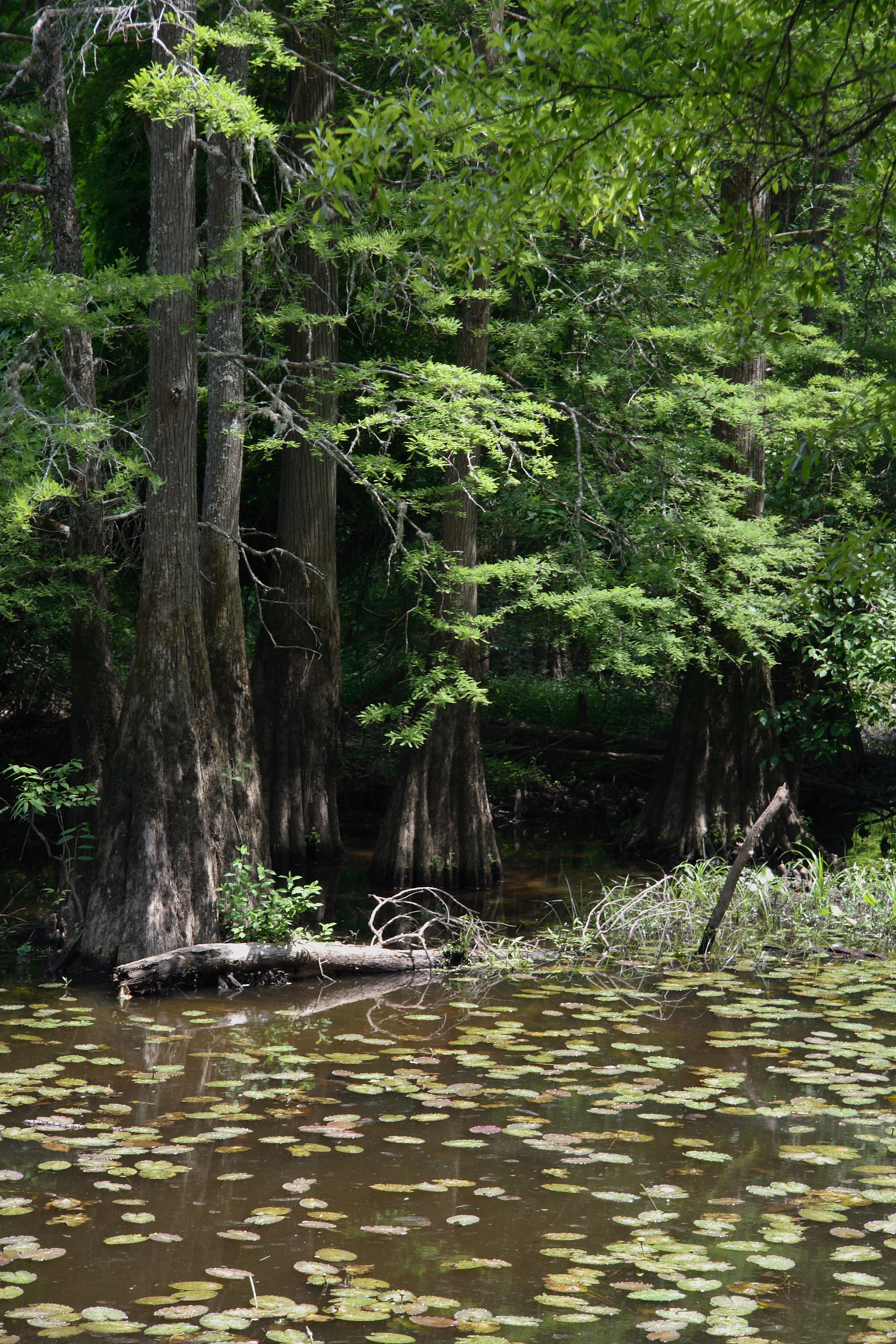
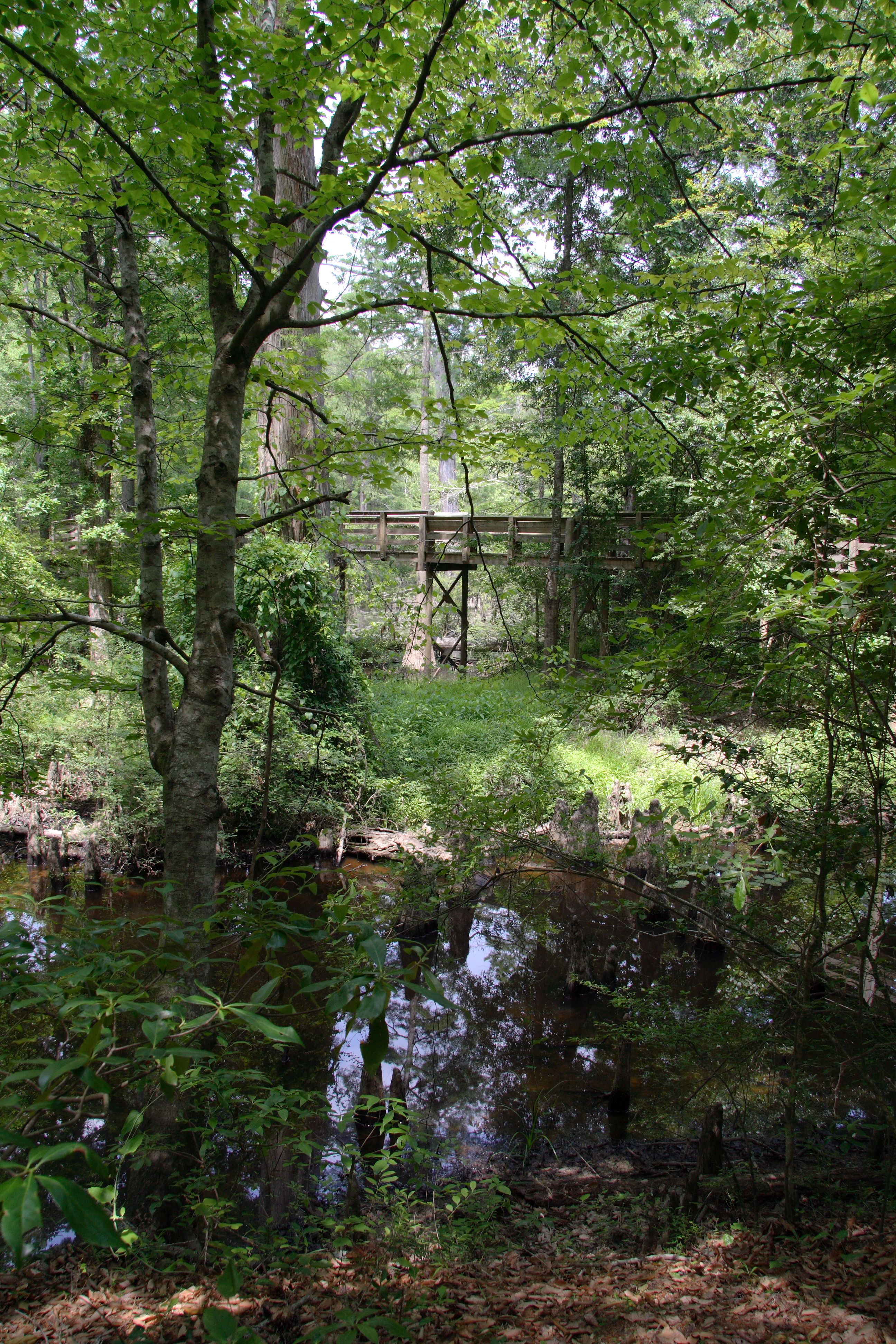
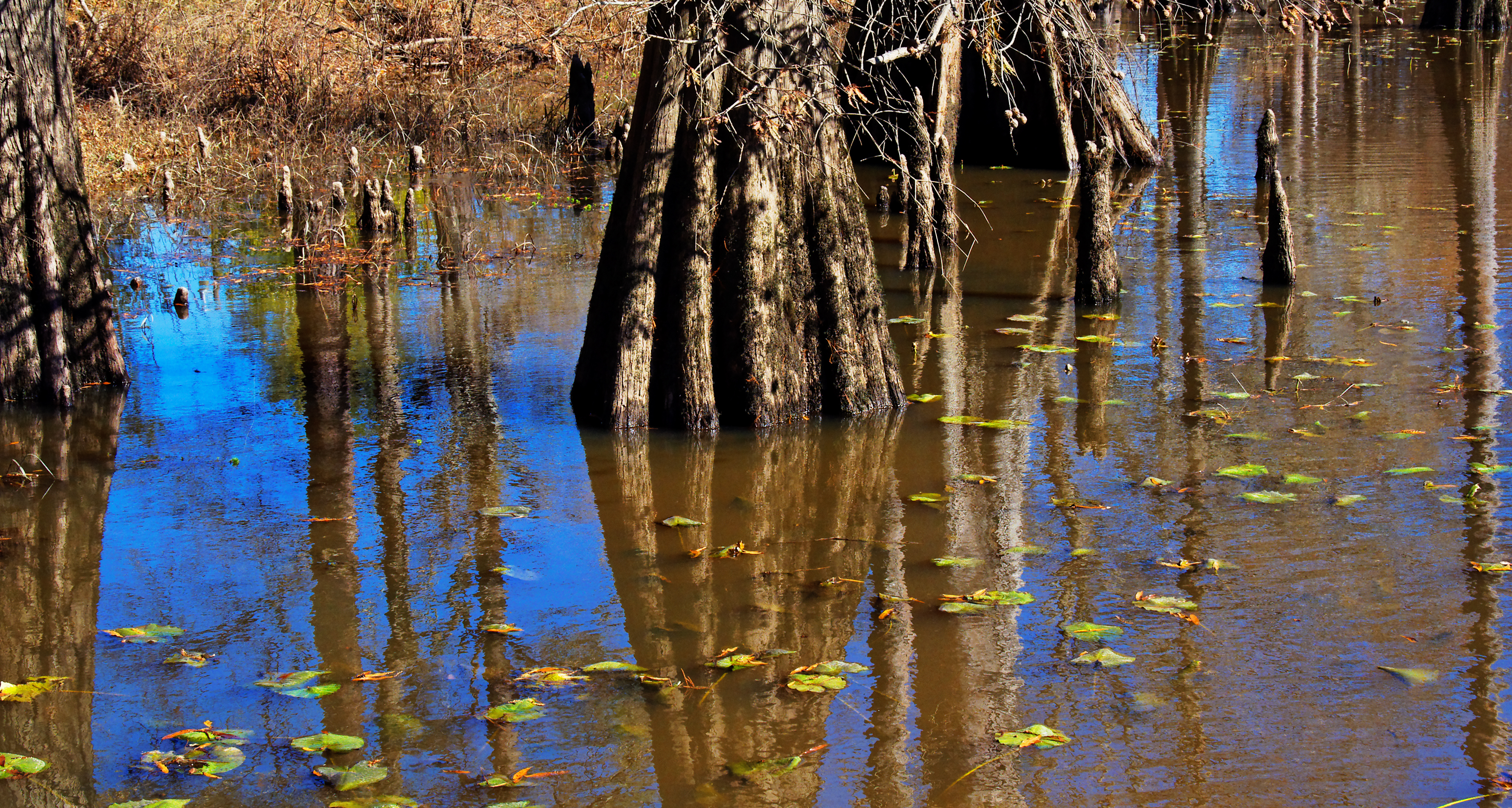
Burnside Lake
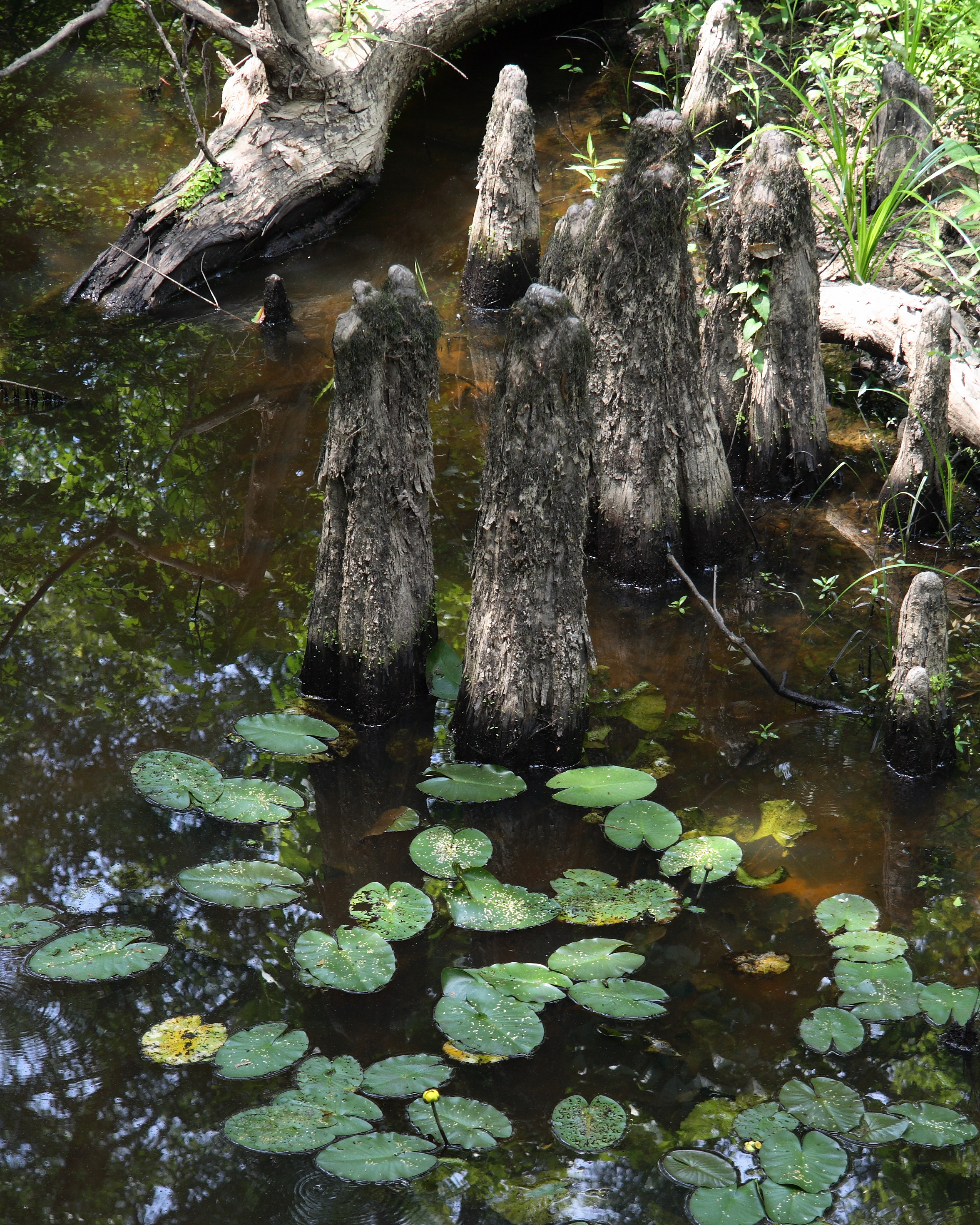
Cypress knees

Dappled ground

Dappled sky
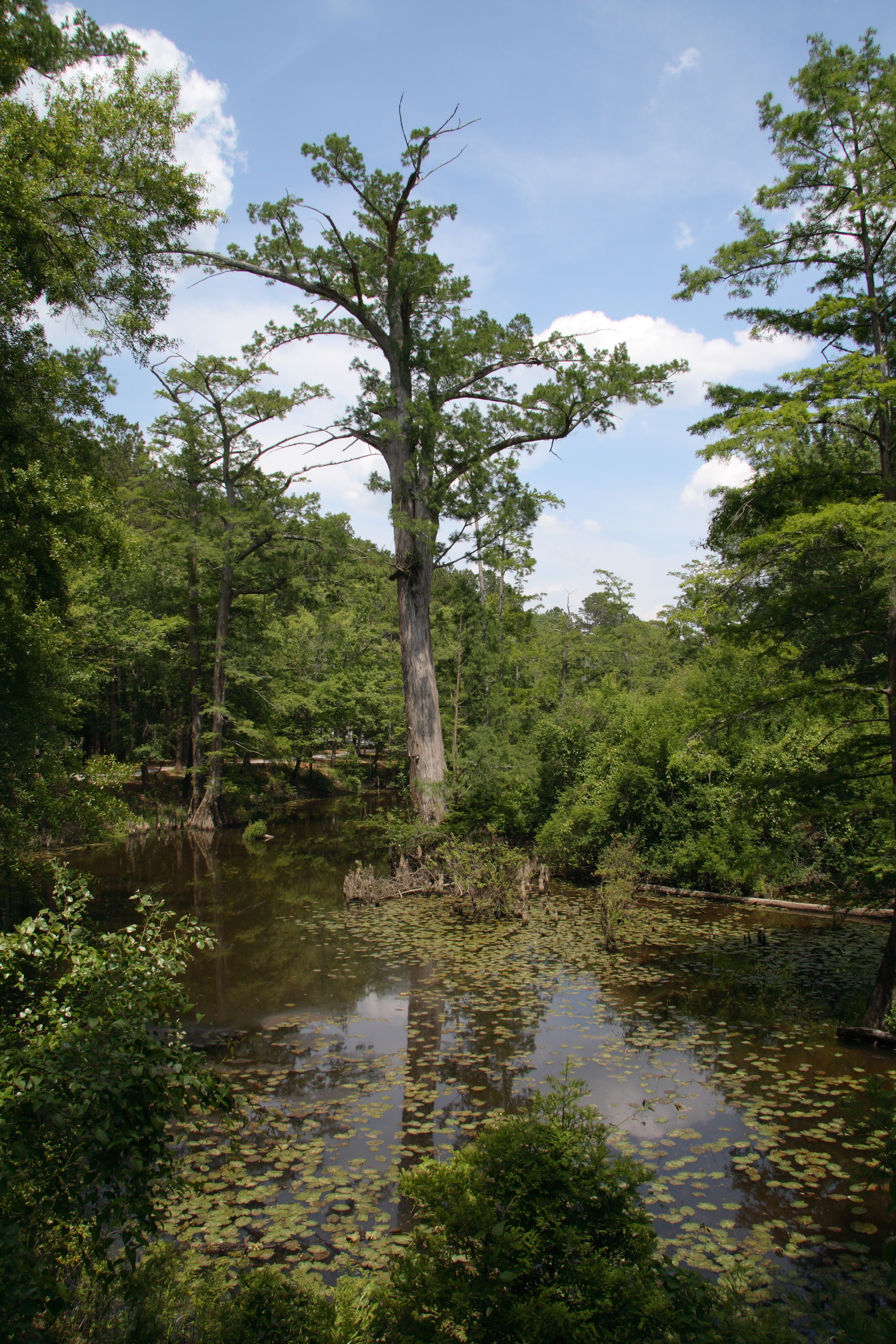
Burnside Lake
Topographic Map of Plattsburg Rd, Noxapater, MS, USA
Find elevation by address:

Places near Plattsburg Rd, Noxapater, MS, USA:
Choctaw
Noxapater
Neshoba County
Golden Moon Casino Resort
Philadelphia
Co Rd, Philadelphia, MS, USA
Miller Rd, Carthage, MS, USA
Co Rd, Philadelphia, MS, USA
Fentress-Panhandle Rd, McCool, MS, USA
MS-15, Philadelphia, MS, USA
Louisville
Jerry's Flowers & Gifts
Highpoint-Weir Rd, Louisville, MS, USA
Coosa Rd, Carthage, MS, USA
Mills Ln, Carthage, MS, USA
Ethel, MS, USA
MS-16, Carthage, MS, USA
Winston County
MS-, McCool, MS, USA
Mccool
Recent Searches:
- Elevation of Sandia Derby Estates, Tijeras, NM, USA
- Elevation of 23 Sunrise View Ct, Tijeras, NM, USA
- Elevation of Lytham Ln, Katy, TX, USA
- Elevation of Tater Hill, Oklahoma, USA
- Elevation of NY-, Friendship, NY, USA
- Elevation of 64 Danakas Dr, Winnipeg, MB R2C 5N7, Canada
- Elevation of 4 Vale Rd, Sheffield S3 9QX, UK
- Elevation of Keene Point Drive, Keene Point Dr, Grant, AL, USA
- Elevation of State St, Zanesville, OH, USA
- Elevation of Austin Stone Dr, Haslet, TX, USA