Elevation of Ethel, MS, USA
Location: United States > Mississippi > Attala County >
Longitude: -89.417464
Latitude: 33.1000508
Elevation: 163m / 535feet
Barometric Pressure: 99KPa
Elevation Map:
Satellite Map:
Related Photos:
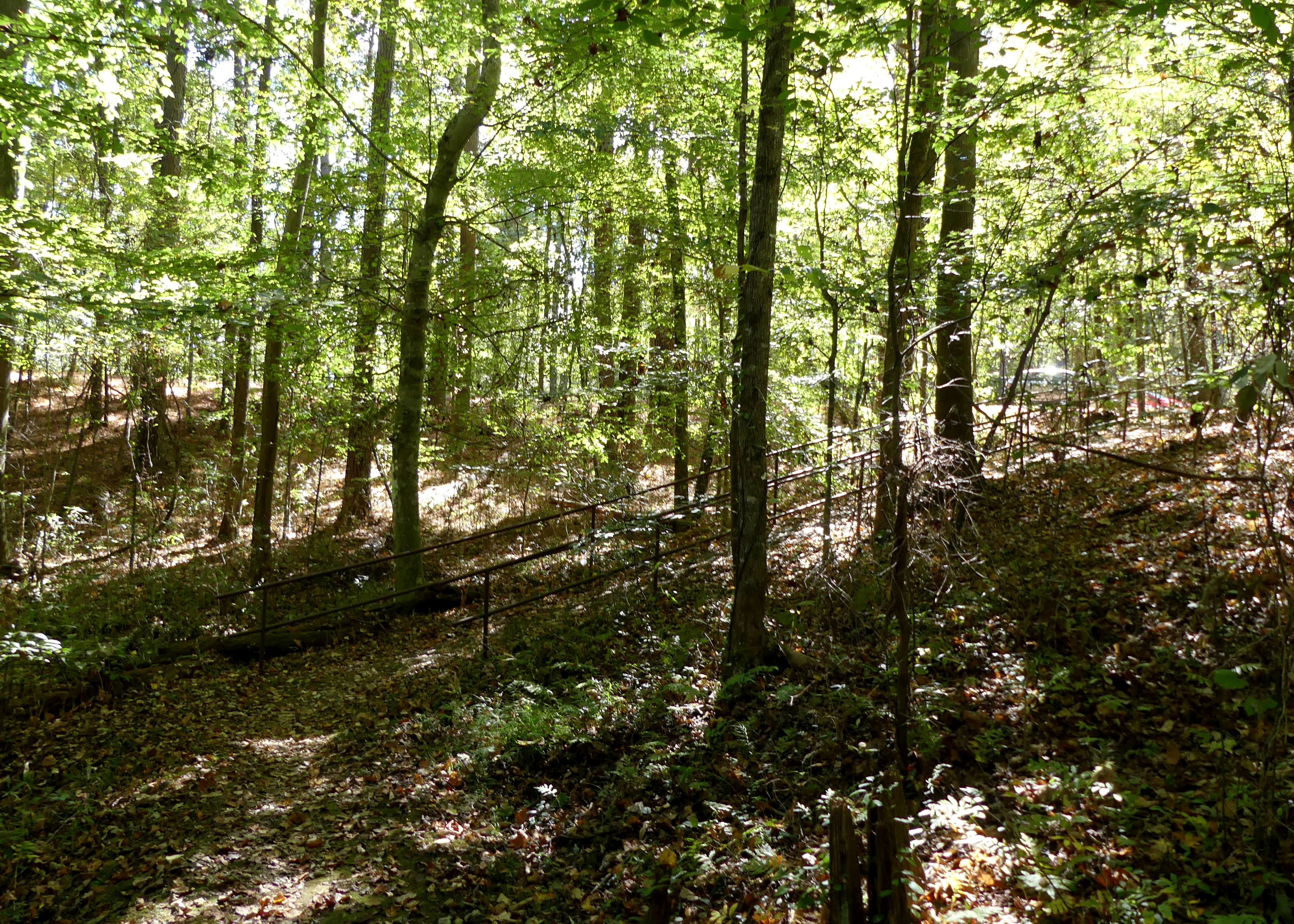
Day 8: Natchez Trace Parkway

Day 8: Natchez Trace Parkway

Day 8: Natchez Trace Parkway

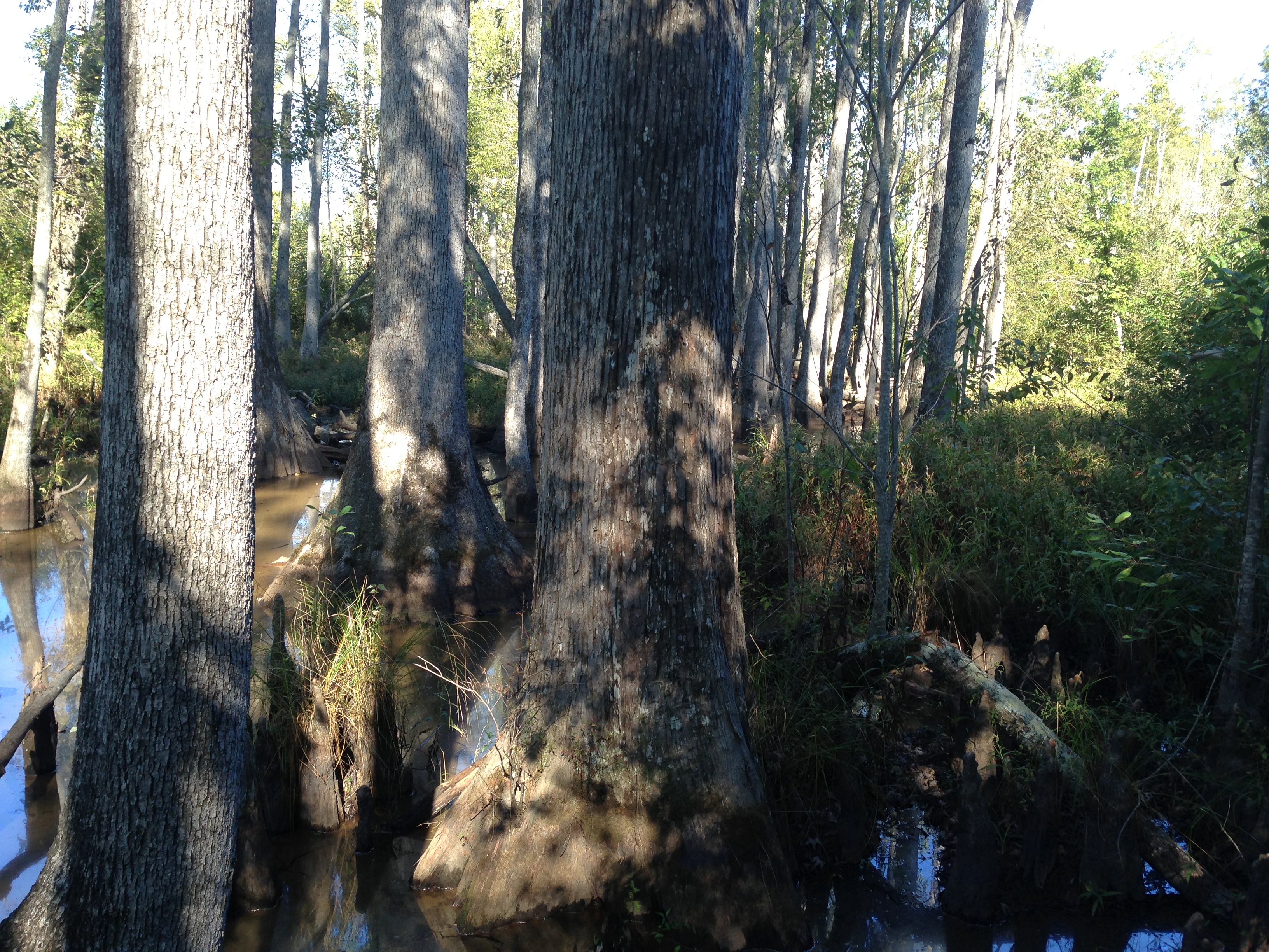
Natchez Trace

Natchez Trace

Natchez Trace

Natchez Trace

Natchez Trace

Natchez Trace
Natchez Trace

Natchez Trace

Natchez Trace

Natchez Trace
Topographic Map of Ethel, MS, USA
Find elevation by address:

Places near Ethel, MS, USA:
MS-, McCool, MS, USA
Mccool
Fentress-Panhandle Rd, McCool, MS, USA
MS-43, Kosciusko, MS, USA
Attala Co-op
Kosciusko
First United Methodist Church Kosciusko
Mills Ln, Carthage, MS, USA
French Camp
110 Ms-413
Weir
Attala County
Mississippi 413
26529 Ms-19
Coosa Rd, Carthage, MS, USA
Natchez St, Kosciusko, MS, USA
Co Rd, Kosciusko, MS, USA
Plattsburg Rd, Noxapater, MS, USA
Highpoint-Weir Rd, Louisville, MS, USA
MS-12, Ackerman, MS, USA
Recent Searches:
- Elevation of Dog Leg Dr, Minden, NV, USA
- Elevation of Dog Leg Dr, Minden, NV, USA
- Elevation of Kambingan Sa Pansol Atbp., Purok 7 Pansol, Candaba, Pampanga, Philippines
- Elevation of Pinewood Dr, New Bern, NC, USA
- Elevation of Mountain View, CA, USA
- Elevation of Foligno, Province of Perugia, Italy
- Elevation of Blauwestad, Netherlands
- Elevation of Bella Terra Blvd, Estero, FL, USA
- Elevation of Estates Loop, Priest River, ID, USA
- Elevation of Woodland Oak Pl, Thousand Oaks, CA, USA