Elevation of Pintail Drive, Pintail Dr, Parsonsburg, MD, USA
Location: United States > Maryland > Wicomico County > 5, Parsons >
Longitude: -75.473692
Latitude: 38.4096913
Elevation: 22m / 72feet
Barometric Pressure: 101KPa
Elevation Map:
Satellite Map:
Related Photos:

Only God can make a tree

Park Foliage
riverside dr salisbury
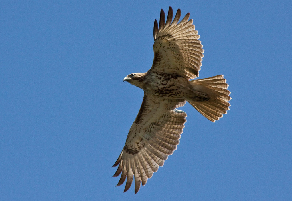
Juvenile RTH

Park IR

The Path To The Infrarealm
bw version
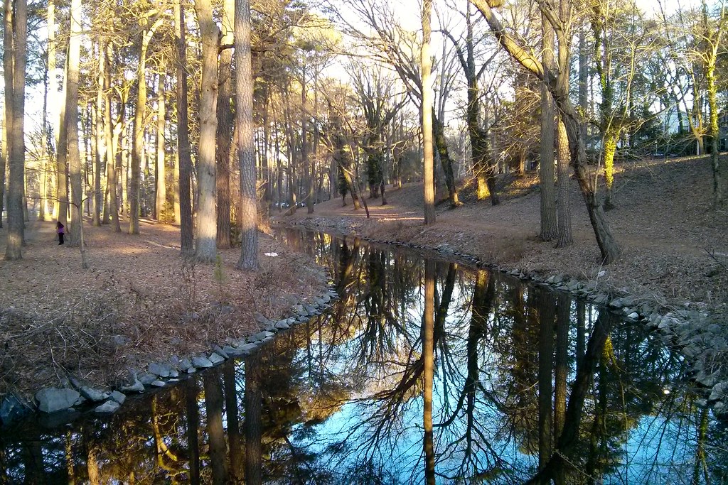
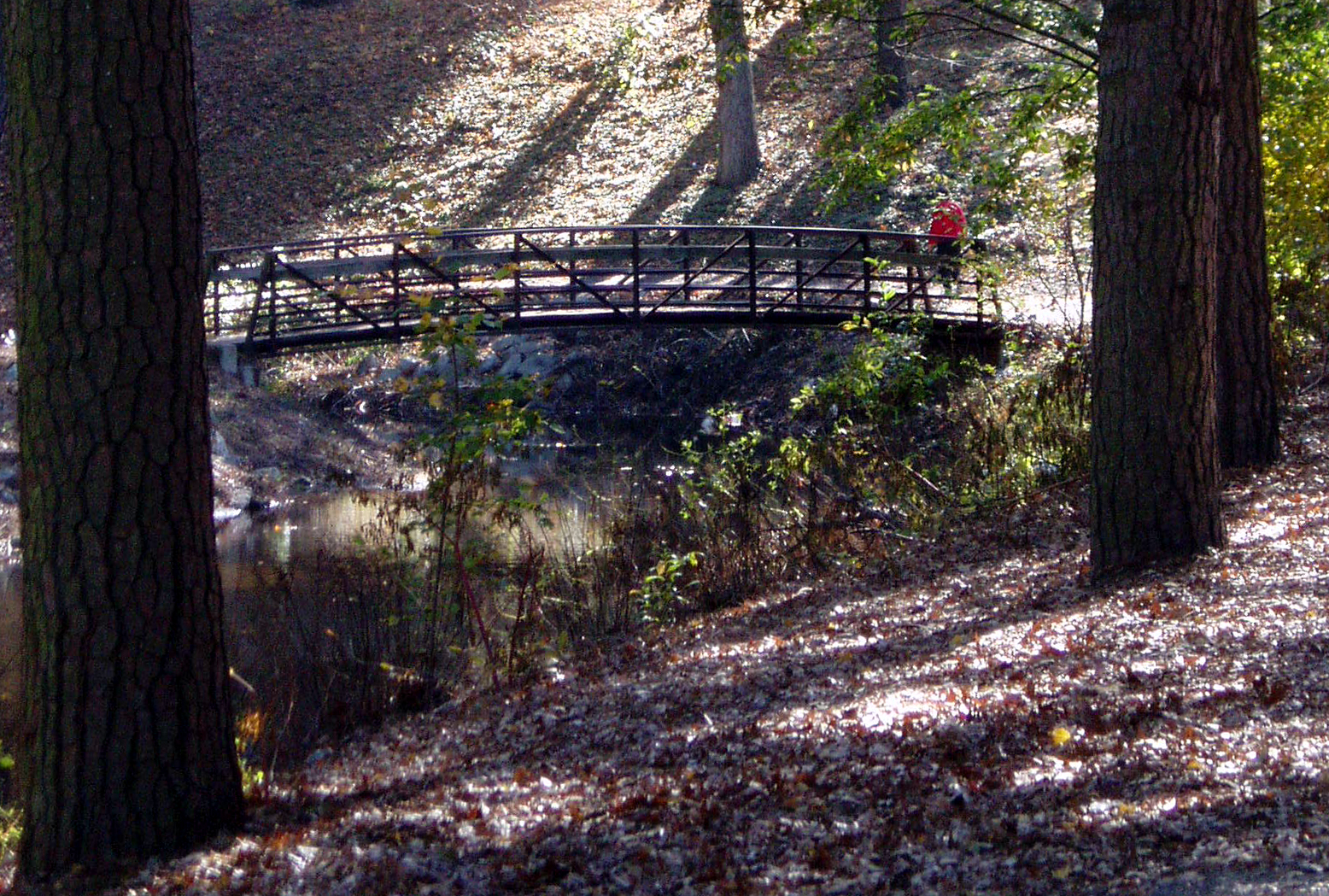
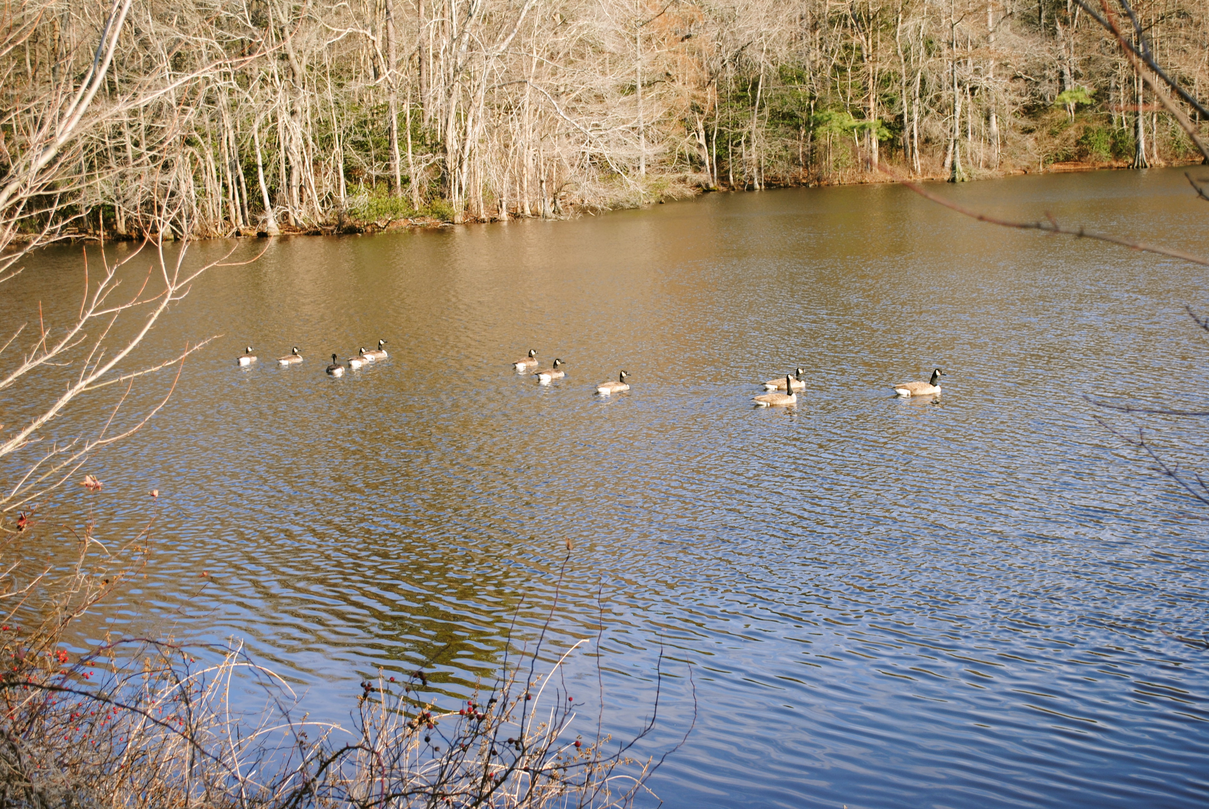
Stream view from a footbridge
Salisbury, MD
Foggy dawn, Camden Ave., Salisbury

Salisbury City Park
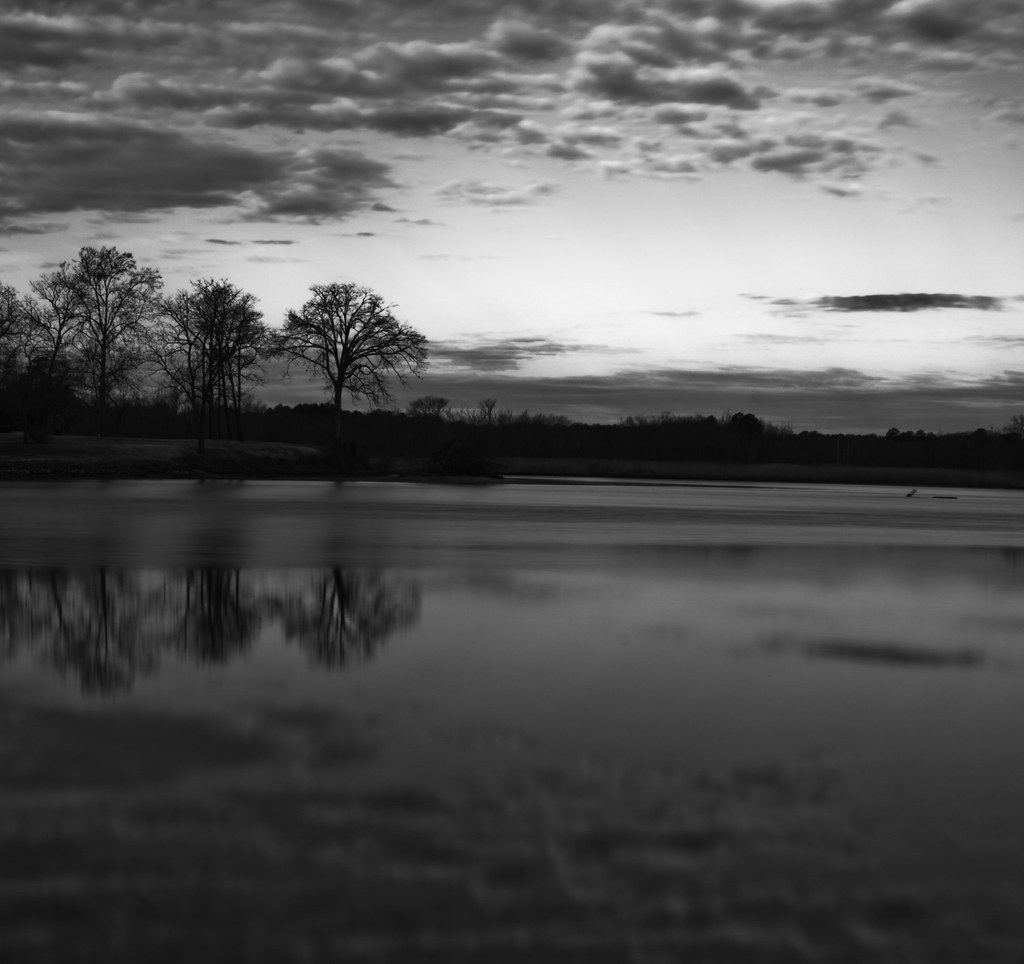
The Blueblack Cold

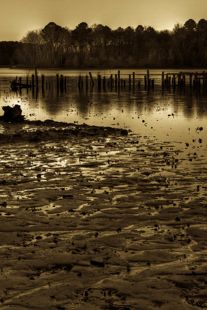
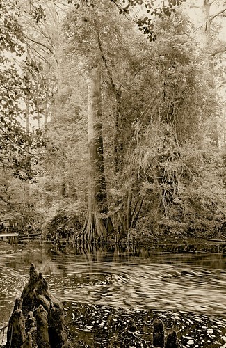
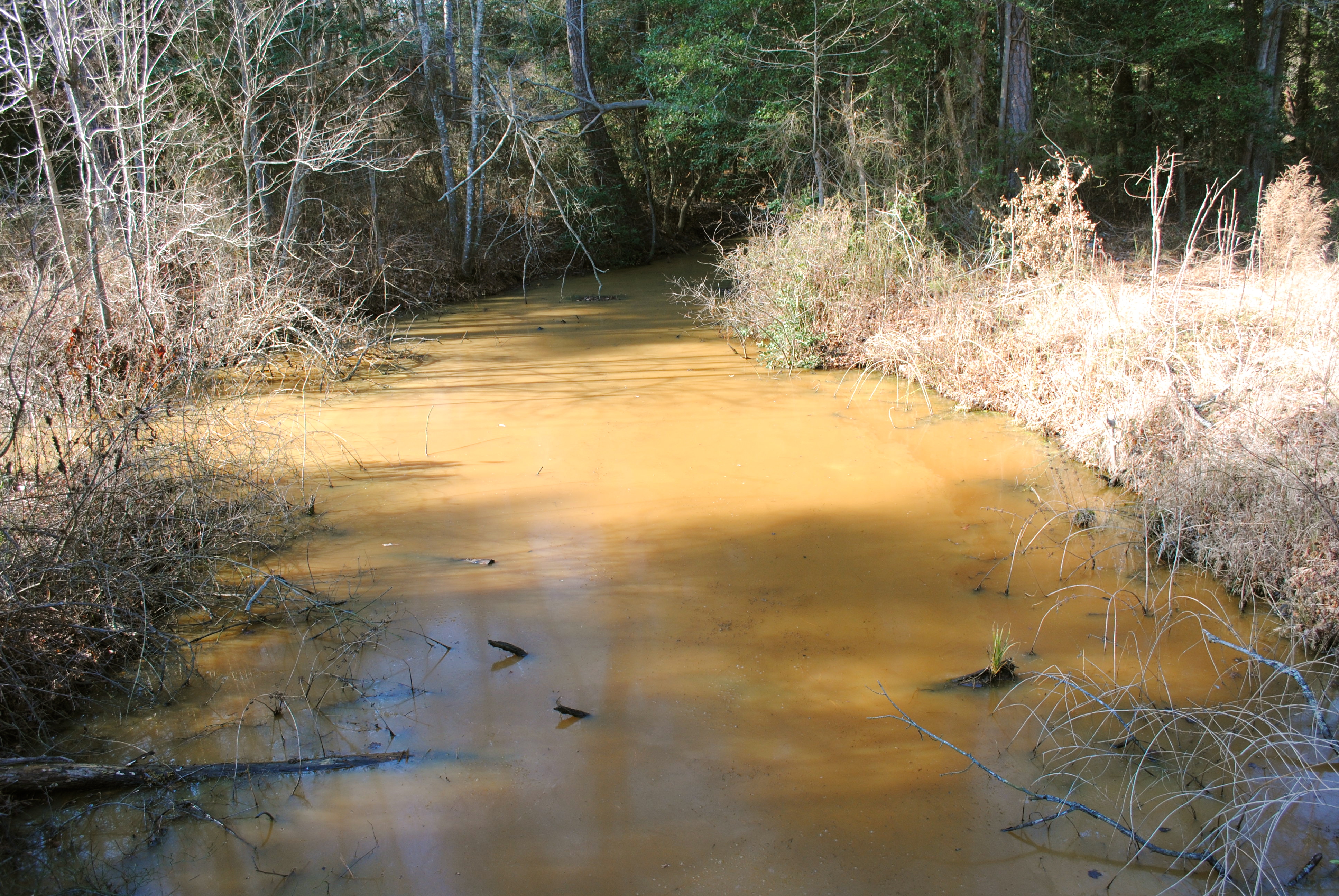
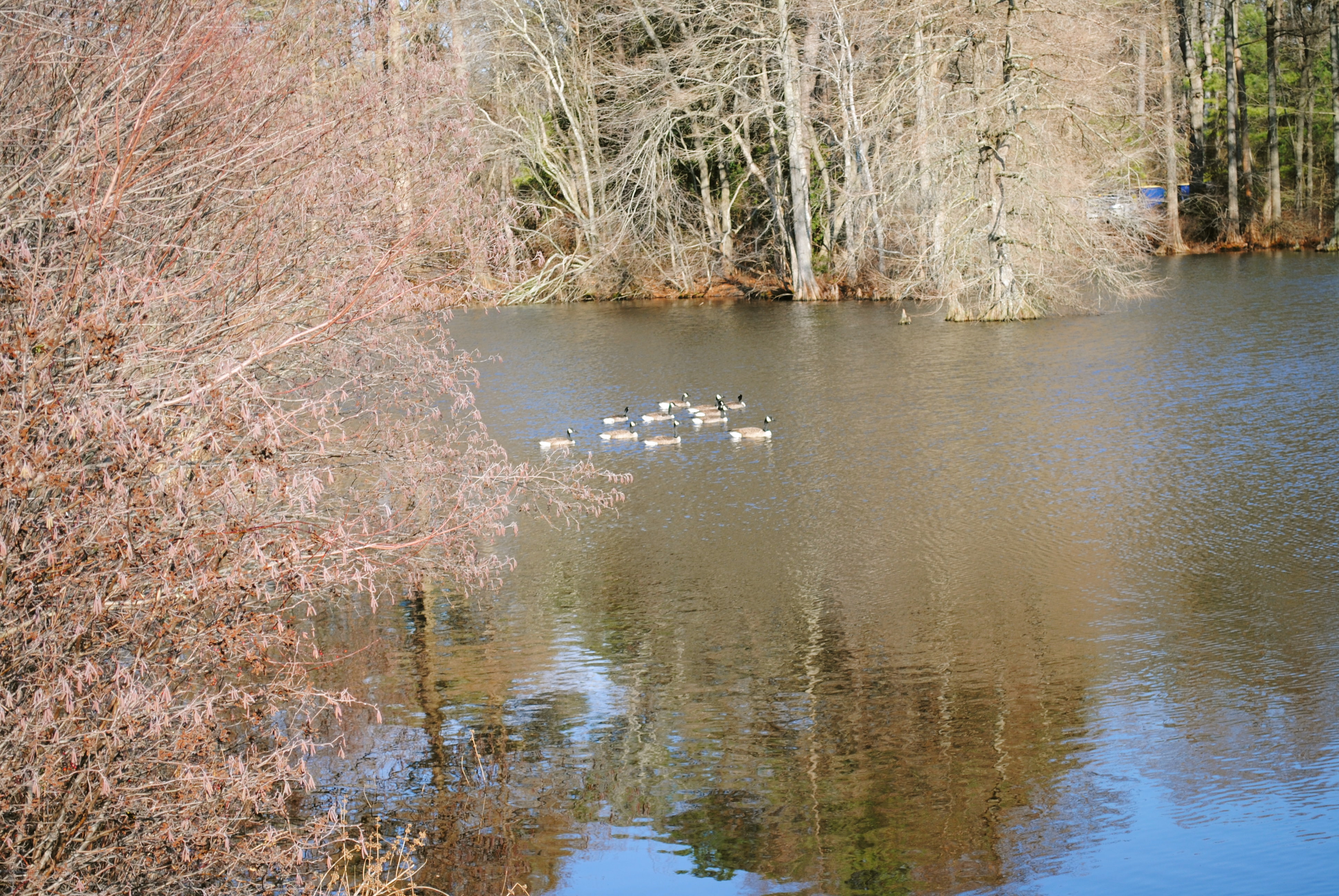
Wicomico River, East Prong
Almost B&W
Trees of Trussum - Taken near Trussom Pond and Trap Pond State Park in Laurel, DE
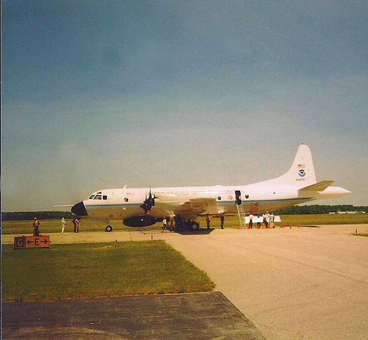
NOAA Hurricane Hunter Airplane

Stream view from a footbridge
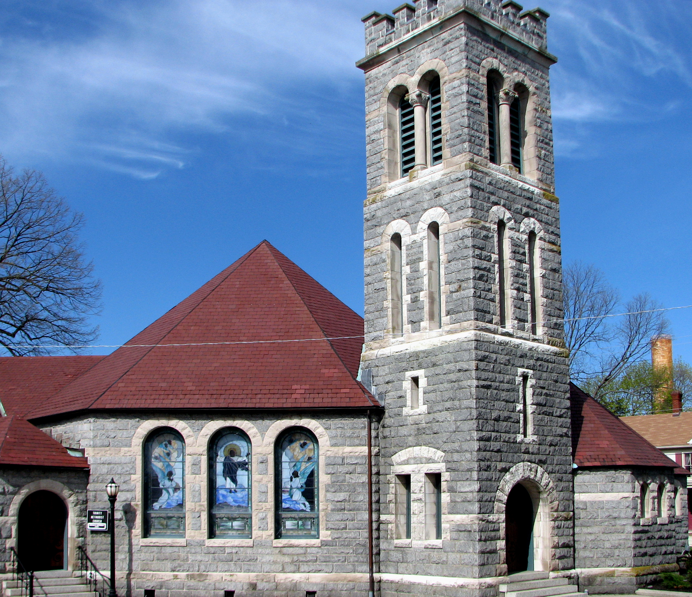
Trinity U.M. Church, Salisbury, Maryland
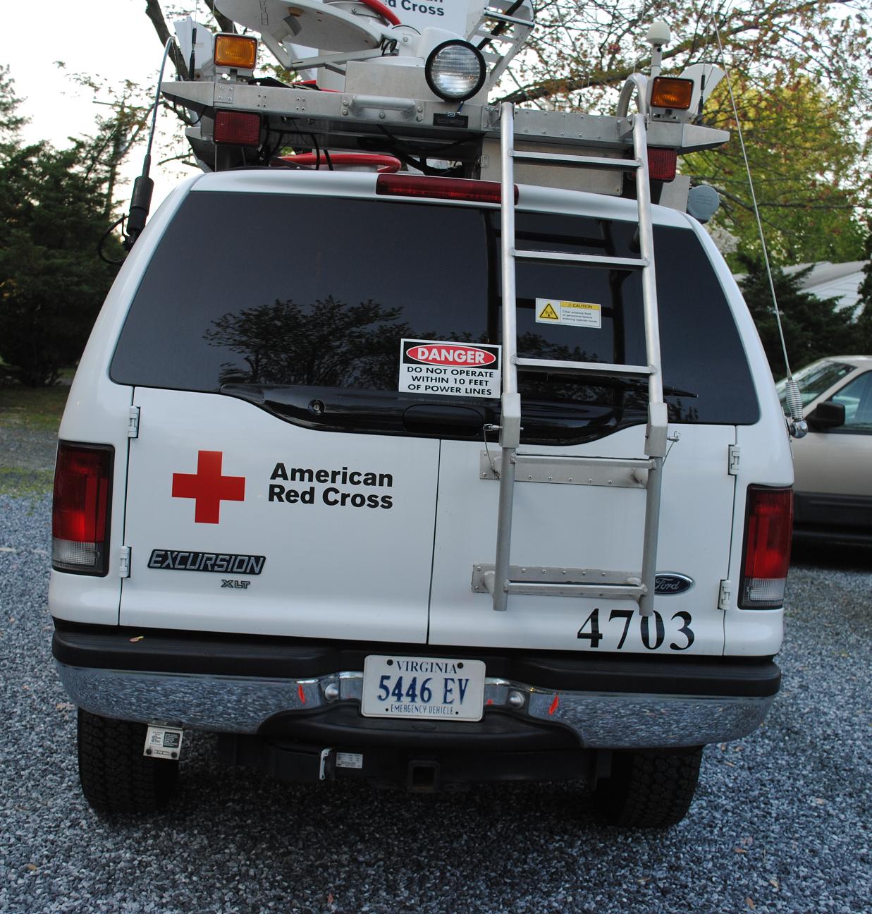
Emergency Communications Response Vehicle (ECRV) 4703
Glory be to God for dappled things
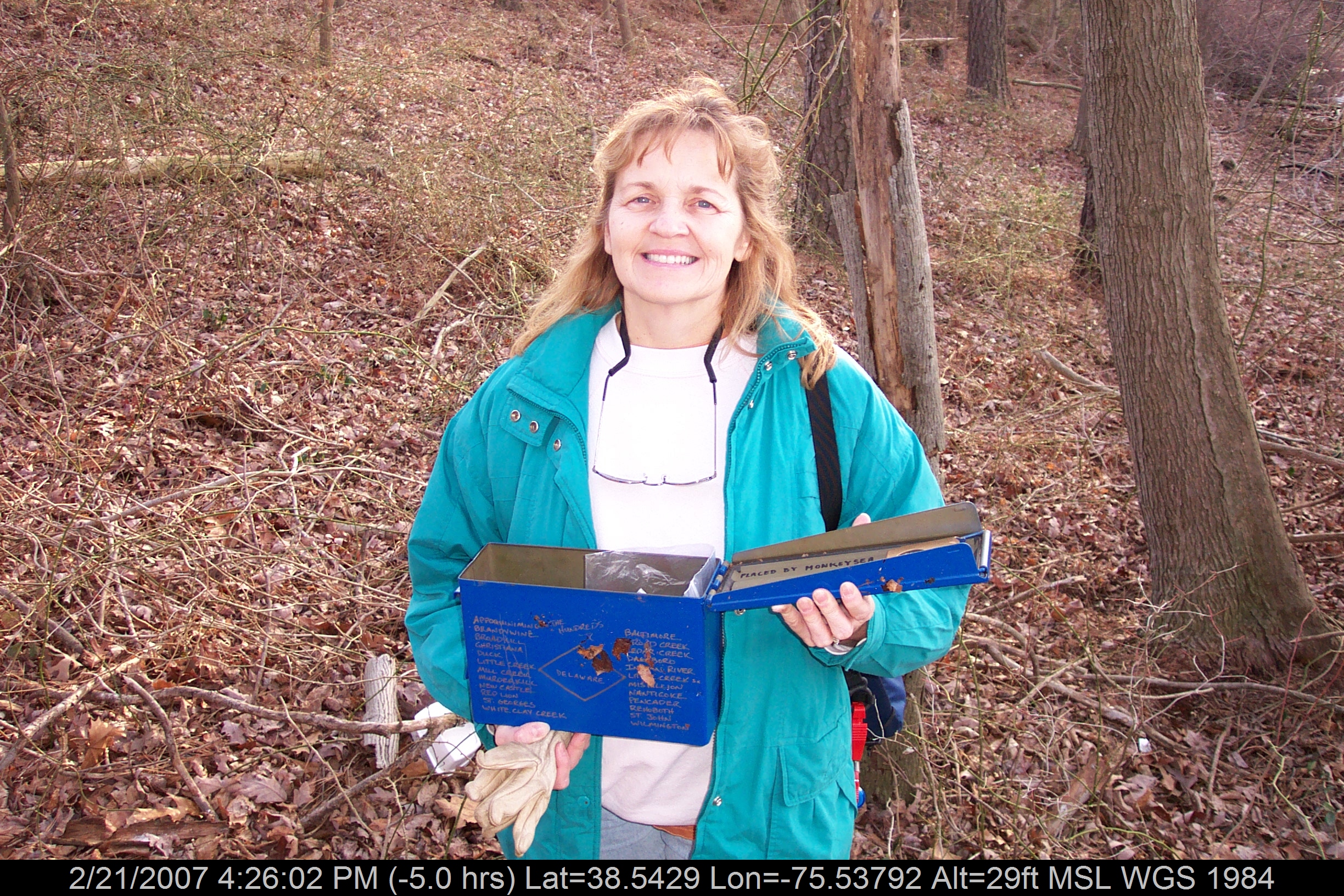
Mrs dinobalz with Broadcreek Hundred Cache
Home and Nature

Country Road
Trap Pond State Park
Trap Pond State Park
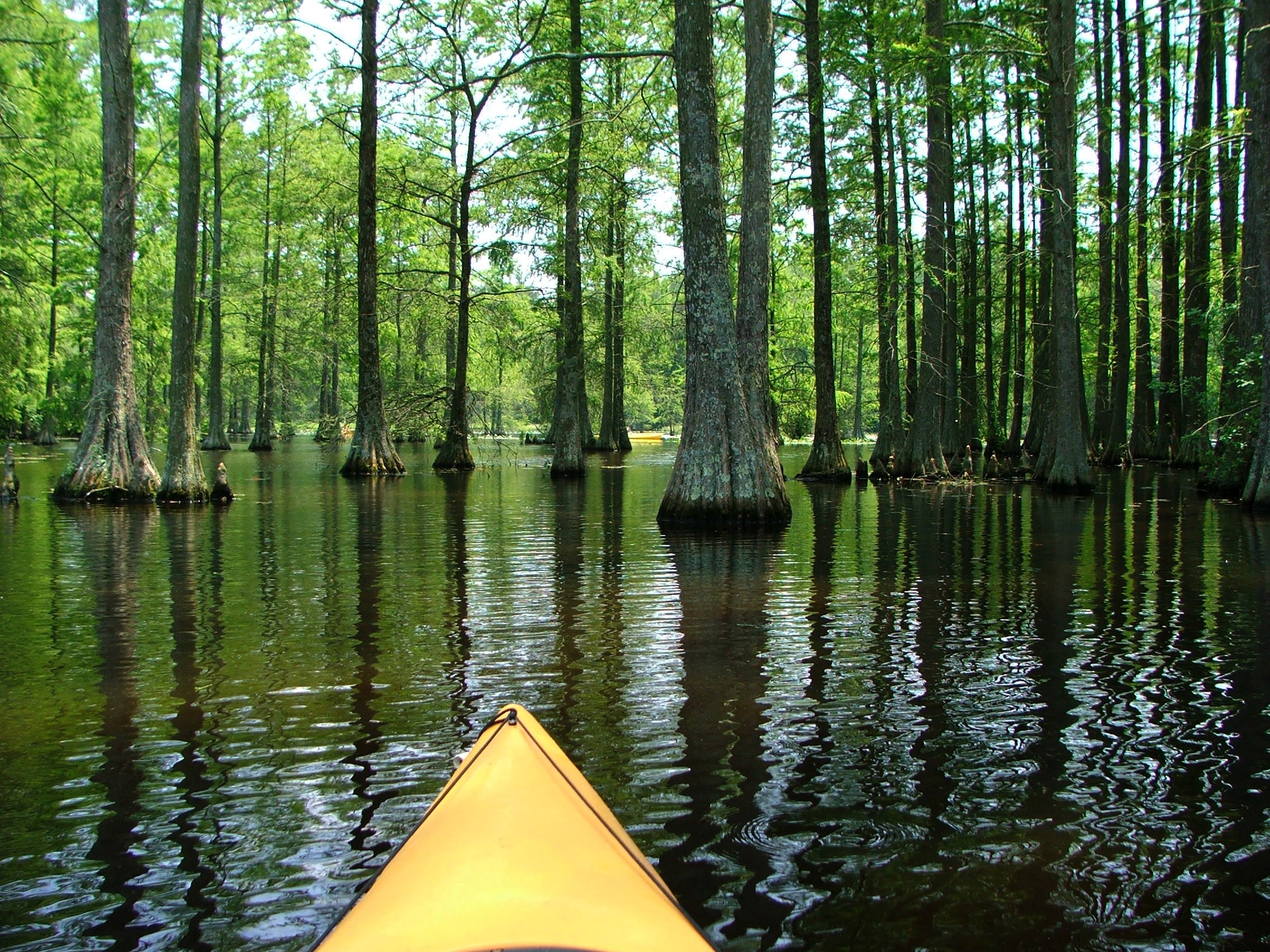
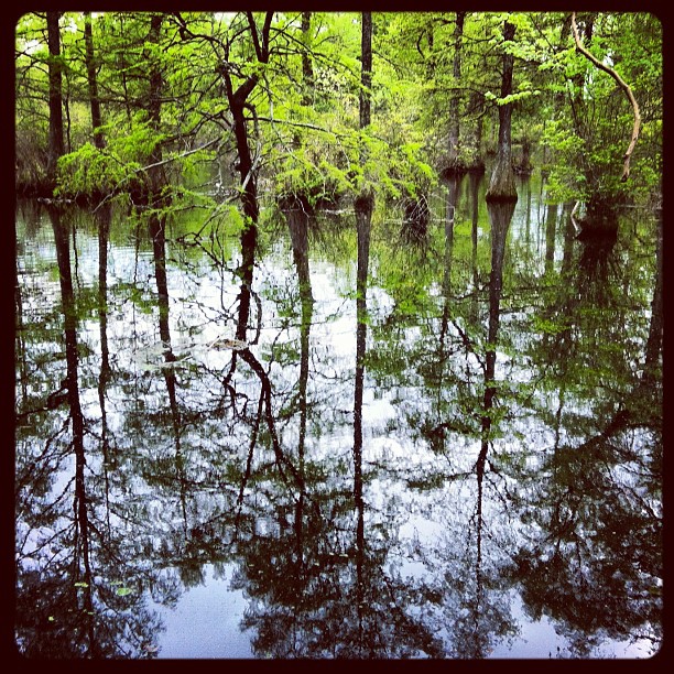
Cypress Trees at Trap Pond

Trap Pond State Park
Trap Pond State Park
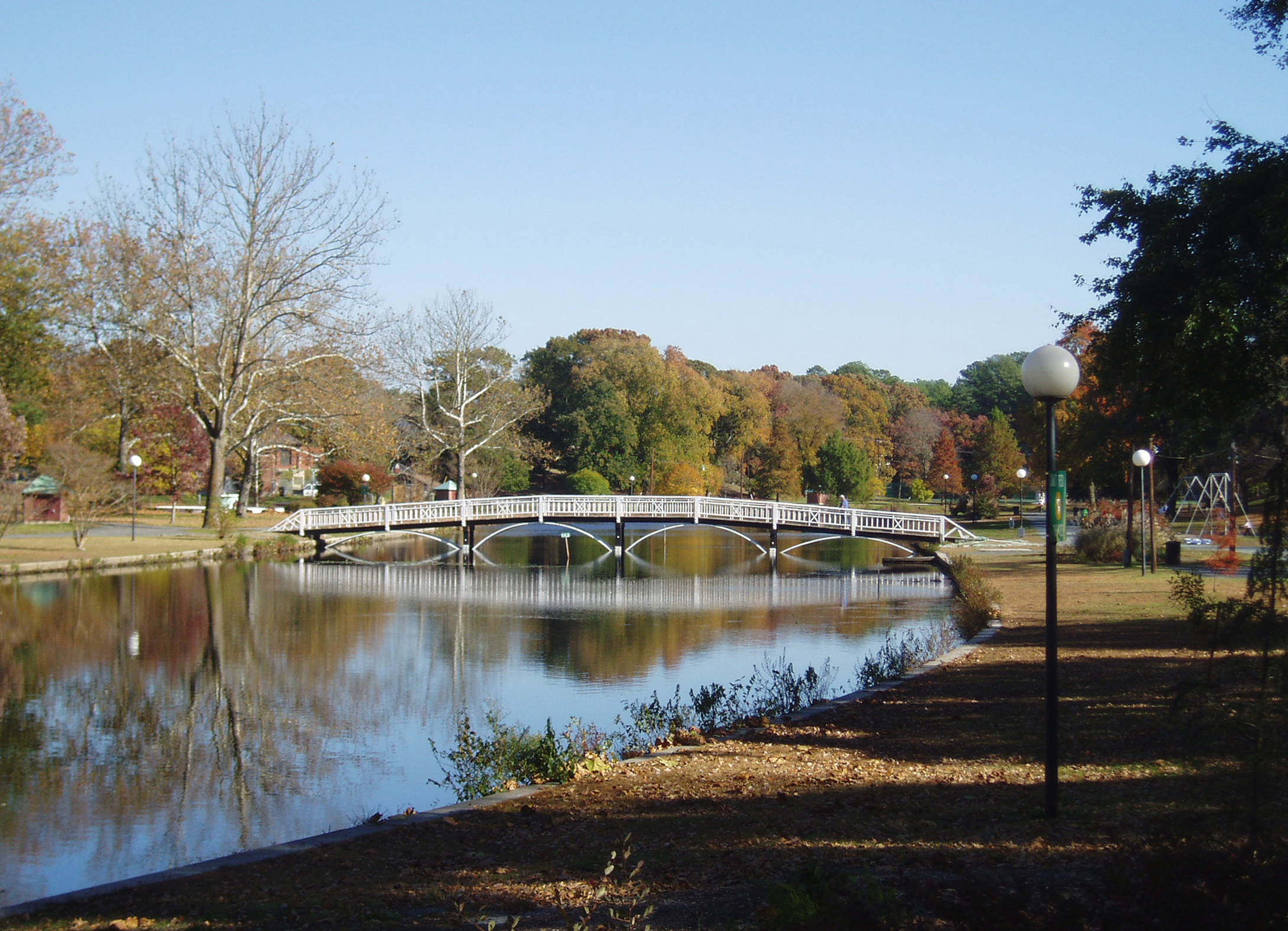
Salisbury City Park

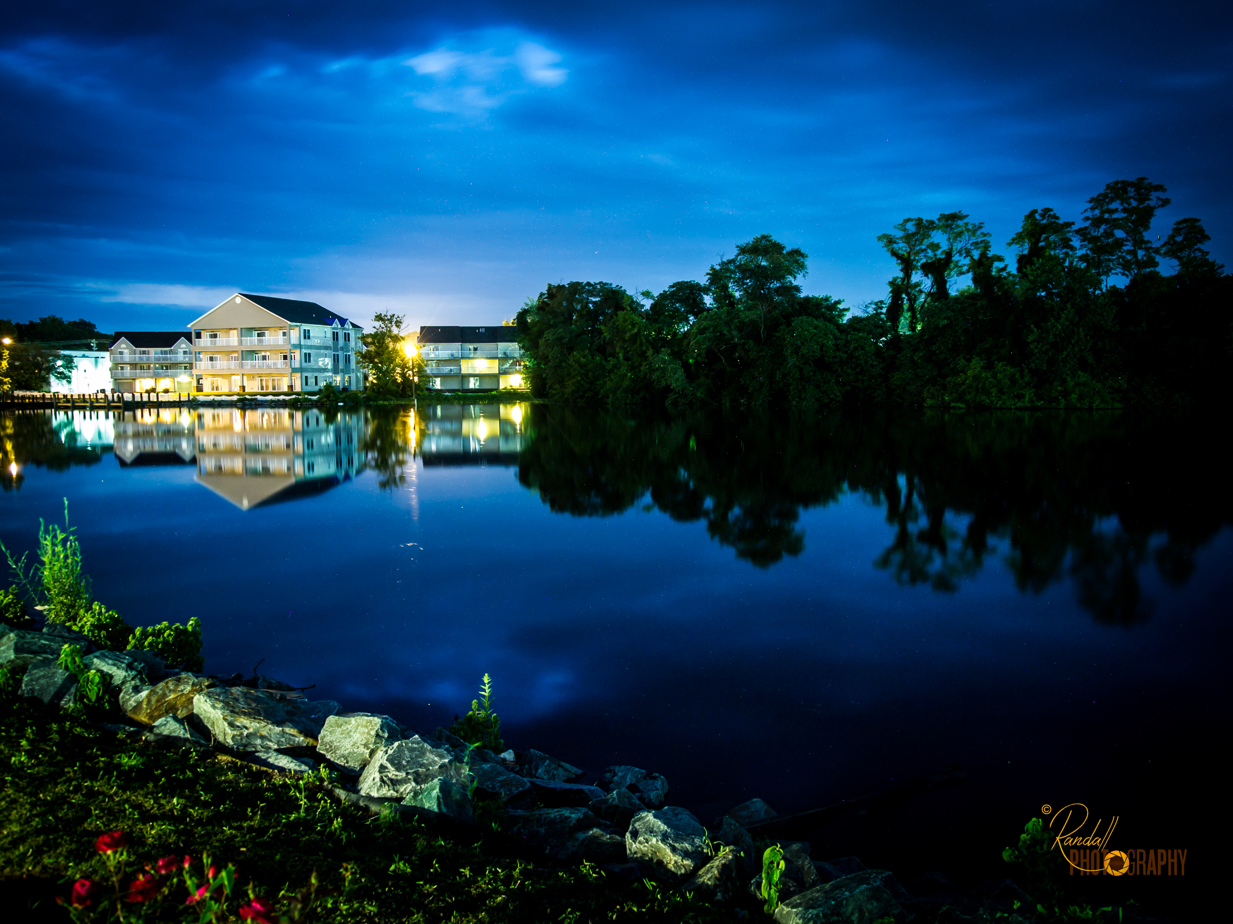
Sunset in Salisbury,MD
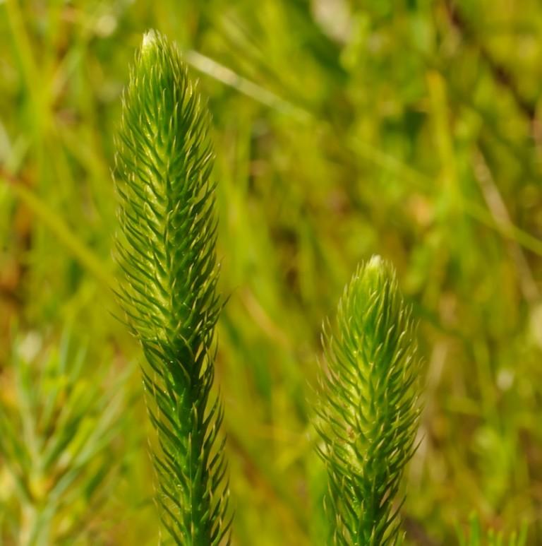
Bog Lycopodium
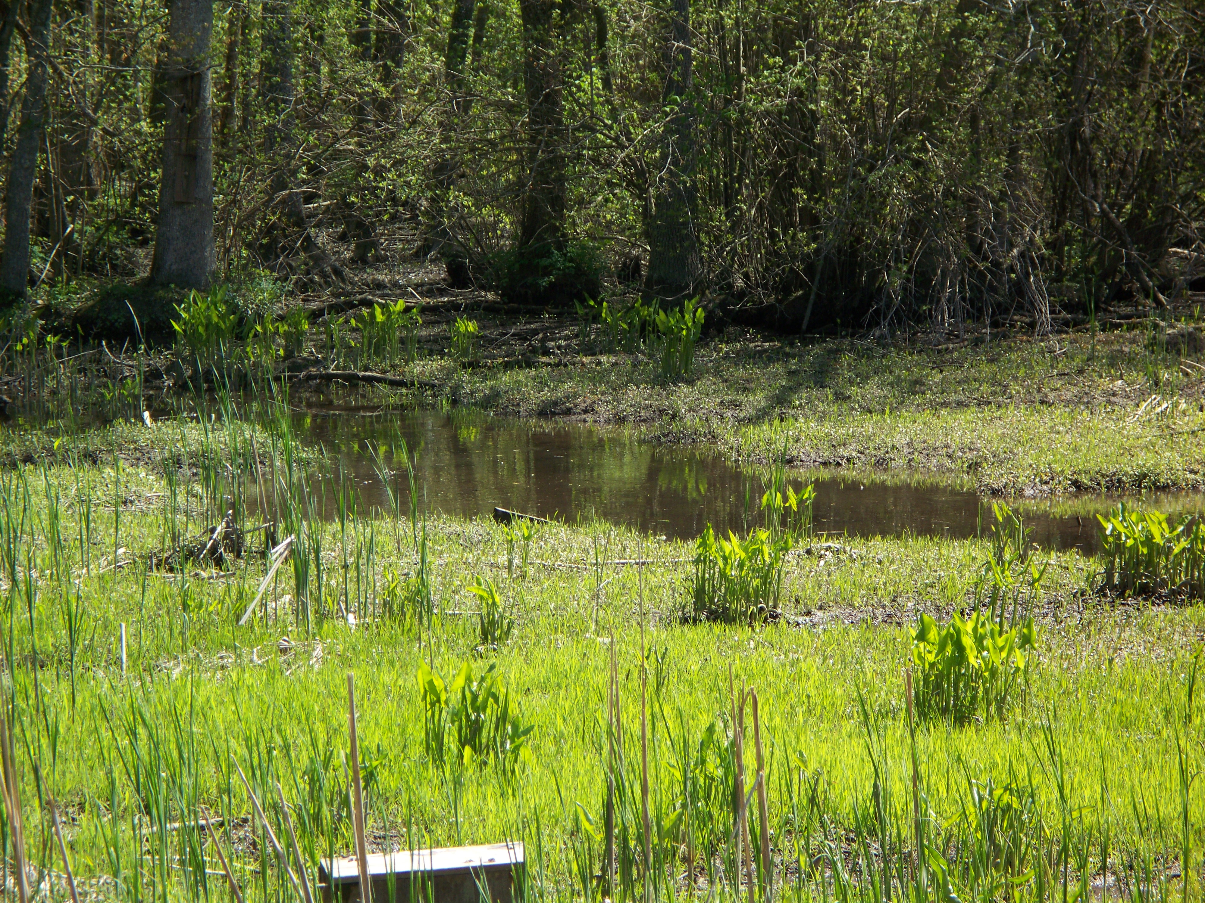
Marsh at Pemberton Historic Park
Hiking with Max today.
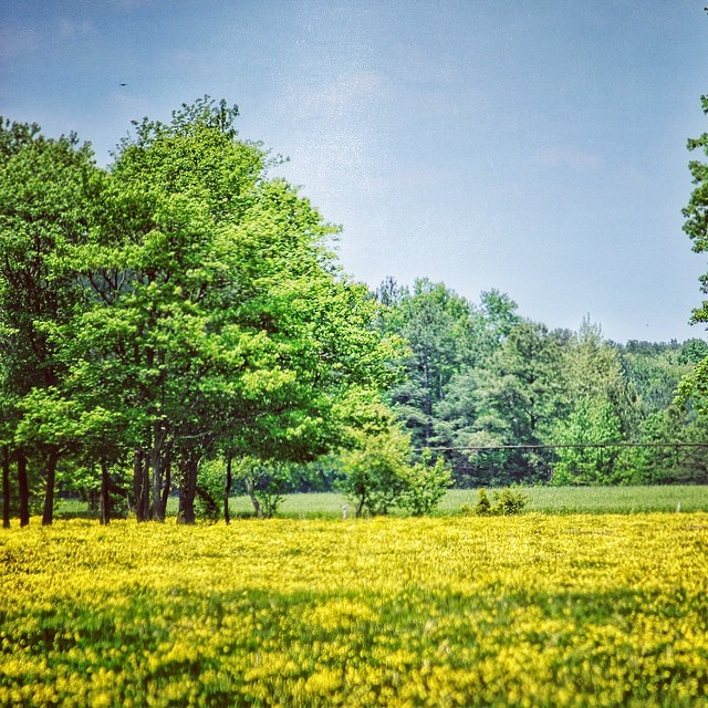
#delaware #field#spring #wildflower #yellow #laurel

Salisbury Maryland

National Aquarium Stream Challenge

Site 9. Mitchel Pond

Bear Swamp Road
#trappond#delaware #pond
Topographic Map of Pintail Drive, Pintail Dr, Parsonsburg, MD, USA
Find elevation by address:

Places near Pintail Drive, Pintail Dr, Parsonsburg, MD, USA:
Parsonsburg Road
7815 Parsonsburg Rd
33250 Dagsboro Rd
7338 Parsonsburg Rd
33030 Old Ocean City Rd
Parsonsburg
Downing Rd, Delmar, MD, USA
Pembroke Ct, Delmar, MD, USA
8480 Northumberland Dr
5, Parsons
Arvey Rd, Parsonsburg, MD, USA
31775 Old Ocean City Rd
Morris Leonard Rd, Parsonsburg, MD, USA
Grenada Dr, Salisbury, MD, USA
38037 Rd 455
Edwards Ave, Salisbury, MD, USA
Argyle Dr, Parsonsburg, MD, USA
4, Pittsburg
Zion Rd, Salisbury, MD, USA
Pepperbox Rd, Delmar, DE, USA
Recent Searches:
- Elevation of Elwyn Dr, Roanoke Rapids, NC, USA
- Elevation of Congressional Dr, Stevensville, MD, USA
- Elevation of Bellview Rd, McLean, VA, USA
- Elevation of Stage Island Rd, Chatham, MA, USA
- Elevation of Shibuya Scramble Crossing, 21 Udagawacho, Shibuya City, Tokyo -, Japan
- Elevation of Jadagoniai, Kaunas District Municipality, Lithuania
- Elevation of Pagonija rock, Kranto 7-oji g. 8"N, Kaunas, Lithuania
- Elevation of Co Rd 87, Jamestown, CO, USA
- Elevation of Tenjo, Cundinamarca, Colombia
- Elevation of Côte-des-Neiges, Montreal, QC H4A 3J6, Canada