Elevation of Pine Ridge Ln, Clarkrange, TN, USA
Location: United States > Tennessee > Fentress County > Clarkrange >
Longitude: -85.008605
Latitude: 36.2074259
Elevation: 544m / 1785feet
Barometric Pressure: 95KPa
Elevation Map:
Satellite Map:
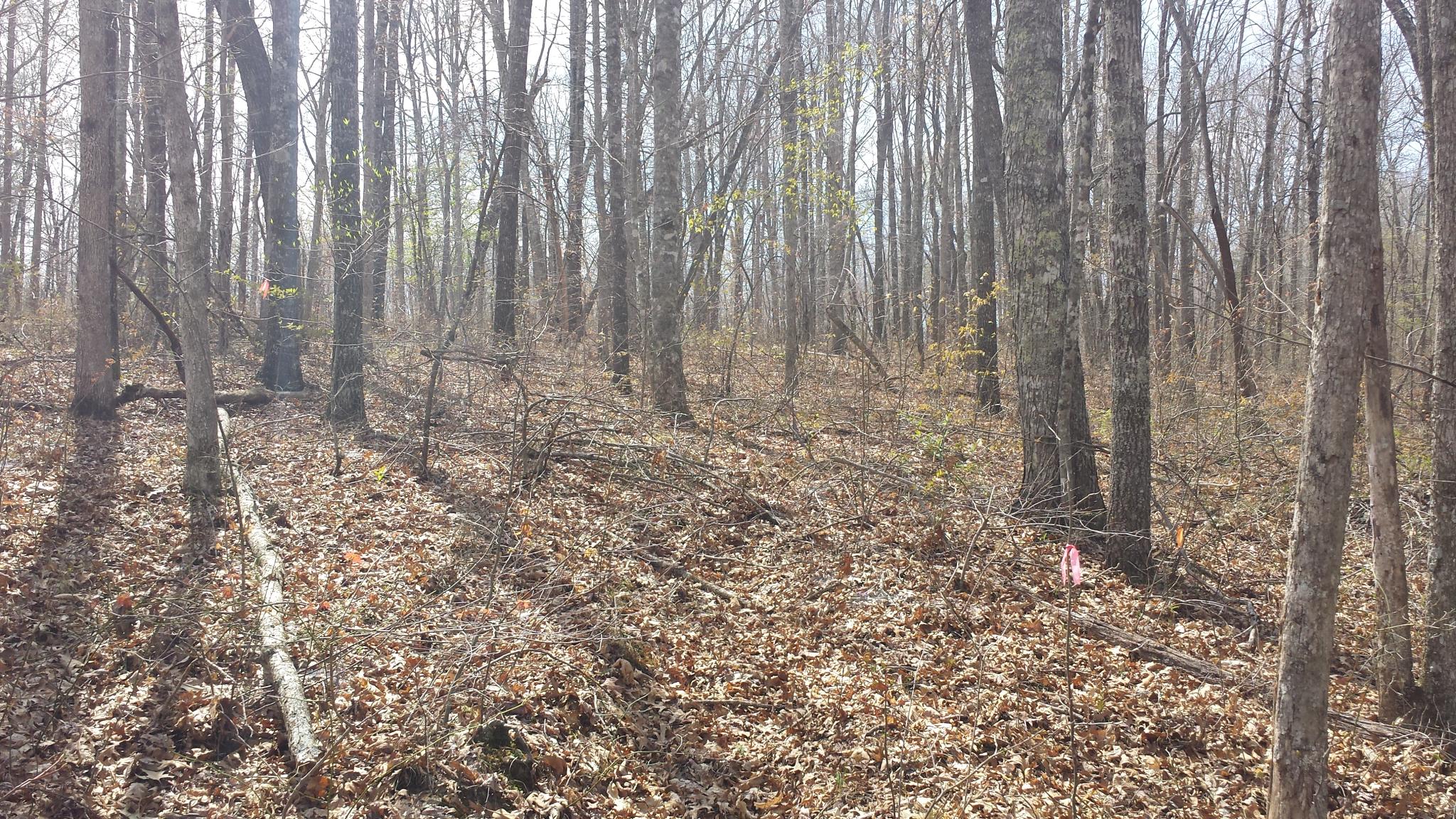
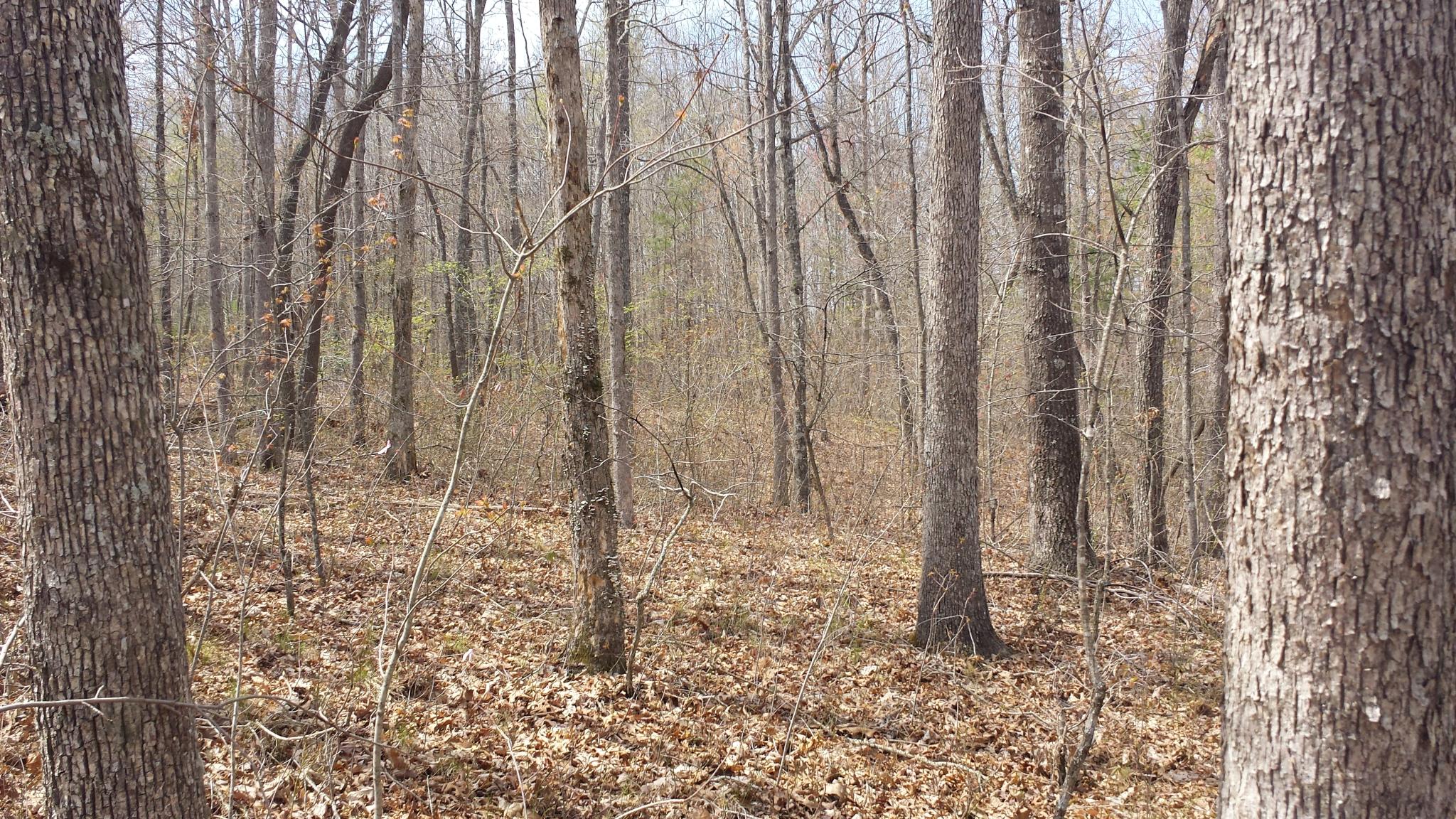
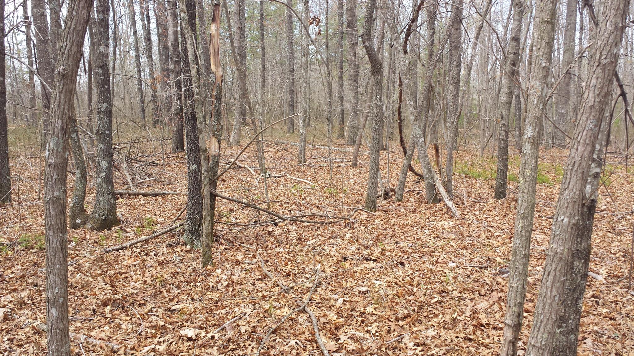
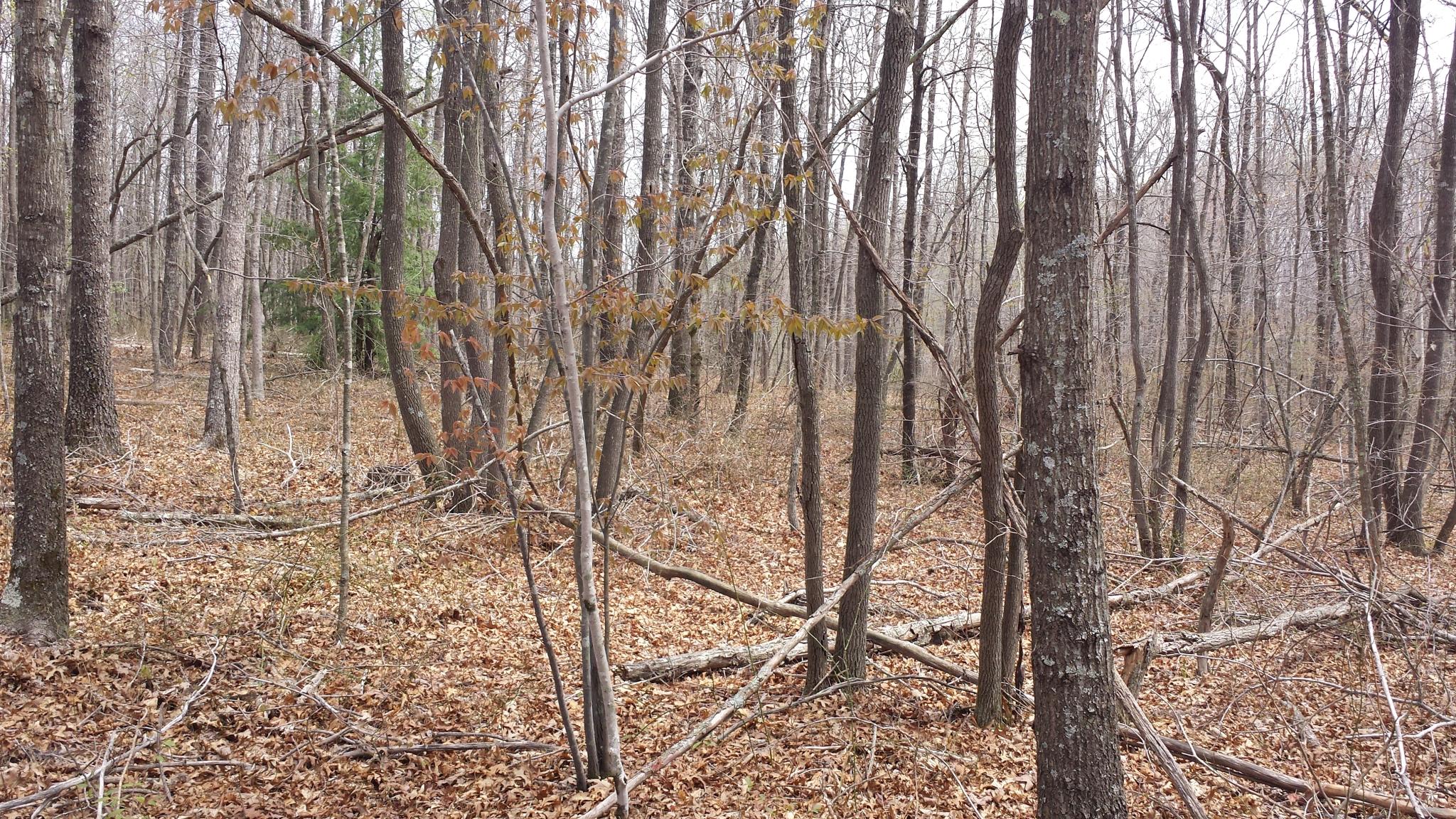
Related Photos:

Cumberland Mountain General Store - Clarkrange, Tennessee 1

Abandoned Country House
te-237
te-070
te-244
te-201
te-402
te-374
te-242
te-223
te-401
te-397
te-305
te-238
te-095
te-312
te-037

te-308

te-093
te-345
te-234
te-372
te-075
Topographic Map of Pine Ridge Ln, Clarkrange, TN, USA
Find elevation by address:

Places near Pine Ridge Ln, Clarkrange, TN, USA:
W Rock Quarry Rd, Clarkrange, TN, USA
Clarkrange
1333 Tn-62
1599 N Lowe Rd
13895 Us-127
4711 Potato Farm Rd
Genesis Rd, Crossville, TN, USA
459 L Henry Rd
1001 Al Goss Rd
1001 Al Goss Rd
Bowman
199 Bowman Loop
199 Bowman Loop
343 Sunset Ridge Dr
Chestnut Ridge Road
698 Maynard Rd
233 Scott Wyatt Rd
174 Claude Howard Rd
991 Ett Brown Rd
117 Leyden Dr
Recent Searches:
- Elevation of Leguwa, Nepal
- Elevation of County Rd, Enterprise, AL, USA
- Elevation of Kolchuginsky District, Vladimir Oblast, Russia
- Elevation of Shustino, Vladimir Oblast, Russia
- Elevation of Lampiasi St, Sarasota, FL, USA
- Elevation of Elwyn Dr, Roanoke Rapids, NC, USA
- Elevation of Congressional Dr, Stevensville, MD, USA
- Elevation of Bellview Rd, McLean, VA, USA
- Elevation of Stage Island Rd, Chatham, MA, USA
- Elevation of Shibuya Scramble Crossing, 21 Udagawacho, Shibuya City, Tokyo -, Japan