Elevation of Clarkrange, TN, USA
Location: United States > Tennessee > Fentress County >
Longitude: -85.017456
Latitude: 36.1834013
Elevation: 556m / 1824feet
Barometric Pressure: 95KPa
Elevation Map:
Satellite Map:
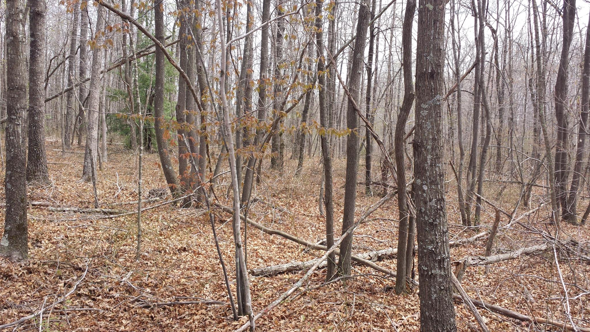
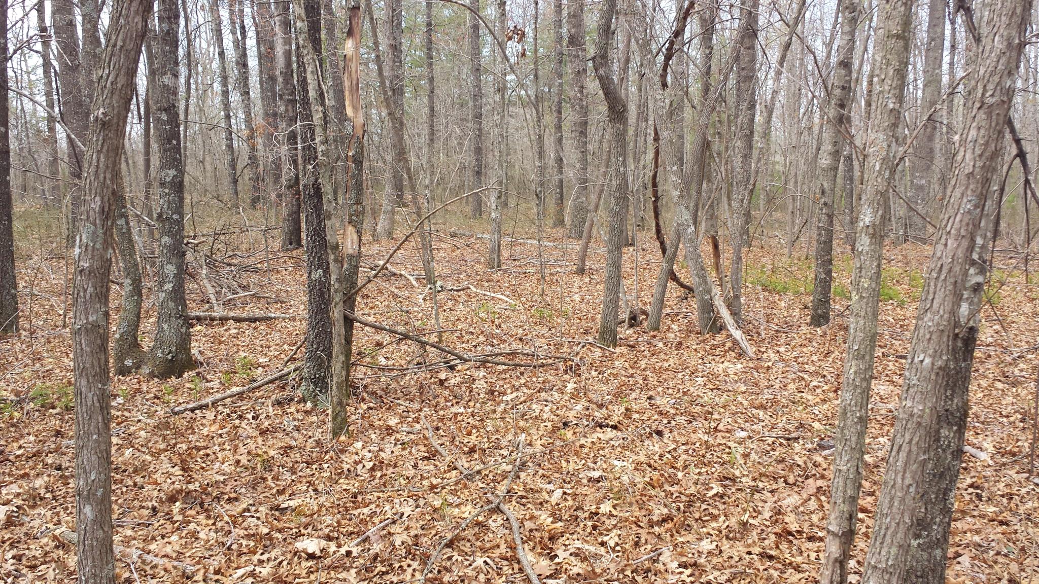
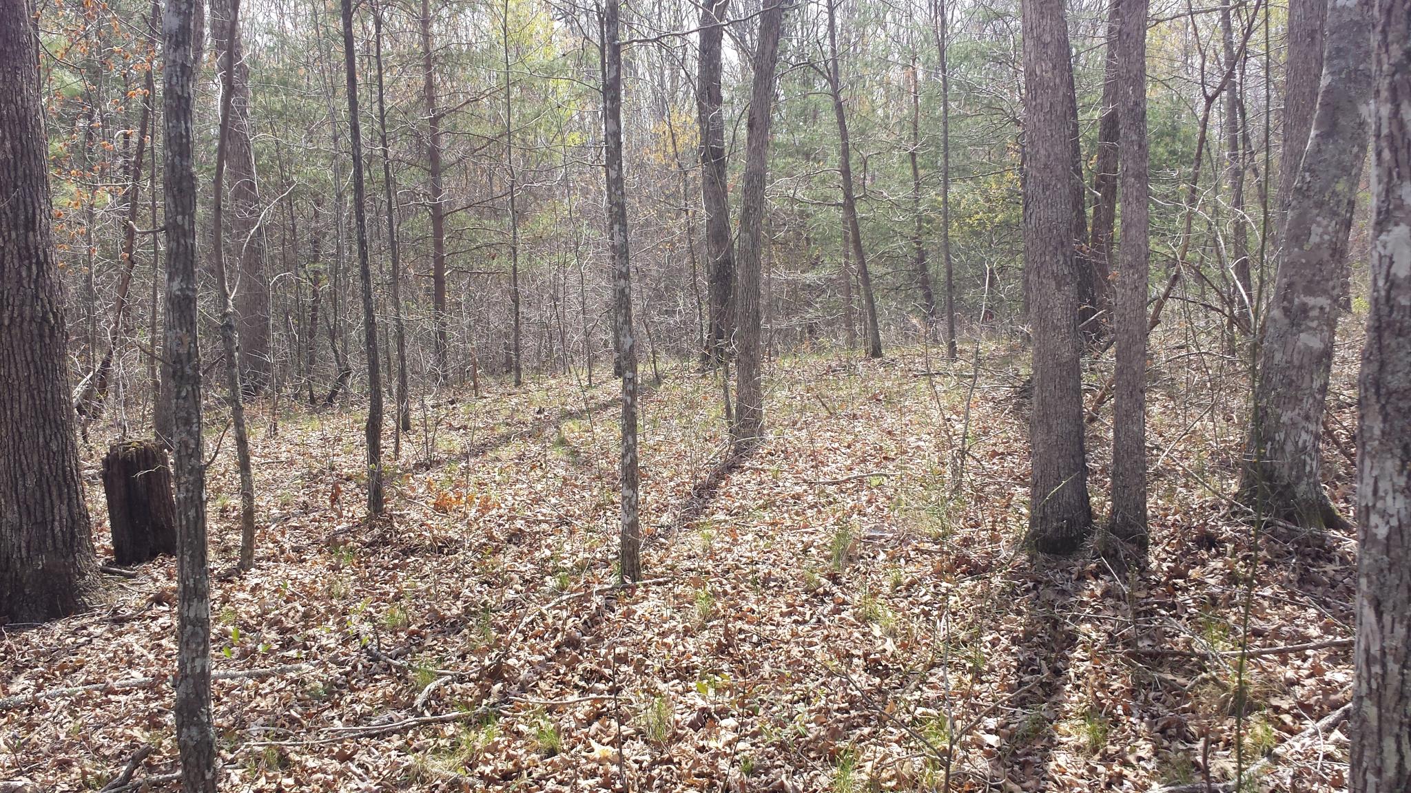
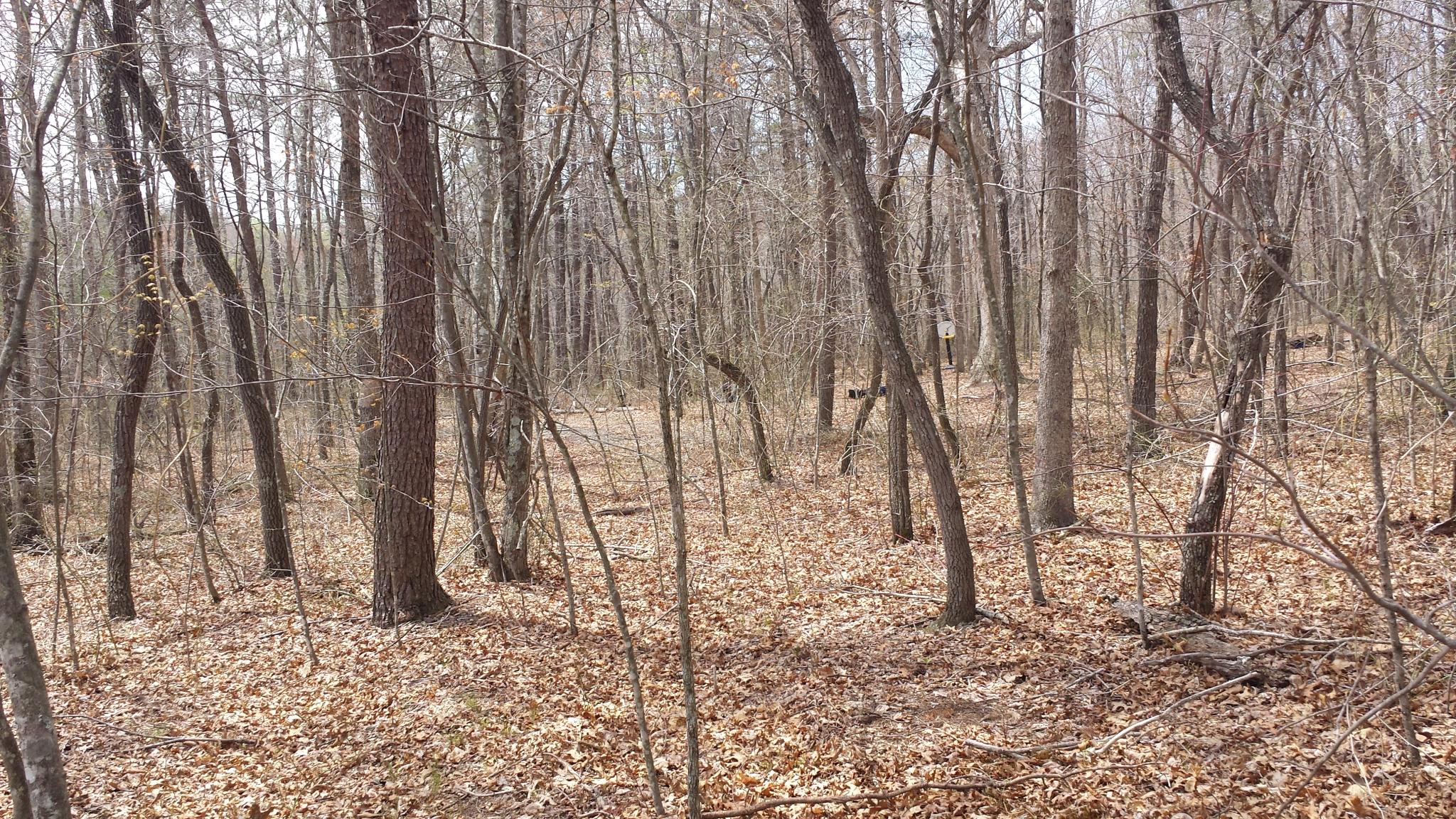
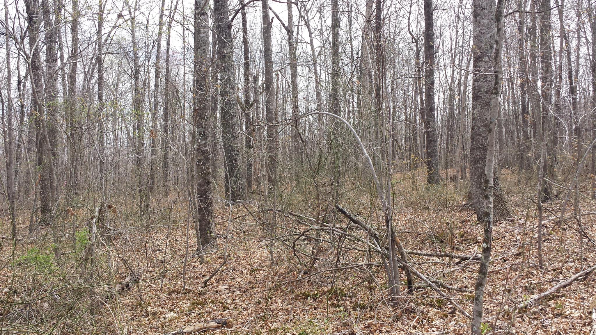
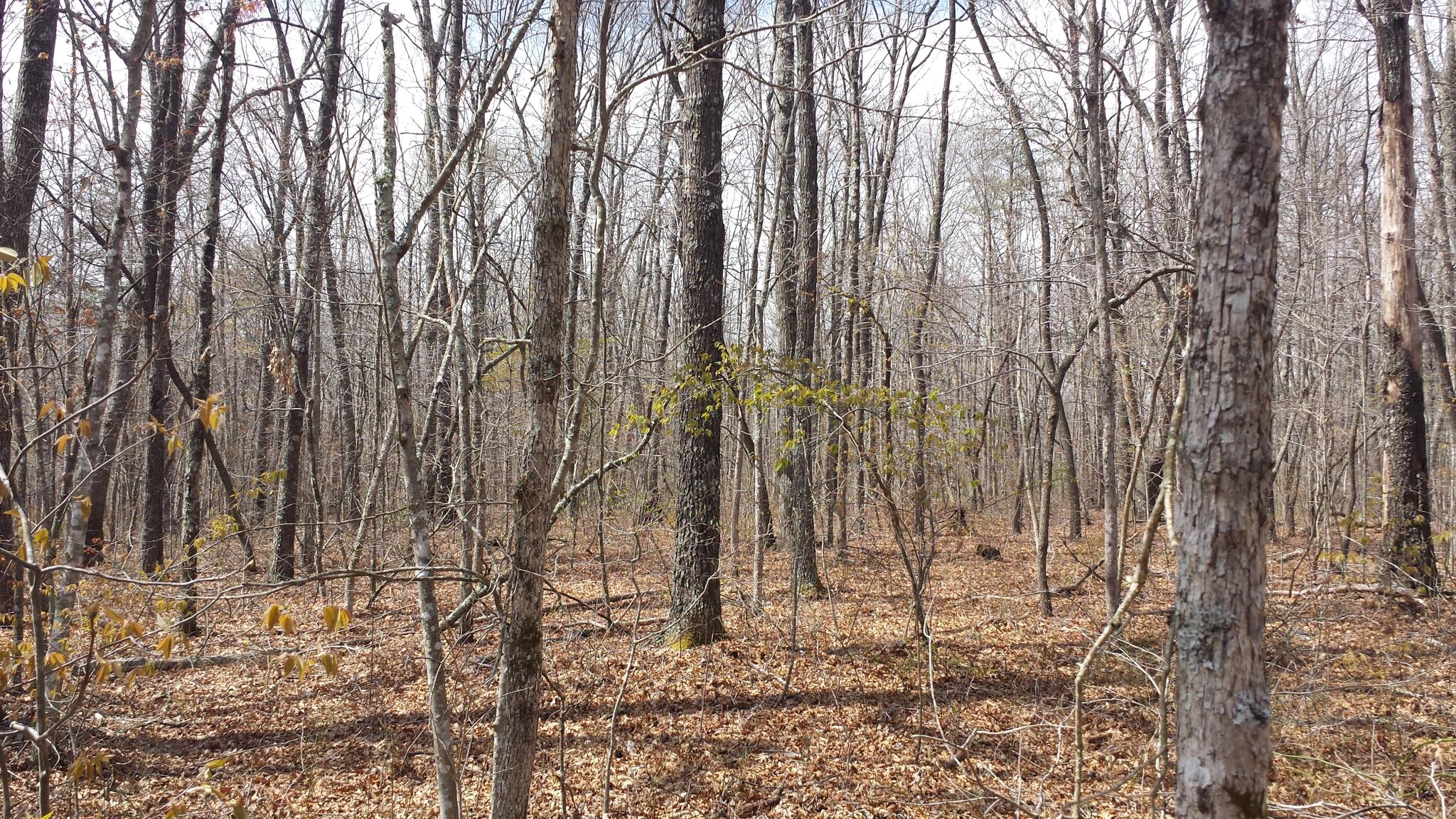
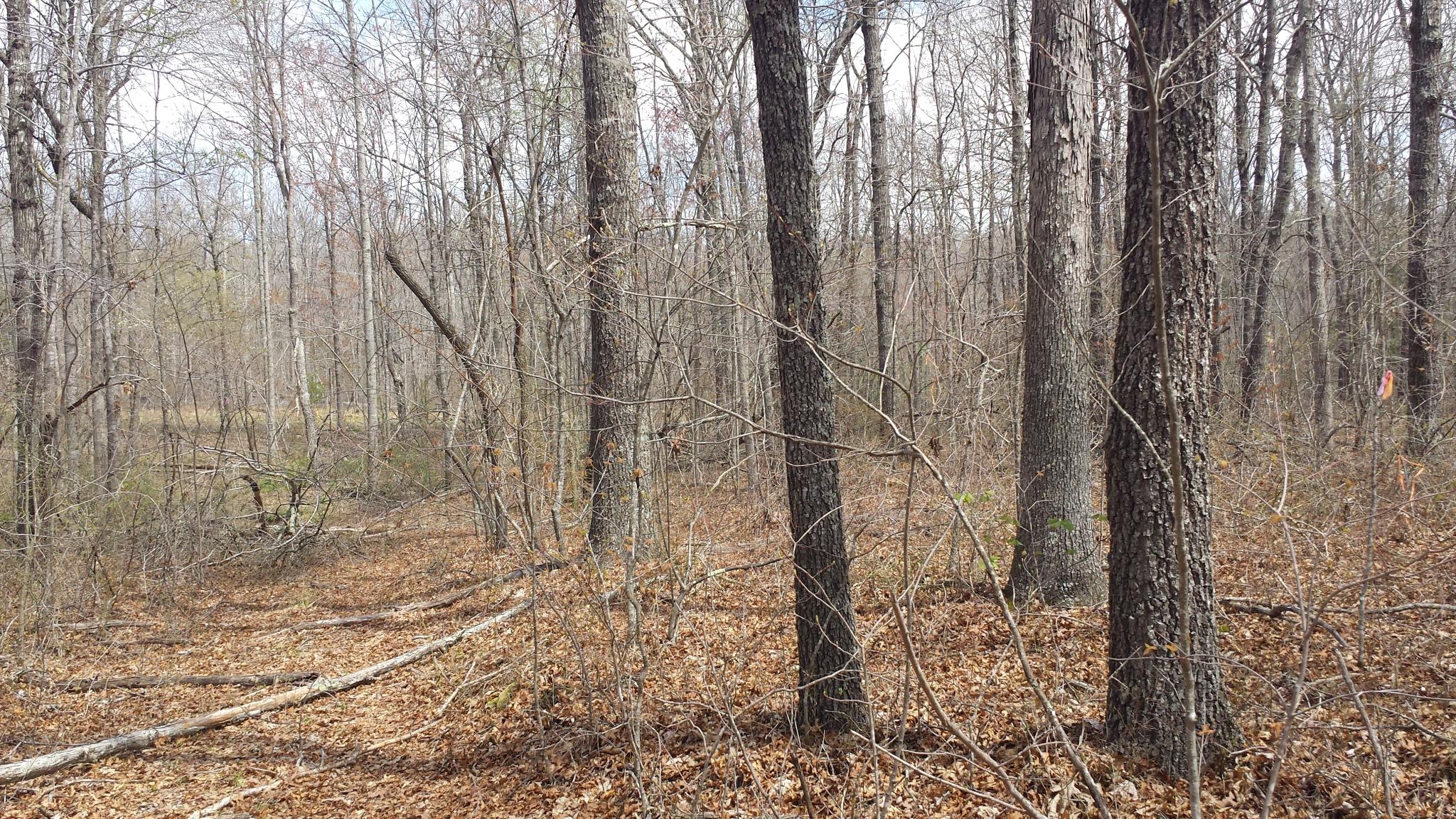
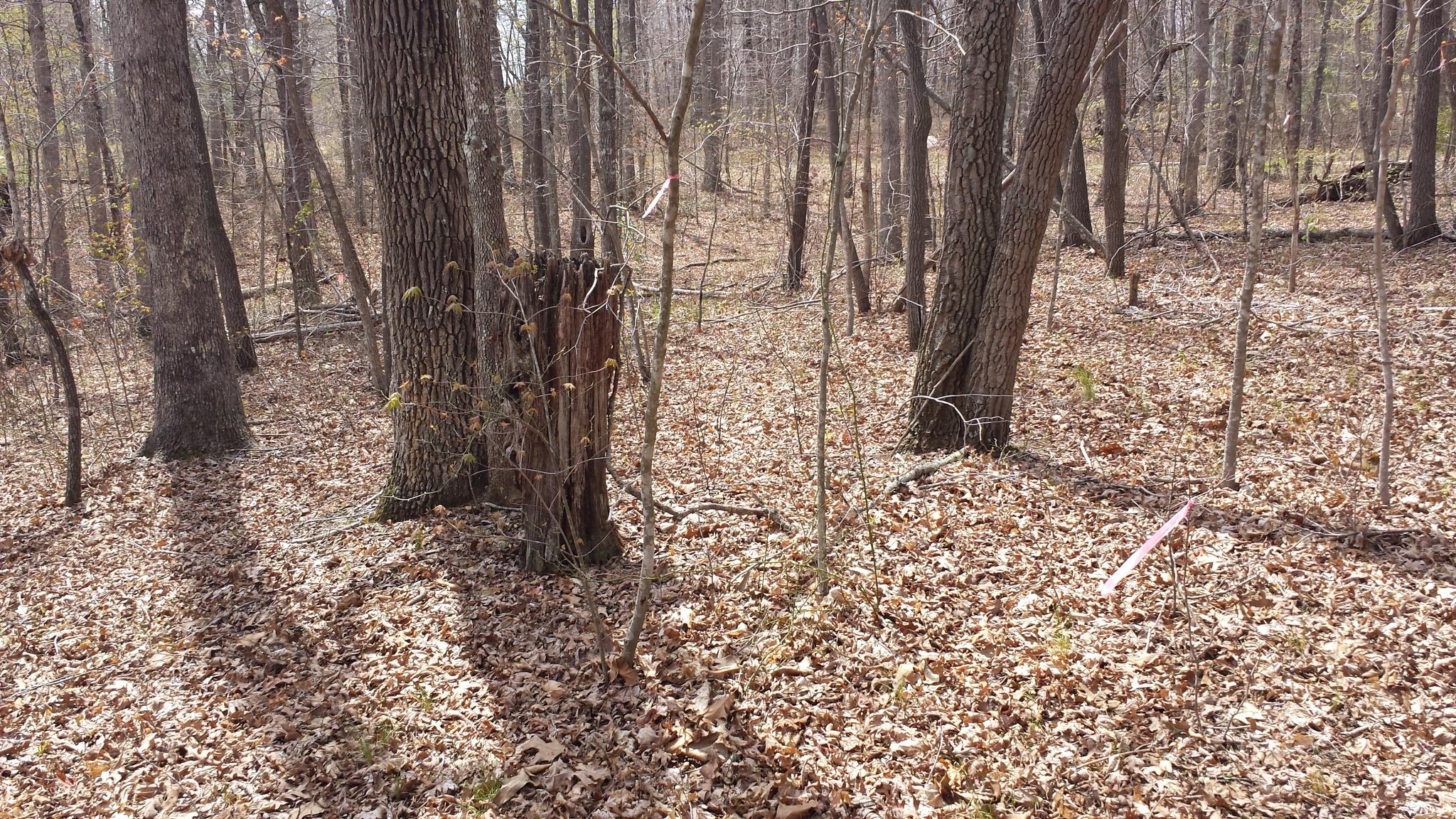
Related Photos:

Abandoned Country House

The view from my mother and fathers back poarch. Also the first shot with my new Galaxy Note 3. Uploaded using Verizon 4G LTE. #VZbuzz
te-237
te-401
te-201
te-374
te-070
te-244
te-402
te-085
te-223
te-242
te-397
te-305
te-391
te-238
te-095
te-312
te-232
te-037
te-096
te-345
Topographic Map of Clarkrange, TN, USA
Find elevation by address:

Places in Clarkrange, TN, USA:
Places near Clarkrange, TN, USA:
W Rock Quarry Rd, Clarkrange, TN, USA
1059 Pine Ridge Ln
1333 Tn-62
1599 N Lowe Rd
13895 Us-127
4711 Potato Farm Rd
459 L Henry Rd
1001 Al Goss Rd
1001 Al Goss Rd
Genesis Rd, Crossville, TN, USA
Bowman
199 Bowman Loop
199 Bowman Loop
698 Maynard Rd
343 Sunset Ridge Dr
233 Scott Wyatt Rd
Chestnut Ridge Road
174 Claude Howard Rd
117 Leyden Dr
117 Leyden Dr
Recent Searches:
- Elevation of Corso Fratelli Cairoli, 35, Macerata MC, Italy
- Elevation of Tallevast Rd, Sarasota, FL, USA
- Elevation of 4th St E, Sonoma, CA, USA
- Elevation of Black Hollow Rd, Pennsdale, PA, USA
- Elevation of Oakland Ave, Williamsport, PA, USA
- Elevation of Pedrógão Grande, Portugal
- Elevation of Klee Dr, Martinsburg, WV, USA
- Elevation of Via Roma, Pieranica CR, Italy
- Elevation of Tavkvetili Mountain, Georgia
- Elevation of Hartfords Bluff Cir, Mt Pleasant, SC, USA