Elevation of Pine, Clayton, NY, USA
Location: United States > New York > Jefferson County > Clayton > Clayton >
Longitude: -76.077316
Latitude: 44.261364
Elevation: 89m / 292feet
Barometric Pressure: 100KPa
Elevation Map:
Satellite Map:
Related Photos:
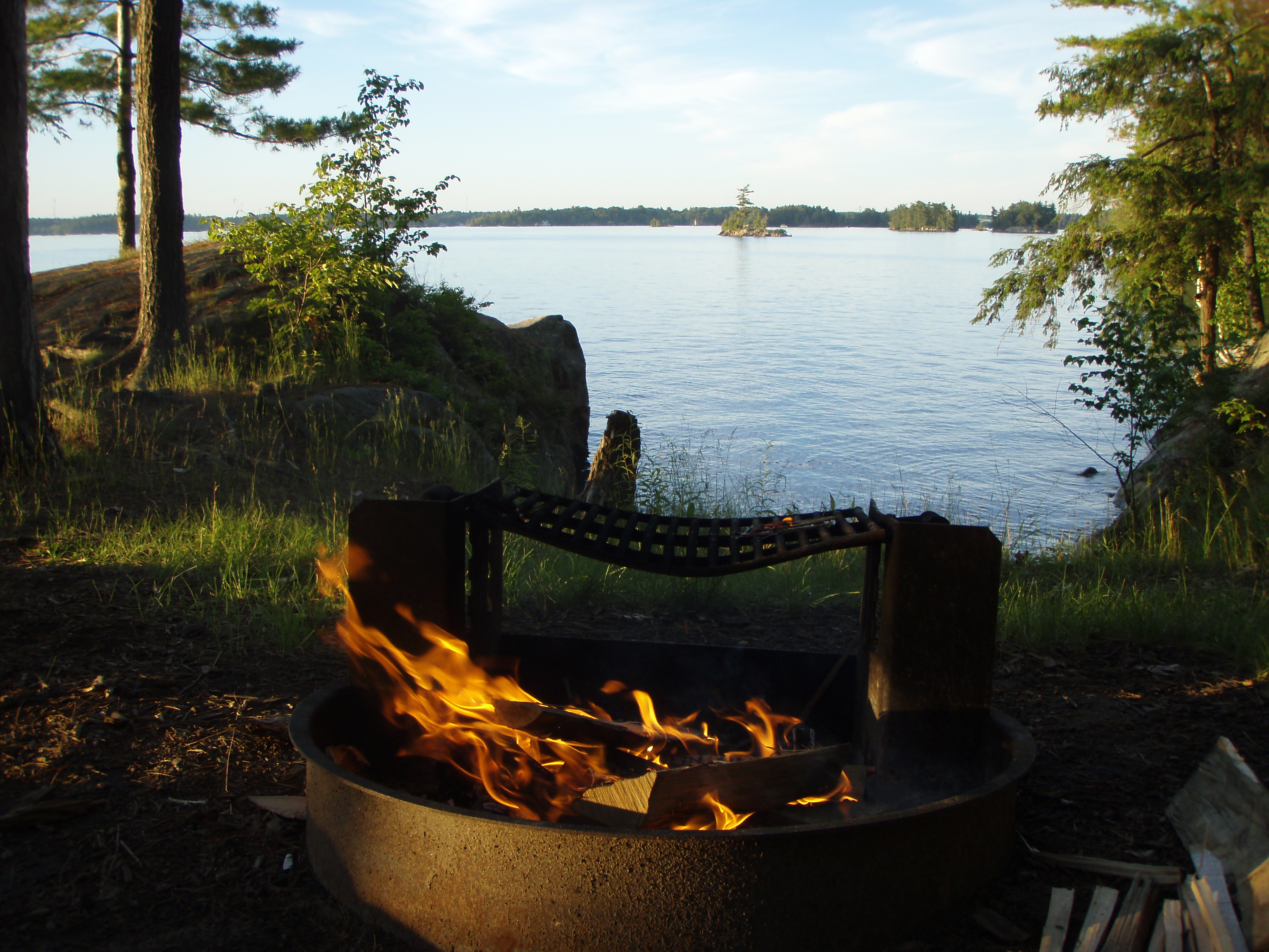
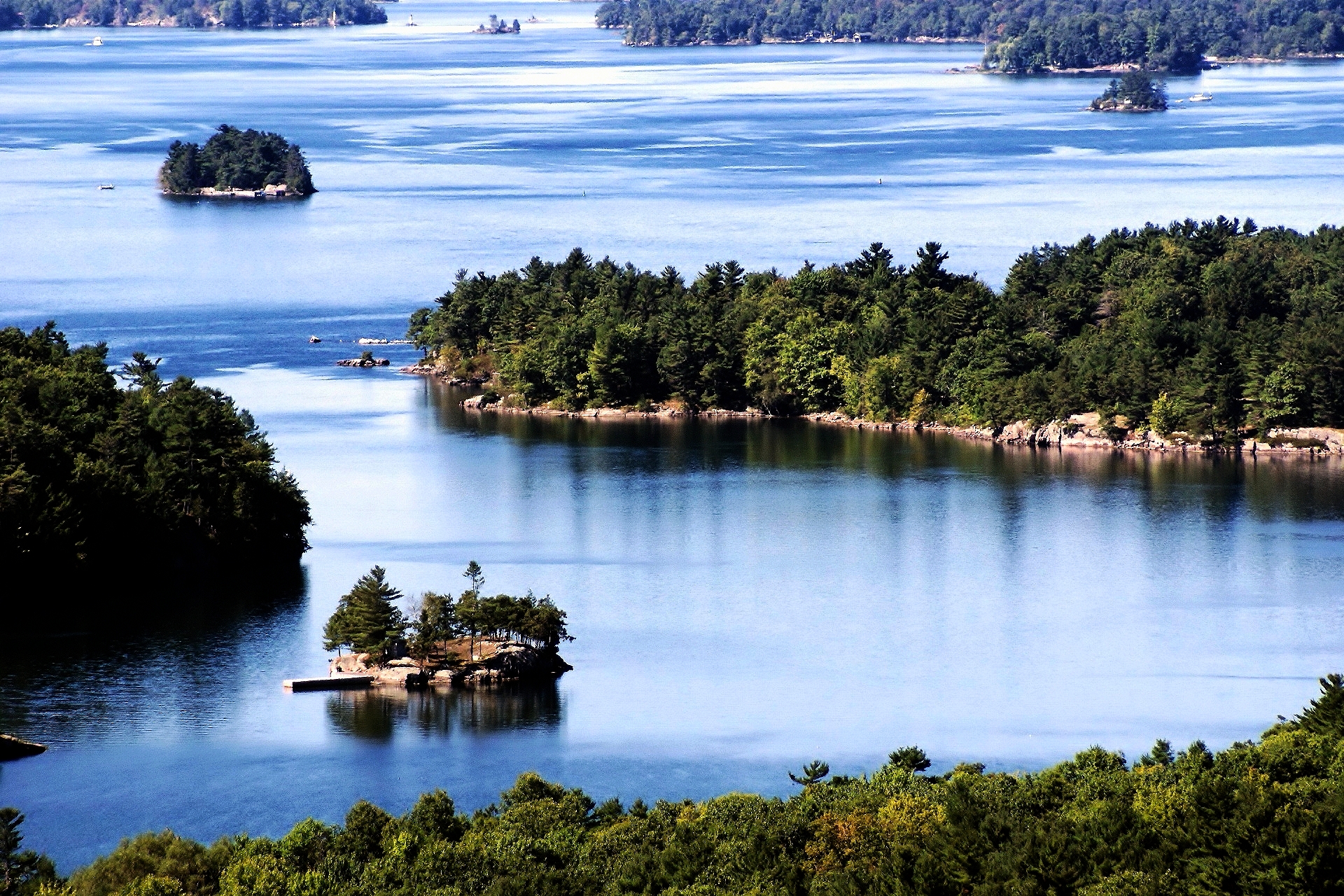
Summertime in the 1000 Islands
St. Lawrence Islands
Totem hydro pole
iPhone upstate

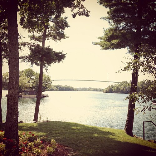
Clayton, NY

the Rolls Royces of the river
Via Rail - Toronto - Montreal

Best View - Thousand Islands Boat Tour
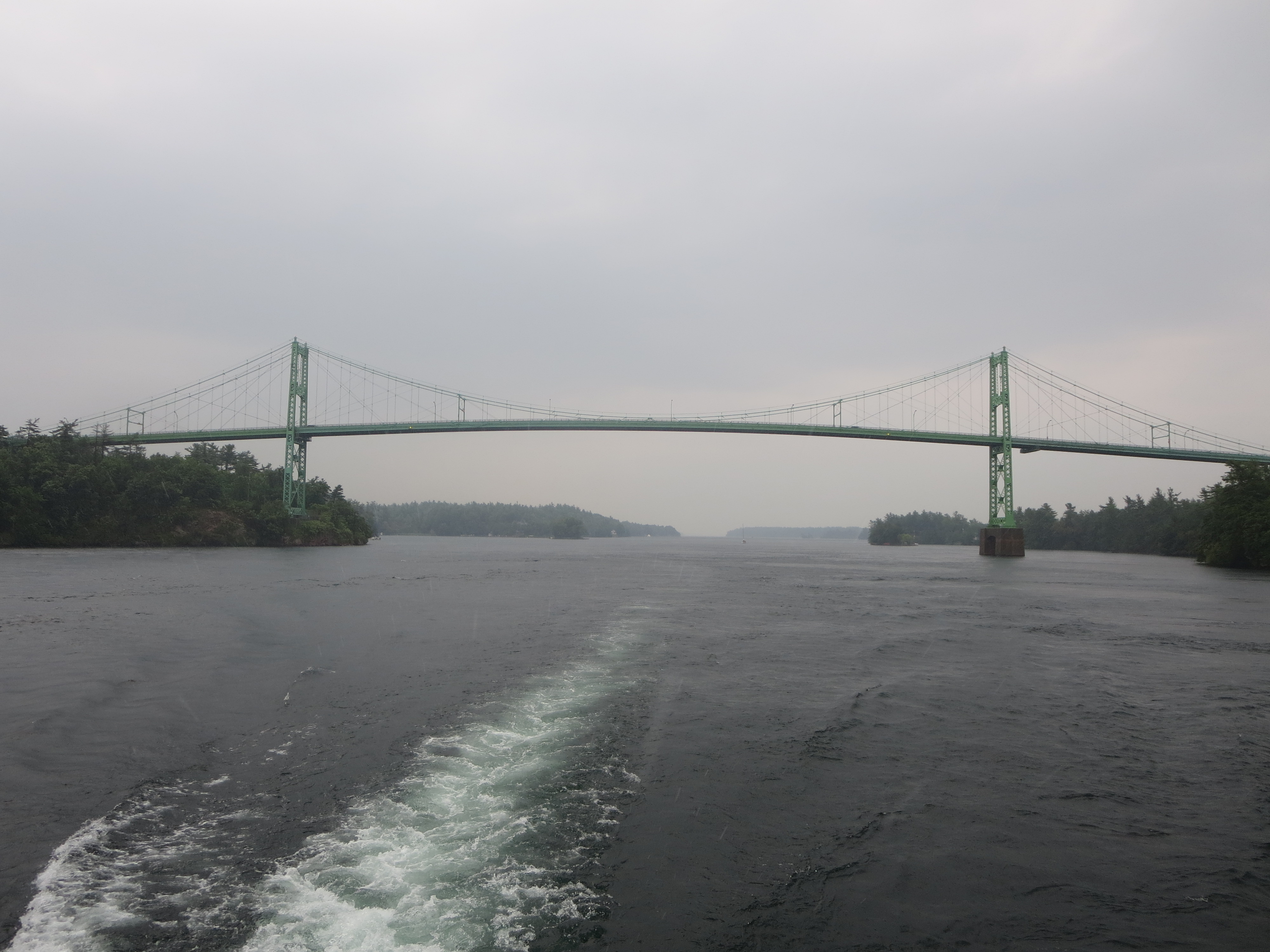
1000 Islands International Bridge for Canadian / USA international border crossing from Hill Island, Ontario, Canada across the Saint Lawrence River to Wellesley Island, New York, United States of America
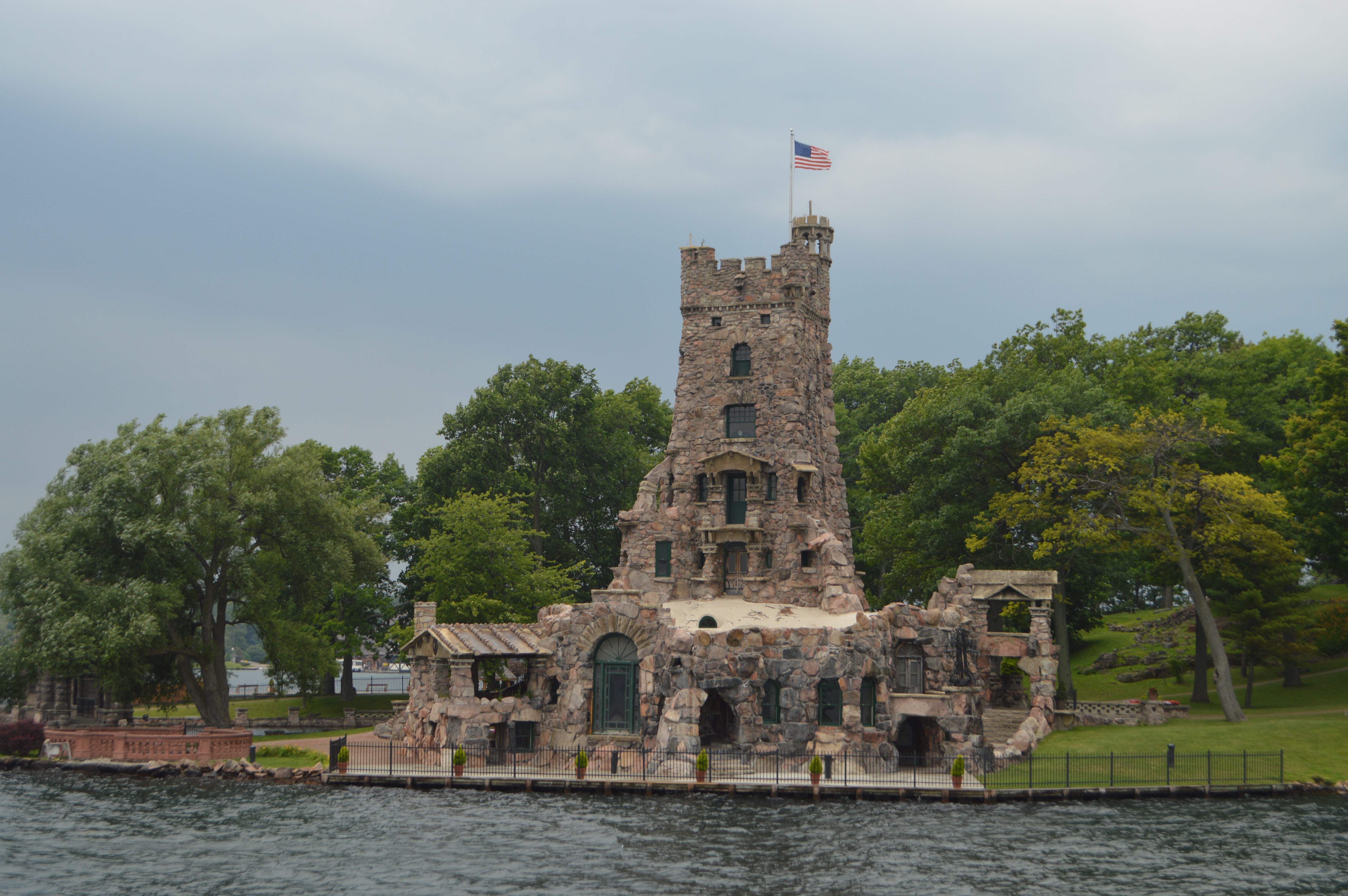
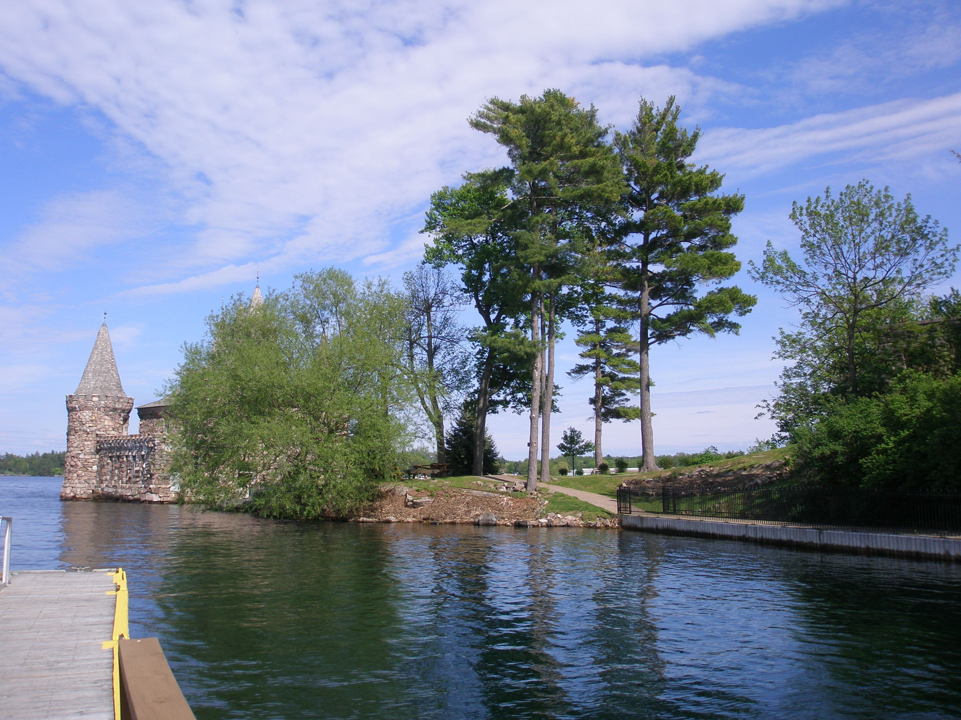
Boldt Castle Alster Tower on Heart Island in the Thousand Islands of the Saint Lawrence River
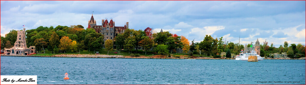
Heart Island - Boldt Castle

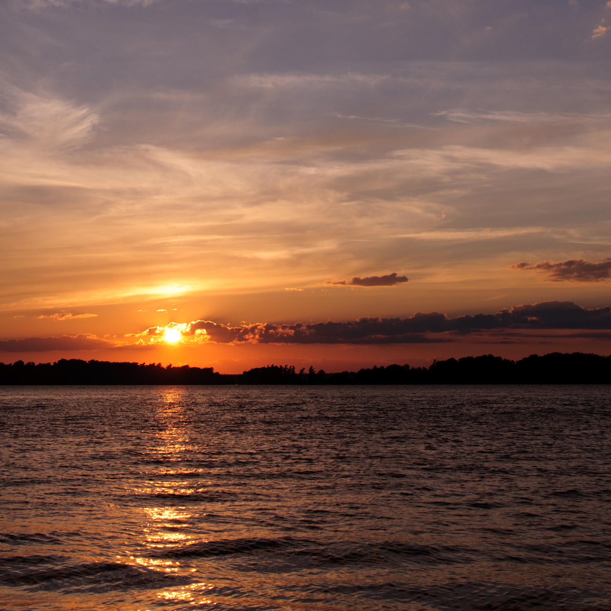
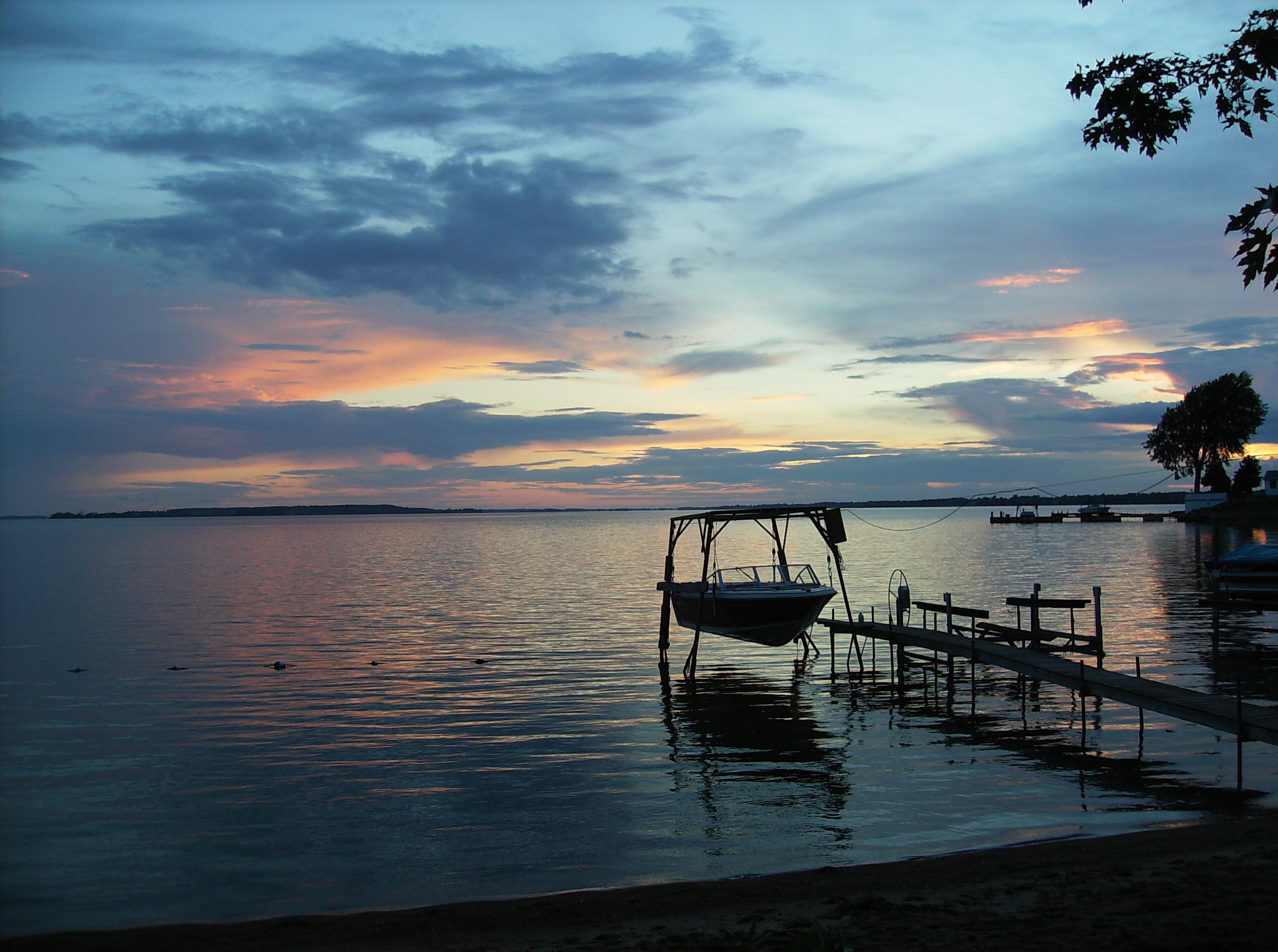
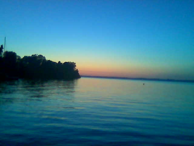
Sunset in the Bay
P5221247 Boldt Castle

20080703-190018.JPG

Ryan Janek Wolowski at the 1000 Islands International Bridge for Canadian / USA international border crossing from Hill Island, Ontario, Canada across the Saint Lawrence River to Wellesley Island, New York, United States of America
OLYMPUS DIGITAL CAMERA

What does a Fall sunset in the 1000 Islands look like? Amazing!! View from @smuggsrun tonight

Boldt Castle - The Clock Tower and Yacht House
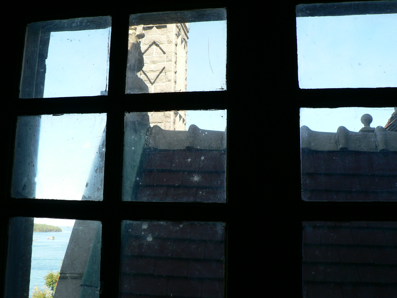
Window view

Boldt Castle - Roofline 2
20080703-190116.JPG
Sunset Over the St. Lawrence - v2

rain falling on the St. Lawrence

Brooding Sky - New York State
There's the Bridge to USA.
Bom dia!
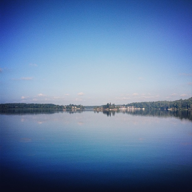
Blue and green
The St. Lawrence River

2013-09-16_14-35-22

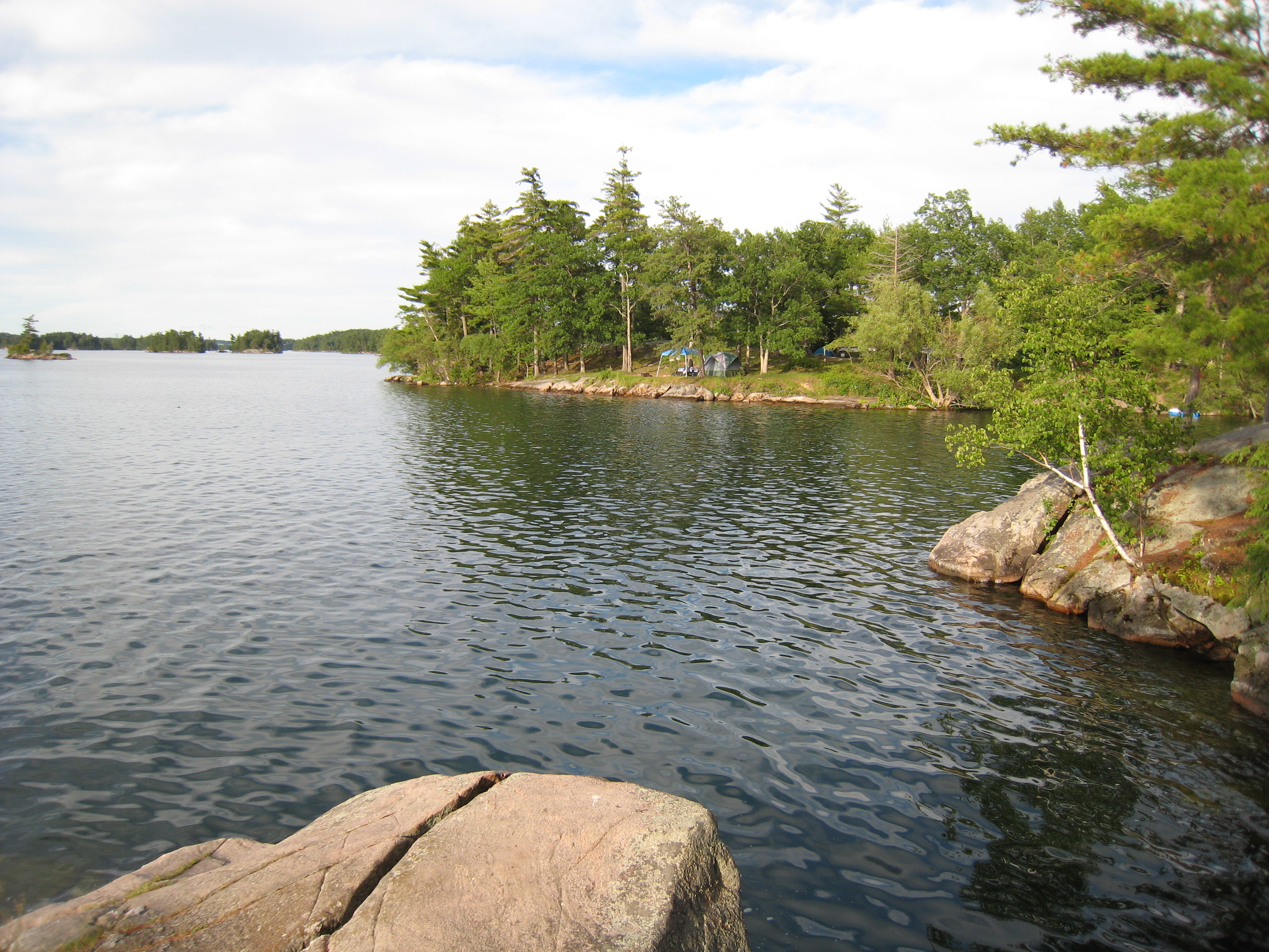
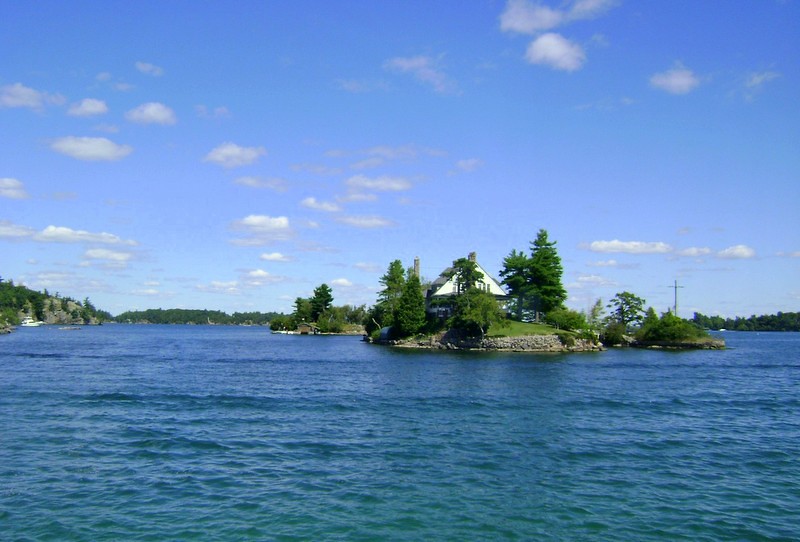
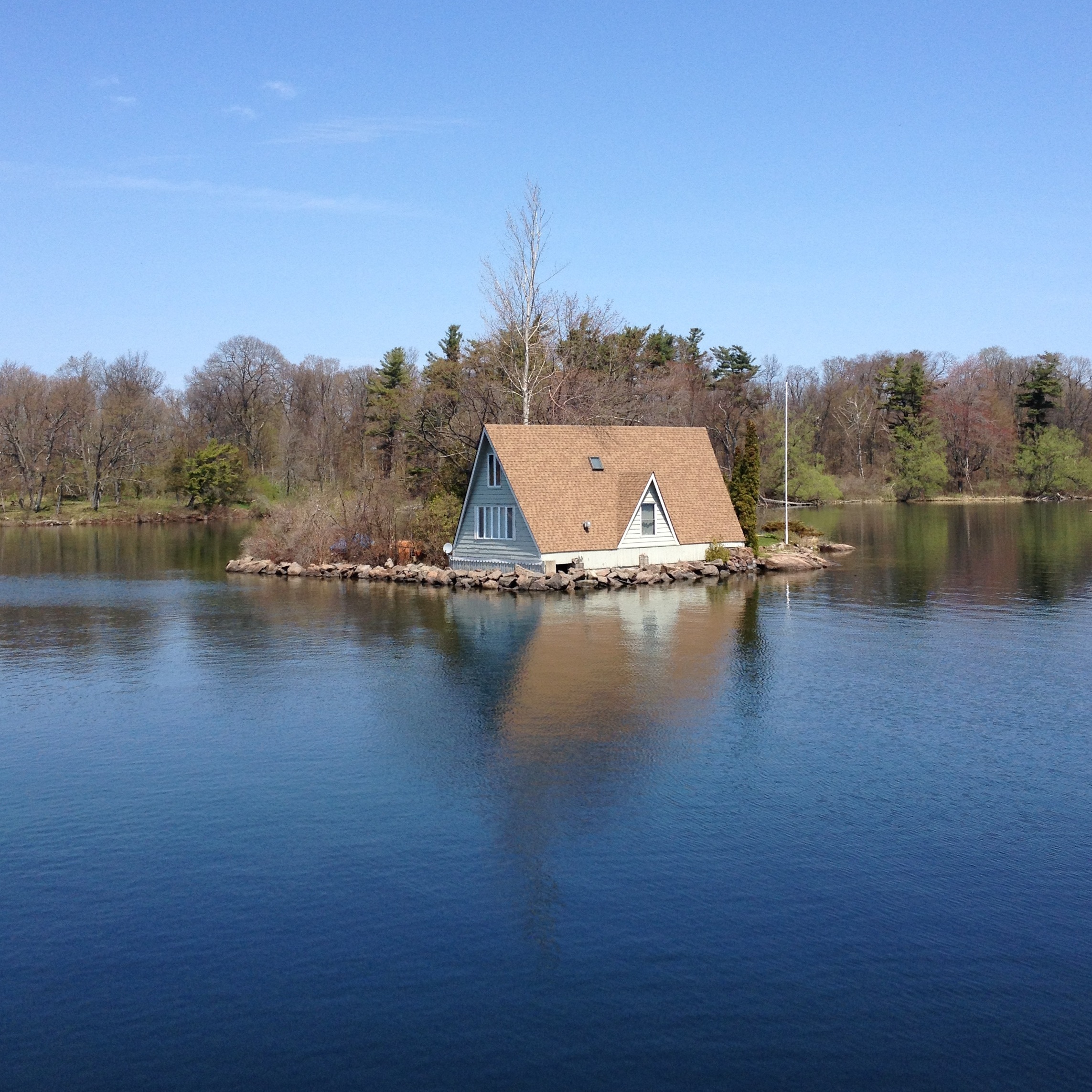
small island with house
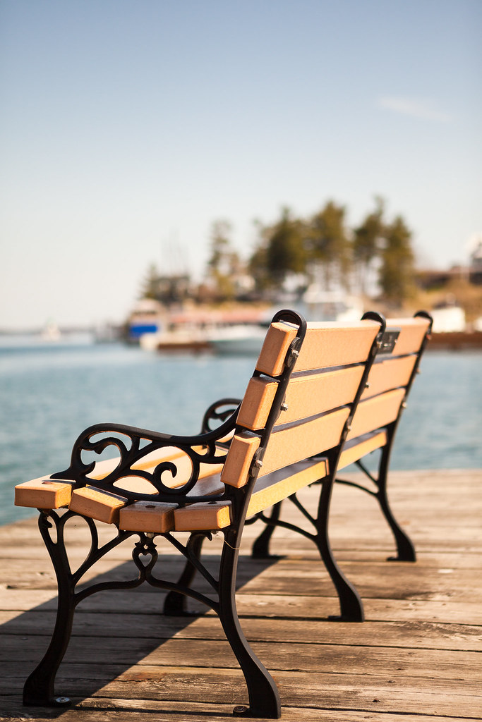
Chair at 1000 Island
Thousand Islands island
aug 08 008
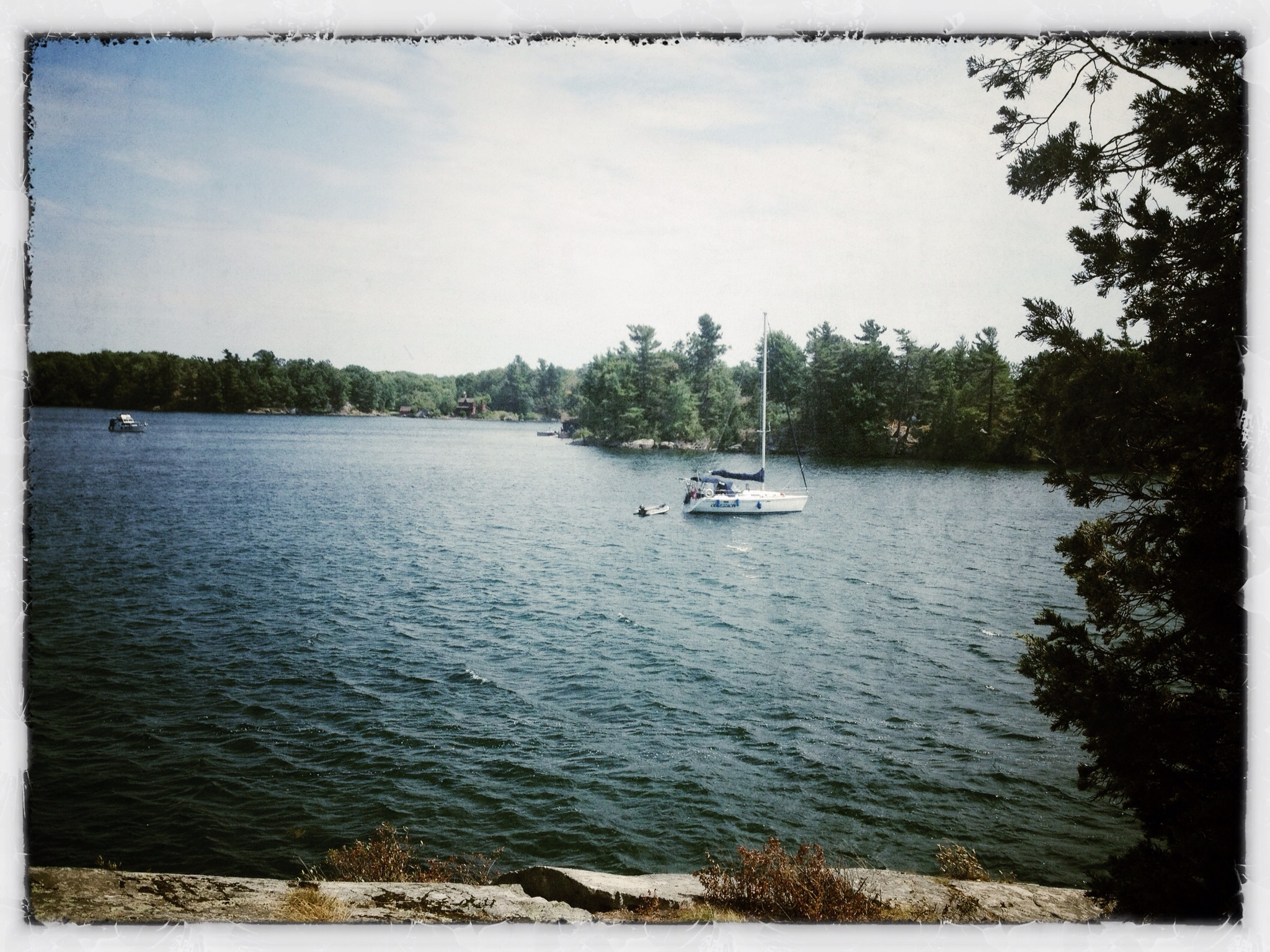
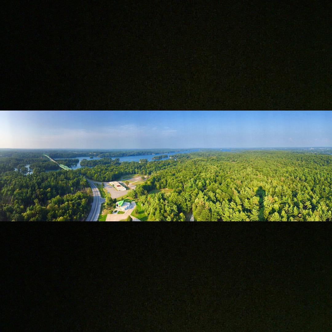
Photo Stream-836

Vacation 061

Vacation 074
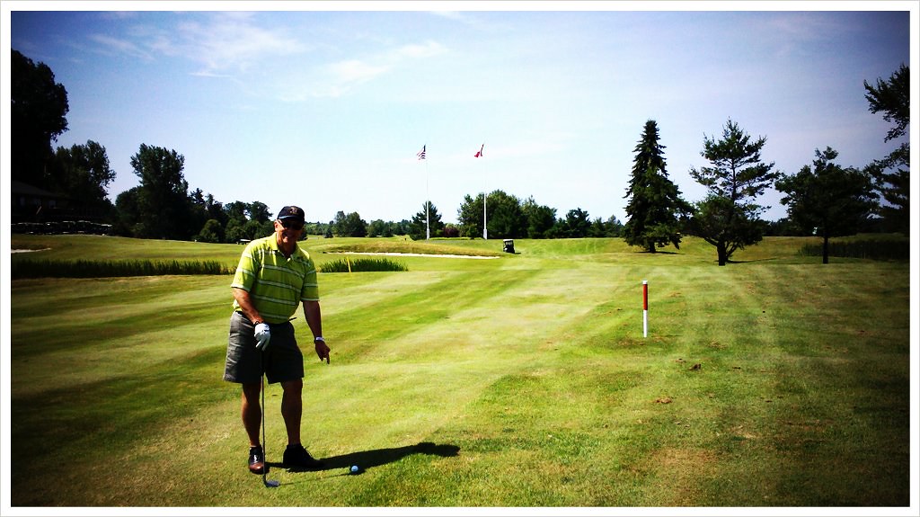
Father's Day Golf (Late) and the miracle golf ball!
Day 1 of the Rideau cruise - 8am, headed up the Bateau Channel to Kingston

A Little Ray of Sunshine
Trip to KYC Property 015

not a place to live in the winter
Topographic Map of Pine, Clayton, NY, USA
Find elevation by address:

Places near Pine, Clayton, NY, USA:
Clayton
Brown Rd, Clayton, NY, USA
16269 Grenell Island
Grenell Island, Clayton, NY, USA
Clayton
Reed Point Rd, Clayton, NY, USA
Fishers Landing
County Rd 5, Clayton, NY, USA
Seaway Avenue
Ledges Rd, Alexandria Bay, NY, USA
Collins Landing Road
Port Metcalfe Ln, Gananoque, ON K7G 3C7, Canada
County Rte 4, Clayton, NY, USA
Theresa St, La Fargeville, NY, USA
La Fargeville
Cedar Point State Park
Orleans
Howe Island Drive
NY-12E, Cape Vincent, NY, USA
County Rte 4, Cape Vincent, NY, USA
Recent Searches:
- Elevation of Corso Fratelli Cairoli, 35, Macerata MC, Italy
- Elevation of Tallevast Rd, Sarasota, FL, USA
- Elevation of 4th St E, Sonoma, CA, USA
- Elevation of Black Hollow Rd, Pennsdale, PA, USA
- Elevation of Oakland Ave, Williamsport, PA, USA
- Elevation of Pedrógão Grande, Portugal
- Elevation of Klee Dr, Martinsburg, WV, USA
- Elevation of Via Roma, Pieranica CR, Italy
- Elevation of Tavkvetili Mountain, Georgia
- Elevation of Hartfords Bluff Cir, Mt Pleasant, SC, USA