Elevation of County Rte 4, Cape Vincent, NY, USA
Location: United States > New York > Jefferson County >
Longitude: -76.241629
Latitude: 44.121681
Elevation: 94m / 308feet
Barometric Pressure: 100KPa
Elevation Map:
Satellite Map:
Related Photos:

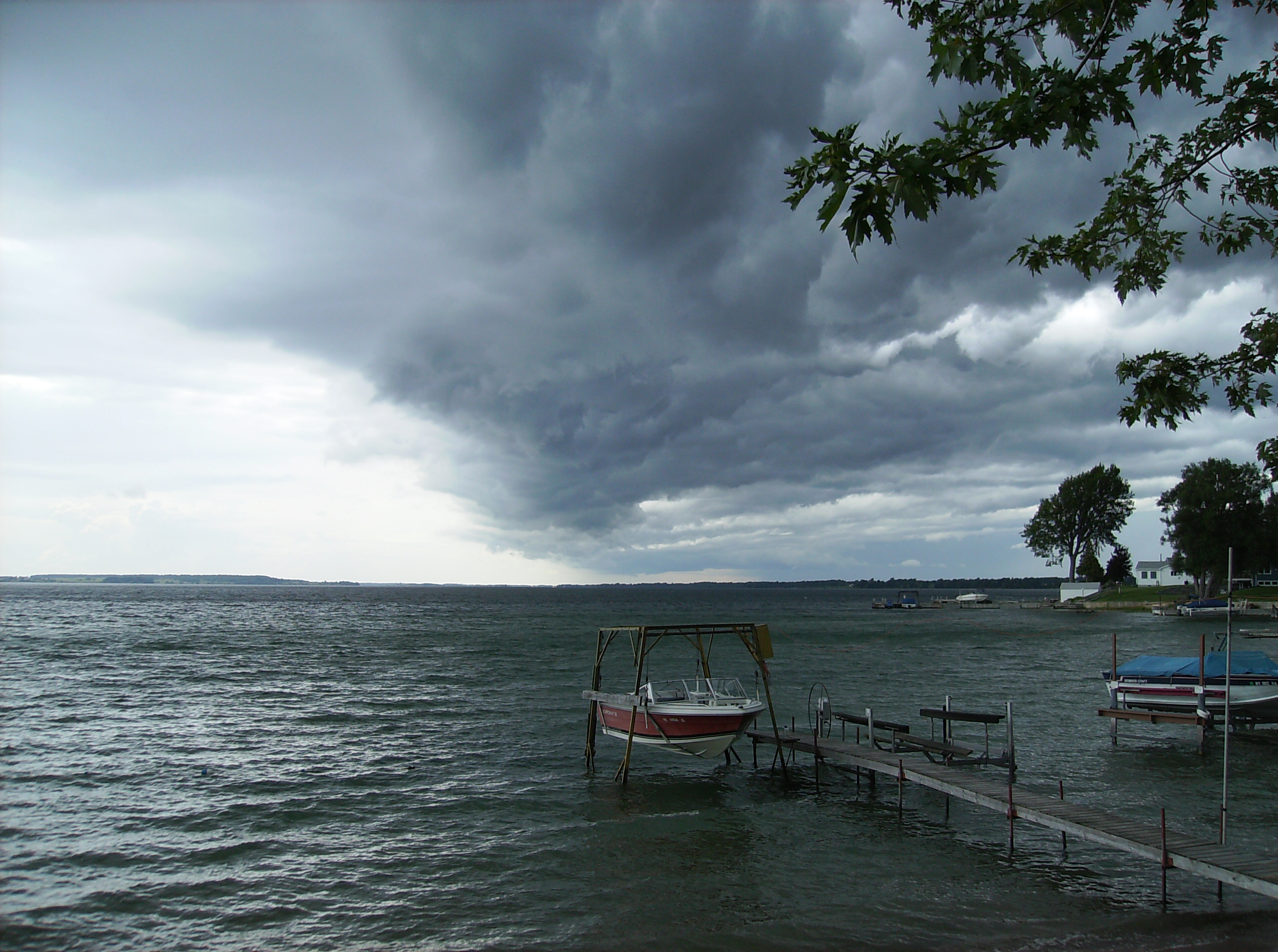
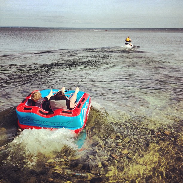
Cape Vincent Rocky Beach
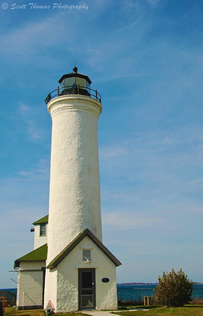
Tibbets Point Lighthouse
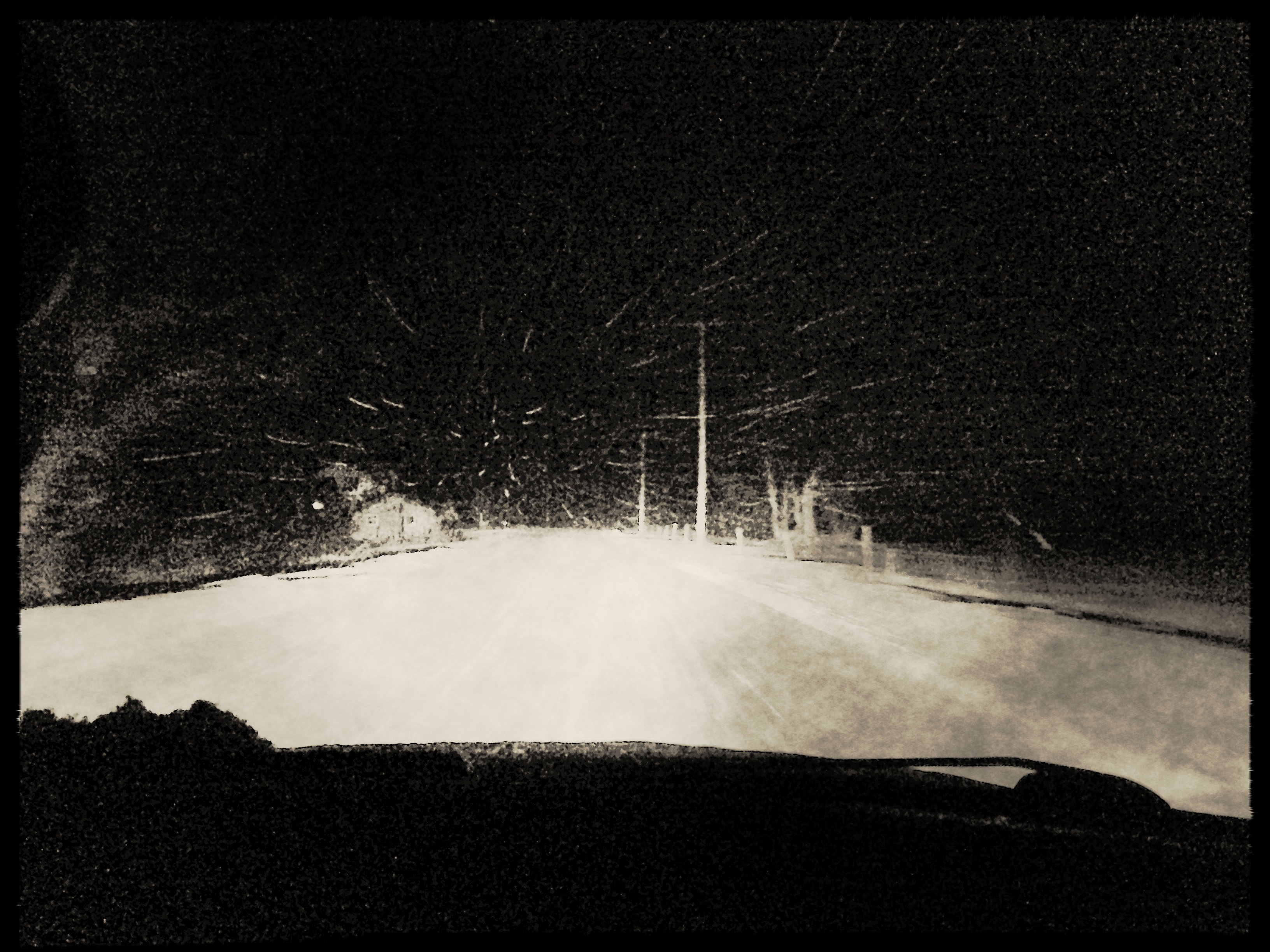
My view... #Snow
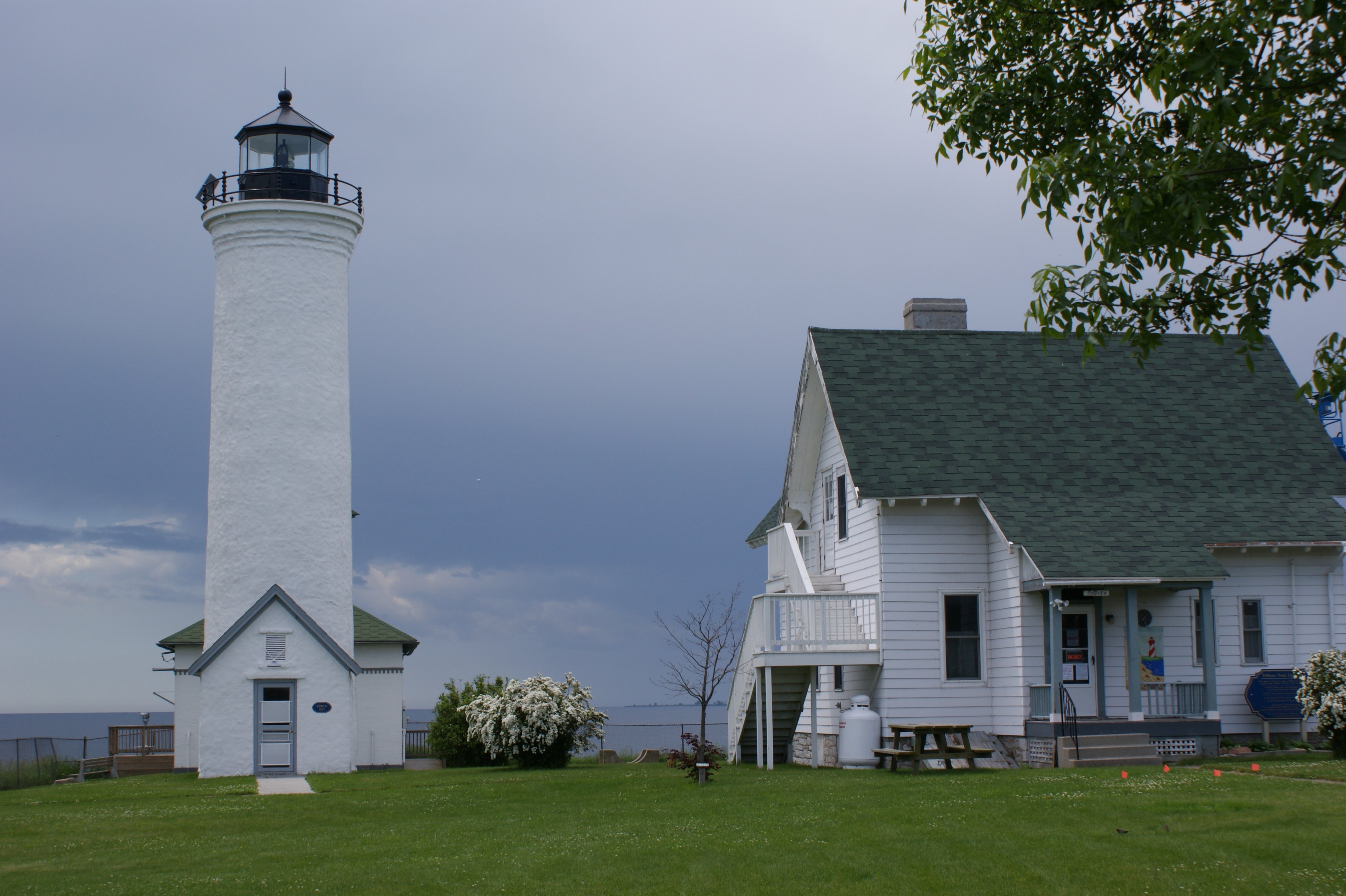
Tibbetts Point Light

Least Bittern
My view taking the trash out

Common Raven (Corvus corax)
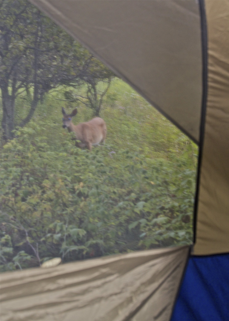
Through the Tent Window

Wild Turkey (Meleagris gallopavo)

Window at back of Christ Church

Northern Harrier (Circus cyaneus)

Northern Harrier (Circus cyaneus)

DSB_7796 (Large)

My View....
Port Metcalfe View of the St.Lawrence River
Fairwind View
Port Metclfe View of the S.Lawrence River

My view. #Battleship #Winner
Silo-home
Chaumont Barrens Preserve

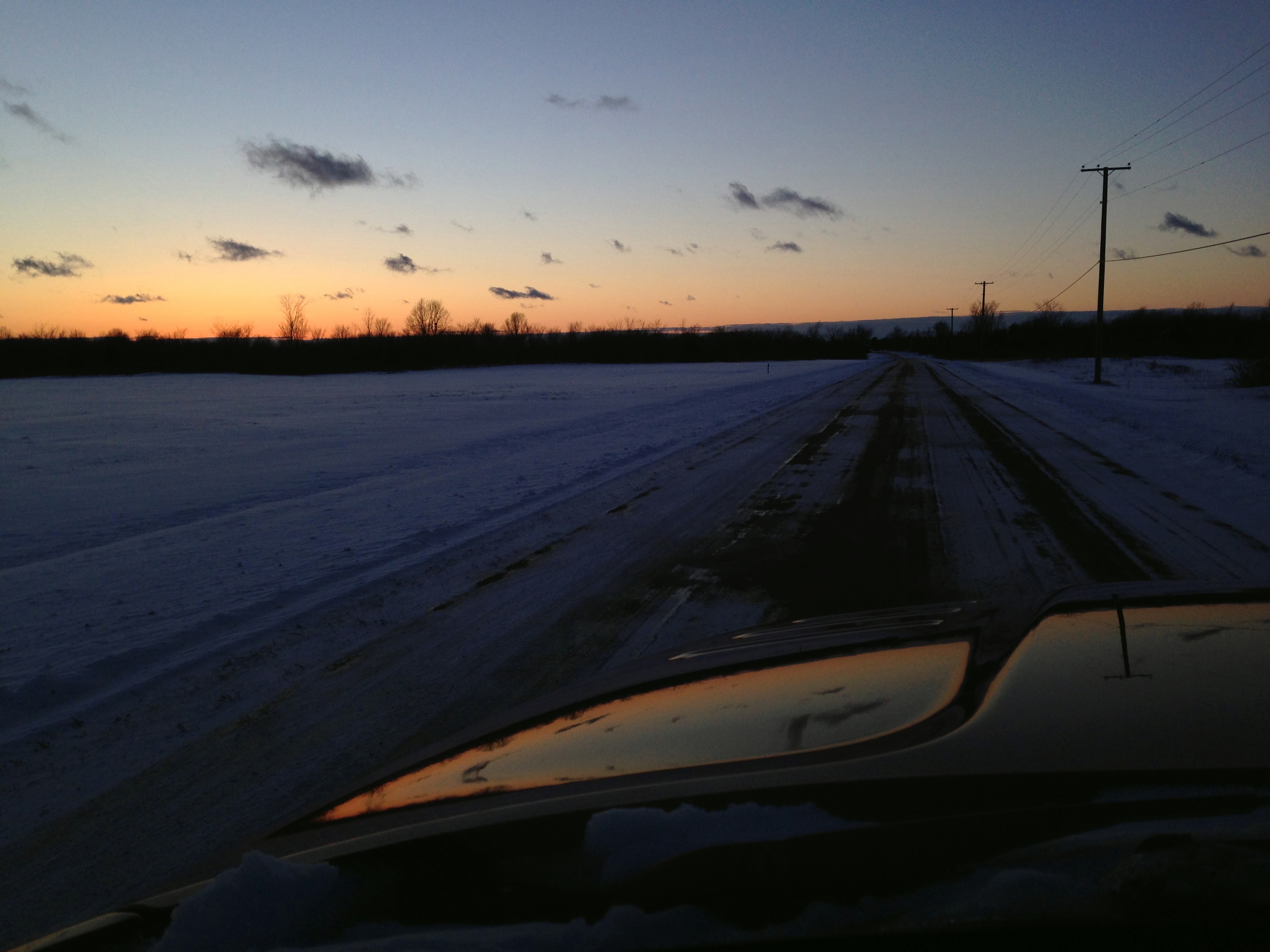
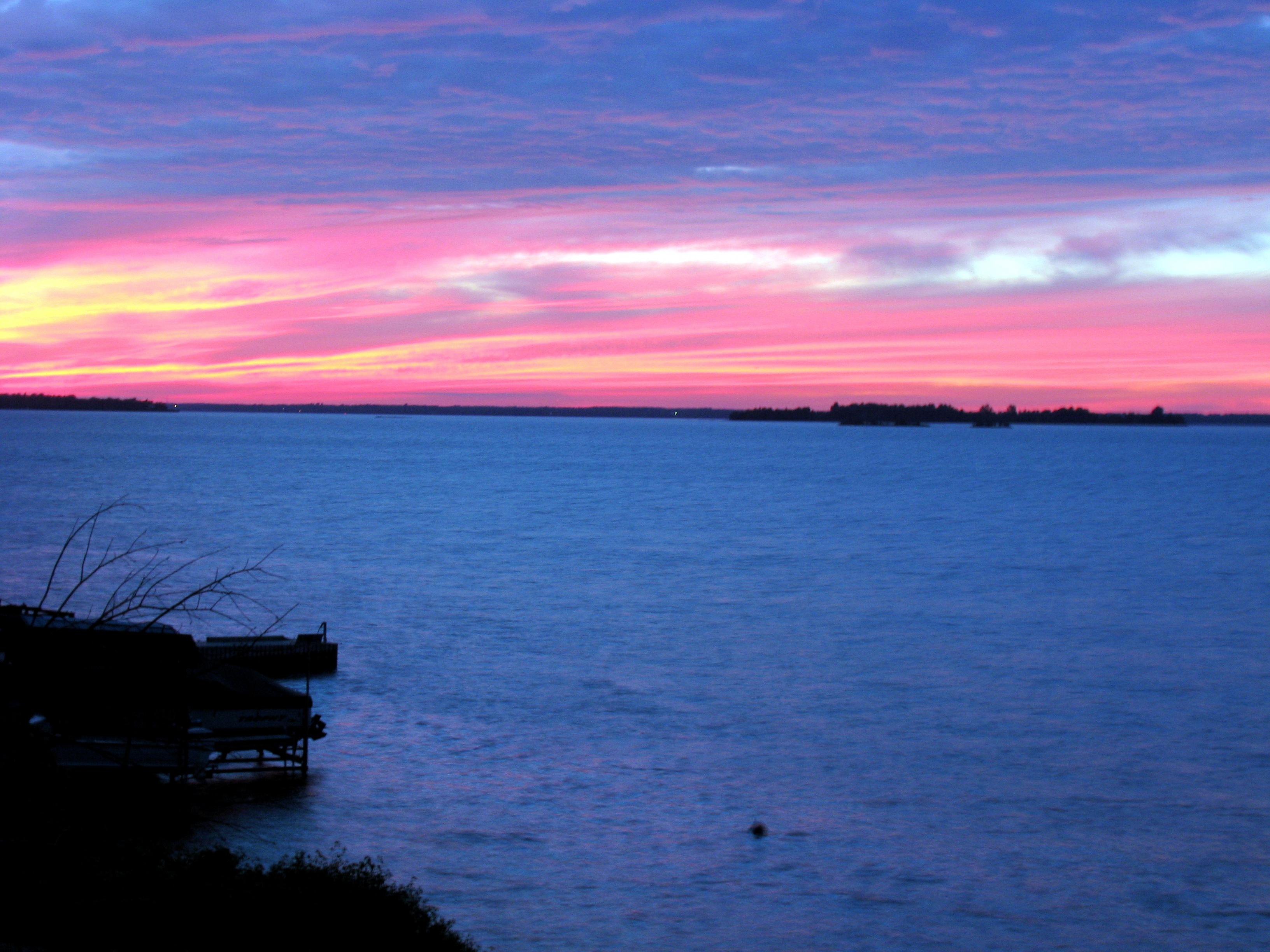
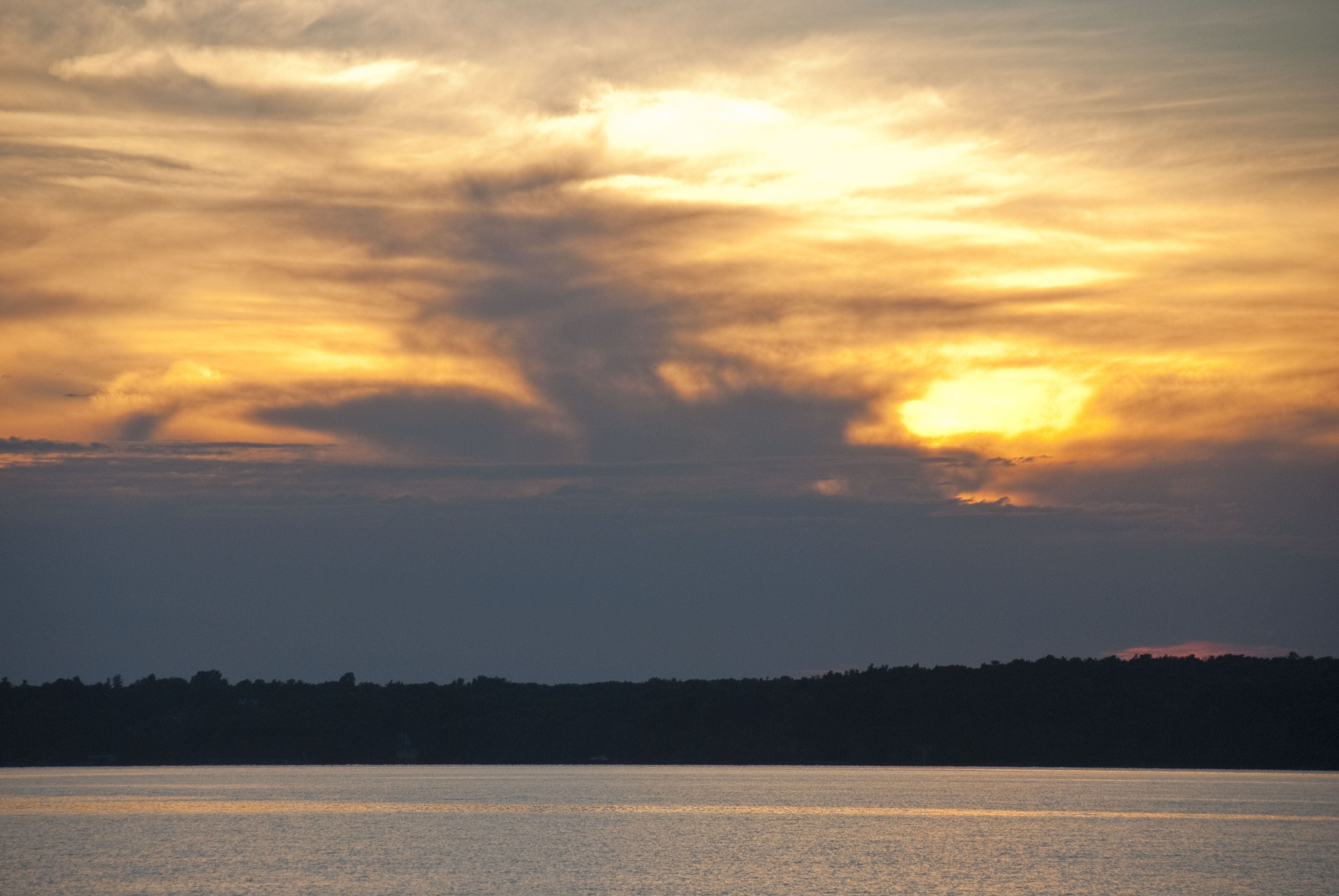
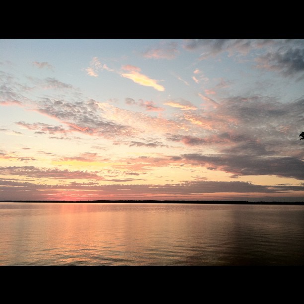
Sunset over St. Lawrence

Morning.... #makebeautiful
aug 08 008

Trip to KYC Property 015

Cottage.
Abandoned house, Wolfe Island, Ontario
aug 08 001

7/14/13
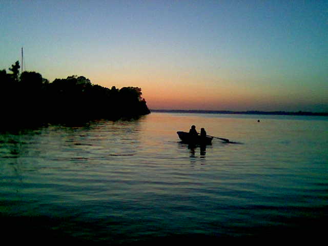
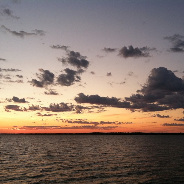
First Sunset Again

aug 08 002
Trip to KYC Property 011
20150724_151509_Richtone(HDR)

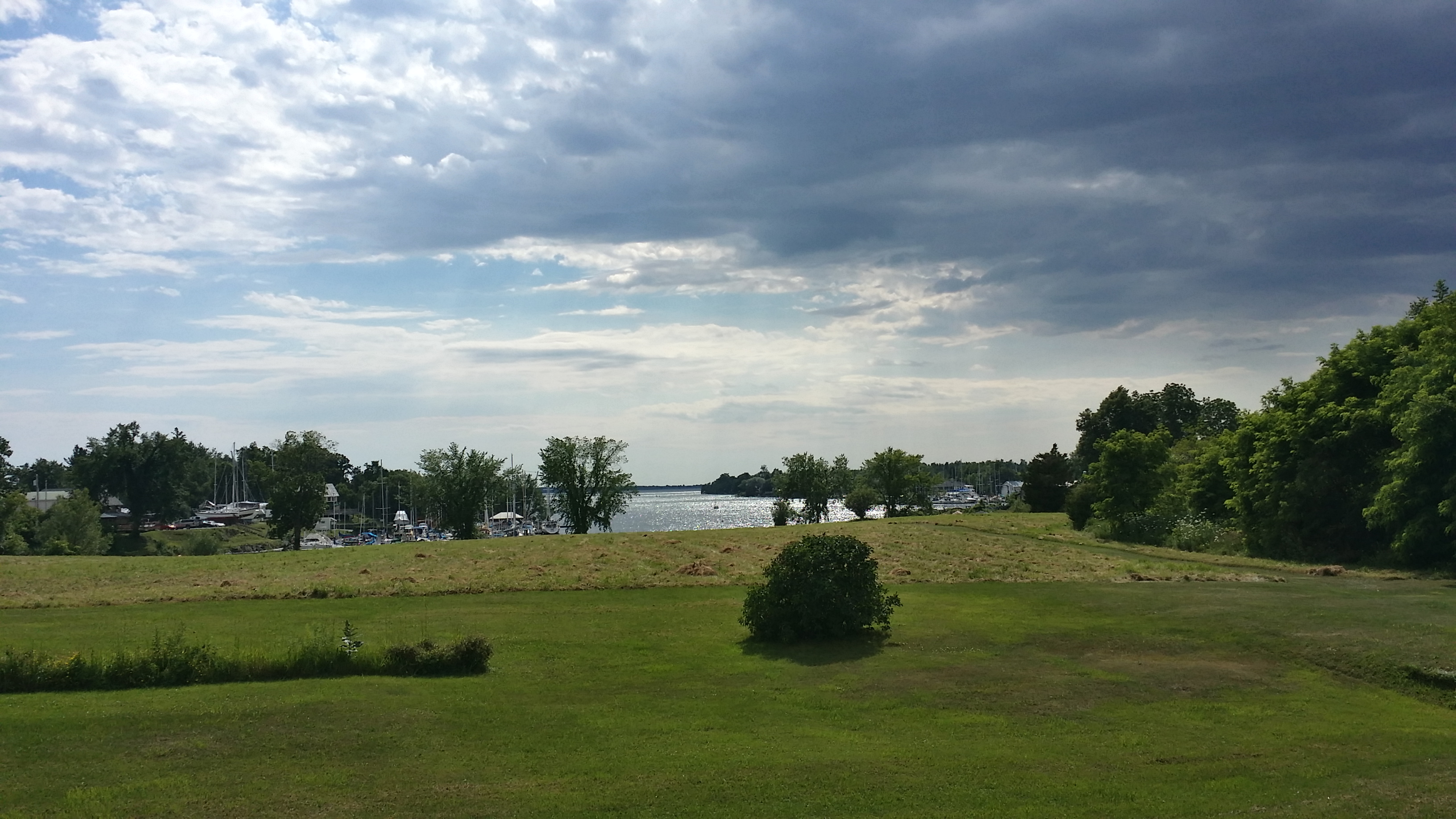
Chaumont, NY
DSC_7140.JPG
So I am up here for a sailboat race today....

Mil Islas (107)
Beautiful Sunset 8/26
Another adequate sunset...
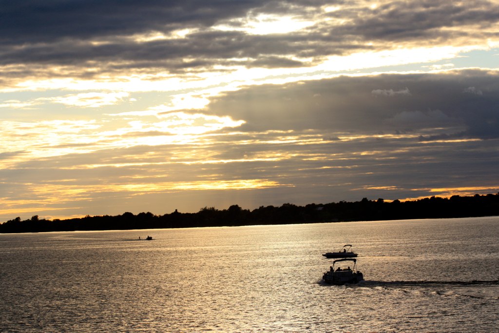
And they're off!
Chaumont Bay Sunset
Topographic Map of County Rte 4, Cape Vincent, NY, USA
Find elevation by address:

Places near County Rte 4, Cape Vincent, NY, USA:
NY-12E, Cape Vincent, NY, USA
Cedar Point State Park
County Rte 4, Clayton, NY, USA
Port Metcalfe Ln, Gananoque, ON K7G 3C7, Canada
Howe Island Drive
Clayton
Brown Rd, Clayton, NY, USA
Clayton
County Rd 5, Clayton, NY, USA
Pine, Clayton, NY, USA
16269 Grenell Island
Grenell Island, Clayton, NY, USA
Reed Point Rd, Clayton, NY, USA
Fishers Landing
Theresa St, La Fargeville, NY, USA
La Fargeville
Ledges Rd, Alexandria Bay, NY, USA
Orleans
Seaway Avenue
Collins Landing Road
Recent Searches:
- Elevation of Corso Fratelli Cairoli, 35, Macerata MC, Italy
- Elevation of Tallevast Rd, Sarasota, FL, USA
- Elevation of 4th St E, Sonoma, CA, USA
- Elevation of Black Hollow Rd, Pennsdale, PA, USA
- Elevation of Oakland Ave, Williamsport, PA, USA
- Elevation of Pedrógão Grande, Portugal
- Elevation of Klee Dr, Martinsburg, WV, USA
- Elevation of Via Roma, Pieranica CR, Italy
- Elevation of Tavkvetili Mountain, Georgia
- Elevation of Hartfords Bluff Cir, Mt Pleasant, SC, USA