Elevation of Pincher Creek, AB T0K, Canada
Location: Canada > Alberta > Division No. 3 >
Longitude: -113.95025
Latitude: 49.4863458
Elevation: 1140m / 3740feet
Barometric Pressure: 88KPa
Elevation Map:
Satellite Map:
Related Photos:
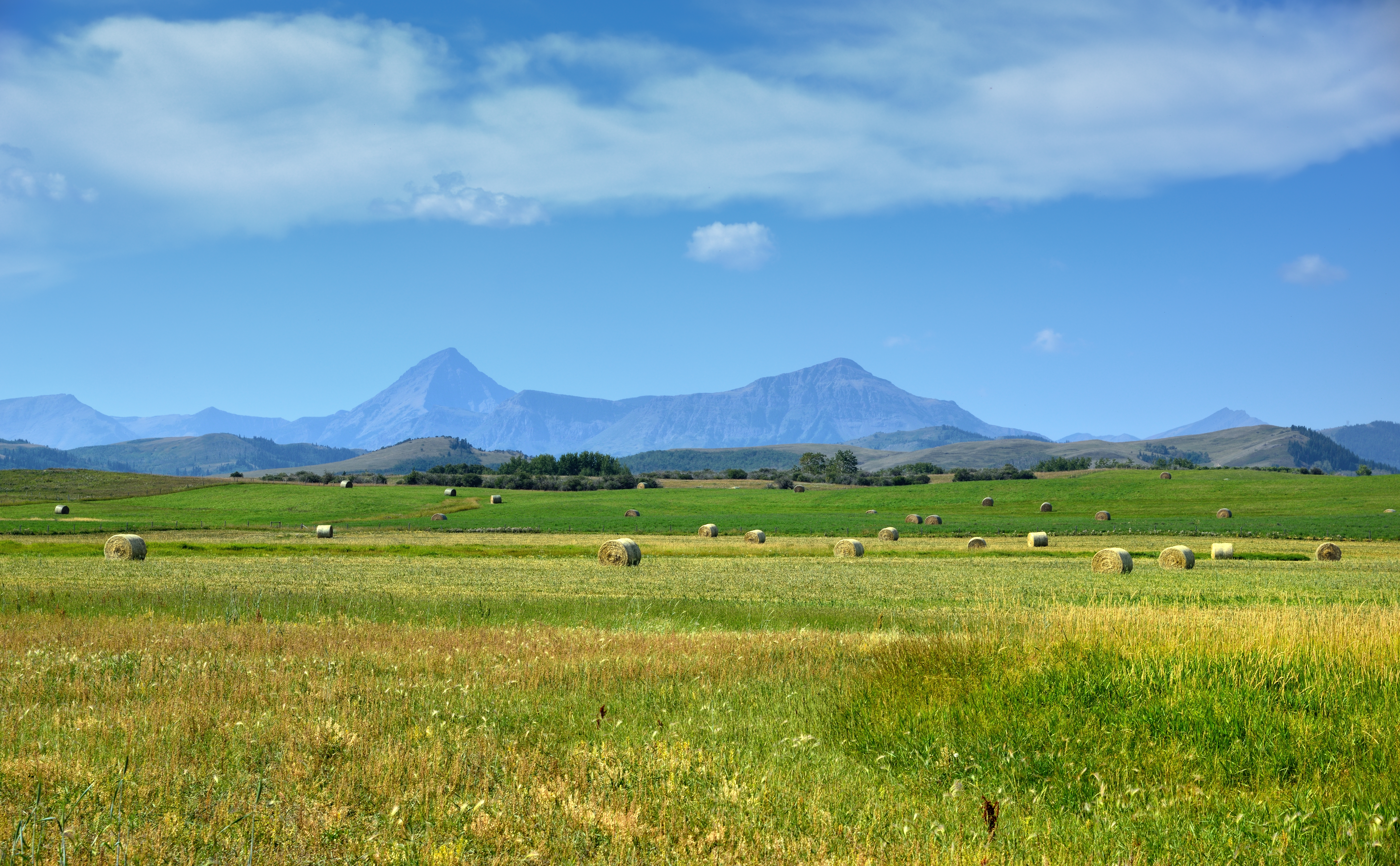
Prairie Meets the Mountains
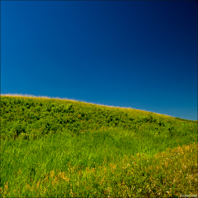
A Hill
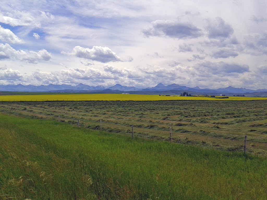
2014-07-20 13.47.46_edited-1
Topographic Map of Pincher Creek, AB T0K, Canada
Find elevation by address:

Places near Pincher Creek, AB T0K, Canada:
Pincher Creek Airport
Pincher Creek No. 9
Beauvais Lake Provincial Park
Lundbreck
Beaver Mines
Robertson Peak
Hillcrest Mines
Frank
Rainy Ridge N
Rainy Ridge
1629 129 St
20 Ave, Blairmore, AB T0K 0E0, Canada
Pass Powderkeg Ski Area
12202 18 Ave
12202 18 Ave
12202 18 Ave
Three Lakes Ridge
Blairmore
Gravenstafel Ridge
Syncline Mountain
Recent Searches:
- Elevation of Corso Fratelli Cairoli, 35, Macerata MC, Italy
- Elevation of Tallevast Rd, Sarasota, FL, USA
- Elevation of 4th St E, Sonoma, CA, USA
- Elevation of Black Hollow Rd, Pennsdale, PA, USA
- Elevation of Oakland Ave, Williamsport, PA, USA
- Elevation of Pedrógão Grande, Portugal
- Elevation of Klee Dr, Martinsburg, WV, USA
- Elevation of Via Roma, Pieranica CR, Italy
- Elevation of Tavkvetili Mountain, Georgia
- Elevation of Hartfords Bluff Cir, Mt Pleasant, SC, USA