Elevation of Syncline Mountain, Pincher Creek No. 9, AB T0K, Canada
Location: Canada > Alberta > Division No. 3 > Pincher Creek No. 9 >
Longitude: -114.46166
Latitude: 49.3583333
Elevation: 2415m / 7923feet
Barometric Pressure: 75KPa
Elevation Map:
Satellite Map:
Related Photos:
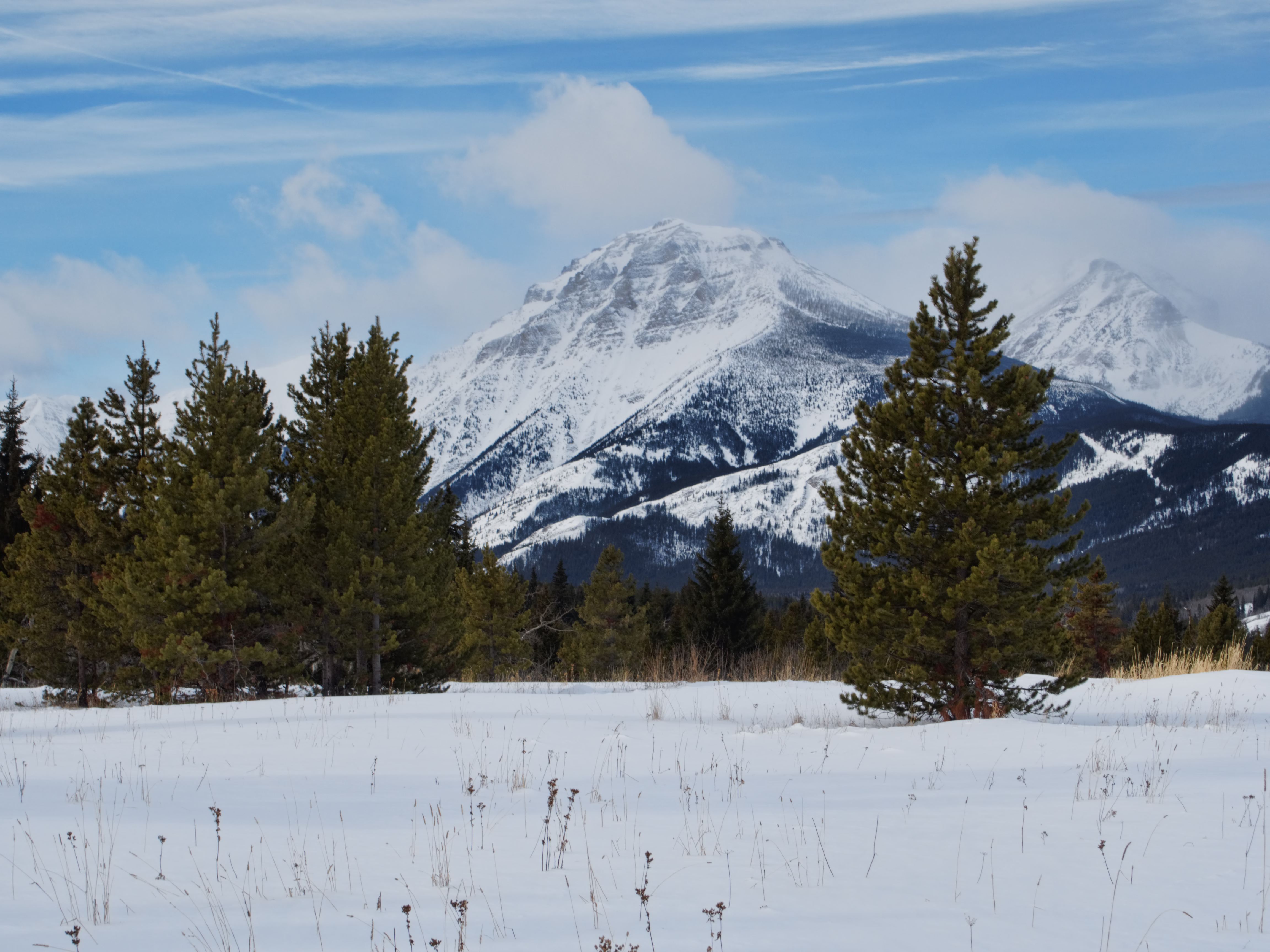
P2240018 Syncline Mtn viewed from near the Castle River, Alberta

Valley View

First View
Topographic Map of Syncline Mountain, Pincher Creek No. 9, AB T0K, Canada
Find elevation by address:

Places near Syncline Mountain, Pincher Creek No. 9, AB T0K, Canada:
St. Eloi Mountain
Saint Eloi Sw1
Mount Mccarty
Gravenstafel Ridge
Saint Eloi Sw3
Mount Haig
Tombstone Mountain
Haig S3
Packhorse Peak
Centre E3
Rainy Ridge N
Three Lakes Ridge
Darrah Se4
Rainy Ridge
Centre Se1
Centre Mountain
Mount Borsato
Darrah S2
Mount Darrah
Darrah Sw1
Recent Searches:
- Elevation of Corso Fratelli Cairoli, 35, Macerata MC, Italy
- Elevation of Tallevast Rd, Sarasota, FL, USA
- Elevation of 4th St E, Sonoma, CA, USA
- Elevation of Black Hollow Rd, Pennsdale, PA, USA
- Elevation of Oakland Ave, Williamsport, PA, USA
- Elevation of Pedrógão Grande, Portugal
- Elevation of Klee Dr, Martinsburg, WV, USA
- Elevation of Via Roma, Pieranica CR, Italy
- Elevation of Tavkvetili Mountain, Georgia
- Elevation of Hartfords Bluff Cir, Mt Pleasant, SC, USA