Elevation of Pilot Butte Ave, Rock Springs, WY, USA
Location: United States > Wyoming > Rock Springs >
Longitude: -109.21442
Latitude: 41.5941869
Elevation: 1907m / 6257feet
Barometric Pressure: 80KPa
Elevation Map:
Satellite Map:
Related Photos:
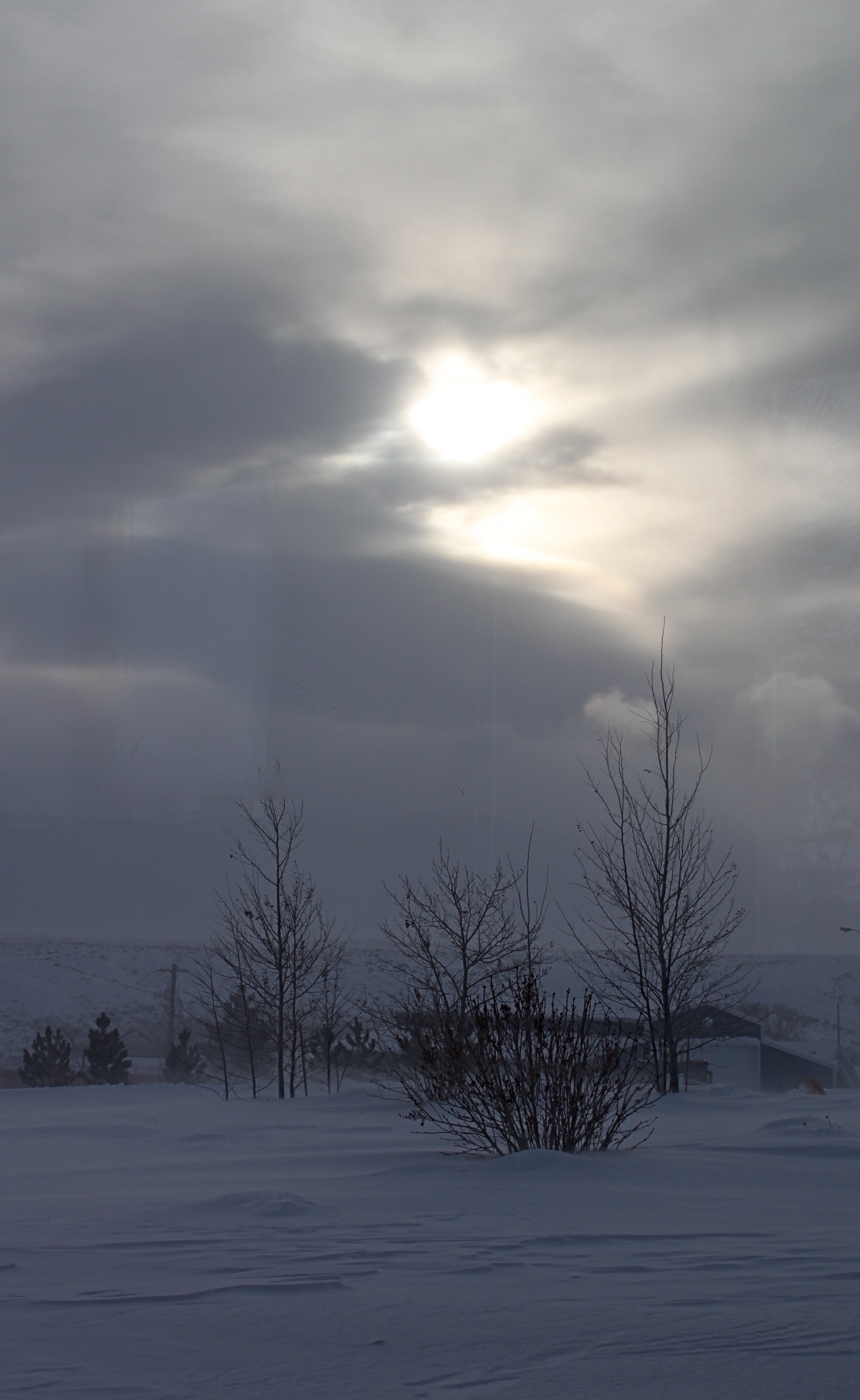
38º Below - Happy New Year

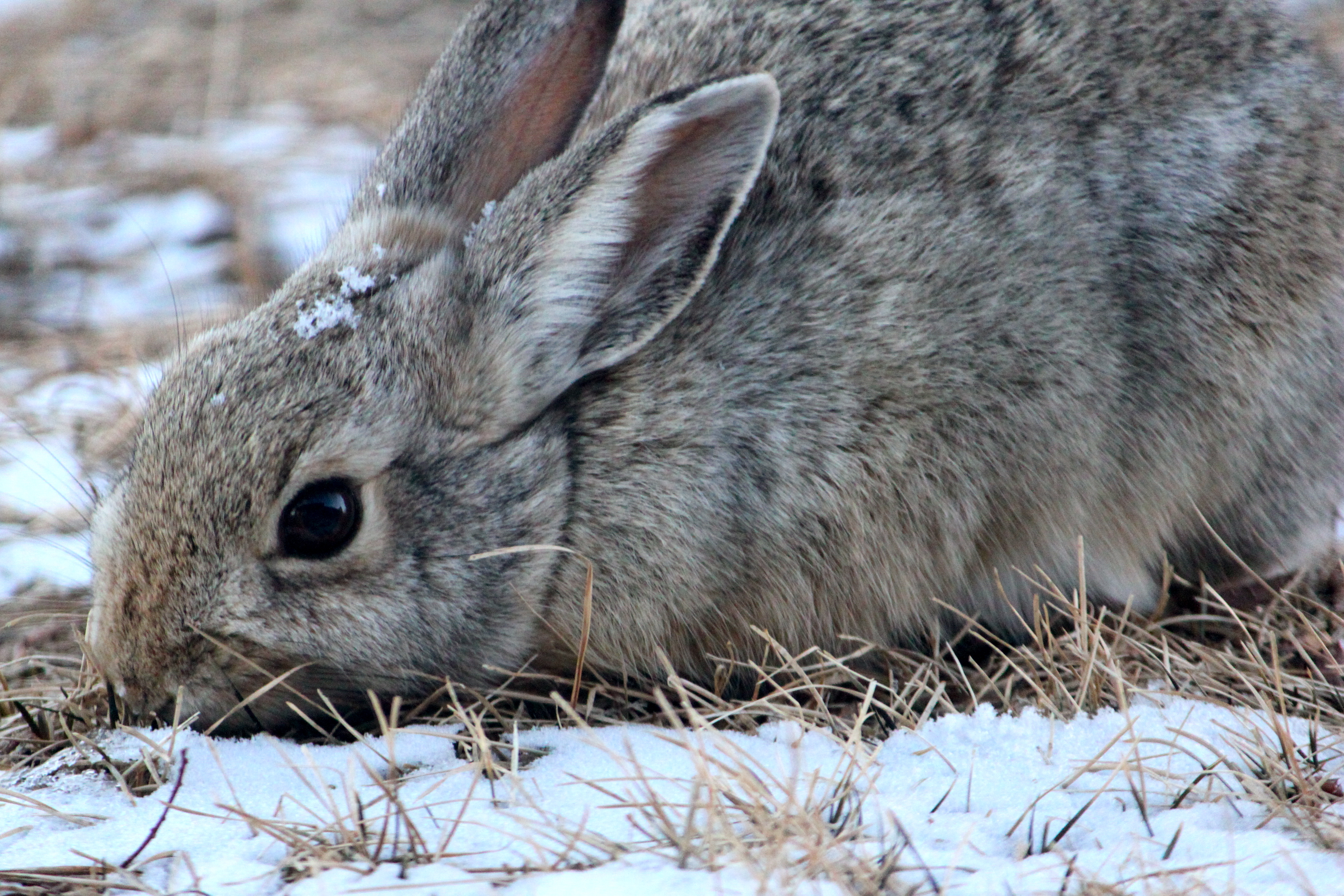
Snuggle Bunny for My Valentine
Ferocious Feeding - for Sasha
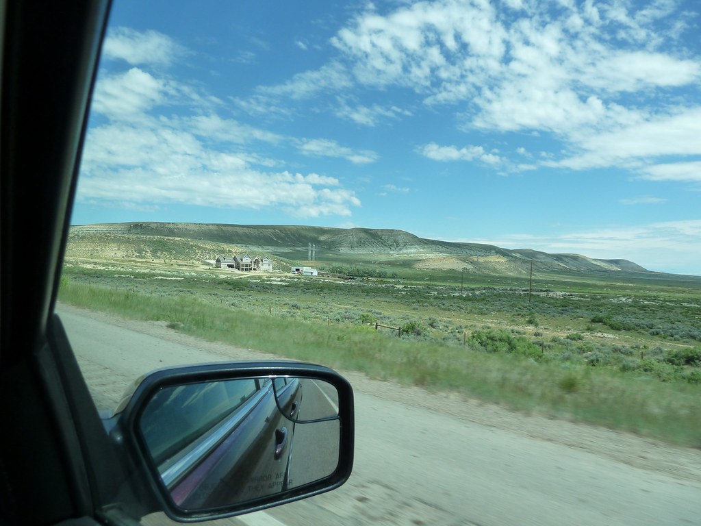
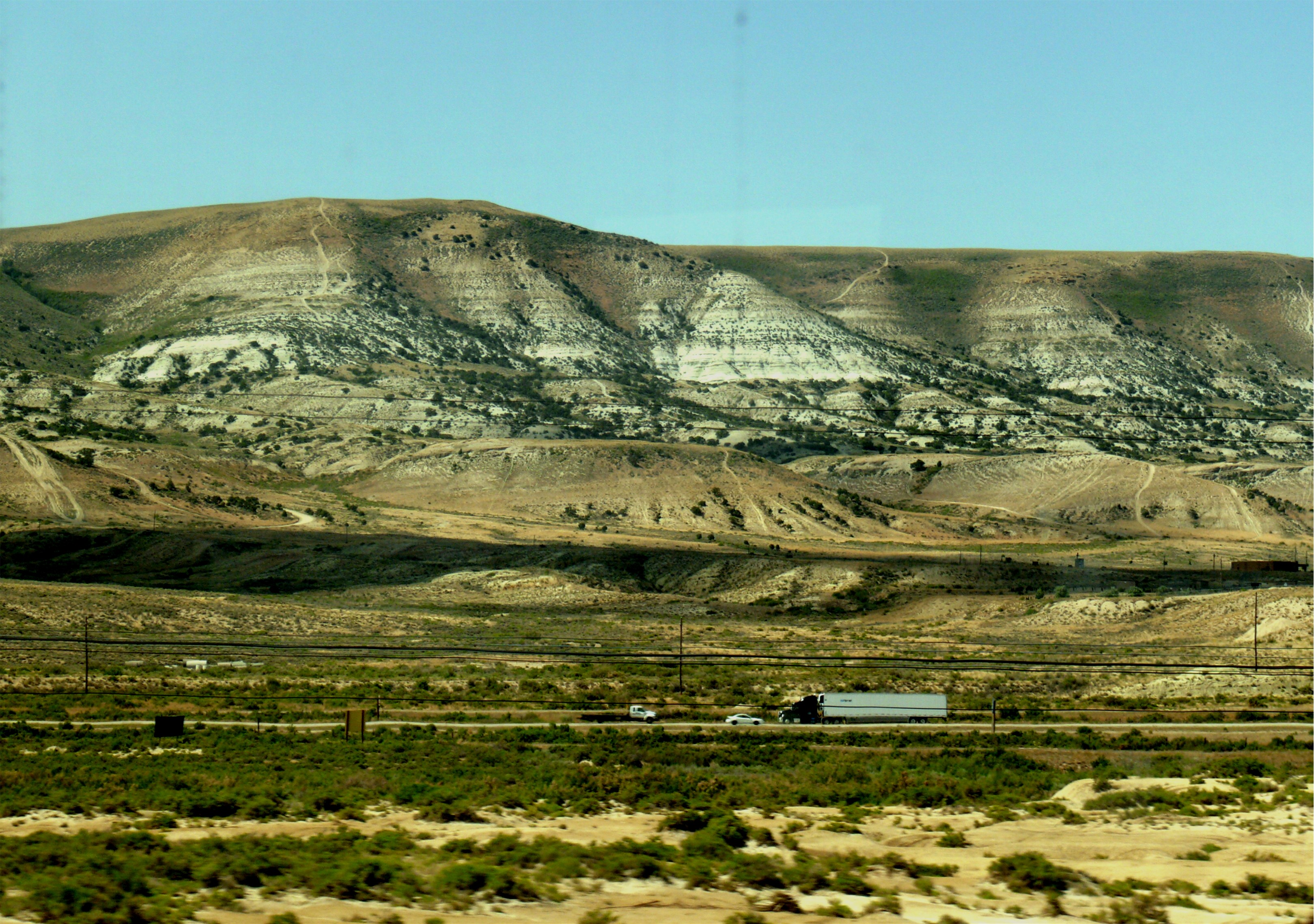
views from the road: from Rock Springs to Jackson
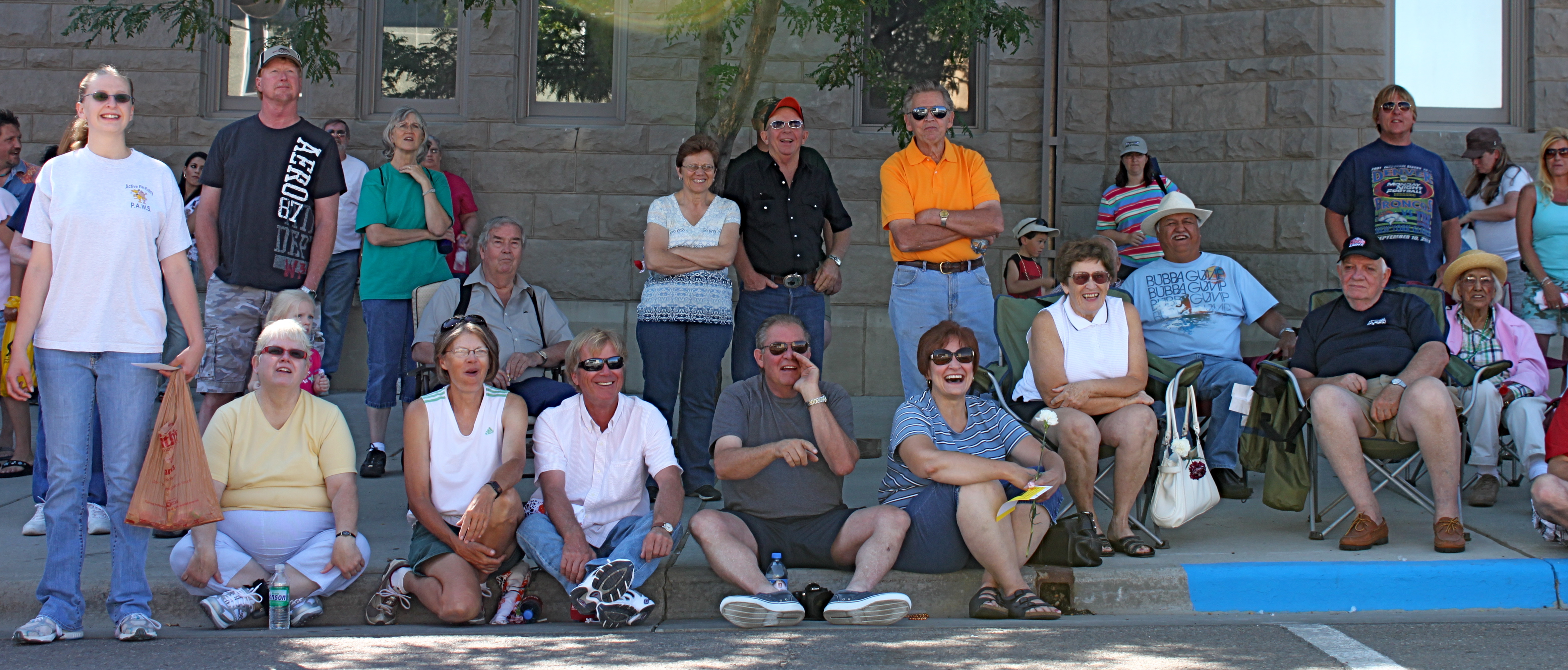
Parade Happiness
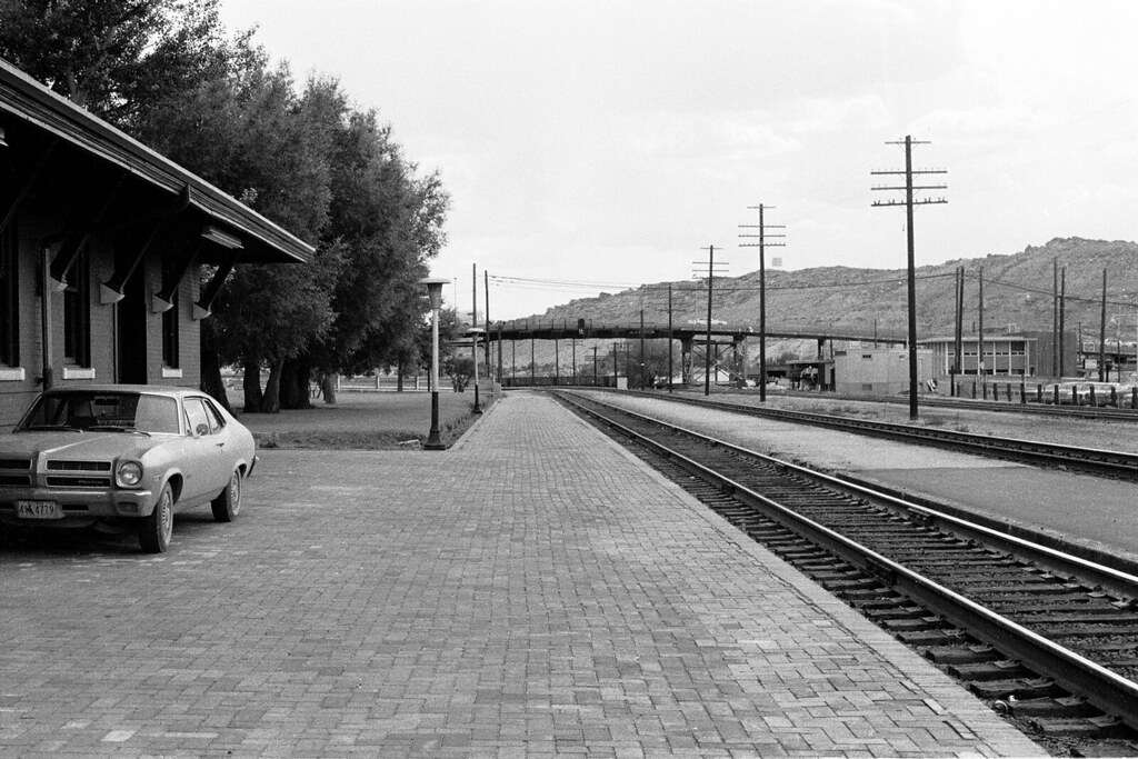
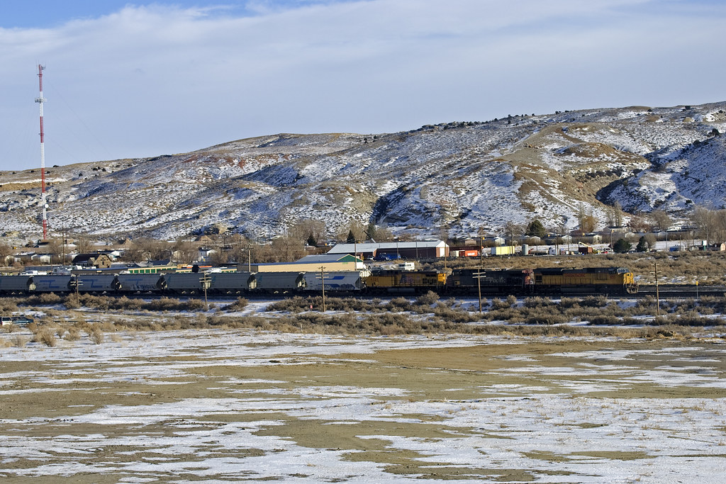
View from the Railroad Station
views from the road: from Rock Springs to Jackson
views from the road: from Rock Springs to Jackson
F-101, Rock Springs,WY.
IMG_6033 Siam King, Rock Springs WY

views from the road: from Rock Springs to Jackson
views from the road: from Rock Springs to Jackson
views from the road: from Rock Springs to Jackson
views from the road: from Rock Springs to Jackson
views from the road: from Rock Springs to Jackson
views from the road: from Rock Springs to Jackson

A grain train
It's Green
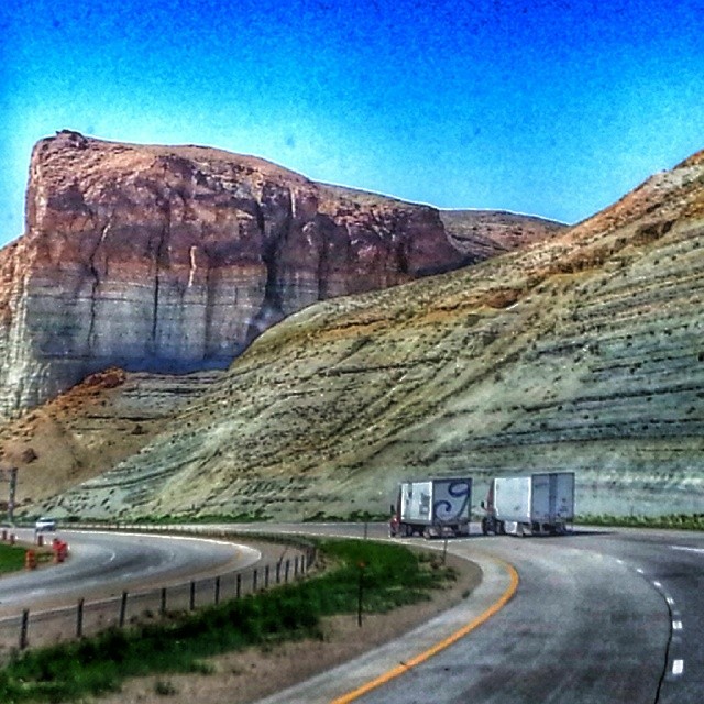
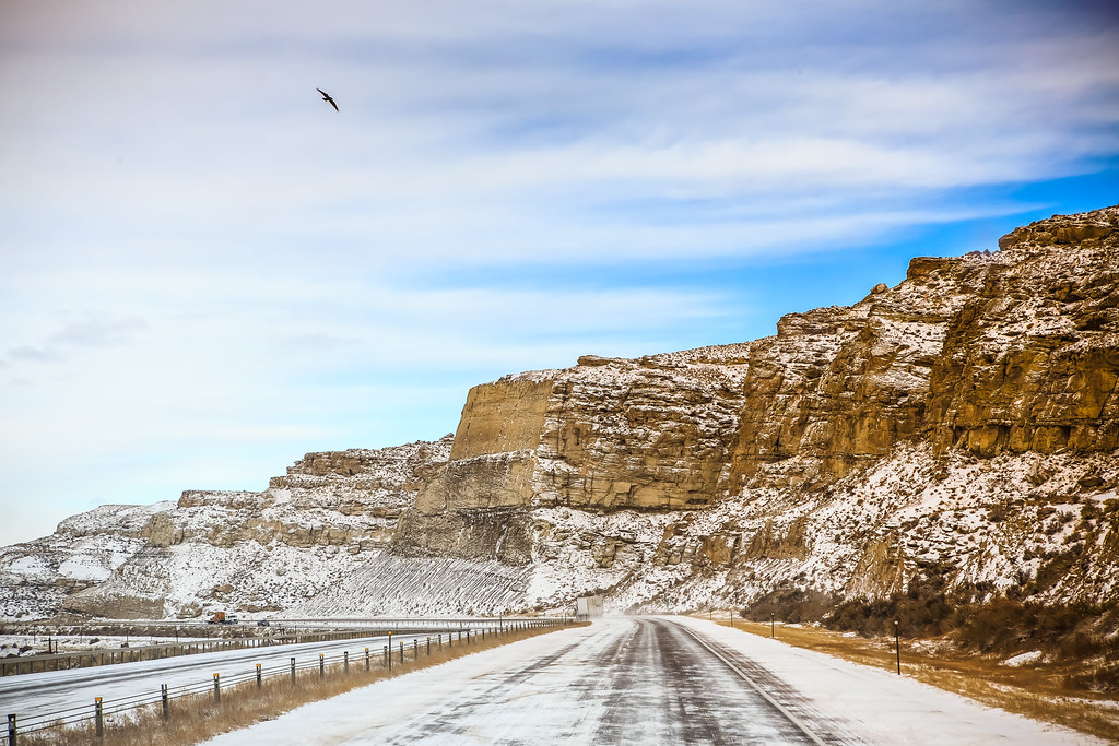
WY-430 North To I-80
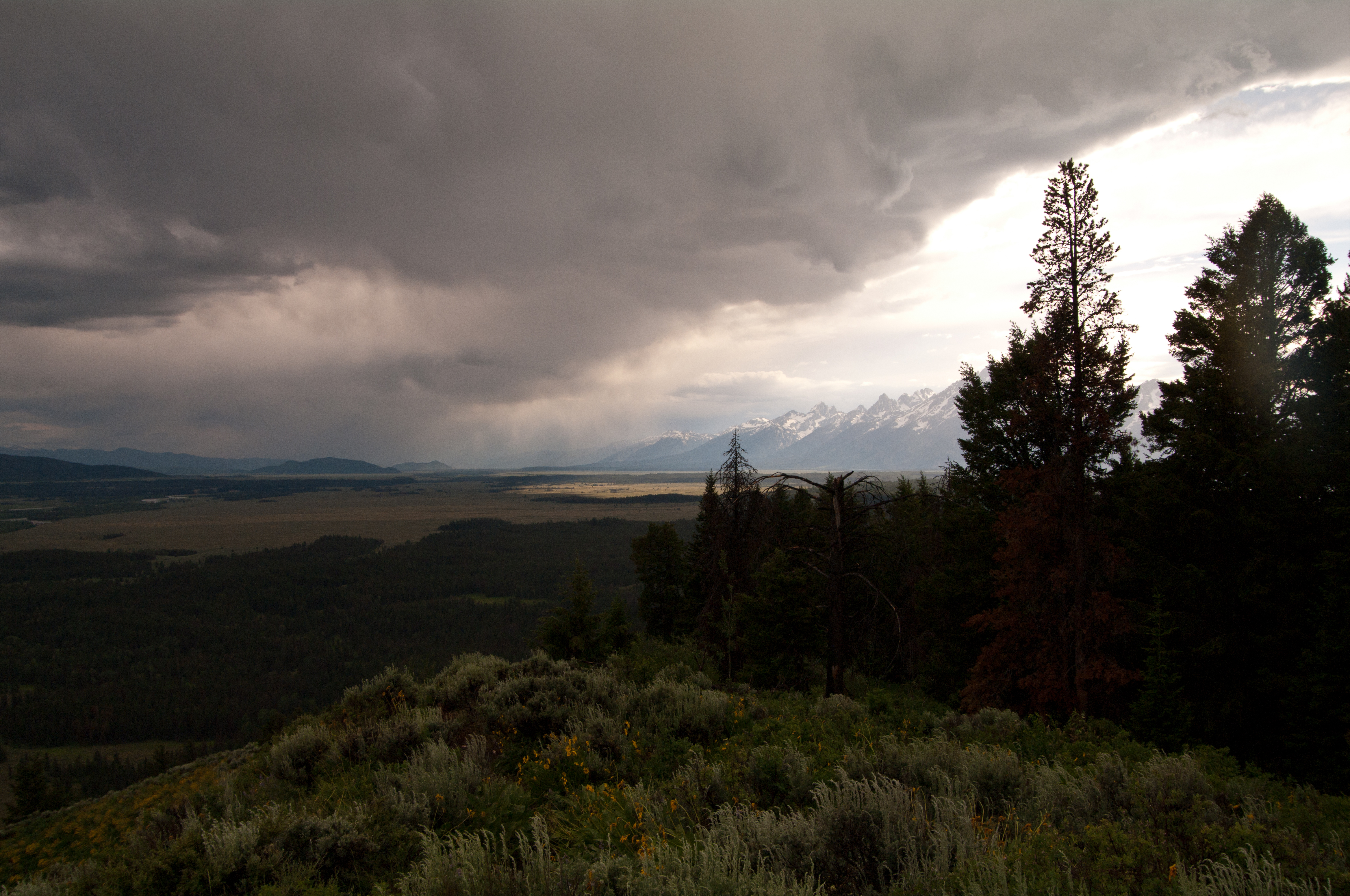
Tetons from Signal Mountain Peak

Migrating Runes
IMG_0749.JPG
#truckdrivers #onTheRoad

Pilot Butte, Rock Springs, WY
Long shadow
20090802 083 near Rock Springs, WY
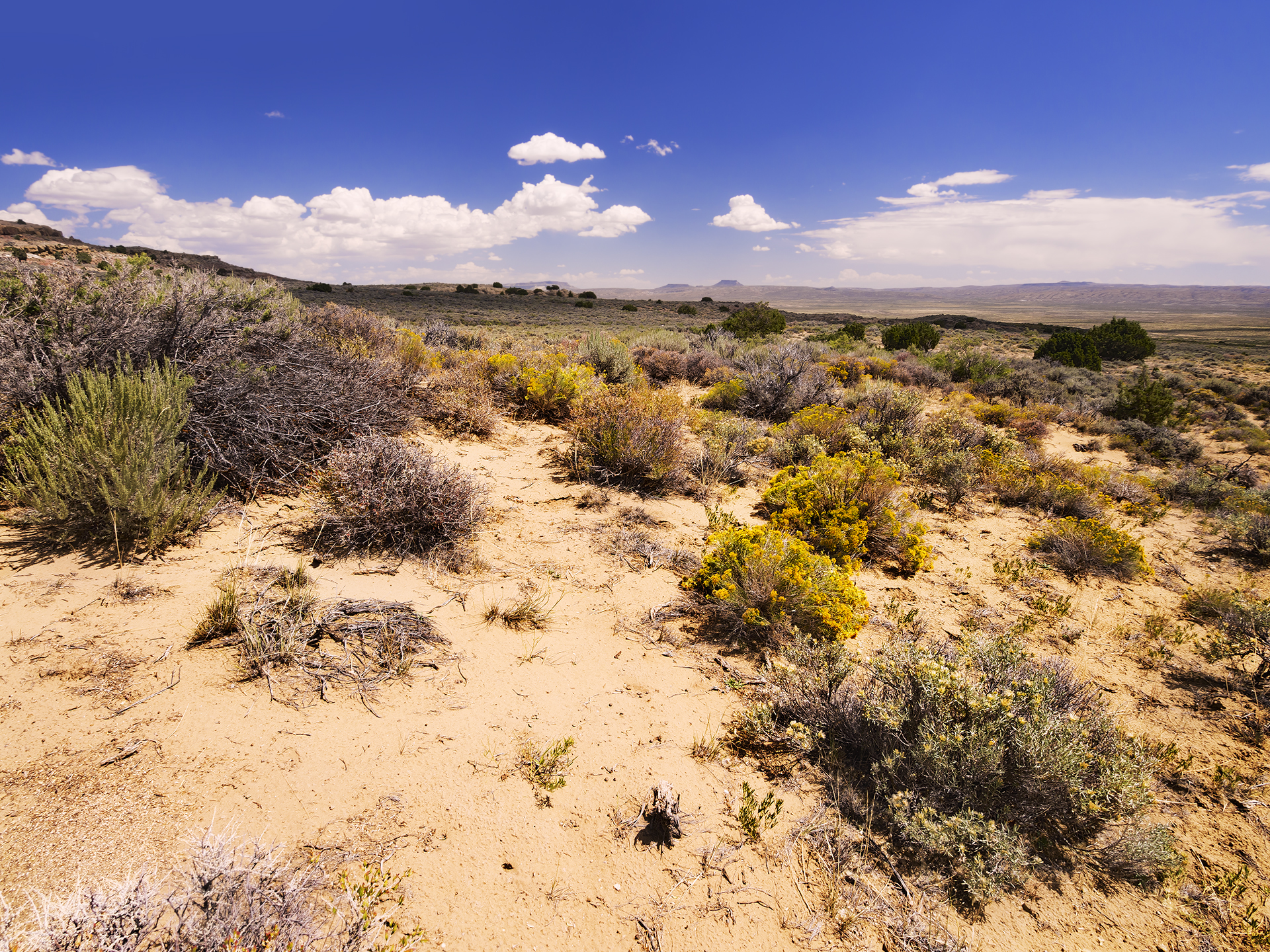
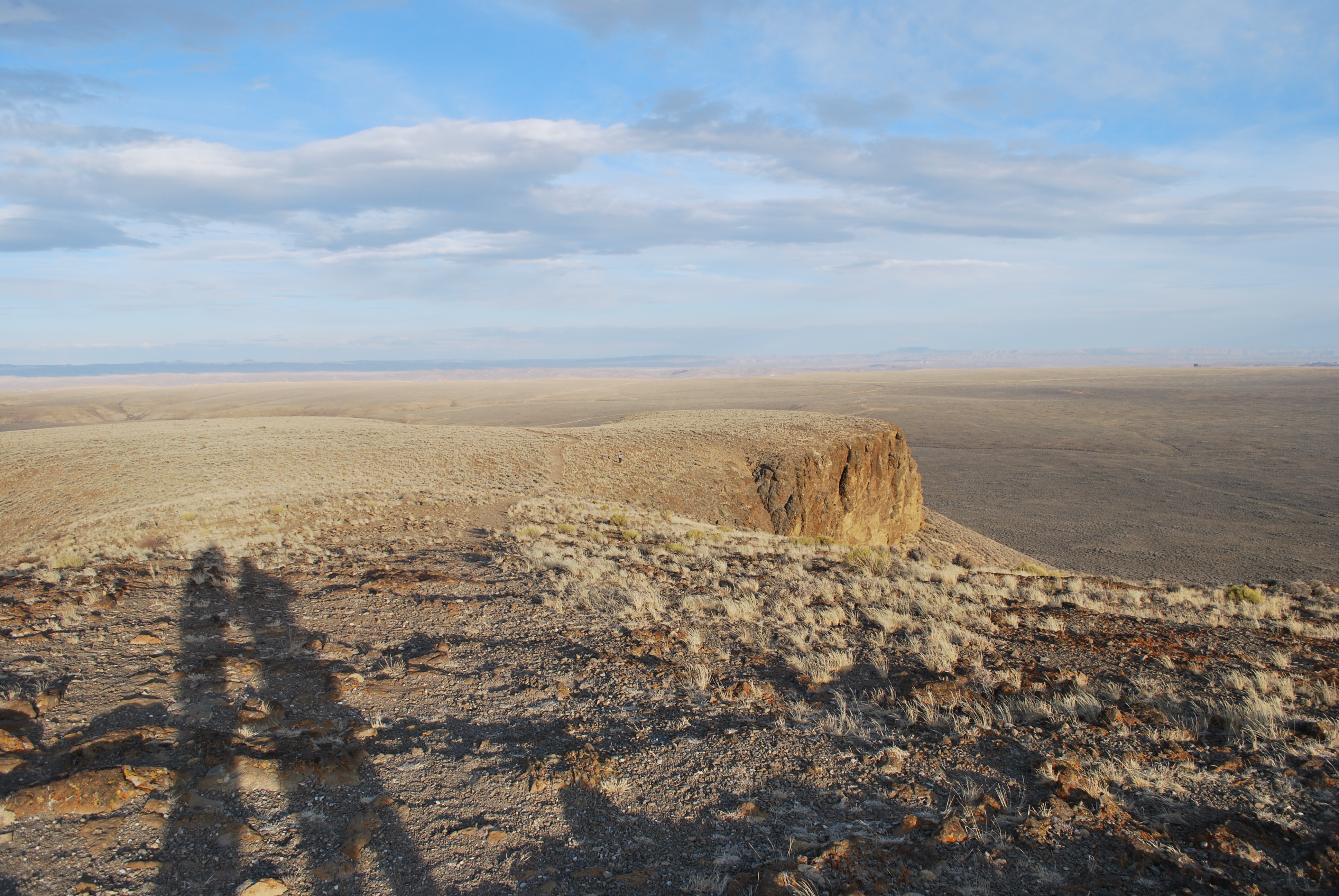
Red Desert, Sweetwater County, Wyoming, United States
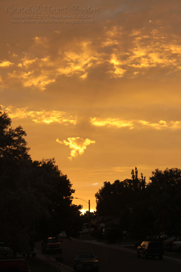
Happy Fall From Wyoming
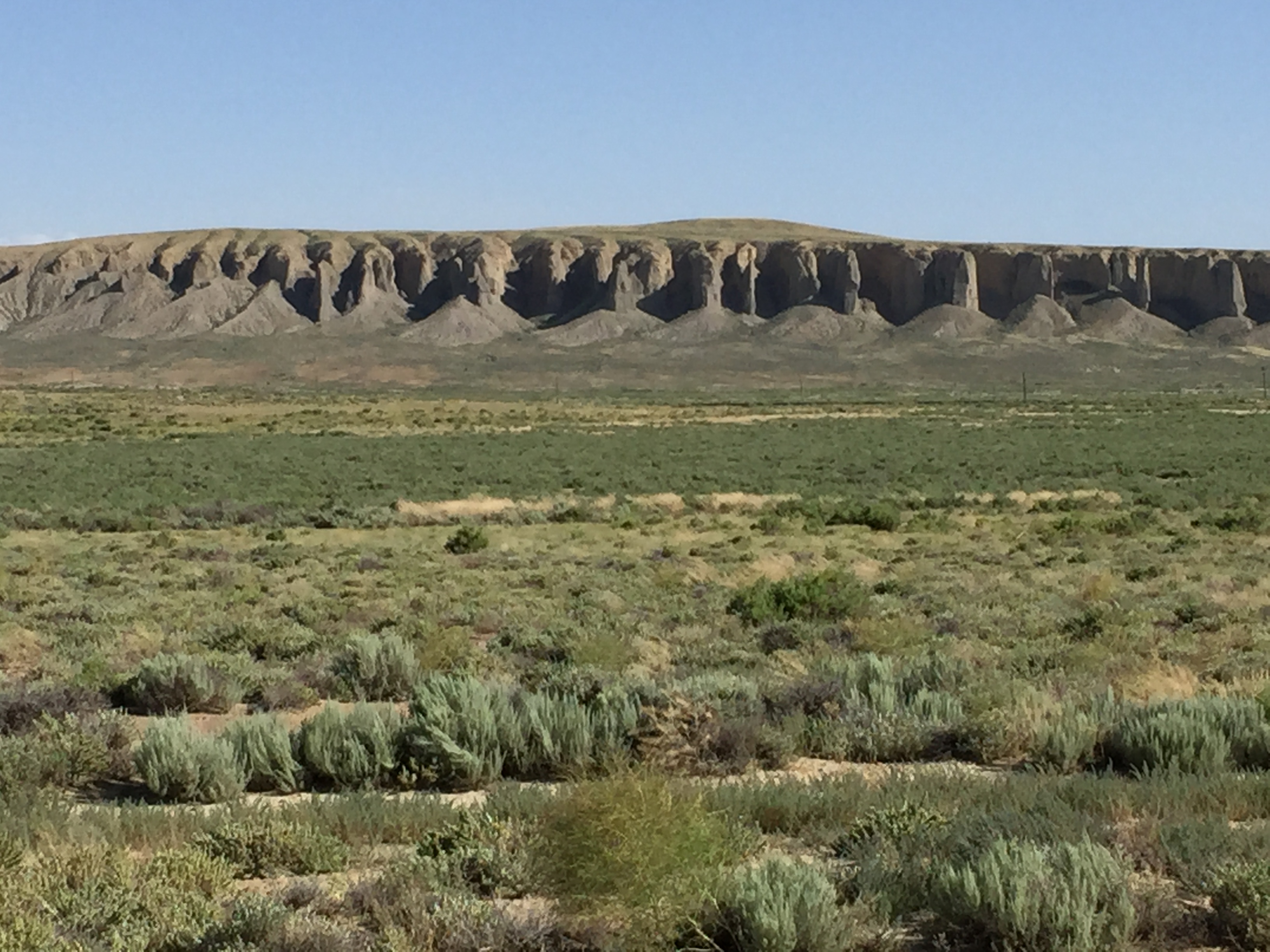
east of Rock Springs, Wyoming
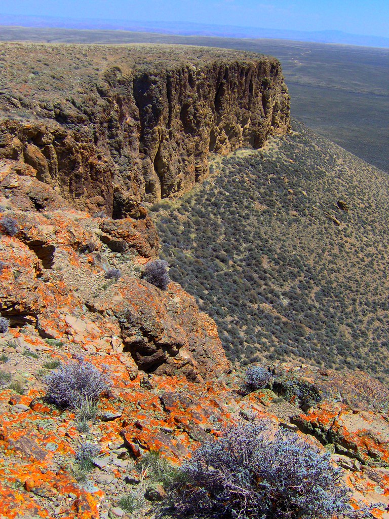
Pilot Butte
_57_7295.jpg
_57_7298.jpg
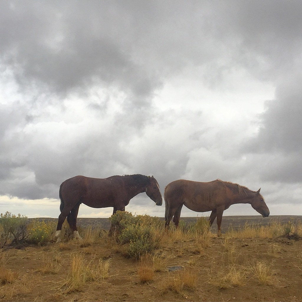
2015 Day 258 - Chasing Wild Horses in Wyoming
Sunrise©WM

Pilot Butte, Rock Springs, WY
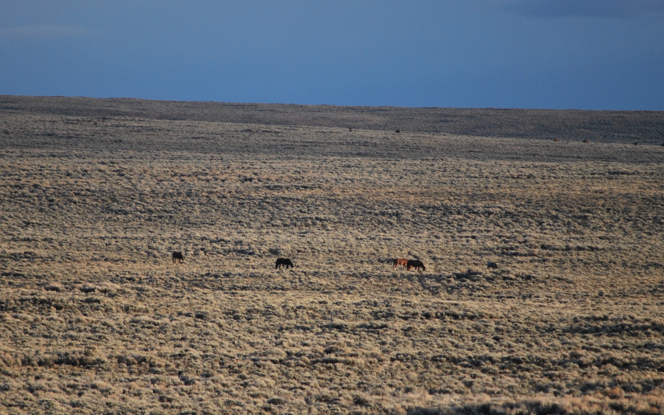
Wild Horses
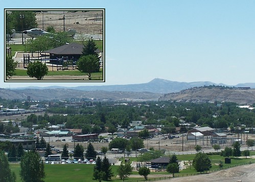
Rock Springs
Topographic Map of Pilot Butte Ave, Rock Springs, WY, USA
Find elevation by address:

Places near Pilot Butte Ave, Rock Springs, WY, USA:
712 N St
1021 Lee St
1506 9th St
Rock Springs
1049 Elm Way
861 Burr Dr
207 Polk St
3103 Sandy Rd
Dewar Drive
2636 Commercial Way
1130 Rockies Cir
Sweetwater Events Complex
Plainview Dr, Rock Springs, WY, USA
South, Reliance, WY, USA
9 Spotted Tail Cir, Rock Springs, WY, USA
I-80 Service, Rock Springs, WY, USA
2040 E Teton Blvd
Sweetwater County
Green River
1055 Wild Horse Canyon Rd
Recent Searches:
- Elevation of Power Generation Enterprises | Industrial Diesel Generators, Oak Ave, Canyon Country, CA, USA
- Elevation of Chesaw Rd, Oroville, WA, USA
- Elevation of N, Mt Pleasant, UT, USA
- Elevation of 6 Rue Jules Ferry, Beausoleil, France
- Elevation of Sattva Horizon, 4JC6+G9P, Vinayak Nagar, Kattigenahalli, Bengaluru, Karnataka, India
- Elevation of Great Brook Sports, Gold Star Hwy, Groton, CT, USA
- Elevation of 10 Mountain Laurels Dr, Nashua, NH, USA
- Elevation of 16 Gilboa Ln, Nashua, NH, USA
- Elevation of Laurel Rd, Townsend, TN, USA
- Elevation of 3 Nestling Wood Dr, Long Valley, NJ, USA