Elevation of Dewar Drive, Dewar Dr, Rock Springs, WY, USA
Location: United States > Wyoming > Rock Springs >
Longitude: -109.25315
Latitude: 41.5783312
Elevation: 1902m / 6240feet
Barometric Pressure: 80KPa
Elevation Map:
Satellite Map:
Related Photos:
38º Below - Happy New Year
Parade Happiness
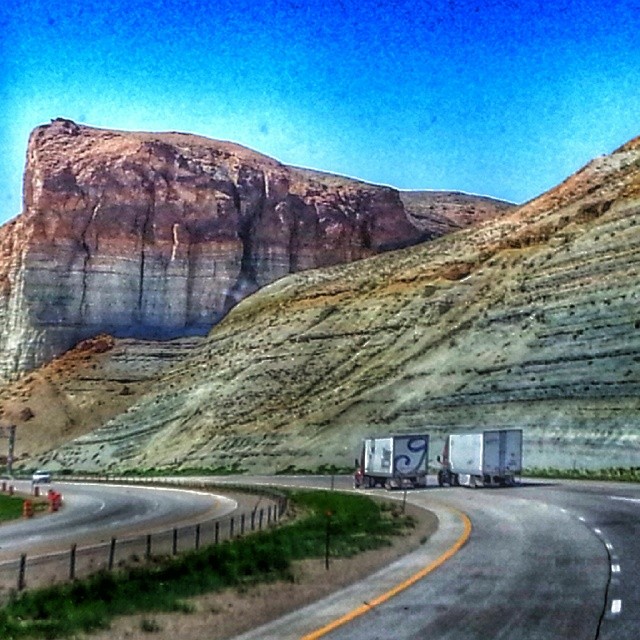
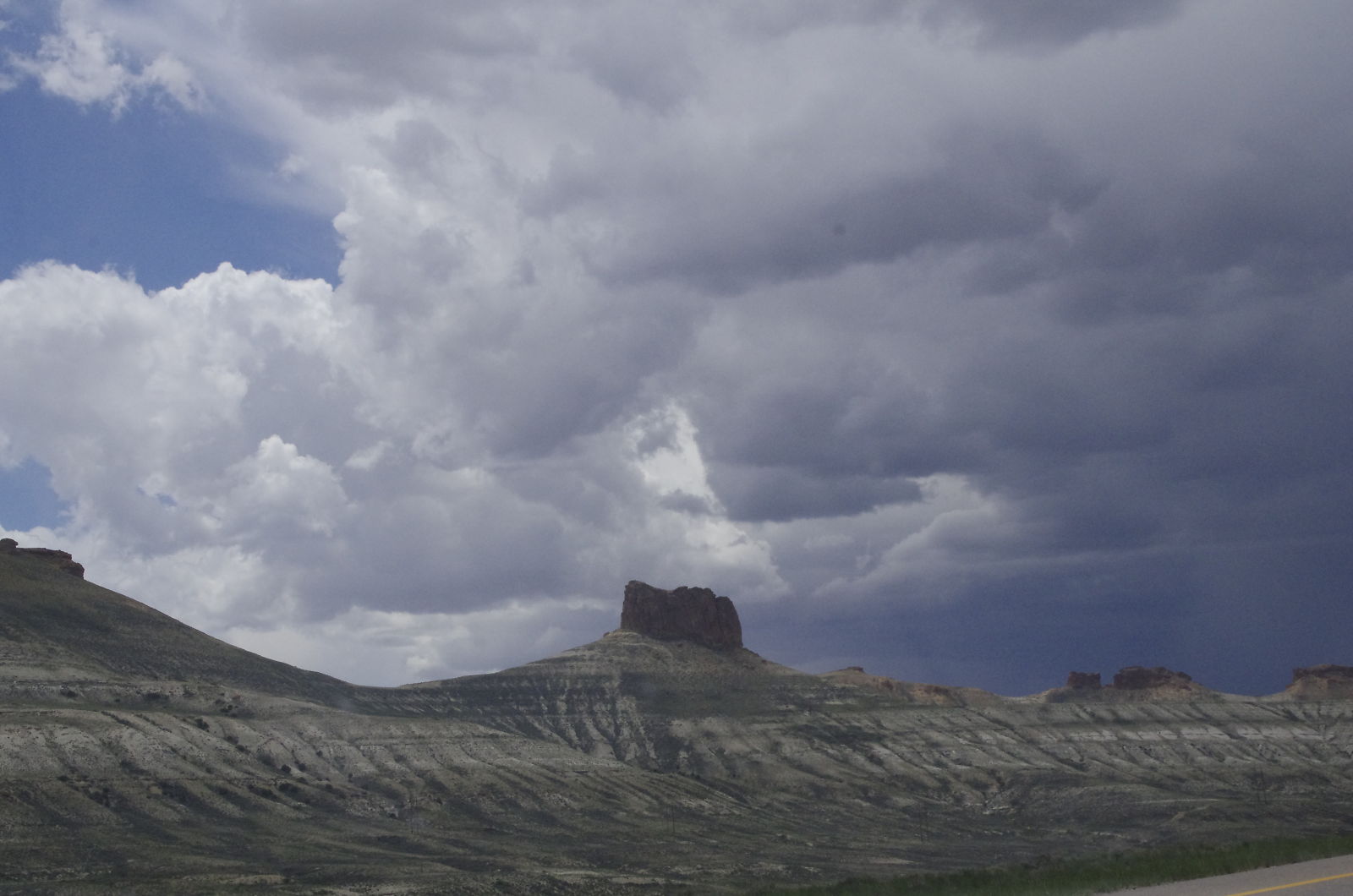
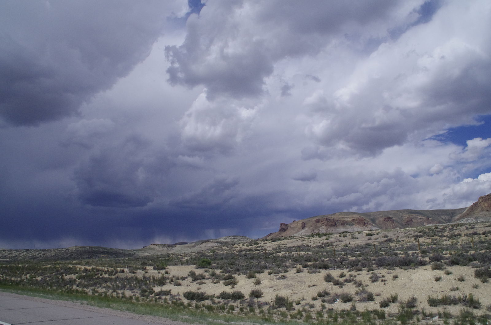
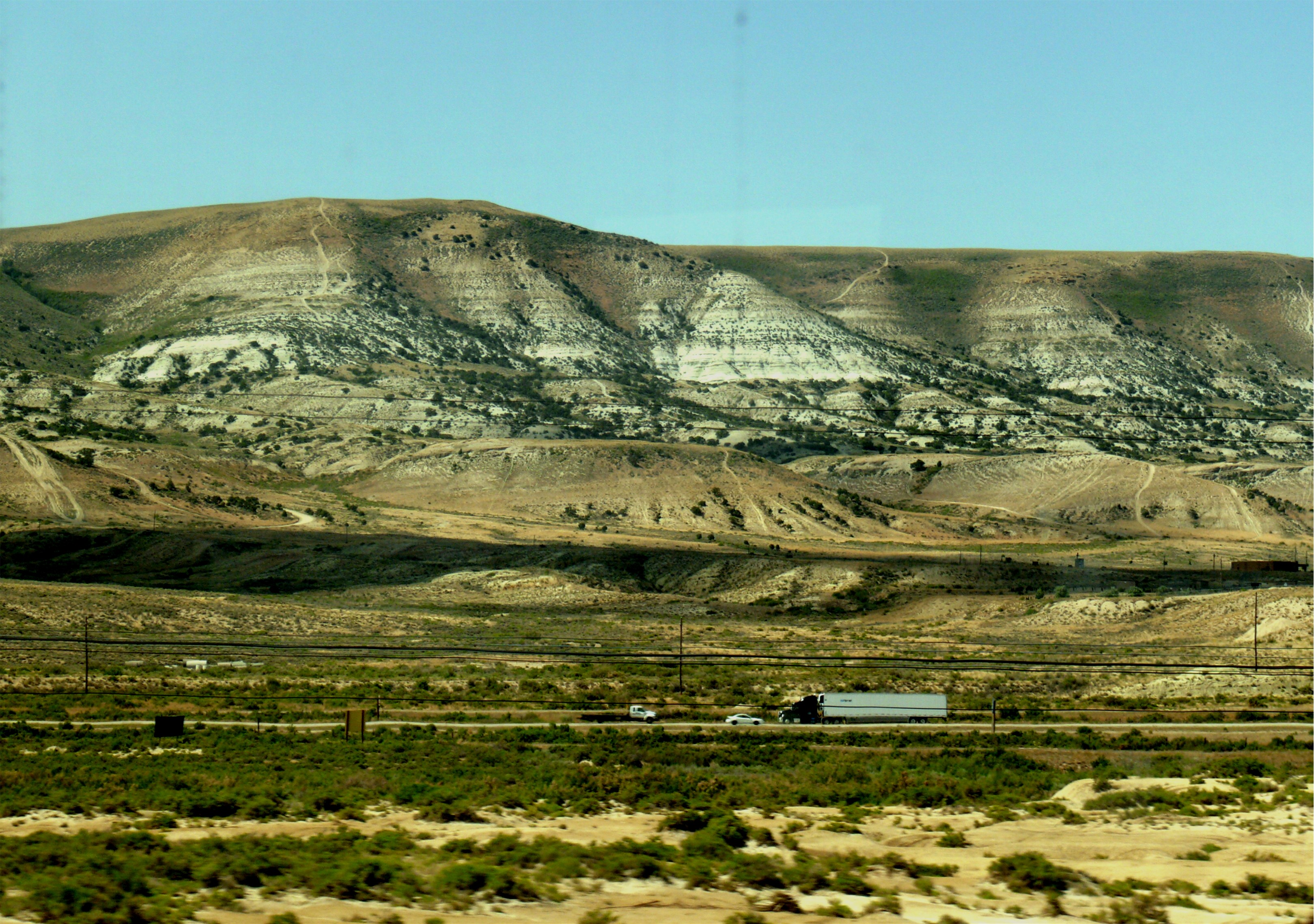
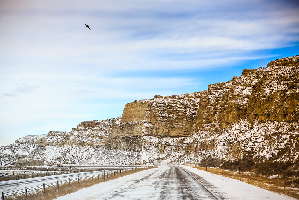
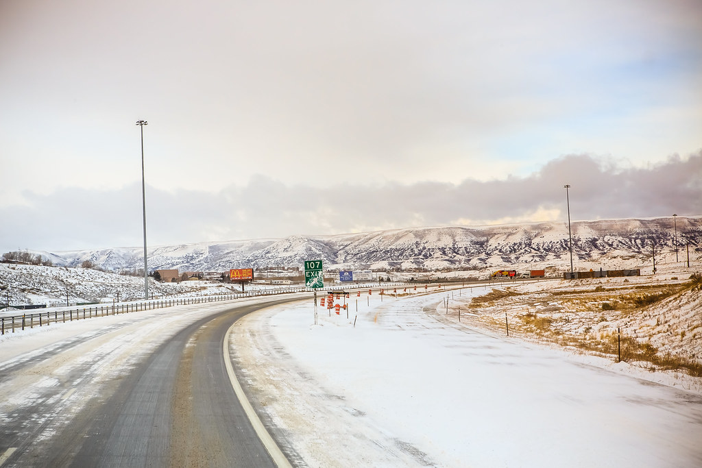
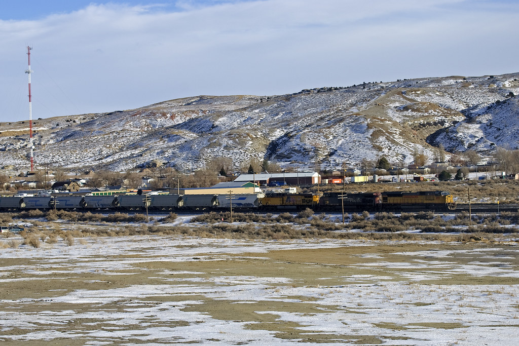
views from the road: from Rock Springs to Jackson
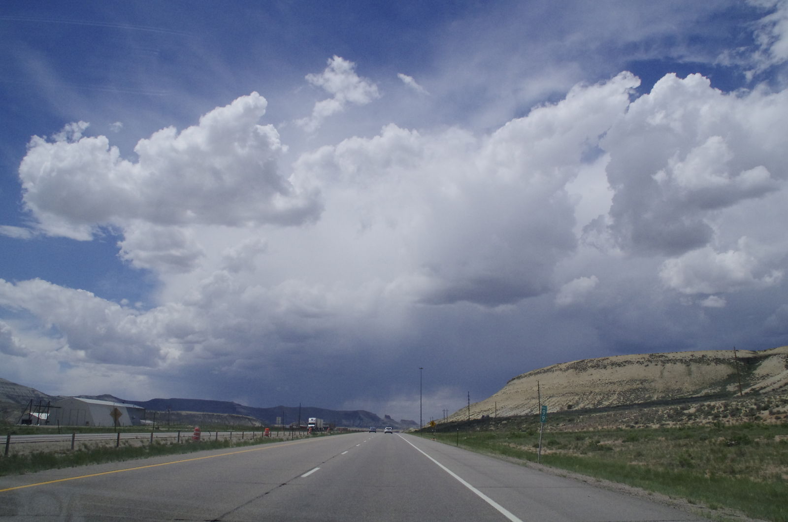
views from the road: from Rock Springs to Jackson
F-101, Rock Springs,WY.

views from the road: from Rock Springs to Jackson

Snuggle Bunny for My Valentine
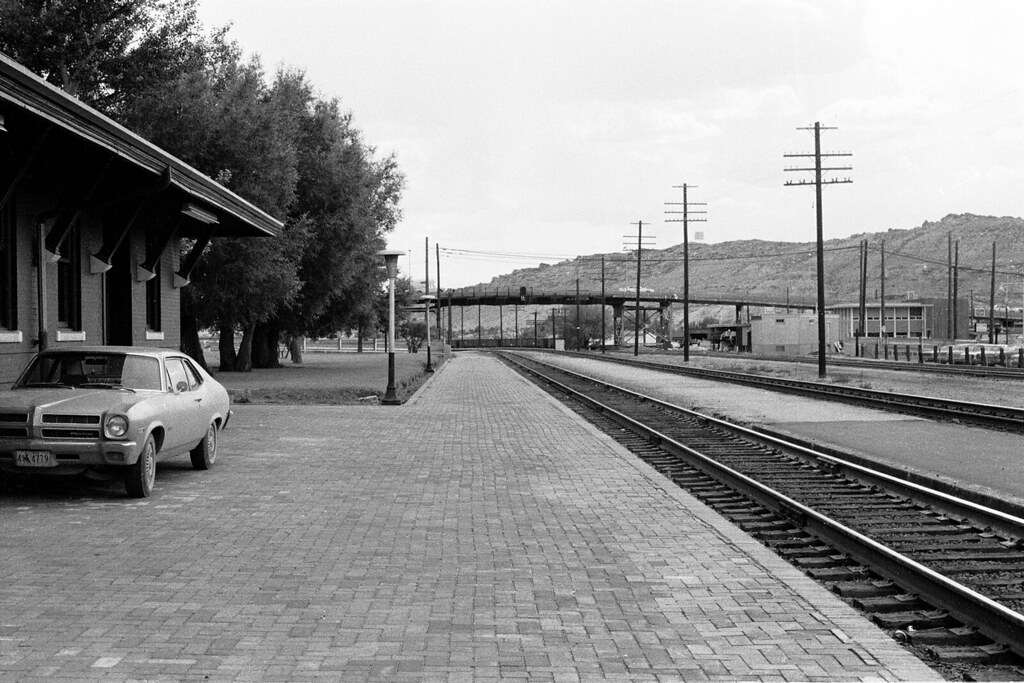
View from the Railroad Station
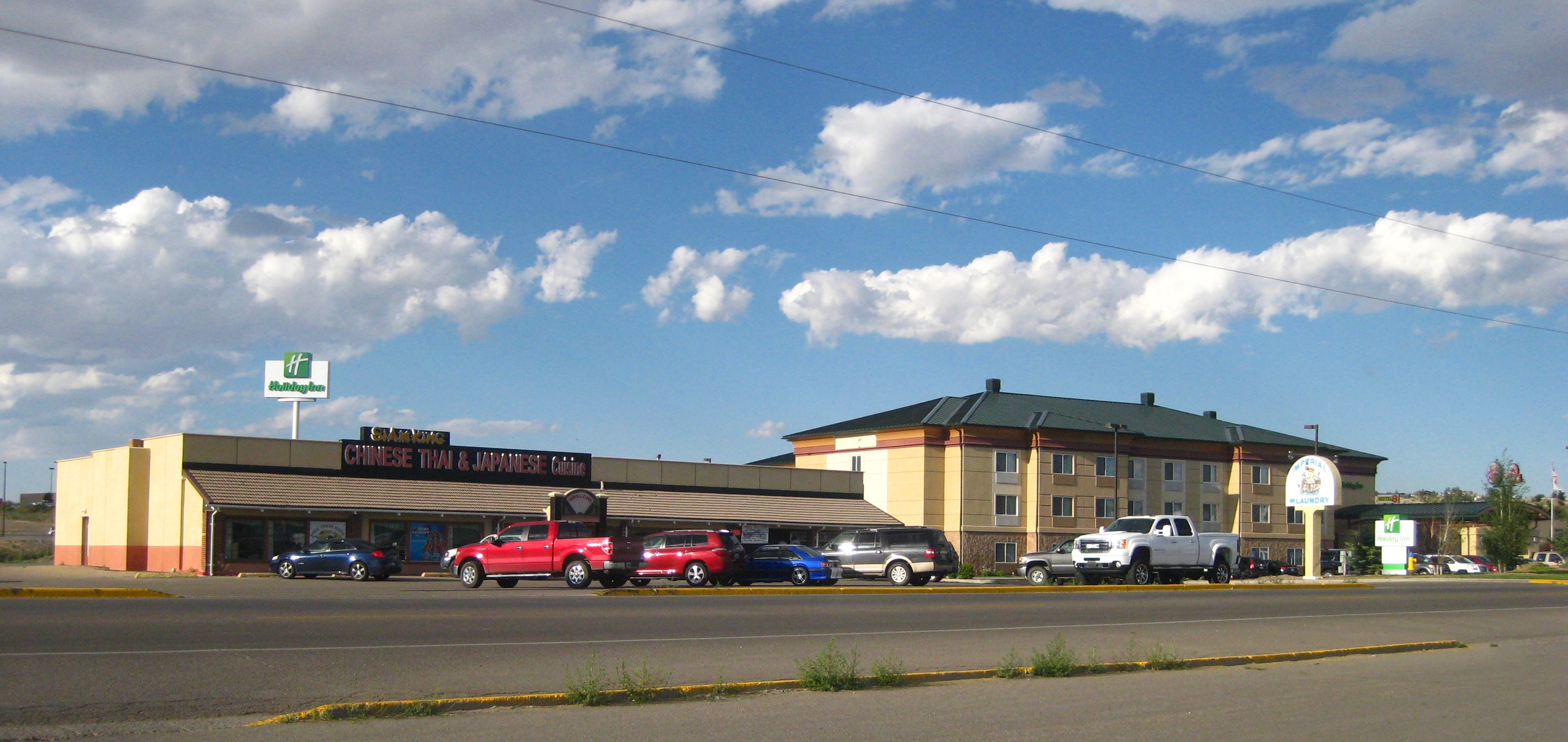
IMG_6033 Siam King, Rock Springs WY
views from the road: from Rock Springs to Jackson
views from the road: from Rock Springs to Jackson
views from the road: from Rock Springs to Jackson
views from the road: from Rock Springs to Jackson
Ferocious Feeding - for Sasha
#truckdrivers #onTheRoad
_K5P7781.JPG
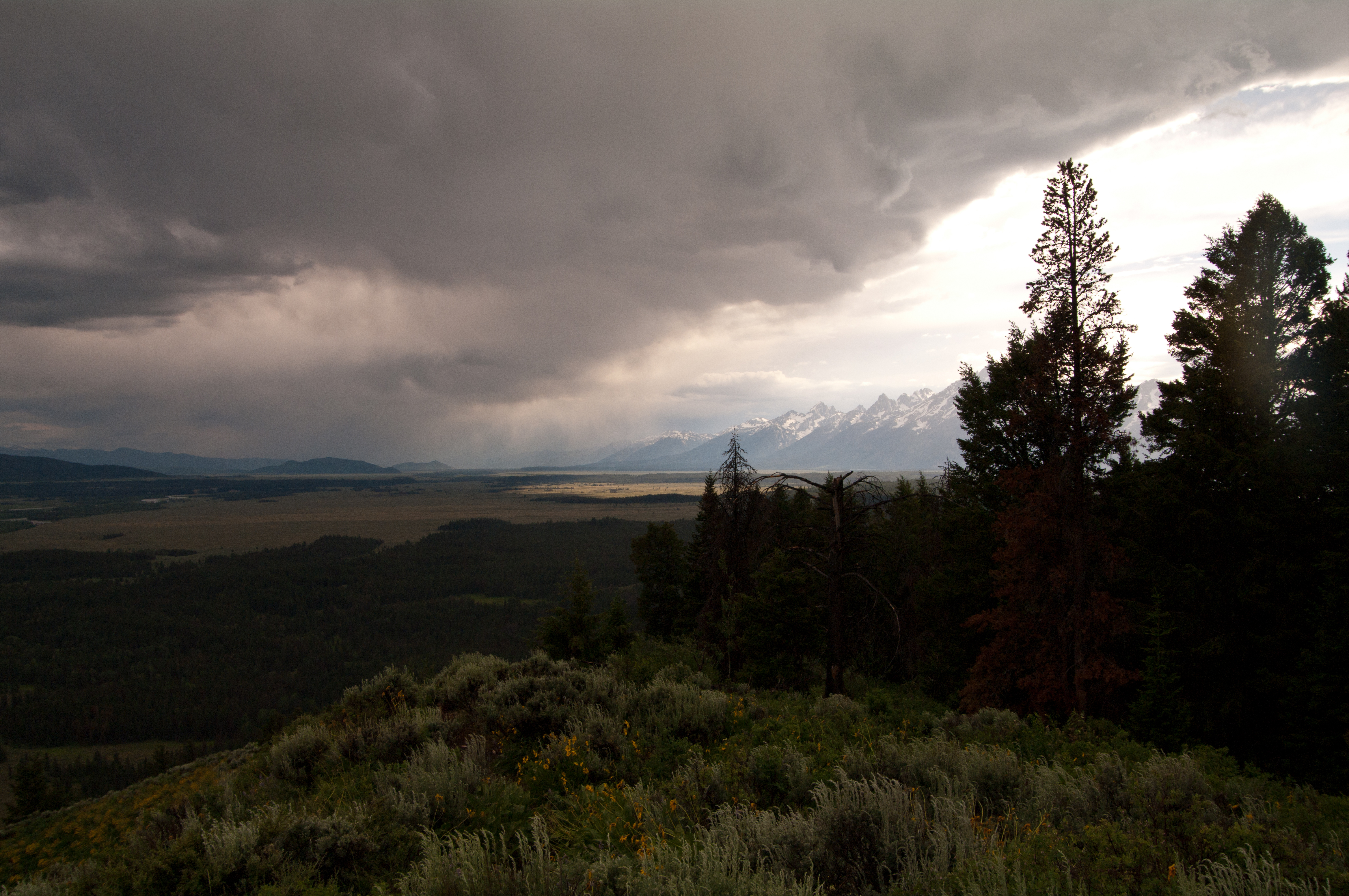
Tetons from Signal Mountain Peak
It's Green
_K5P7778.JPG
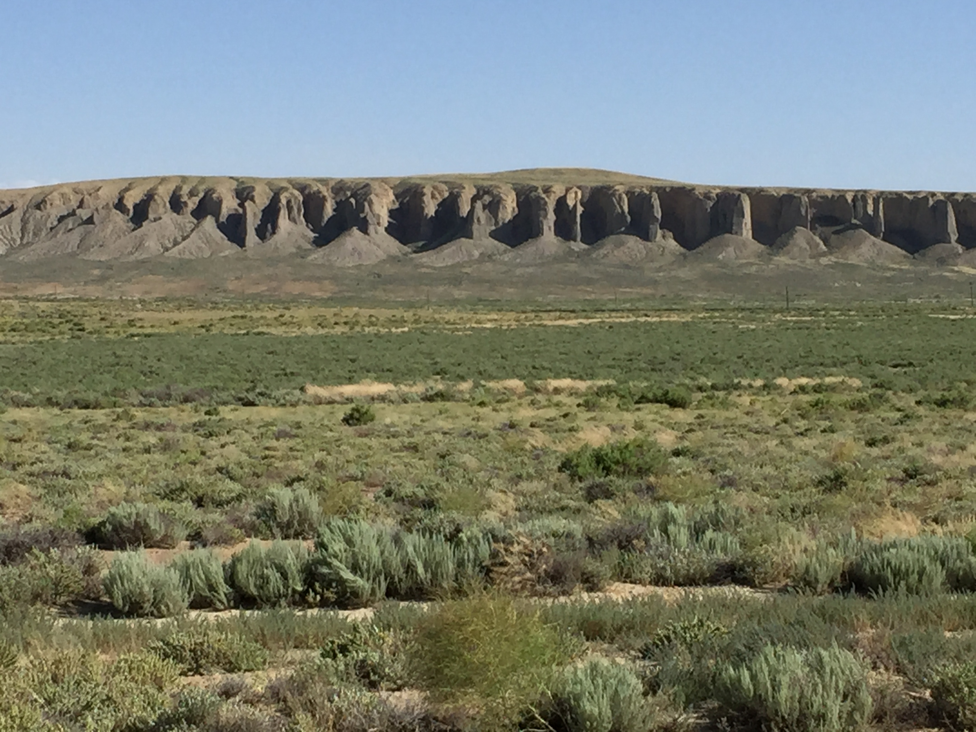
Red Desert, Sweetwater County, Wyoming, United States
_K5P7776.JPG
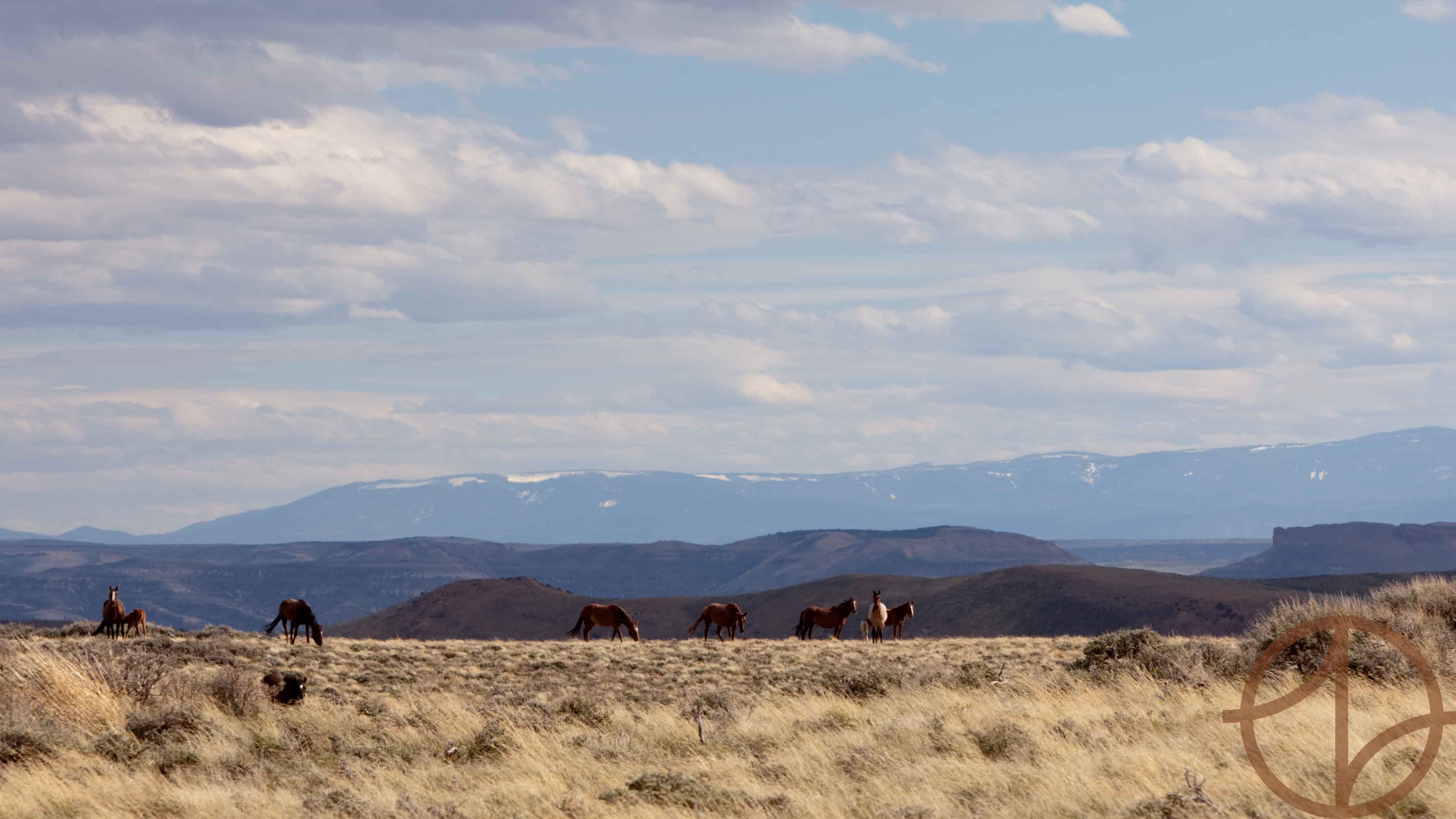
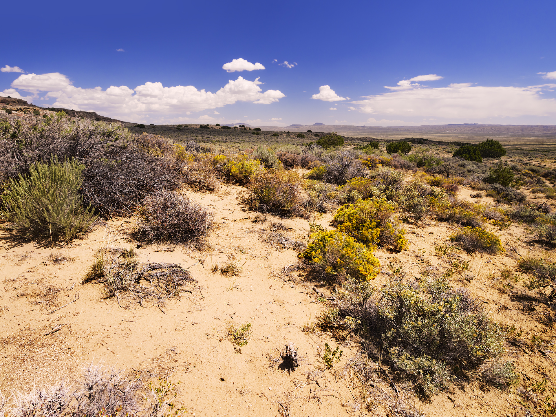
Uinta Wild
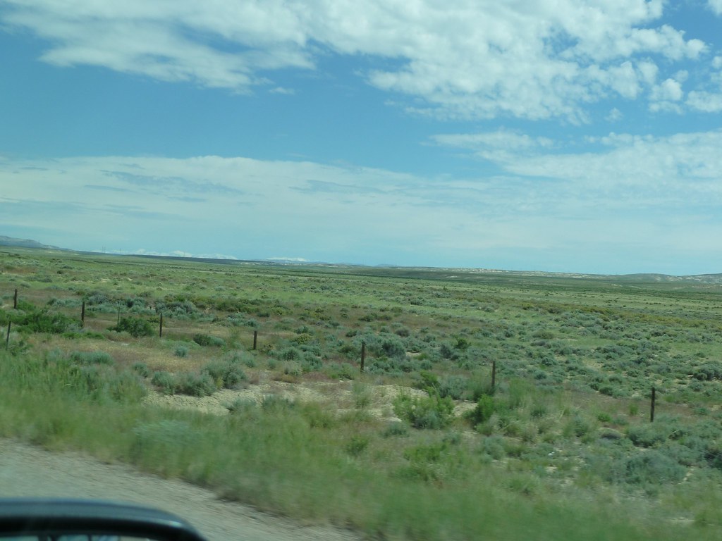
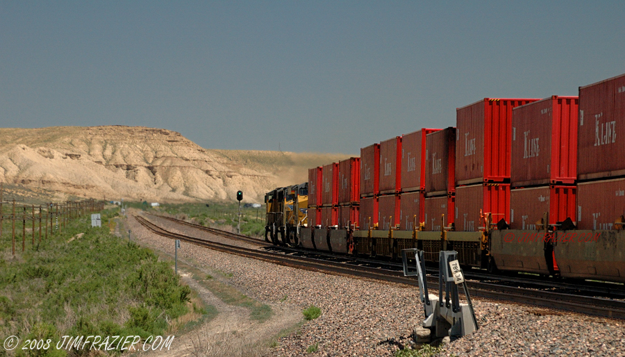
east of Rock Springs, Wyoming
Happy Fall From Wyoming
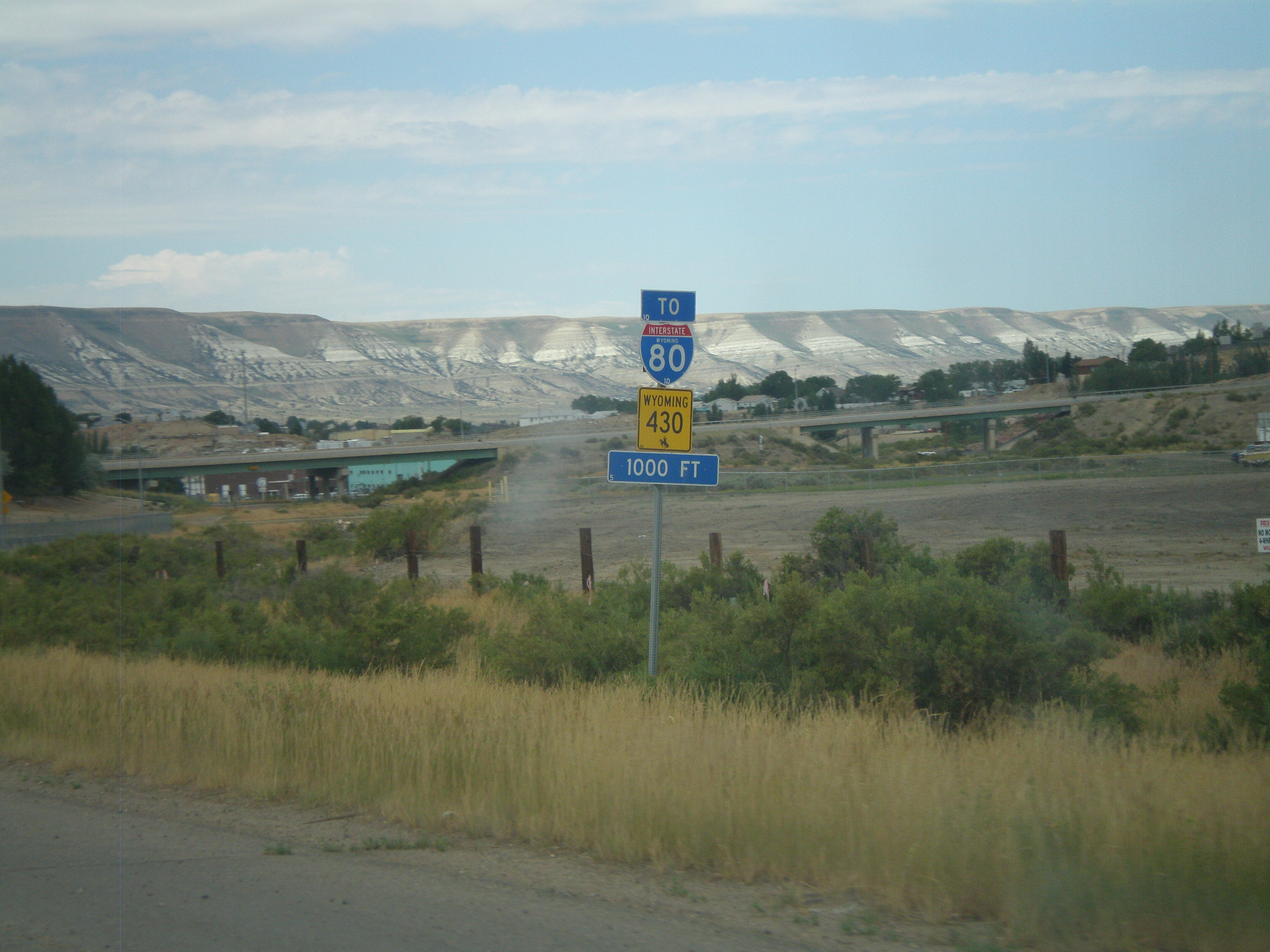
WY-430 North To I-80
Better Than Dead!
Better Than Dead!
Pilot Butte
Campground in Rock Springs, Wyoming
Sunrise©WM

Tower, WY
20090802 083 near Rock Springs, WY
_57_7295.jpg
_57_7298.jpg
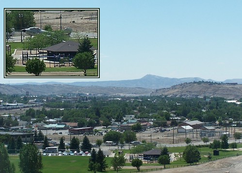
Rock Springs
Topographic Map of Dewar Drive, Dewar Dr, Rock Springs, WY, USA
Find elevation by address:

Places near Dewar Drive, Dewar Dr, Rock Springs, WY, USA:
2636 Commercial Way
3103 Sandy Rd
207 Polk St
861 Burr Dr
Plainview Dr, Rock Springs, WY, USA
712 N St
1103 Pilot Butte Ave
1021 Lee St
1506 9th St
1049 Elm Way
Rock Springs
1130 Rockies Cir
Sweetwater Events Complex
South, Reliance, WY, USA
9 Spotted Tail Cir, Rock Springs, WY, USA
2040 E Teton Blvd
Green River
2750 Hitching Post Dr
1055 Wild Horse Canyon Rd
2684 Hitching Post Dr
Recent Searches:
- Elevation of Bernina Dr, Lake Arrowhead, CA, USA
- Elevation of N 82nd Pl, Mesa, AZ, USA
- Elevation of Snake Hill Rd, North Scituate, RI, USA
- Elevation of Lake Shore Dr, Warwick, RI, USA
- Elevation of E Brightview Ave, Pittsburgh, PA, USA
- Elevation of Cavendish Rd, Harringay Ladder, London N4 1RR, UK
- Elevation of 1 Zion Park Blvd, Springdale, UT, USA
- Elevation of Ganderbal
- Elevation map of Konkan Division, Maharashtra, India
- Elevation of Netaji Nagar, Hallow Pul, Kurla, Mumbai, Maharashtra, India