Elevation of Pigtail Rd, Lenoir, NC, USA
Location: United States > North Carolina > Caldwell County > Lenoir > Lenoir >
Longitude: -81.542828
Latitude: 35.99538
Elevation: 370m / 1214feet
Barometric Pressure: 97KPa
Elevation Map:
Satellite Map:
Related Photos:
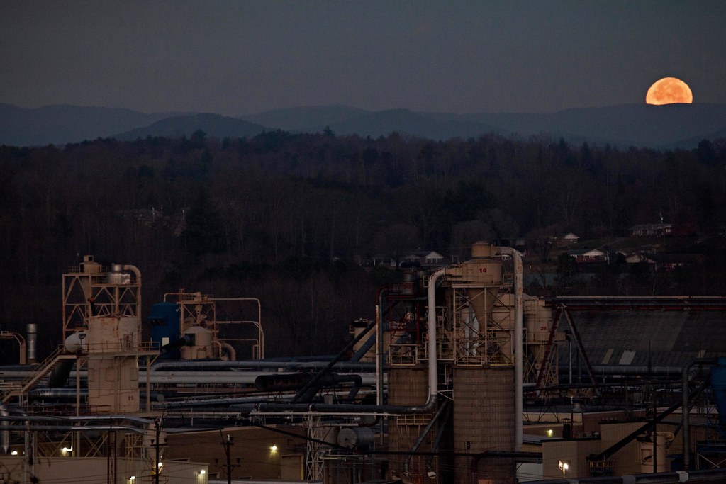
Moonset Over the Blue Ridge Mountains 48/52

[Full View] Old Hat, Downtown Lenoir, Jonathan Cox Photoshoot
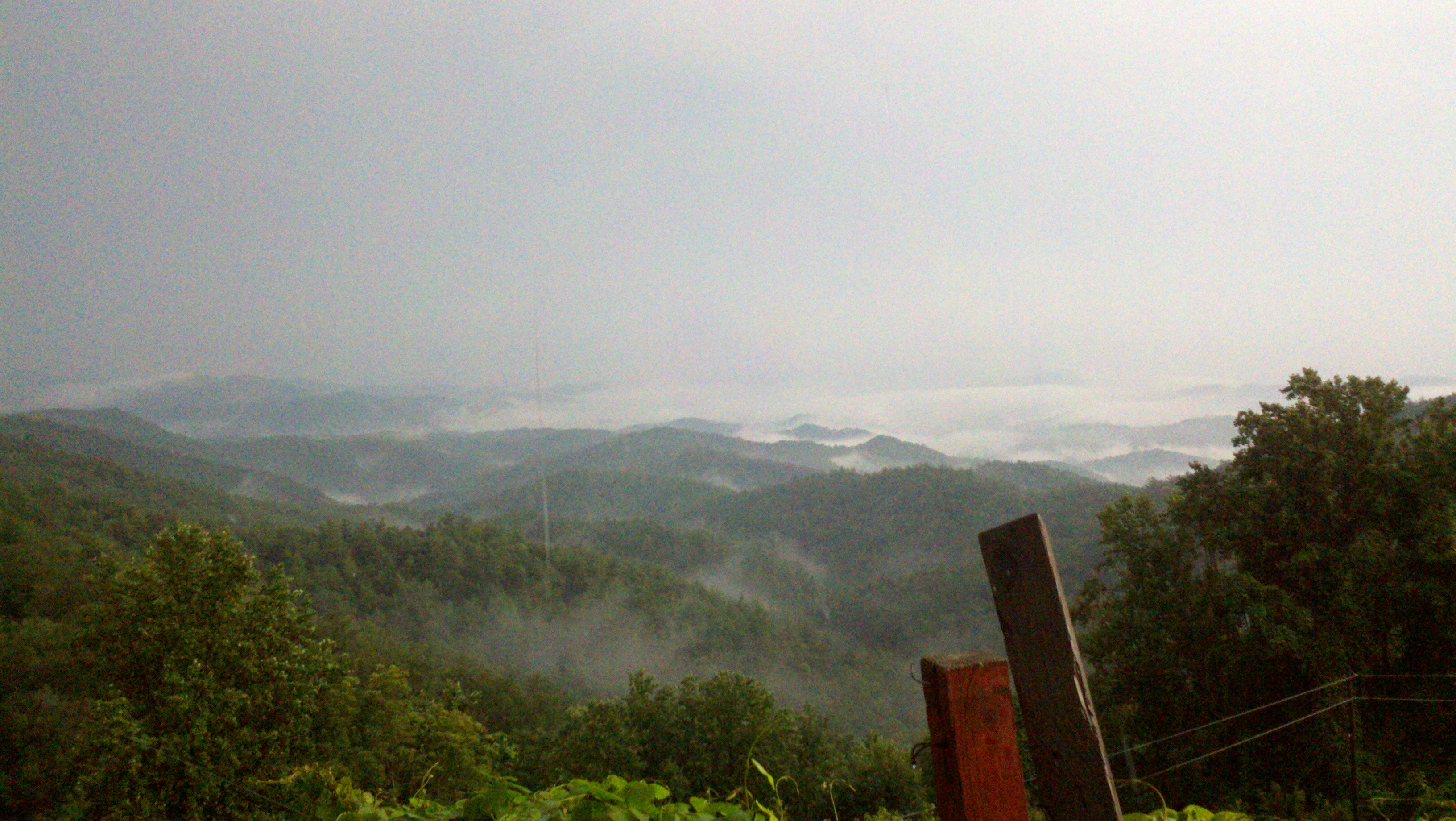
The view of the Blue Ridge Mountains just outside Blowing Rock NC.
View from the road
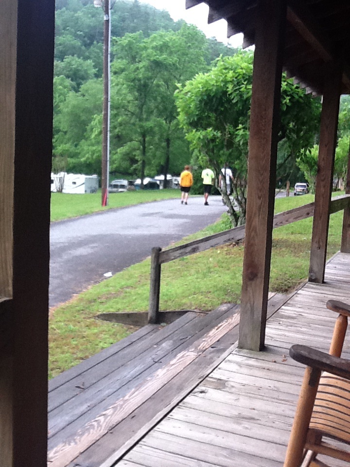
View from the porch
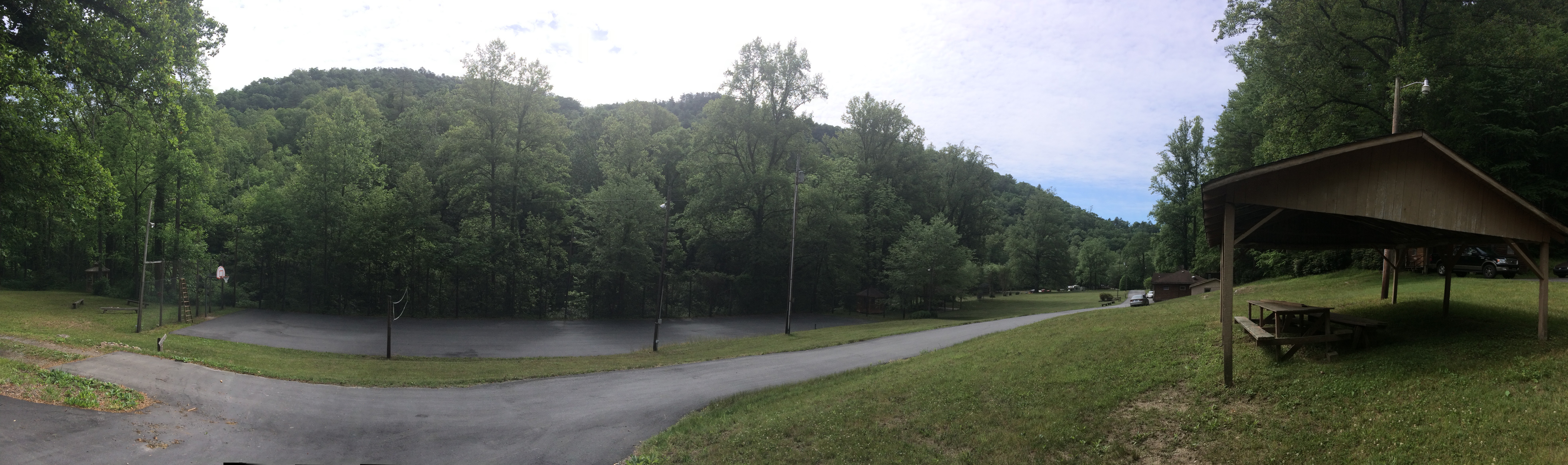
View of Tent City
Friday Cabin View
Green view
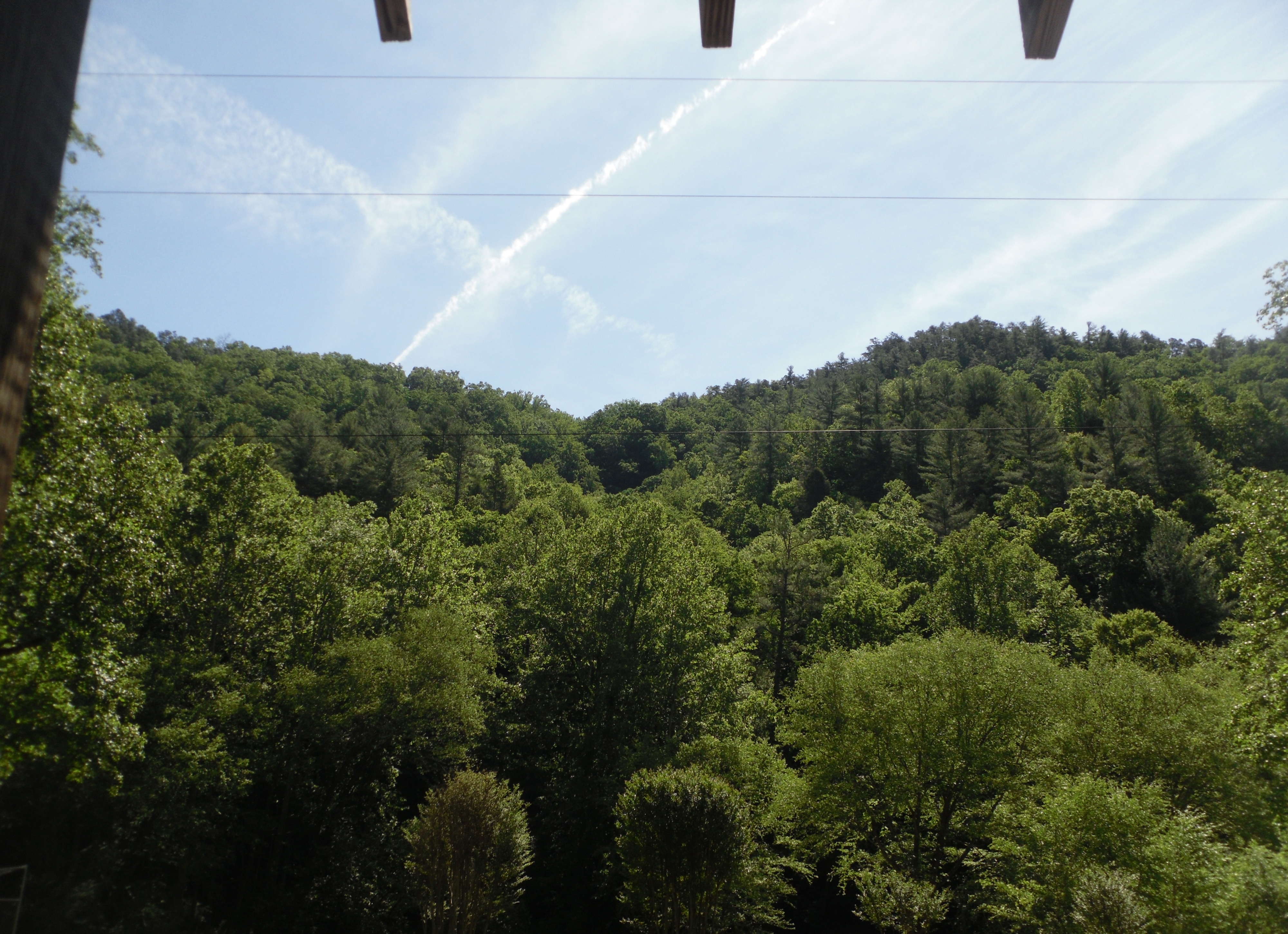
Bridge view pano
Mountain View
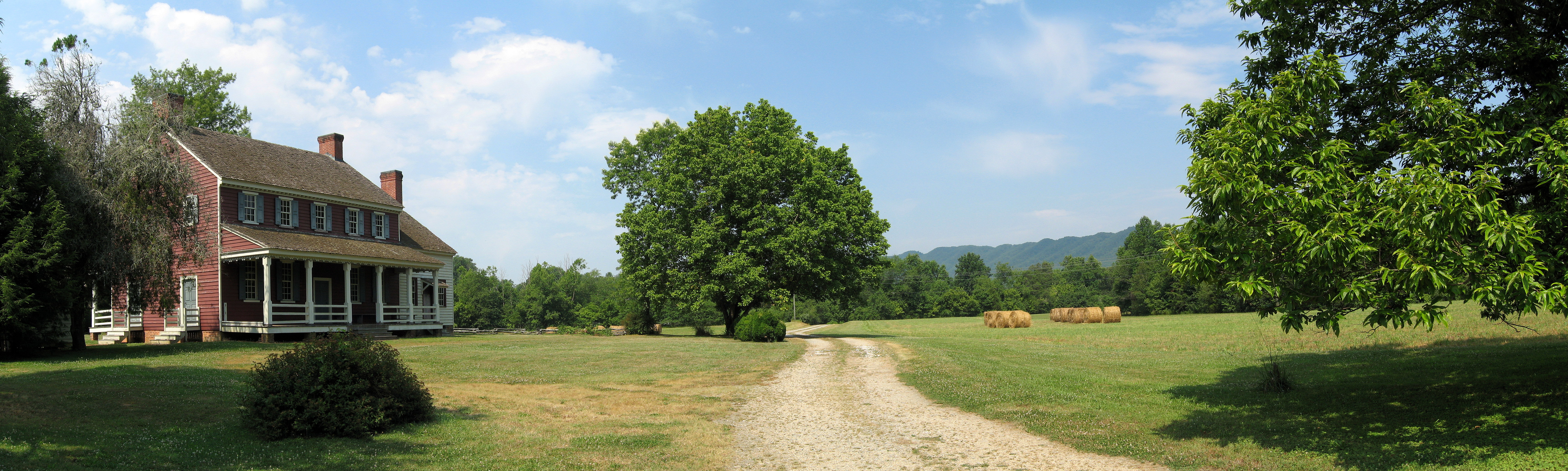
Fort Defiance
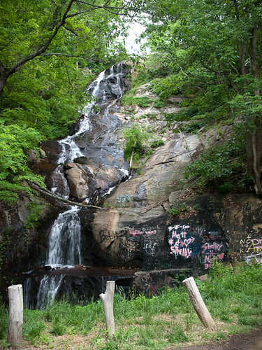
Waterfall Road waterfall - Part 2
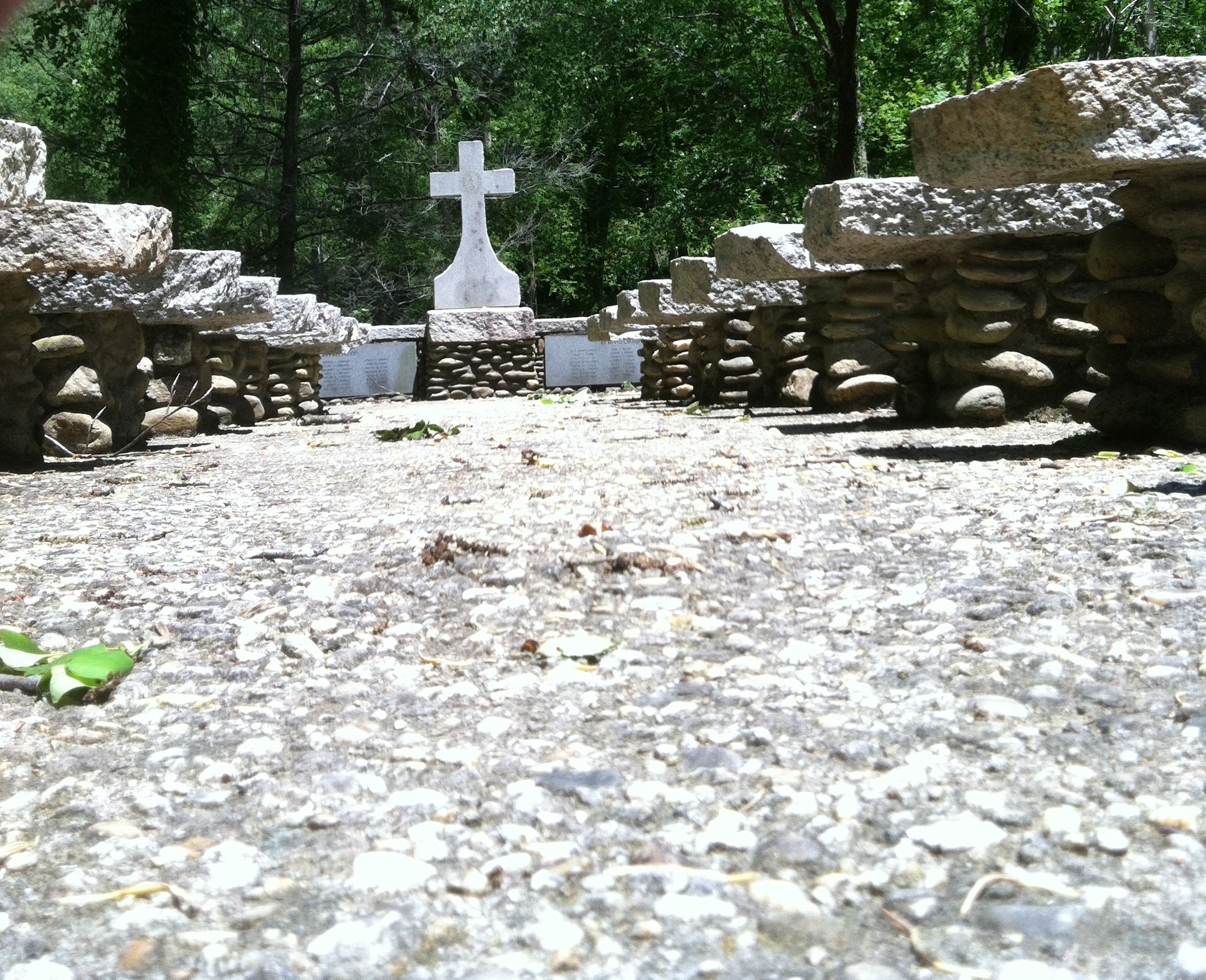
Aisle view of the cross
Bell view
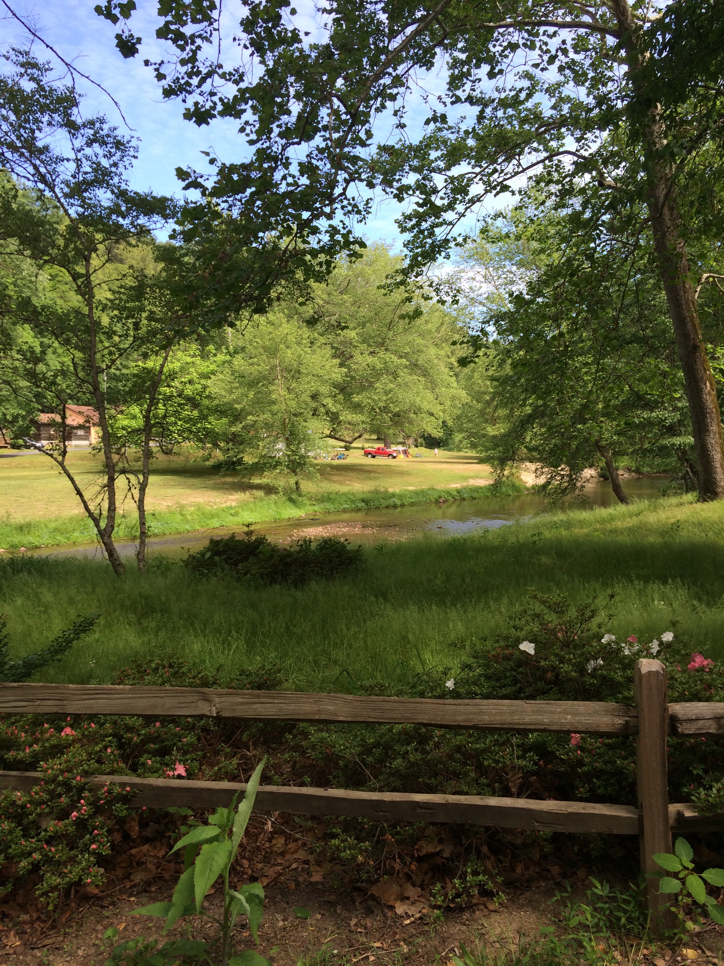
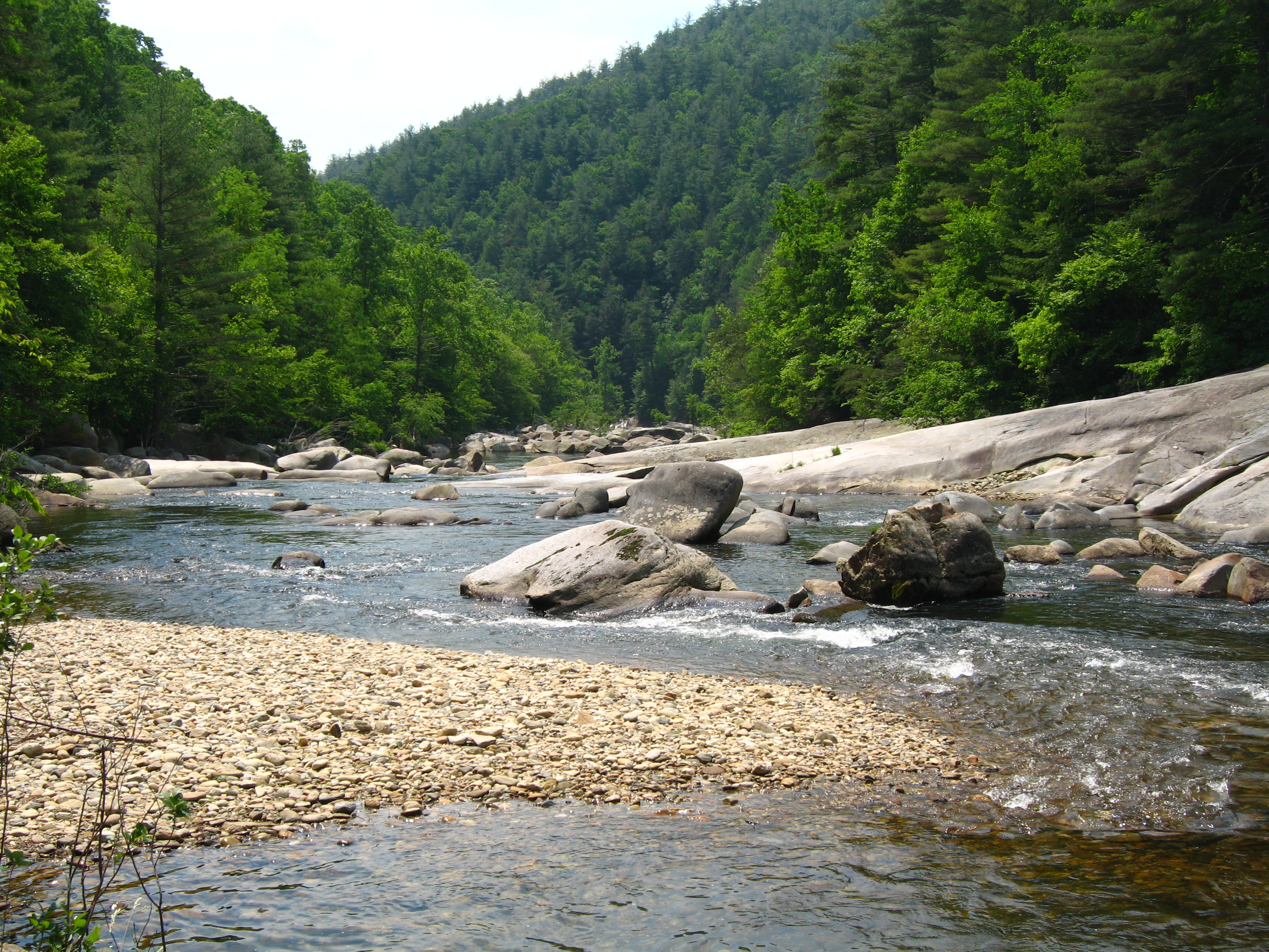
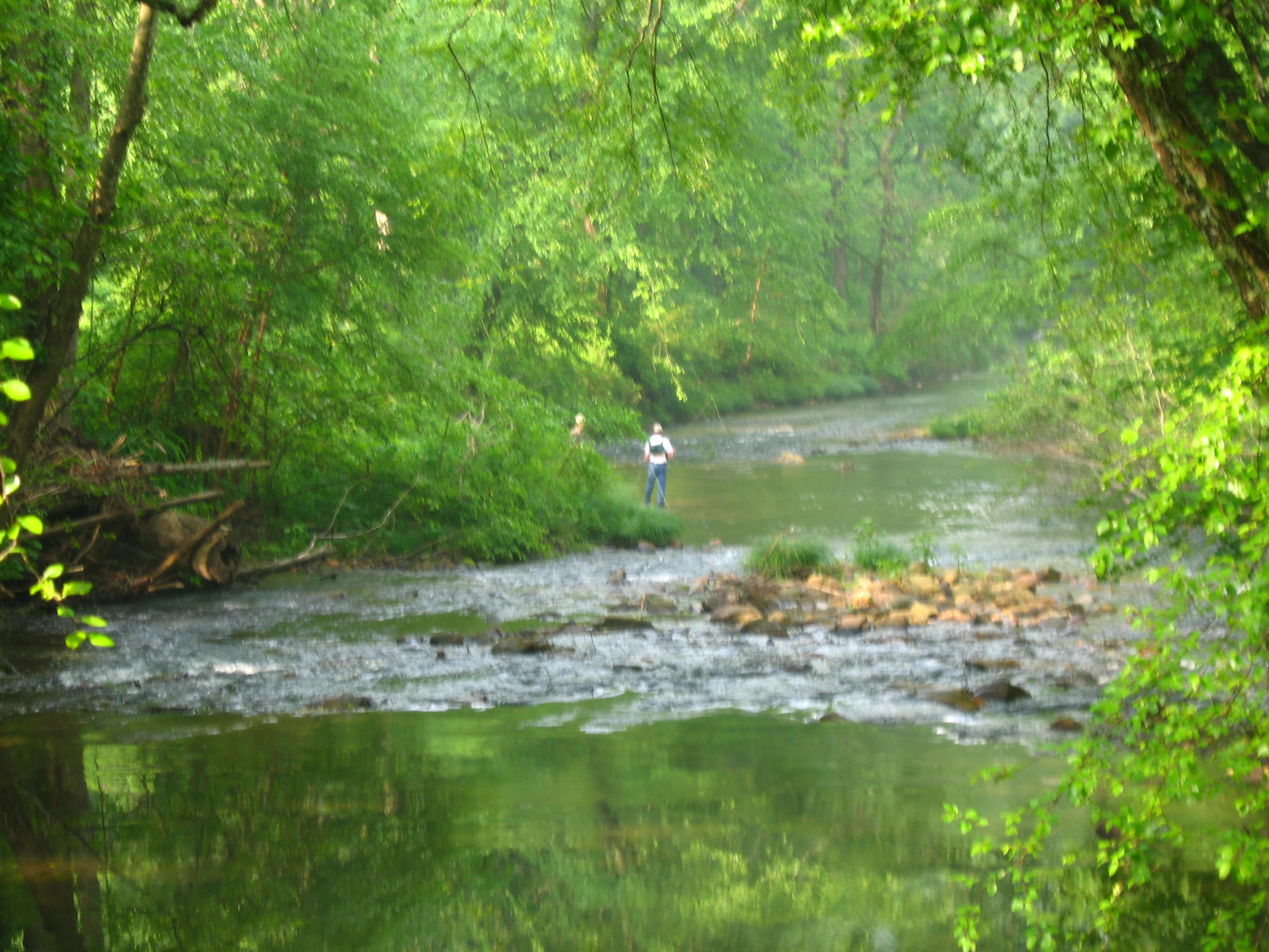
Camp view from the river
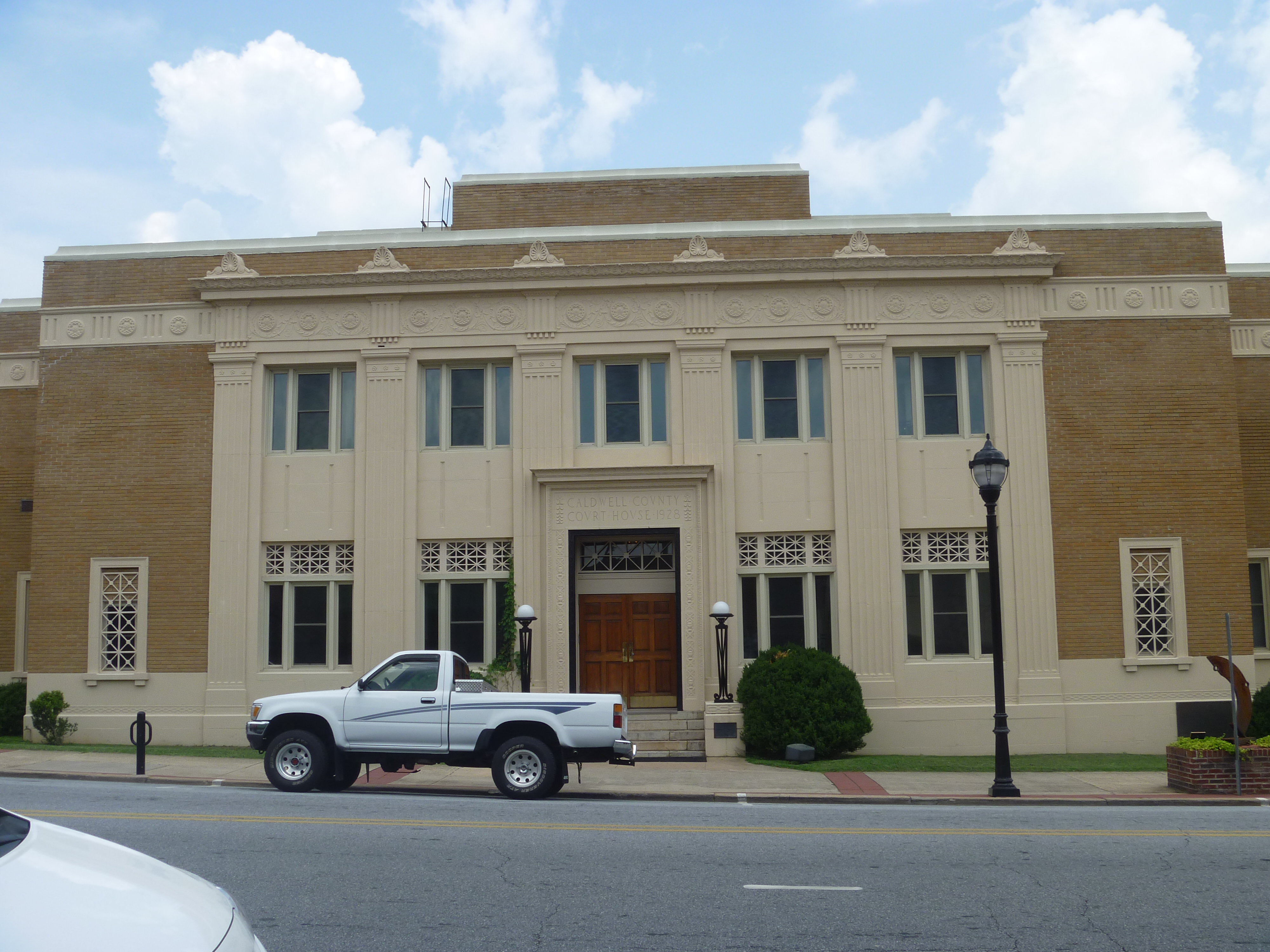
Front View, Caldwell County Courthouse
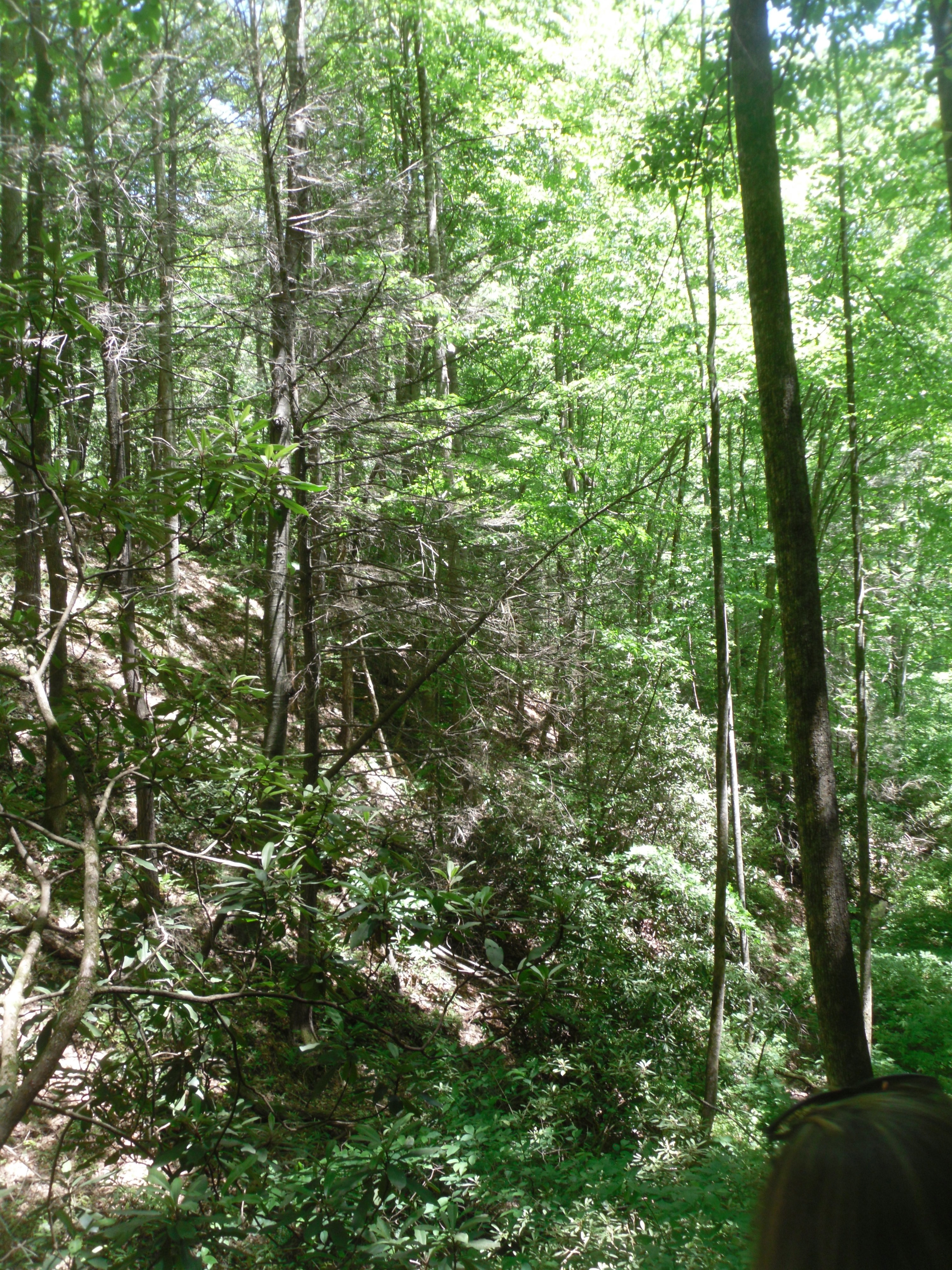
View through the tree
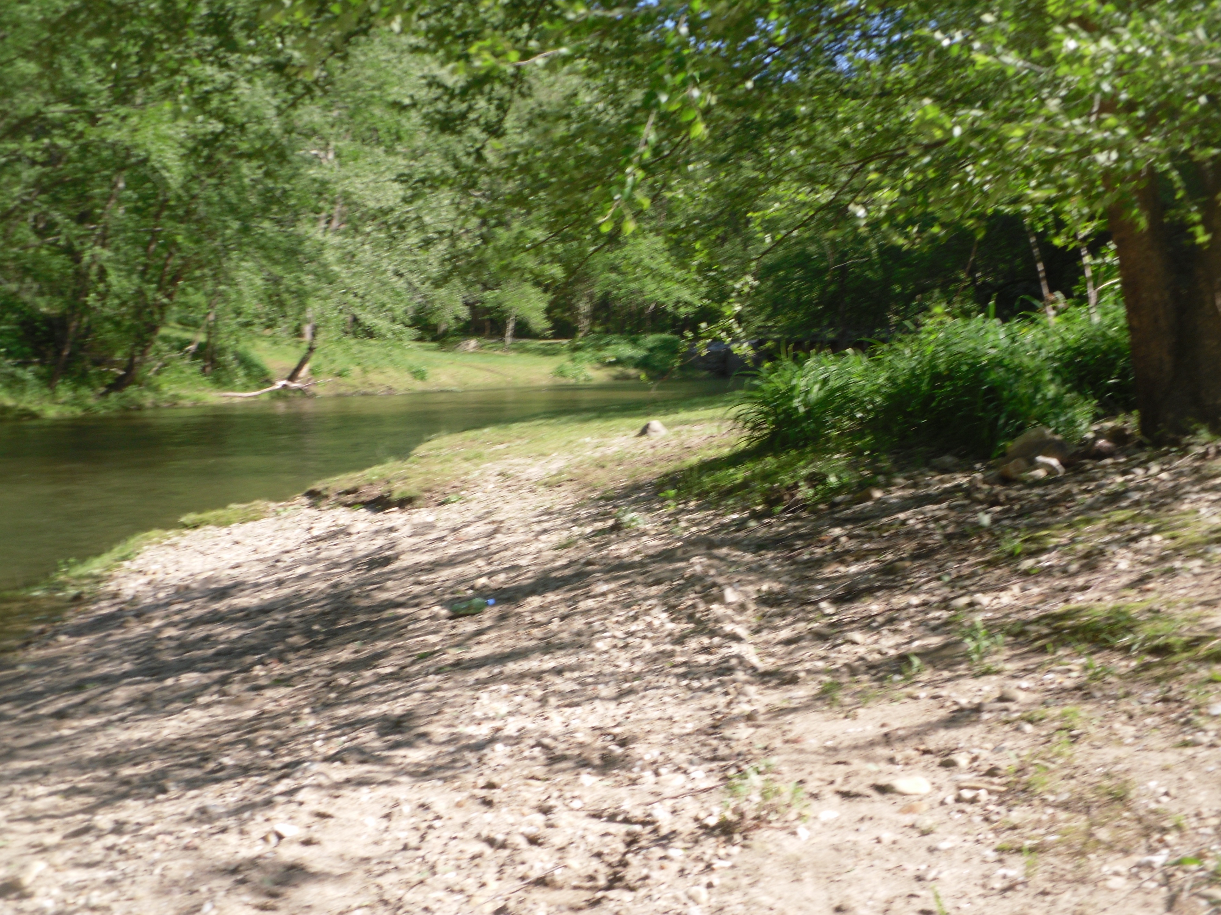
Shore view
Valley view
WC view.JPG
The View
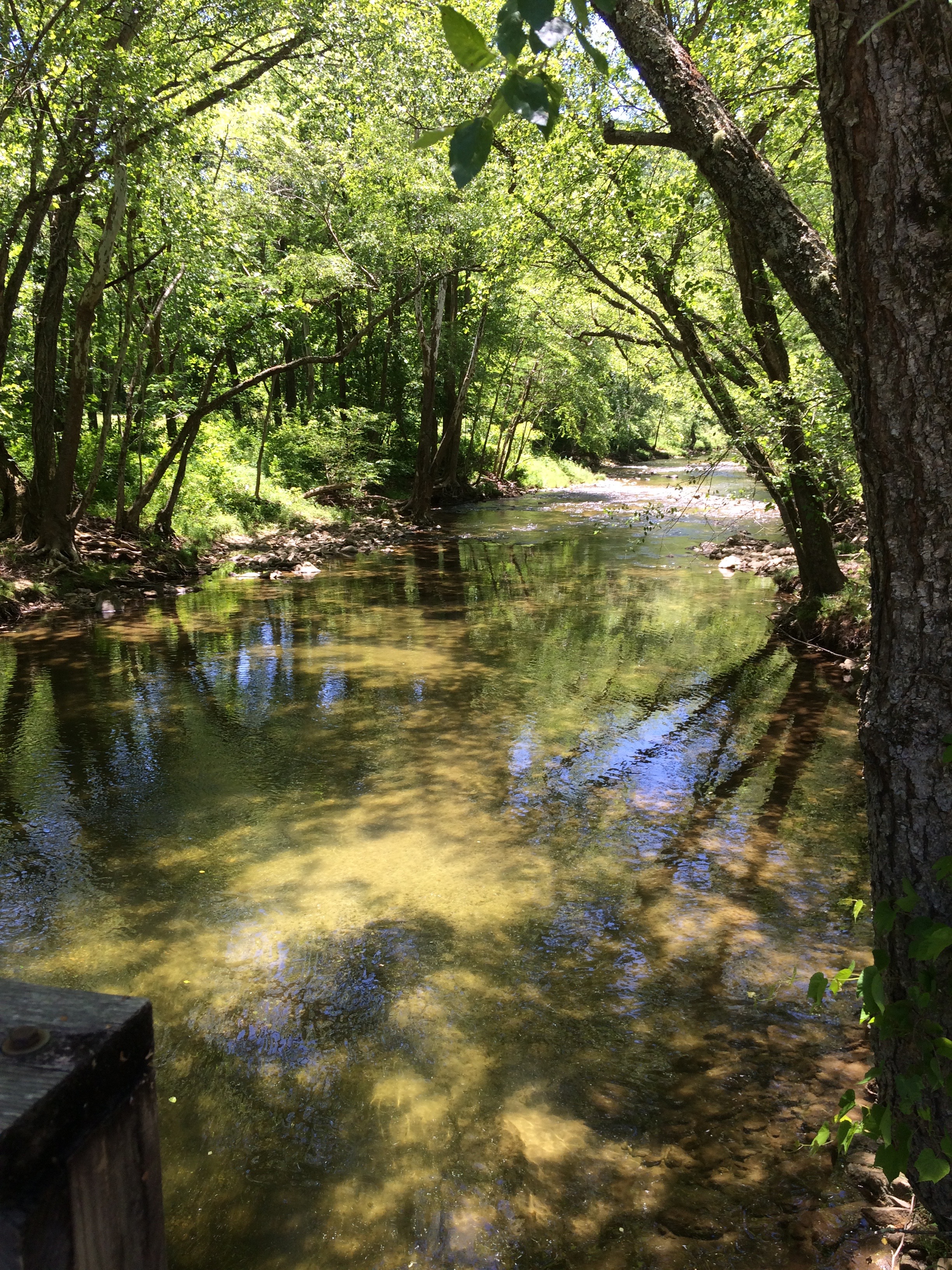
John's River 1.JPG
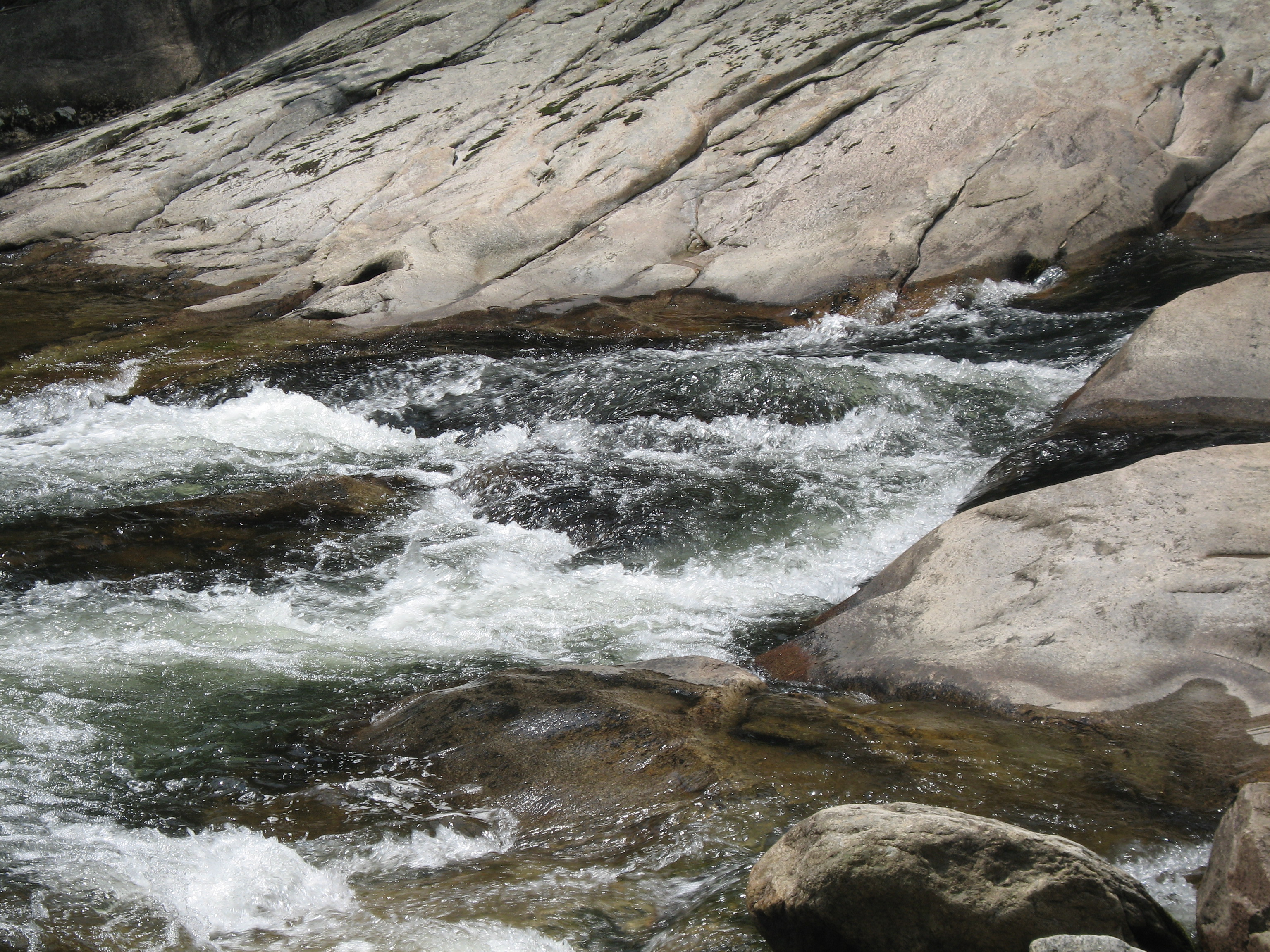
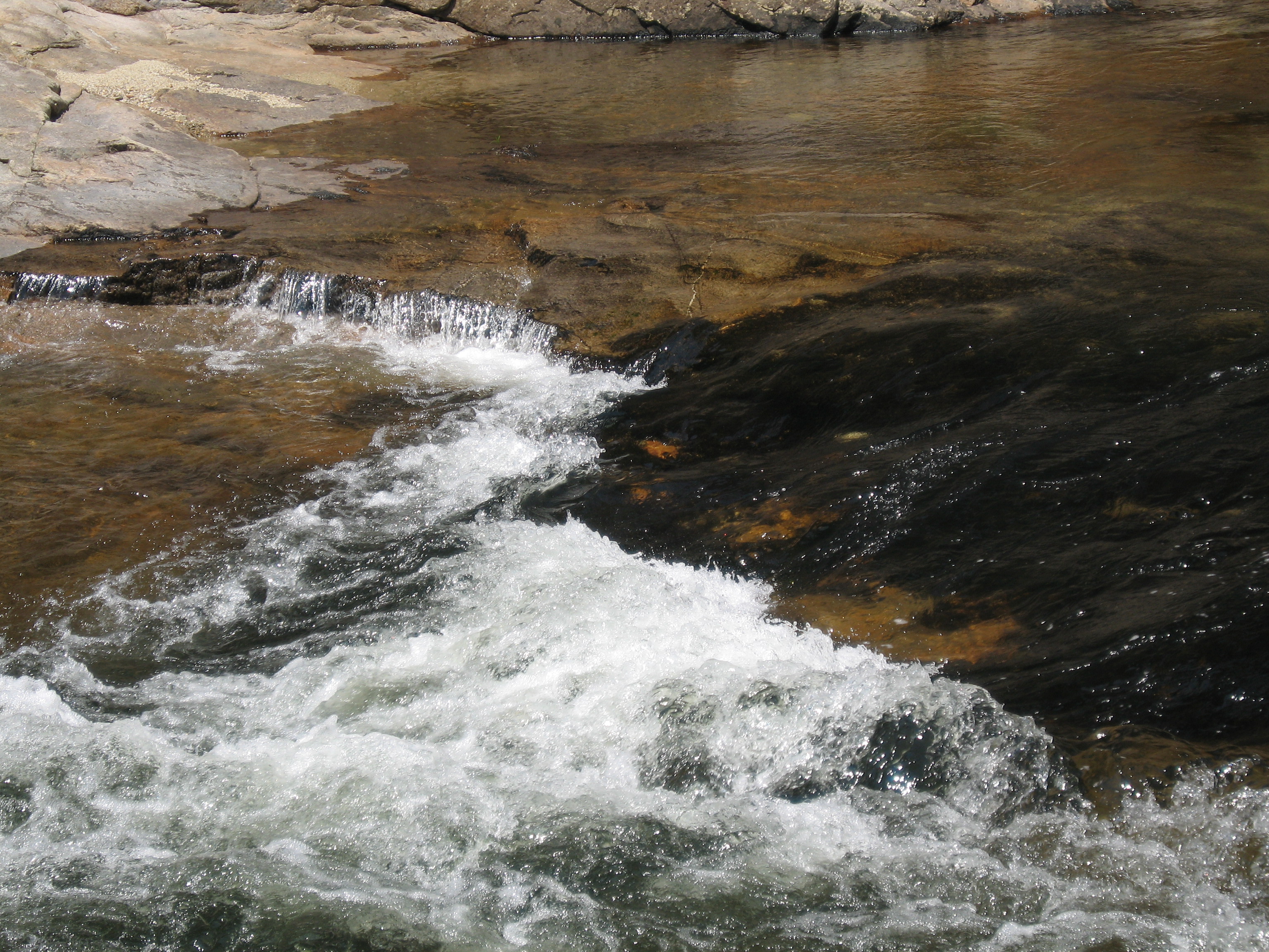
Rapids at WC.JPG

Mountain Meadow

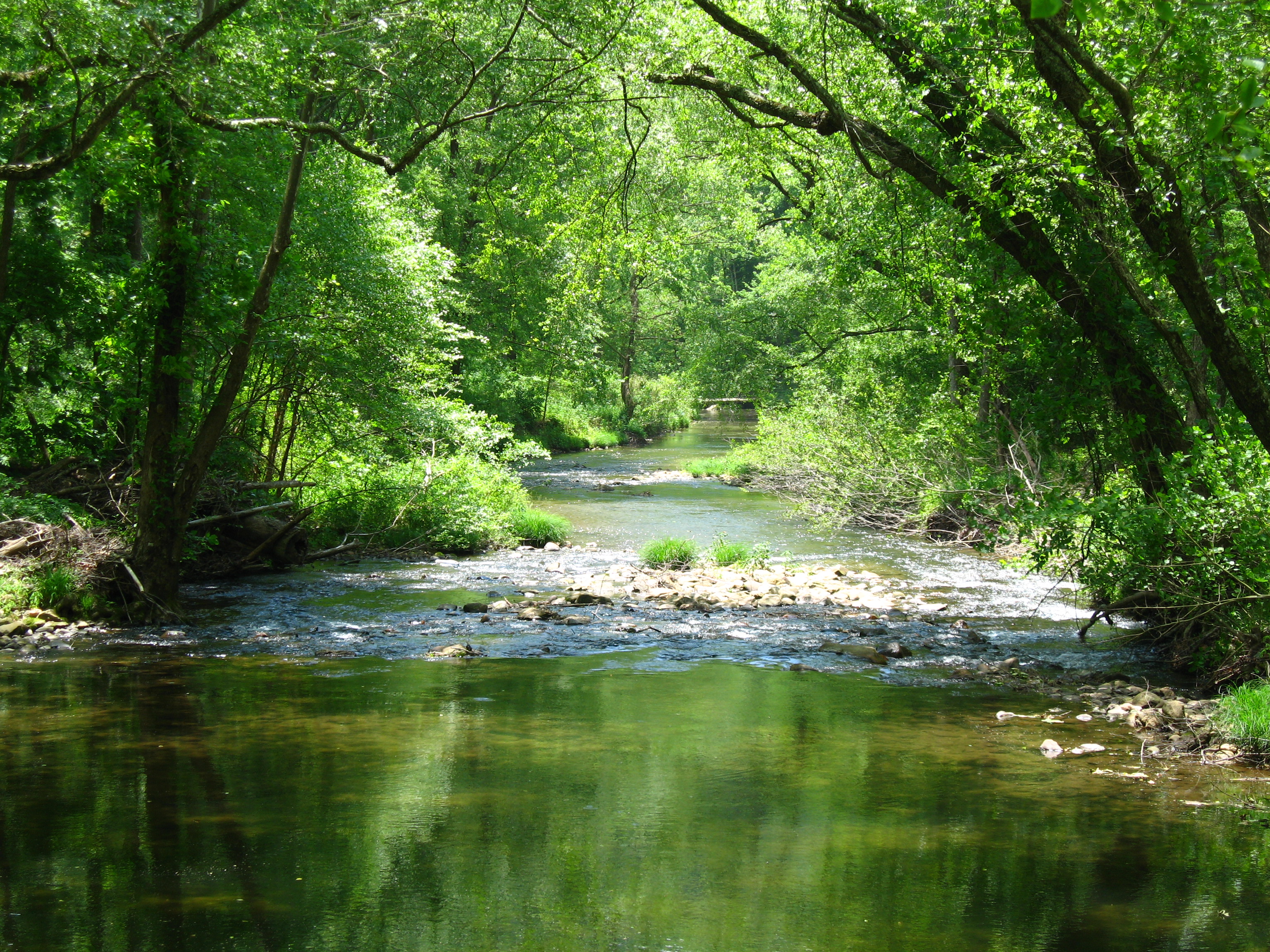
John's River Down Stream
Willie Fishing 1.JPG
Sun and shade

Debris along the banks

John's River 2.JPG
Green valley
Sun canopy
Gentle Flows
WC rushing waters.JPG
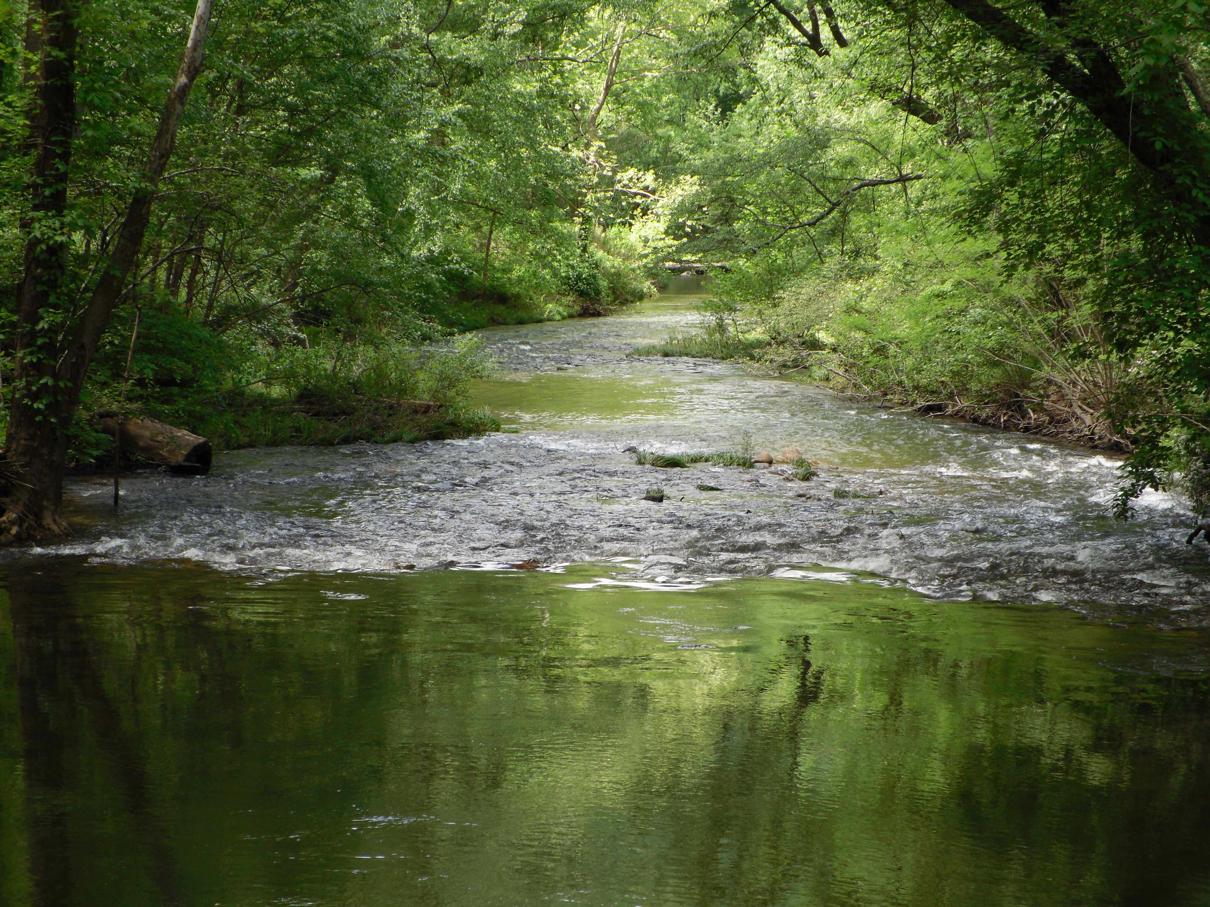
John's River Down Stream

WC water.JPG
How great is this road? It's the road that leads to the house I'm staying in for Thanksgiving!!

River through the Spider's web
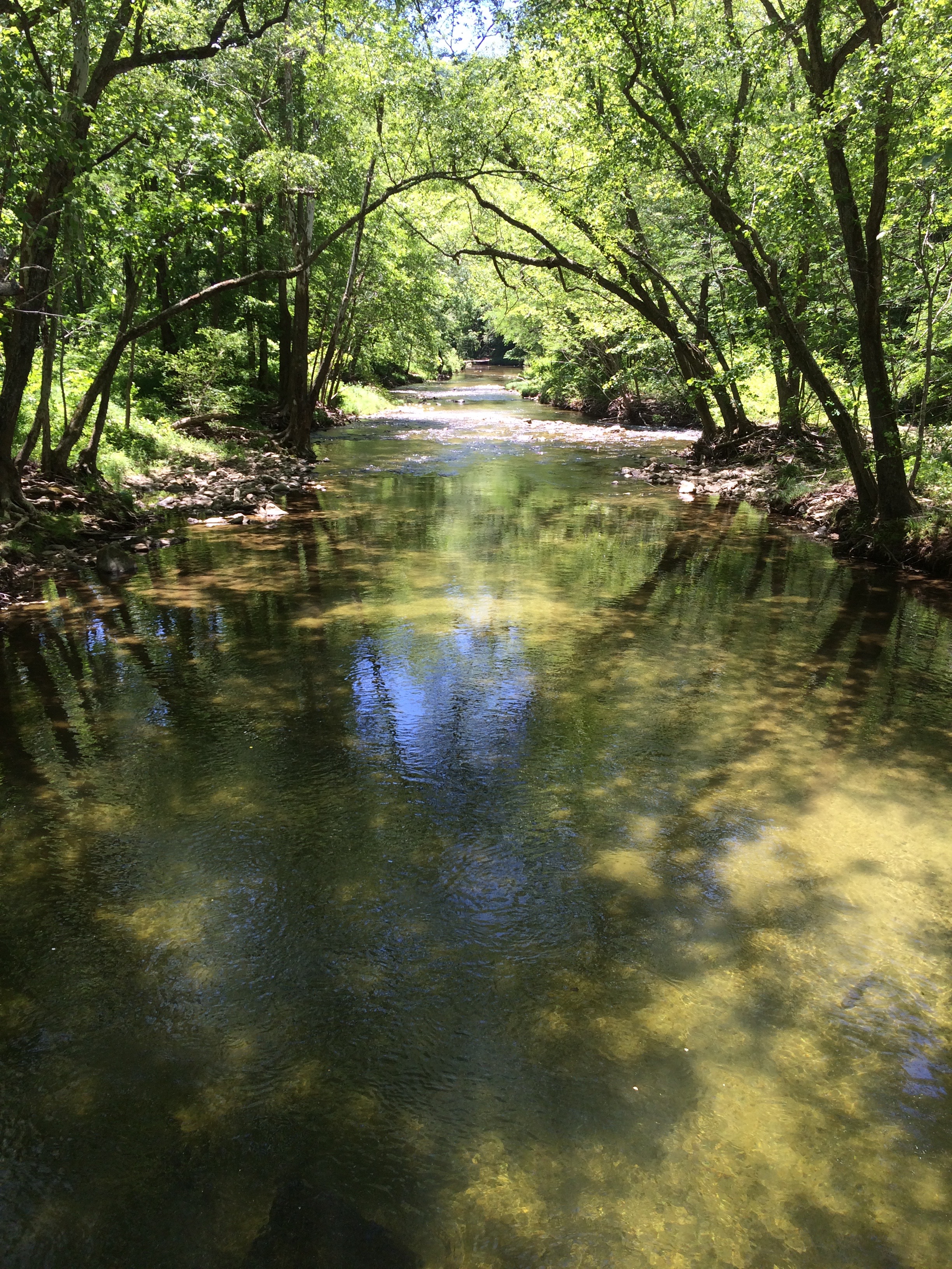
Looking downstream

John's River Down Stream
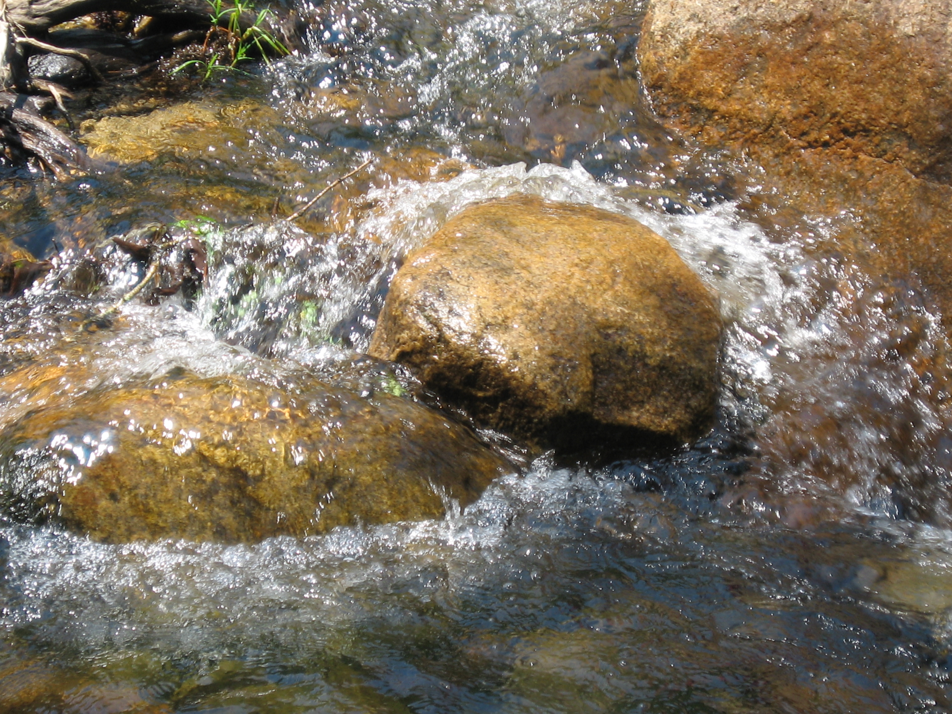
WC water over stones.JPG

John's River Down Stream
WC.JPG
Topographic Map of Pigtail Rd, Lenoir, NC, USA
Find elevation by address:

Places near Pigtail Rd, Lenoir, NC, USA:
2011 Pigtail Rd
Wendwood Dr, Lenoir, NC, USA
3851 Tall Cypress Ln
1111 Nc-268
Chetola Drive
3575 Chetola Dr
3575 Chetola Dr
1606 Charlie Triplett Rd #1
1606 Charlie Triplett Rd #1
4365 Farmer Ln
4365 Farmer Ln
Indian Grave Rd, Lenoir, NC, USA
Olde Ridge Road
4357 Farmer Ln
2495 Dimmette Rd
High Lake
NC-, Lenoir, NC, USA
Valley Court
4440 Yadkin View Dr
5085 Buffalo Cove Rd
Recent Searches:
- Elevation of Elwyn Dr, Roanoke Rapids, NC, USA
- Elevation of Congressional Dr, Stevensville, MD, USA
- Elevation of Bellview Rd, McLean, VA, USA
- Elevation of Stage Island Rd, Chatham, MA, USA
- Elevation of Shibuya Scramble Crossing, 21 Udagawacho, Shibuya City, Tokyo -, Japan
- Elevation of Jadagoniai, Kaunas District Municipality, Lithuania
- Elevation of Pagonija rock, Kranto 7-oji g. 8"N, Kaunas, Lithuania
- Elevation of Co Rd 87, Jamestown, CO, USA
- Elevation of Tenjo, Cundinamarca, Colombia
- Elevation of Côte-des-Neiges, Montreal, QC H4A 3J6, Canada