Elevation of Dimmette Rd, Lenoir, NC, USA
Location: United States > North Carolina > Caldwell County > Lenoir > Lenoir >
Longitude: -81.517811
Latitude: 35.9637176
Elevation: 396m / 1299feet
Barometric Pressure: 97KPa
Elevation Map:
Satellite Map:
Related Photos:

[Full View] Old Hat, Downtown Lenoir, Jonathan Cox Photoshoot
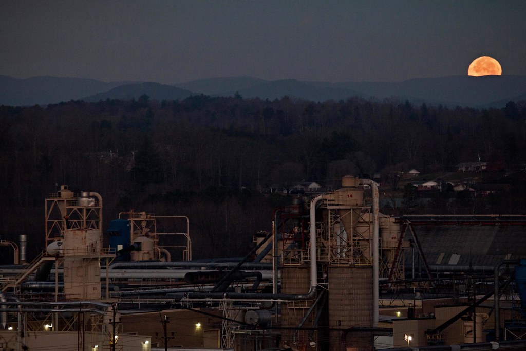
Moonset Over the Blue Ridge Mountains 48/52
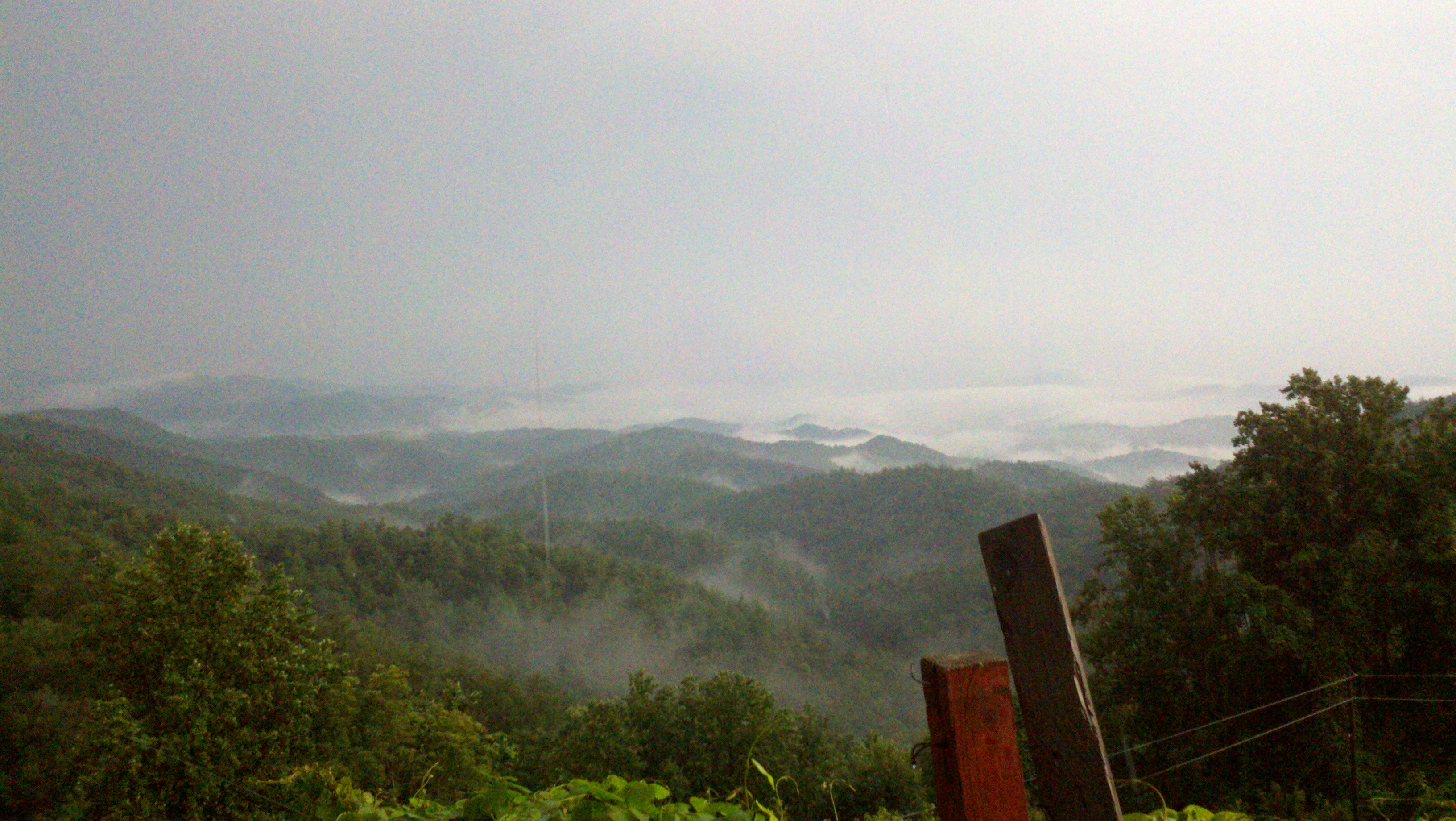
The view of the Blue Ridge Mountains just outside Blowing Rock NC.
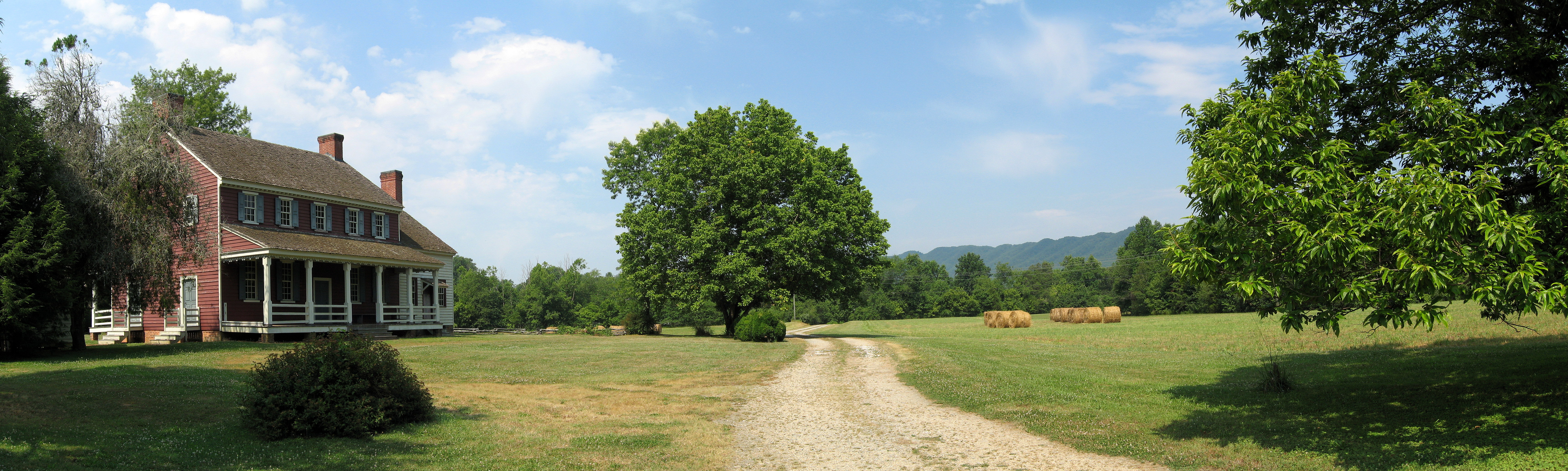
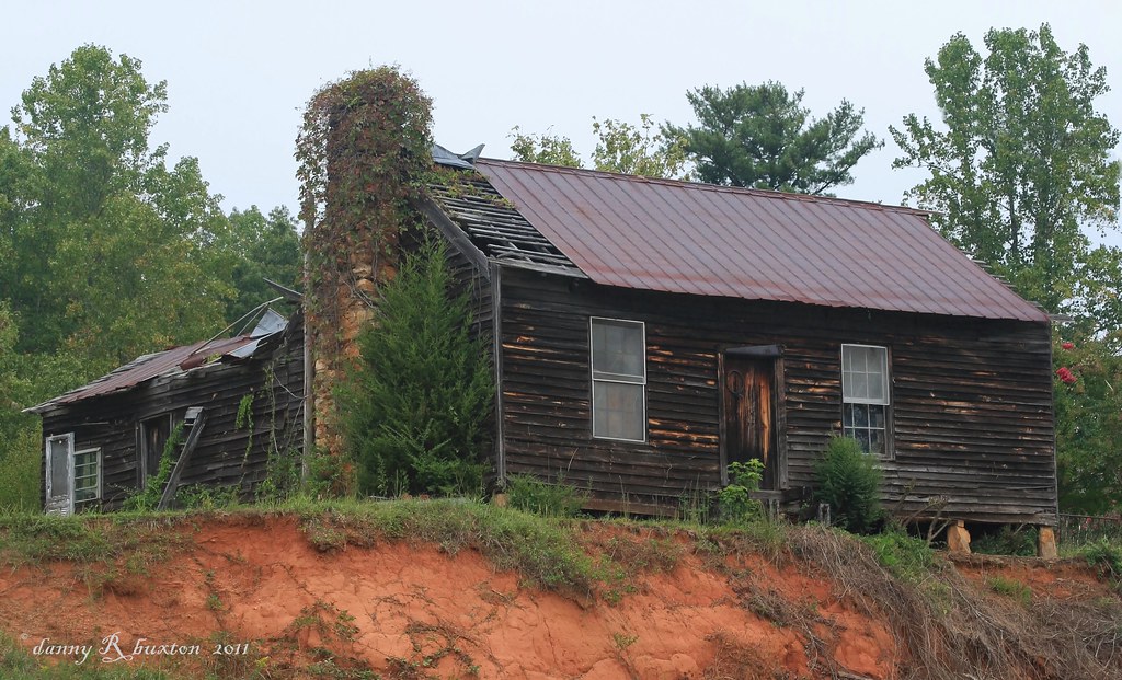
Fort Defiance
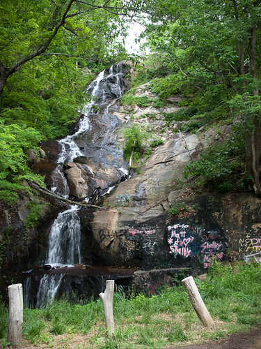
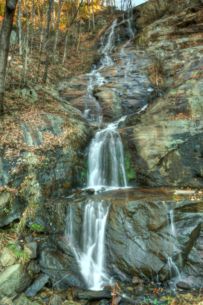
Waterfall Road waterfall - Part 2
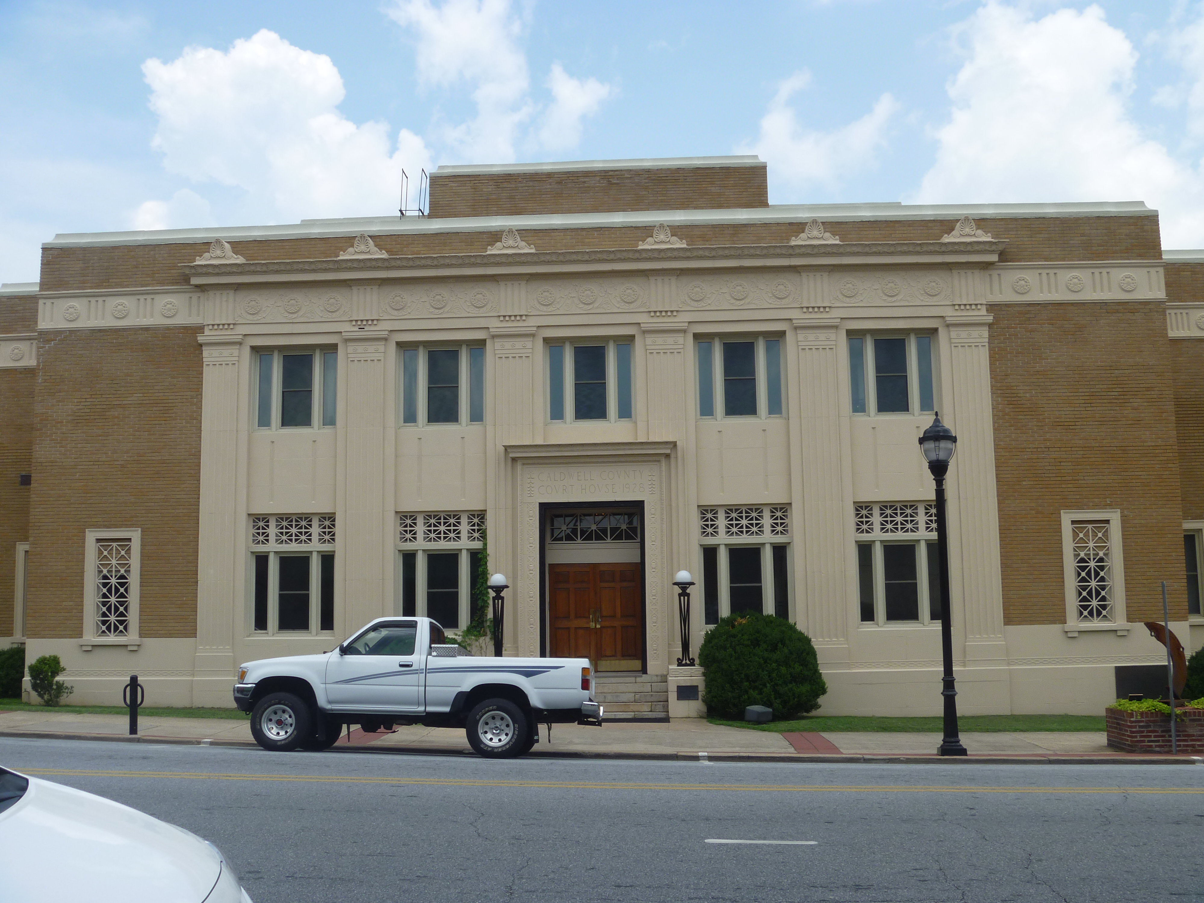
Front View, Caldwell County Courthouse
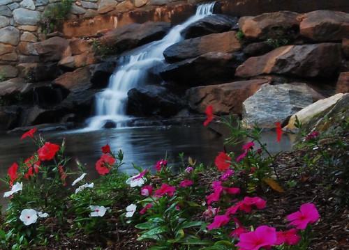
Gentle Flows
Crystal Falls
Watch Your Step! 262/365
Silvervale Falls
Spinning Around, Upside Down

tgiving-20081128-h1606a
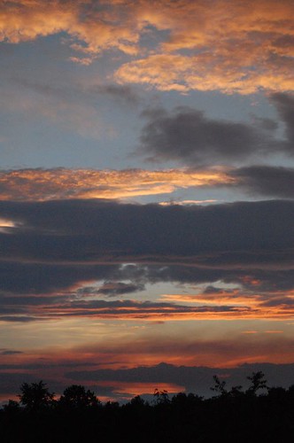
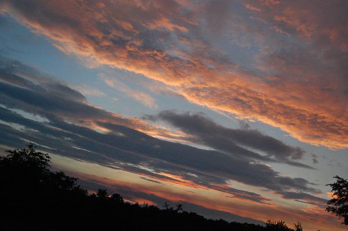
God's Masterpiece
Topographic Map of Dimmette Rd, Lenoir, NC, USA
Find elevation by address:

Places near Dimmette Rd, Lenoir, NC, USA:
High Lake
Indian Grave Rd, Lenoir, NC, USA
1111 Georgetown Ln
Zack's Fork Mountain Bike Trail
Candlelight Farm Ln, Lenoir, NC, USA
3575 Chetola Dr
3575 Chetola Dr
Chetola Drive
Severt Circle
1020 Ridgewood Dr Ne
3851 Tall Cypress Ln
1606 Charlie Triplett Rd #1
1606 Charlie Triplett Rd #1
Hawthorne Dr NE, Lenoir, NC, USA
Echo Drive
328 Fairlane Dr Ne
4357 Farmer Ln
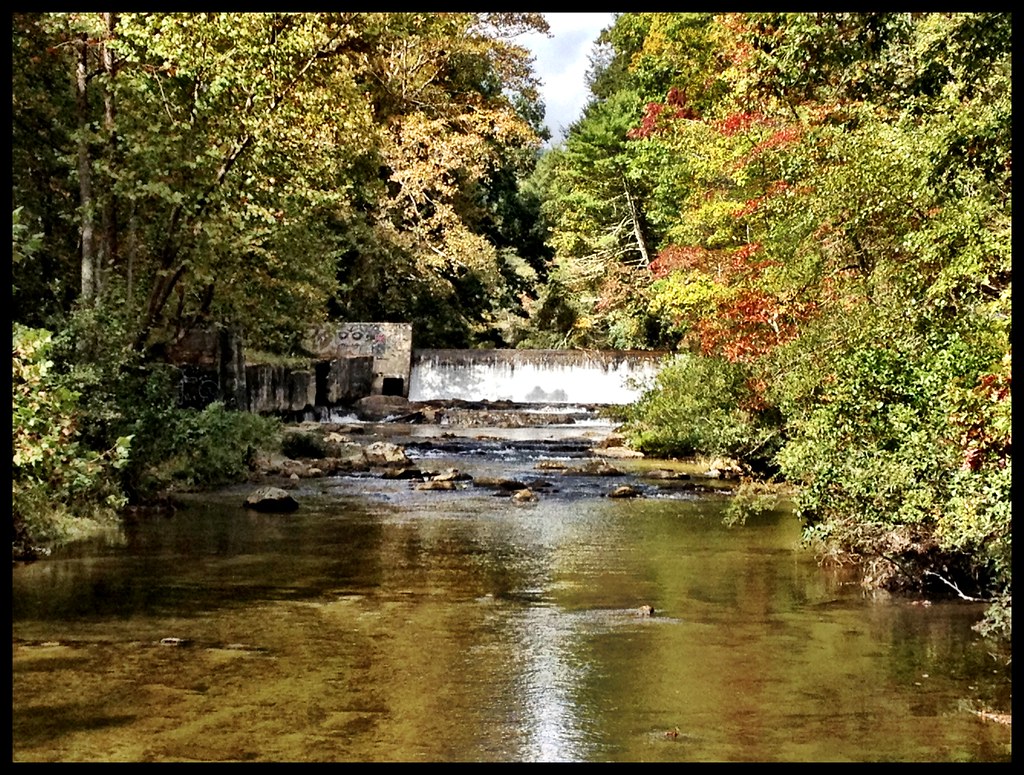
Lower Creek
4365 Farmer Ln
4365 Farmer Ln
Recent Searches:
- Elevation of Felindre, Swansea SA5 7LU, UK
- Elevation of Leyte Industrial Development Estate, Isabel, Leyte, Philippines
- Elevation of W Granada St, Tampa, FL, USA
- Elevation of Pykes Down, Ivybridge PL21 0BY, UK
- Elevation of Jalan Senandin, Lutong, Miri, Sarawak, Malaysia
- Elevation of Bilohirs'k
- Elevation of 30 Oak Lawn Dr, Barkhamsted, CT, USA
- Elevation of Luther Road, Luther Rd, Auburn, CA, USA
- Elevation of Unnamed Road, Respublika Severnaya Osetiya — Alaniya, Russia
- Elevation of Verkhny Fiagdon, North Ossetia–Alania Republic, Russia