Elevation of Piggy Plus, Kananaskis, AB T0L, Canada
Location: Canada > Alberta > Division No. 15 > Kananaskis >
Longitude: -115.33
Latitude: 50.7483333
Elevation: 2633m / 8638feet
Barometric Pressure: 73KPa
Elevation Map:
Satellite Map:
Related Photos:

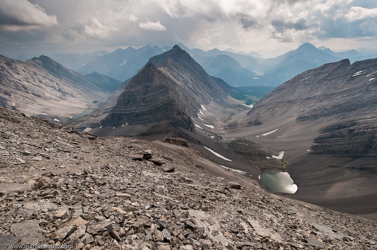
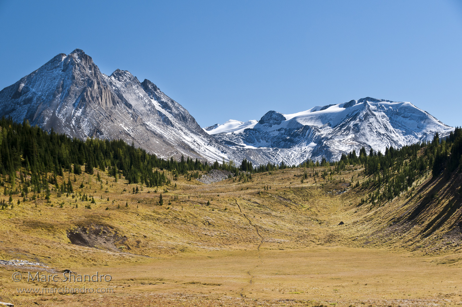
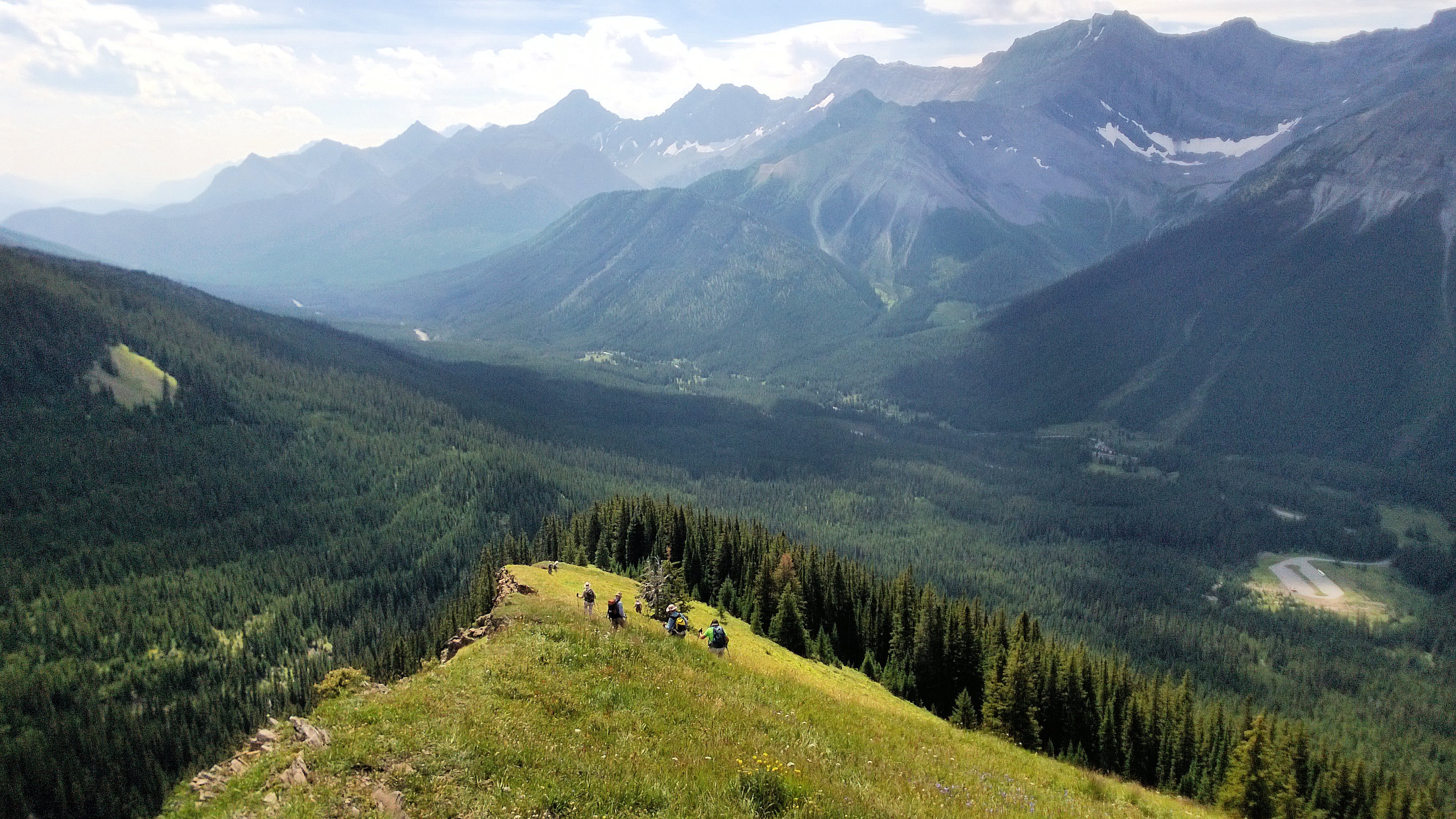
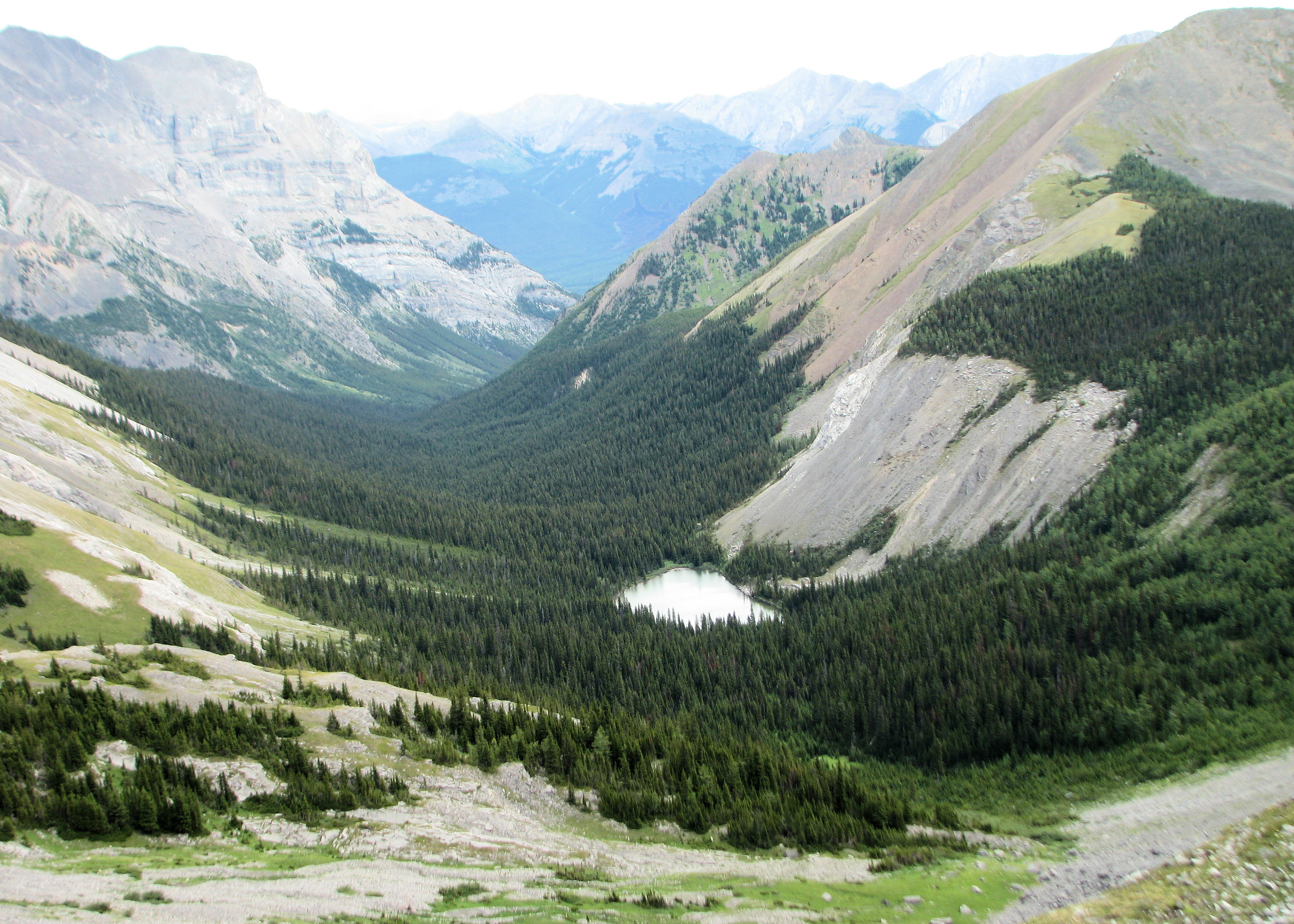
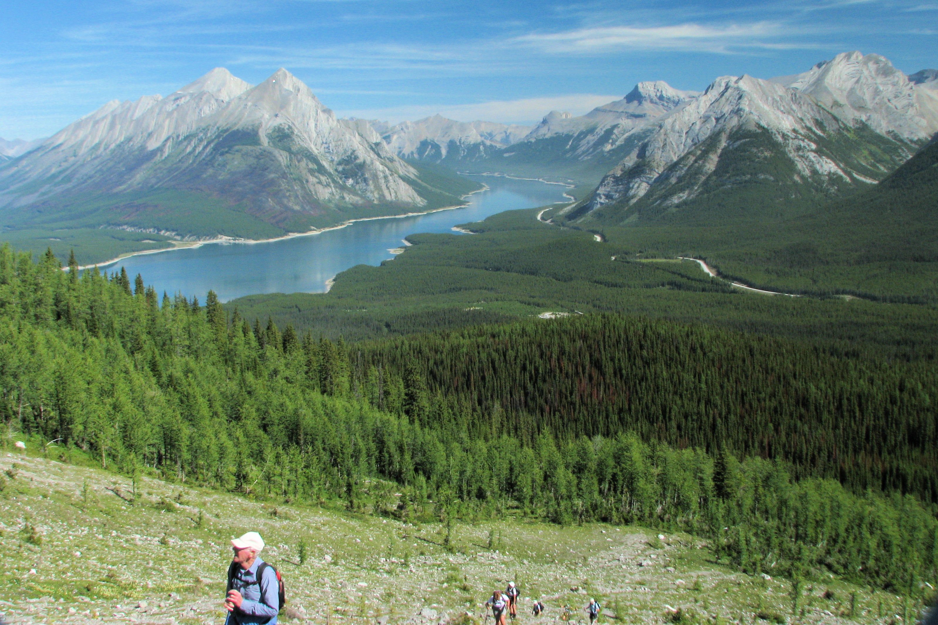
View From North Kananaskis Pass - Canadian Rockies
The Valleys Surrounding Mt. Chester
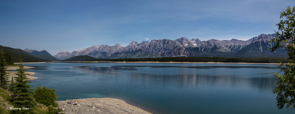
Interlakes Pano

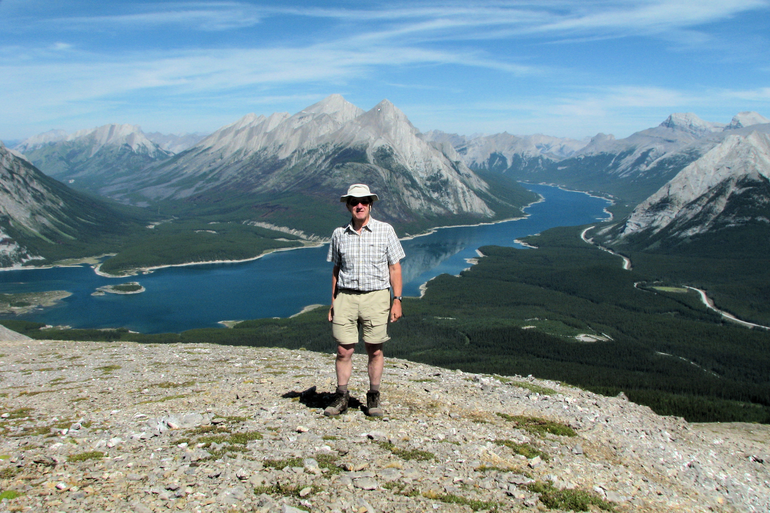
View from Mount Smuts
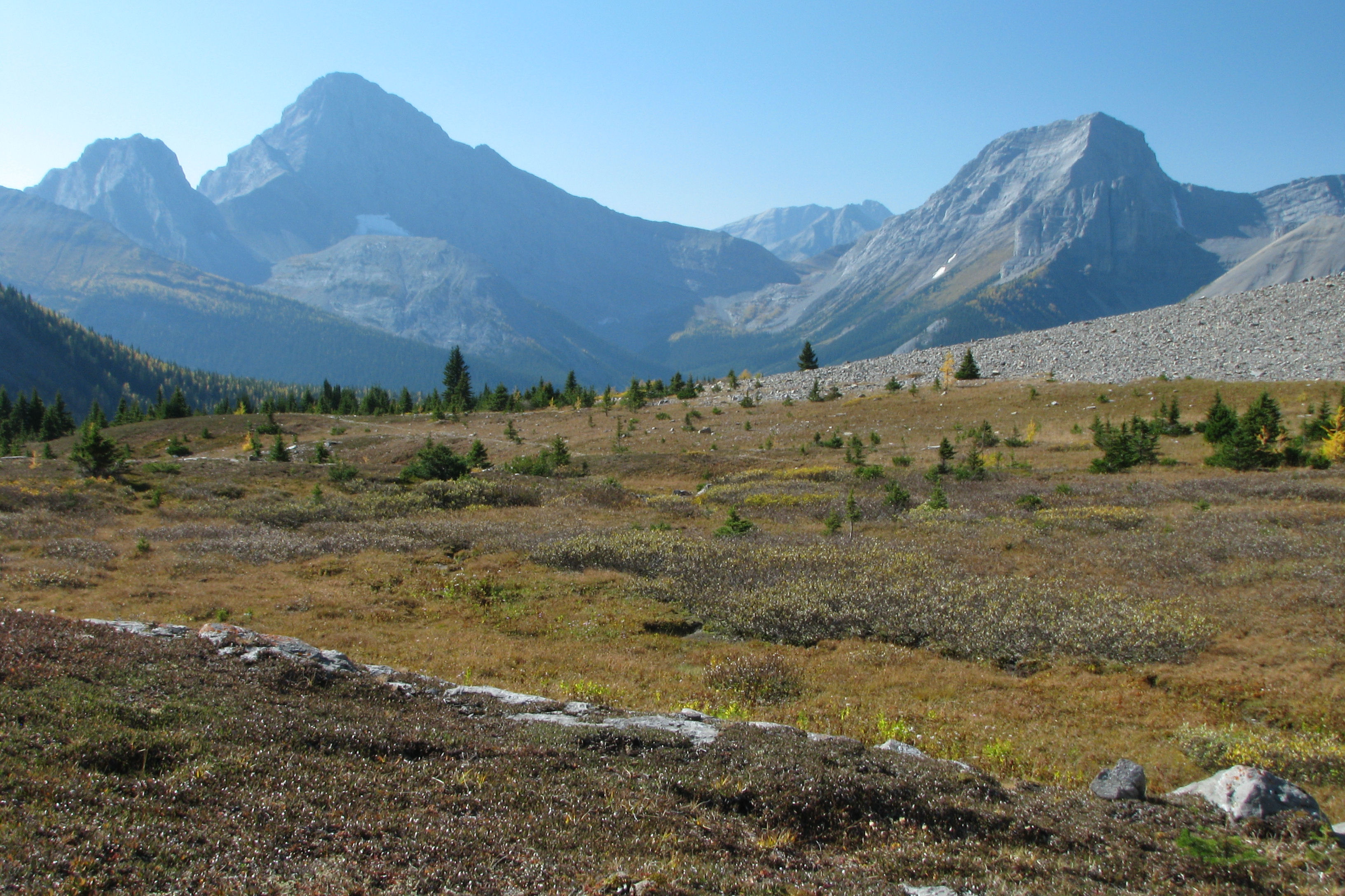
Fall view
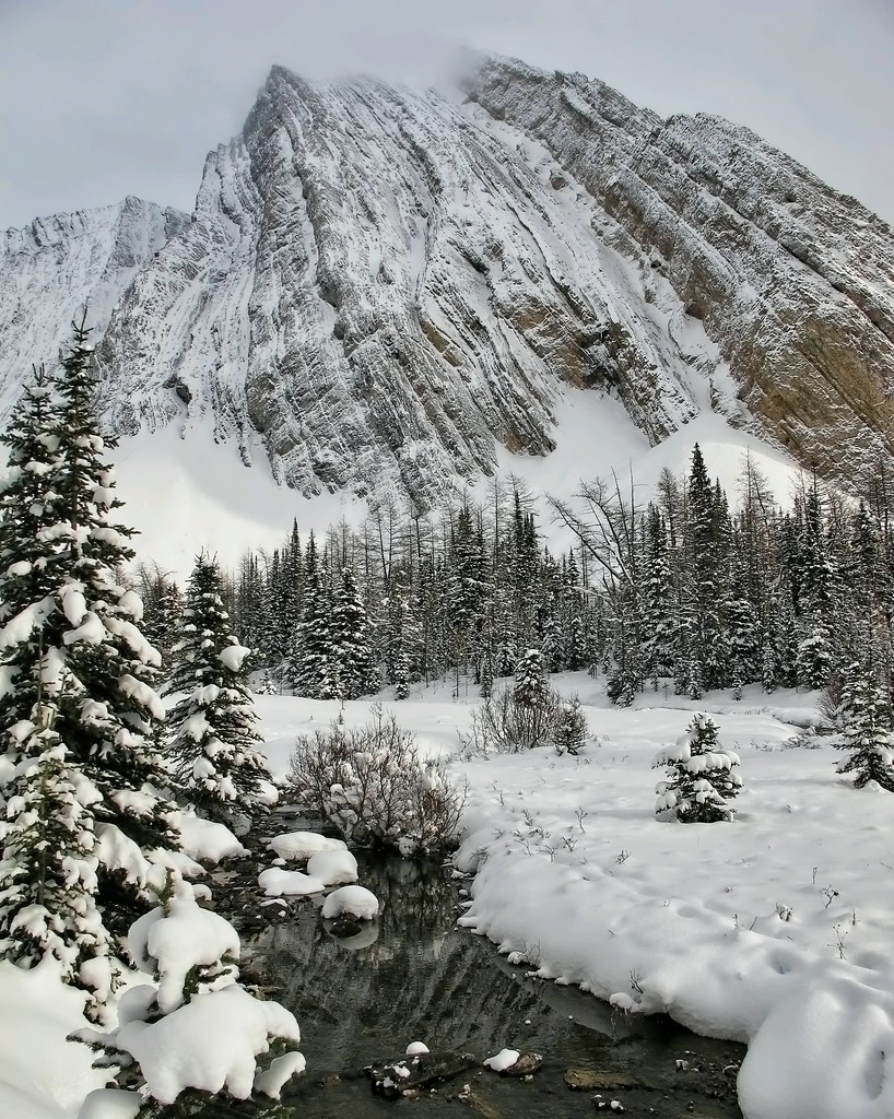
Heaven on earth
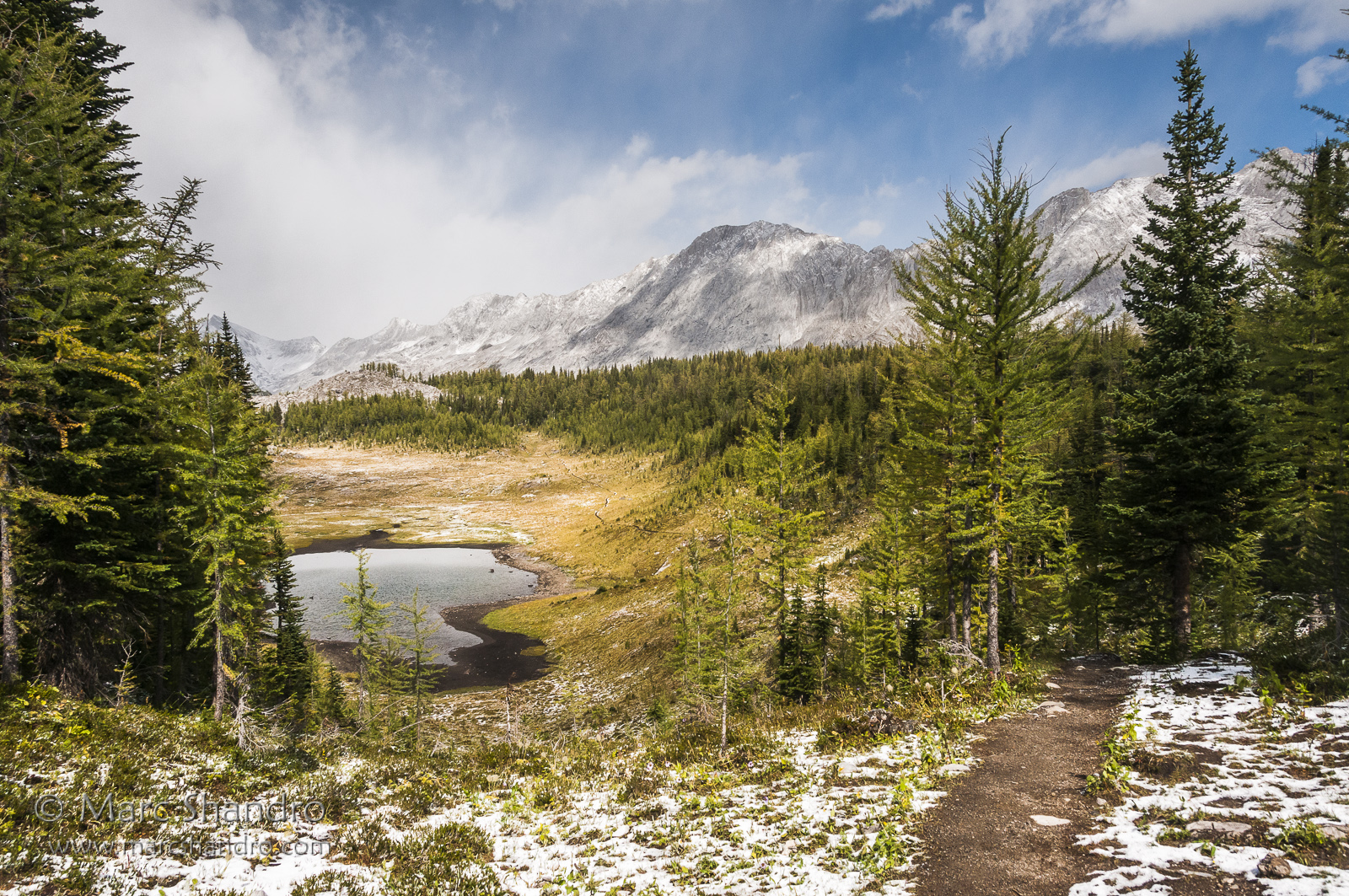
South Kananaskis Pass
Putnik Pond - Kananaskis Alberta - Canadian Rockies
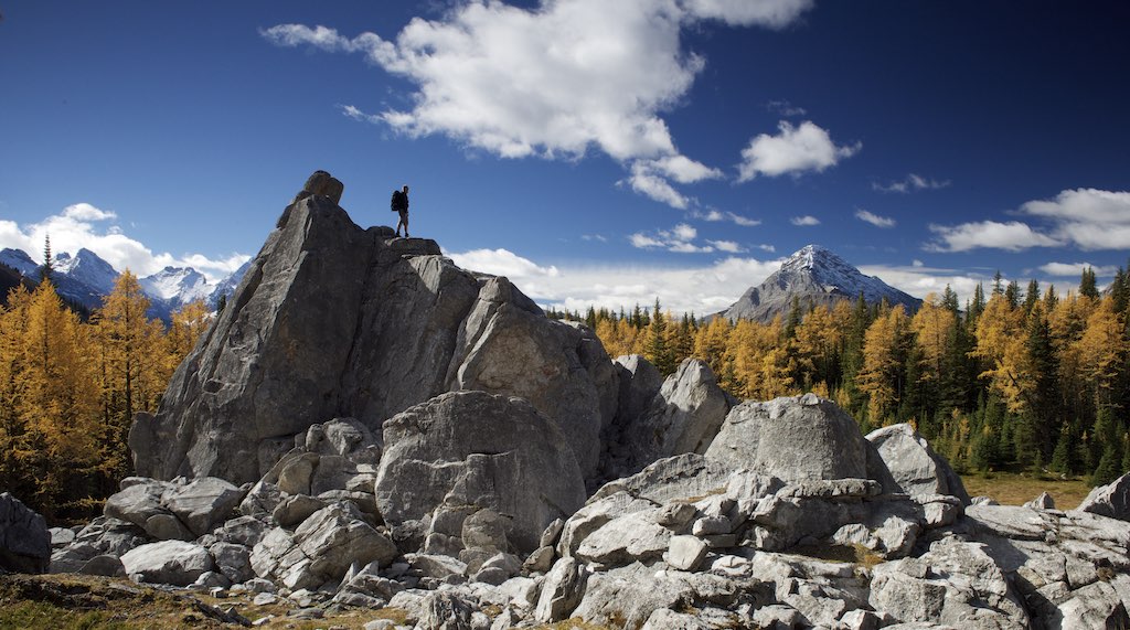
On the Outlier
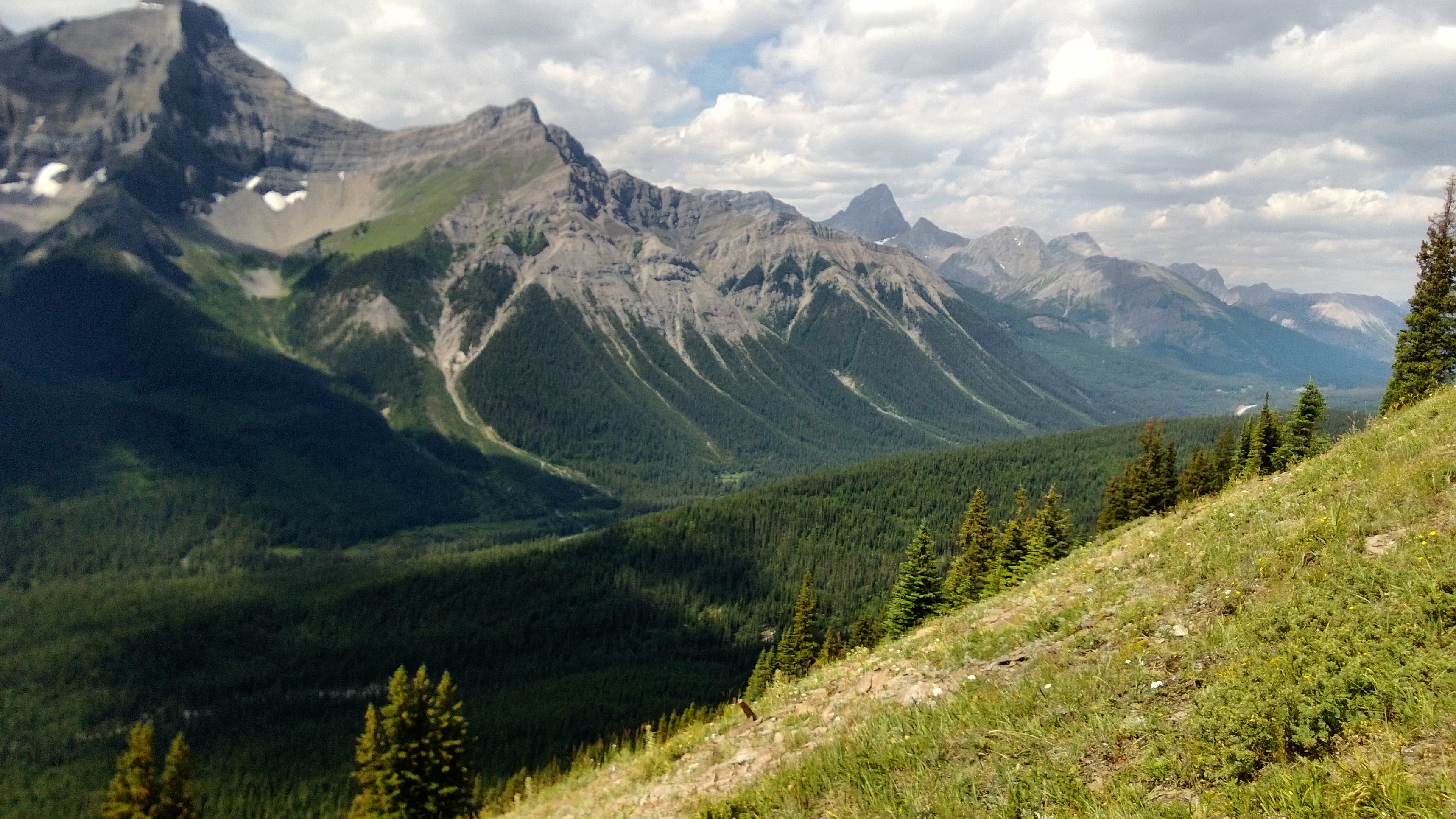
View From Smut's Pass
Spray Valley South

Mount James Walker
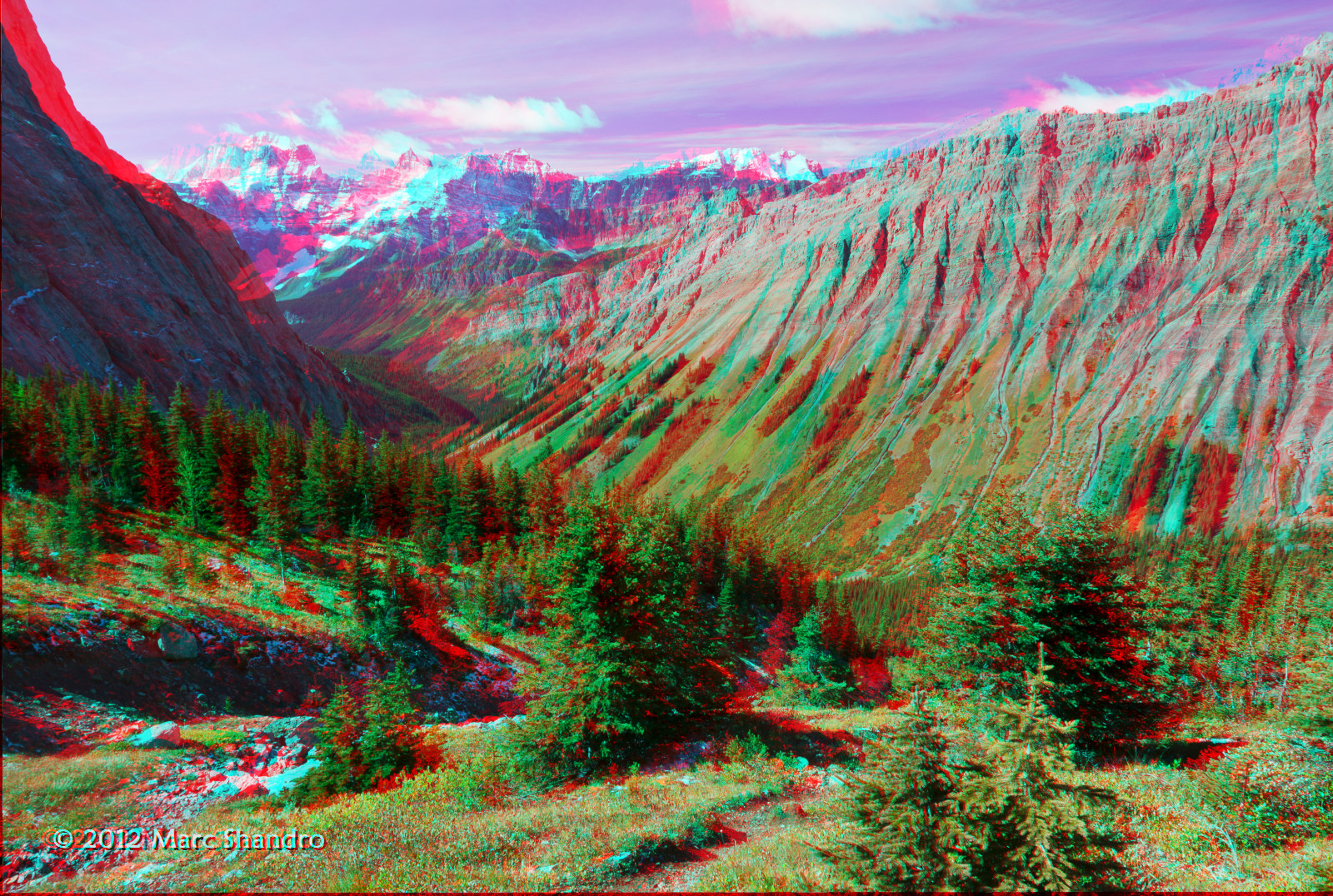
View From North Kananaskis Pass - Canadian Rockies - 3D
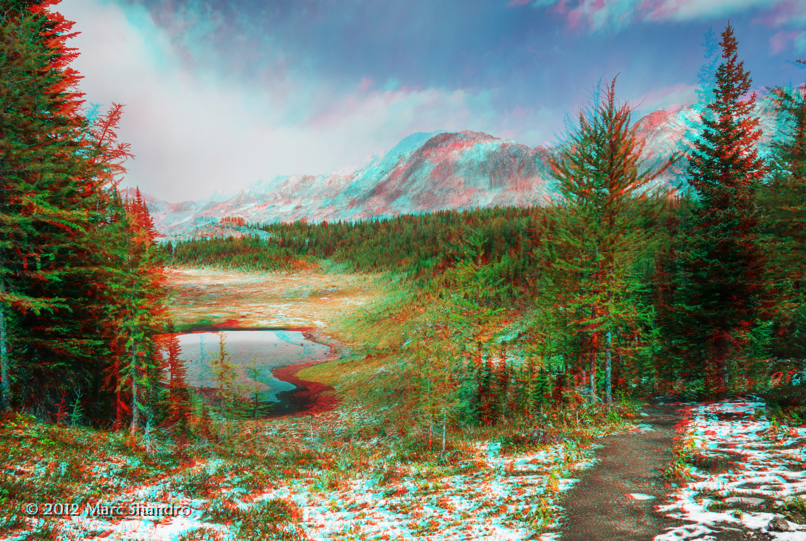
Putnik Pond - Kananaskis Alberta - Canadian Rockies - 3D
Spray Valley North
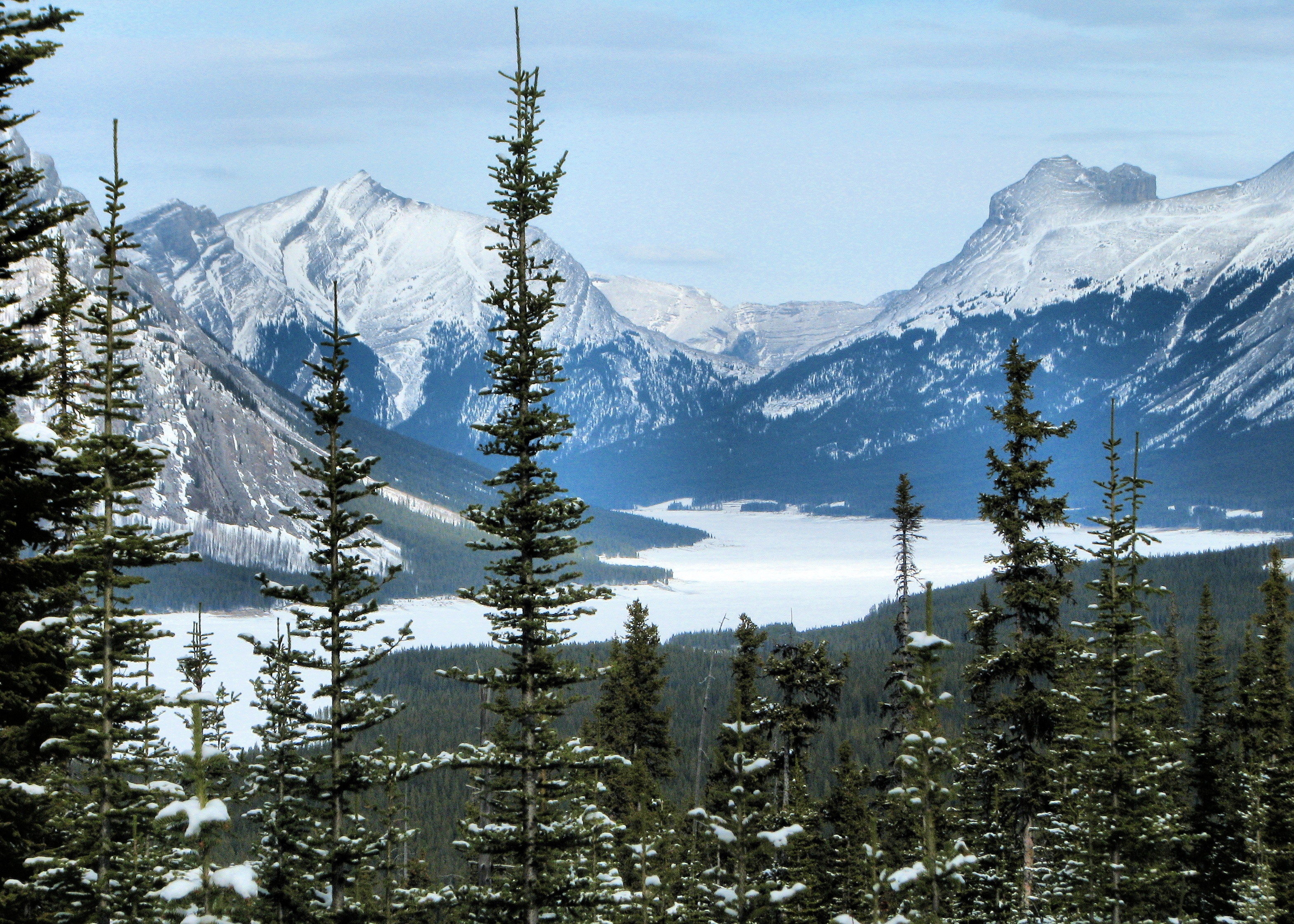
Lost Lake
Here Again
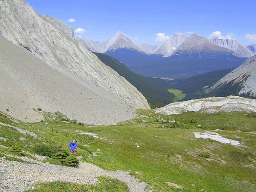
Long View Back
Ground level view of Spray Lake

The Spoon Needle Summit
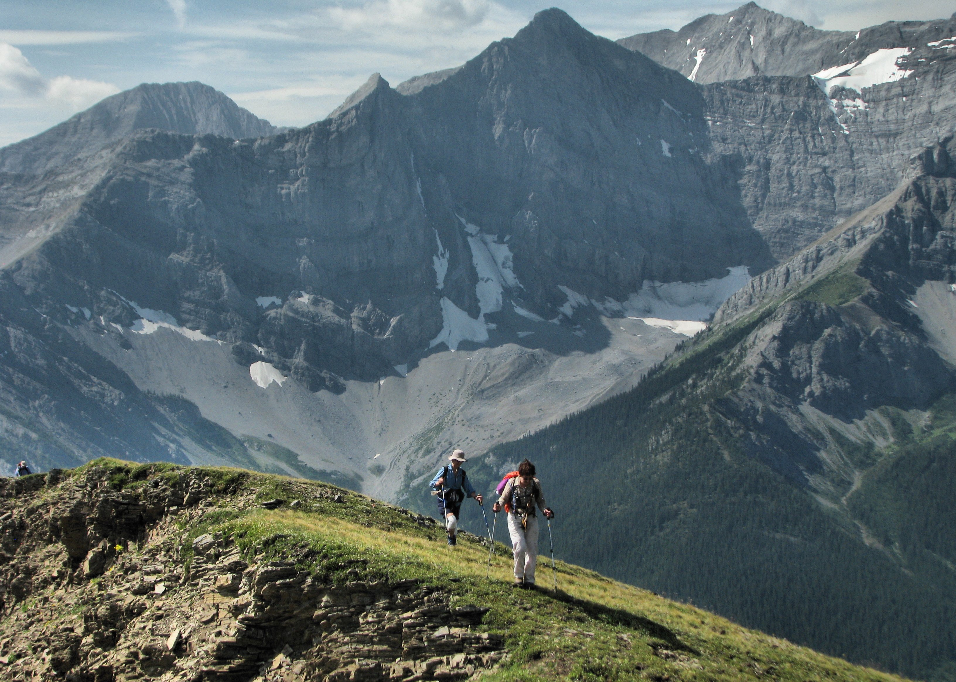
Almost There
Topographic Map of Piggy Plus, Kananaskis, AB T0L, Canada
Find elevation by address:

Places near Piggy Plus, Kananaskis, AB T0L, Canada:
Whistling Rock Peak
Mount Burstall
Mount Sir Douglas
Mount Monro
Mount Leroy
Commonwealth Peak
Sir Douglas W2
Mount Birdwood
Snow Peak
Mount Queen Elizabeth
Mount King Albert
Mount Back
Mount Cradock
Tipperary Peak
Mount Leval
Lockwood Peak
Sharkfin Ne3
Mount Prince John
Mount Queen Mary
Queen Mary Nw3
Recent Searches:
- Elevation of Corso Fratelli Cairoli, 35, Macerata MC, Italy
- Elevation of Tallevast Rd, Sarasota, FL, USA
- Elevation of 4th St E, Sonoma, CA, USA
- Elevation of Black Hollow Rd, Pennsdale, PA, USA
- Elevation of Oakland Ave, Williamsport, PA, USA
- Elevation of Pedrógão Grande, Portugal
- Elevation of Klee Dr, Martinsburg, WV, USA
- Elevation of Via Roma, Pieranica CR, Italy
- Elevation of Tavkvetili Mountain, Georgia
- Elevation of Hartfords Bluff Cir, Mt Pleasant, SC, USA