Elevation of Queen Mary NW3, East Kootenay F, BC V0B, Canada
Location: Canada > British Columbia > East Kootenay > East Kootenay F >
Longitude: -115.47333
Latitude: 50.6577777
Elevation: 2494m / 8182feet
Barometric Pressure: 75KPa
Elevation Map:
Satellite Map:
Related Photos:

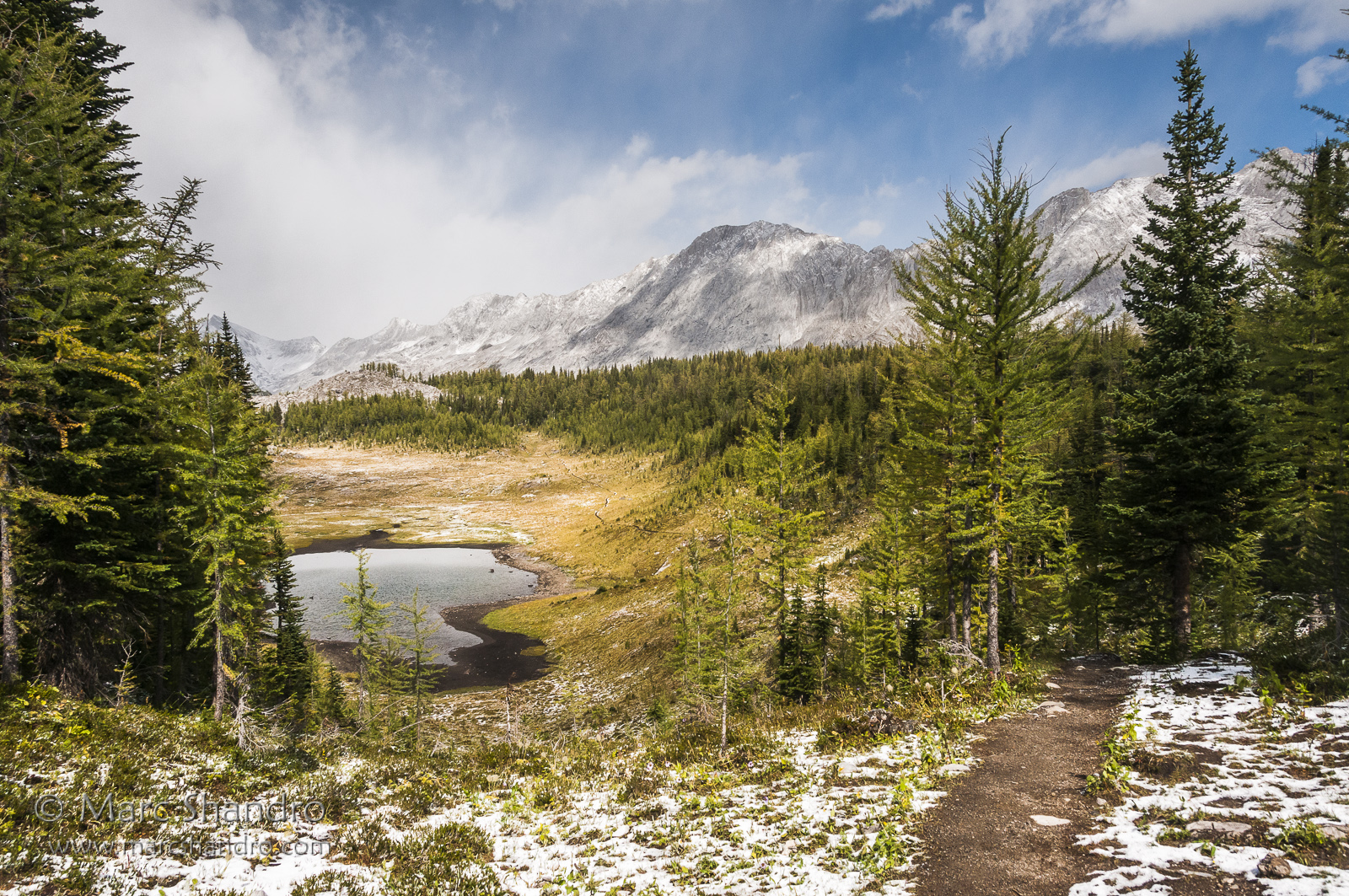
View From North Kananaskis Pass - Canadian Rockies
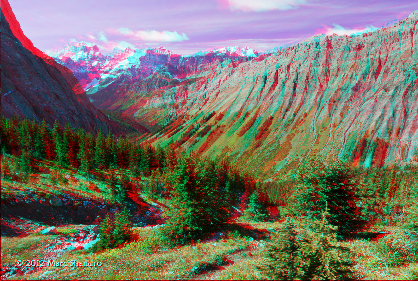
View From North Kananaskis Pass - Canadian Rockies - 3D
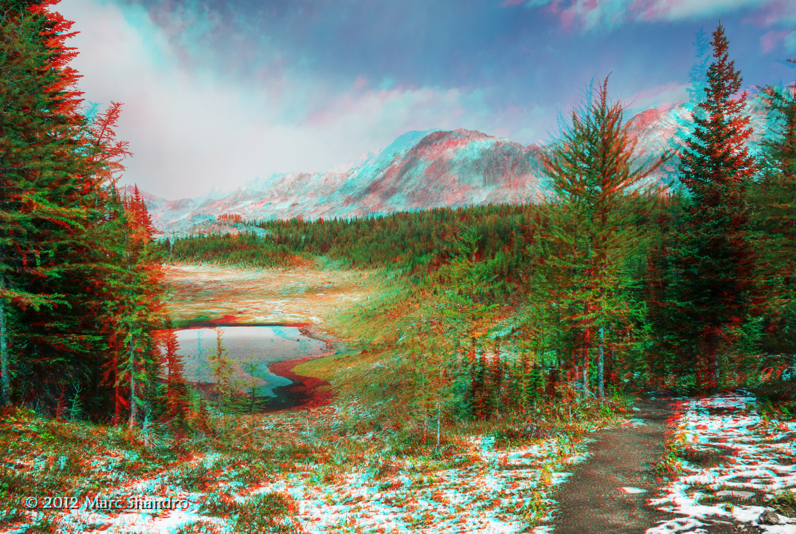
Putnik Pond - Kananaskis Alberta - Canadian Rockies - 3D
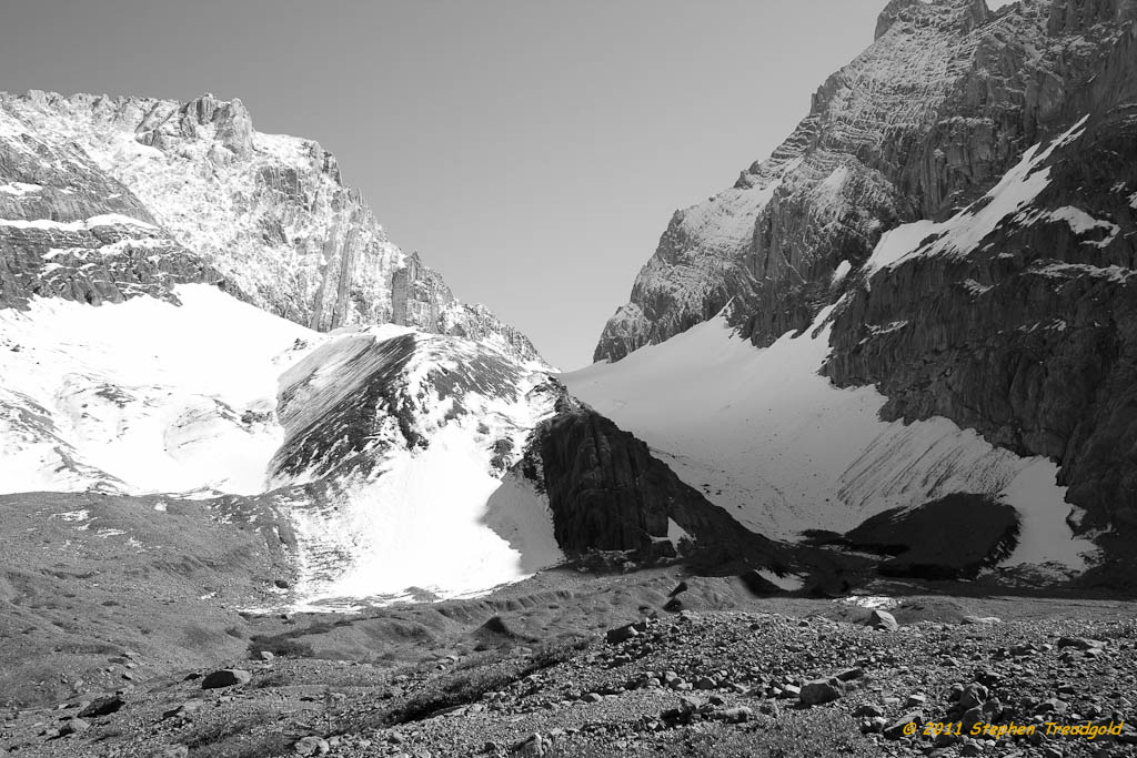
French Glacier in B/W
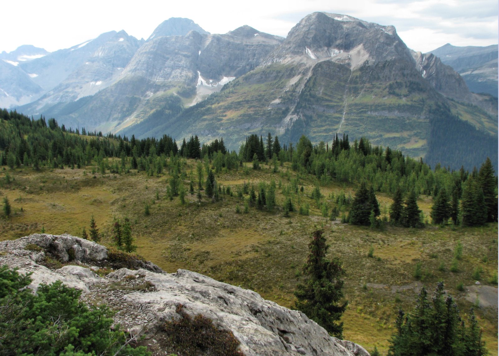
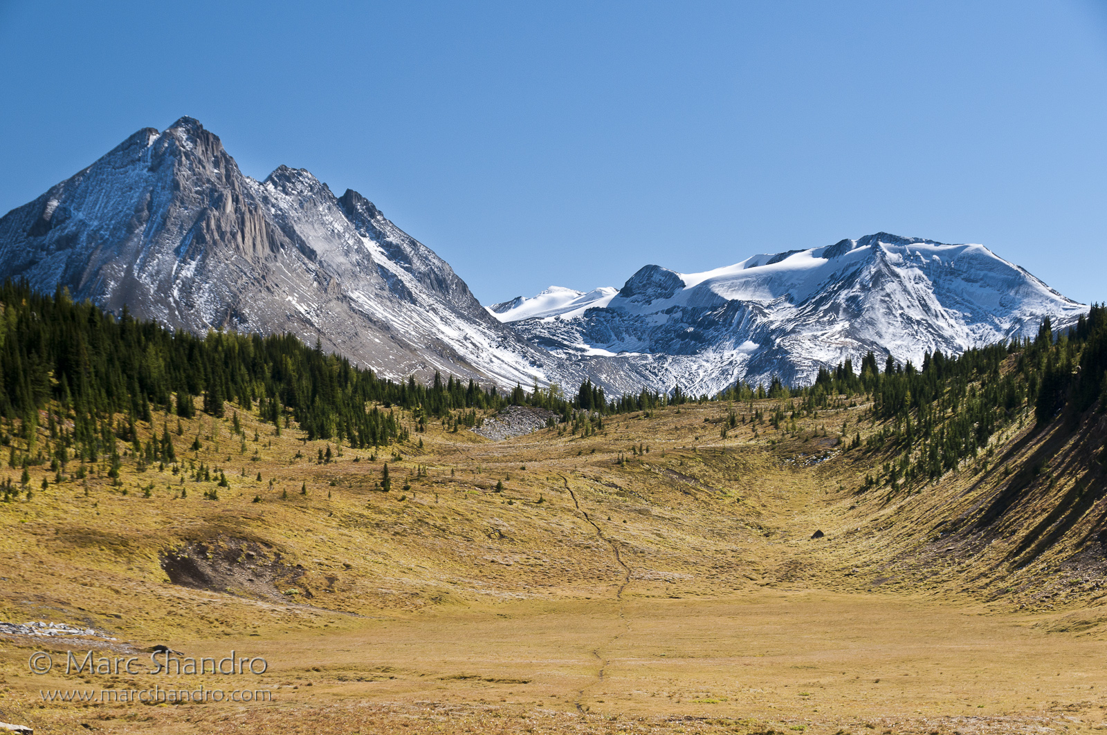
View from Burstall Pass
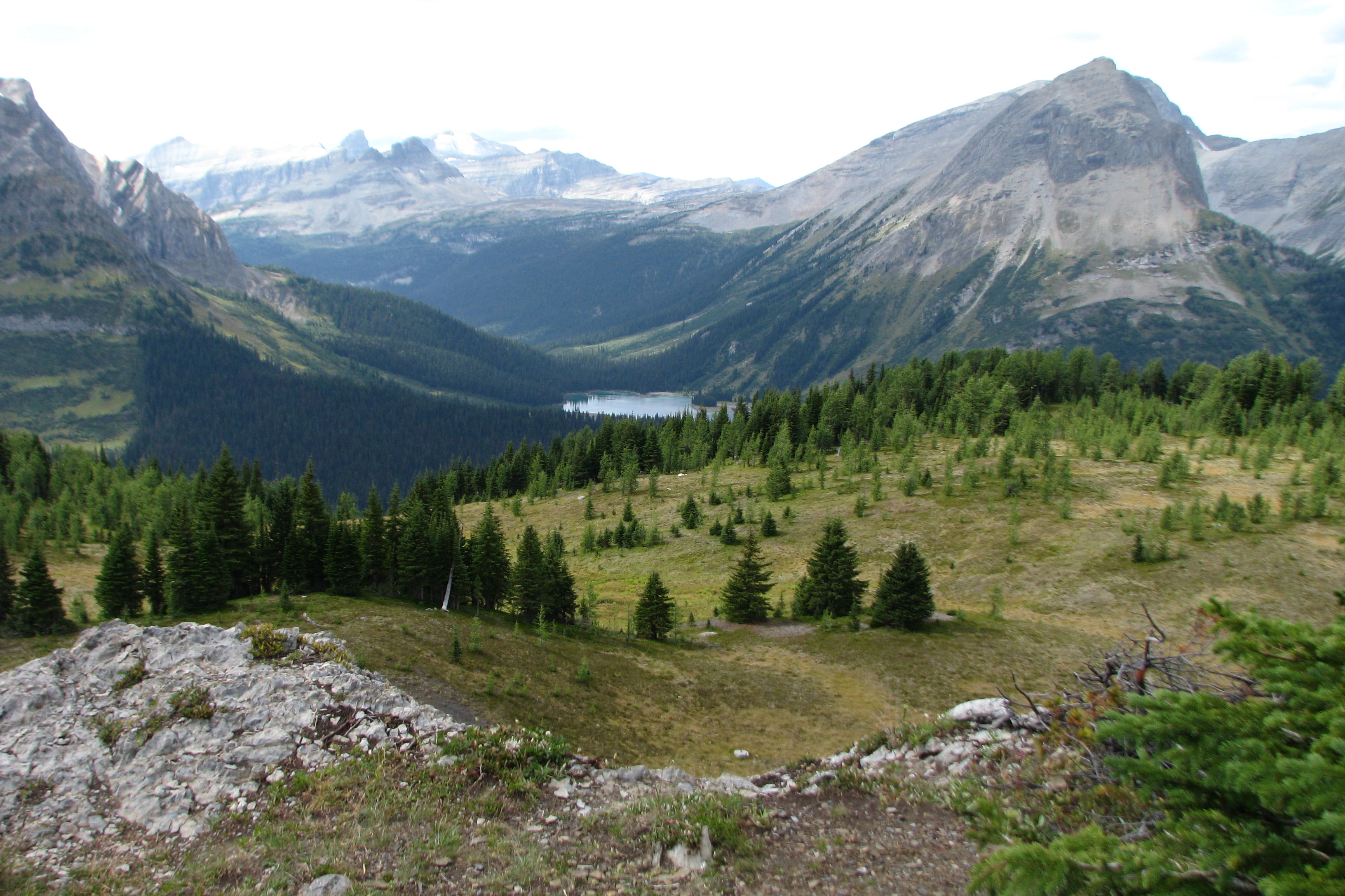
South Kananaskis Pass
Putnik Pond - Kananaskis Alberta - Canadian Rockies
View from Burstall Pass
Topographic Map of Queen Mary NW3, East Kootenay F, BC V0B, Canada
Find elevation by address:

Places near Queen Mary NW3, East Kootenay F, BC V0B, Canada:
Queen Mary Nw4
Queen Mary W2
Queen Mary W3
Queen Mary W5
Mount Queen Mary
Mount Prince John
Lockwood Peak
Sharkfin Peak
Tipperary Peak
Sharkfin Ne3
Mount Back
Mount Cradock
Mount Soderholm
Mount King Albert
Soderholm S4
Mount Queen Elizabeth
Mount Leval
Sir Douglas W2
Snow Peak
Mount Leroy
Recent Searches:
- Elevation of Corso Fratelli Cairoli, 35, Macerata MC, Italy
- Elevation of Tallevast Rd, Sarasota, FL, USA
- Elevation of 4th St E, Sonoma, CA, USA
- Elevation of Black Hollow Rd, Pennsdale, PA, USA
- Elevation of Oakland Ave, Williamsport, PA, USA
- Elevation of Pedrógão Grande, Portugal
- Elevation of Klee Dr, Martinsburg, WV, USA
- Elevation of Via Roma, Pieranica CR, Italy
- Elevation of Tavkvetili Mountain, Georgia
- Elevation of Hartfords Bluff Cir, Mt Pleasant, SC, USA