Elevation of Pierrefort, France
Location: Italy > Auvergne Rhône-alpes > Cantal >
Longitude: 2.838744
Latitude: 44.921629
Elevation: 937m / 3074feet
Barometric Pressure: 91KPa
Elevation Map:
Satellite Map:
Related Photos:

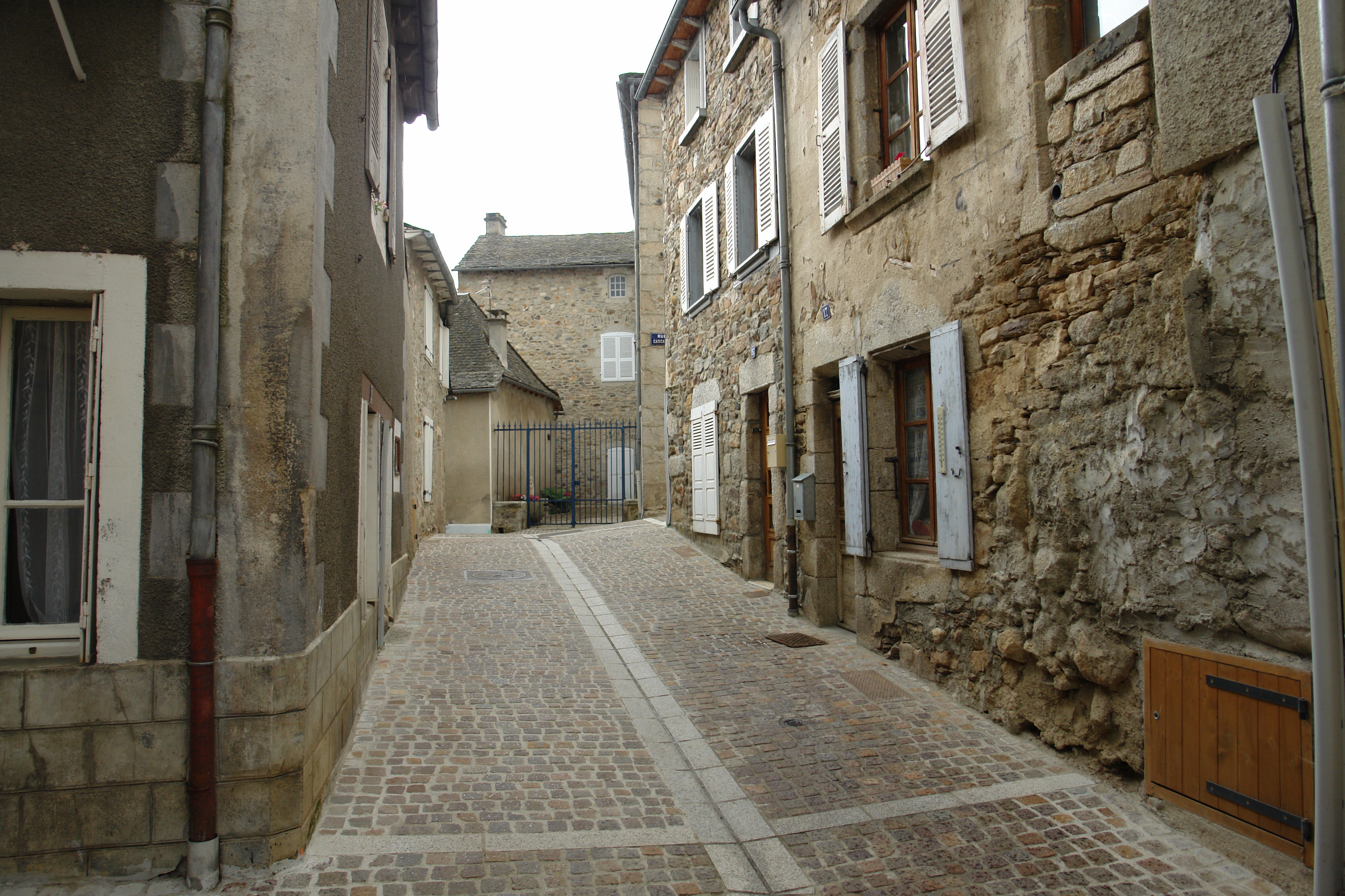
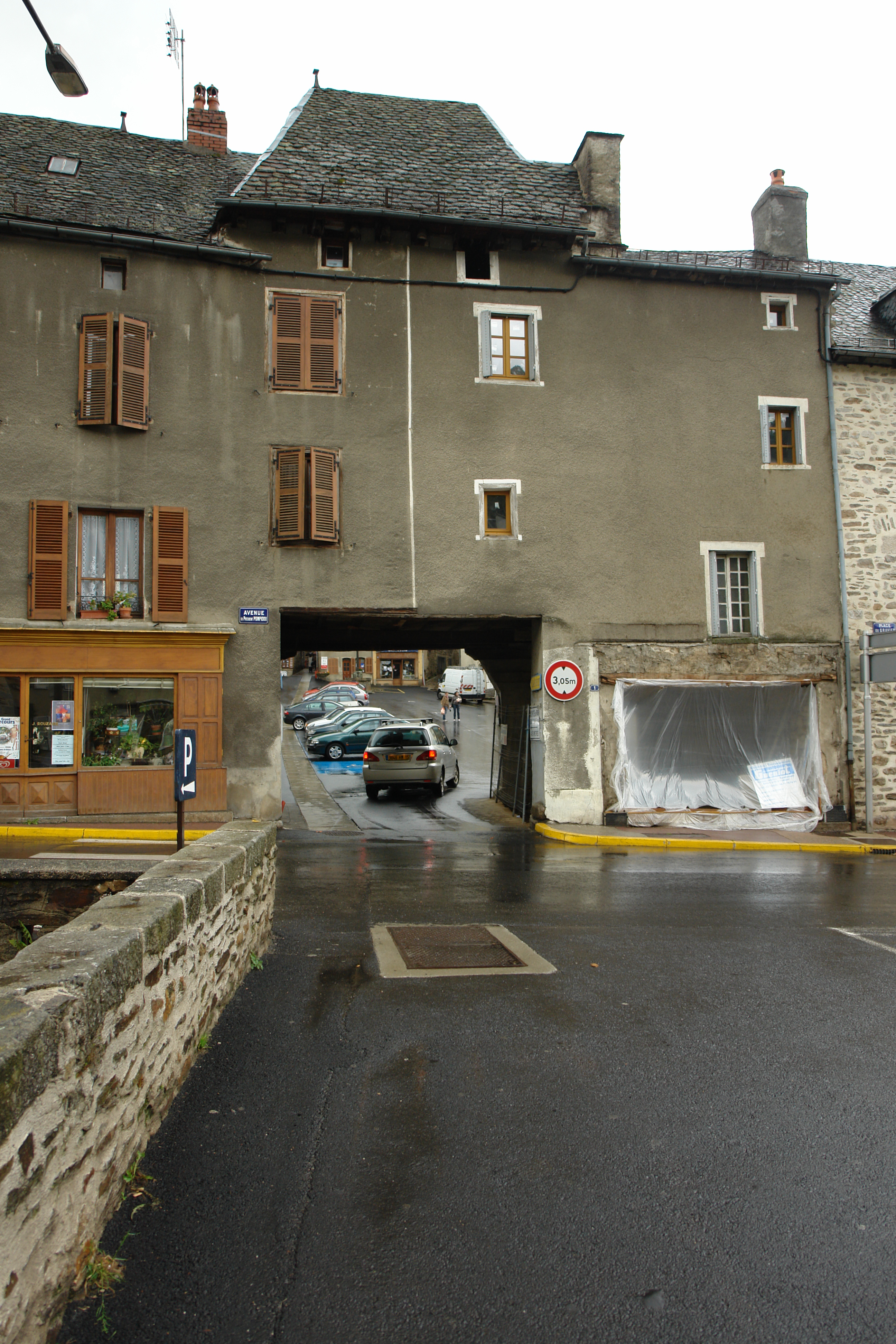
VII.2011 — Avenue du Président-Pompidou

[Interlude] Lieu de Passage

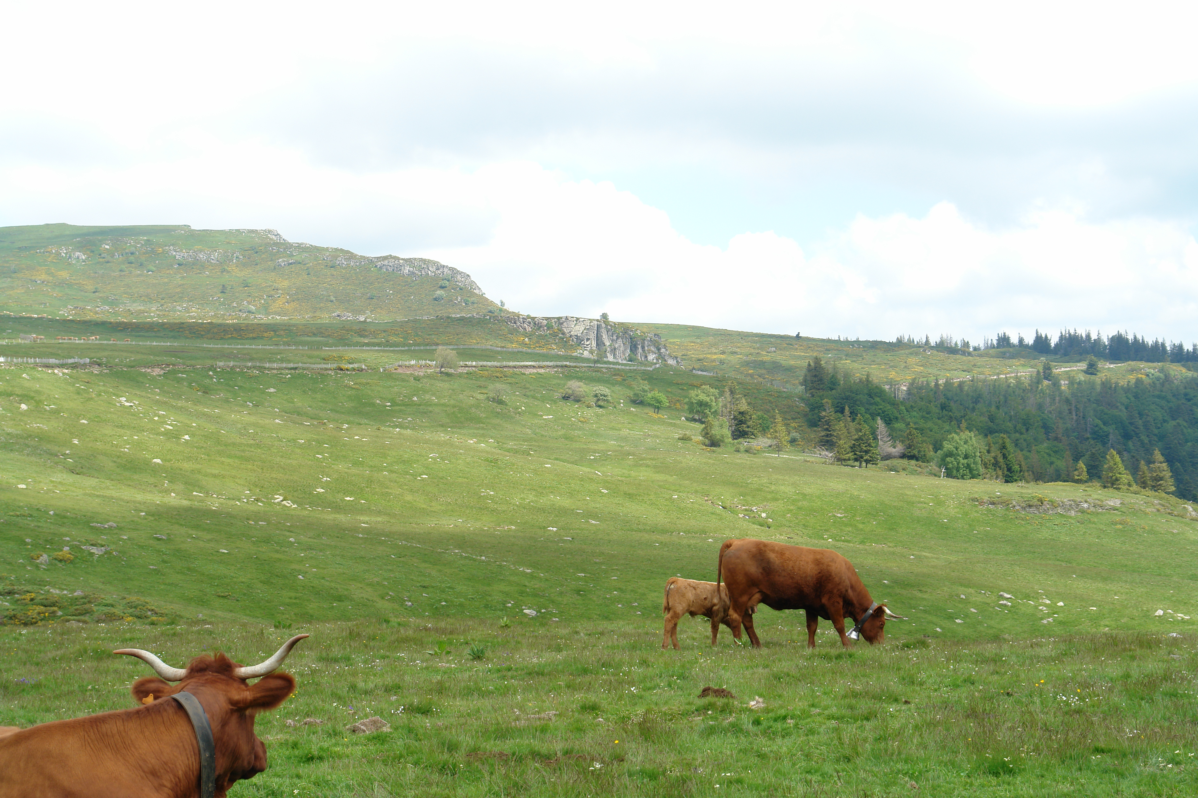
Chevaux en Auvergne 2001-06
DSC08367.JPG
DSC08372.JPG

Chevaux en Cantal 2001-06
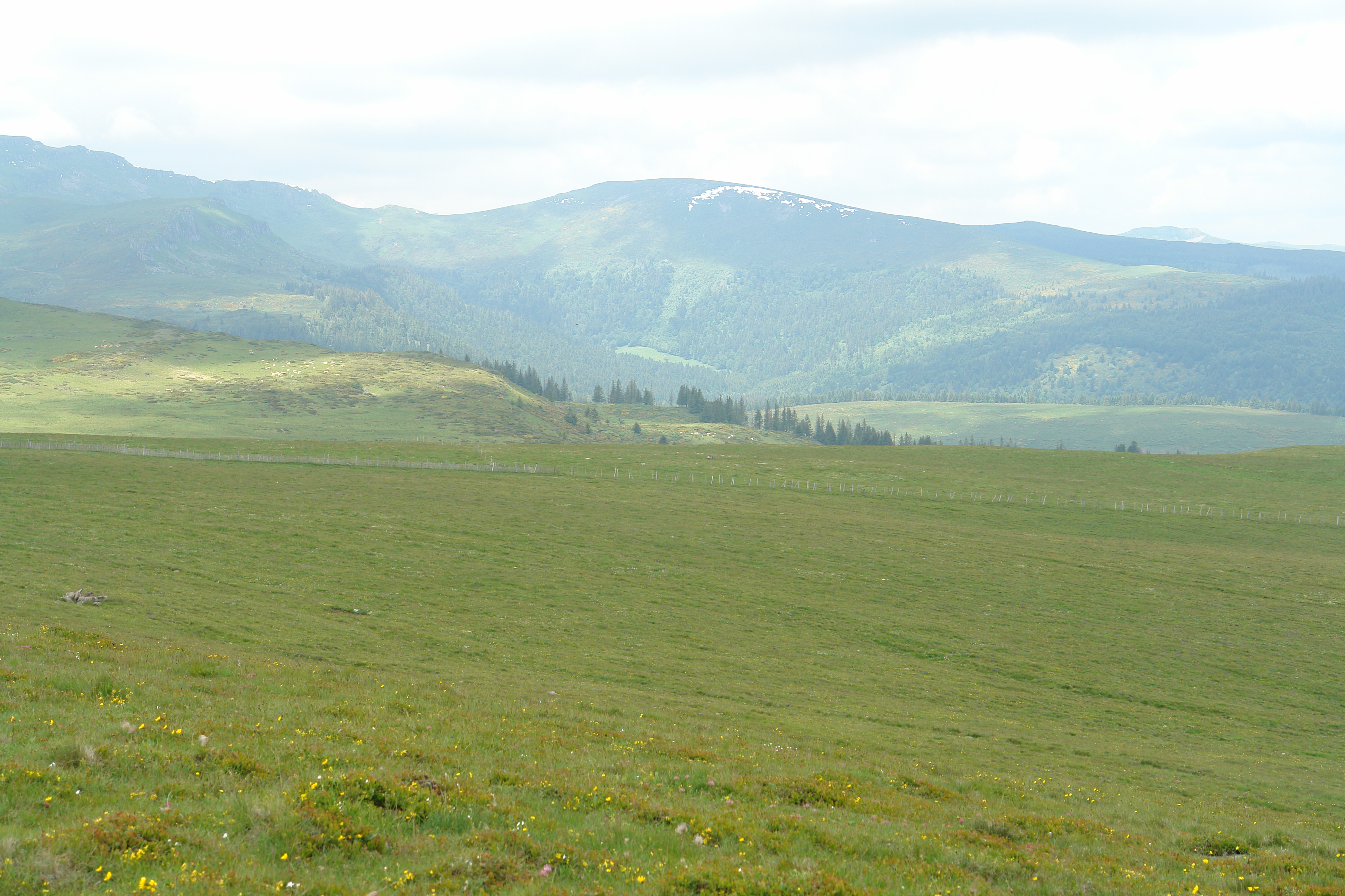
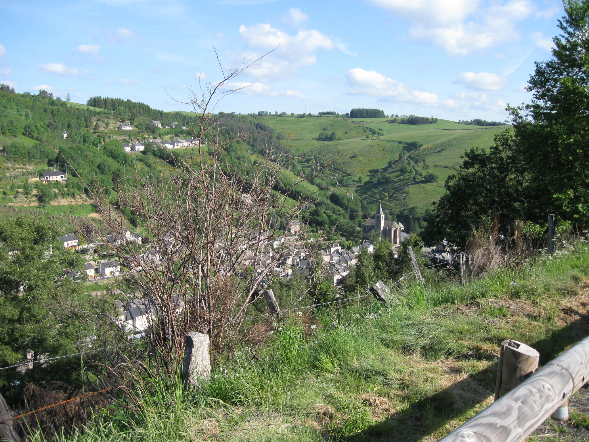
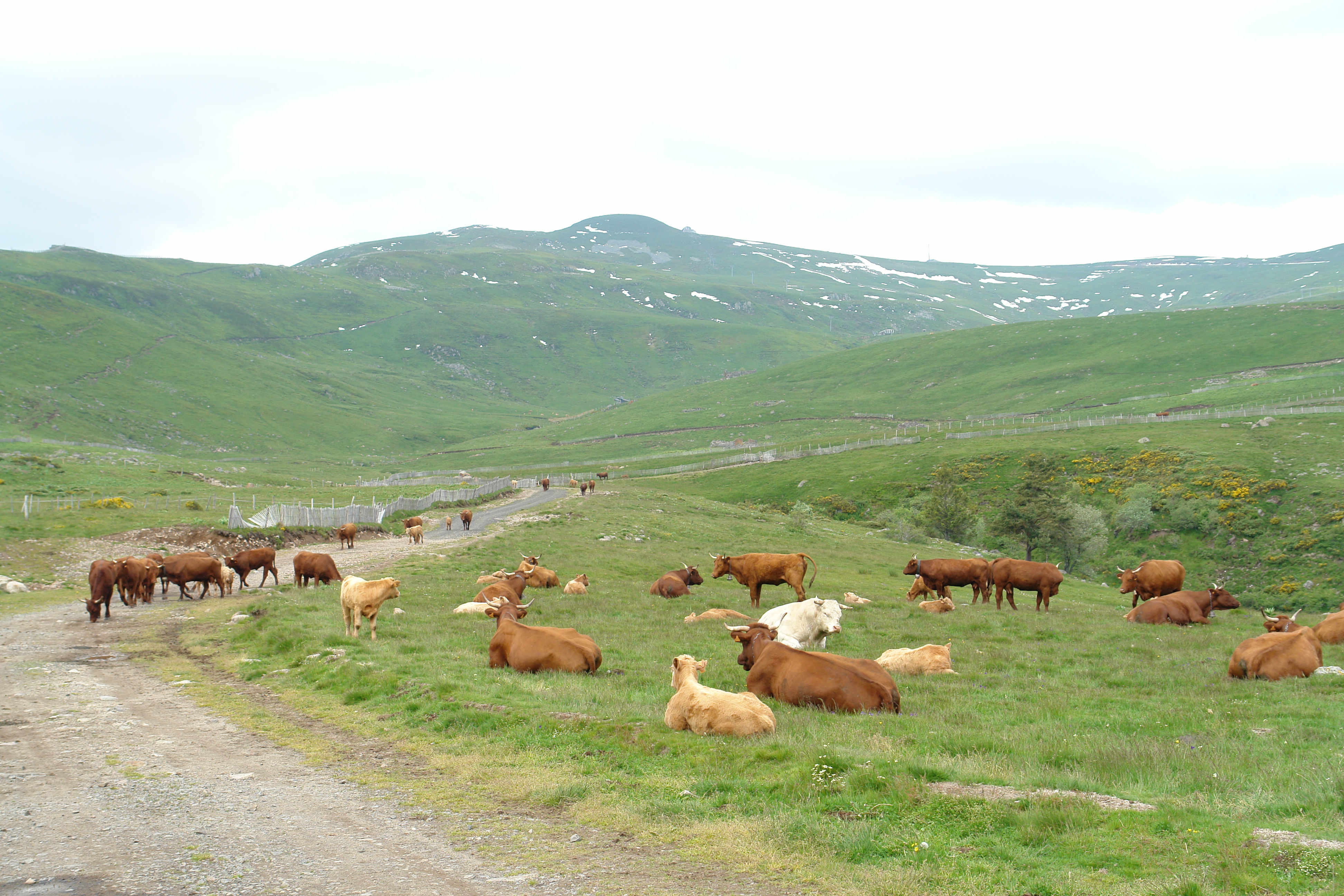
View from the Planeze
DSC08362.JPG

DSC08361.JPG
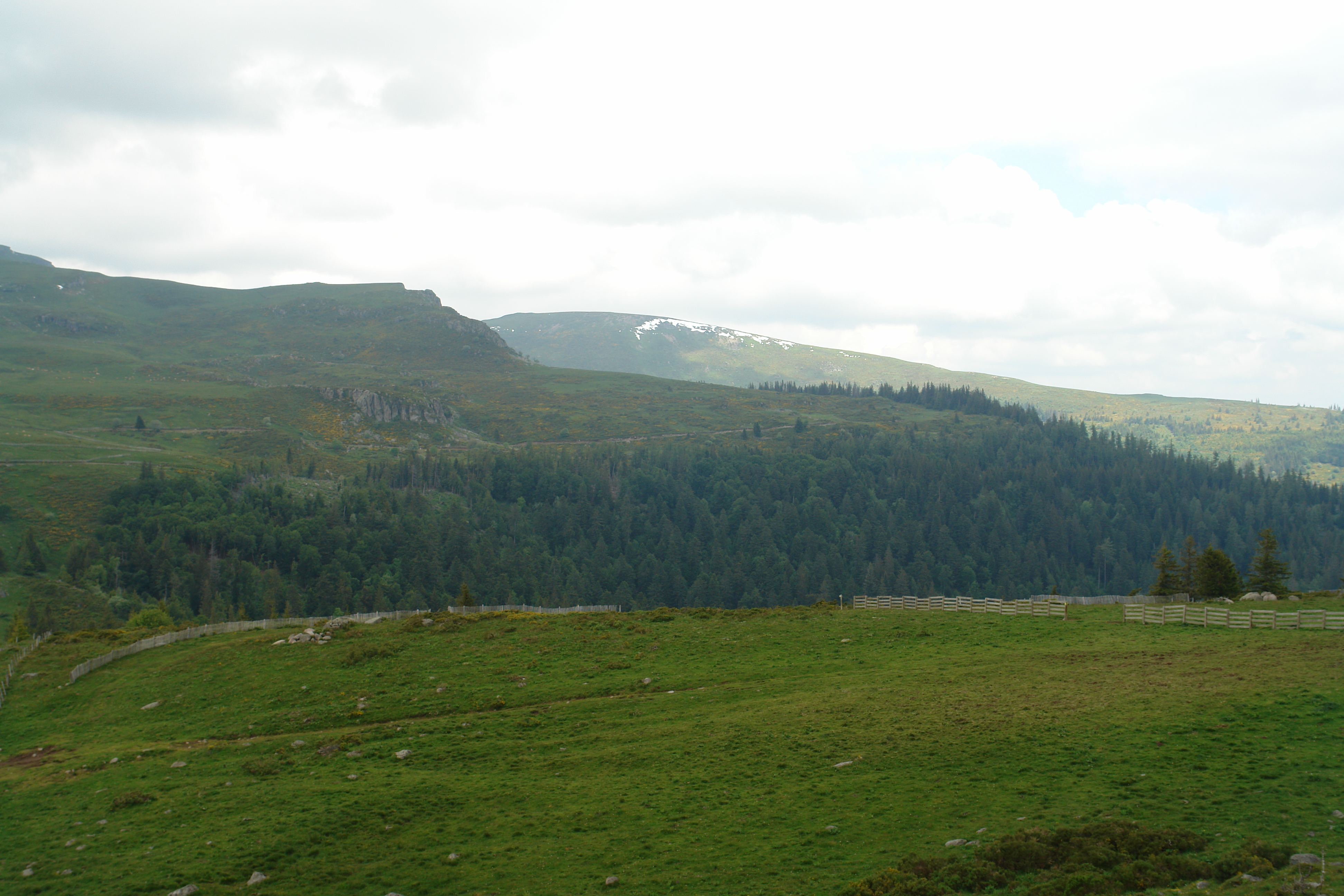
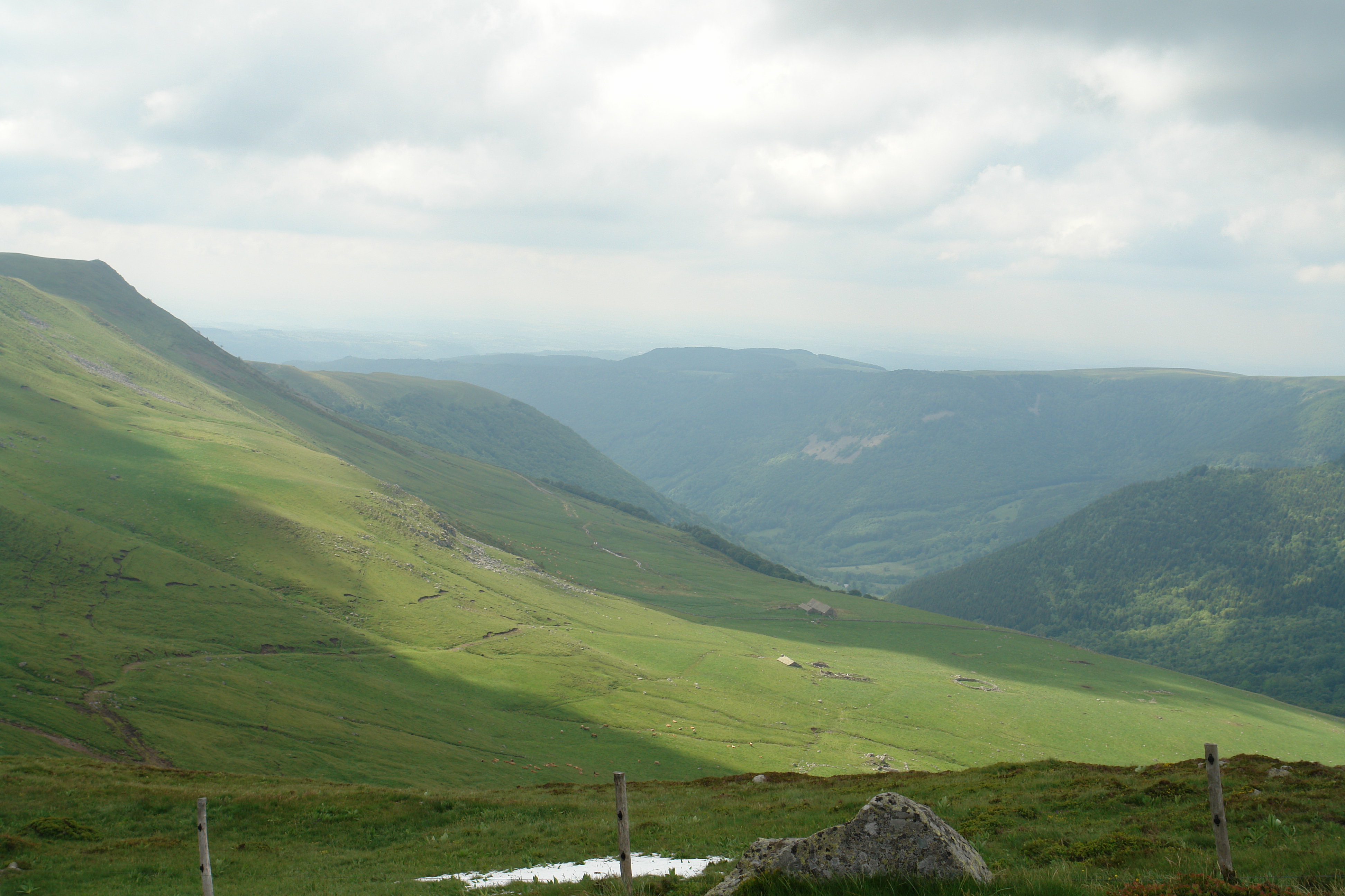
View from above the Col de Prat de Bouc
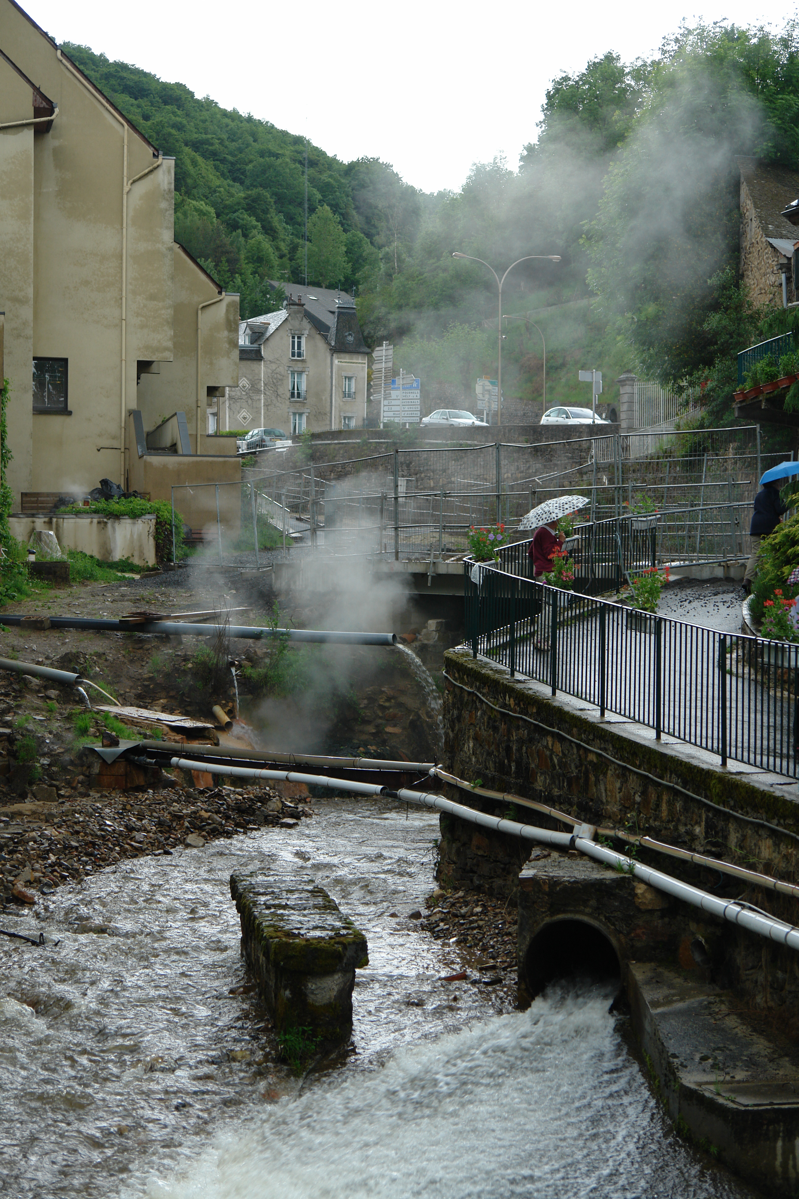
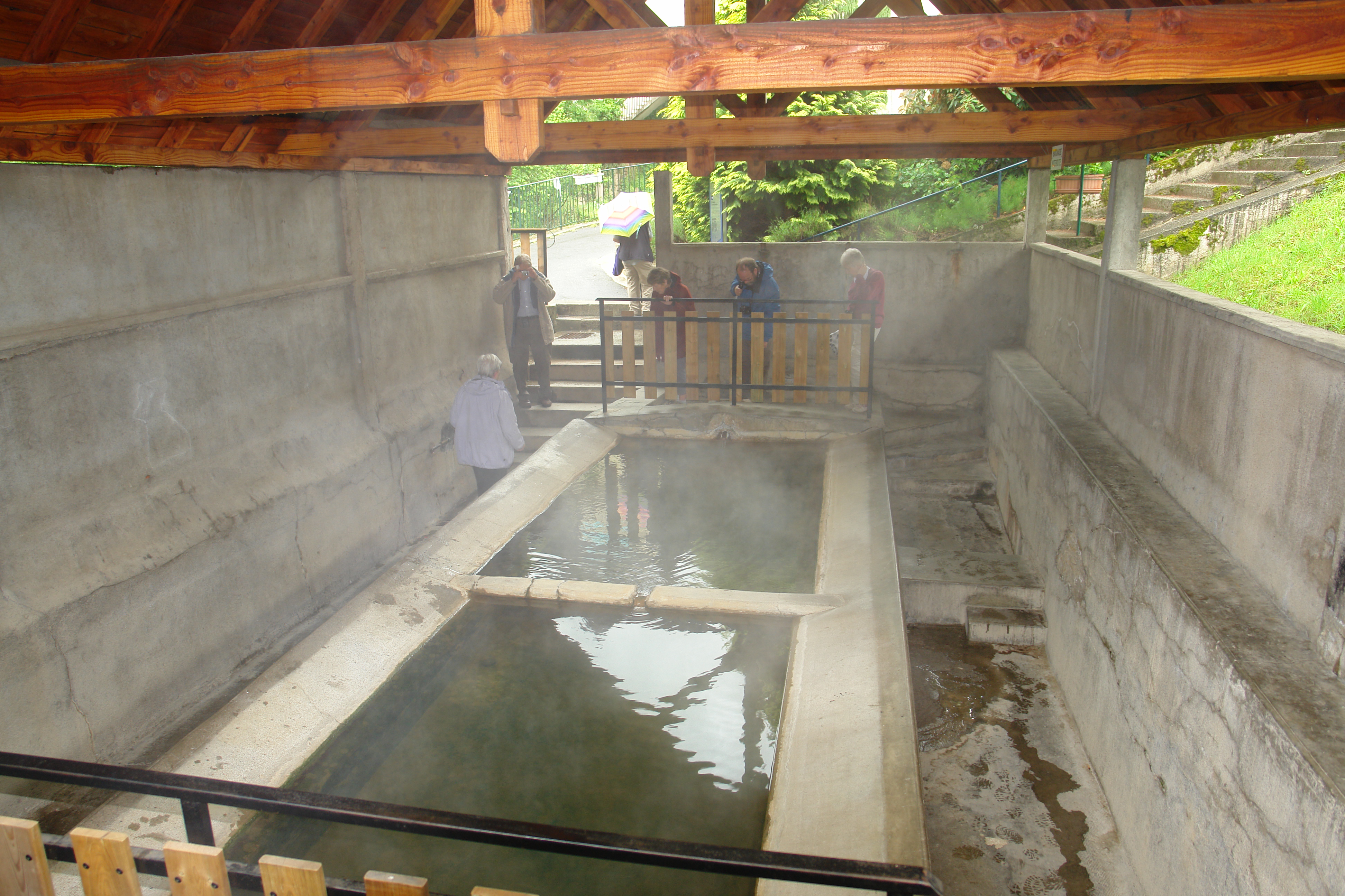
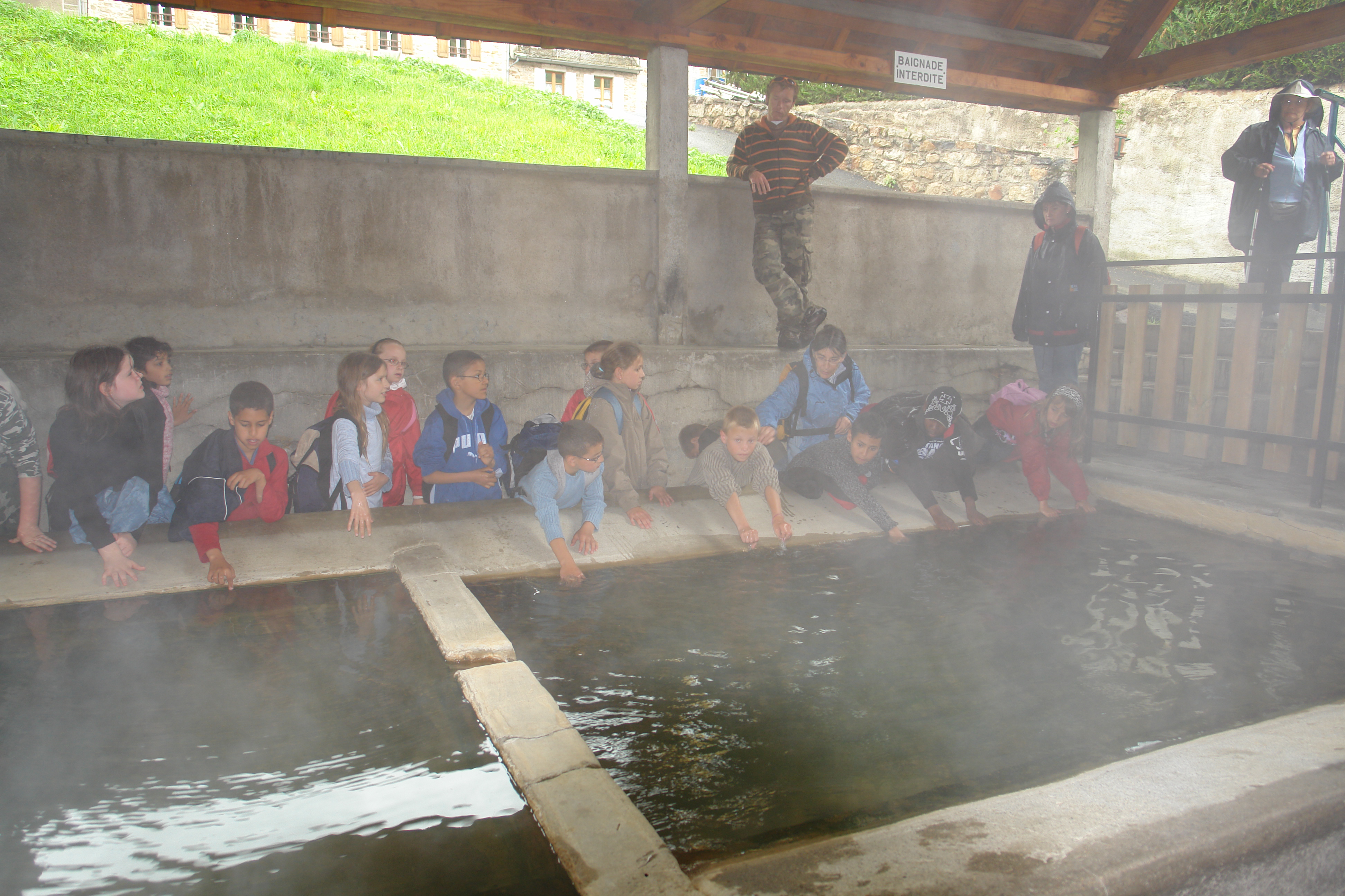
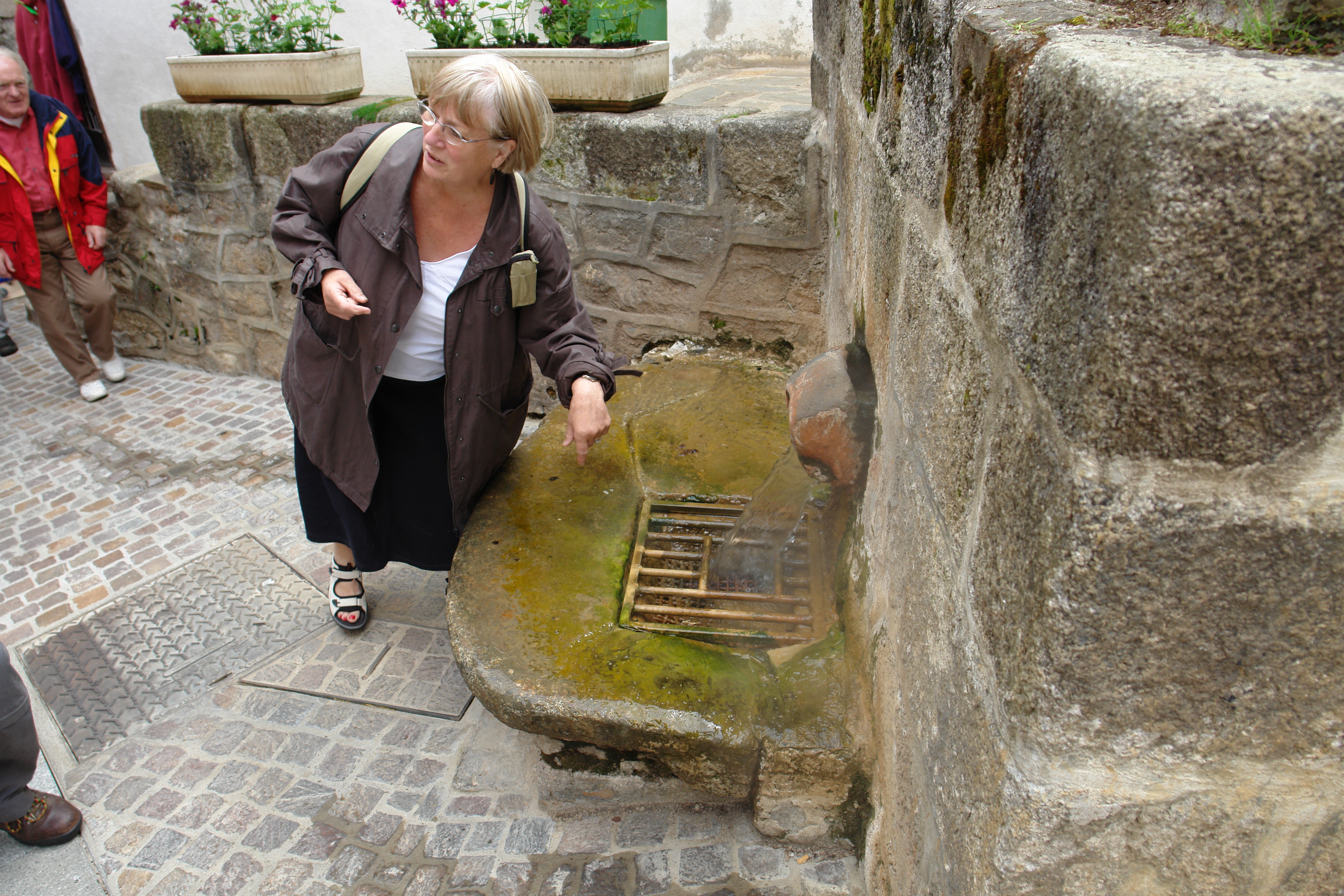
France - Chaud Aigues
DSC08365.JPG
DSC08374.JPG
DSC08364.JPG
DSC08368.JPG
Looking down on Chaudes-Aigues
DSC08373.JPG
DSC08371.JPG
DSC08363.JPG
DSC08366.JPG
DSC08370.JPG
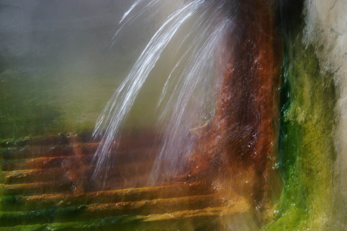
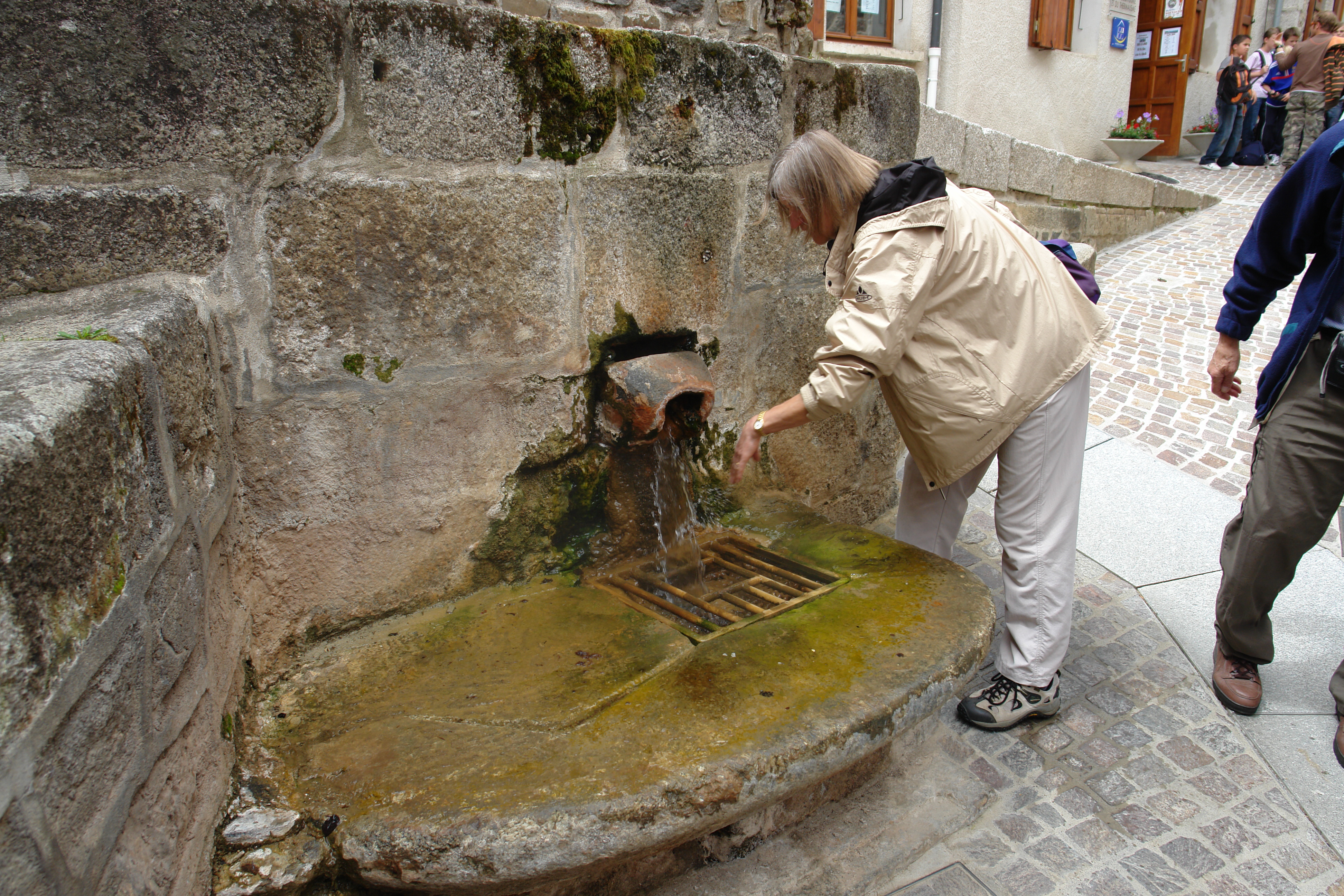
Eau chaude
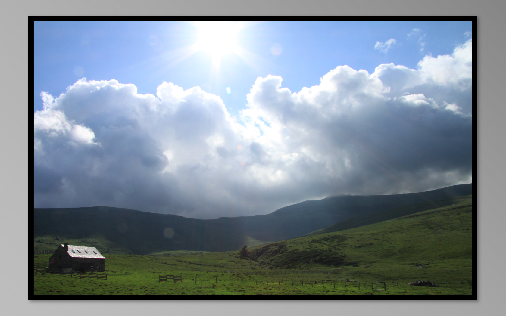
buron de prat de bouc
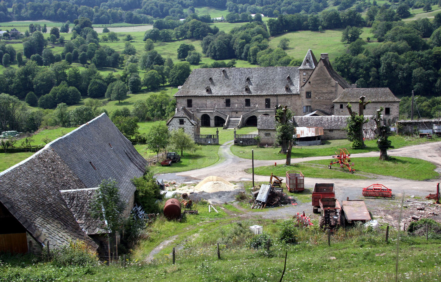
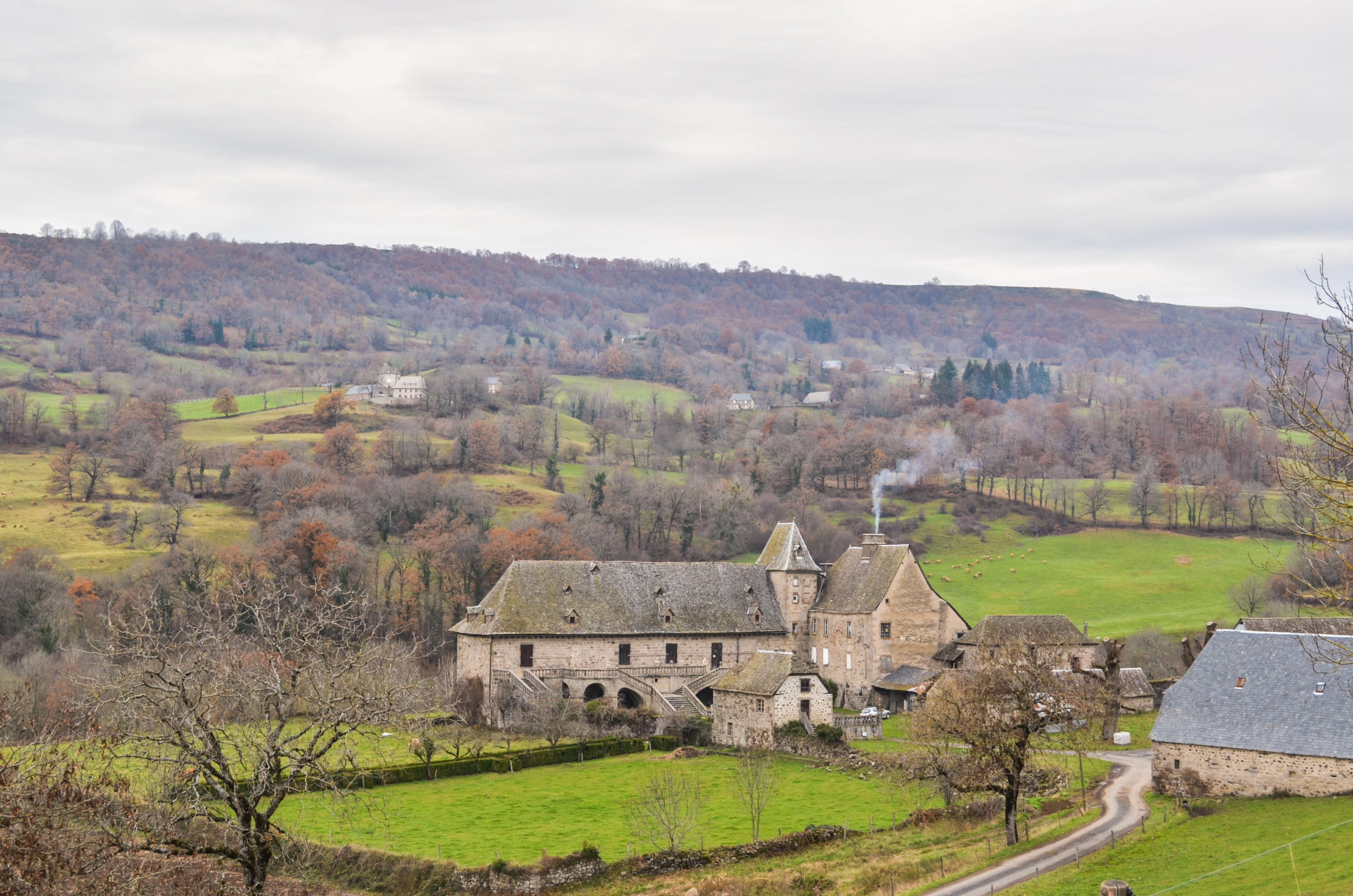
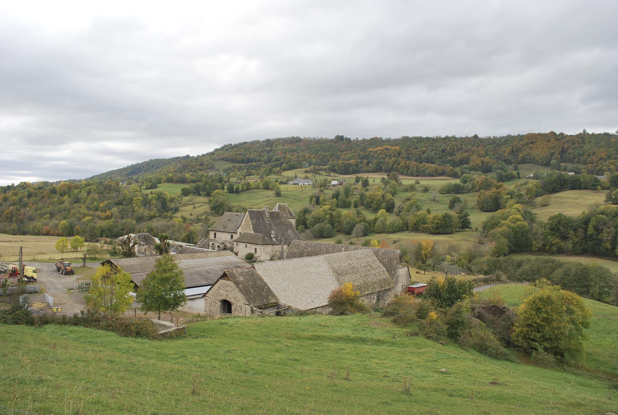
Le château de Cropières
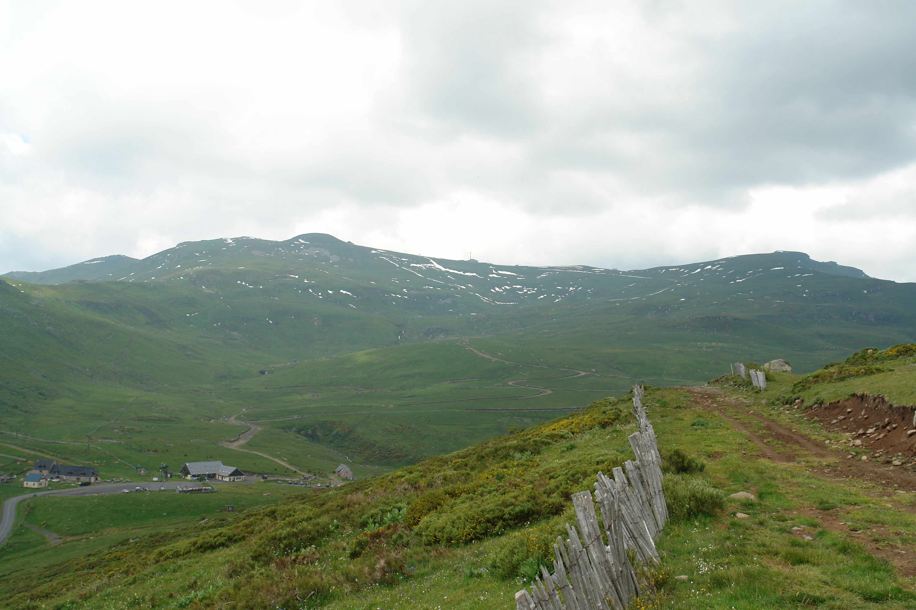
Looking back at the Plomb du Cantal and the Col de Prat de Bouc
On the eastern slopes of the Plomb du Cantal
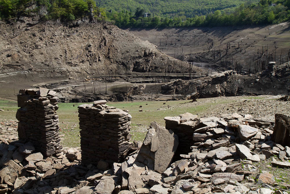
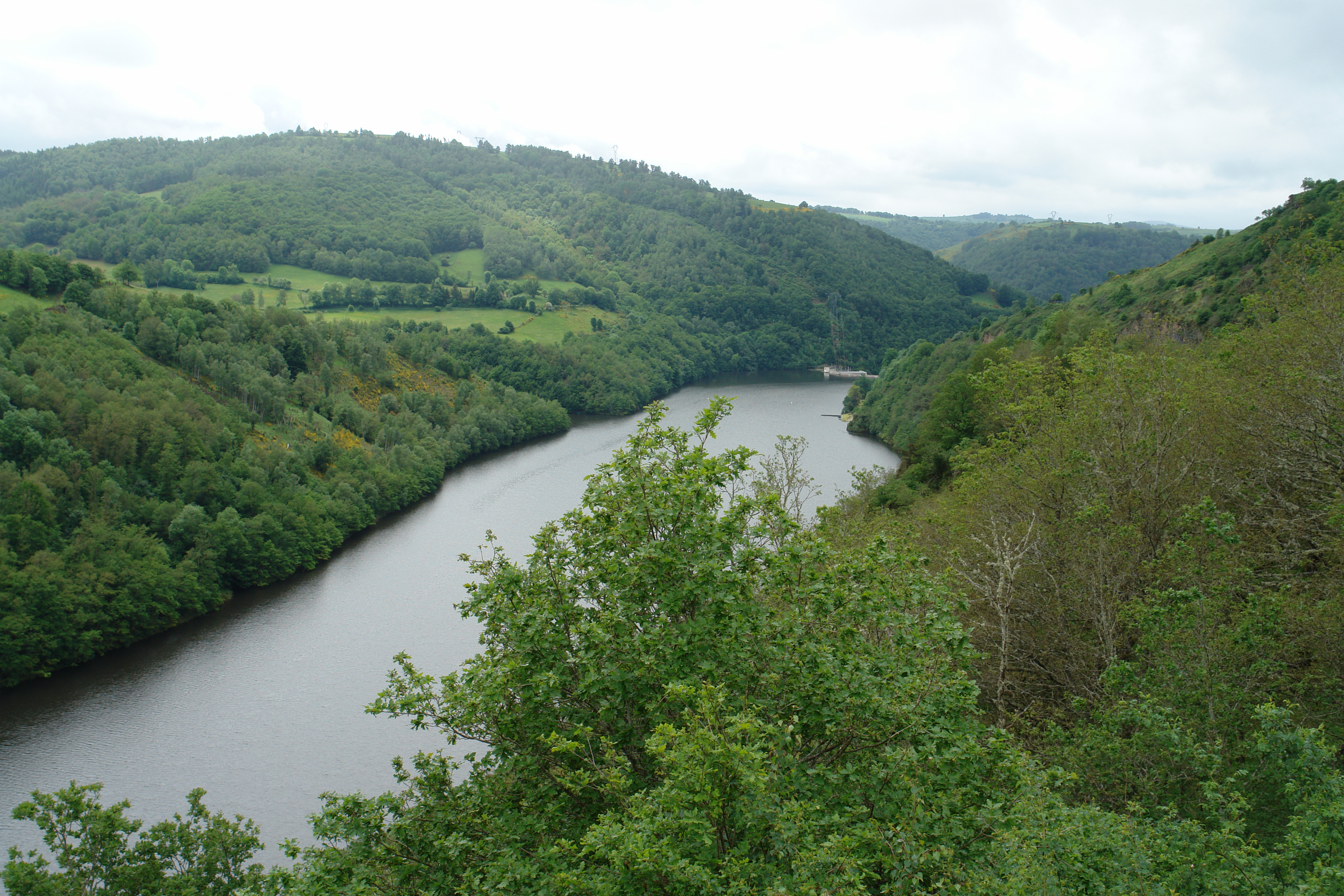
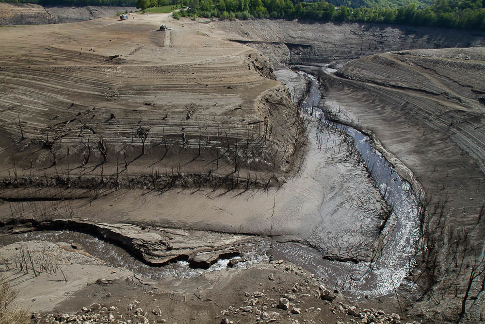
Barrage de Sarrans

Fête de la Moisson Orcières Neuvéglise Cantal 2014-07
20121123-DSC_2014
Barrage de Sarrans
Vue du Roc du Chila
ITINERAIRE 15-20111024-064
At the Col de Prat de Bouc

Cantal 2014-07
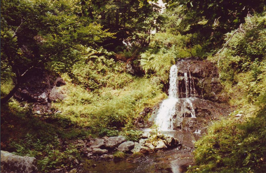
cascade siniq
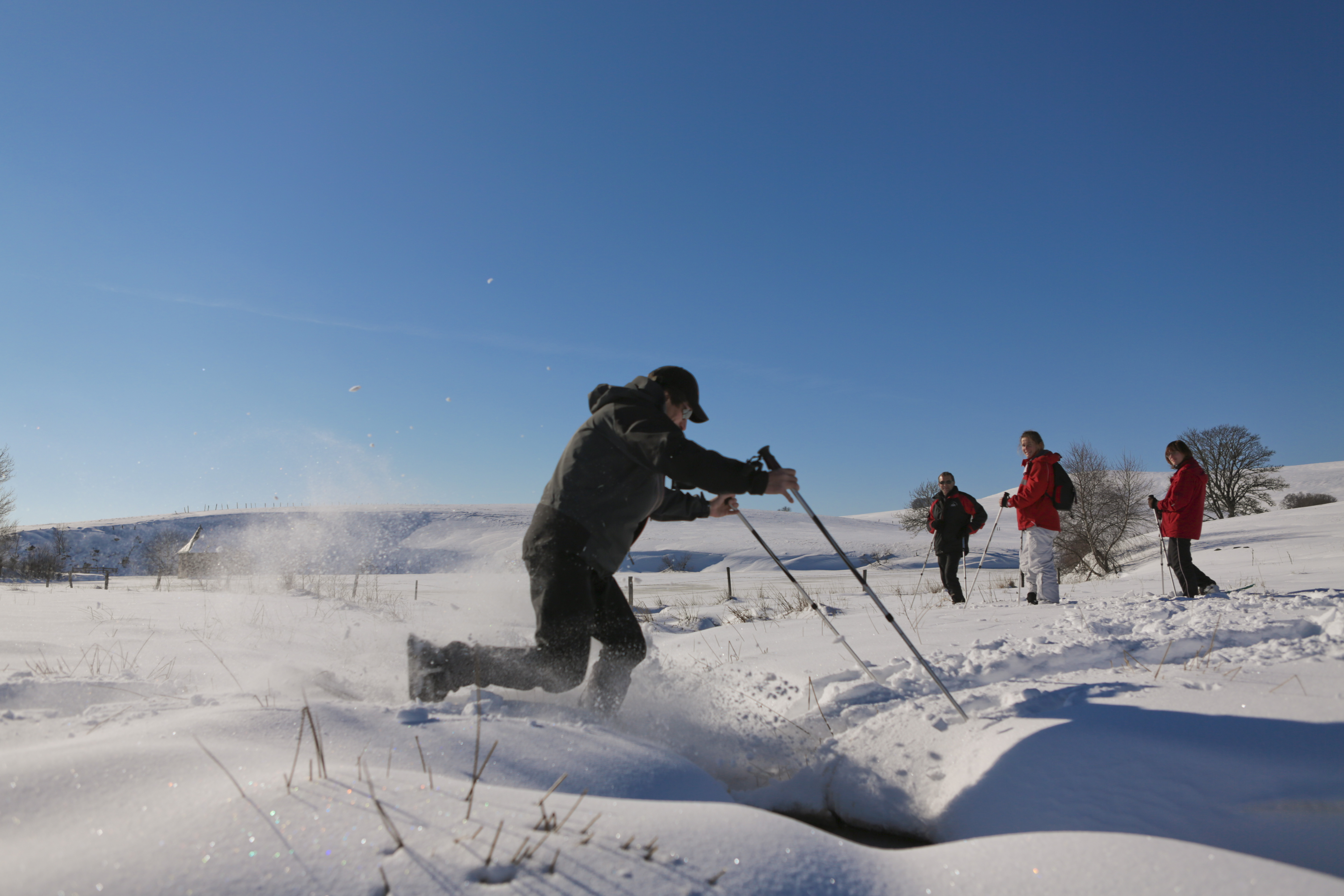
Raquettes à neige au Col de Prat de Bouc
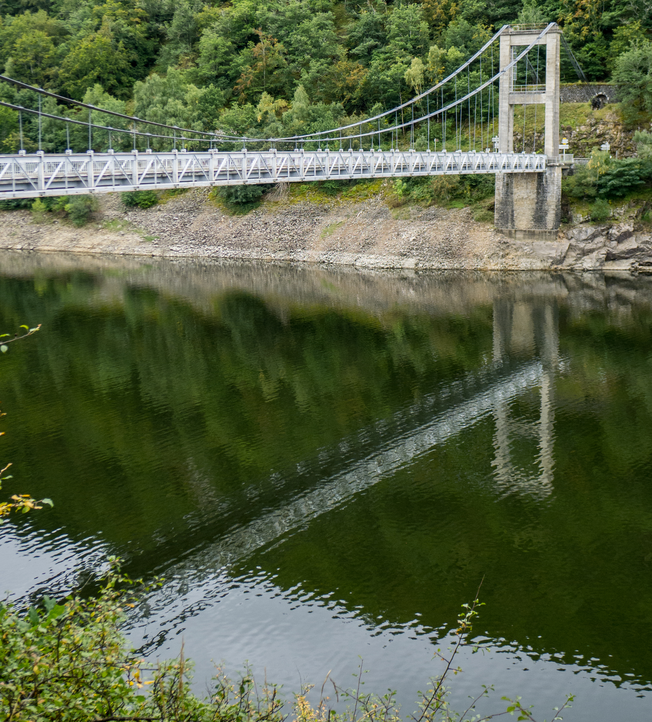
Pont de Tréboul (Cantal, France)

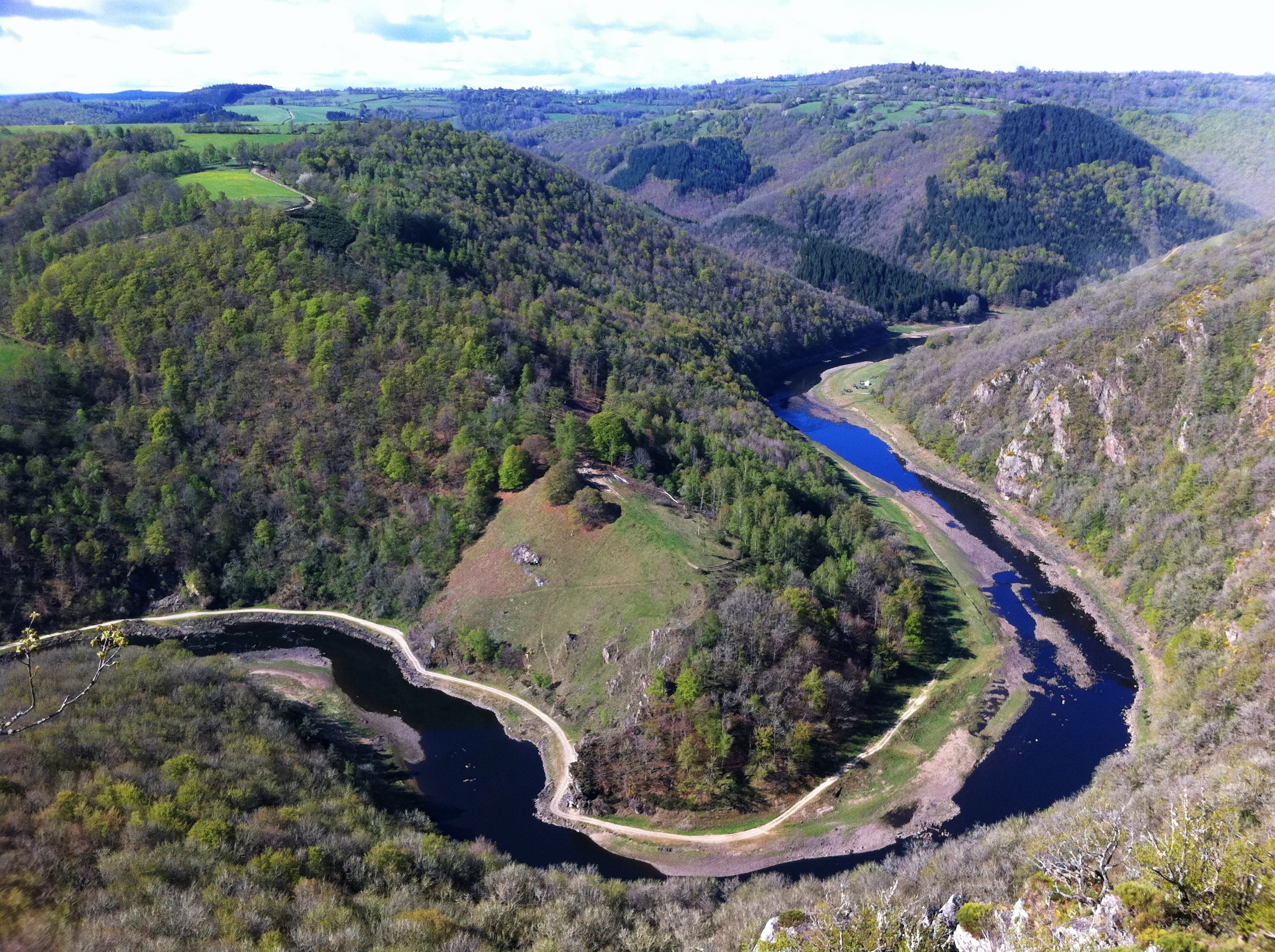
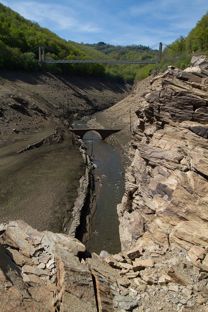
Gorges de la Truyère
At the Col de Prat de Bouc
Barrage de Sarrans
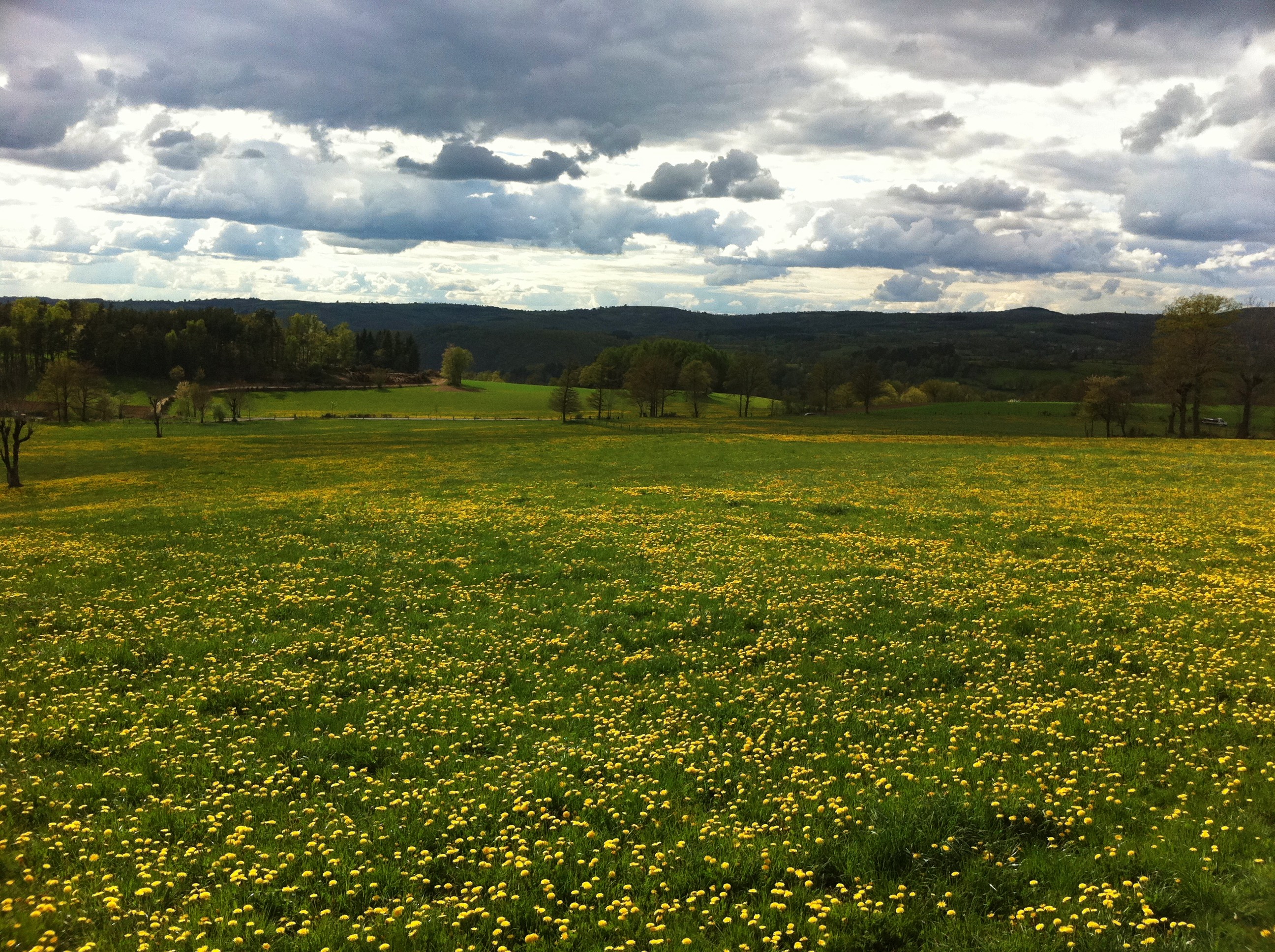
Champs de Pissenlits
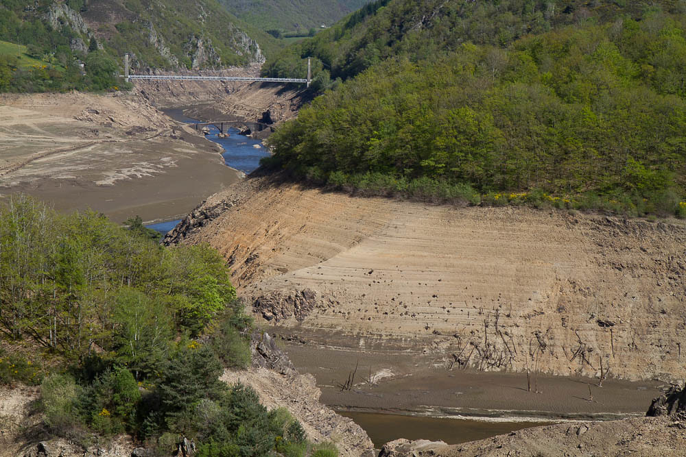
Barrage de Sarrans
Topographic Map of Pierrefort, France
Find elevation by address:

Places in Pierrefort, France:
Places near Pierrefort, France:
21bis
Villedieu
D, Villedieu, France
Faverolles
1 Rue de la Cabale, Faverolles, France
D19, Prades-d'Aubrac, France
Prades-d'aubrac
Aumont-aubrac
Communauté De Communes La Terre De Peyre
Col Des Issartets
Le Buisson
Le Bouchet, Aumont-Aubrac, France
Les Courses, Saint-Alban-sur-Limagnole, France
Saint-alban-sur-limagnole
5 Chemin Jean Fontugne, Marvejols, France
Marvejols
Saint-bonnet-de-chirac
Saint-pierre Ruines
Connes, Salles-Curan, France
Verrières
Recent Searches:
- Elevation of Groblershoop, South Africa
- Elevation of Power Generation Enterprises | Industrial Diesel Generators, Oak Ave, Canyon Country, CA, USA
- Elevation of Chesaw Rd, Oroville, WA, USA
- Elevation of N, Mt Pleasant, UT, USA
- Elevation of 6 Rue Jules Ferry, Beausoleil, France
- Elevation of Sattva Horizon, 4JC6+G9P, Vinayak Nagar, Kattigenahalli, Bengaluru, Karnataka, India
- Elevation of Great Brook Sports, Gold Star Hwy, Groton, CT, USA
- Elevation of 10 Mountain Laurels Dr, Nashua, NH, USA
- Elevation of 16 Gilboa Ln, Nashua, NH, USA
- Elevation of Laurel Rd, Townsend, TN, USA