Elevation of Pictou, Subd. C, NS, Canada
Location: Canada > Nova Scotia > Pictou County >
Longitude: -62.443884
Latitude: 45.5237949
Elevation: 233m / 764feet
Barometric Pressure: 99KPa
Elevation Map:
Satellite Map:
Related Photos:

Blue and Green

Winter Beach

Brookville Barn

MacLellan's Mountain

Red Door

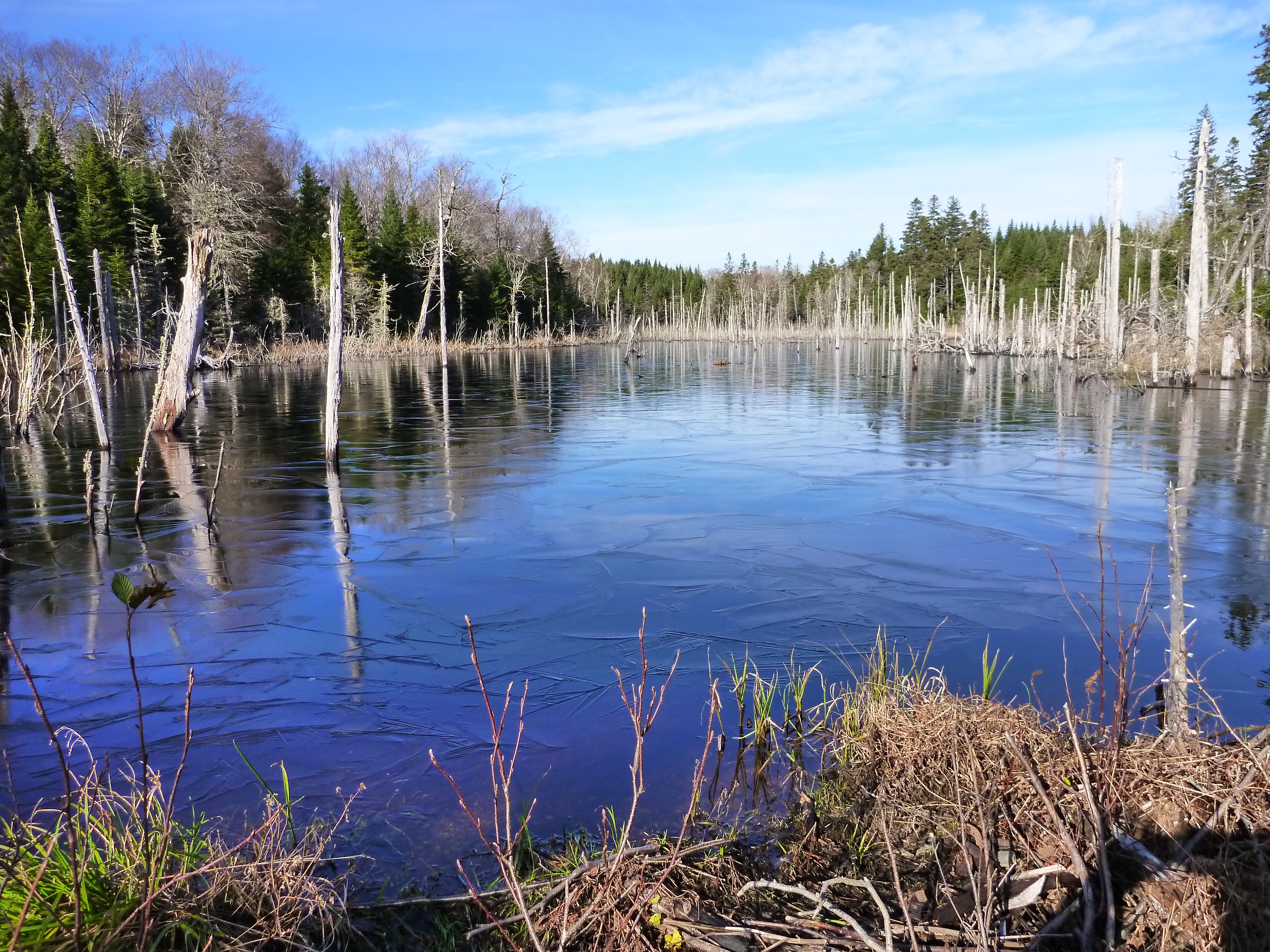
Beaver Pond

Beavers Have a Project

Snowy Trail

Brookside Trail

Beaver Handiwork

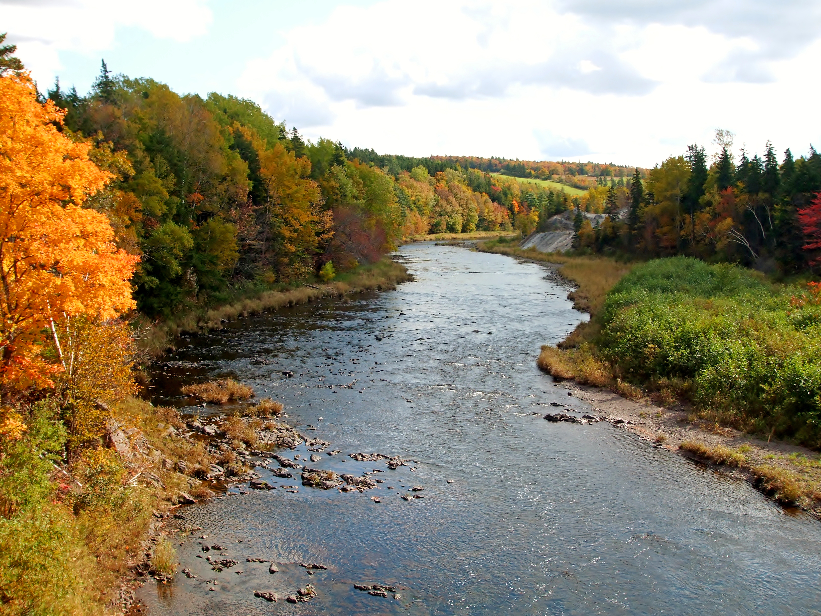
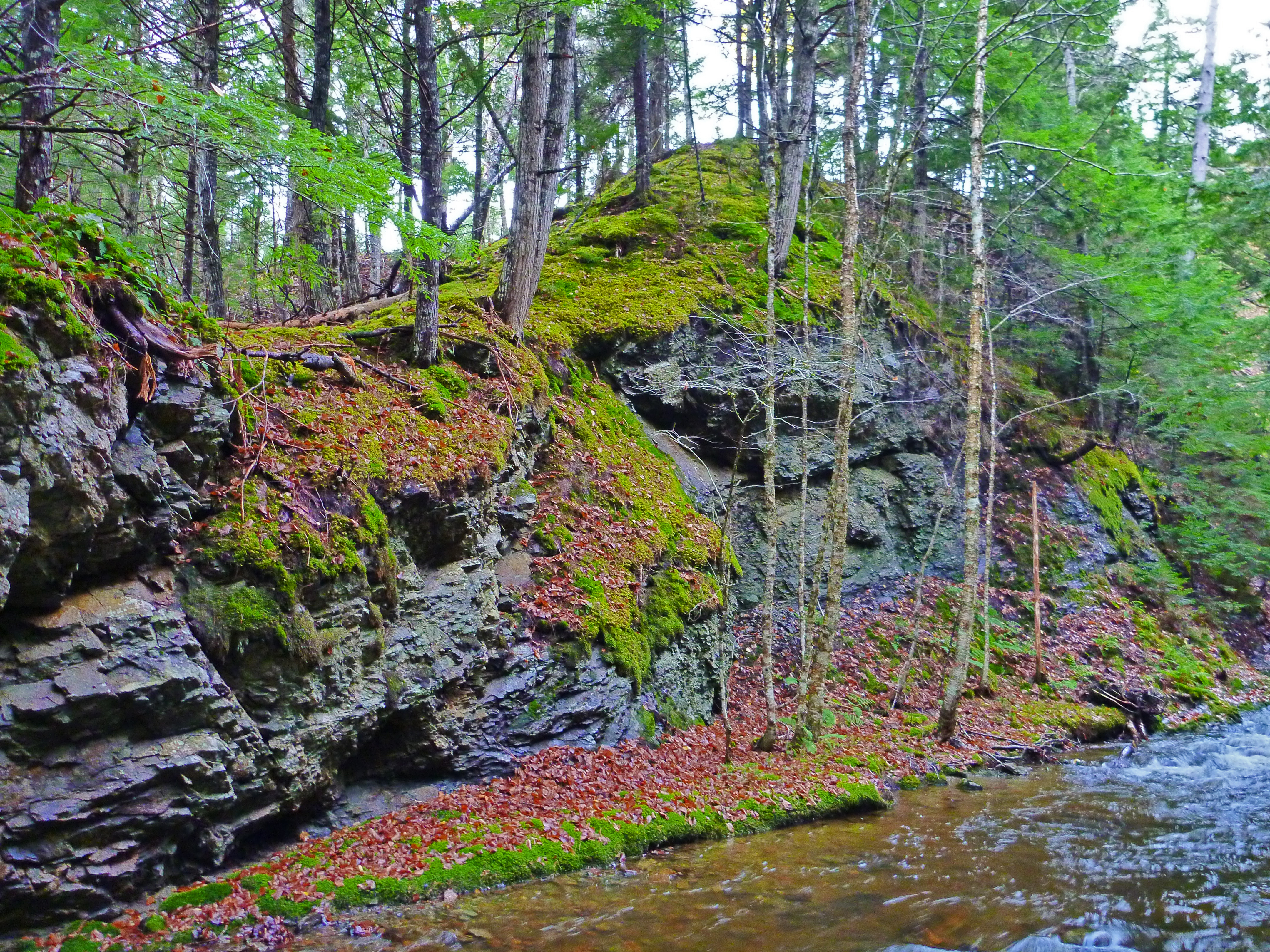
Trail and River

You Are Here

Dream Walk
Big Island - Coast to Coast Album

Fall Brook Fall
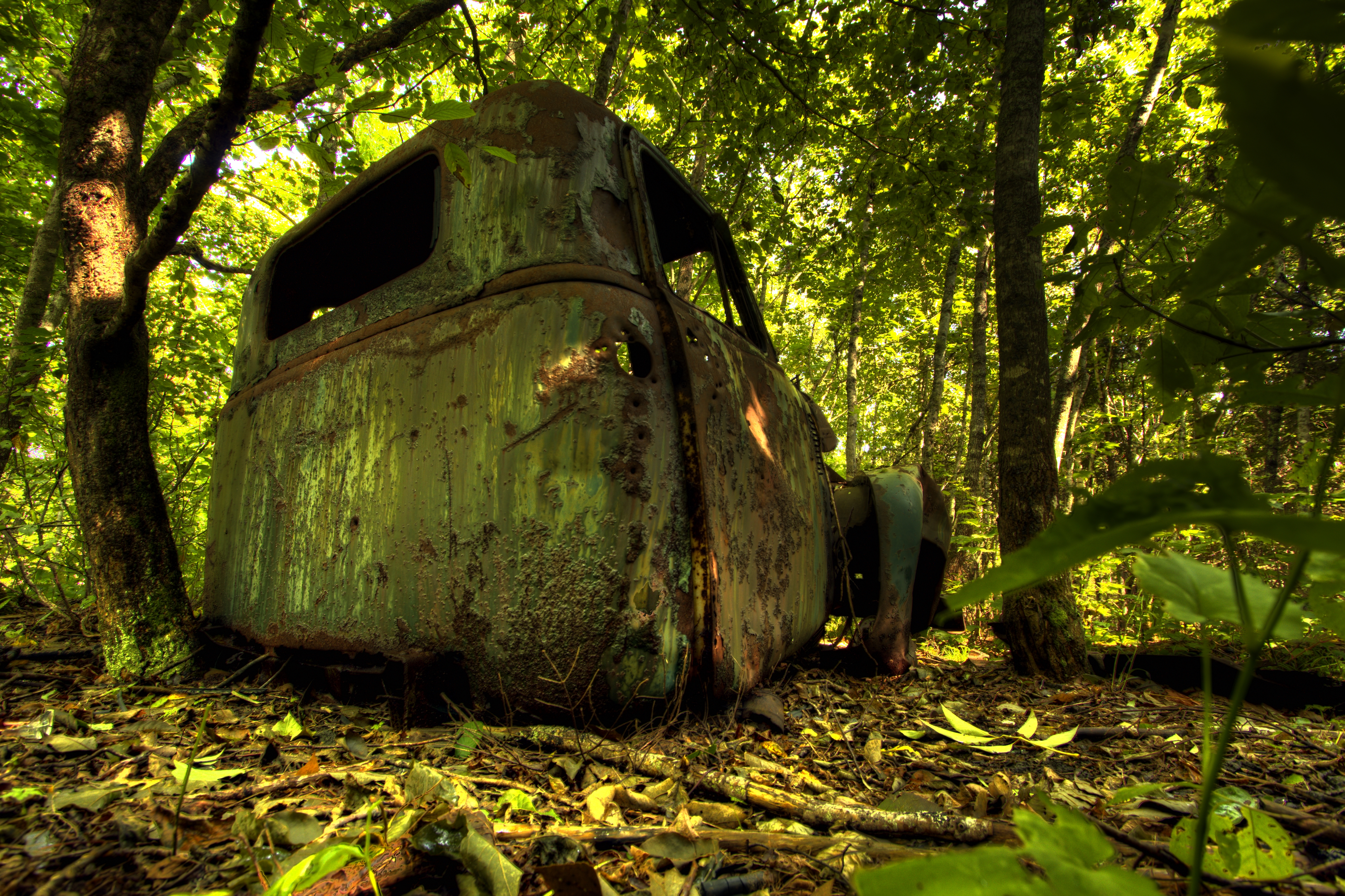
Overgrown Chevy

Nova Scotia love

On the Road to Quarry Island
Park Falls, NS
MacLellan's Mountian Pond

Melmerby Beach
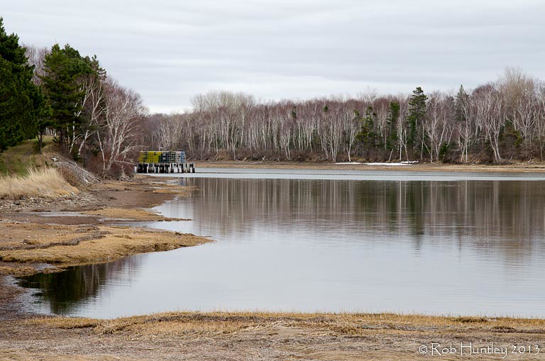
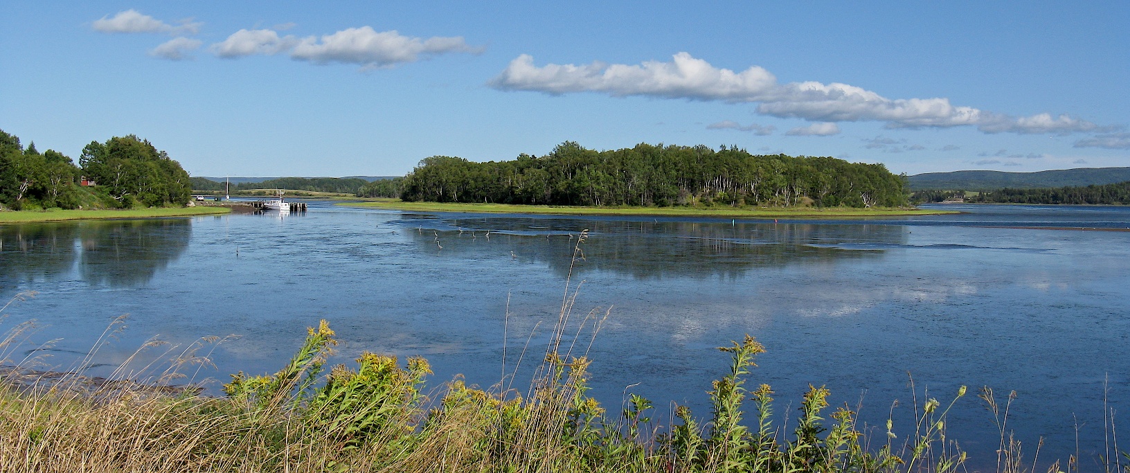
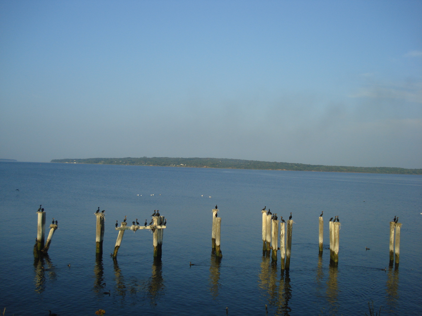
Wharf at Big Island, Nova Scotia
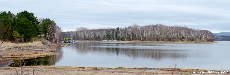
Wharf at Big Island, Nova Scotia
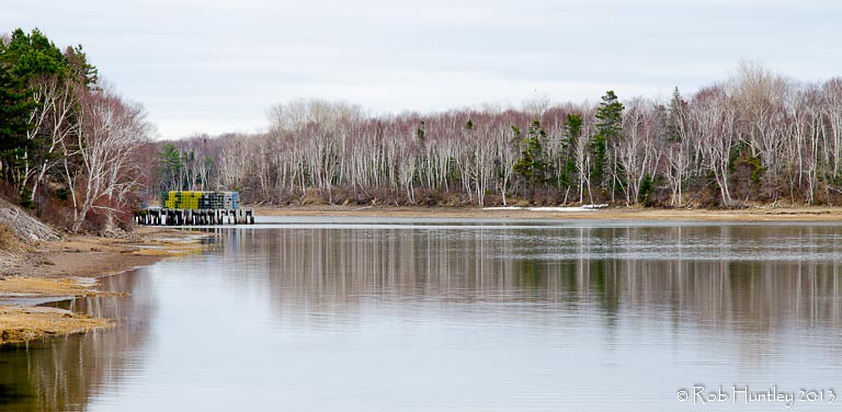
Wharf at Big Island, Nova Scotia

Moonlit Melmerby and Belt of Venus
On the way to Pictou, Nova Scotia
Middle East River
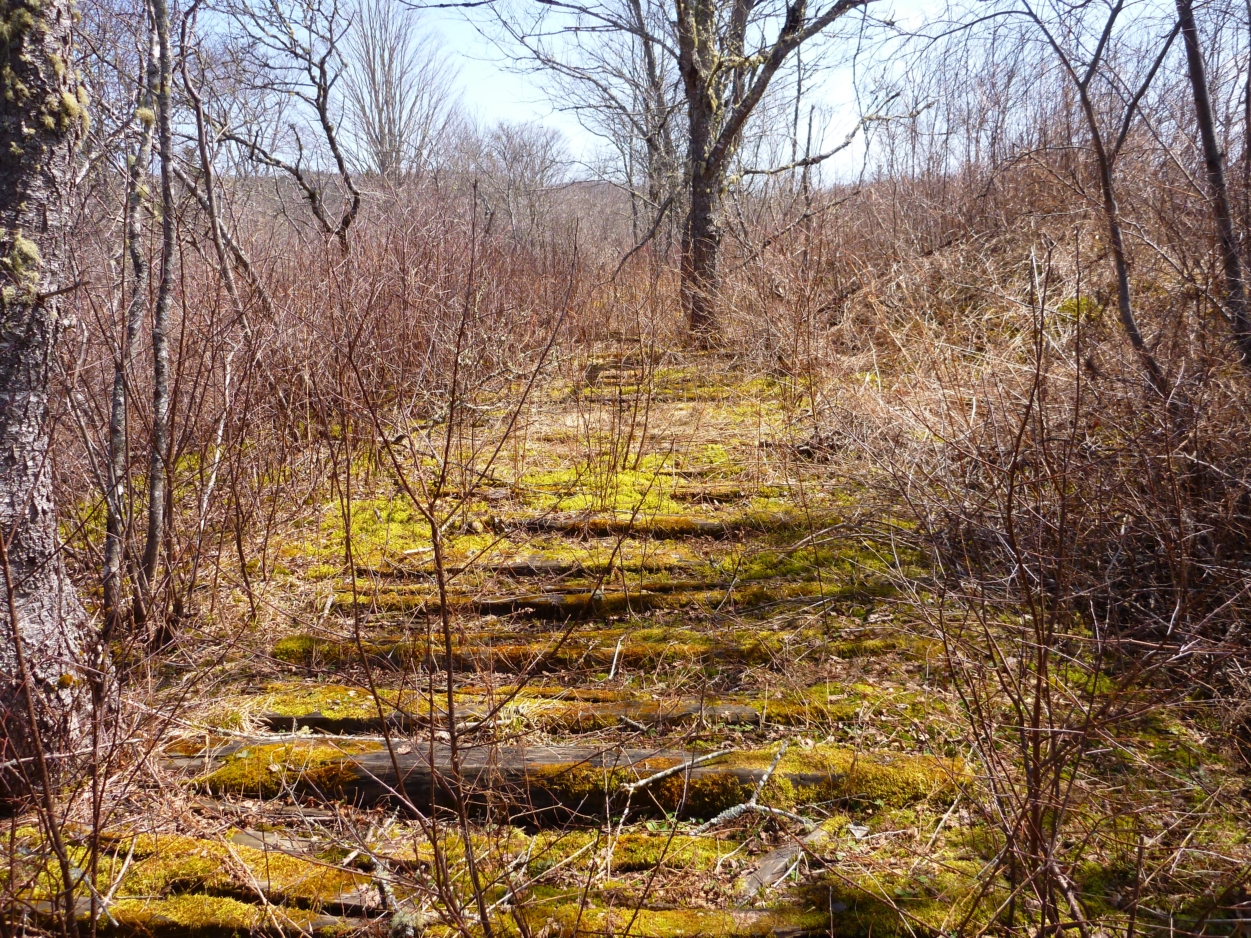
Old railway tracks
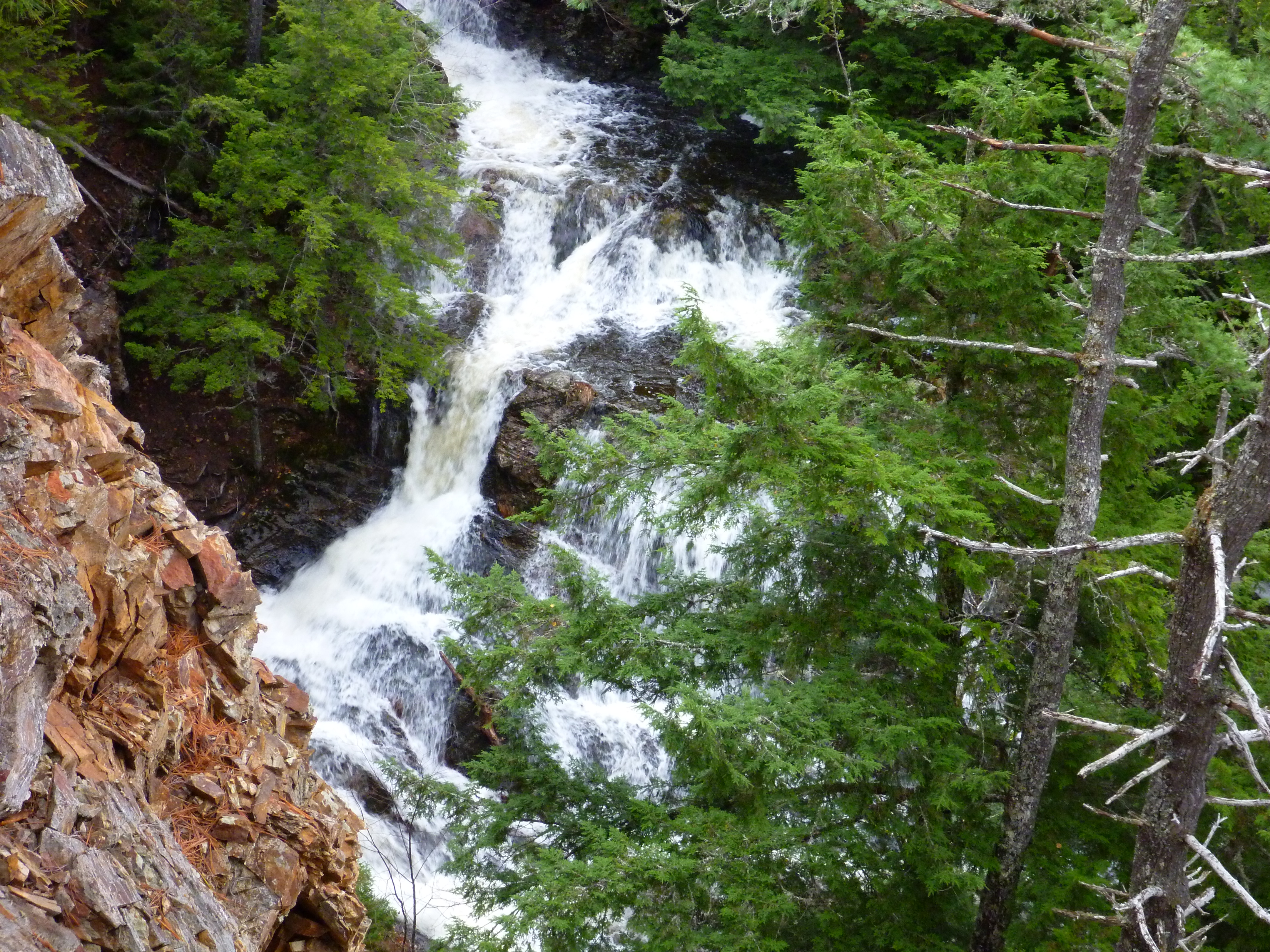
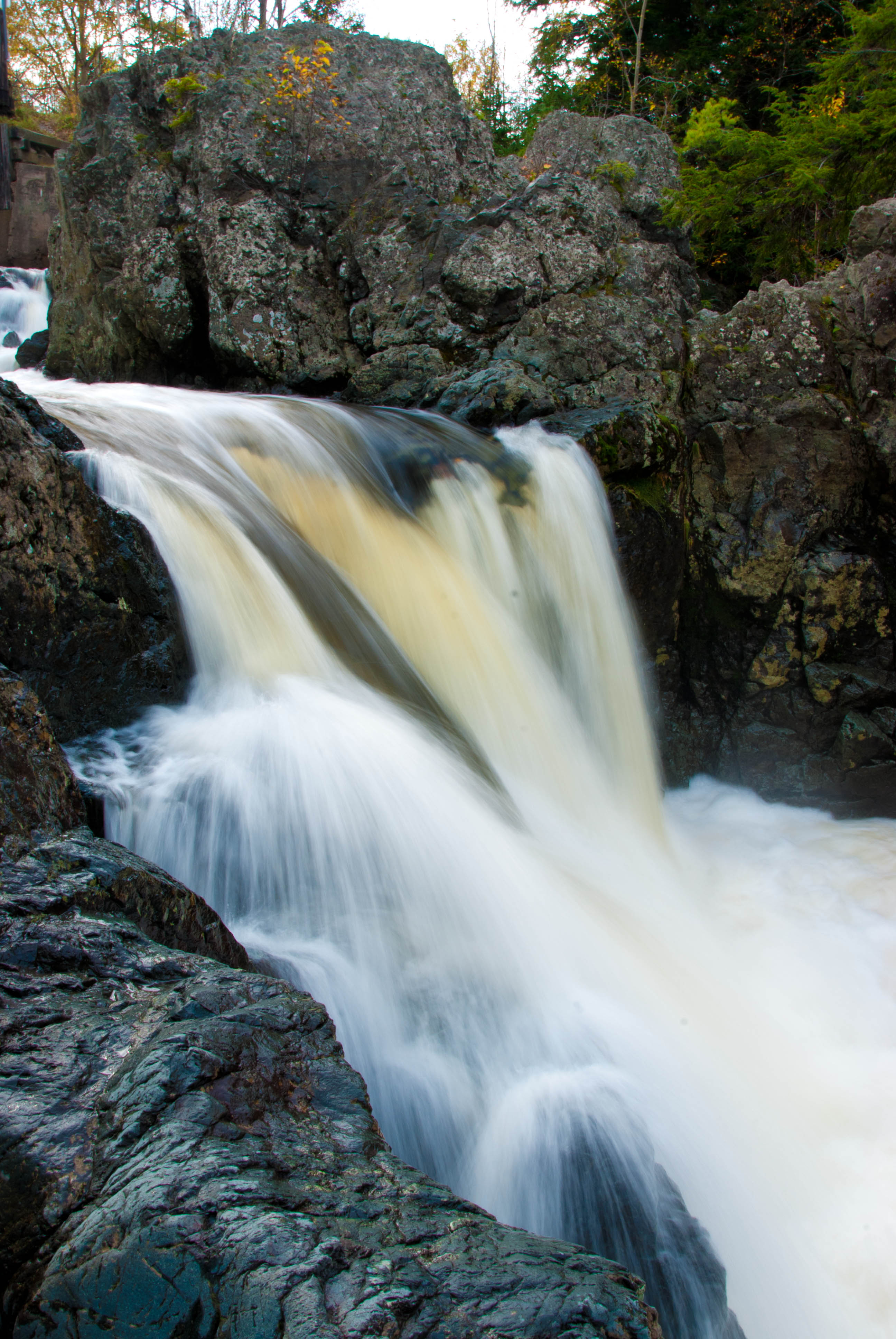
Glencoe Falls
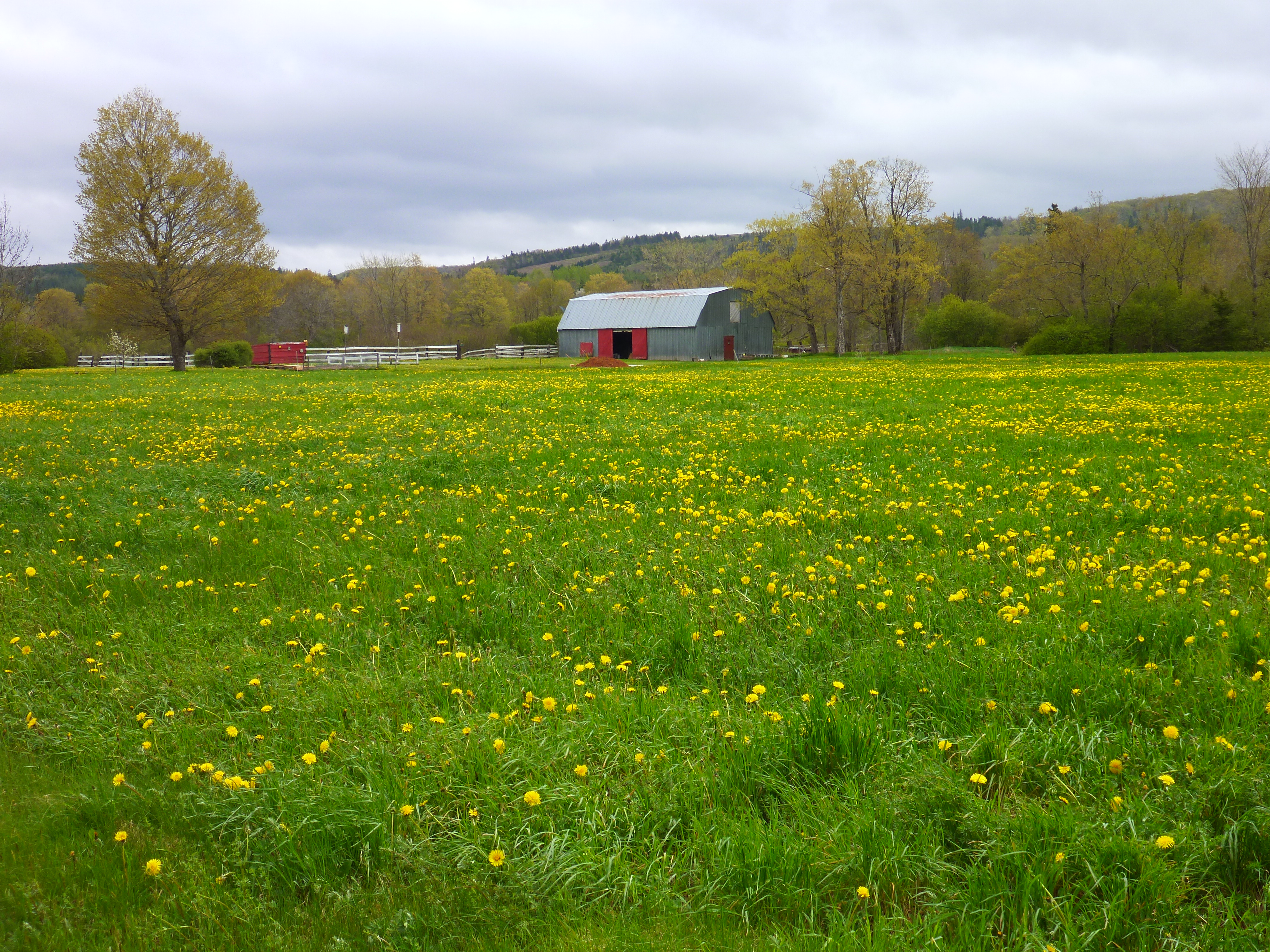
Farmers Field
Trail to Glencoe Falls
Topographic Map of Pictou, Subd. C, NS, Canada
Find elevation by address:

Places in Pictou, Subd. C, NS, Canada:
Merigomish
Thorburn
Sunnybrae
River Rd, Eureka, NS B0K 1B0, Canada
E River East Side Rd, Eureka, NS B0K 1B0, Canada
Little Harbour Rd, New Glasgow, NS B2H 5C4, Canada
Brookville Rd, New Glasgow, NS B2H 5C7, Canada
Pictou Landing Rd, Trenton, NS B0K 1X0, Canada
B0k 1b0
Places near Pictou, Subd. C, NS, Canada:
6371 Sherbrooke Rd
French River Rd, Merigomish, NS B0K 1G0, Canada
8500 Sherbrooke Rd
NS-4, Merigomish, NS B0K 1G0, Canada
Merigomish
Thorburn
Pine Tree Rd, Thorburn, NS B0K 1W0, Canada
Sunnybrae
E River West Side Rd, Sunnybrae, NS B0K 1T0, Canada
29 Maclean Dr
Brookville Rd, New Glasgow, NS B2H 5C7, Canada
E River East Side Rd, Sunnybrae, NS B0K 1T0, Canada
E River East Side Rd, Eureka, NS B0K 1B0, Canada
Sherbrooke Rd, Thorburn, NS B0K 1W0, Canada
Little Harbour Rd, New Glasgow, NS B2H 5C4, Canada
Shore Rd, Merigomish, NS B0K 1G0, Canada
1741 Barneys River Rd
Frasers Mountain
B0k 1b0
Little Harbour Road
Recent Searches:
- Elevation of Corso Fratelli Cairoli, 35, Macerata MC, Italy
- Elevation of Tallevast Rd, Sarasota, FL, USA
- Elevation of 4th St E, Sonoma, CA, USA
- Elevation of Black Hollow Rd, Pennsdale, PA, USA
- Elevation of Oakland Ave, Williamsport, PA, USA
- Elevation of Pedrógão Grande, Portugal
- Elevation of Klee Dr, Martinsburg, WV, USA
- Elevation of Via Roma, Pieranica CR, Italy
- Elevation of Tavkvetili Mountain, Georgia
- Elevation of Hartfords Bluff Cir, Mt Pleasant, SC, USA