Elevation of French River Rd, Merigomish, NS B0K 1G0, Canada
Location: Canada > Nova Scotia > Pictou County > Pictou, Subd. C > Merigomish >
Longitude: -62.376053
Latitude: 45.505562
Elevation: 174m / 571feet
Barometric Pressure: 99KPa
Elevation Map:
Satellite Map:
Related Photos:

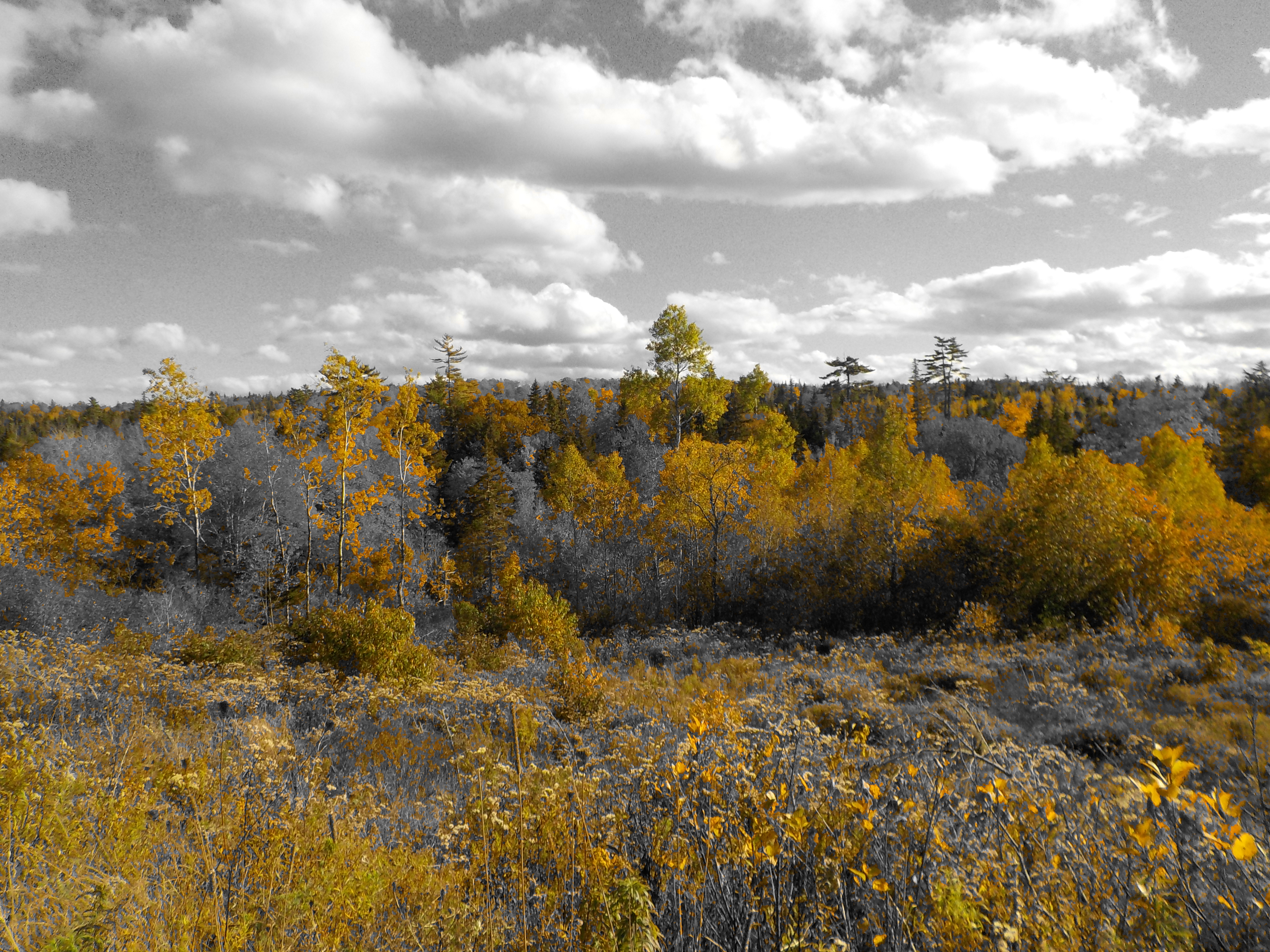
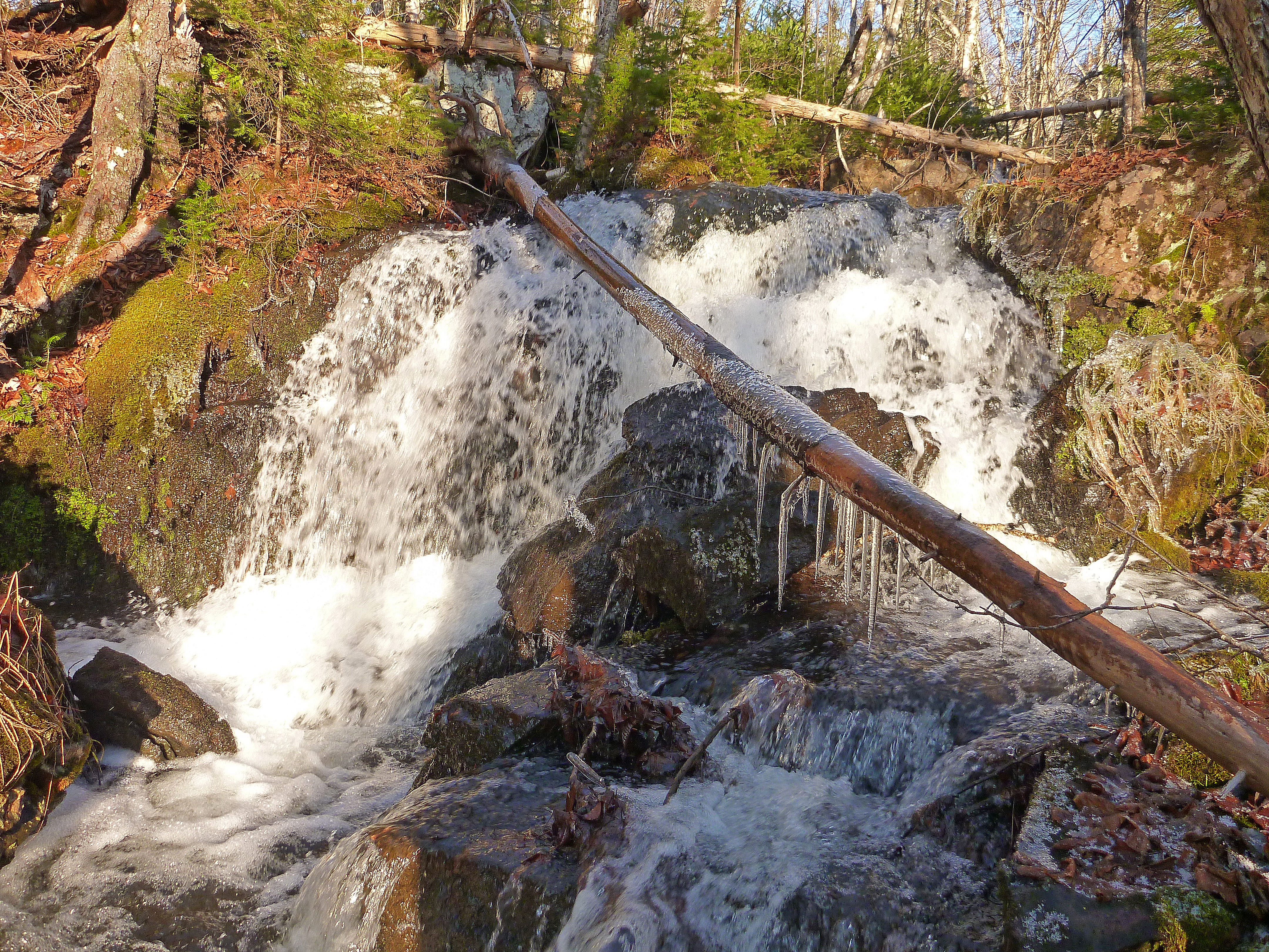
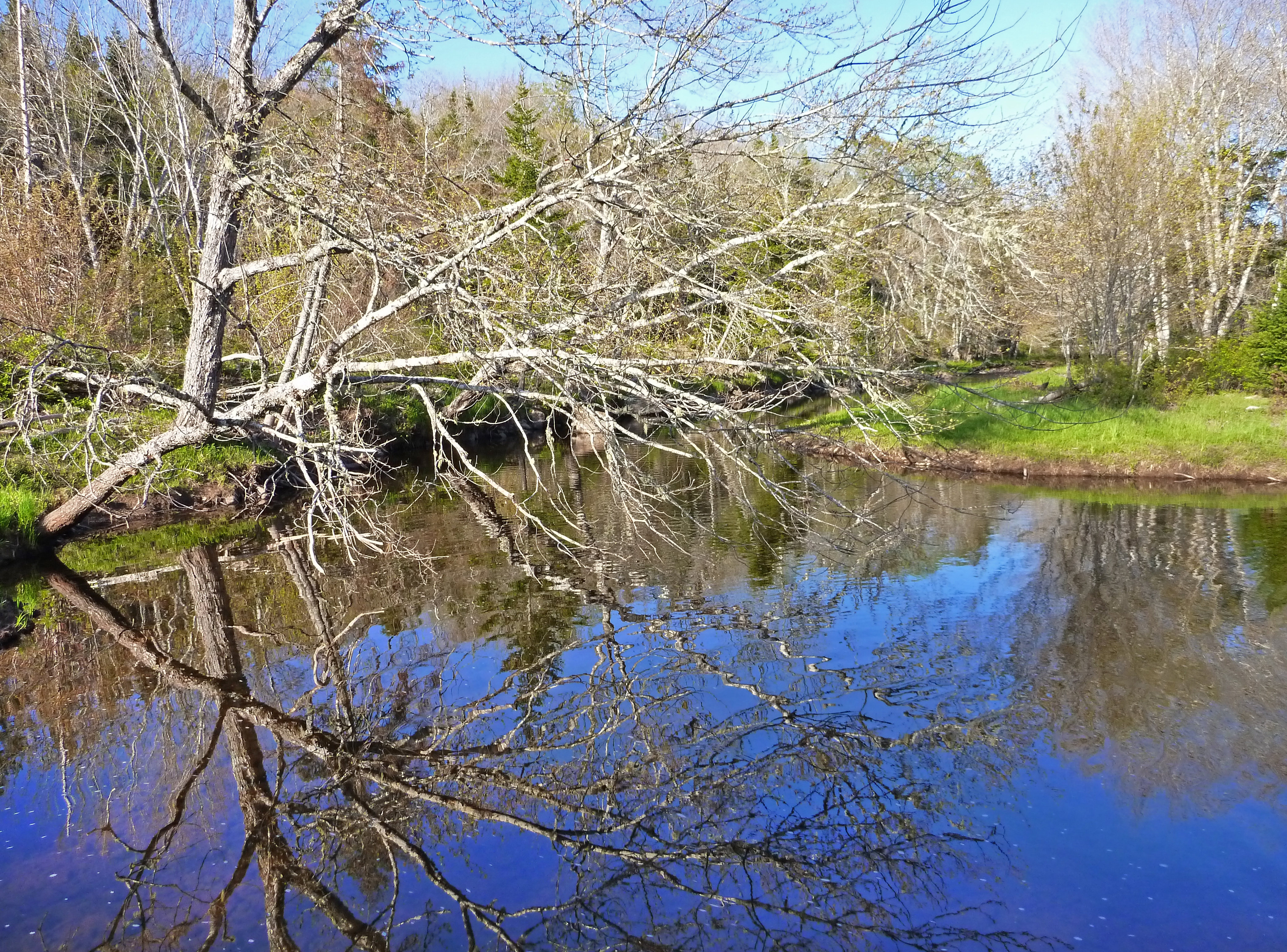
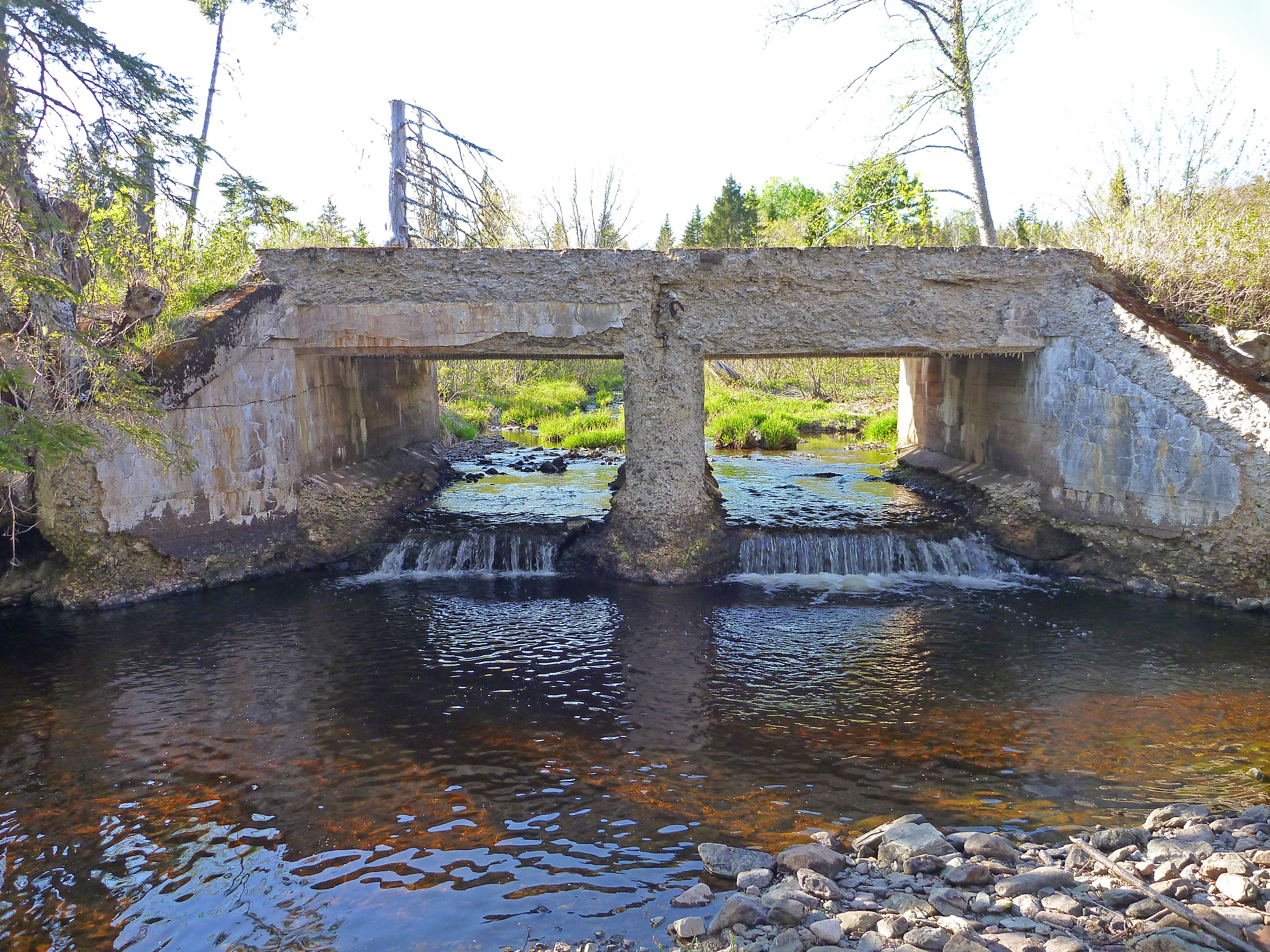
Brookville Barn

Red Door

Brookside Trail

MacLellan's Mountain

Beaver Pond

Beaver Handiwork

Beavers Have a Project

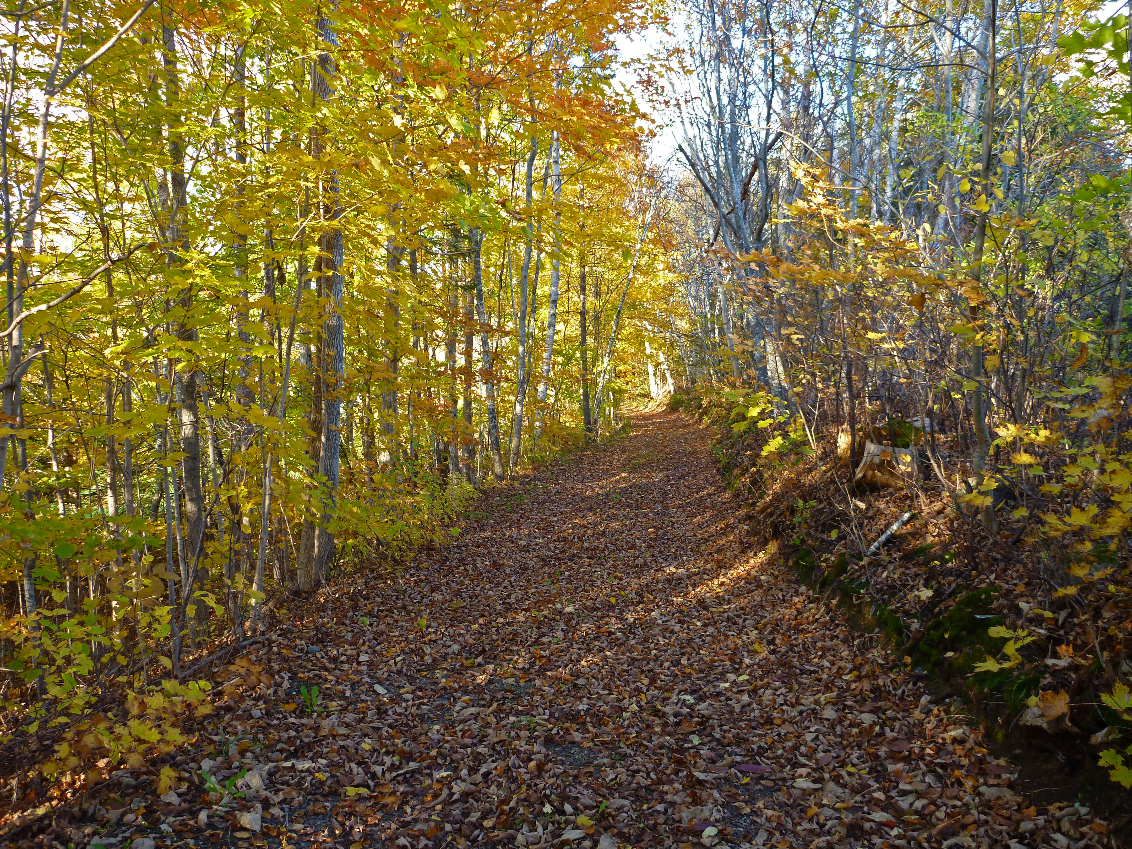
Trail and River

You Are Here

Dream Walk

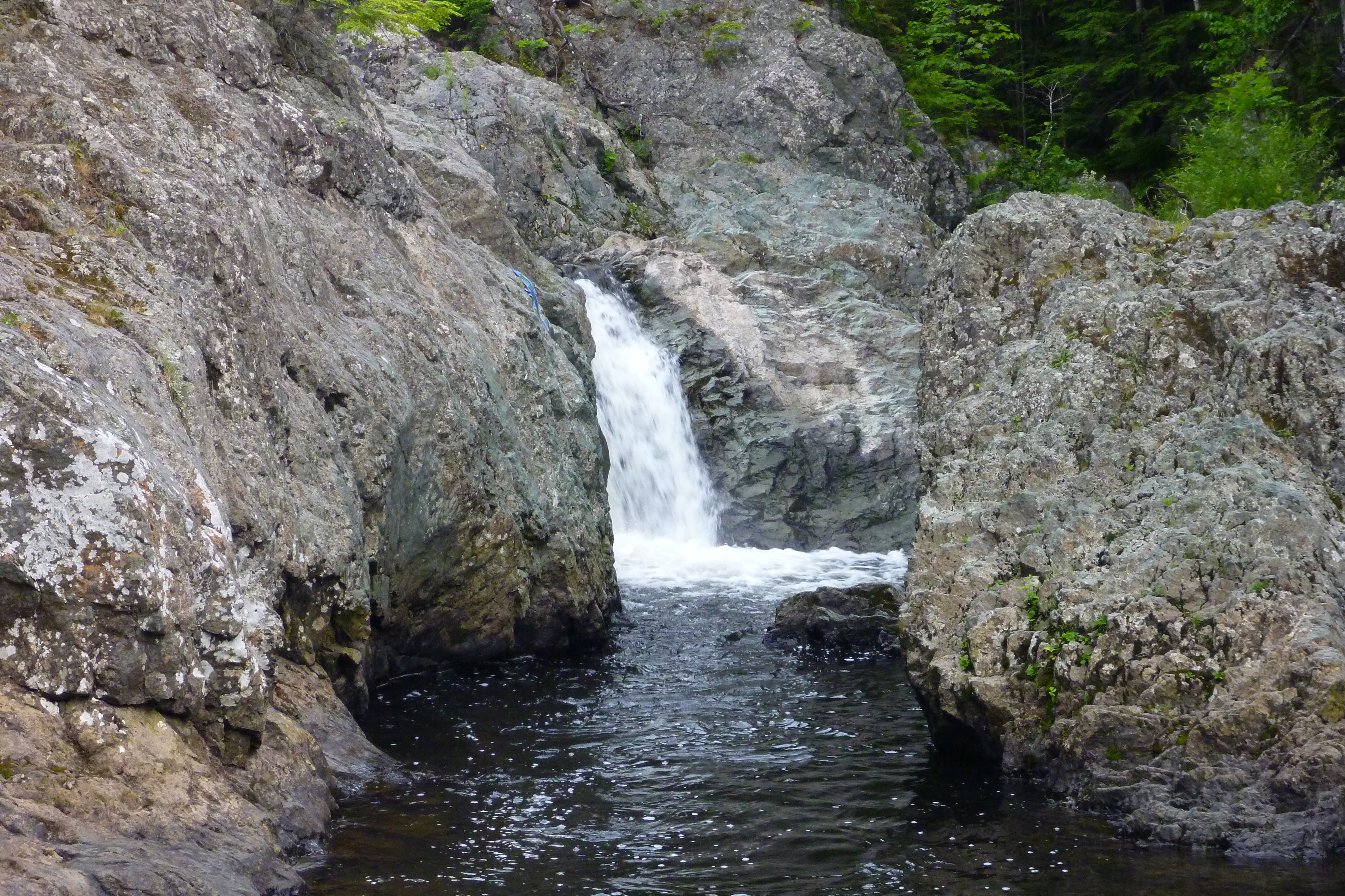
Fall Brook Fall

Nova Scotia love
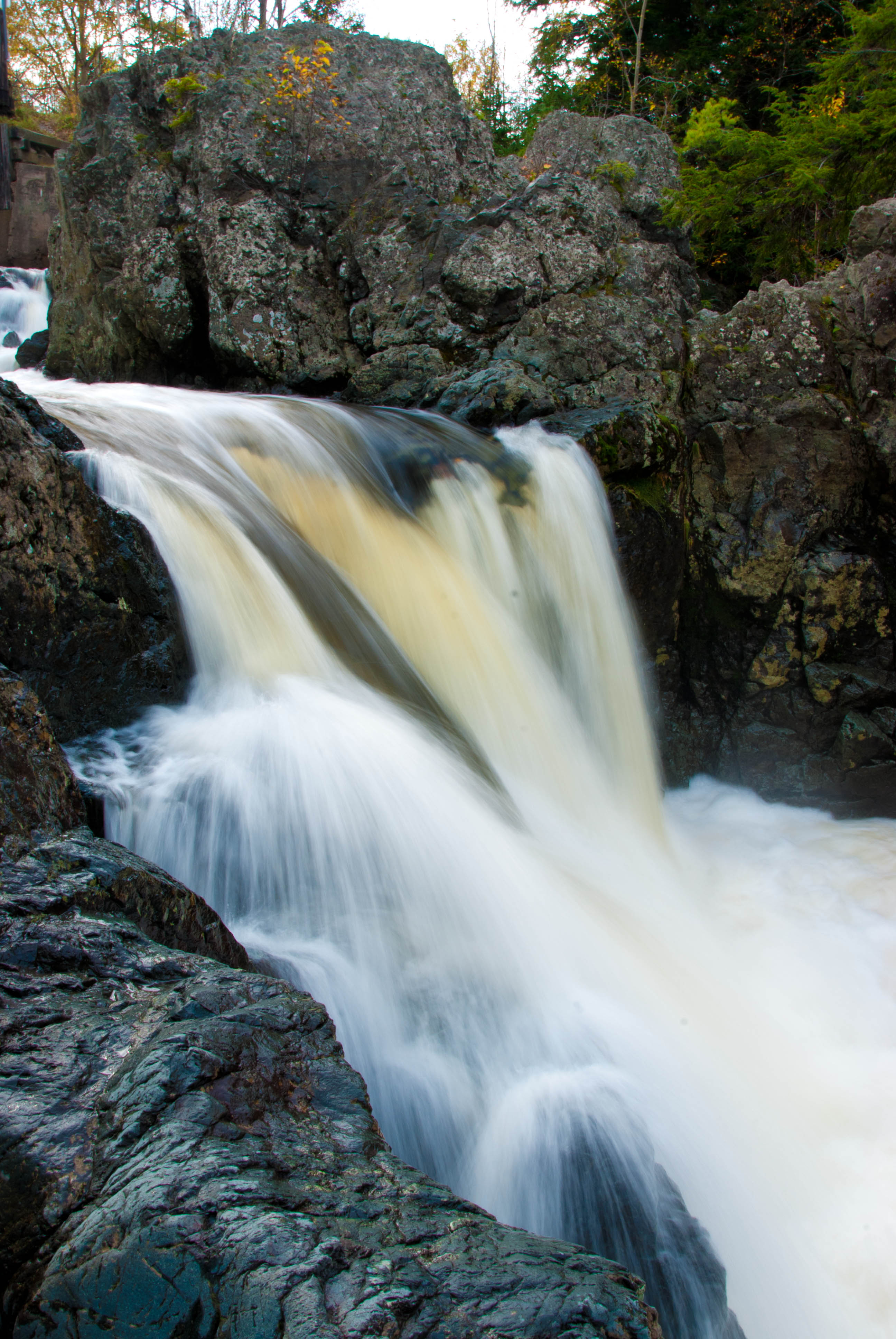
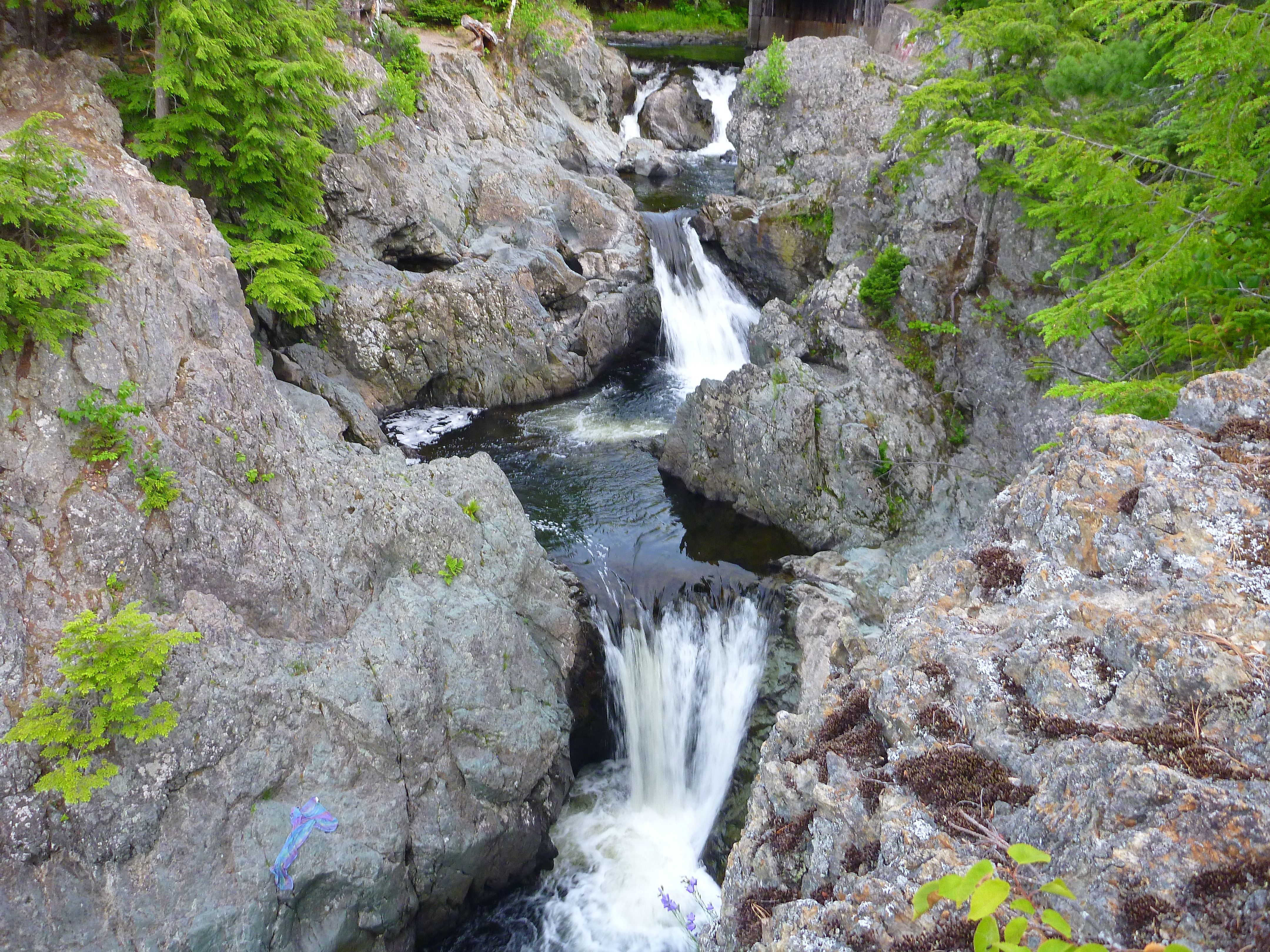
Park Falls, NS
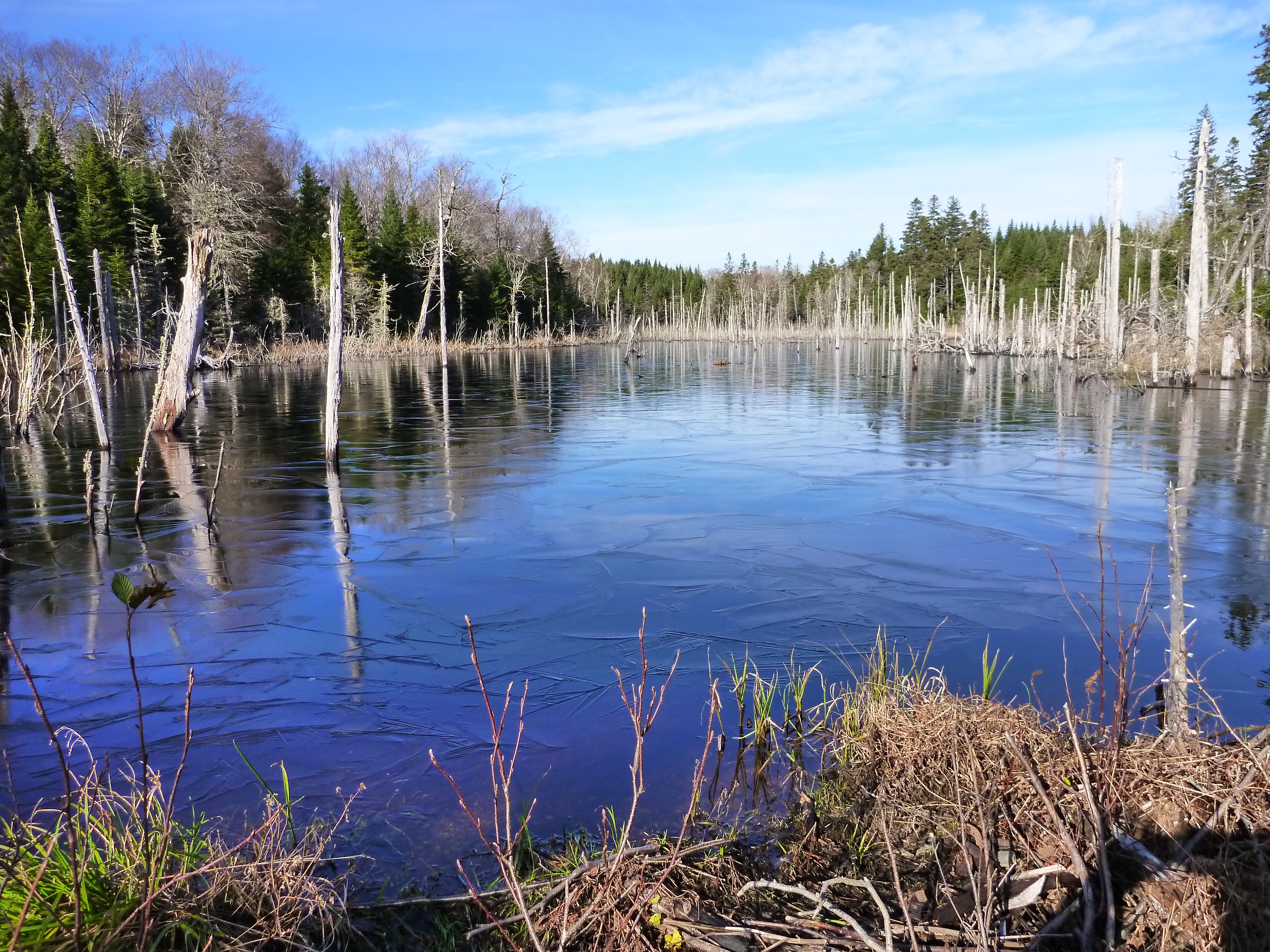
MacLellan's Mountian Pond
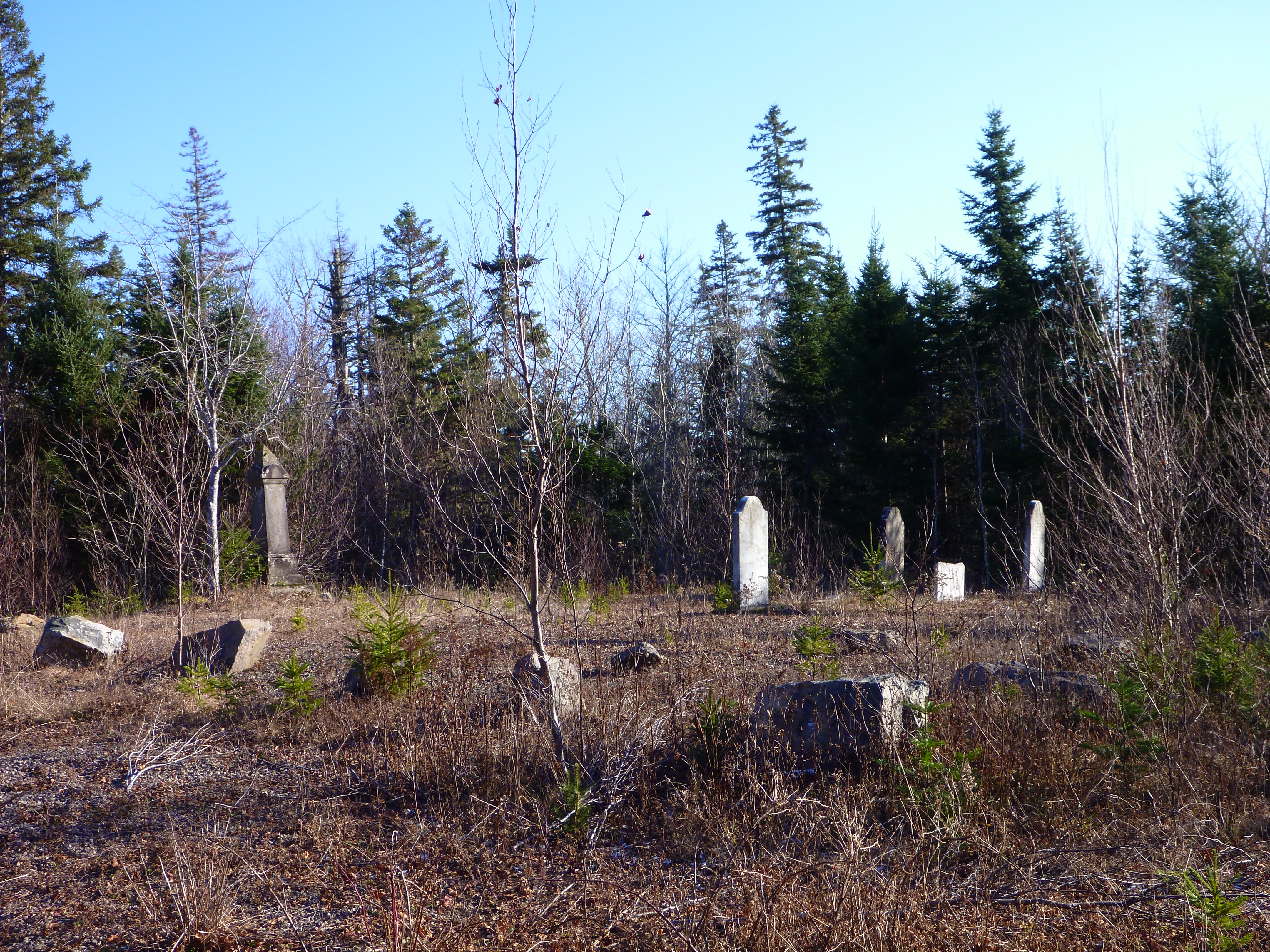
Sutherlands Lake Cemetary Hike (31)
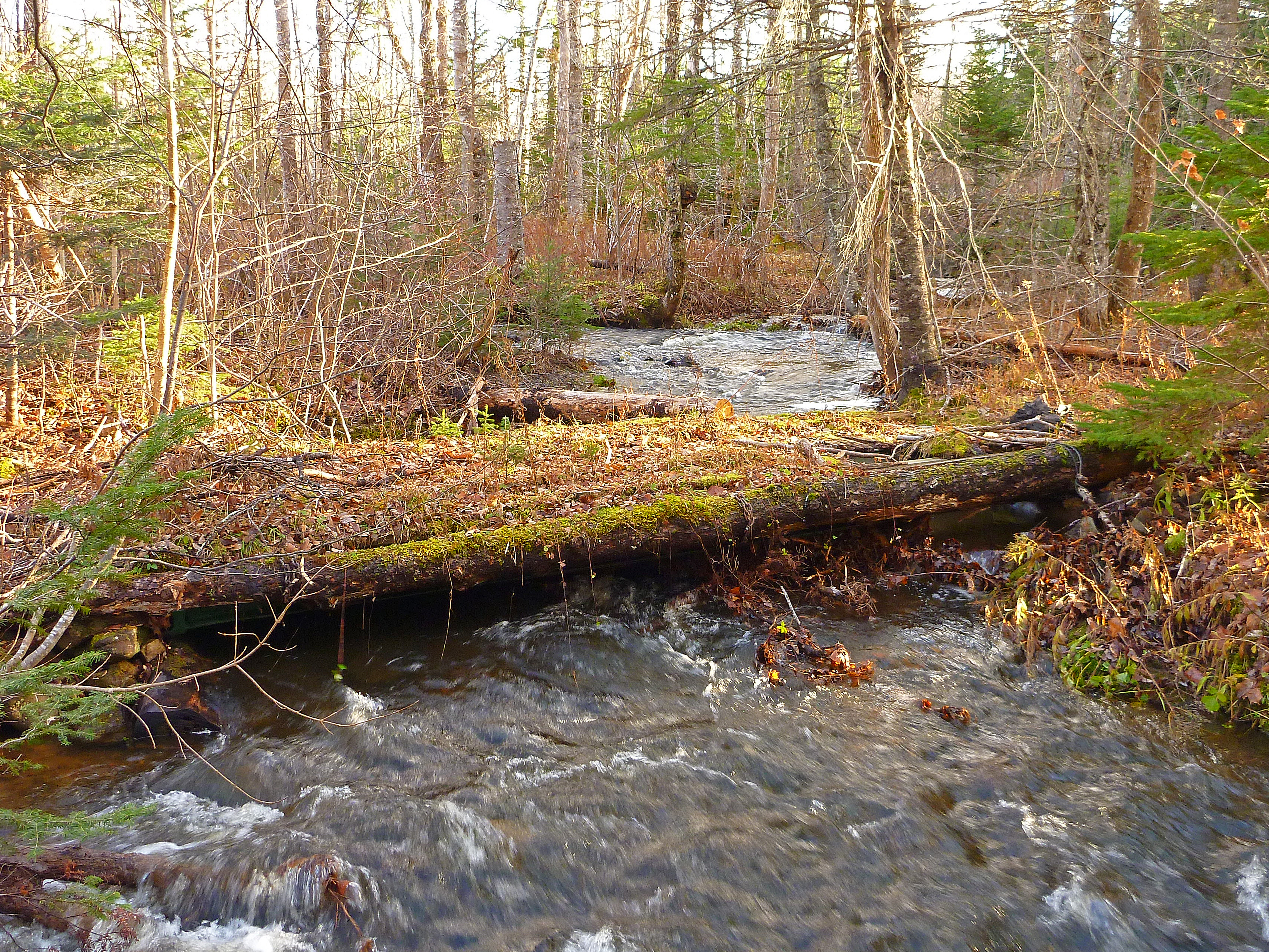
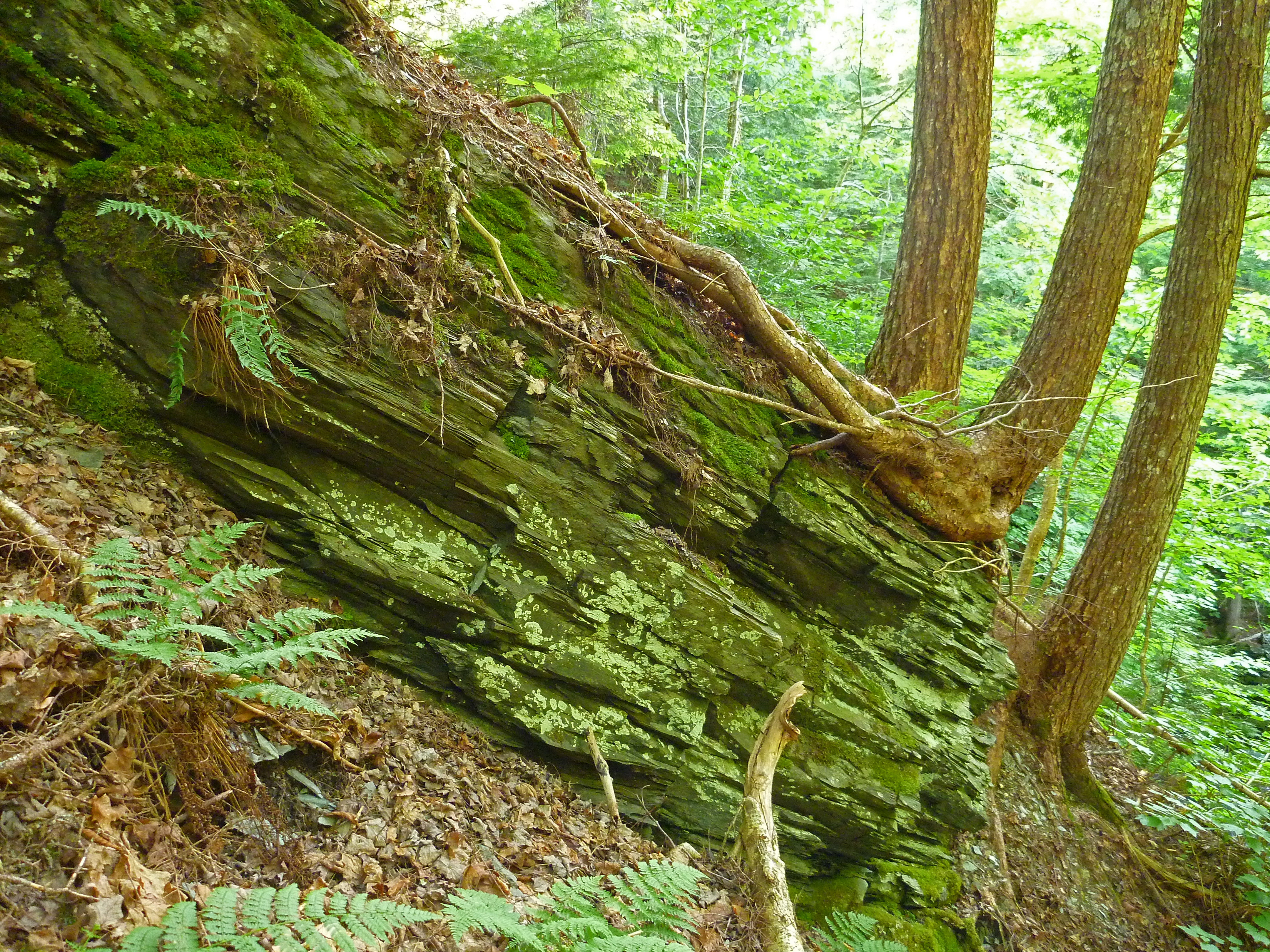
Log Bridge, McGrath's Mountain, Pictou County, Nova Scotia (2)
Kerrowgare, Pictou County (2)
Roadside Falls, McGraths Mountain Road, Laggan, Pictou County, Nova Scotia (2)

Kerrowgare Road, Pictou County, Nova scotia

French River, Blue Mountain, Pictou County, Nova Scotia (2)
Railroad to Nowhere (Circa 1930), Upper East River, Kerrowgare, Pictou County, Nova Scotia (12)
Railroad to Nowhere (Circa 1930), Upper East River, Kerrowgare, Pictou County, Nova Scotia (7)
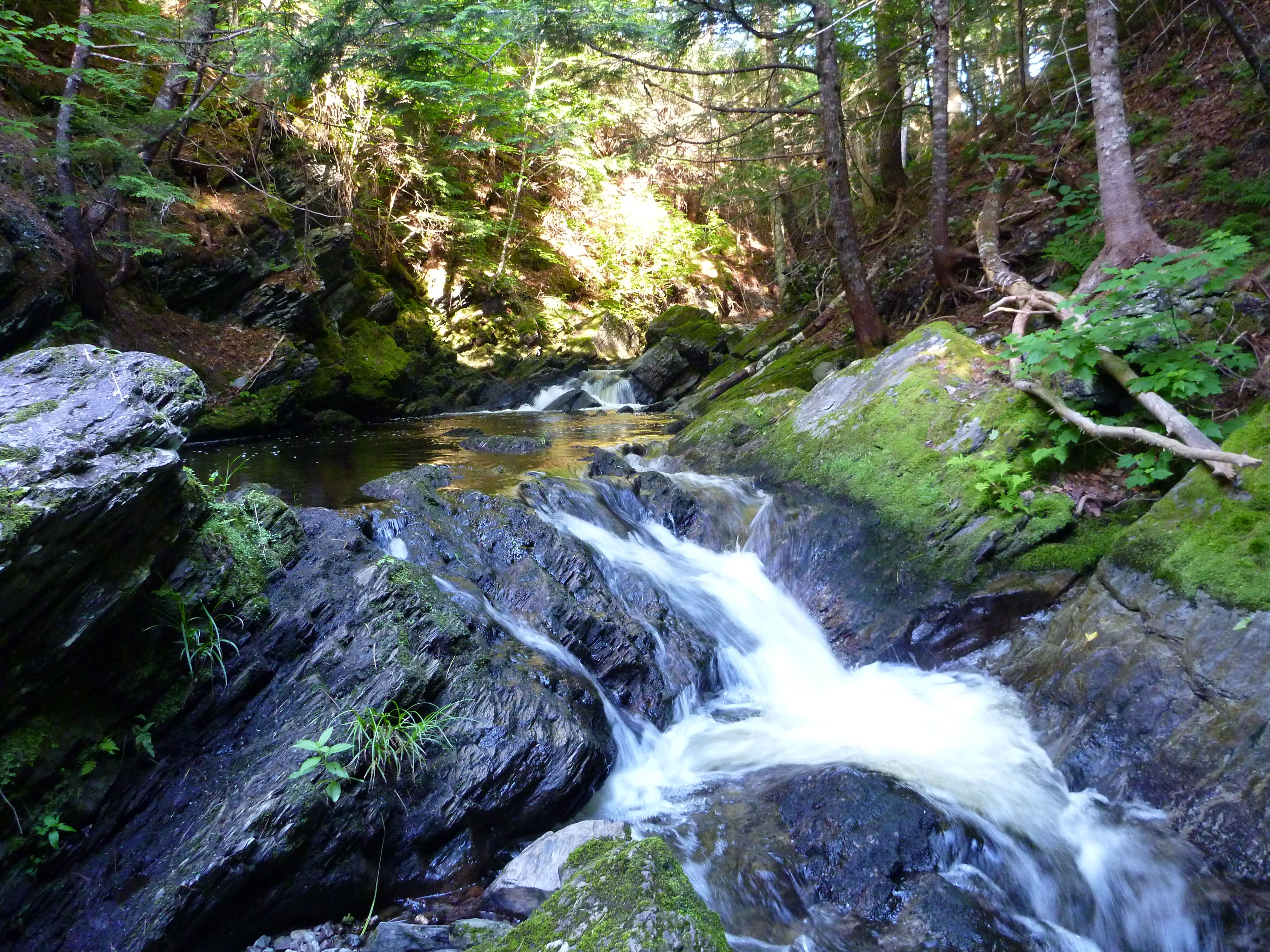
French River, Blue Mountain, Pictou County, Nova Scotia (3) copy
French River, Blue Mountain, Pictou County, Nova Scotia (1)
French River, Blue Mountain, Pictou County, Nova Scotia (4)
French River, Blue Mountain, Pictou County, Nova Scotia (5)
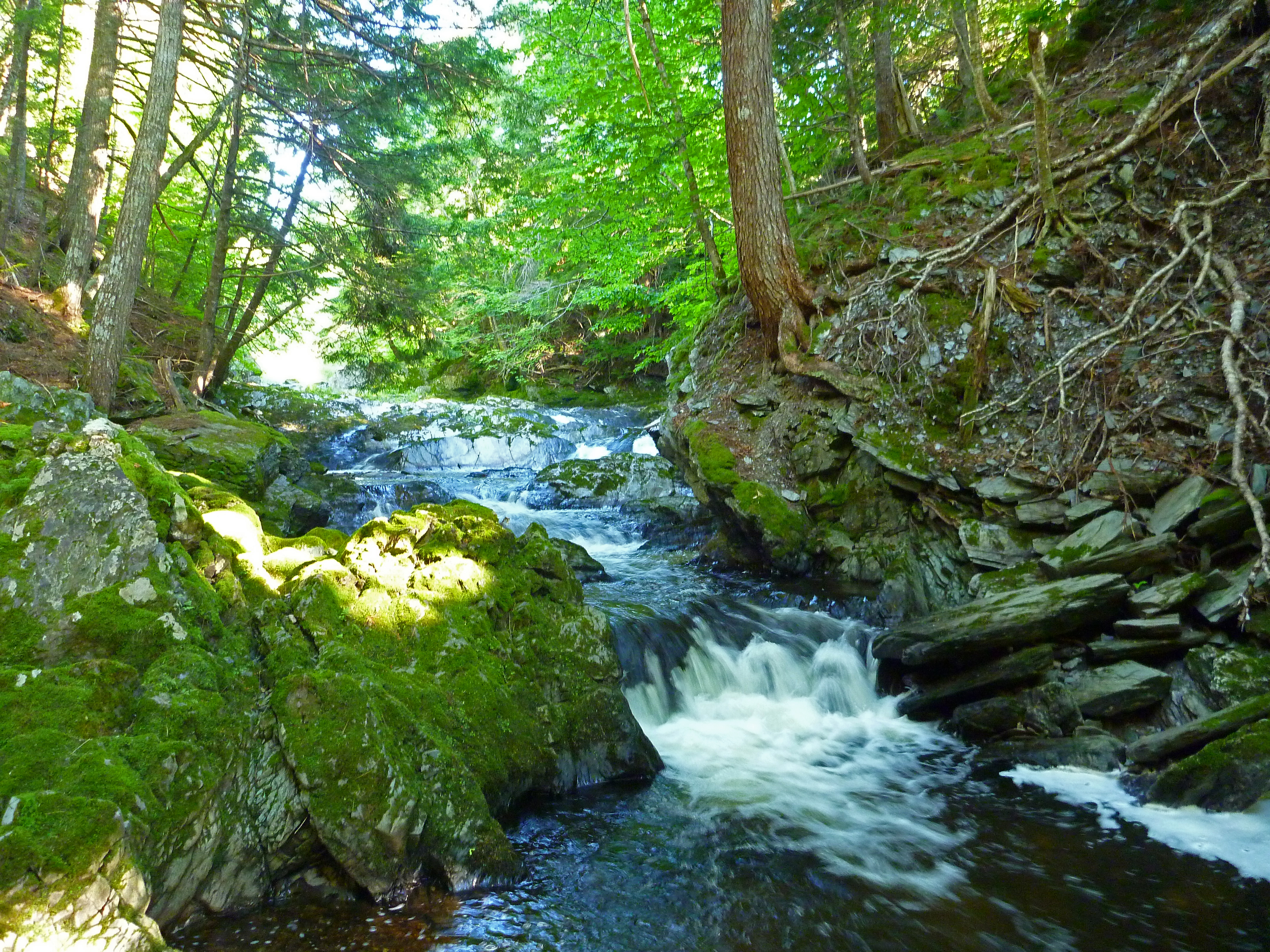
Lower French River, Pictou County, Nova Scotia (2)
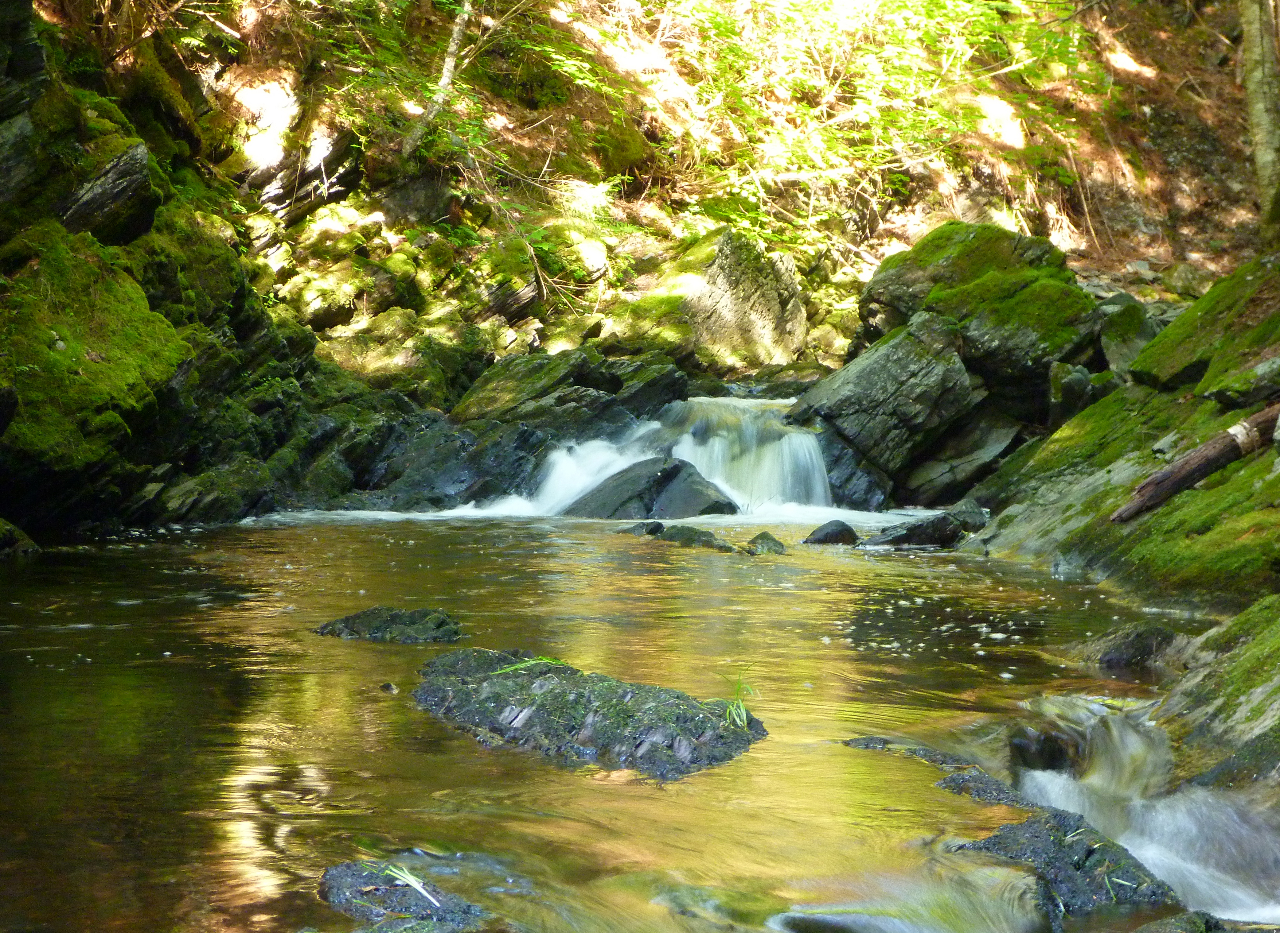
Patk Falls. Pictou County, Nova Scotia
Park Falls. Pictou County, Nova Scotia
Topographic Map of French River Rd, Merigomish, NS B0K 1G0, Canada
Find elevation by address:

Places near French River Rd, Merigomish, NS B0K 1G0, Canada:
6371 Sherbrooke Rd
Pictou, Subd. C
NS-4, Merigomish, NS B0K 1G0, Canada
Merigomish
8500 Sherbrooke Rd
Shore Rd, Merigomish, NS B0K 1G0, Canada
Sunnybrae
E River West Side Rd, Sunnybrae, NS B0K 1T0, Canada
1741 Barneys River Rd
Thorburn
E River East Side Rd, Sunnybrae, NS B0K 1T0, Canada
29 Maclean Dr
Pine Tree Rd, Thorburn, NS B0K 1W0, Canada
E River East Side Rd, Eureka, NS B0K 1B0, Canada
Shore Rd, Merigomish, NS B0K 1G0, Canada
Brookville Rd, New Glasgow, NS B2H 5C7, Canada
Little Harbour Rd, New Glasgow, NS B2H 5C4, Canada
Sherbrooke Rd, Thorburn, NS B0K 1W0, Canada
Cameron Settlement Rd, Aspen, NS B0H 1E0, Canada
NS-4, Saint Andrews, NS B0H 1X0, Canada
Recent Searches:
- Elevation of 3 Nestling Wood Dr, Long Valley, NJ, USA
- Elevation of Ilungu, Tanzania
- Elevation of Yellow Springs Road, Yellow Springs Rd, Chester Springs, PA, USA
- Elevation of Rēzekne Municipality, Latvia
- Elevation of Plikpūrmaļi, Vērēmi Parish, Rēzekne Municipality, LV-, Latvia
- Elevation of 2 Henschke Ct, Caboolture QLD, Australia
- Elevation of Redondo Ave, Long Beach, CA, USA
- Elevation of Sadovaya Ulitsa, 20, Rezh, Sverdlovskaya oblast', Russia
- Elevation of Ulitsa Kalinina, 79, Rezh, Sverdlovskaya oblast', Russia
- Elevation of 72-31 Metropolitan Ave, Middle Village, NY, USA