Elevation of Pic Pétarel, La Chapelle-en-Valgaudémar, France
Location: France > Provence-alpes-côte D'azur > Hautes-alpes > La Chapelle-en-valgaudémar >
Longitude: 6.17499
Latitude: 44.790163
Elevation: 2486m / 8156feet
Barometric Pressure: 75KPa
Elevation Map:
Satellite Map:
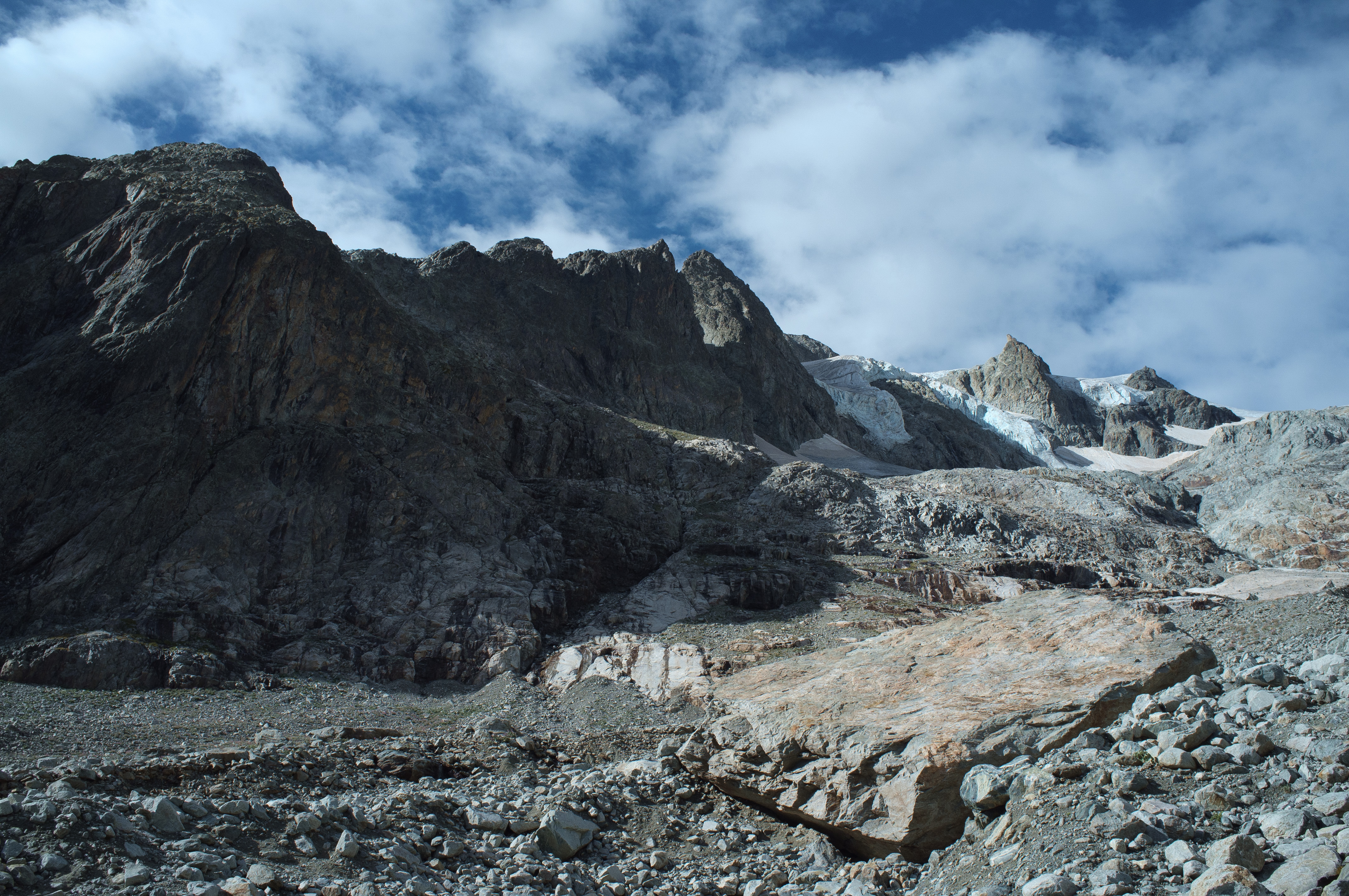
Related Photos:
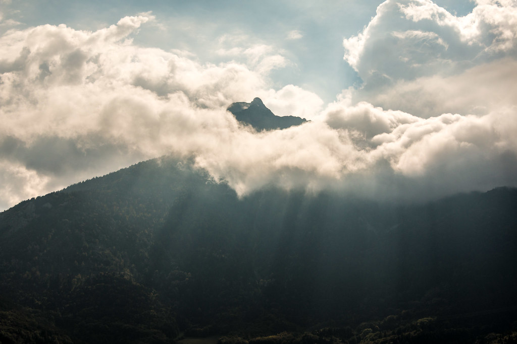
Peaking through the clouds.
Zicht op oostroute naar Mont Gioberney

Day 1 (c): View of Pointe de Verdonne
Topographic Map of Pic Pétarel, La Chapelle-en-Valgaudémar, France
Find elevation by address:

Places near Pic Pétarel, La Chapelle-en-Valgaudémar, France:
Aiguille De Midi Des Andrieux
Pic De Pian
La Chapelle-en-valgaudémar
Cime Des Moutières
Pic De Colle Blanche
Pic Turbat
Olan
Cime Du Vallon
Saint-maurice-en-valgodemard
Pic Des Souffles - Sommet Ouest
Le Chaperon
Le Cuchon
Pic Queyrel
Aiguille D'olan
Tête Du Clotonnet
Pointe De L'aiglière
Champoléon
Le Banc Du Peyron
Aiguille Des Arias - Sommet Est
Pey De Saint Maurice
Recent Searches:
- Elevation of Corso Fratelli Cairoli, 35, Macerata MC, Italy
- Elevation of Tallevast Rd, Sarasota, FL, USA
- Elevation of 4th St E, Sonoma, CA, USA
- Elevation of Black Hollow Rd, Pennsdale, PA, USA
- Elevation of Oakland Ave, Williamsport, PA, USA
- Elevation of Pedrógão Grande, Portugal
- Elevation of Klee Dr, Martinsburg, WV, USA
- Elevation of Via Roma, Pieranica CR, Italy
- Elevation of Tavkvetili Mountain, Georgia
- Elevation of Hartfords Bluff Cir, Mt Pleasant, SC, USA