Elevation of Le Banc du Peyron, Saint-Jacques-en-Valgodemard, France
Location: France > Provence-alpes-côte D'azur > Hautes-alpes > Saint-jacques-en-valgodemard >
Longitude: 6.0775
Latitude: 44.7602777
Elevation: 2643m / 8671feet
Barometric Pressure: 73KPa
Elevation Map:
Satellite Map:
Related Photos:

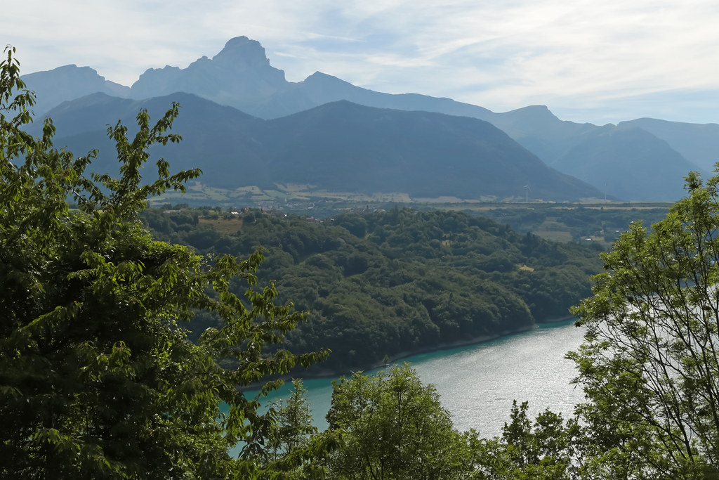
Peaking through the clouds.
Route Napoléon [N85] - Corps (France)
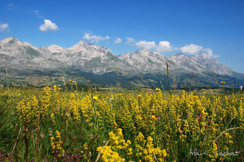
Dévoluy (2)

Route Napoléon [N85] - Les Côtes-des-Corps (France)

530. Dawn
Topographic Map of Le Banc du Peyron, Saint-Jacques-en-Valgodemard, France
Find elevation by address:

Places near Le Banc du Peyron, Saint-Jacques-en-Valgodemard, France:
Le Chaperon
La Motte-en-champsaur
Saint-jacques-en-valgodemard
Saint-maurice-en-valgodemard
Le Cuchon
Grun De Saint Maurice
Cime Des Moutières
Pey De Saint Maurice
Tête Du Clotonnet
Pic Queyrel
Pic De Pian
Aiguille De Midi Des Andrieux
Le Laton
Pic De Colle Blanche
Pic Pétarel
Aspres-lès-corps
La Salette-fallavaux
Pic Des Souffles - Sommet Ouest
Sommet Des Rouchoux
Laye
Recent Searches:
- Elevation of Corso Fratelli Cairoli, 35, Macerata MC, Italy
- Elevation of Tallevast Rd, Sarasota, FL, USA
- Elevation of 4th St E, Sonoma, CA, USA
- Elevation of Black Hollow Rd, Pennsdale, PA, USA
- Elevation of Oakland Ave, Williamsport, PA, USA
- Elevation of Pedrógão Grande, Portugal
- Elevation of Klee Dr, Martinsburg, WV, USA
- Elevation of Via Roma, Pieranica CR, Italy
- Elevation of Tavkvetili Mountain, Georgia
- Elevation of Hartfords Bluff Cir, Mt Pleasant, SC, USA