Elevation of Philadelphia, MO, USA
Location: United States > Missouri > Marion County > Union Township >
Longitude: -91.739138
Latitude: 39.8386292
Elevation: 219m / 719feet
Barometric Pressure: 99KPa
Elevation Map:
Satellite Map:
Related Photos:

Besökare Samtidigt

32 Yds Jelly Head

My cool, awesome, niece and I just goofing off!!

My min pin Princess and a neighbor who never wants to go home....LOL- 2012-02-29

My baby Princess 2012-02-29 005

My min pin Princess and a neighbor who never wants to go home....LOL- 2012-02-29

My min pin Princess and a neighbor who never wants to go home....LOL- 2012-02-29

Grover's Tree - Old BW

Muddy Pig

The Road Home

John Deer

Kenneth And Joe

Grover's Cemetary BW
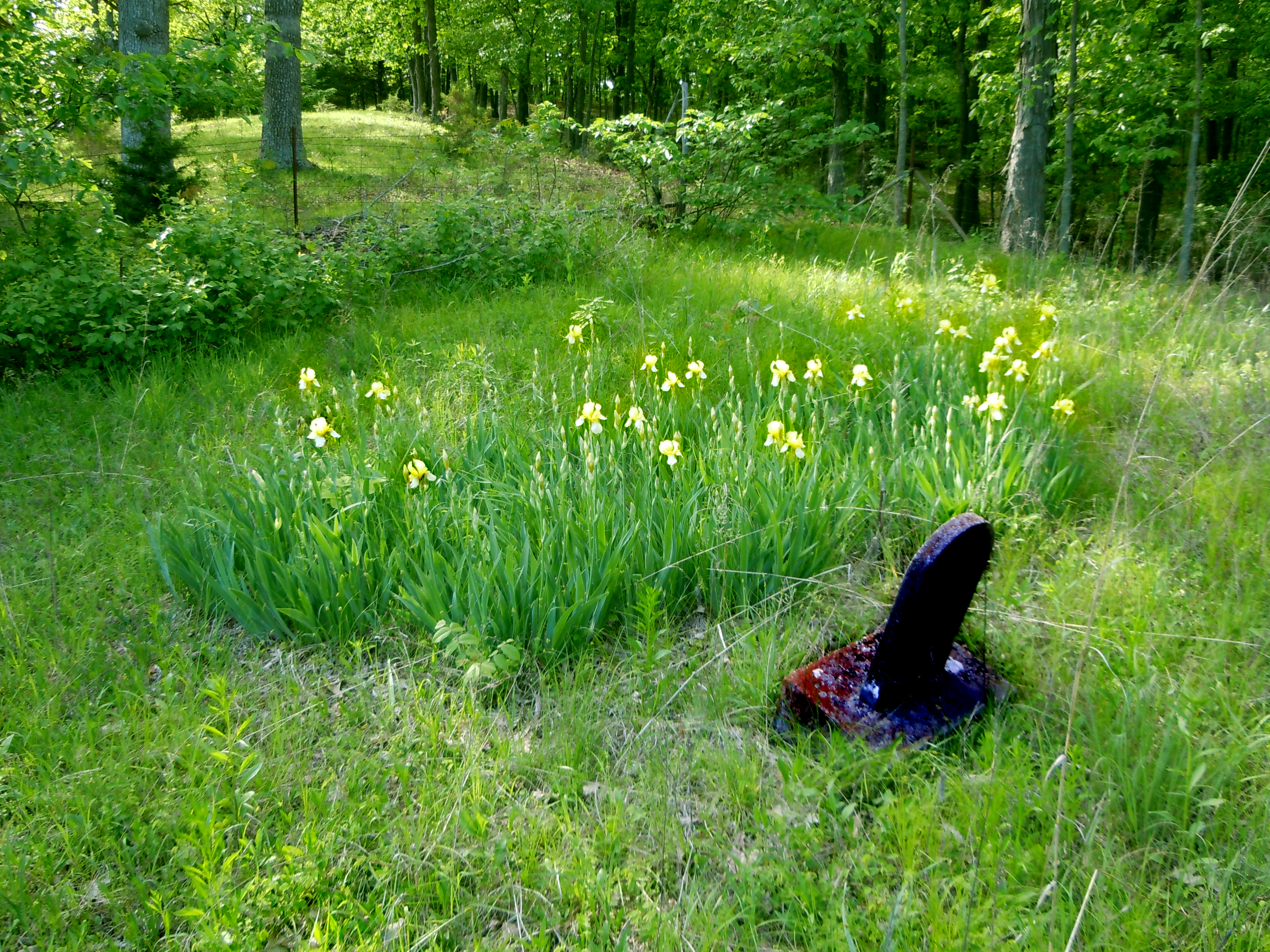
Grover's Cemetary

Grover's Tree - Purple Clouds

Grover's Tree - Blue Shadow

Carrie Bevill on "The Mark McClure Show"

Contact me on skype. My ID is carrie.bevill
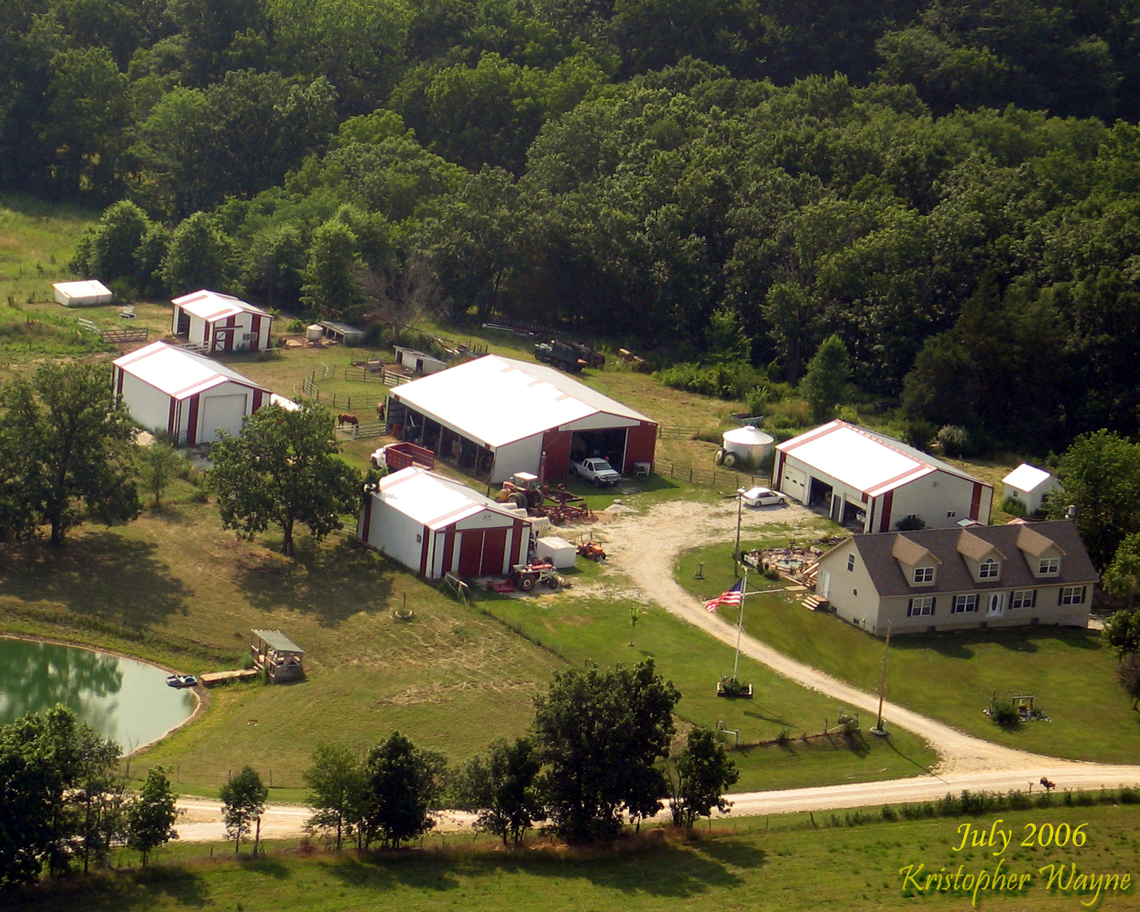
Pryor Farm, Maywood, MO
Topographic Map of Philadelphia, MO, USA
Find elevation by address:

Places in Philadelphia, MO, USA:
Places near Philadelphia, MO, USA:
2191 Missouri 36 Bike Rte
2191 Missouri 36 Bike Rte
County Road 17
Union Township
MO-, Philadelphia, MO, USA
Marion County
State Hwy C, Palmyra, MO, USA
Highland Township
Ewing
Maywood
Monroe City
N Main St, Monroe City, MO, USA
Missouri J, Monroe City, MO, USA
State Hwy CC, Ewing, MO, USA
W Ross St, Palmyra, MO, USA
Lewis County
Palmyra
Co Rd, Lewistown, MO, USA
18689 Mo-6
Union Township
Recent Searches:
- Elevation of Corso Fratelli Cairoli, 35, Macerata MC, Italy
- Elevation of Tallevast Rd, Sarasota, FL, USA
- Elevation of 4th St E, Sonoma, CA, USA
- Elevation of Black Hollow Rd, Pennsdale, PA, USA
- Elevation of Oakland Ave, Williamsport, PA, USA
- Elevation of Pedrógão Grande, Portugal
- Elevation of Klee Dr, Martinsburg, WV, USA
- Elevation of Via Roma, Pieranica CR, Italy
- Elevation of Tavkvetili Mountain, Georgia
- Elevation of Hartfords Bluff Cir, Mt Pleasant, SC, USA