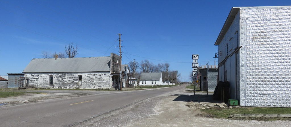
Elevation of County Road 17, Co Rd 17, Philadelphia, MO, USA
Location: United States > Missouri > Marion County > Union Township > Philadelphia >
Longitude: -91.734654
Latitude: 39.8395682
Elevation: 219m / 719feet
Barometric Pressure: 99KPa
Elevation Map:
Satellite Map:
Related Photos:

IMG_9548

Sunrise from above

Blessed Solitude

Giant Schnauzer Delta

Giant Schnauzer Delta
Emden, Missouri
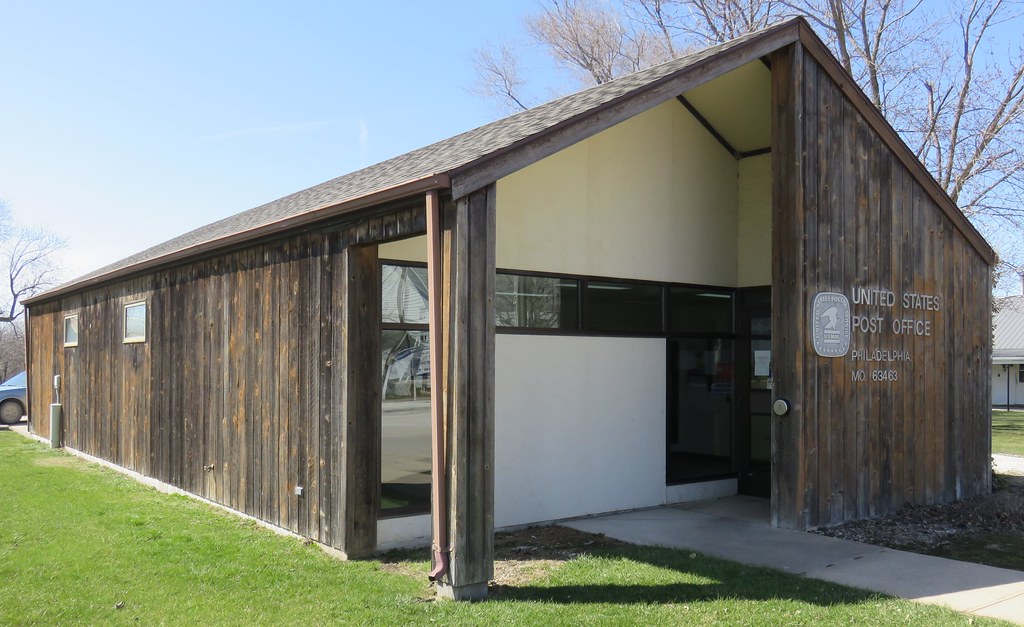
Post Office 63439 (Emden, Missouri)
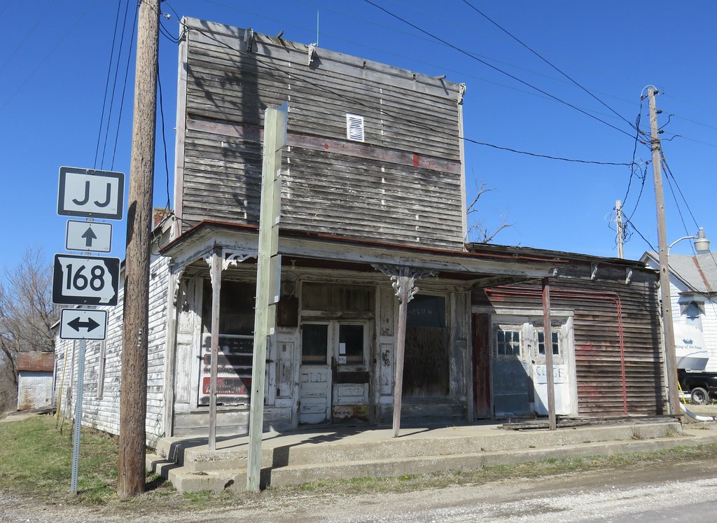
Old Store (Emden, Missouri)
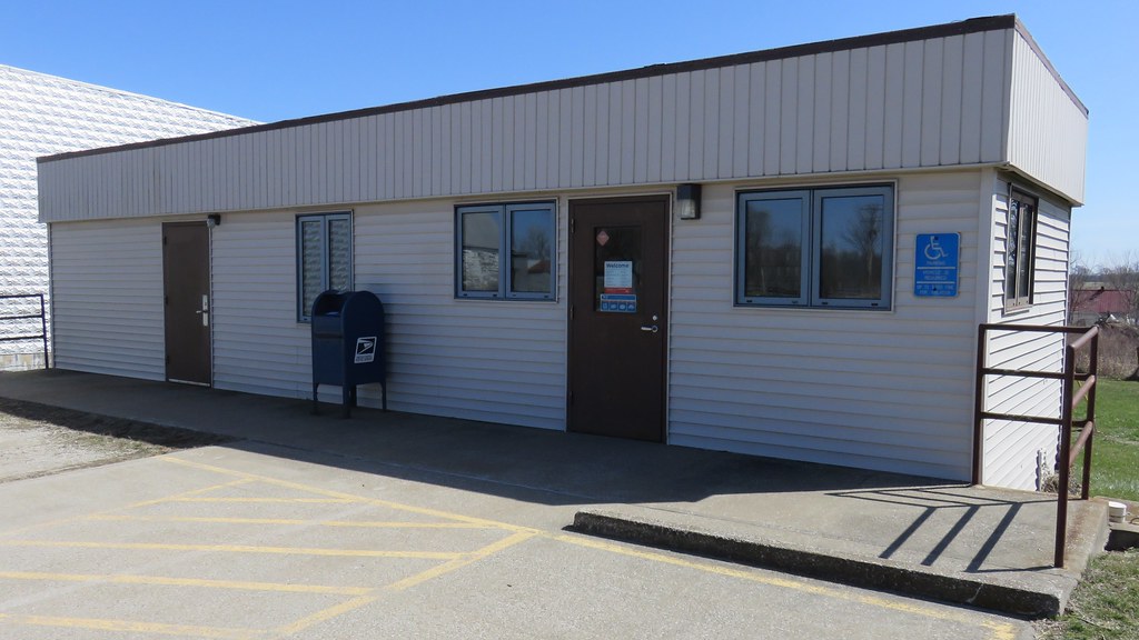
Post Office 63463 (Philadelphia, Missouri)

My min pin Princess and a neighbor who never wants to go home....LOL- 2012-02-29

Lacey Miller - Kisses for Momma

Lacey Miller - Evening Walk

32 Yds Jelly Head

My cool, awesome, niece and I just goofing off!!

My baby Princess 2012-02-29 005

My min pin Princess and a neighbor who never wants to go home....LOL- 2012-02-29

Grover's Tree - Old BW

Muddy Pig

The Road Home

John Deer

Kenneth And Joe

Grover's Cemetary BW
Topographic Map of County Road 17, Co Rd 17, Philadelphia, MO, USA
Find elevation by address:

Places near County Road 17, Co Rd 17, Philadelphia, MO, USA:
Philadelphia
2191 Missouri 36 Bike Rte
2191 Missouri 36 Bike Rte
Union Township
MO-, Philadelphia, MO, USA
Marion County
State Hwy C, Palmyra, MO, USA
Highland Township
Ewing
Maywood
Monroe City
N Main St, Monroe City, MO, USA
Missouri J, Monroe City, MO, USA
State Hwy CC, Ewing, MO, USA
W Ross St, Palmyra, MO, USA
Lewis County
Palmyra
Co Rd, Lewistown, MO, USA
18689 Mo-6
Union Township
Recent Searches:
- Elevation of Sadovaya Ulitsa, 20, Rezh, Sverdlovskaya oblast', Russia
- Elevation of Ulitsa Kalinina, 79, Rezh, Sverdlovskaya oblast', Russia
- Elevation of 72-31 Metropolitan Ave, Middle Village, NY, USA
- Elevation of 76 Metropolitan Ave, Brooklyn, NY, USA
- Elevation of Alisal Rd, Solvang, CA, USA
- Elevation of Vista Blvd, Sparks, NV, USA
- Elevation of 15th Ave SE, St. Petersburg, FL, USA
- Elevation of Beall Road, Beall Rd, Florida, USA
- Elevation of Leguwa, Nepal
- Elevation of County Rd, Enterprise, AL, USA