Elevation of Peyremale, France
Location: France > Gard >
Longitude: 4.061647
Latitude: 44.300833
Elevation: 221m / 725feet
Barometric Pressure: 99KPa
Elevation Map:
Satellite Map:
Related Photos:
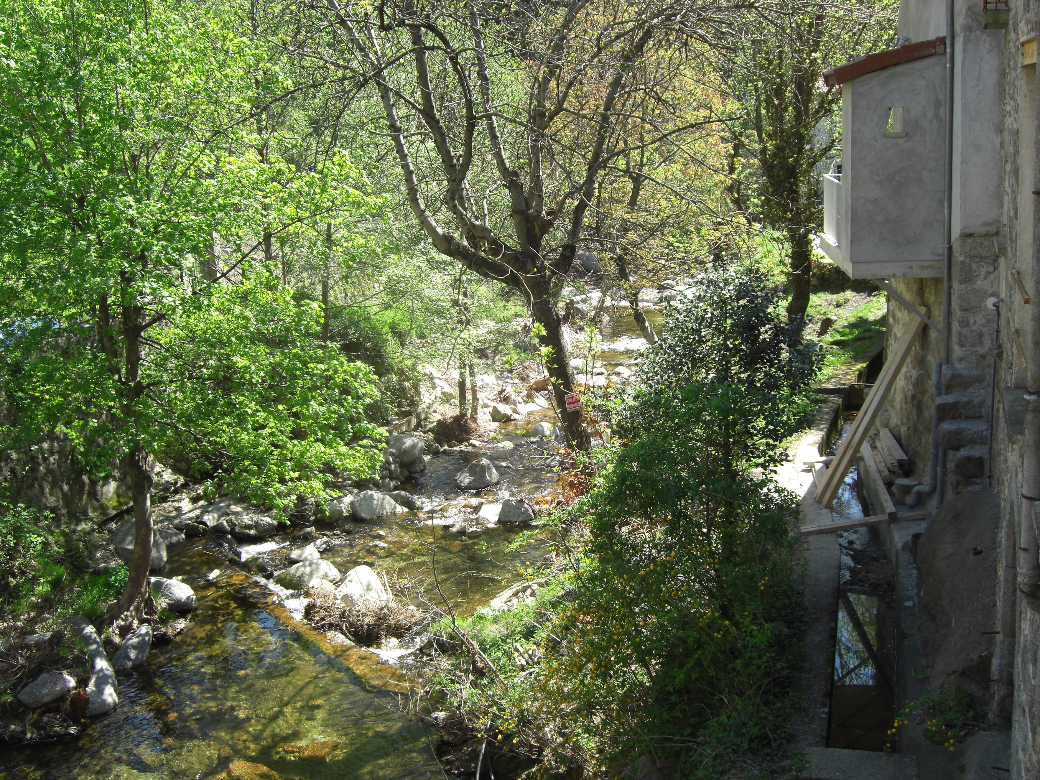
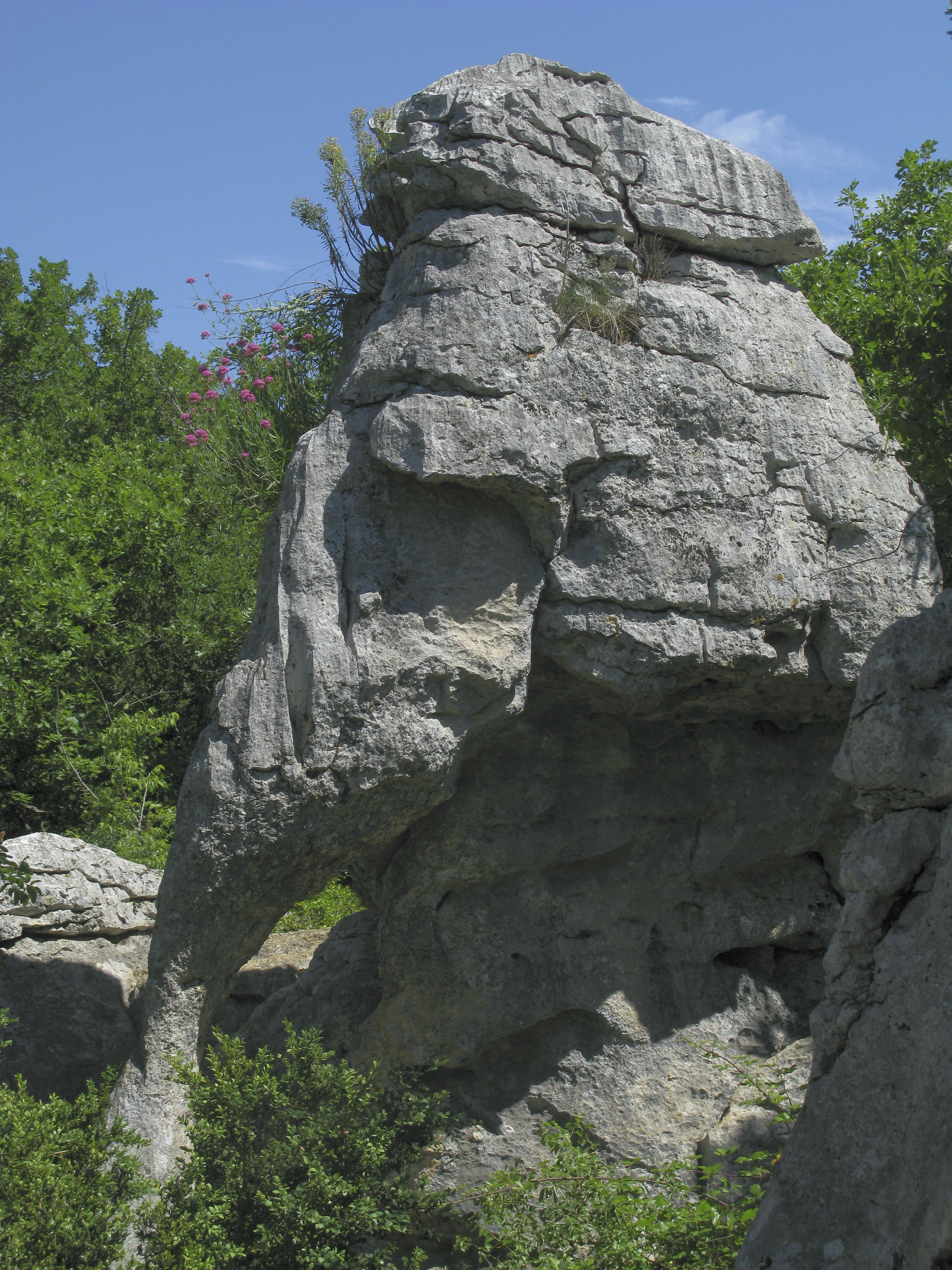
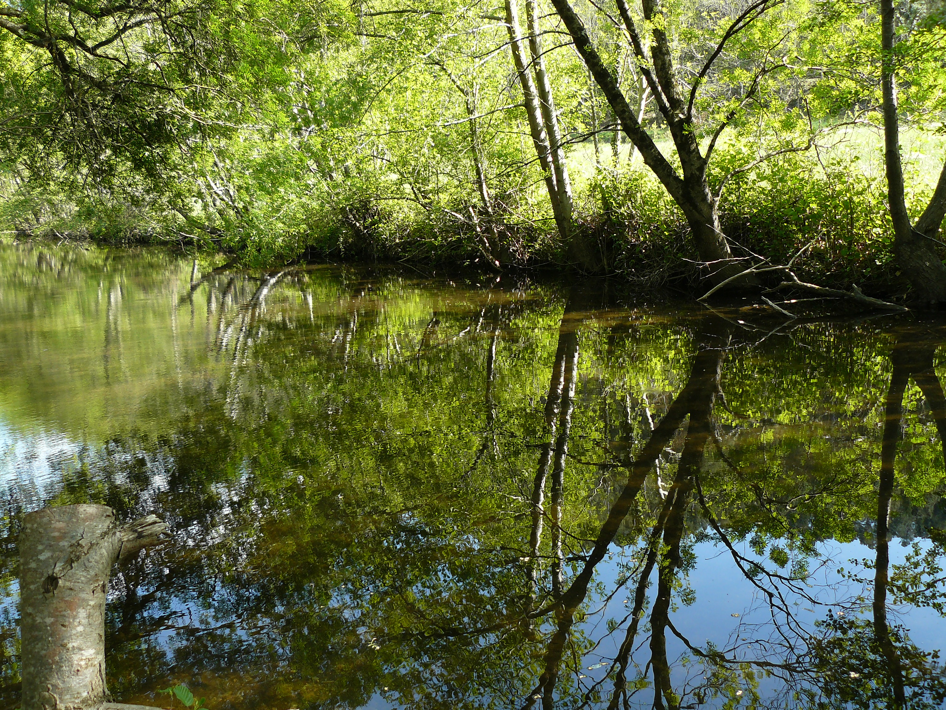
Gardonette (2)
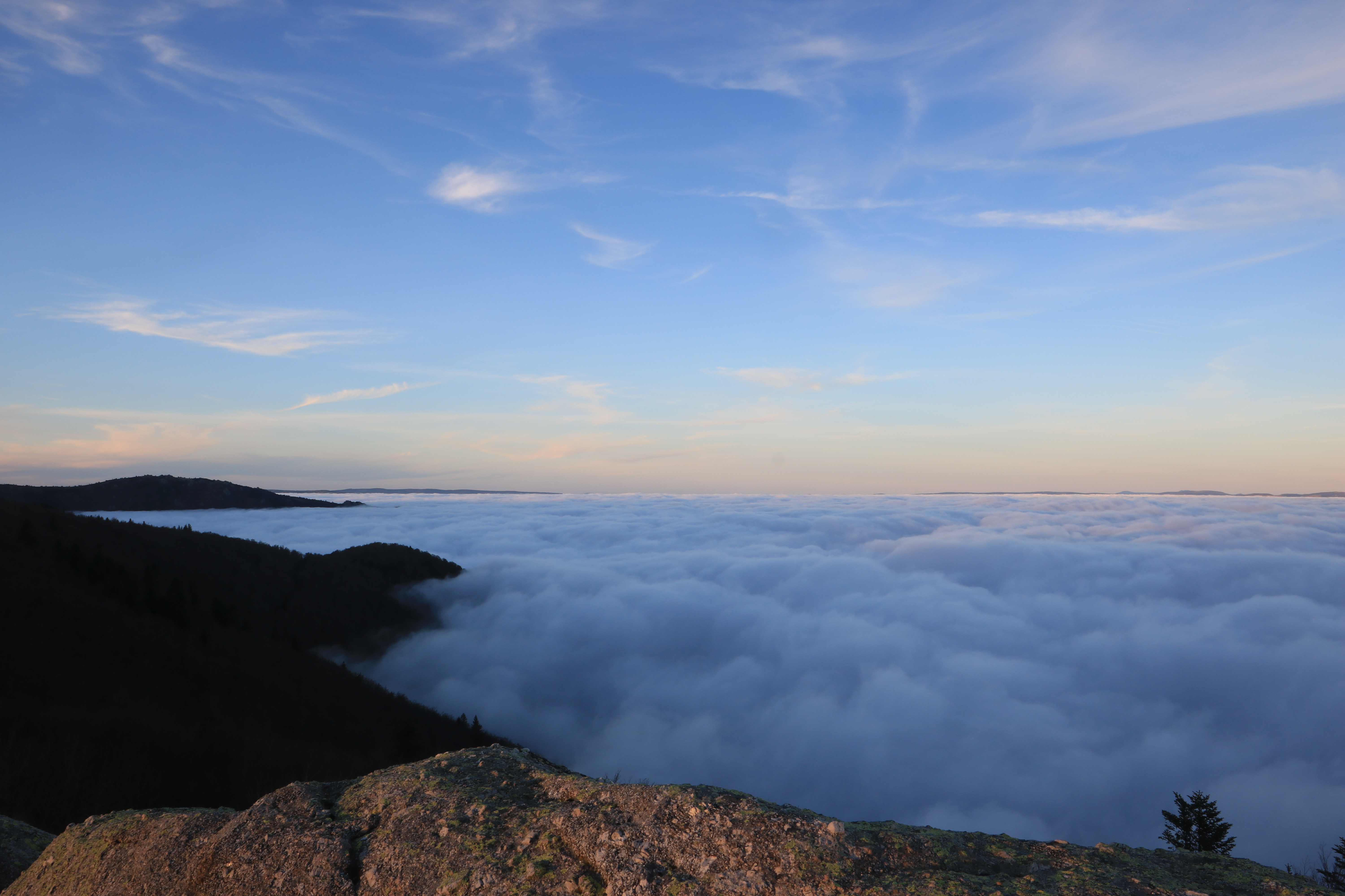
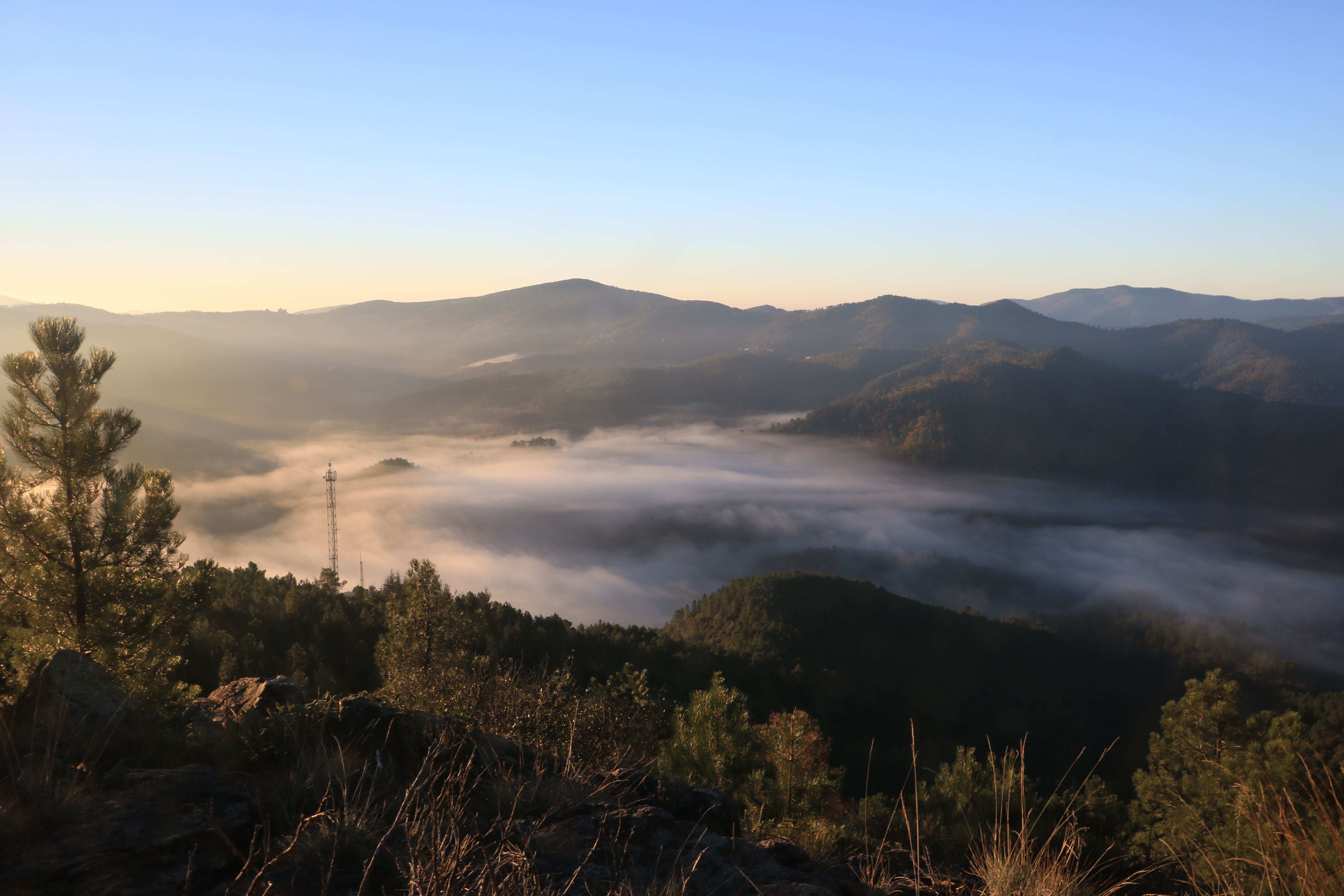
Mer de nuages / Sea of clouds

I met a white butterfly - #DH298 Post-traitement | Post-processing
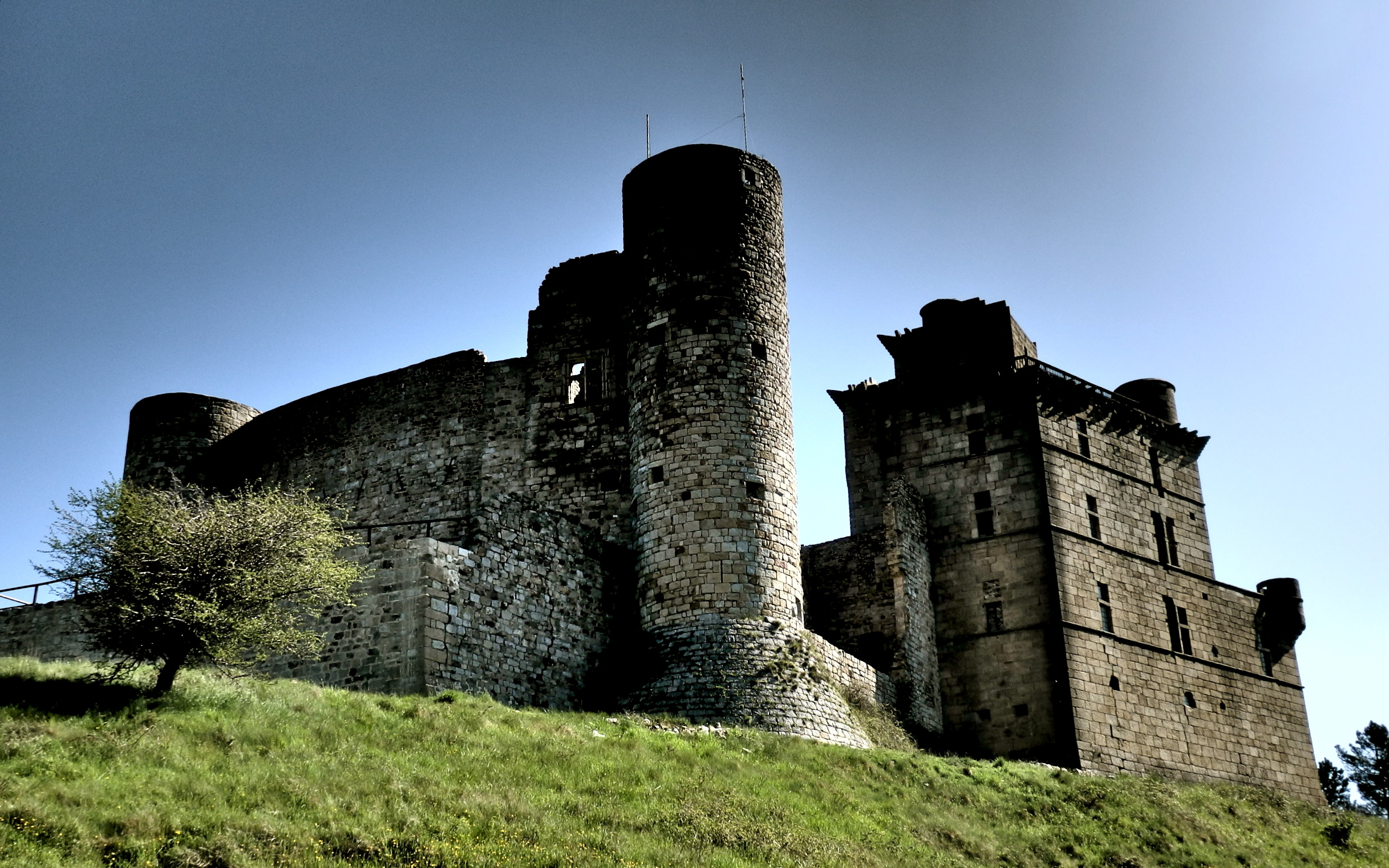
Dark and Foreboding - Château de Portes
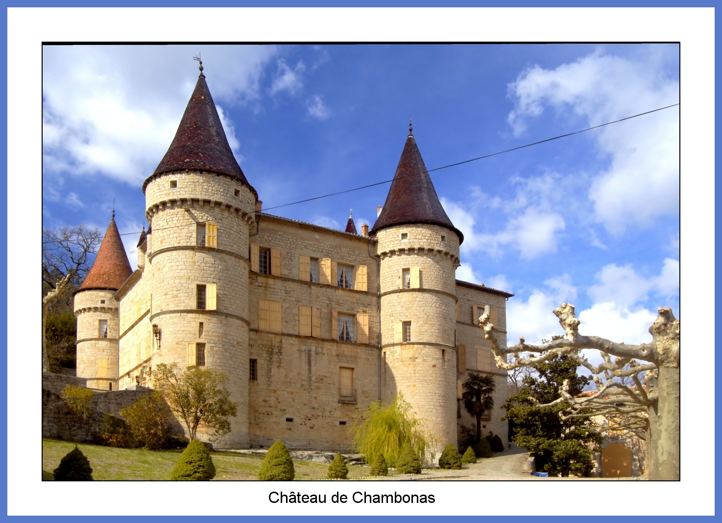
Schlösser der Ardèche (2)
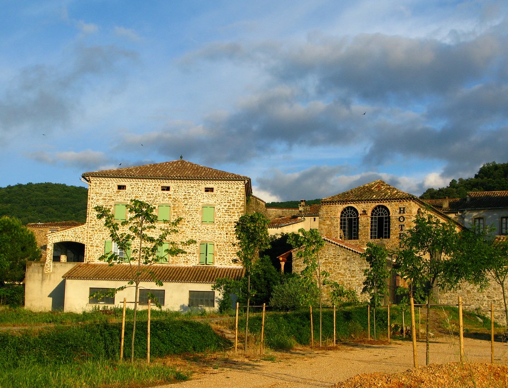
Larnac: hotel, summer morning

One last village. I had never been to Banne before, but shall return. It epitomizes what I like about small places in the south of Frenchland; a beautiful view, a cute little plaza, a quaint restaurant with red tables under the sycamore trees, a bocce cou
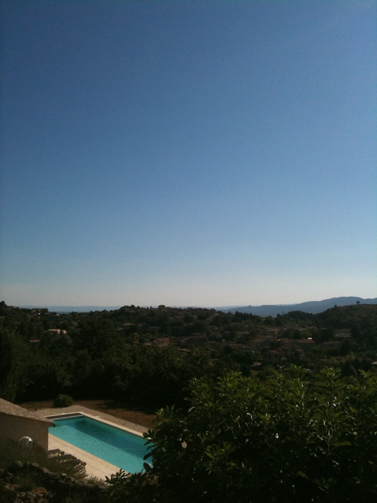
Swimming pool with a view

Alley Sky

Maria Sky
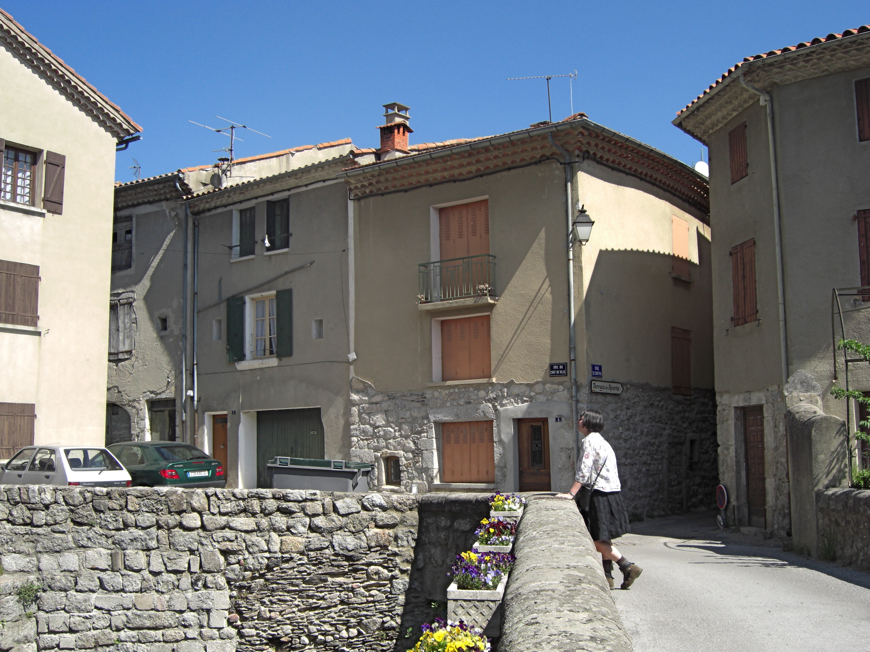
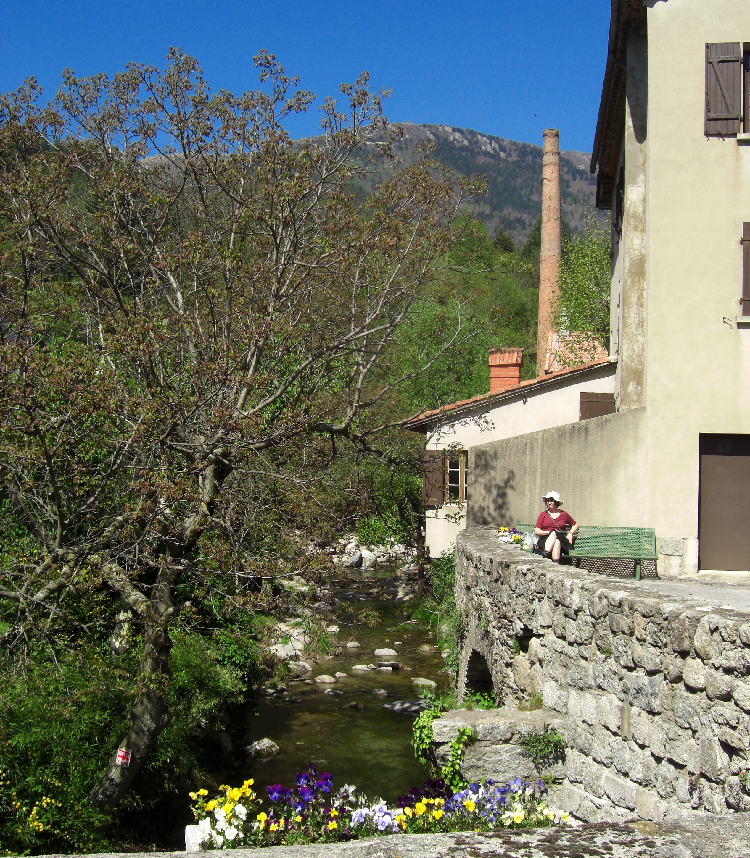
View from the bridge
MDM_2432.jpg
Gardonette (1)
MDM_2443.jpg
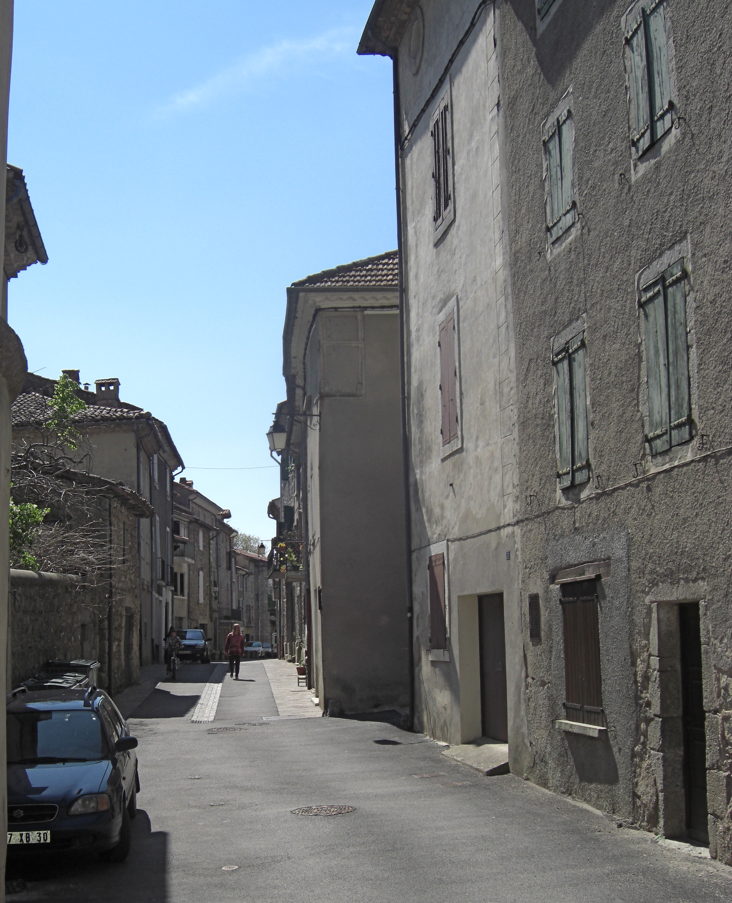
Grand high street
MDM_2440.jpg
MDM_2426.jpg
MDM_2447.jpg
MDM_2442.jpg
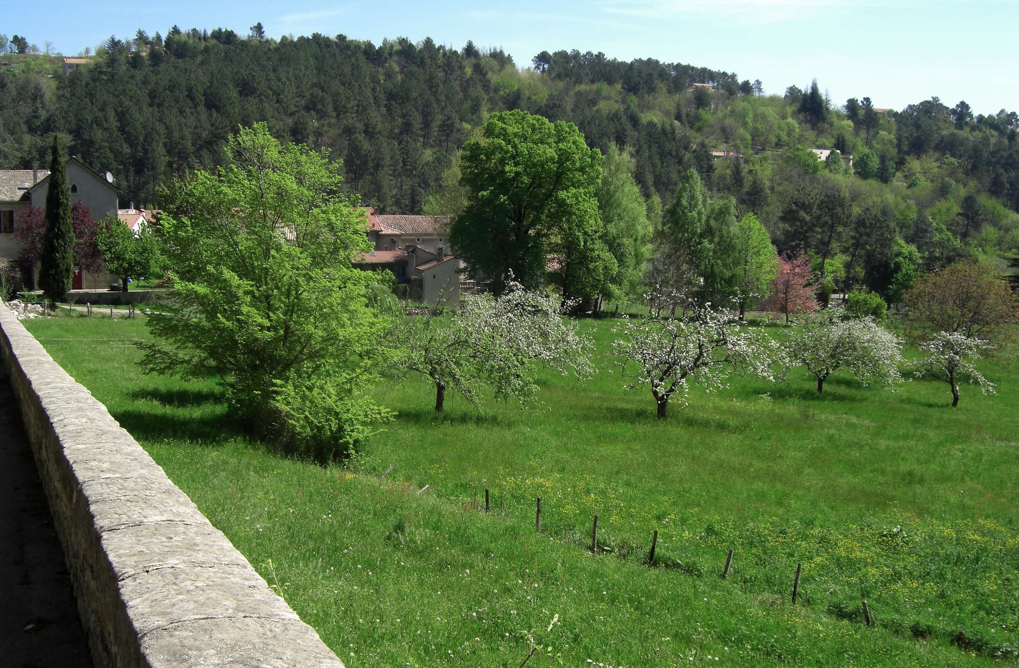
Génolhac meadows
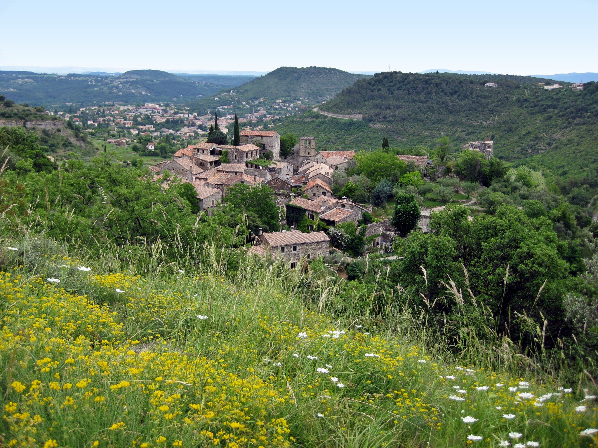
Saint-Ambroix: quiet corner
Vallée du Luech sous la brume.
Panorama Canigou 28 12 2016 2
Le Cros.
Matin cévenol.
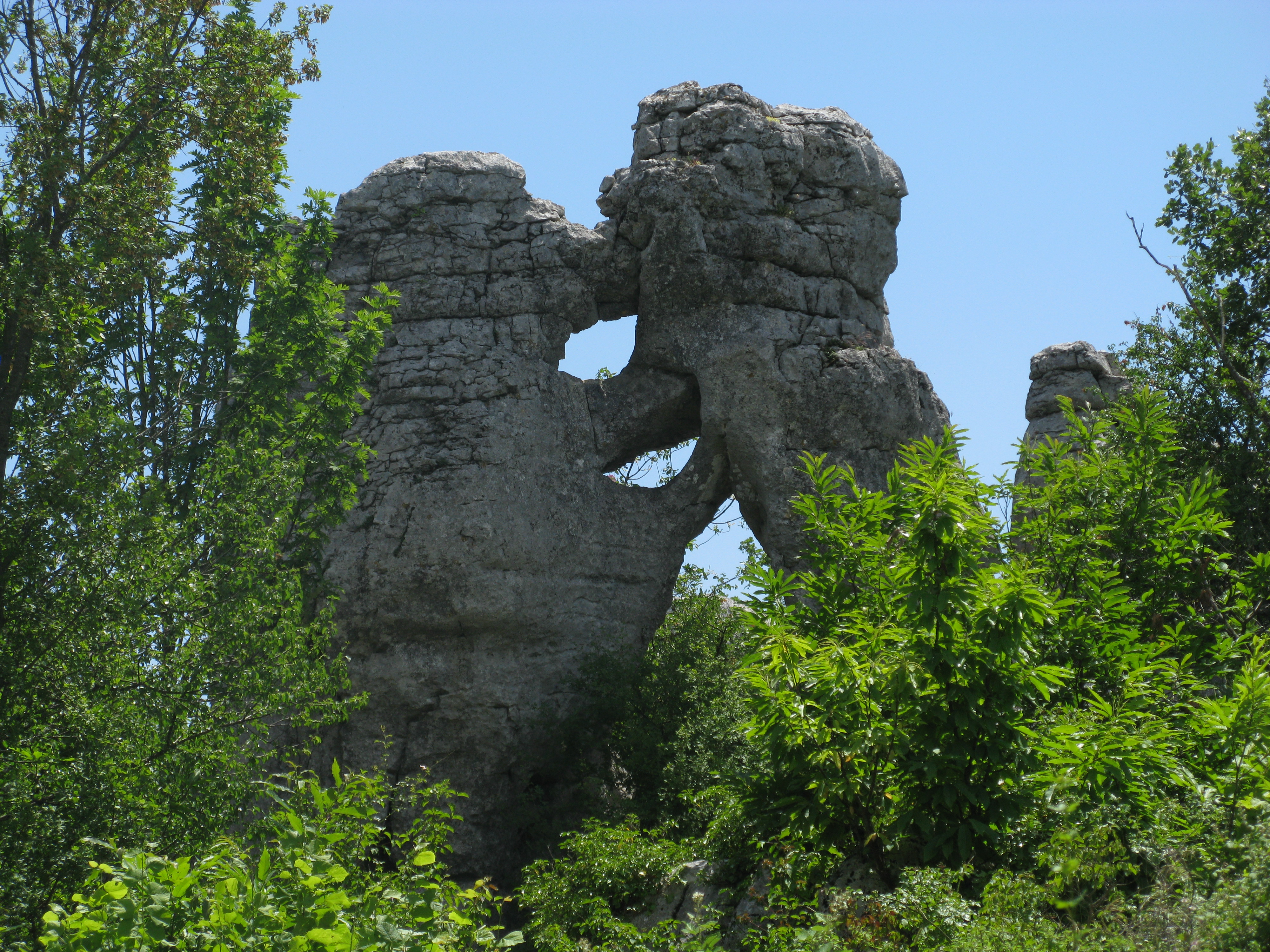
Le rocher de Trenze et le Castellas.
Figerolles.
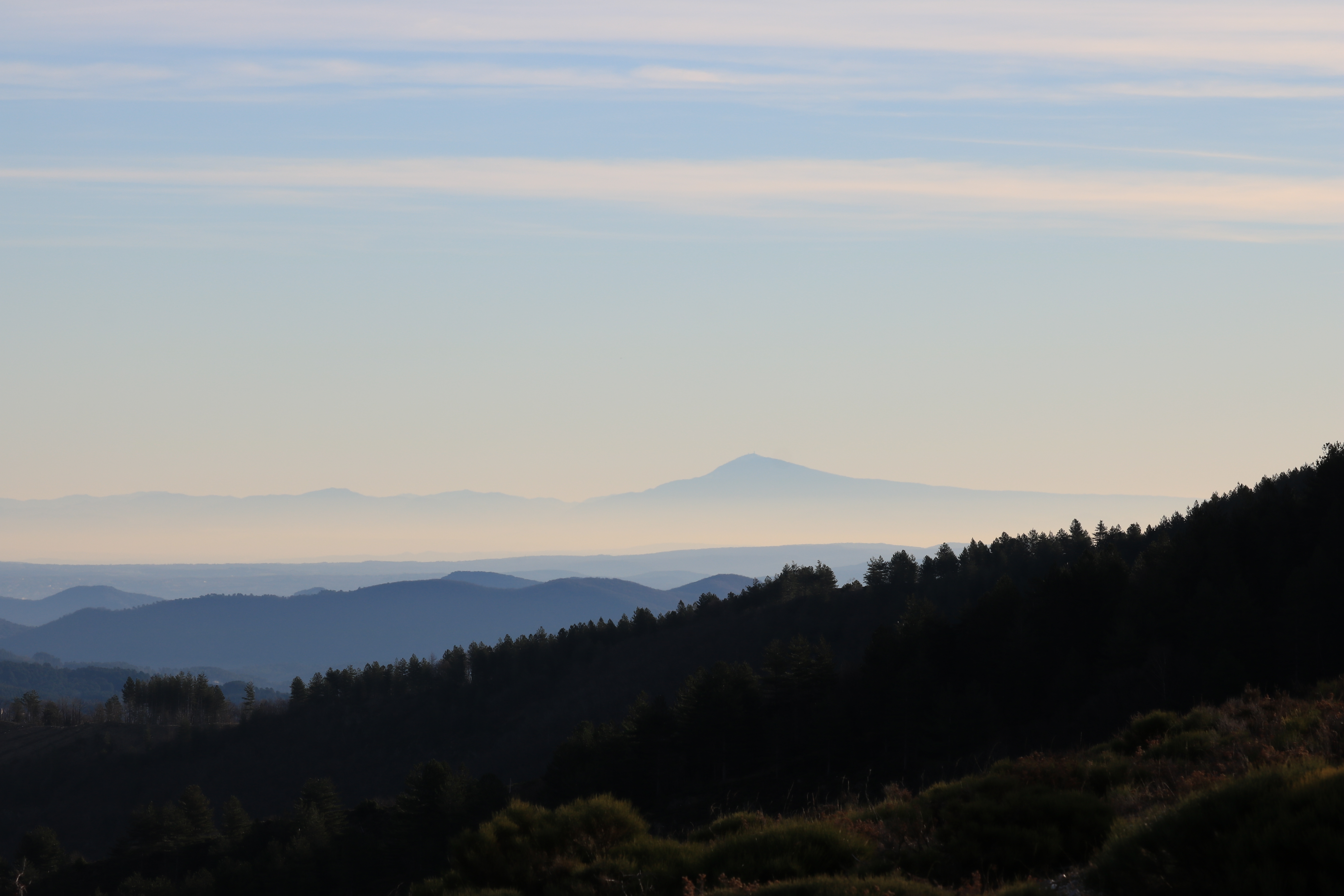
Le mont ventoux vu depuis le col de Banette.
Bedousses et les Alpes.
1 mai 2017.
Granit au levant.
Couleurs automnales
Pano vers le Tanargue 13 11 2015
Coucher de soleil sur les Cévennes
L'Homol.
Nuage delta
Les rives de L' Homol. Genolhac. Gard
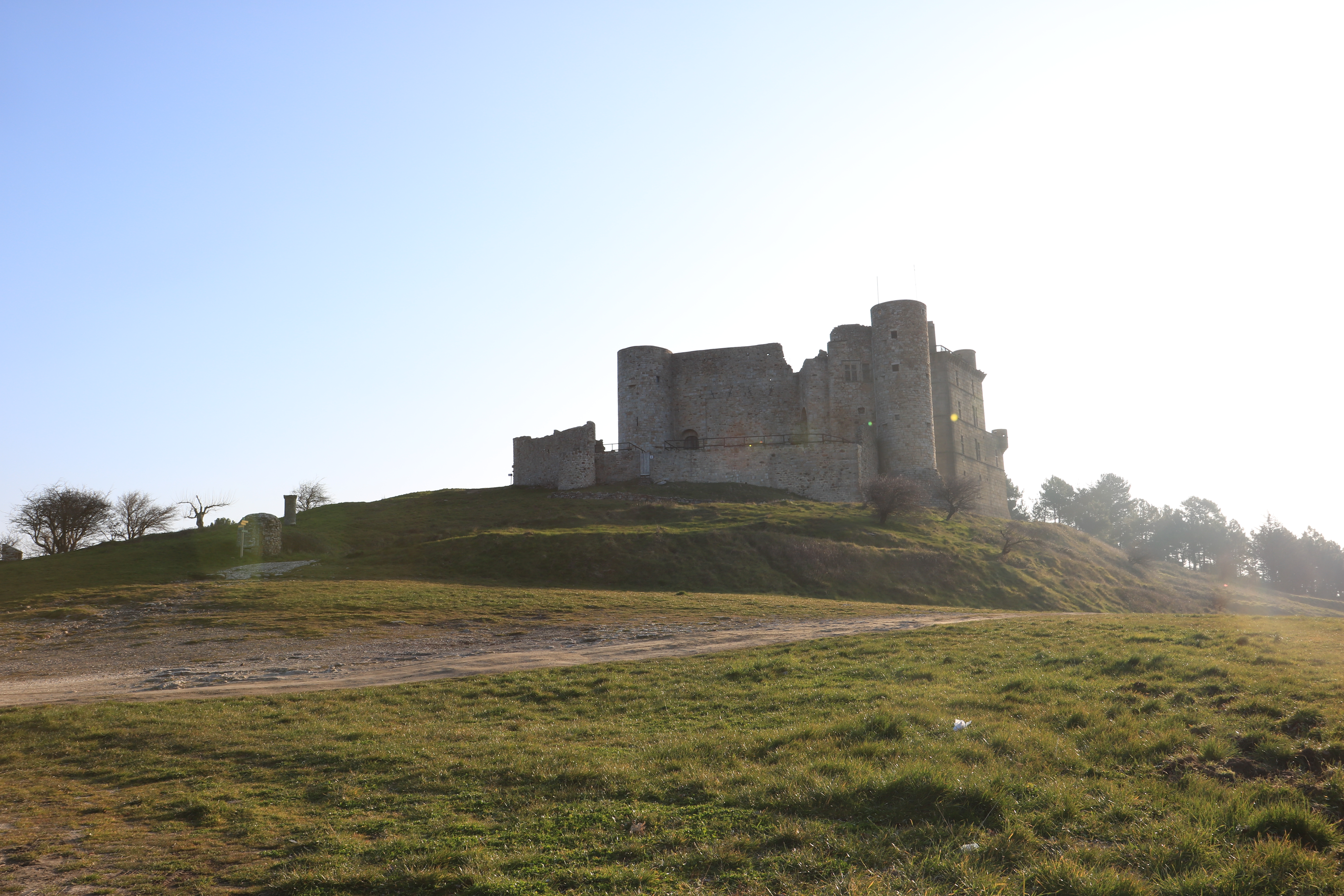
Le chateau de Portes.
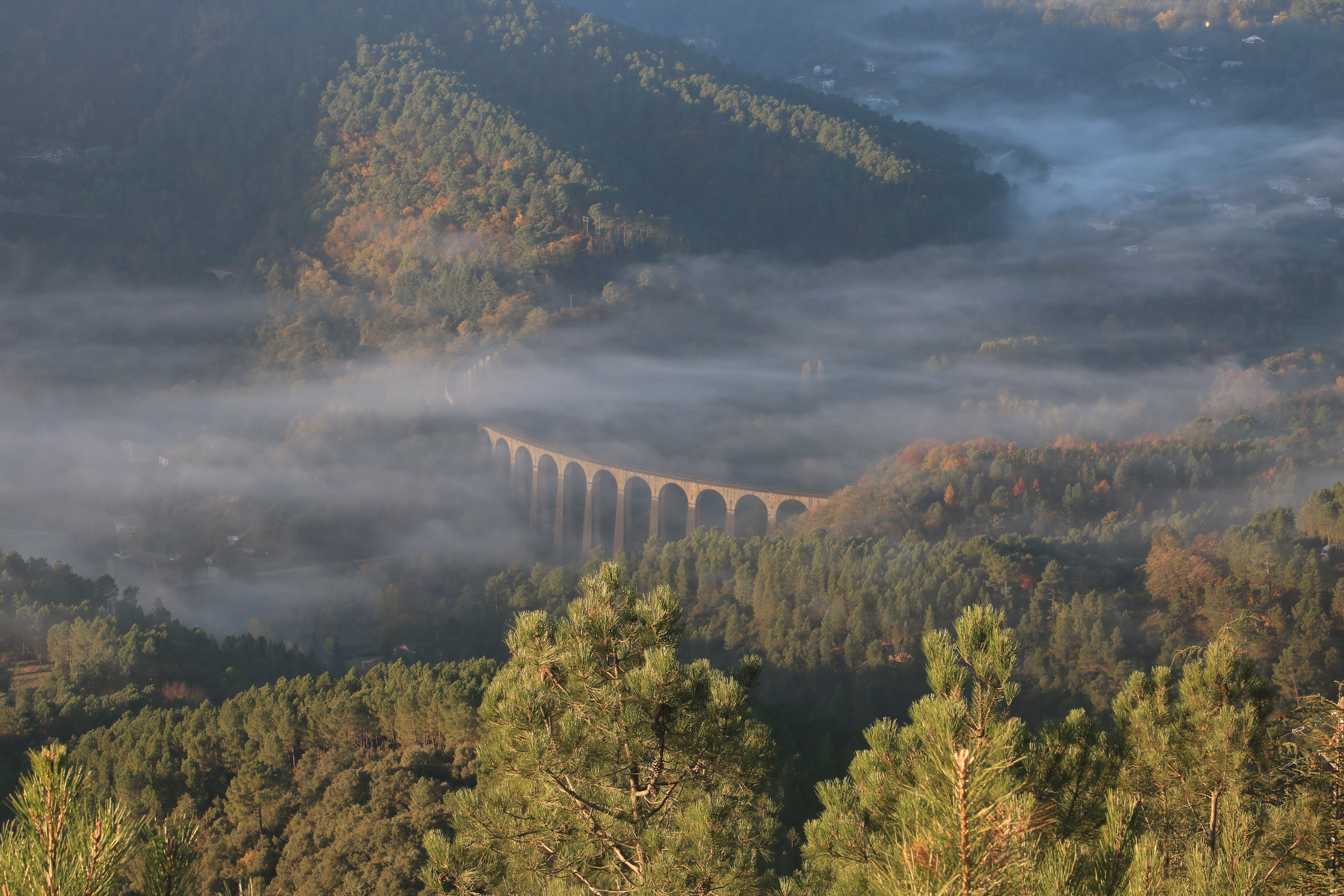
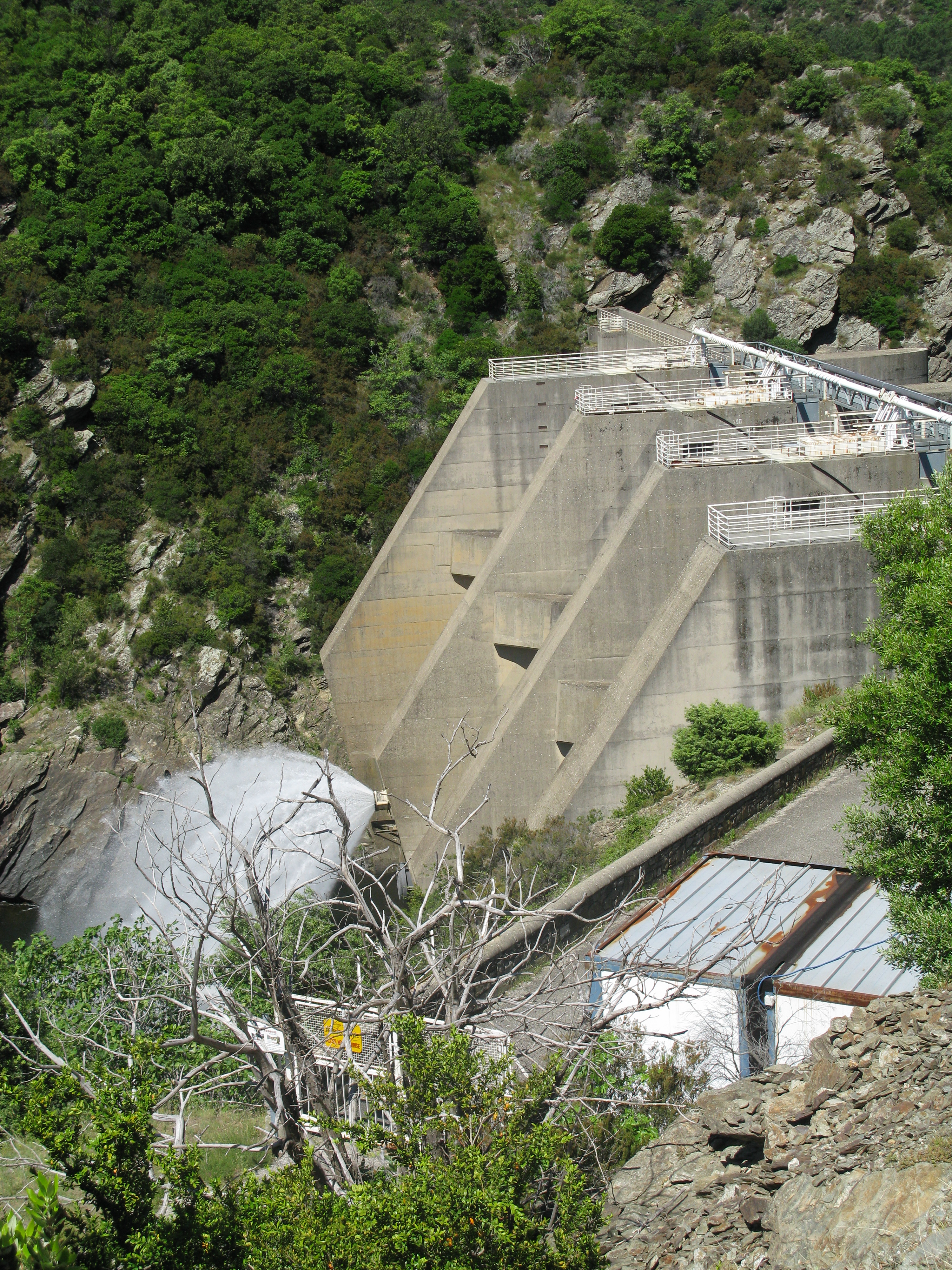
Viaduc de Chamborigaud.
Naves / Les Vans
Topographic Map of Peyremale, France
Find elevation by address:

Places near Peyremale, France:
Malbosc
20 Jean-Pierre Chabrol, Génolhac, France
Les Salles-du-gardon
18 Rue d'Alger, Les Salles-du-Gardon, France
12 Le Gras O, Les Vans, France
Génolhac
Les Vans
14 La Tour, Les Salles-du-Gardon, France
Lamelouze
20 Les Appens, Lamelouze, France
Berrias-et-casteljau
Alès
22 Le Temple, Saint-Paul-la-Coste, France
Saint-paul-la-coste
New Clinic Bonnefon
14 Chemin Paul Courtin, Saint-Hilaire-de-Brethmas, France
Méjannes-lès-alès
Lablachère
1 La Jaujon, Lablachère, France
Saint-hilaire-de-brethmas
Recent Searches:
- Elevation of Zu den Ihlowbergen, Althüttendorf, Germany
- Elevation of Badaber, Peshawar, Khyber Pakhtunkhwa, Pakistan
- Elevation of SE Heron Loop, Lincoln City, OR, USA
- Elevation of Slanický ostrov, 01 Námestovo, Slovakia
- Elevation of Spaceport America, Co Rd A, Truth or Consequences, NM, USA
- Elevation of Warwick, RI, USA
- Elevation of Fern Rd, Whitmore, CA, USA
- Elevation of 62 Abbey St, Marshfield, MA, USA
- Elevation of Fernwood, Bradenton, FL, USA
- Elevation of Felindre, Swansea SA5 7LU, UK