Elevation of Peter Strides Pond, Division No. 3, Subd. D, NL A0N, Canada
Location: Canada > Newfoundland And Labrador > Division No. 3 > Division No. 3, Subd. D >
Longitude: -57.659137
Latitude: 48.1811046
Elevation: 350m / 1148feet
Barometric Pressure: 97KPa
Elevation Map:
Satellite Map:
Related Photos:
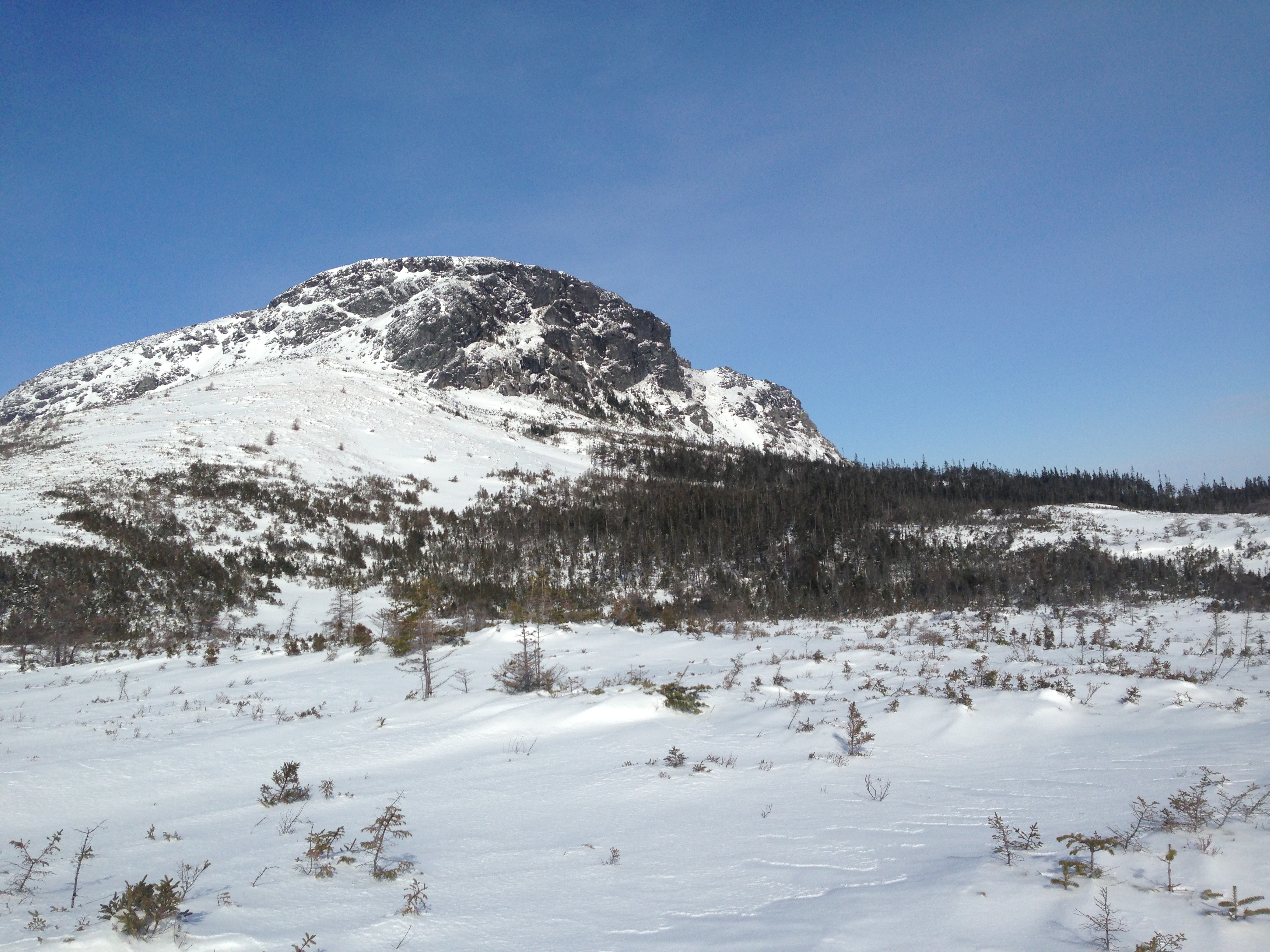
Pot hill, located between Top Pond and White Bear River. Newfoundland.
Topographic Map of Peter Strides Pond, Division No. 3, Subd. D, NL A0N, Canada
Find elevation by address:

Places near Peter Strides Pond, Division No. 3, Subd. D, NL A0N, Canada:
Division No. 4, Subd. C
Watsons Pond
Marble Mountain
Massey Drive
Grenfell Campus
Humber Village
13 Brookfield Ave
Lundrigan Drive
16 Union St
Corner Brook
Murphy Square
22 Burtons Rd
22 Hillcrest Rd
Hillcrest Road
26 Caribou Rd
Division No. 5, Subd. F
Georgetown Rd, Corner Brook, NL A2H 3X1, Canada
Saint George's
Stephenville Crossing
25 Hayes Ln, Saint George's, NL A0N 1Z0, Canada
Recent Searches:
- Elevation of Erika Dr, Windsor, CA, USA
- Elevation of Village Ln, Finleyville, PA, USA
- Elevation of 24 Oakland Rd #, Scotland, ON N0E 1R0, Canada
- Elevation of Deep Gap Farm Rd E, Mill Spring, NC, USA
- Elevation of Dog Leg Dr, Minden, NV, USA
- Elevation of Dog Leg Dr, Minden, NV, USA
- Elevation of Kambingan Sa Pansol Atbp., Purok 7 Pansol, Candaba, Pampanga, Philippines
- Elevation of Pinewood Dr, New Bern, NC, USA
- Elevation of Mountain View, CA, USA
- Elevation of Foligno, Province of Perugia, Italy