Elevation of Petenwell Lake, Wisconsin, USA
Location: United States > Wisconsin > Juneau County > Armenia >
Longitude: -89.972013
Latitude: 44.143539
Elevation: 281m / 922feet
Barometric Pressure: 98KPa
Elevation Map:
Satellite Map:
Related Photos:
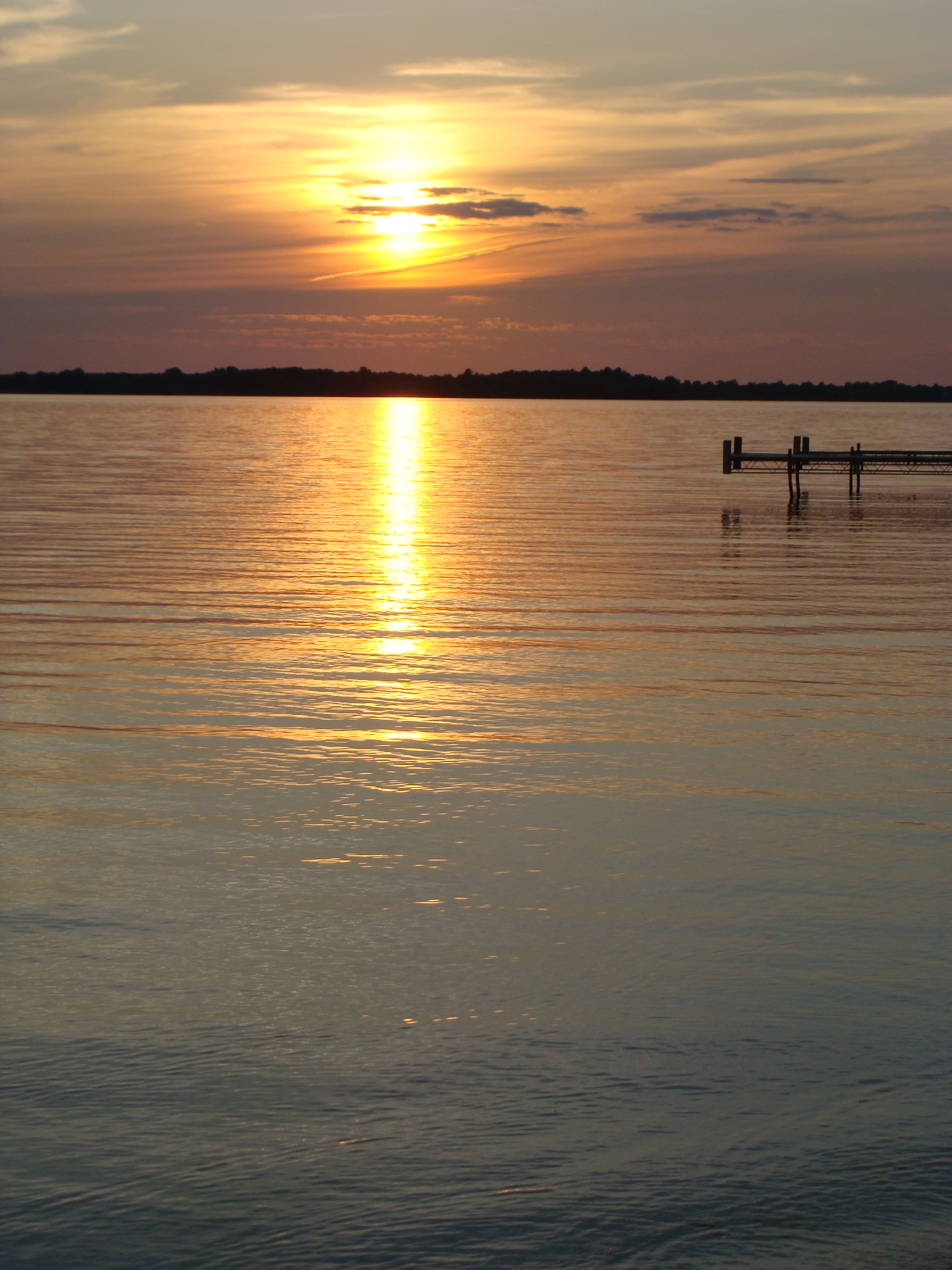
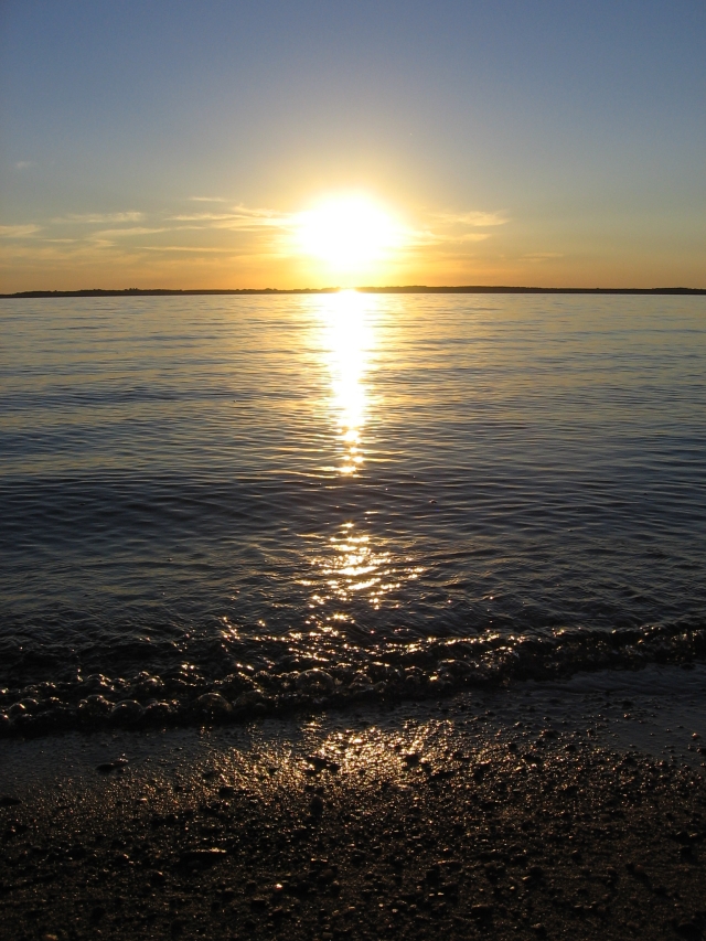
Sunset over Lake Petenwell
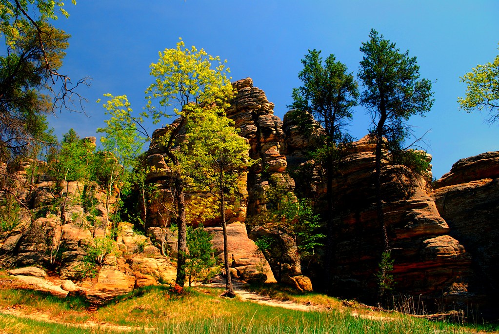
Rabbit Rock 2
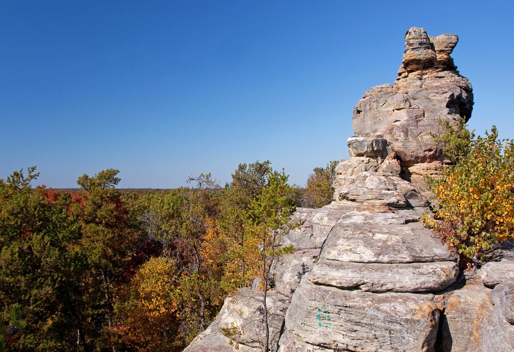
Rabbit Rock

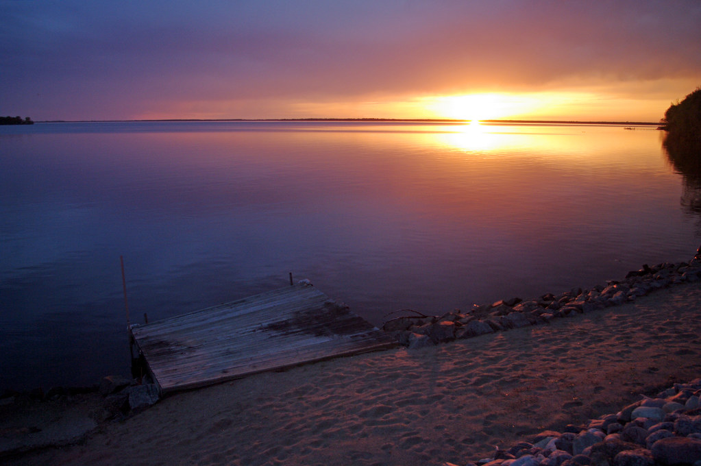
Sunset over Lake Petenwell
Adams, WI 2008 41

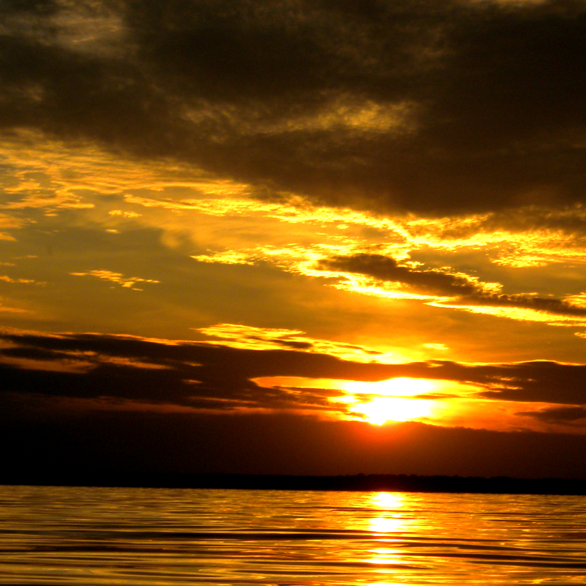
Sunset over Lake Petenwell

Adams, WI 2008 34
beach sunset
Sunset, rural Wisconsin
Wisconsin sunset
Lake Arrowhead
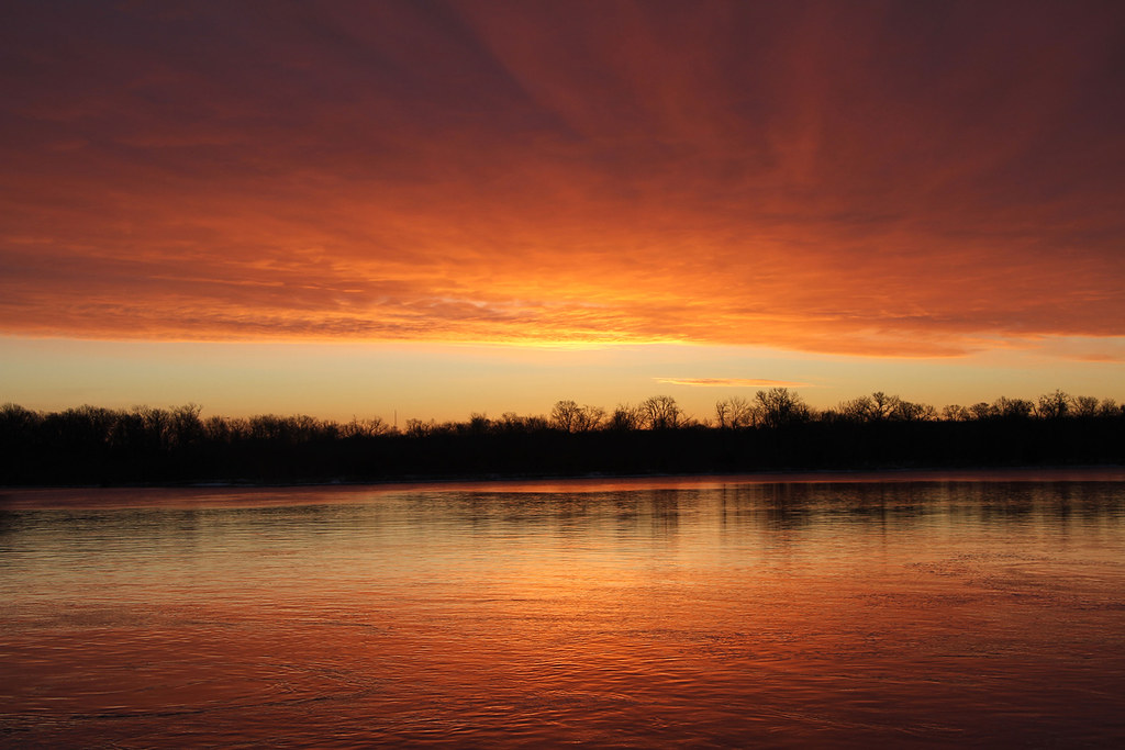
Sunrise at Petenwell Dam

Queen of the Holy Rosary

Arkdale Barn at Sunset
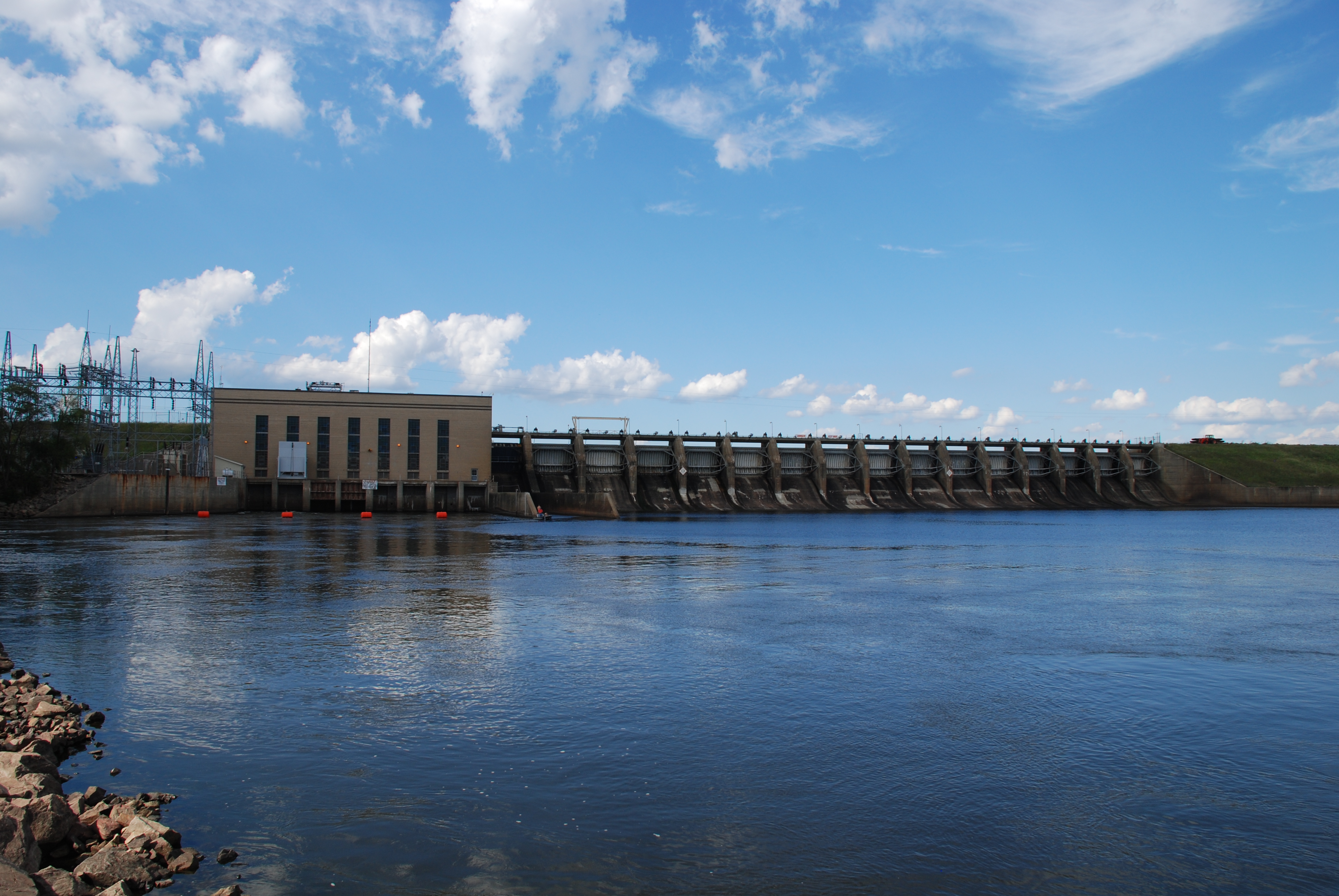
Petenwell Powerhouse and Dam
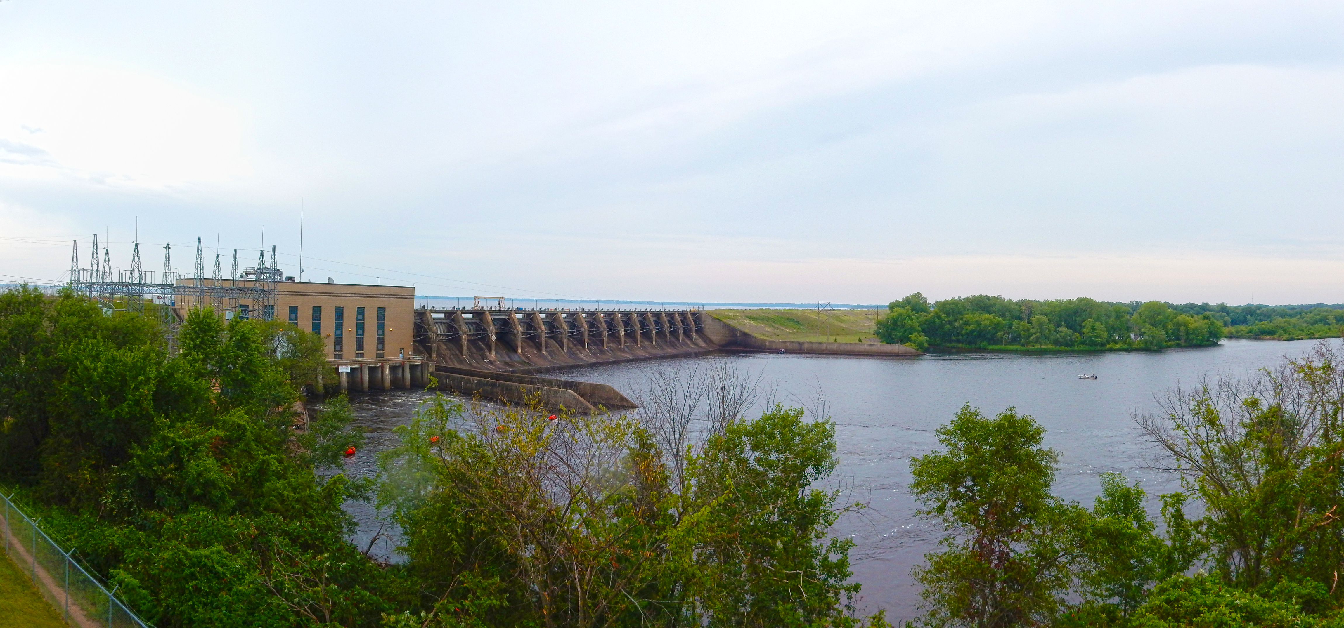
07-24-2015 Ride - Petenwell Dam
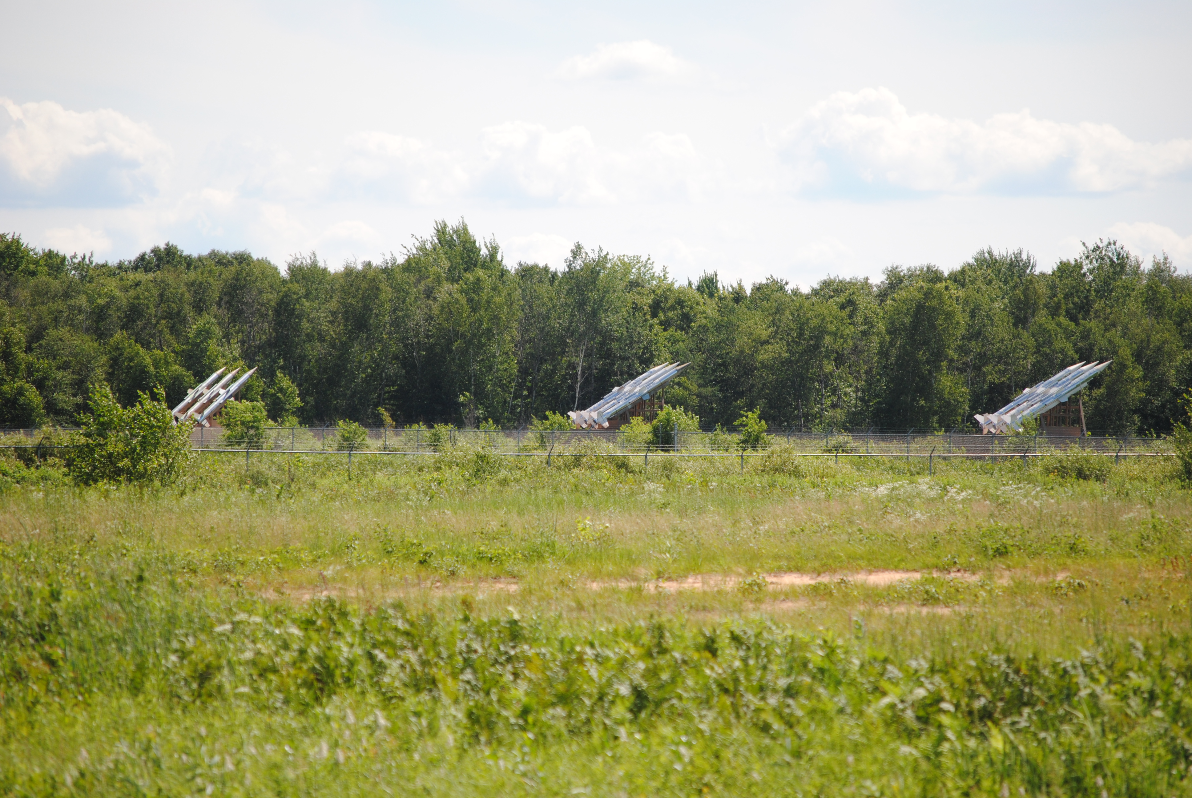
3 SAM launchers

07-24-2015 Ride - Petenwell Dam
Topographic Map of Petenwell Lake, Wisconsin, USA
Find elevation by address:

Places near Petenwell Lake, Wisconsin, USA:
N14619 N Porter Rd
Monroe
6th St E, Nekoosa, WI, USA
Badger Ct, Arkdale, WI, USA
1396 Brown Deer Ave
1347 Brown Deer Ave
1332 Brown Deer Ave
1329 Brown Deer Ave
1322 Brown Deer Ave
1319 Brown Deer Ave
Deerpath Rd, Arkdale, WI, USA
1303 Brown Deer Ave
1109 13th Ave
1194 Brown Deer Ave
1088 13th Ave
Rome
1181 Brown Deer Ave
1175 13th Ave
1179 Brown Deer Ave
1121 State Hwy 13
Recent Searches:
- Elevation of Corso Fratelli Cairoli, 35, Macerata MC, Italy
- Elevation of Tallevast Rd, Sarasota, FL, USA
- Elevation of 4th St E, Sonoma, CA, USA
- Elevation of Black Hollow Rd, Pennsdale, PA, USA
- Elevation of Oakland Ave, Williamsport, PA, USA
- Elevation of Pedrógão Grande, Portugal
- Elevation of Klee Dr, Martinsburg, WV, USA
- Elevation of Via Roma, Pieranica CR, Italy
- Elevation of Tavkvetili Mountain, Georgia
- Elevation of Hartfords Bluff Cir, Mt Pleasant, SC, USA