Elevation of Monroe, WI, USA
Location: United States > Wisconsin > Adams County >
Longitude: -89.944006
Latitude: 44.1150276
Elevation: 299m / 981feet
Barometric Pressure: 98KPa
Elevation Map:
Satellite Map:
Related Photos:

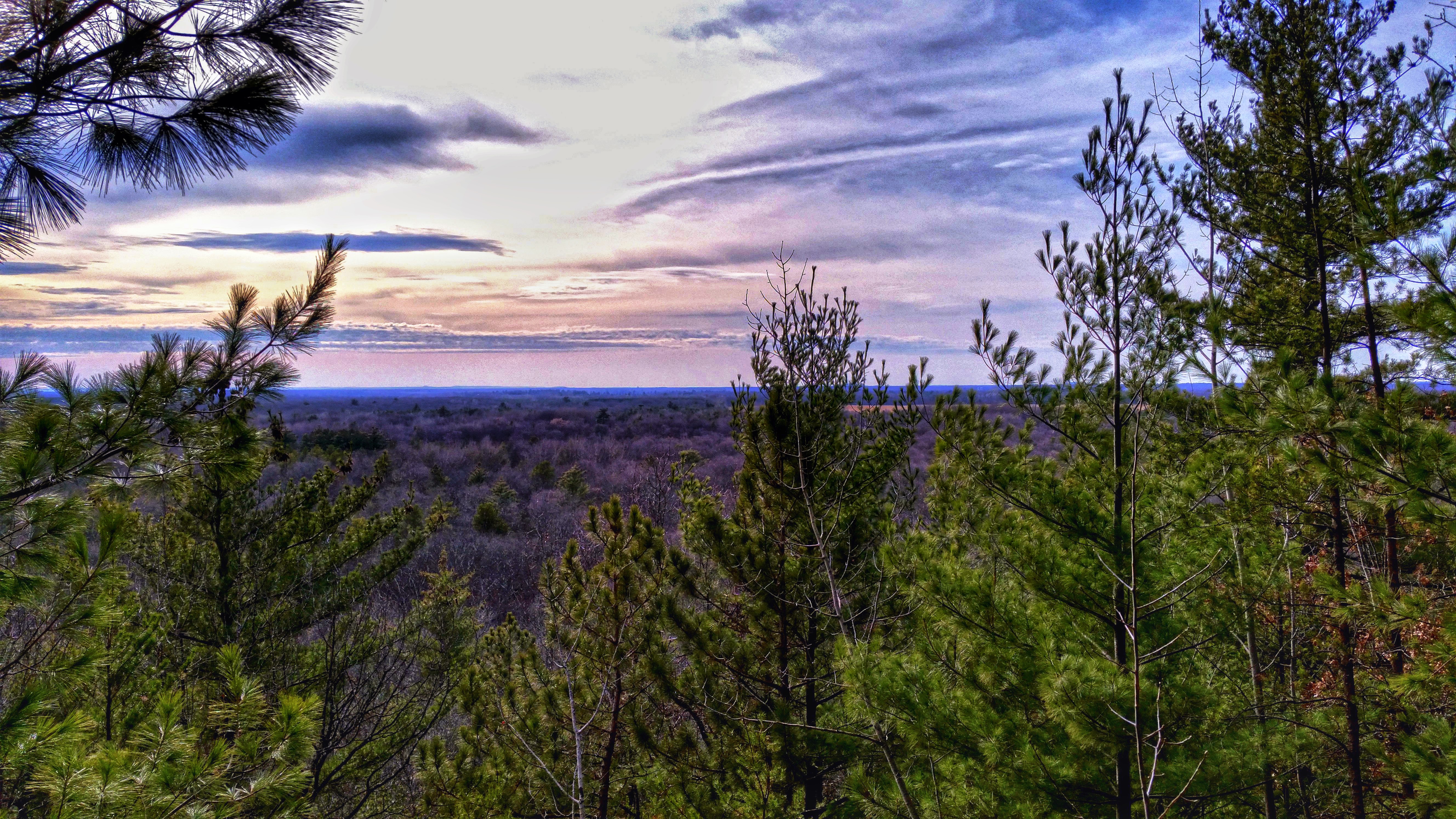
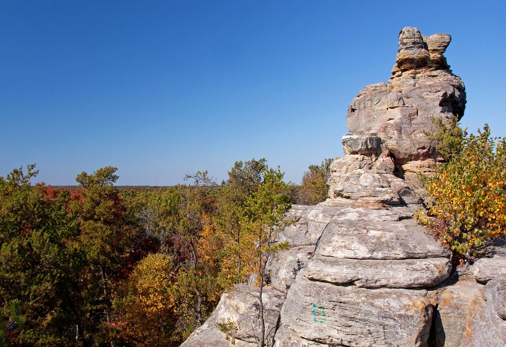
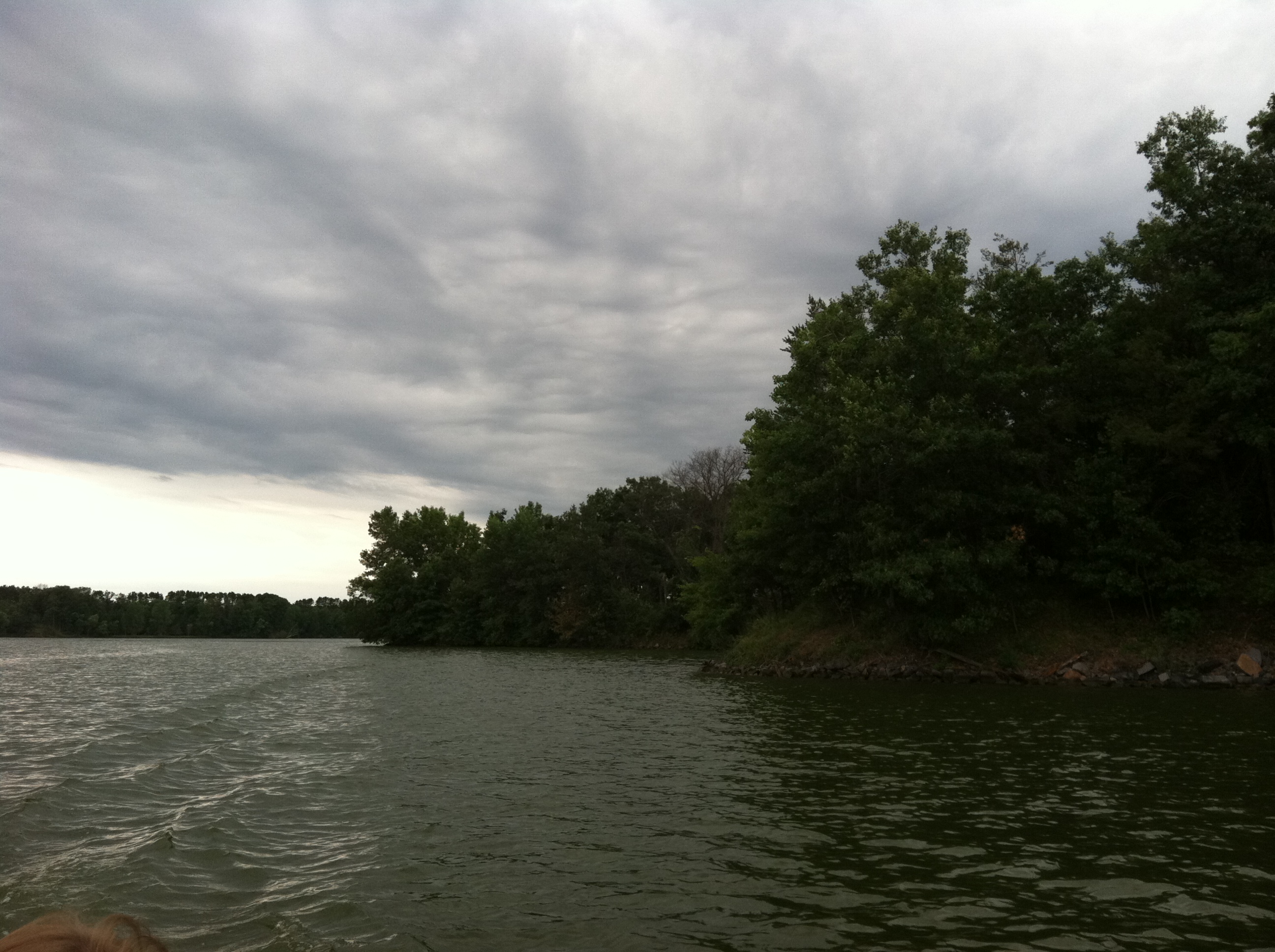
View from Roche-A-Cri Mound
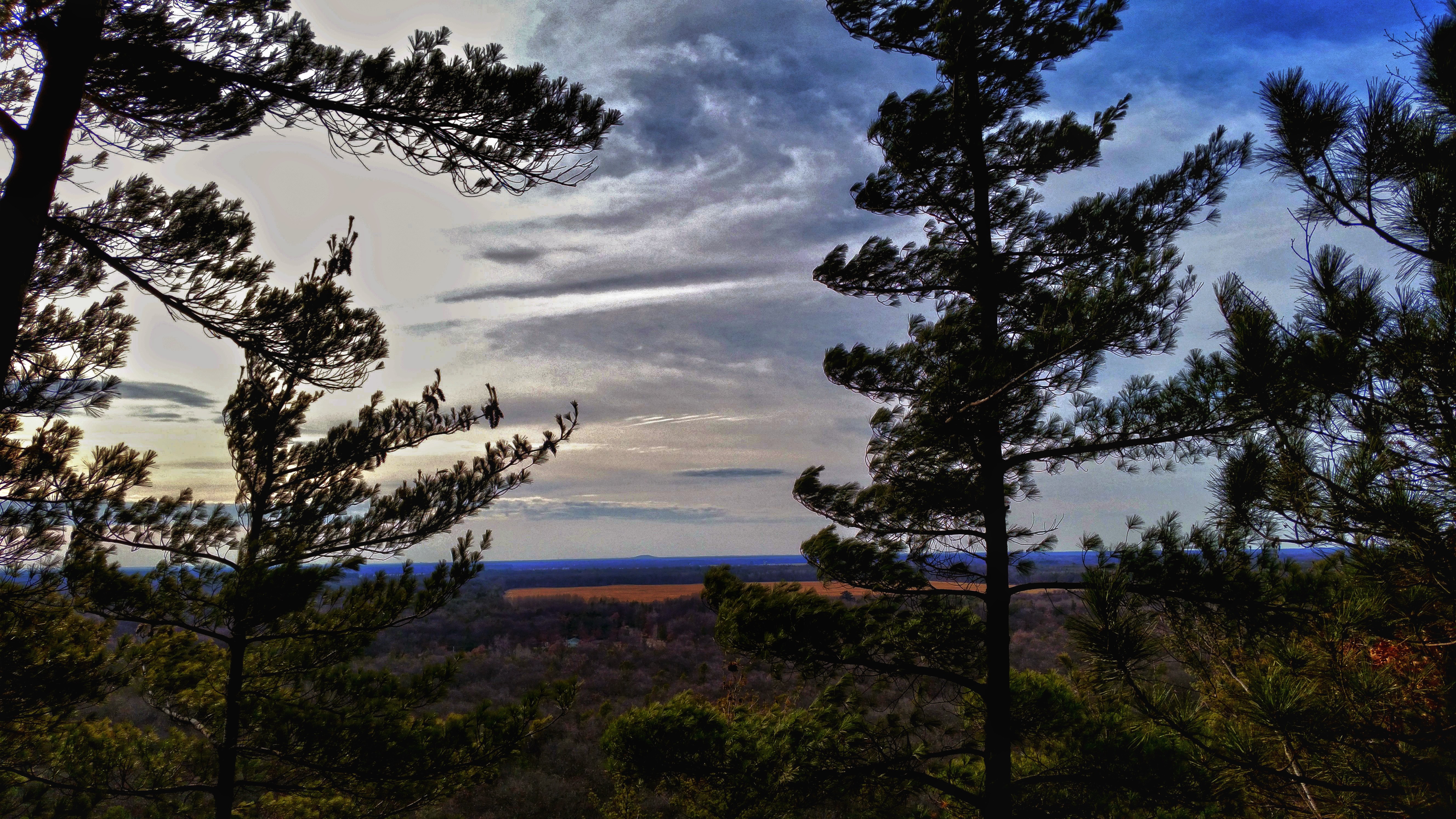
View from Roche-A-Cri Mound
View from Roche-A-Cri Mound

View from the Top of Roche-A-Cri Mound
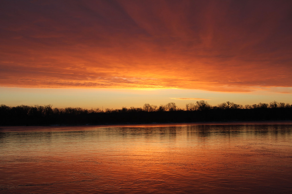
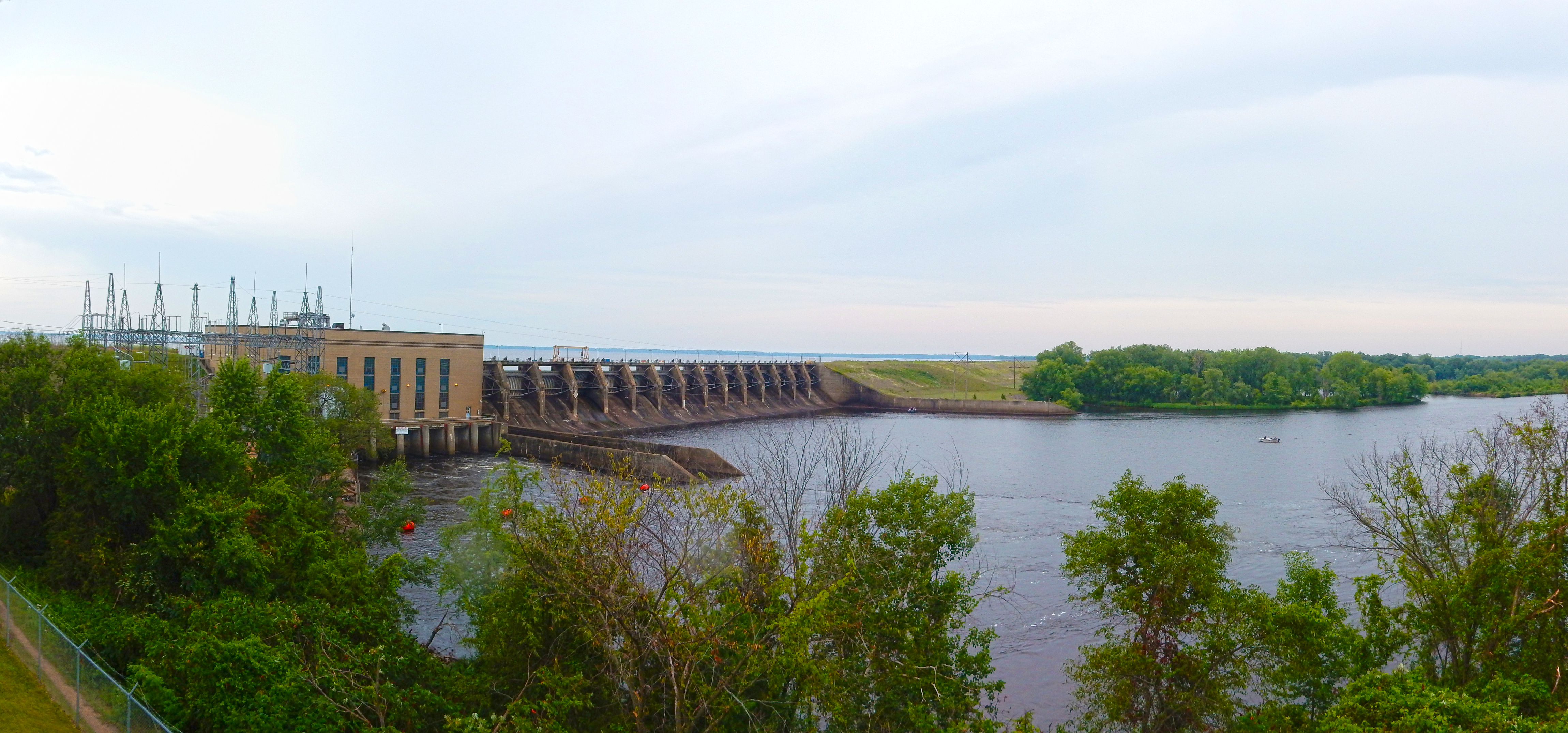
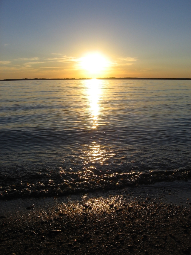
Sunrise at Petenwell Dam
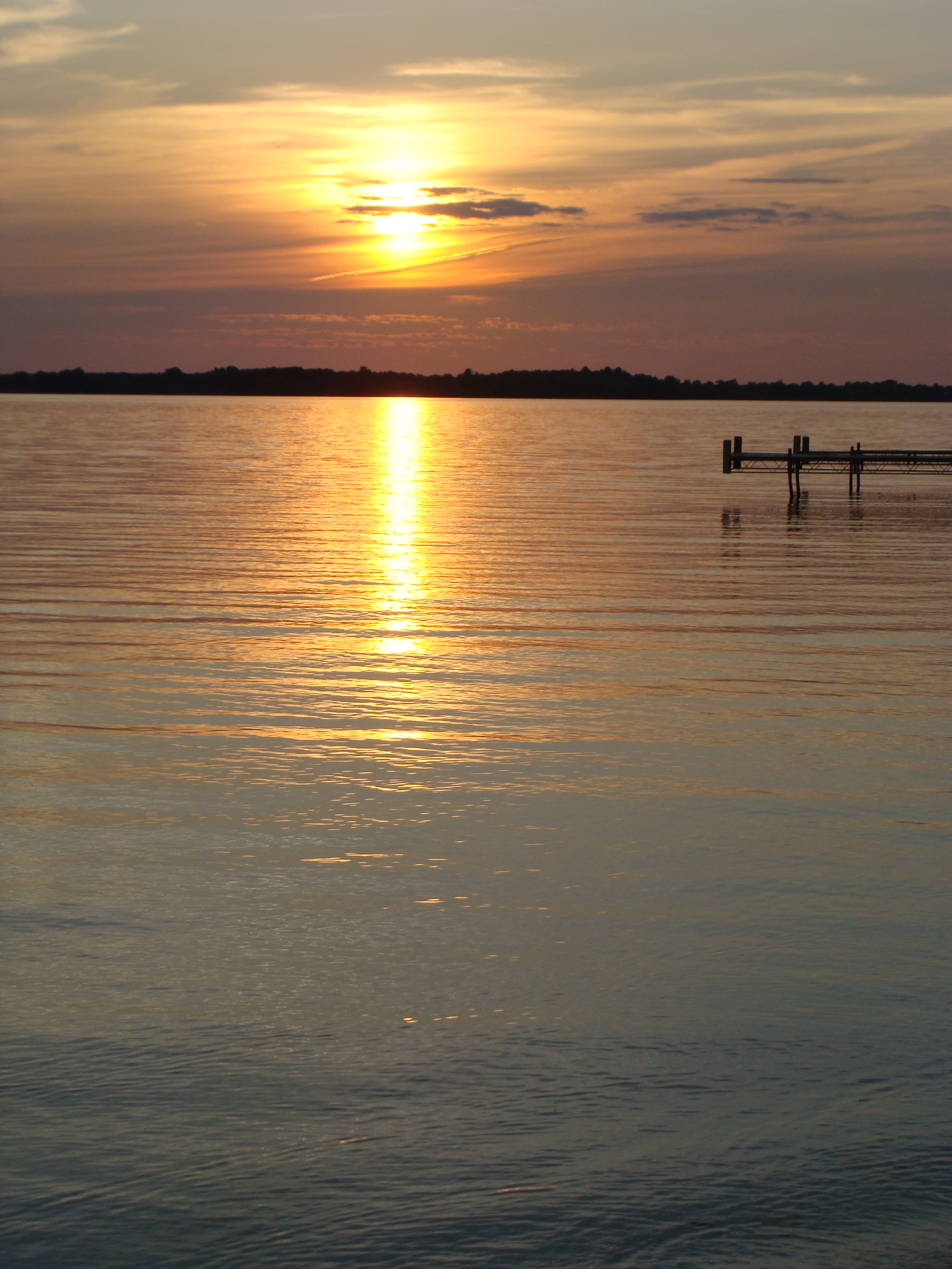
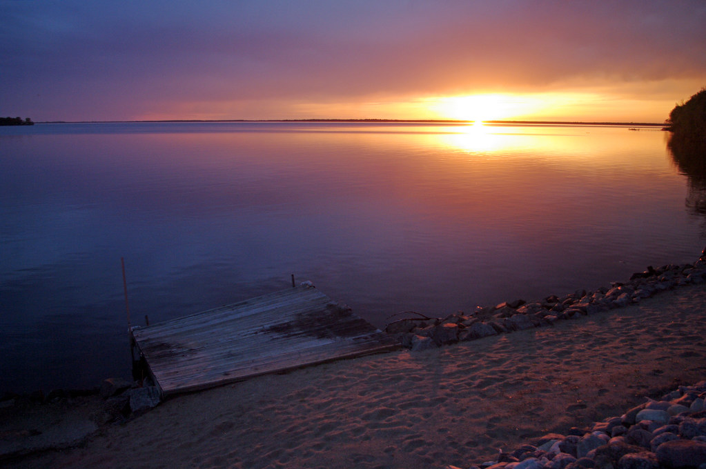
Sunset over Lake Petenwell

Wisconsin sunset
Rabbit Rock 2
Rabbit Rock

Sunset over Lake Petenwell
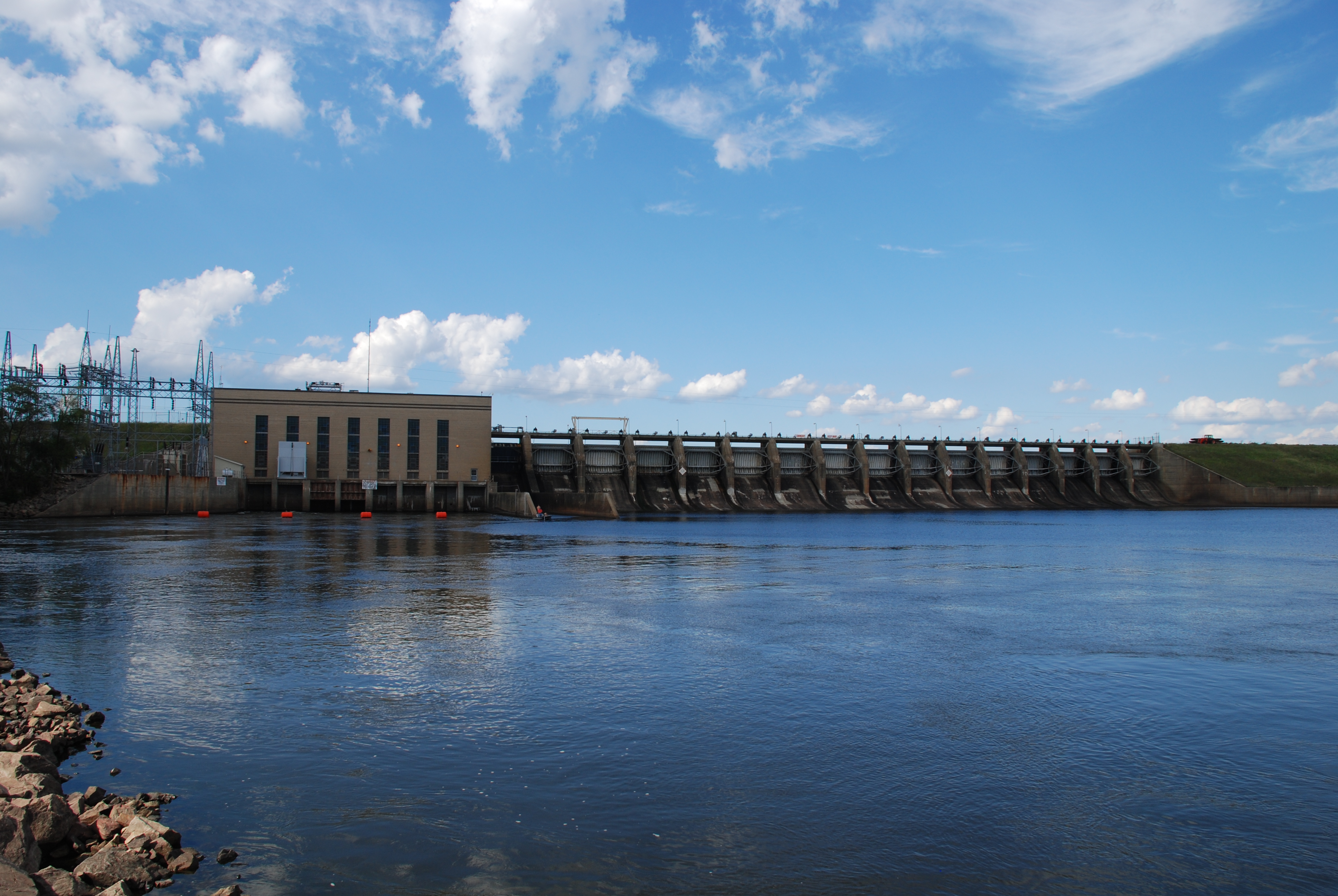
07-24-2015 Ride - Petenwell Dam
Petenwell Powerhouse and Dam
Adams, WI 2008 41

Sunset over Lake Petenwell

Arkdale Barn at Sunset

Adams, WI 2008 34
Lake Arrowhead
beach sunset

07-24-2015 Ride - Petenwell Dam
Sunset, rural Wisconsin

Queen of the Holy Rosary
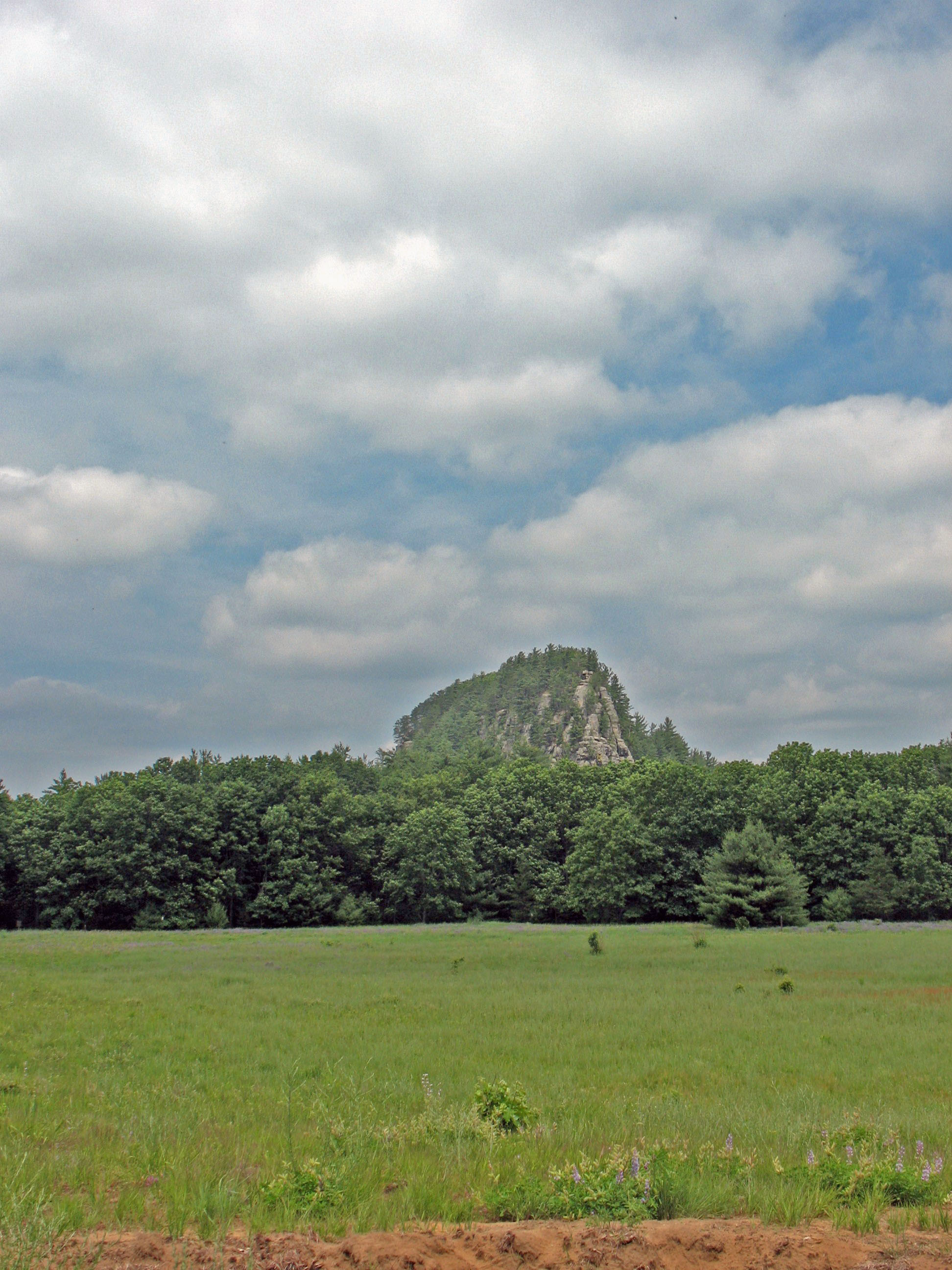
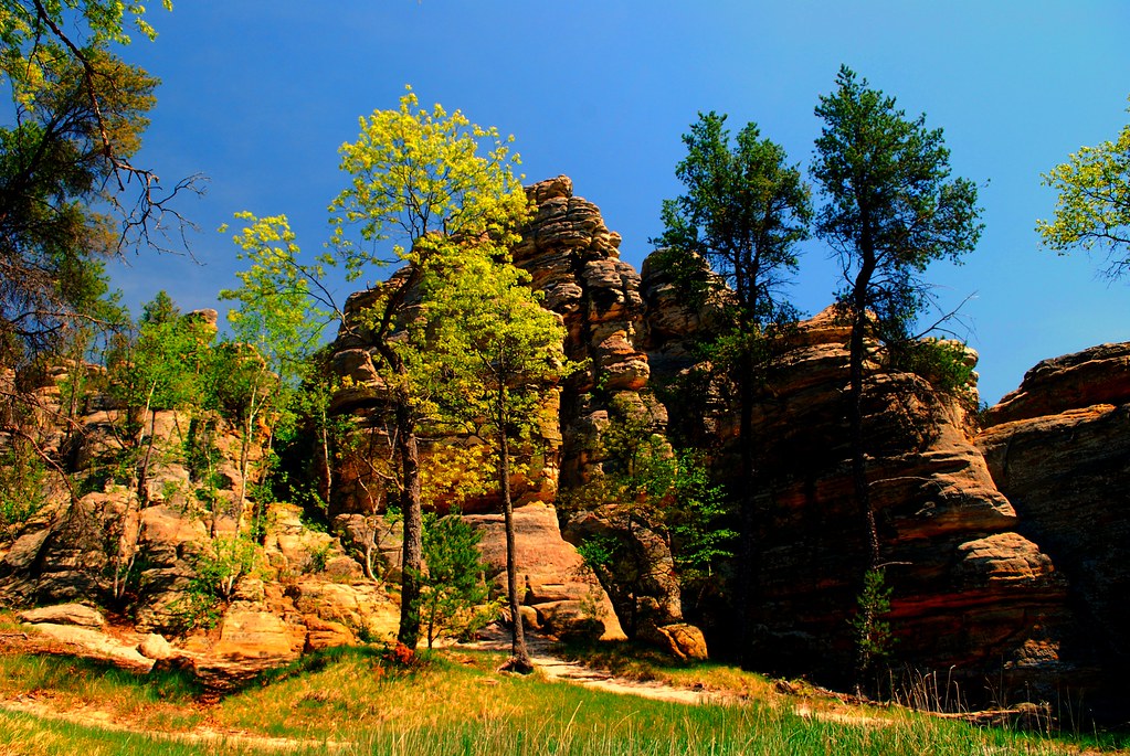
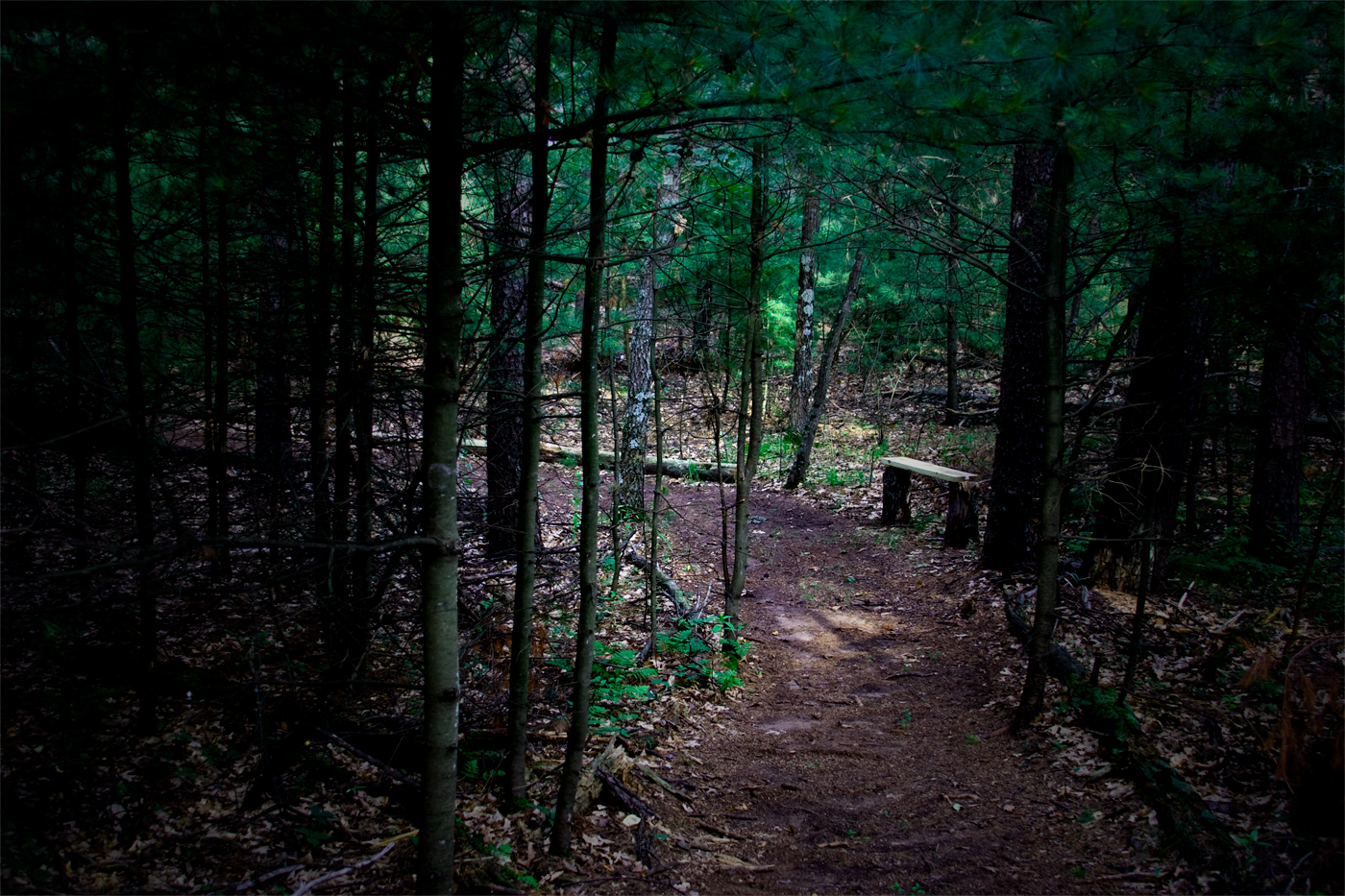
Wisconsin's Roche-A-Cri State Park
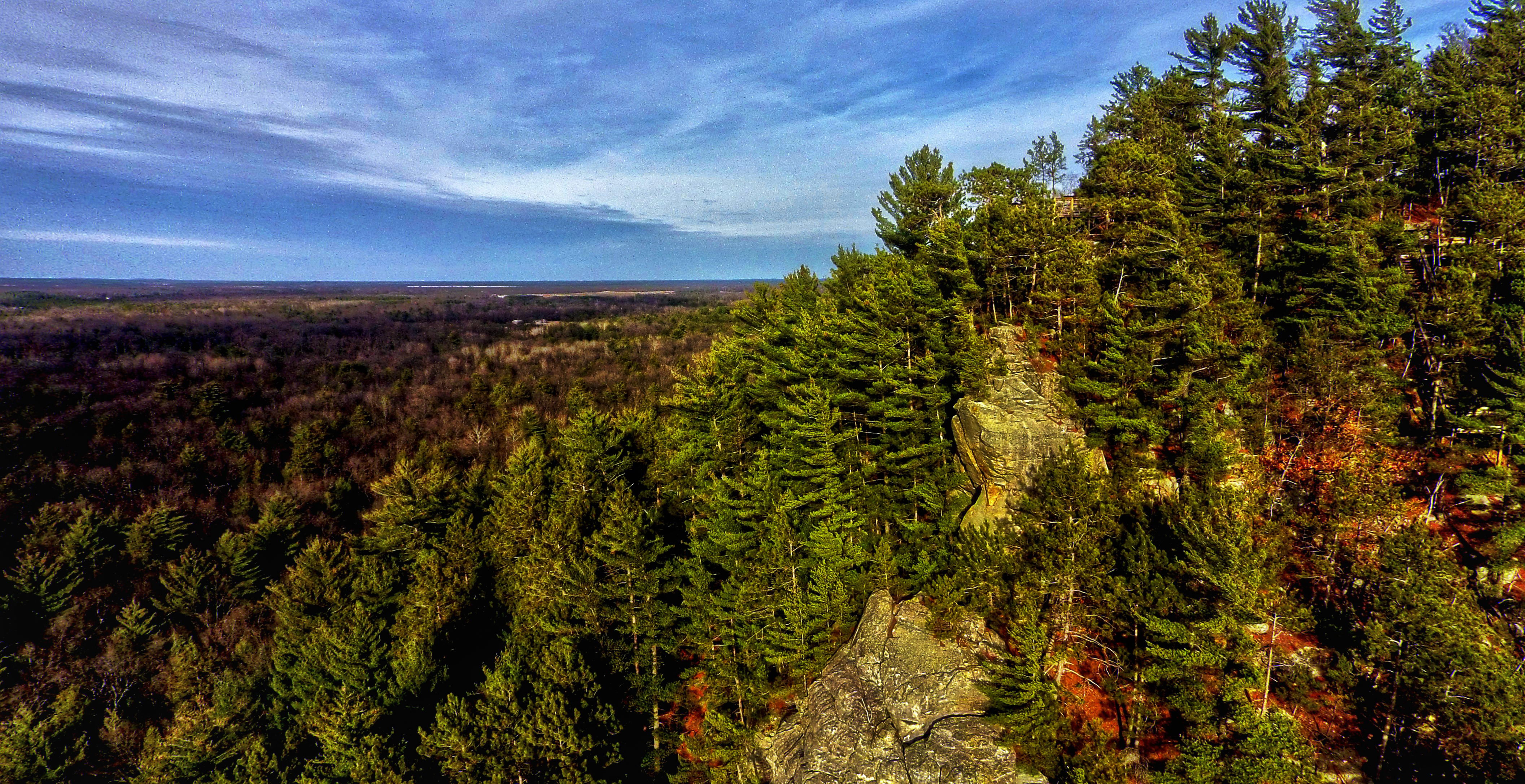
Roche-A-Cri Mound
Topographic Map of Monroe, WI, USA
Find elevation by address:

Places in Monroe, WI, USA:
Places near Monroe, WI, USA:
1396 Brown Deer Ave
1347 Brown Deer Ave
1332 Brown Deer Ave
1329 Brown Deer Ave
1322 Brown Deer Ave
1319 Brown Deer Ave
1303 Brown Deer Ave
1109 13th Ave
1194 Brown Deer Ave
Deerpath Rd, Arkdale, WI, USA
1088 13th Ave
1175 13th Ave
1181 Brown Deer Ave
1179 Brown Deer Ave
1121 State Hwy 13
1153 Brown Deer Ave
1127 13th Ave
1140 Wi-13 Trunk
1140 Wi-13 Trunk
1626 Wi-13 Trunk
Recent Searches:
- Elevation of Lampiasi St, Sarasota, FL, USA
- Elevation of Elwyn Dr, Roanoke Rapids, NC, USA
- Elevation of Congressional Dr, Stevensville, MD, USA
- Elevation of Bellview Rd, McLean, VA, USA
- Elevation of Stage Island Rd, Chatham, MA, USA
- Elevation of Shibuya Scramble Crossing, 21 Udagawacho, Shibuya City, Tokyo -, Japan
- Elevation of Jadagoniai, Kaunas District Municipality, Lithuania
- Elevation of Pagonija rock, Kranto 7-oji g. 8"N, Kaunas, Lithuania
- Elevation of Co Rd 87, Jamestown, CO, USA
- Elevation of Tenjo, Cundinamarca, Colombia