Elevation of Penwithick, Saint Austell PL26, UK
Location: United Kingdom > England > Cornwall >
Longitude: -4.7803752
Latitude: 50.3738644
Elevation: 194m / 636feet
Barometric Pressure: 99KPa
Elevation Map:
Satellite Map:
Related Photos:

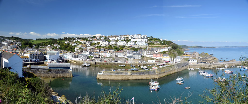
The harbours at Mevagissey, Cornwall
The Harbour in Charlestown

Harbour A Dream

The inner harbour at Mevagissey, Cornwall

Pencarrow Head, Cornwall

The harbour at Fowey, Cornwall

Cornish coast near Mevagissey

66031 Golant
Mars Colony

The Ship Inn Fowey Cornwall

Sprinters and Clotted Cream

Polruan through the round window
The harbour at Fowey, Cornwall

Looking north towards Sticker in Cornwall

Cornish coast at Mevagissey

The Place in Fowey Cornwall

Roche Rock Chapel.

Tropical Fantasies

Dawn in Mevagissey

Wedding Venue

The harbour at Fowey, Cornwall

The Coast at Charlestown
Lantic Bay

Quiet Backwater

Mevagissey (Explore FP)

Lantic Bay

Fowey (Cornwall) - After the Storm II

Rocks and Rays

Polridmouth Beach

Foggy, Foggy Dew
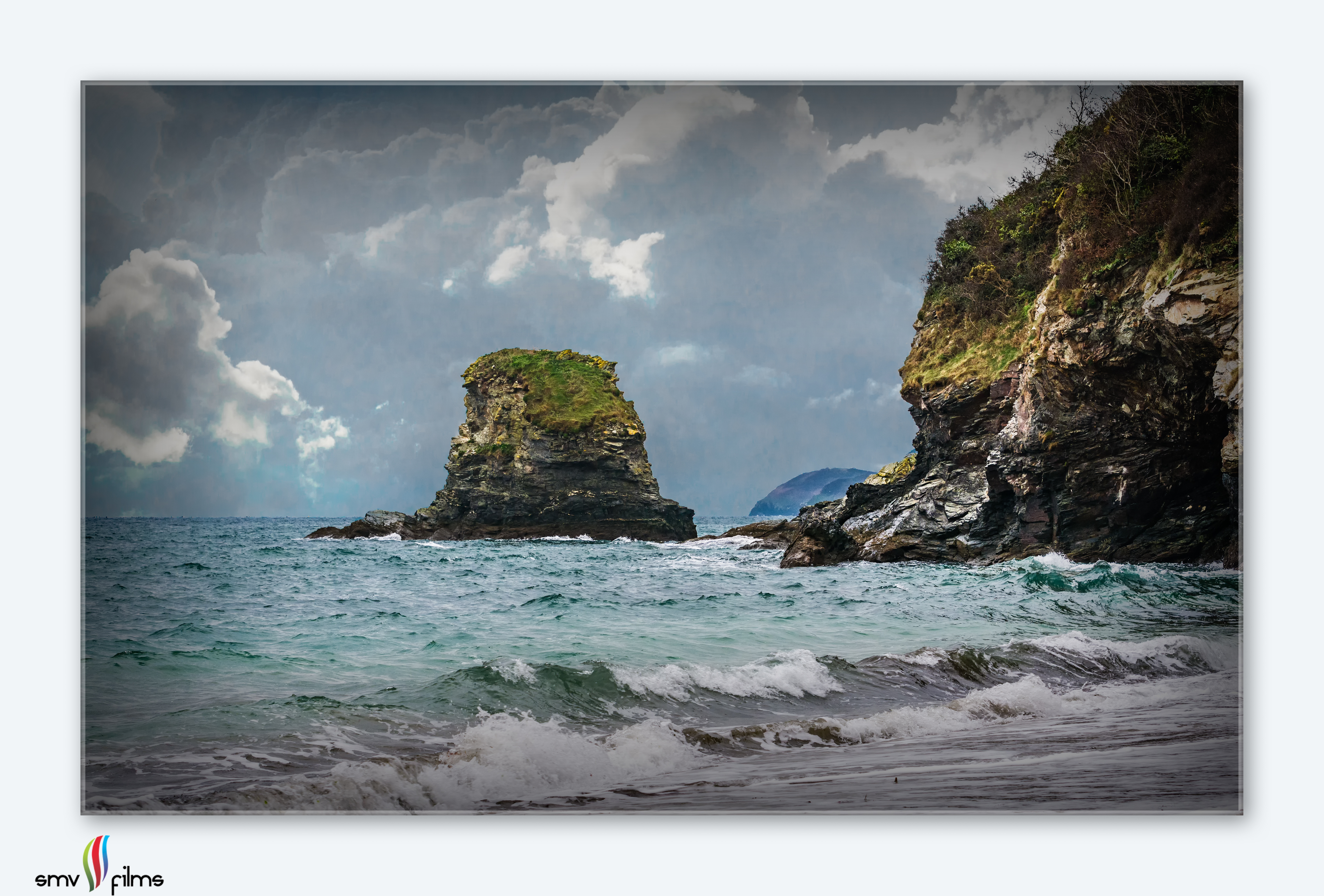
Stormy seas

Lantic Bay

Roche Chapel

Inner Harbour
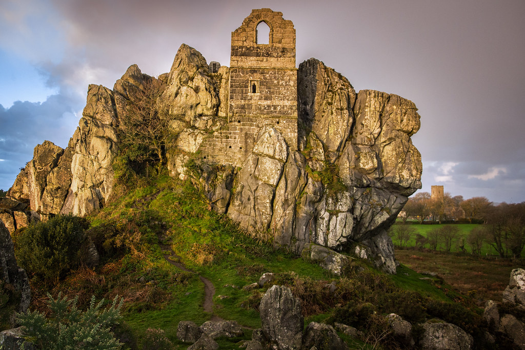
Roche Rock

The warmth to swell the grain...

The Cornish coast near Polruan

Fowey Harbour Mouth

Take a break
Outer Harbour

Lantic Bay
Topographic Map of Penwithick, Saint Austell PL26, UK
Find elevation by address:

Places in Penwithick, Saint Austell PL26, UK:
Places near Penwithick, Saint Austell PL26, UK:
Pl26 8fs
The Enterprise Space For Advanced Manufacturing (esam)
Saint Austell
20 Beech Rd, Saint Austell PL25 4TS, UK
1 Trevanion Rd
Charlestown Harbour
2 Prideaux Cottages, St Blazey, Par PL24 2SS, UK
Saint Blazey
2 The Lawn
4 The Lawn
School Hill
Lostwithiel
21 Beacon Hill, Bodmin PL31 1JA, UK
Bodmin
Cott Road
Egloshayle
The Forge
5 Church Ave, Fowey PL23 1BU, UK
Fowey
2 The Pound, Caerhays, Saint Austell PL26 6LY, UK
Recent Searches:
- Elevation of Groblershoop, South Africa
- Elevation of Power Generation Enterprises | Industrial Diesel Generators, Oak Ave, Canyon Country, CA, USA
- Elevation of Chesaw Rd, Oroville, WA, USA
- Elevation of N, Mt Pleasant, UT, USA
- Elevation of 6 Rue Jules Ferry, Beausoleil, France
- Elevation of Sattva Horizon, 4JC6+G9P, Vinayak Nagar, Kattigenahalli, Bengaluru, Karnataka, India
- Elevation of Great Brook Sports, Gold Star Hwy, Groton, CT, USA
- Elevation of 10 Mountain Laurels Dr, Nashua, NH, USA
- Elevation of 16 Gilboa Ln, Nashua, NH, USA
- Elevation of Laurel Rd, Townsend, TN, USA