Elevation of Penukonda, Andhra Pradesh, India
Location: India > Andhra Pradesh > Anantapuram >
Longitude: 77.5973233
Latitude: 14.0844312
Elevation: 561m / 1841feet
Barometric Pressure: 95KPa
Elevation Map:
Satellite Map:
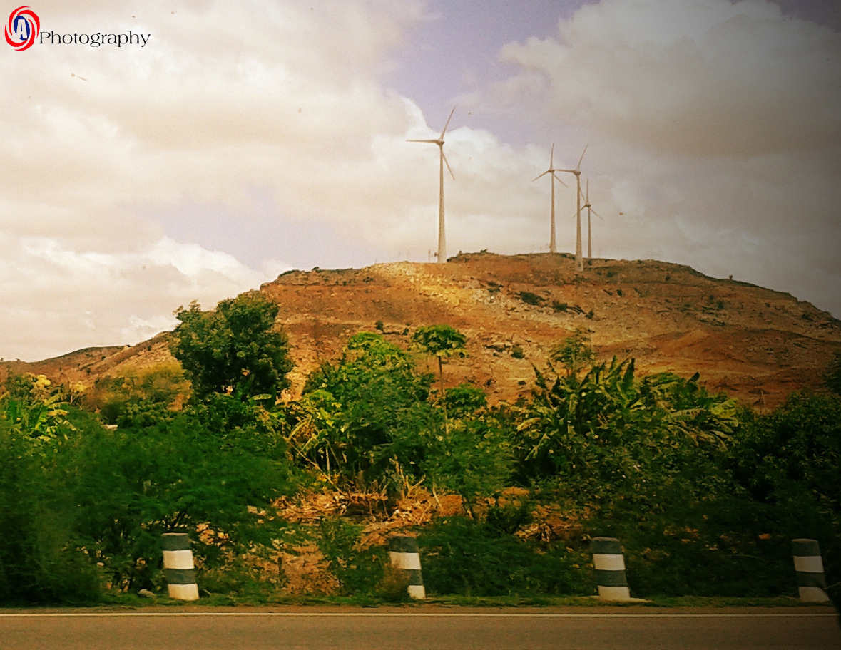
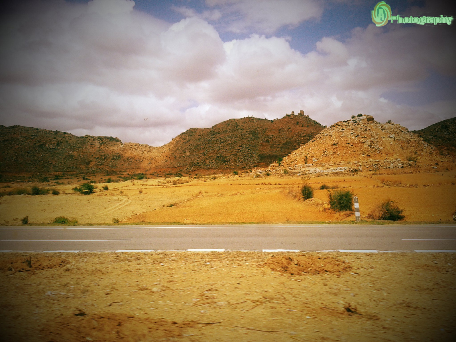
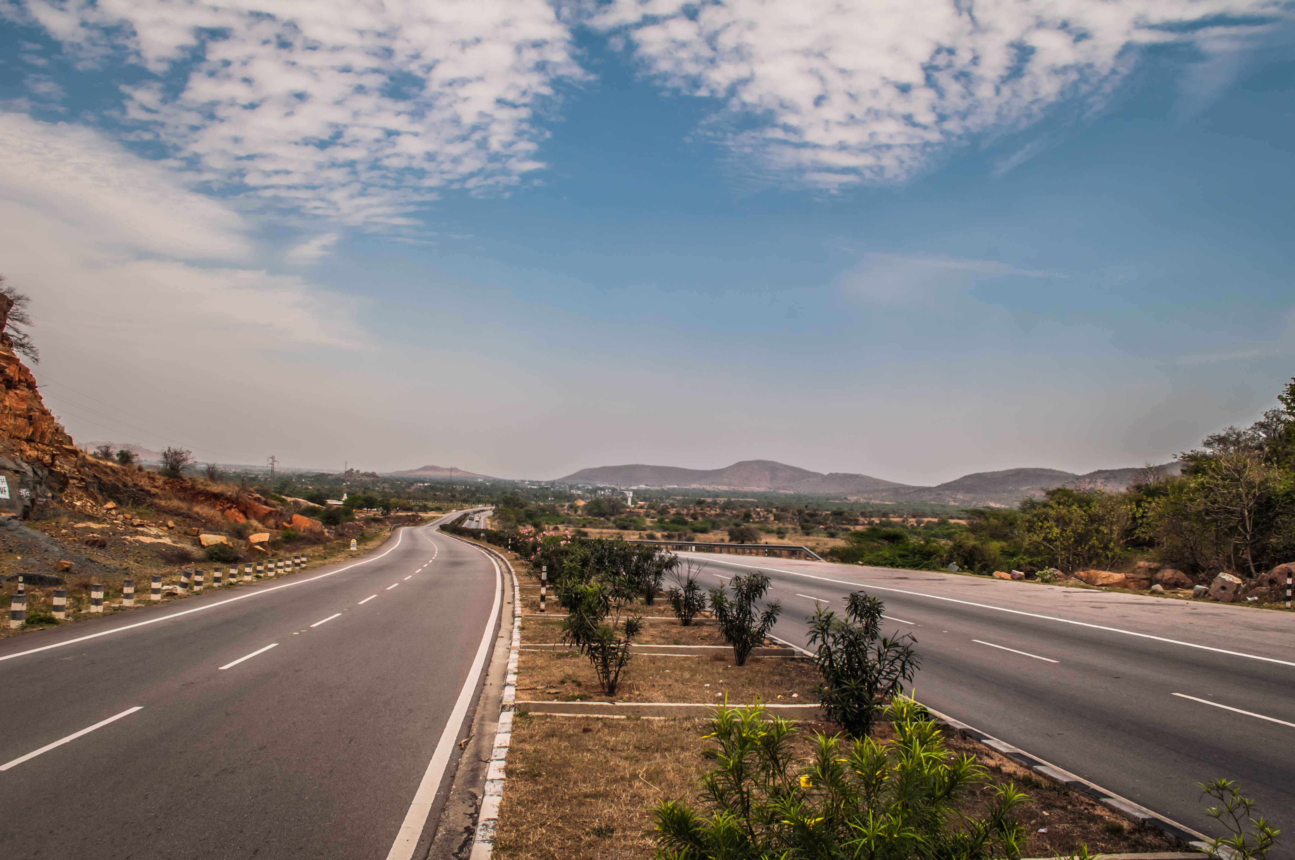
Related Photos:
view
View3

DSC_0488

DSC_0481

DSC_0489

DSC_0479

DSC_0478

DSC_0492

DSC_0494
DSC_0493
Topographic Map of Penukonda, Andhra Pradesh, India
Find elevation by address:

Places near Penukonda, Andhra Pradesh, India:
Roddam
Dharmavaram
Indiranagar
Peruru
Nallamada
Gotluru
Ananthapuramu
Anantapuram
Rapthadu
Yerradoddi
Kakkalapalle Rural
Alamur Road
Hyway Lounge
Anantapur
Brahmanapalle
Thimmampalli
Pulivendula
Nallacheruvupalle
Tp Road - Konaguntlapalli Road
Veerapuram
Recent Searches:
- Elevation of Scenic Shore Dr, Kingwood Area, TX, USA
- Elevation of W Prive Cir, Delray Beach, FL, USA
- Elevation of S Layton Cir W, Layton, UT, USA
- Elevation of F36W+3M, Mussoorie, Uttarakhand, India
- Elevation of Fairland Ave, Fairhope, AL, USA
- Elevation of Sunset Dr, Richmond, VA, USA
- Elevation of Grodna District, Hrodna Region, Belarus
- Elevation of Hrodna, Hrodna Region, Belarus
- Elevation of Sandia Derby Estates, Tijeras, NM, USA
- Elevation of 23 Sunrise View Ct, Tijeras, NM, USA