Elevation of Dharmavaram, Andhra Pradesh, India
Location: India > Andhra Pradesh > Anantapuram > Indiranagar >
Longitude: 77.7201031
Latitude: 14.4124551
Elevation: 372m / 1220feet
Barometric Pressure: 97KPa
Elevation Map:
Satellite Map:
Related Photos:

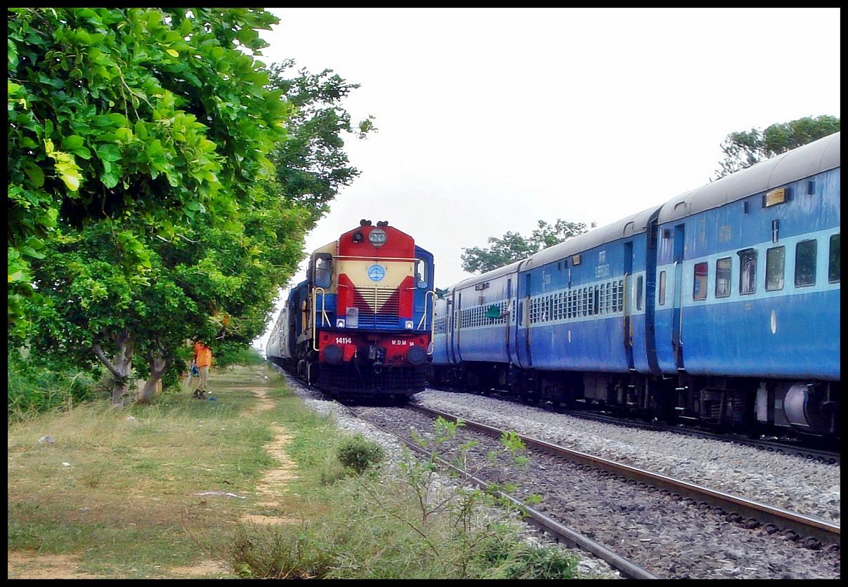
Vatva WDG3A At Dharmavaram 07-07-2014
1111 DSC00046
Topographic Map of Dharmavaram, Andhra Pradesh, India
Find elevation by address:

Places near Dharmavaram, Andhra Pradesh, India:
Indiranagar
Gotluru
Ananthapuramu
Anantapuram
Rapthadu
Hyway Lounge
Kakkalapalle Rural
Anantapur
Alamur Road
Penukonda
Thimmampalli
Peruru
Nallamada
Brahmanapalle
Roddam
Yerradoddi
Pulivendula
Tp Road - Konaguntlapalli Road
Veerapuram
Tadipatri
Recent Searches:
- Elevation of Brooks Lp, Spearfish, SD, USA
- Elevation of Panther Dr, Maggie Valley, NC, USA
- Elevation of Jais St - Wadi Shehah - Ras al Khaimah - United Arab Emirates
- Elevation of Shawnee Avenue, Shawnee Ave, Easton, PA, USA
- Elevation of Scenic Shore Dr, Kingwood Area, TX, USA
- Elevation of W Prive Cir, Delray Beach, FL, USA
- Elevation of S Layton Cir W, Layton, UT, USA
- Elevation of F36W+3M, Mussoorie, Uttarakhand, India
- Elevation of Fairland Ave, Fairhope, AL, USA
- Elevation of Sunset Dr, Richmond, VA, USA