Elevation of Pennington Rd, Live Oak, CA, USA
Location: United States > California > Sutter County > Live Oak >
Longitude: -121.77539
Latitude: 39.27462
Elevation: 25m / 82feet
Barometric Pressure: 101KPa
Elevation Map:
Satellite Map:
Related Photos:

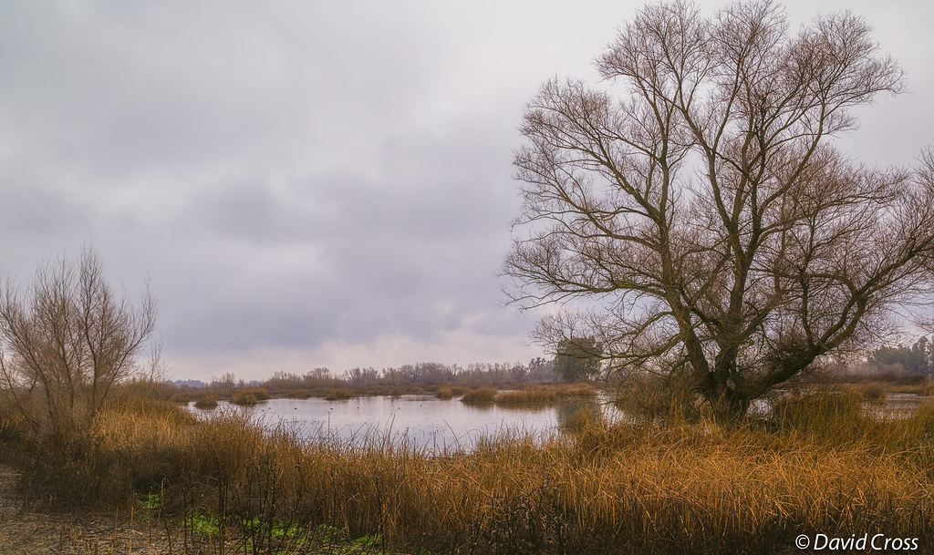
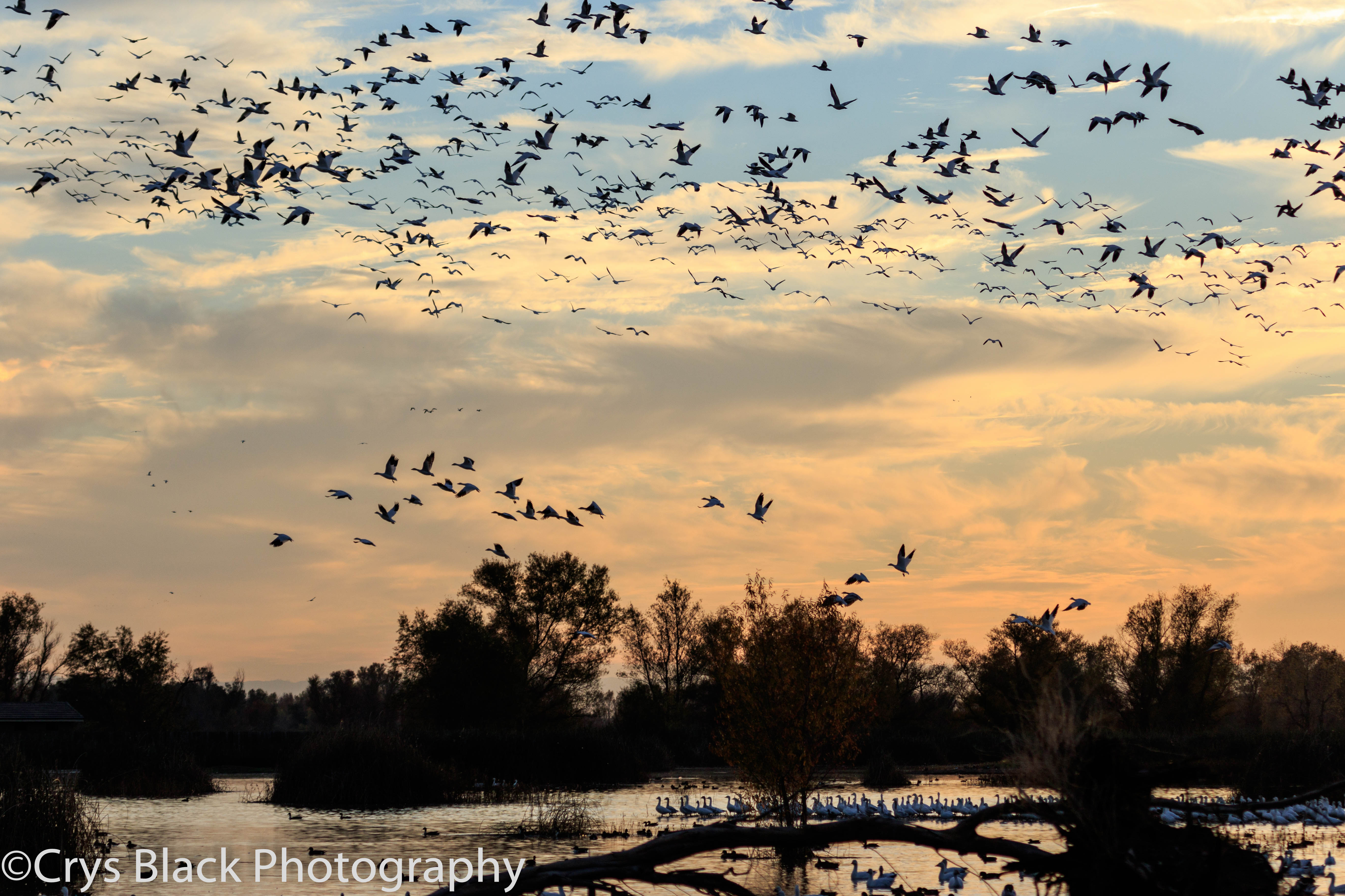
Sacramento Valley Marshland--Winter Landscape
sutter buttes, ca. 2013.

105 Year Old Birthday

Dangerous Curves Ahead
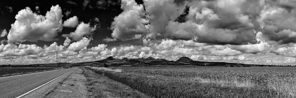
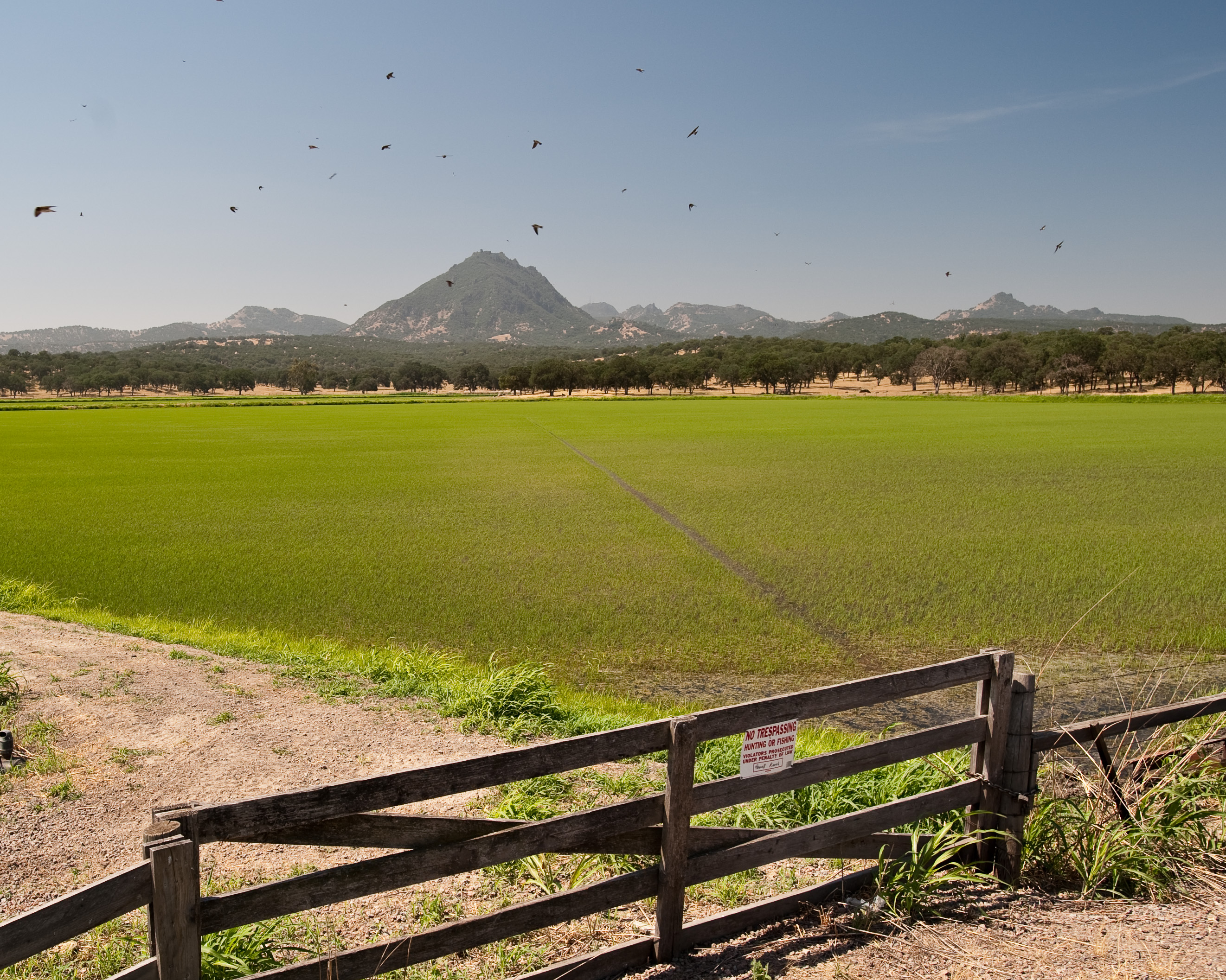
Sutter Buttes Mountains_2
Sutter Buttes Mountains_1
Sutter Buttes View_1
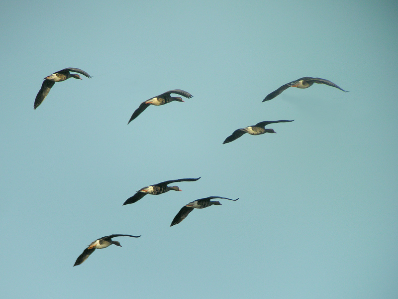
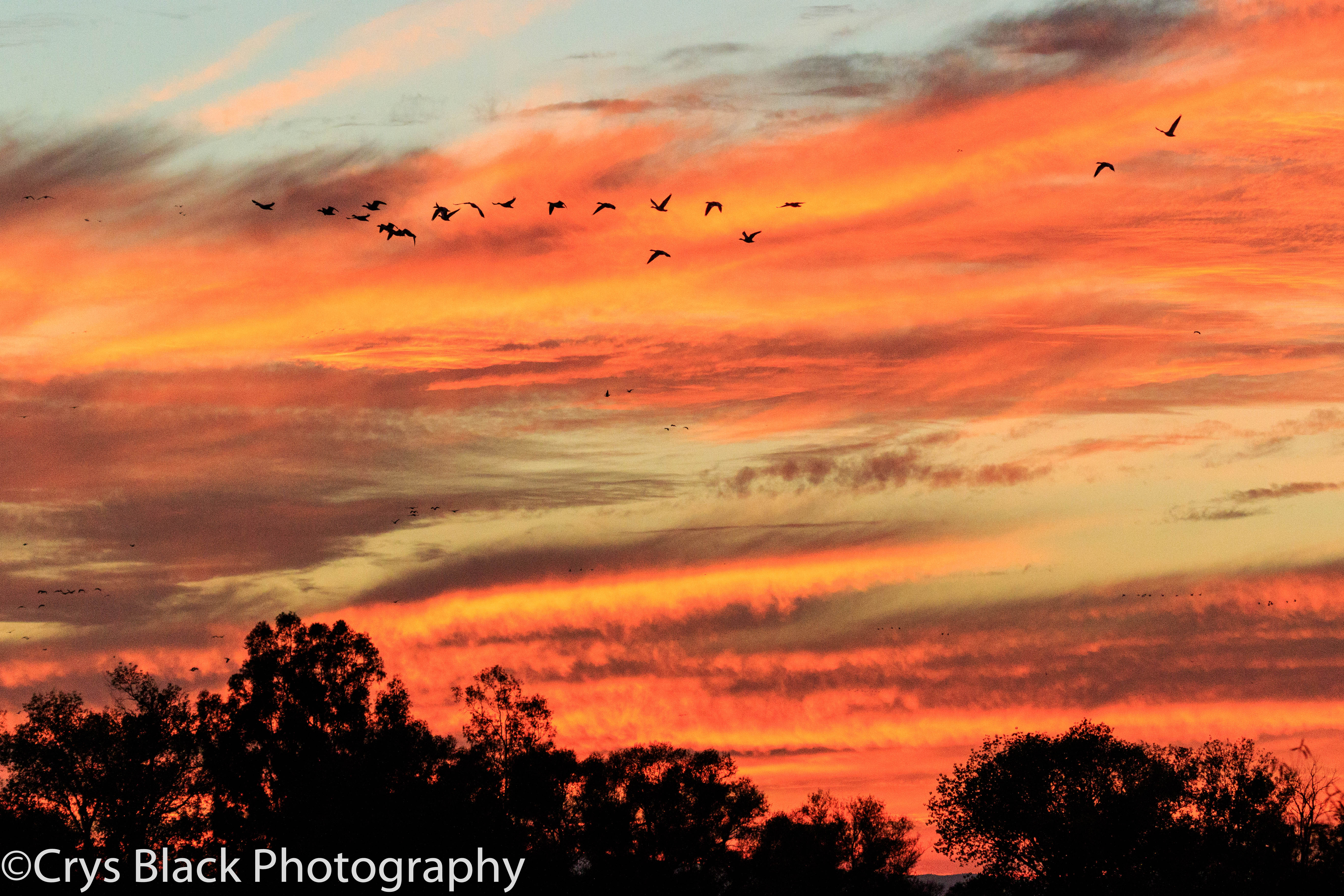
White-fronted Goose - flight

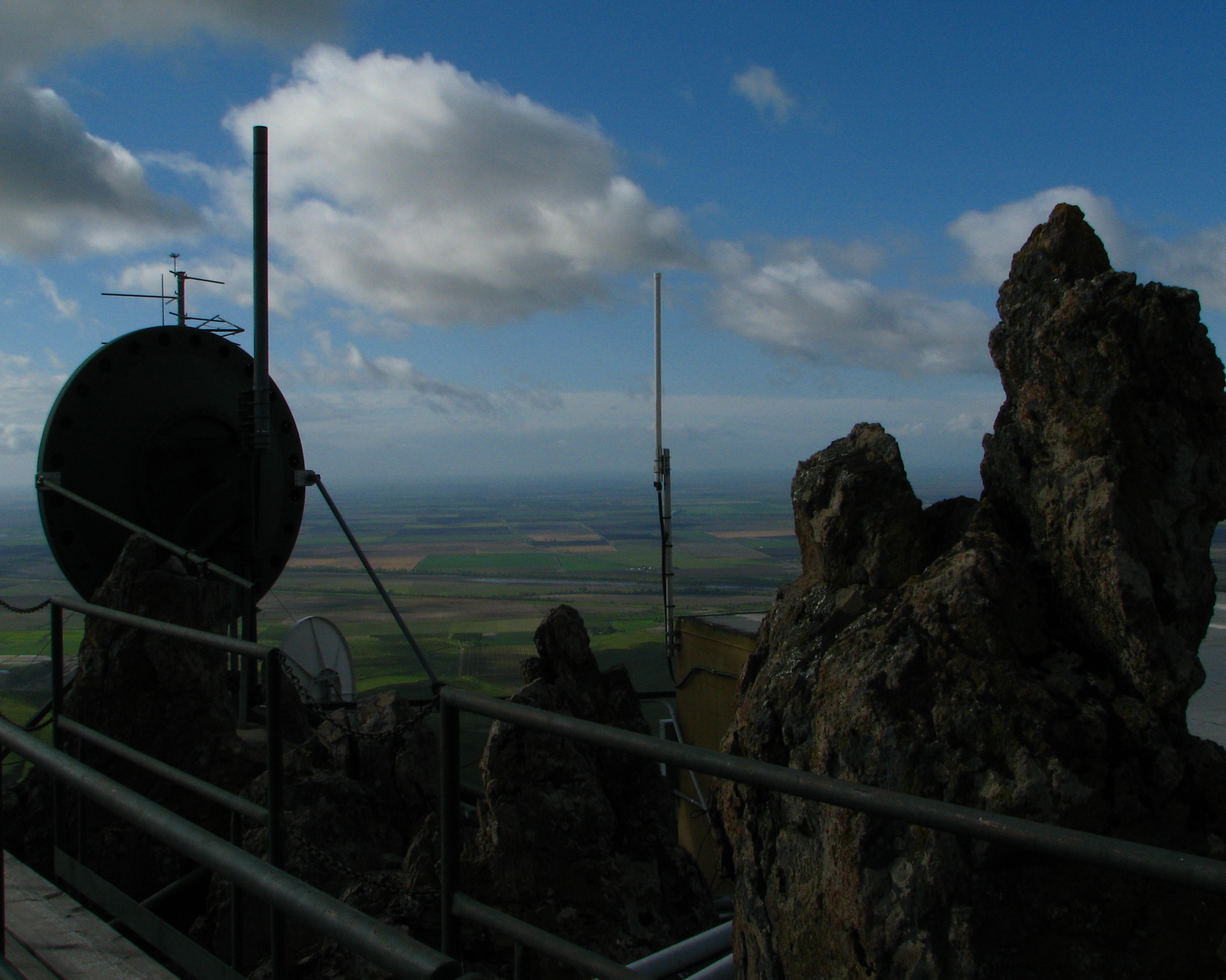
The view from the top 1
The view from the top 3
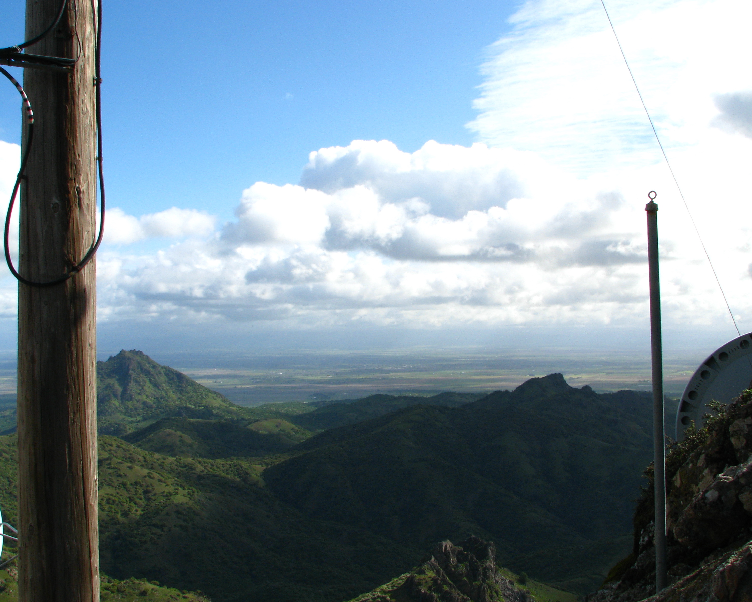
The view from the top 2

Long view of the yard
For Awhile
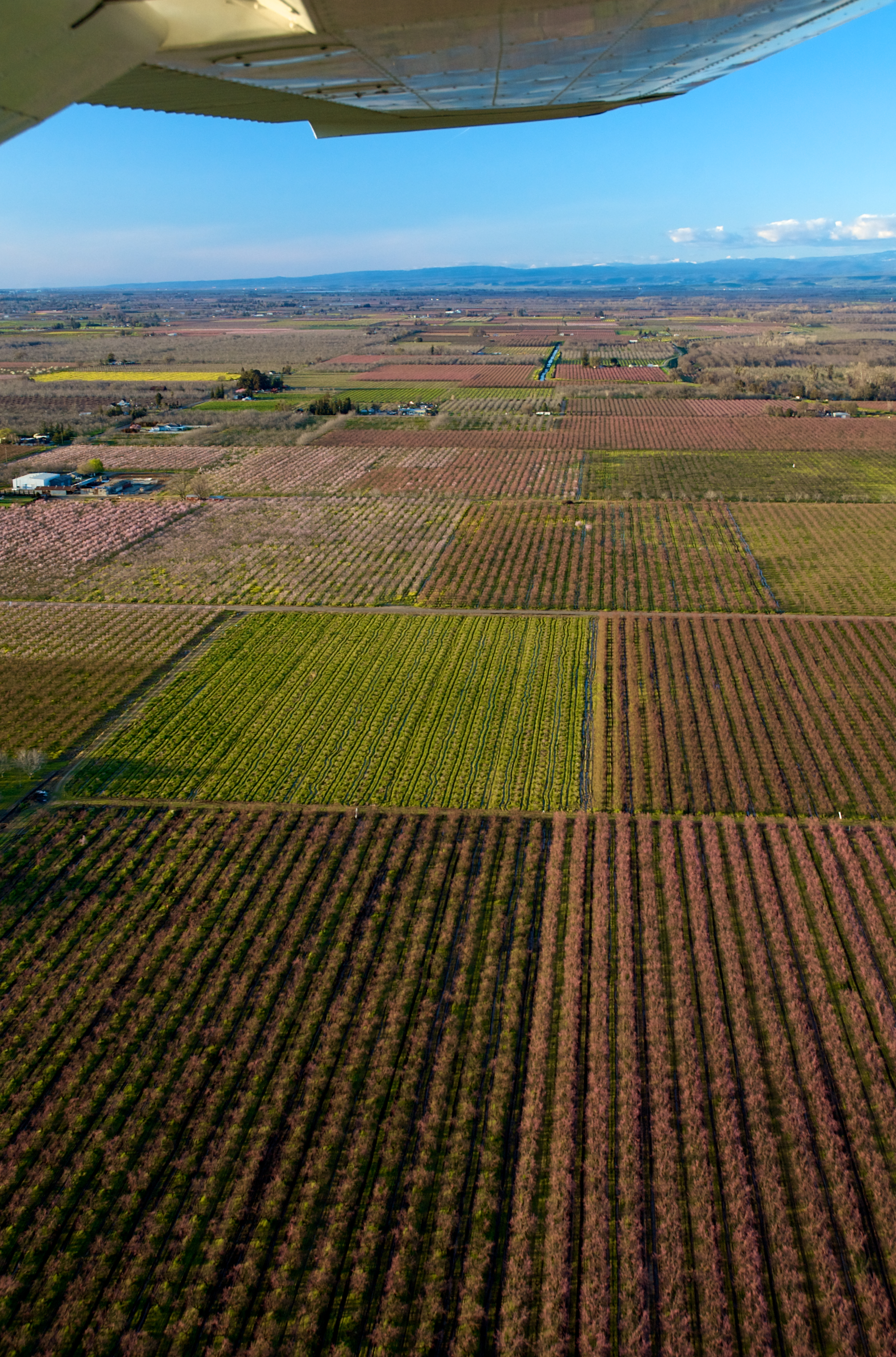
Almonds and Peaches

Gray Lodge Gridley California
_MG_8057.jpg

09.0525-JTP_2119

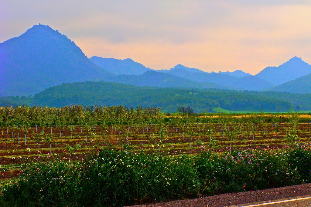
Peach Orchards near Marysville
_MG_7928.jpg

Majestic oak #trees in Manuel Vierra Park. #Gridley #California

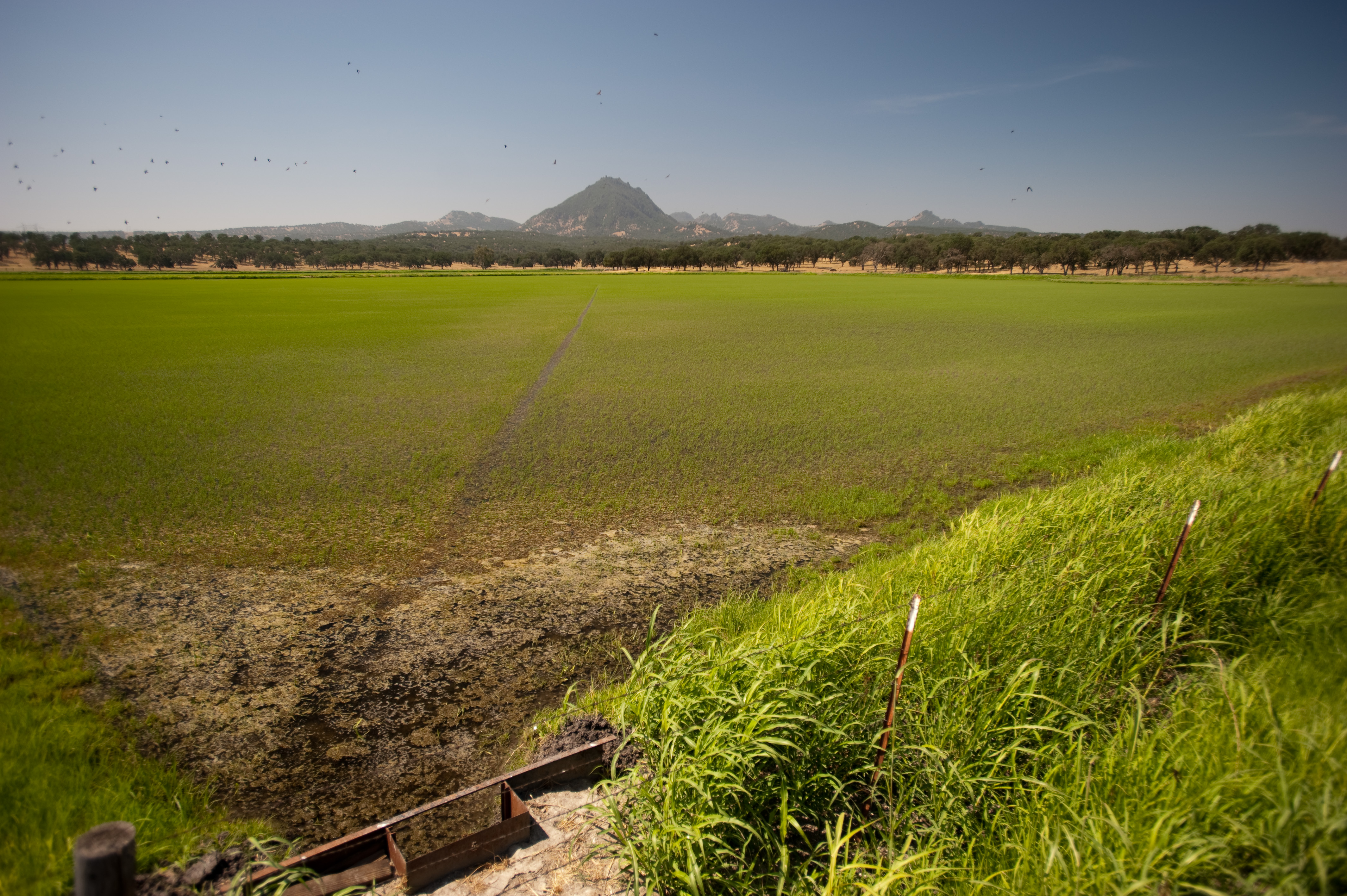
Oak tree near the Sutter Buttes

09.0525-JTP_2124

Gray Lodge
09.0525-JTP_2169

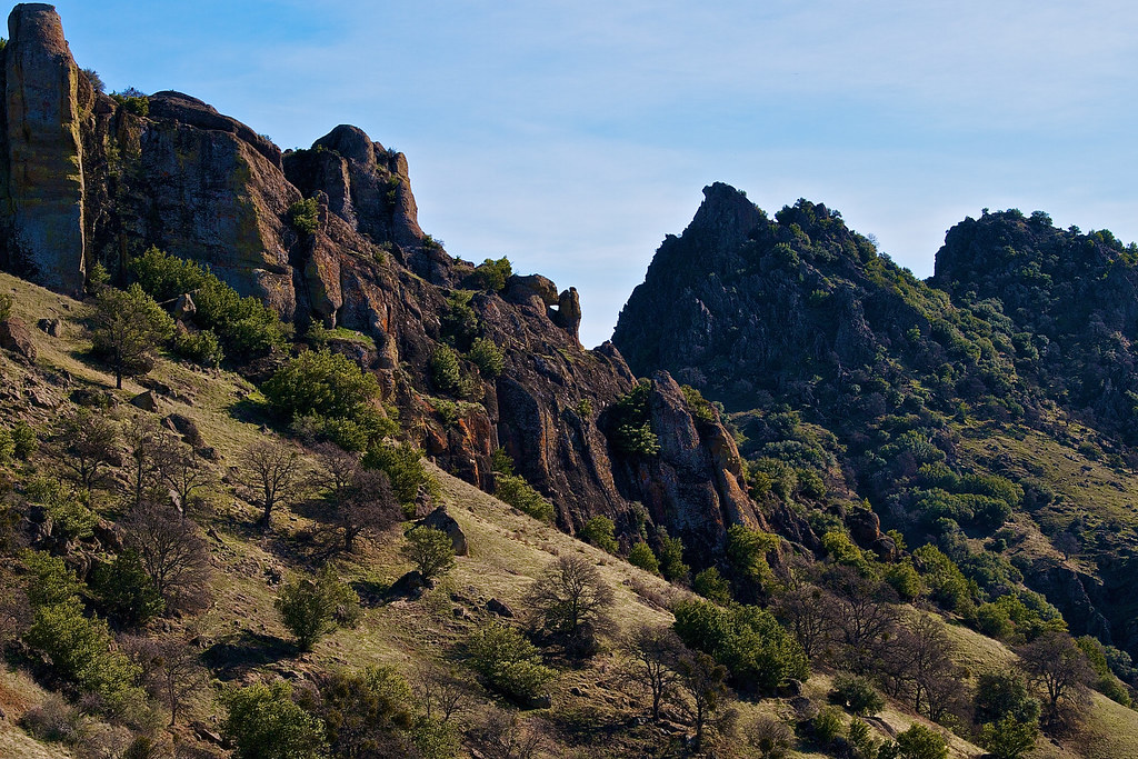
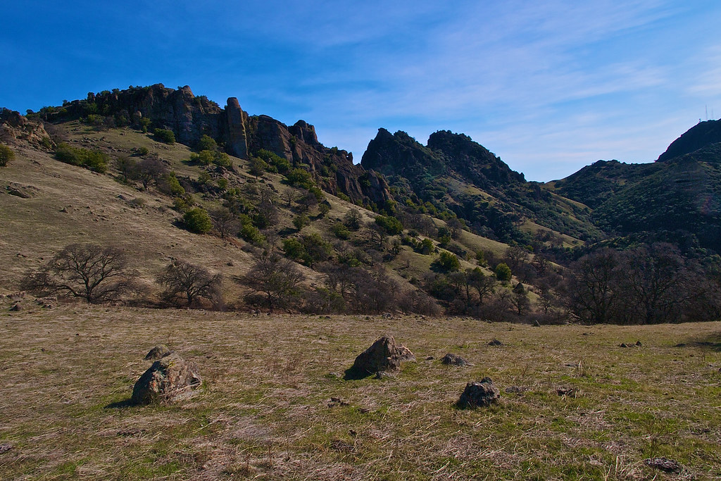
World's Smallest Mountain Range

Sunset at the Buttes. After six hours of driving and chasing wildflowers in the wind, I was finally rewarded with some big spring color. #suttercounty #sutterbuttes #ignorcal #visitcalifornia #spring2016 #gregmitchellphotography #tactilephoto

#hike2 #52HikeChallenge #hiking #GrayLodge
09.0525-JTP_2175
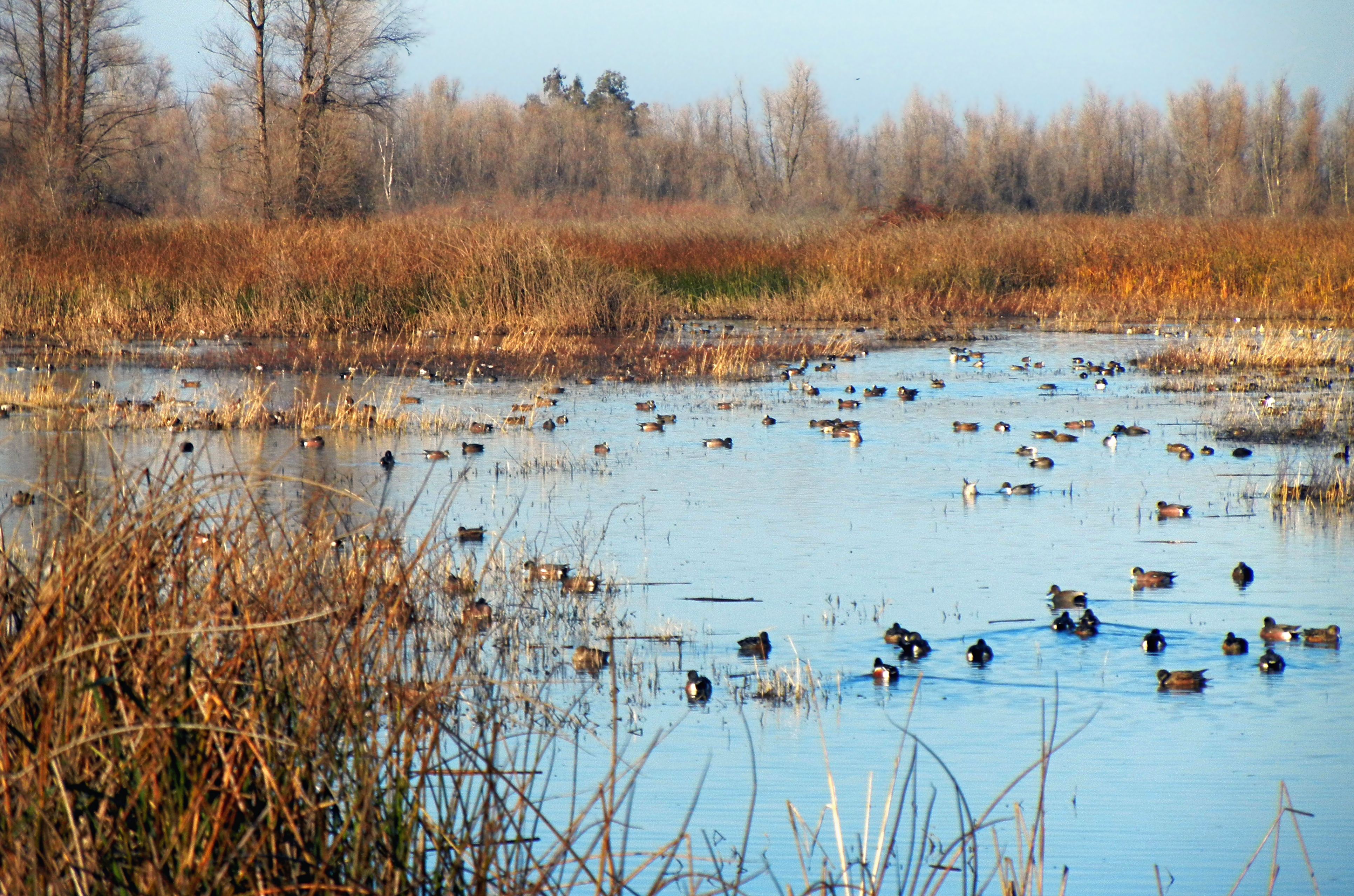
Birds in winter at Gray Lodge bird sanctuary, Yuba County, CA

#hike2 #52HikeChallenge #hiking #GrayLodge
Topographic Map of Pennington Rd, Live Oak, CA, USA
Find elevation by address:

Places near Pennington Rd, Live Oak, CA, USA:
N Butte Rd, Live Oak, CA, USA
9704 N Butte Rd
9708 N Butte Rd
11153 N Butte Rd
Dean Place
10756 Krehe Rd
4540 Pennington Rd
Sutter Buttes
Sutter Buttes
5301 E Butte Rd
Gridley, CA, USA
1235 Fredonia Ln
163 W Evans Reimer Rd
1577 Block Rd
3325 Baker Way
357 W Liberty Rd
3109 Pennington Rd
9240 Broadway
1663 Kofford Rd
1293 Losser Ave
Recent Searches:
- Elevation of NY-, Friendship, NY, USA
- Elevation of 64 Danakas Dr, Winnipeg, MB R2C 5N7, Canada
- Elevation of 4 Vale Rd, Sheffield S3 9QX, UK
- Elevation of Keene Point Drive, Keene Point Dr, Grant, AL, USA
- Elevation of State St, Zanesville, OH, USA
- Elevation of Austin Stone Dr, Haslet, TX, USA
- Elevation of Bydgoszcz, Poland
- Elevation of Bydgoszcz, Poland
- Elevation of Calais Dr, Del Mar, CA, USA
- Elevation of Placer Mine Ln, West Jordan, UT, USA