Elevation of N Butte Rd, Live Oak, CA, USA
Location: United States > California > Sutter County > Live Oak >
Longitude: -121.79315
Latitude: 39.290944
Elevation: 26m / 85feet
Barometric Pressure: 101KPa
Elevation Map:
Satellite Map:
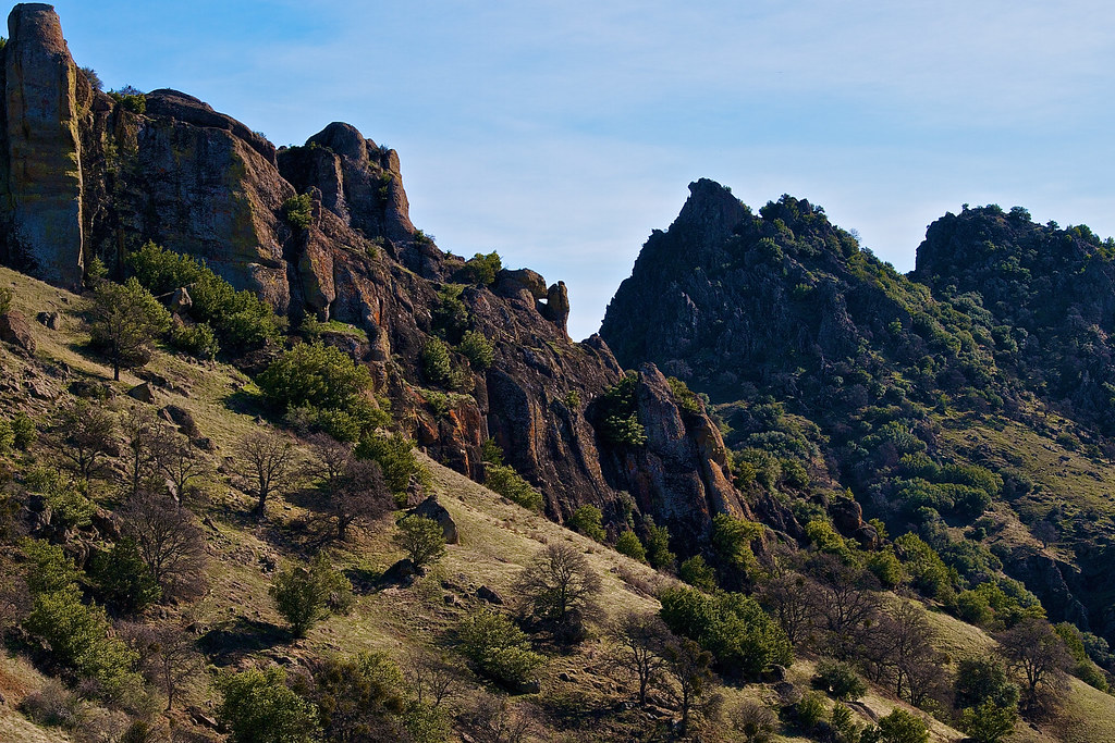
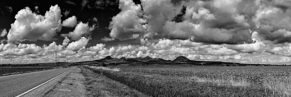
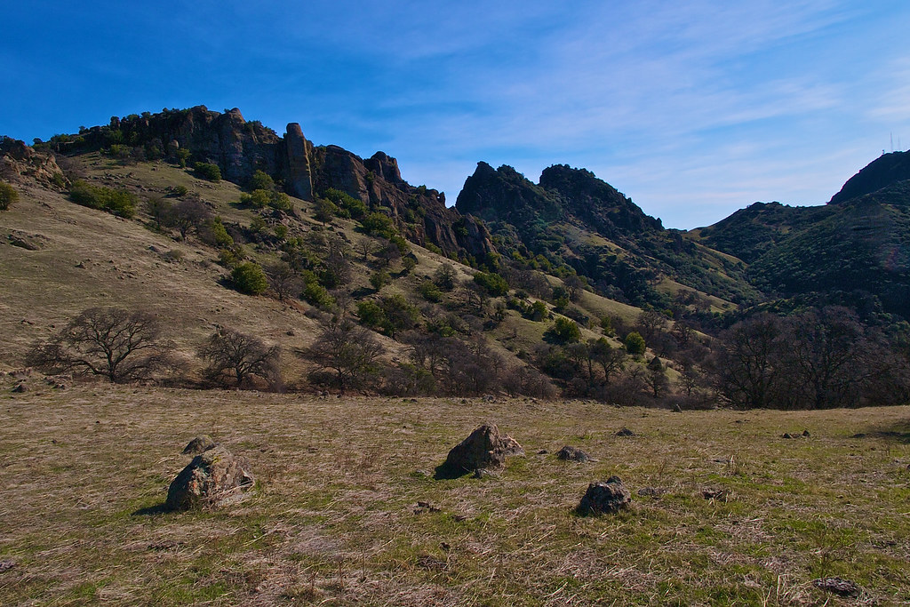
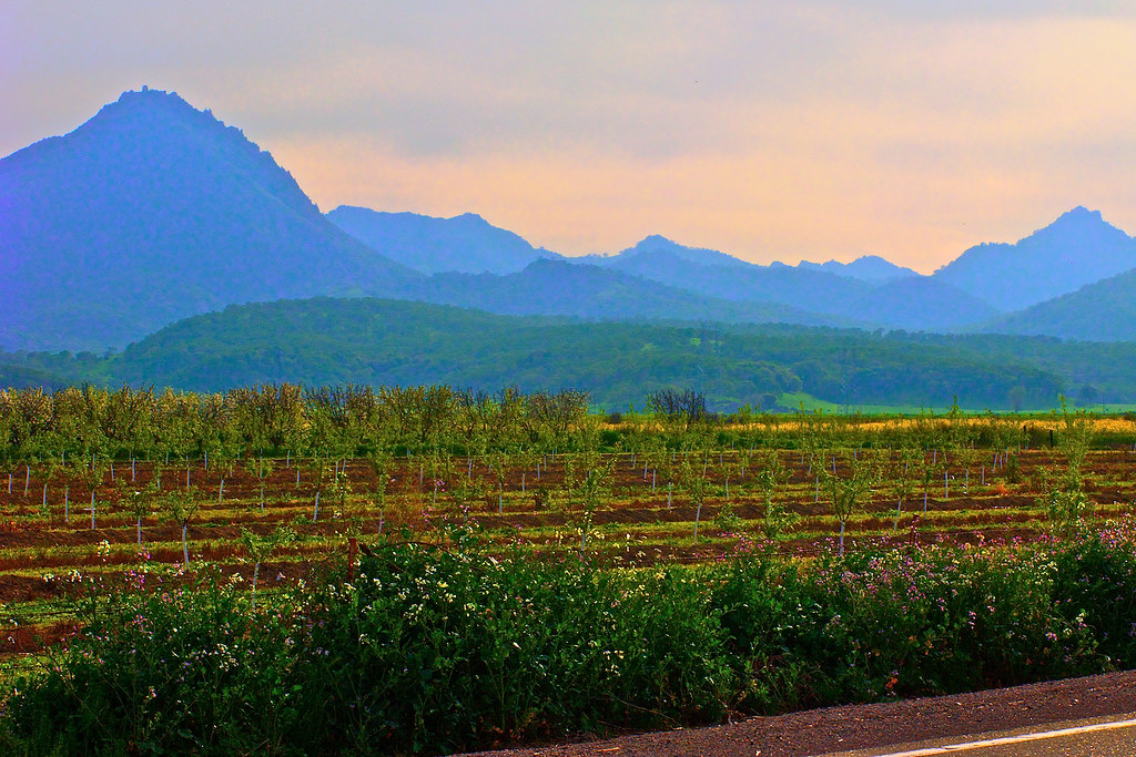
Related Photos:

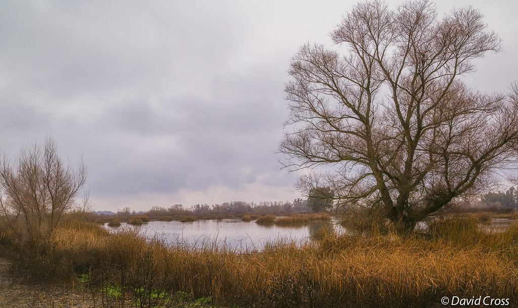
Sacramento Valley Marshland--Winter Landscape

105 Year Old Birthday

Dangerous Curves Ahead
Sutter Buttes Mountains_2
sutter buttes, ca. 2013.
Sutter Buttes Mountains_1
Sutter Buttes View_1
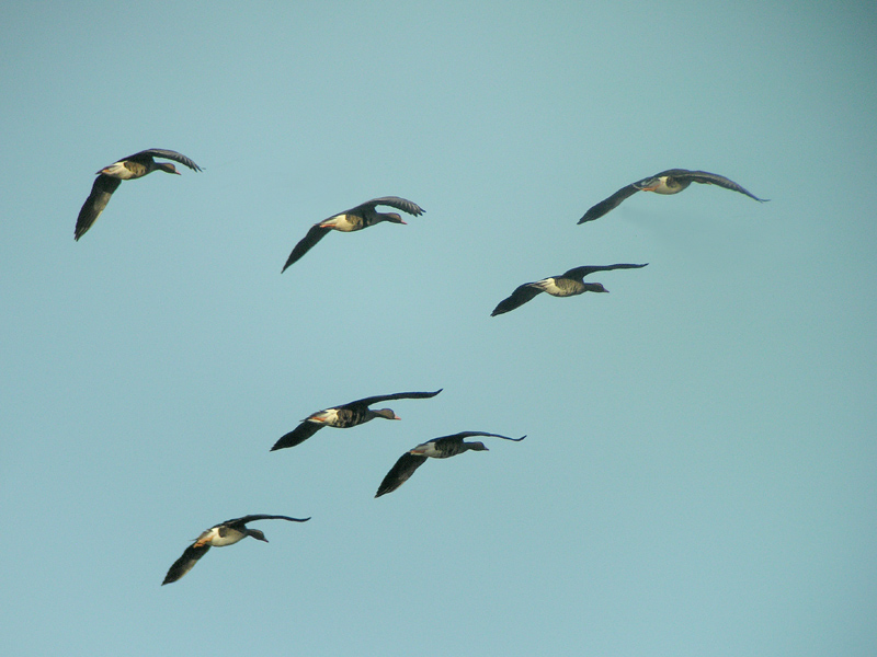
White-fronted Goose - flight

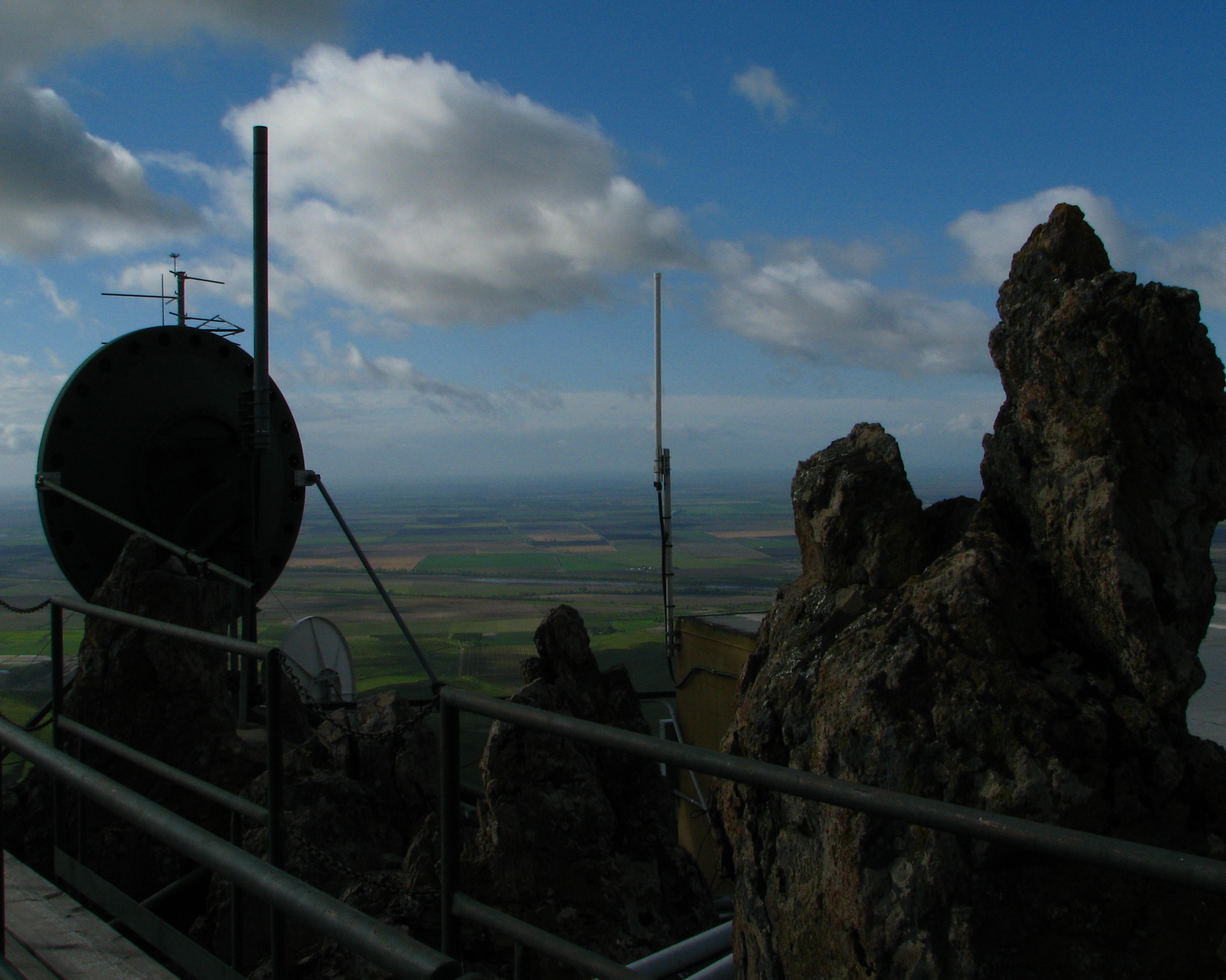
The view from the top 1
The view from the top 3
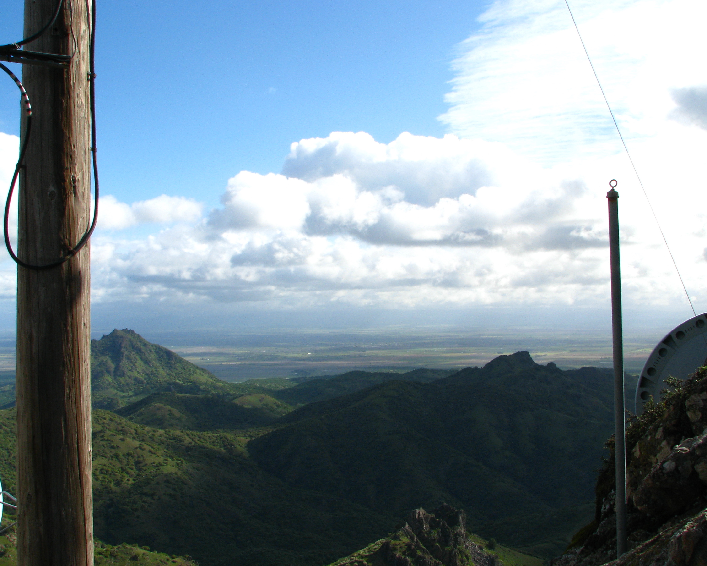
The view from the top 2

VIEW OF DECOYS

Long view of the yard

Oak tree near the Sutter Buttes

World's Smallest Mountain Range
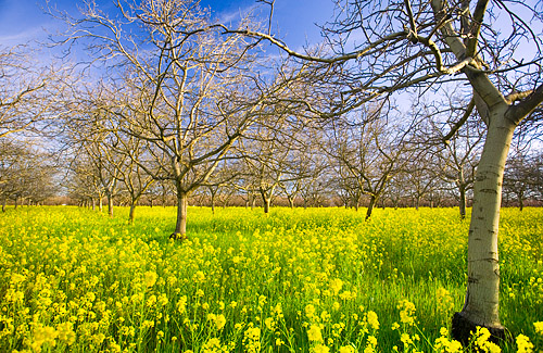
Walnut Orchard in Winter

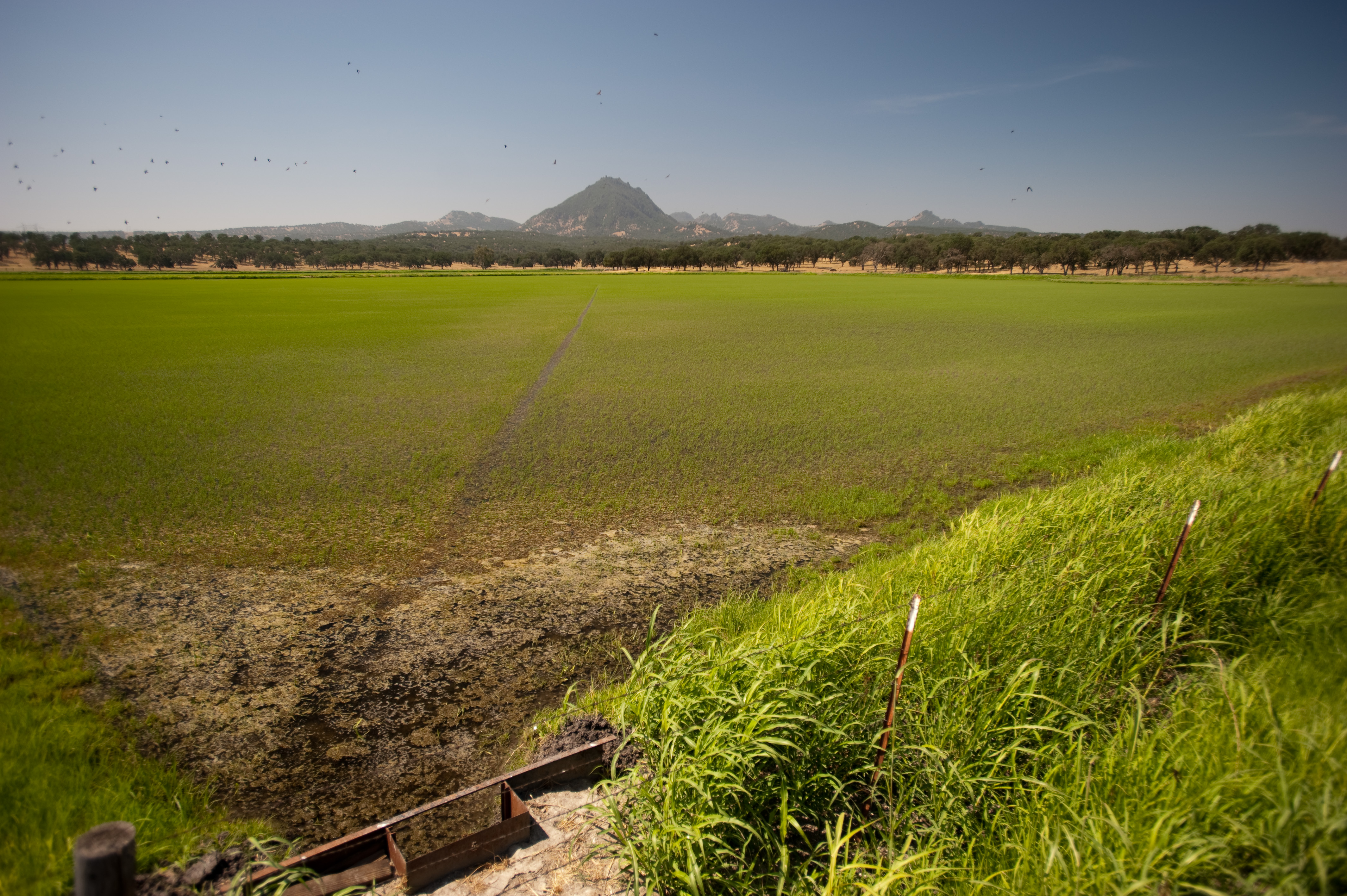
Sunset in the Rice Fields of the Sacramento Valley
For Awhile

09.0525-JTP_2119
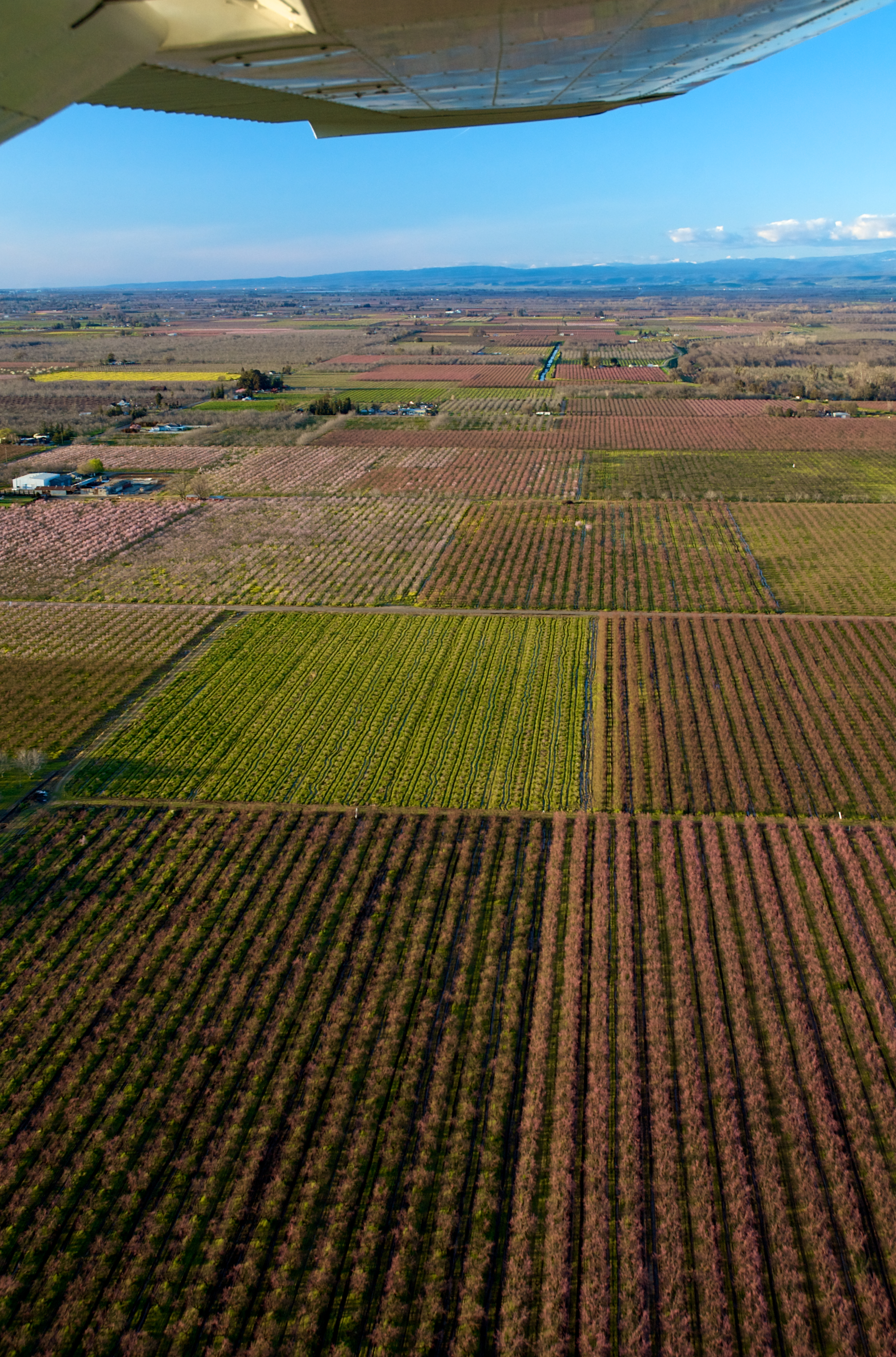
Almonds and Peaches
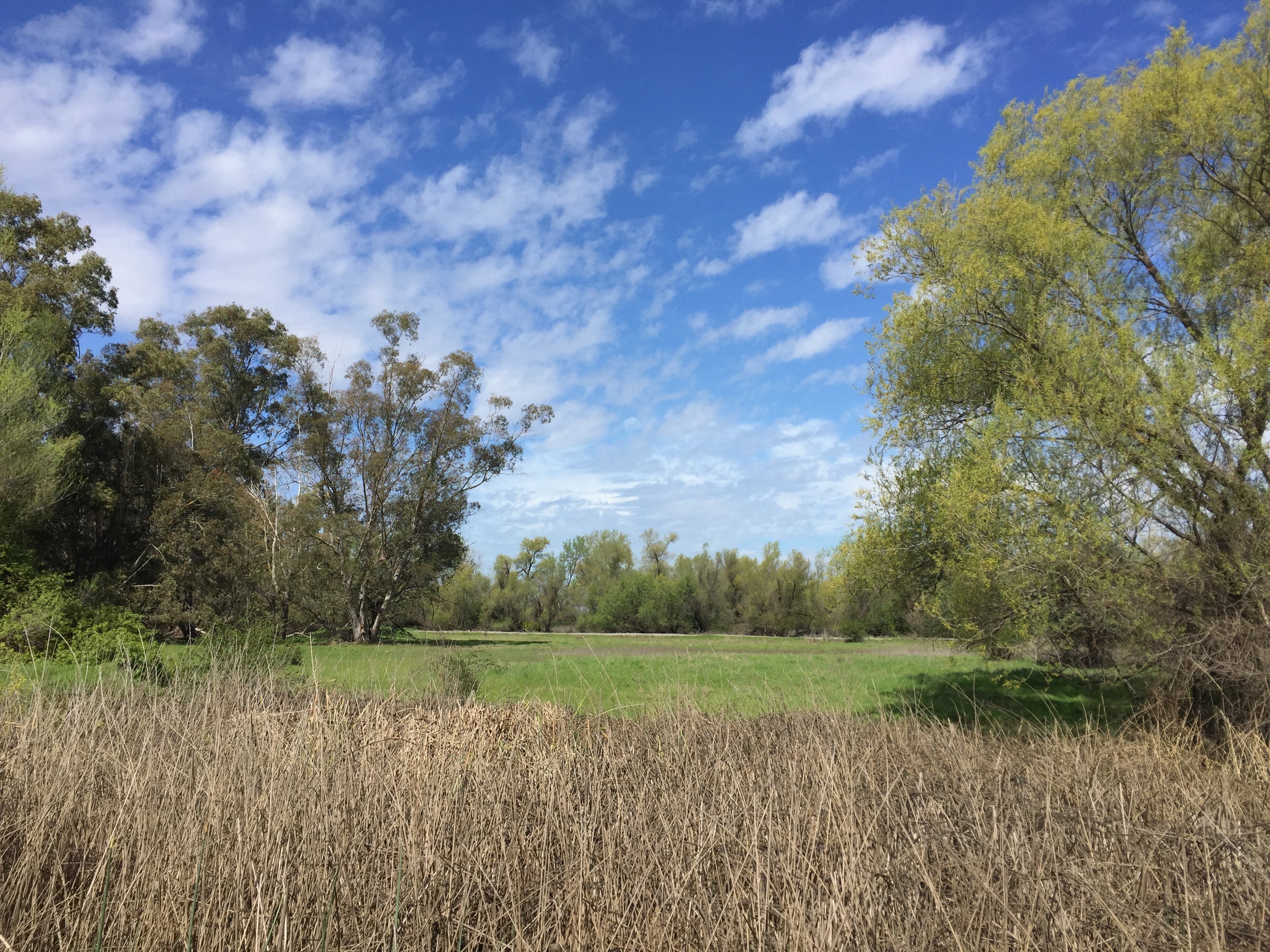
#hike2 #52HikeChallenge #hiking #GrayLodge

Majestic oak #trees in Manuel Vierra Park. #Gridley #California

Gray Lodge Gridley California
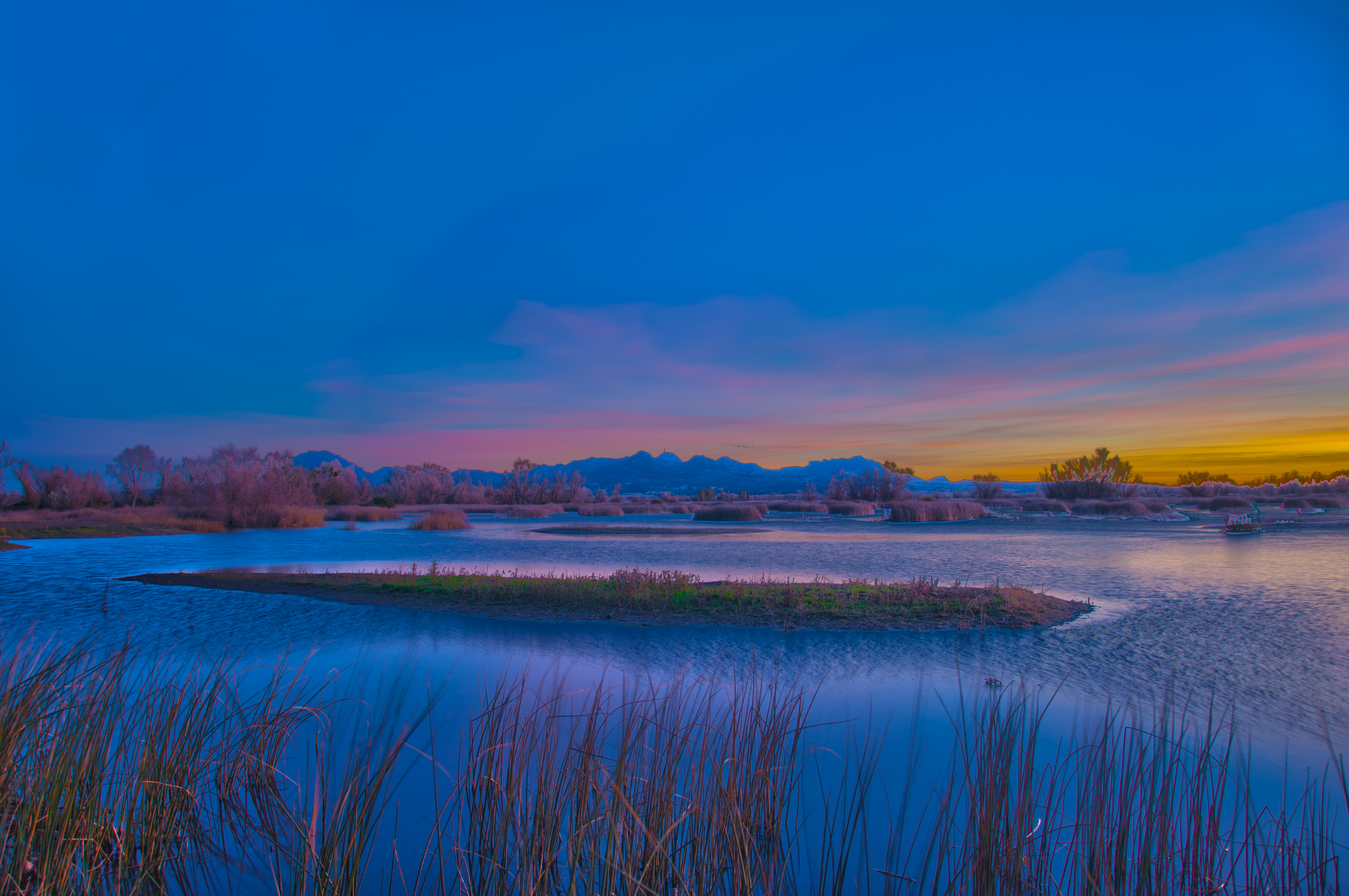
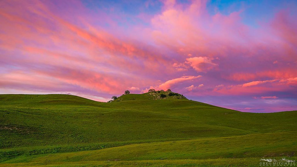
Sutter Butts at Sunset

#hike2 #52HikeChallenge #hiking #GrayLodge
Sunset at the Buttes. After six hours of driving and chasing wildflowers in the wind, I was finally rewarded with some big spring color. #suttercounty #sutterbuttes #ignorcal #visitcalifornia #spring2016 #gregmitchellphotography #tactilephoto

#hike2 #52HikeChallenge #hiking #GrayLodge
09.0525-JTP_2169

#hike2 #52HikeChallenge #hiking #GrayLodge #nature #outdoors

09.0525-JTP_2124
Topographic Map of N Butte Rd, Live Oak, CA, USA
Find elevation by address:

Places near N Butte Rd, Live Oak, CA, USA:
9704 N Butte Rd
9708 N Butte Rd
8476 Pennington Rd
11153 N Butte Rd
10756 Krehe Rd
Dean Place
Gridley, CA, USA
Sutter Buttes
Sutter Buttes
4540 Pennington Rd
1577 Block Rd
3712 Colusa Hwy
1235 Fredonia Ln
357 W Liberty Rd
1663 Kofford Rd
729 Justeson Ave
163 W Evans Reimer Rd
408 Randolph Ave
1293 Losser Ave
1775 Sycamore St
Recent Searches:
- Elevation of Corso Fratelli Cairoli, 35, Macerata MC, Italy
- Elevation of Tallevast Rd, Sarasota, FL, USA
- Elevation of 4th St E, Sonoma, CA, USA
- Elevation of Black Hollow Rd, Pennsdale, PA, USA
- Elevation of Oakland Ave, Williamsport, PA, USA
- Elevation of Pedrógão Grande, Portugal
- Elevation of Klee Dr, Martinsburg, WV, USA
- Elevation of Via Roma, Pieranica CR, Italy
- Elevation of Tavkvetili Mountain, Georgia
- Elevation of Hartfords Bluff Cir, Mt Pleasant, SC, USA