Elevation of Pedriceña, Dgo., Mexico
Location: Mexico > Durango > Cuencamé >
Longitude: -103.79222
Latitude: 25.1208333
Elevation: 1307m / 4288feet
Barometric Pressure: 87KPa
Elevation Map:
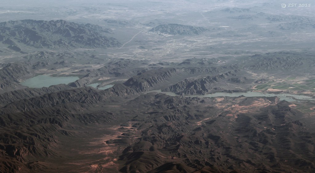
Satellite Map:
Related Photos:
Rio Nazas & Los Tortolas
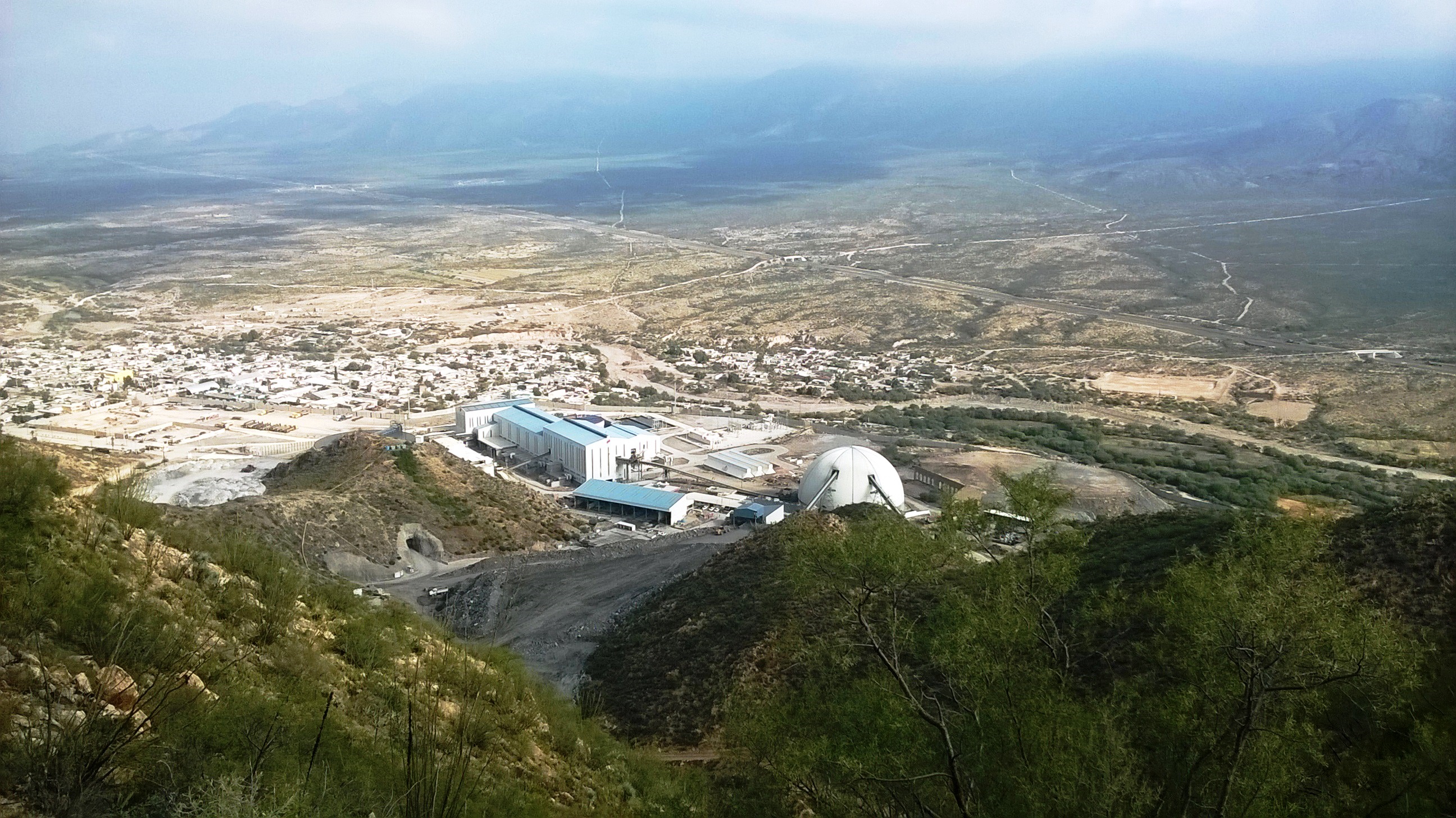
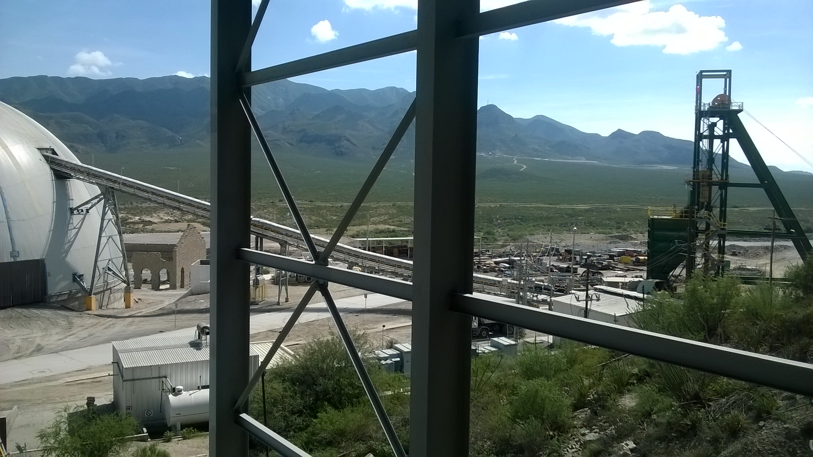
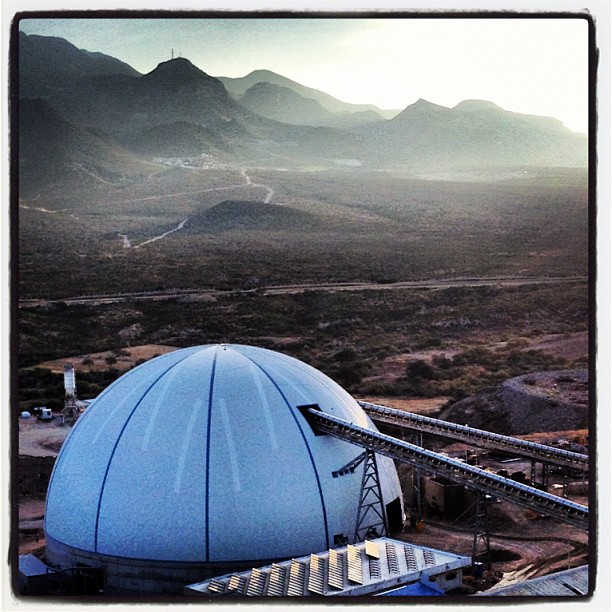
Mina Velardeña
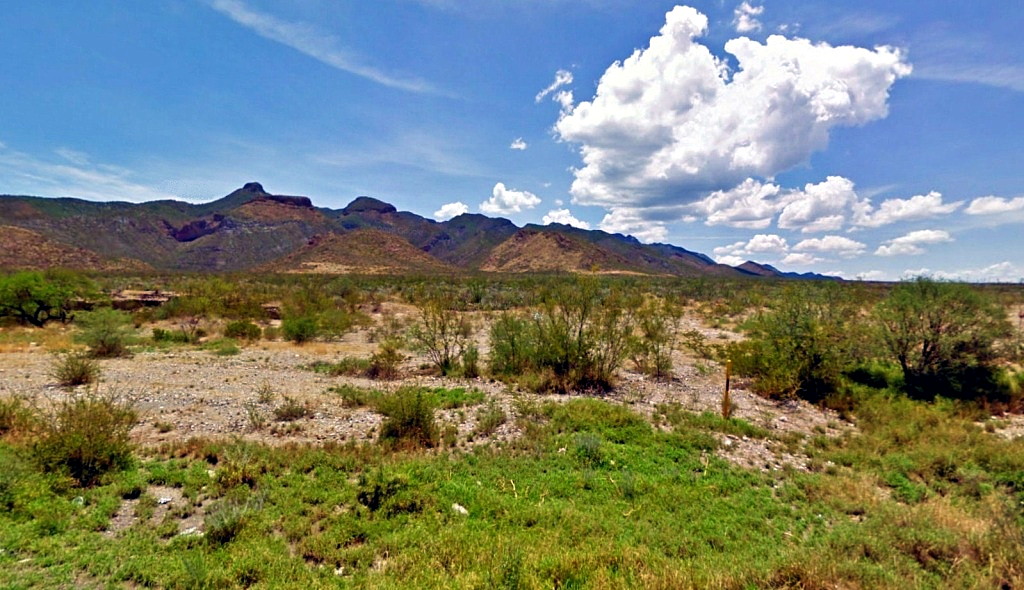
Cerros al Oriente de Pedriceña, Durango, hoy.
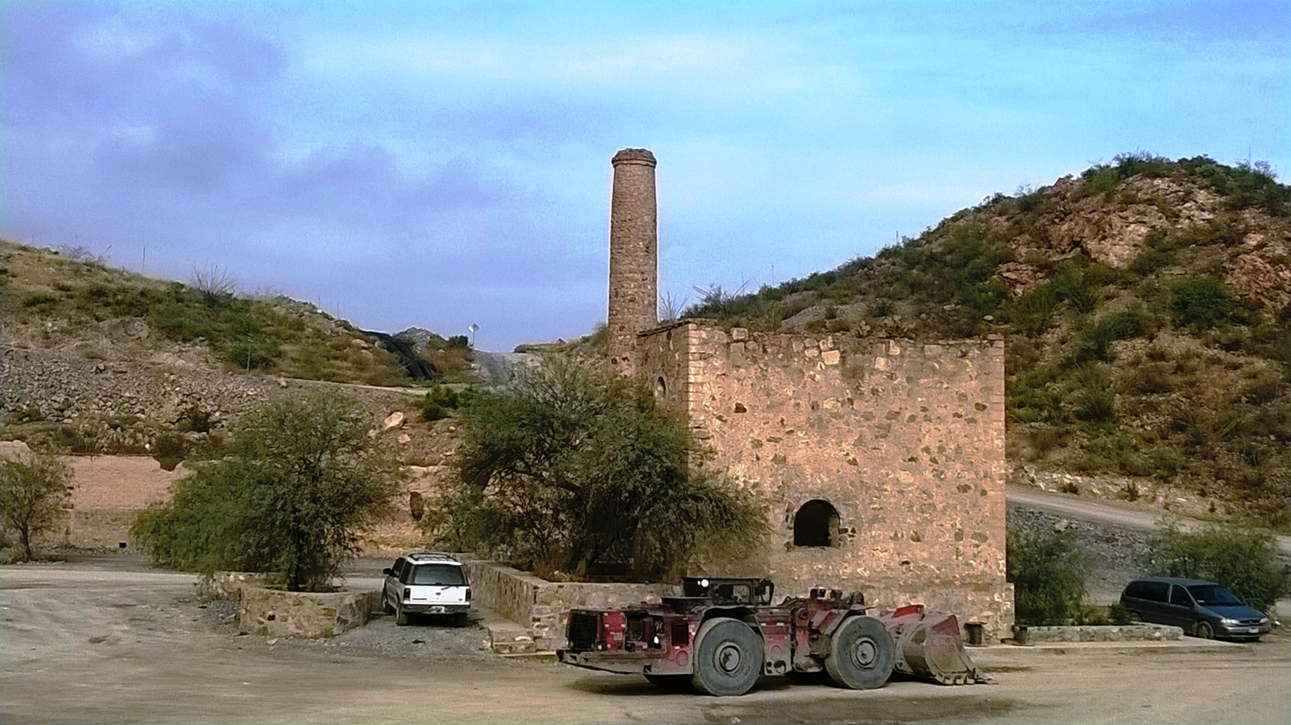
Back to a simpler era
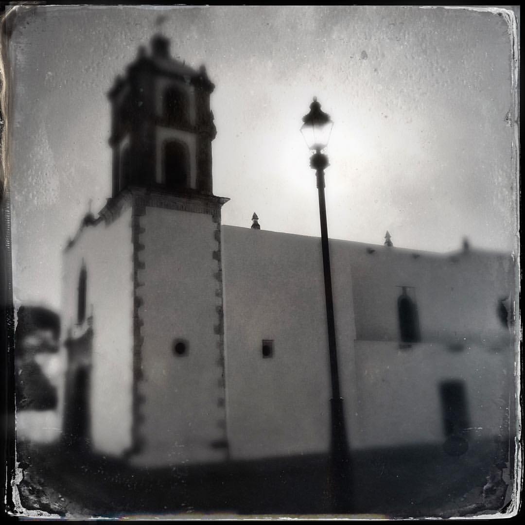
Velardeña 03
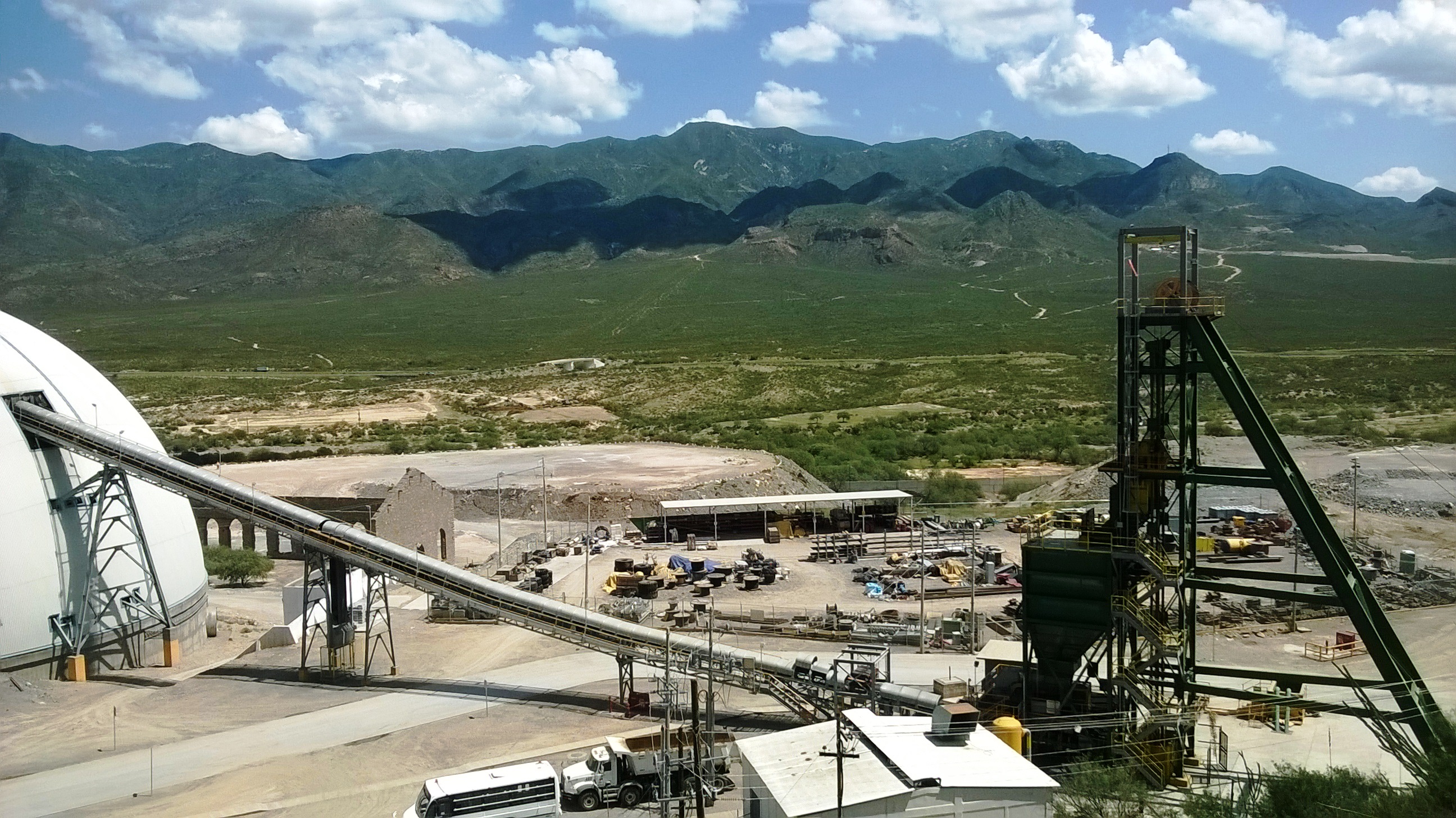
Velardeña 02
Velardeña 04
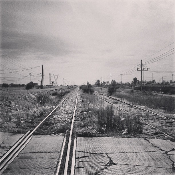
"She took the last train out of my heart" #RailTracks #durango #mexico #beautifulmx #onwayto #ontheroad #tour2013 #prtour2013 #willow #myinstashit
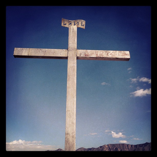
The cross
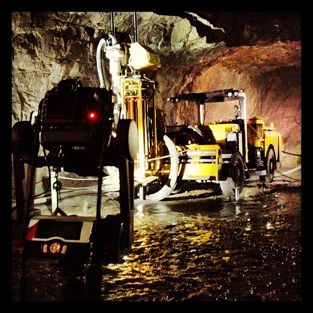
Gigapan inside the mine!
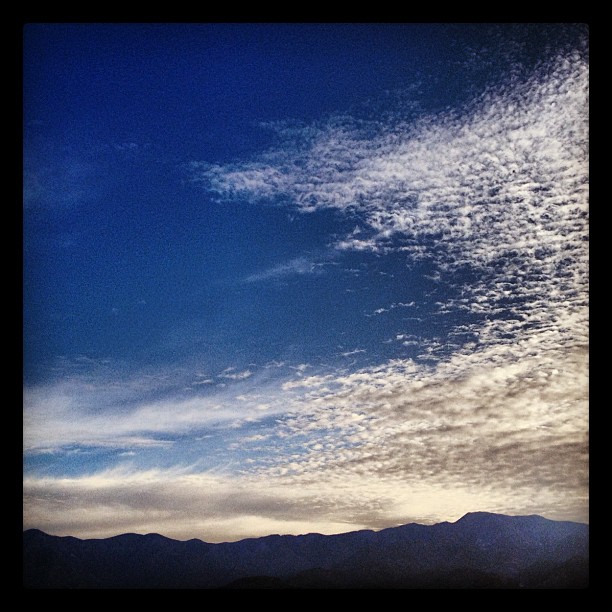
Clouds #cloud #sky
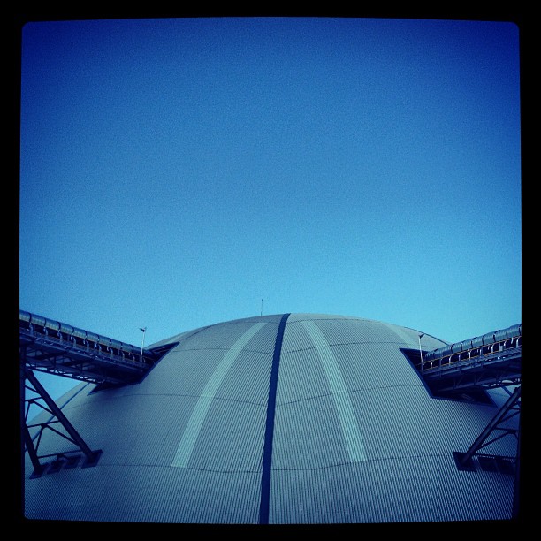
Stock Pile
Landed!
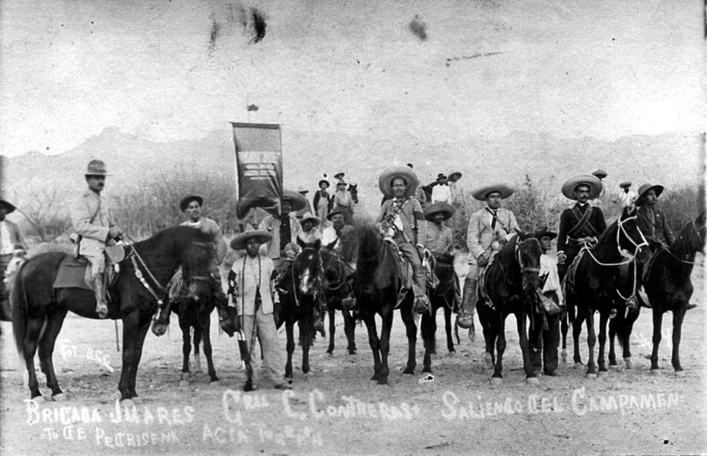
General Calixto Contreras y Brigada Juárez
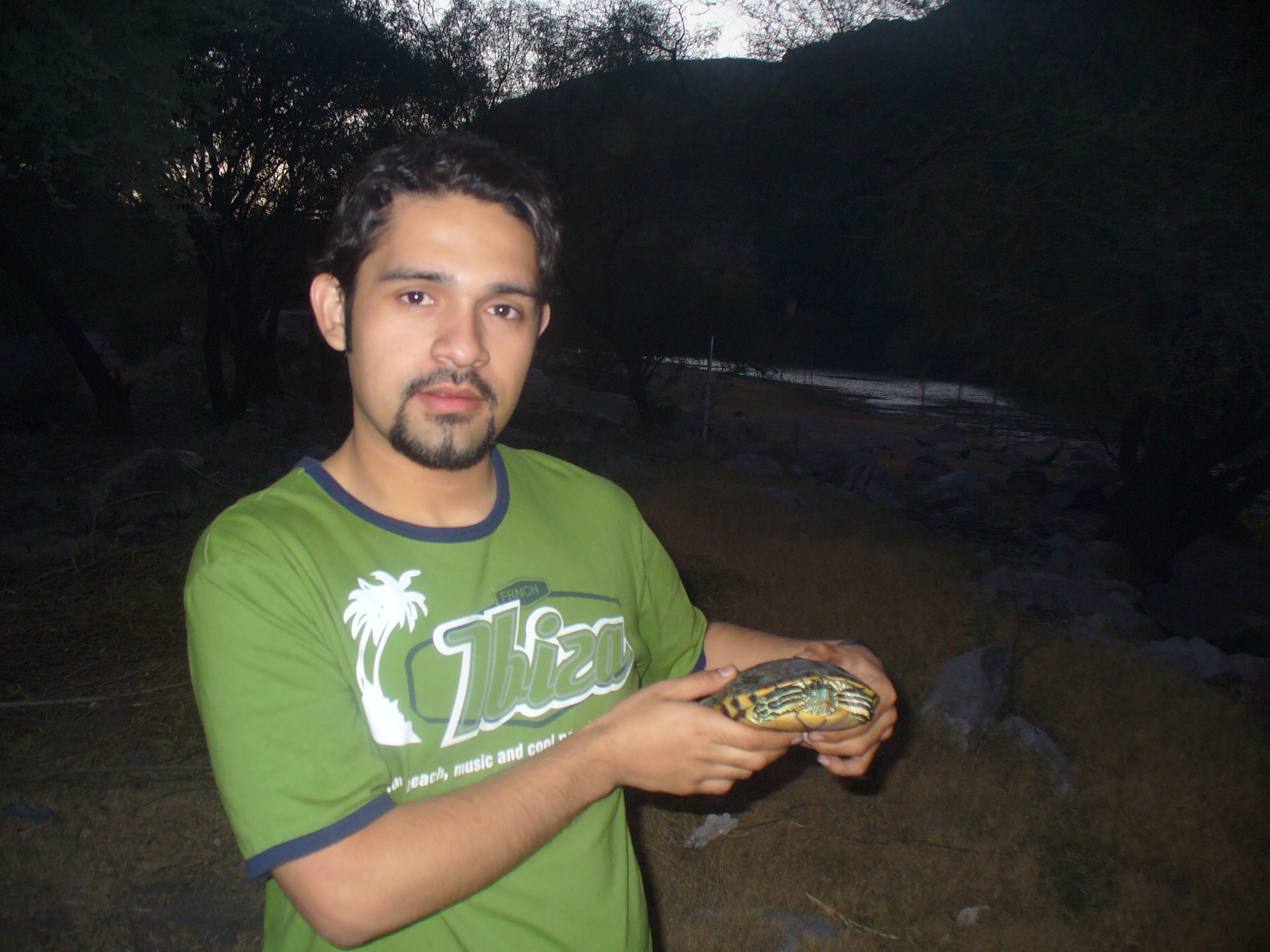
Yo y la tortuga

Mi Compadre y la tortuga
Topographic Map of Pedriceña, Dgo., Mexico
Find elevation by address:

Places near Pedriceña, Dgo., Mexico:
Velarde#a
Cuencamé
Peñón Blanco
Juan Aldama
Álvaro Obregón 22, Zona Centro, Juan Aldama, Zac., Mexico
Poanas Municipality
Recent Searches:
- Elevation of Falling Spring Rd, Clyde, NC, USA
- Elevation of Kingsfield St, Castle Rock, CO, USA
- Elevation of AMELIA CT HSE, VA, USA
- Elevation of Abbey Dr, Virginia Beach, VA, USA
- Elevation of Brooks Lp, Spearfish, SD, USA
- Elevation of Panther Dr, Maggie Valley, NC, USA
- Elevation of Jais St - Wadi Shehah - Ras al Khaimah - United Arab Emirates
- Elevation of Shawnee Avenue, Shawnee Ave, Easton, PA, USA
- Elevation of Scenic Shore Dr, Kingwood Area, TX, USA
- Elevation of W Prive Cir, Delray Beach, FL, USA