Elevation map of Cuencamé, Dgo., Mexico
Location: Mexico > Durango >
Longitude: -103.69658
Latitude: 24.8704778
Elevation: 1589m / 5213feet
Barometric Pressure: 84KPa
Elevation Map:
Satellite Map:
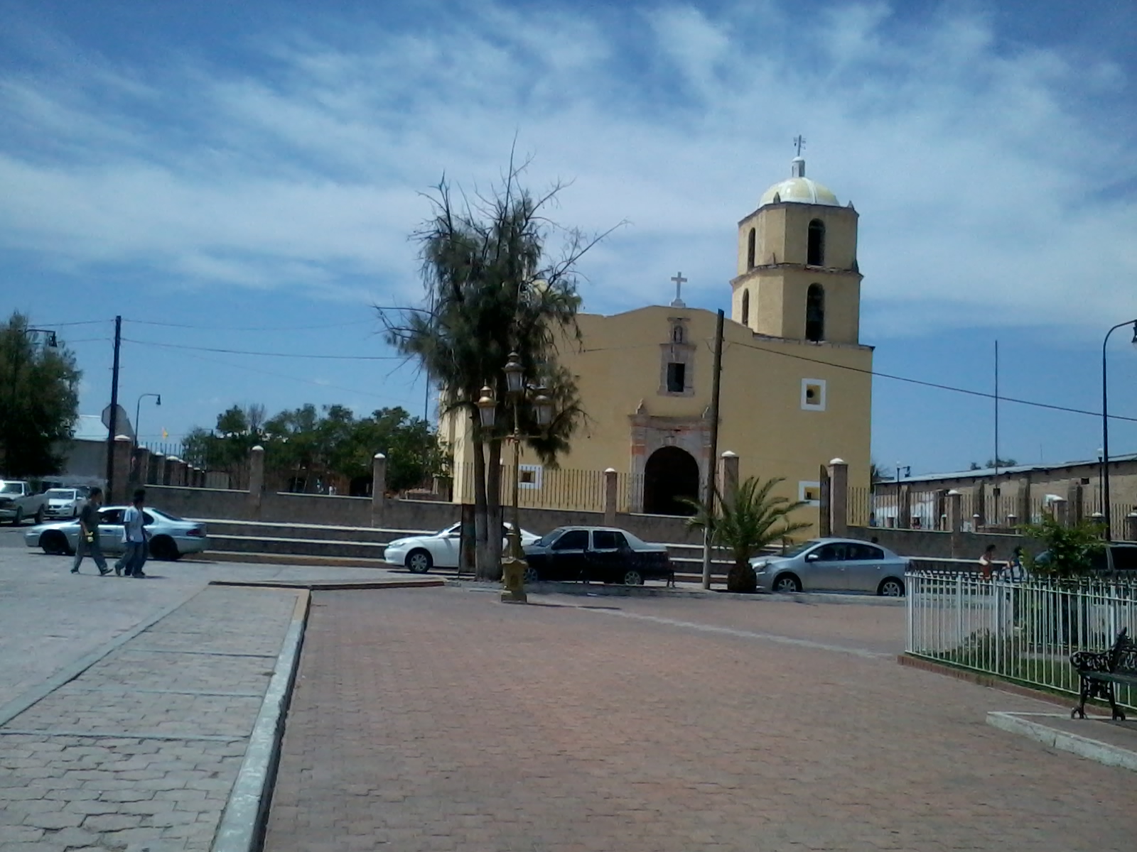
Related Photos:
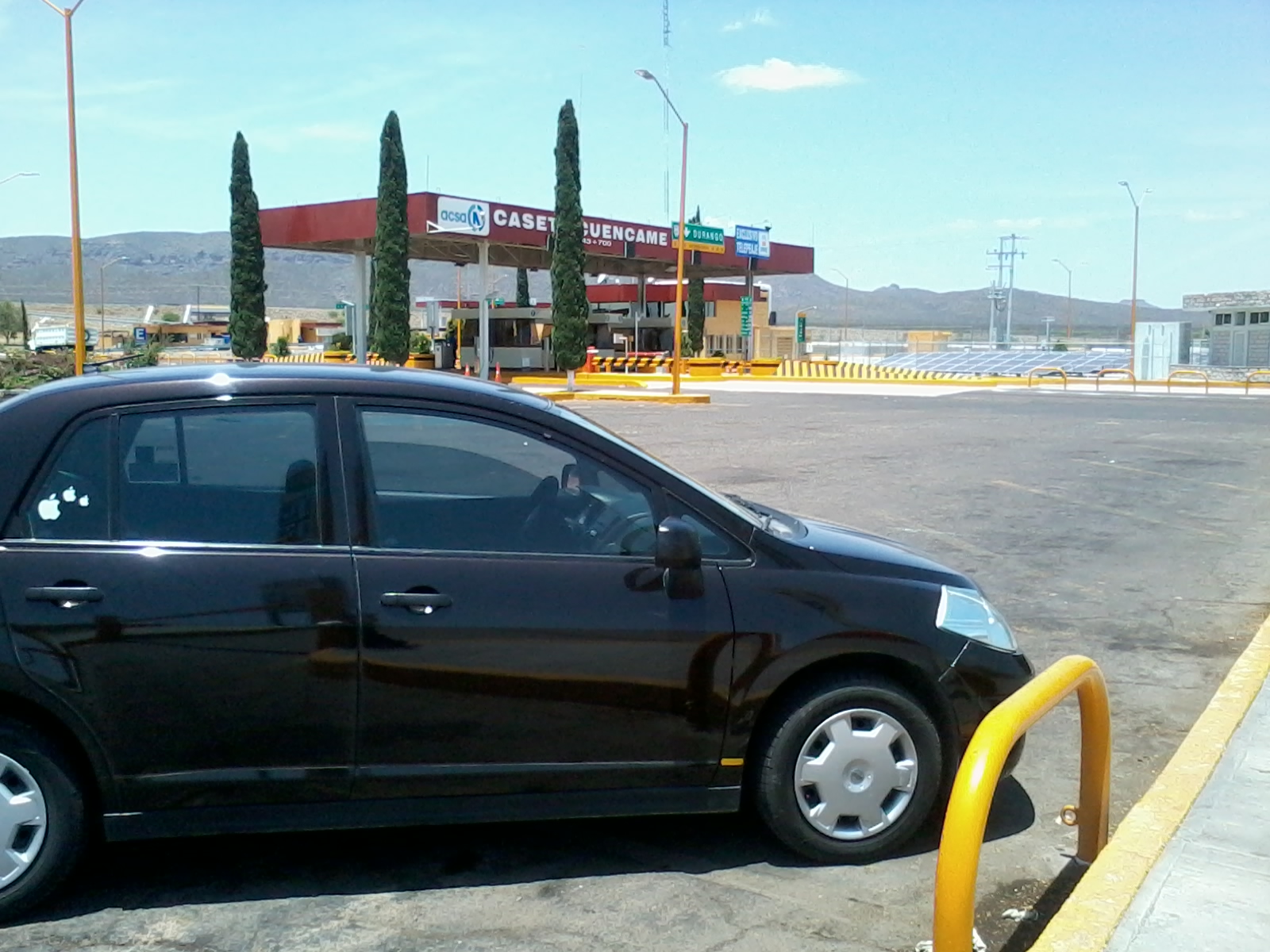
parking and rest

Cactus #mexico

Carrera 10K Cuencame
Camino a ver seres queridos

time and place
place more
Topographic Map of Cuencamé, Dgo., Mexico
Find elevation by address:

Places in Cuencamé, Dgo., Mexico:
Places near Cuencamé, Dgo., Mexico:
Velarde#a
Pedriceña
Peñón Blanco
Juan Aldama
Álvaro Obregón 22, Zona Centro, Juan Aldama, Zac., Mexico
Poanas Municipality
Recent Searches:
- Elevation of Congressional Dr, Stevensville, MD, USA
- Elevation of Bellview Rd, McLean, VA, USA
- Elevation of Stage Island Rd, Chatham, MA, USA
- Elevation of Shibuya Scramble Crossing, 21 Udagawacho, Shibuya City, Tokyo -, Japan
- Elevation of Jadagoniai, Kaunas District Municipality, Lithuania
- Elevation of Pagonija rock, Kranto 7-oji g. 8"N, Kaunas, Lithuania
- Elevation of Co Rd 87, Jamestown, CO, USA
- Elevation of Tenjo, Cundinamarca, Colombia
- Elevation of Côte-des-Neiges, Montreal, QC H4A 3J6, Canada
- Elevation of Bobcat Dr, Helena, MT, USA