Elevation of Peak 32-52, Northern Rockies B, BC V0C, Canada
Location: Canada > British Columbia > Northern Rockies > Northern Rockies B >
Longitude: -124.86833
Latitude: 58.5413888
Elevation: 1691m / 5548feet
Barometric Pressure: 83KPa
Elevation Map:
Satellite Map:
Related Photos:
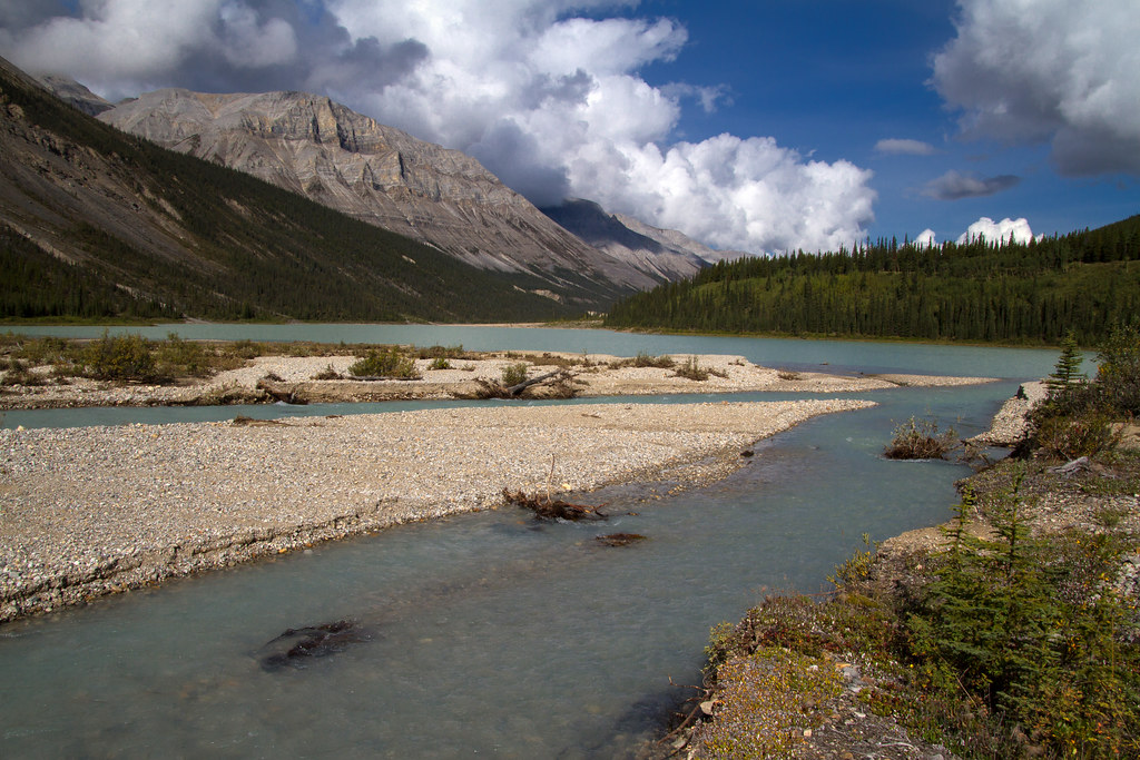
After the Storm, Beautiful Views Return
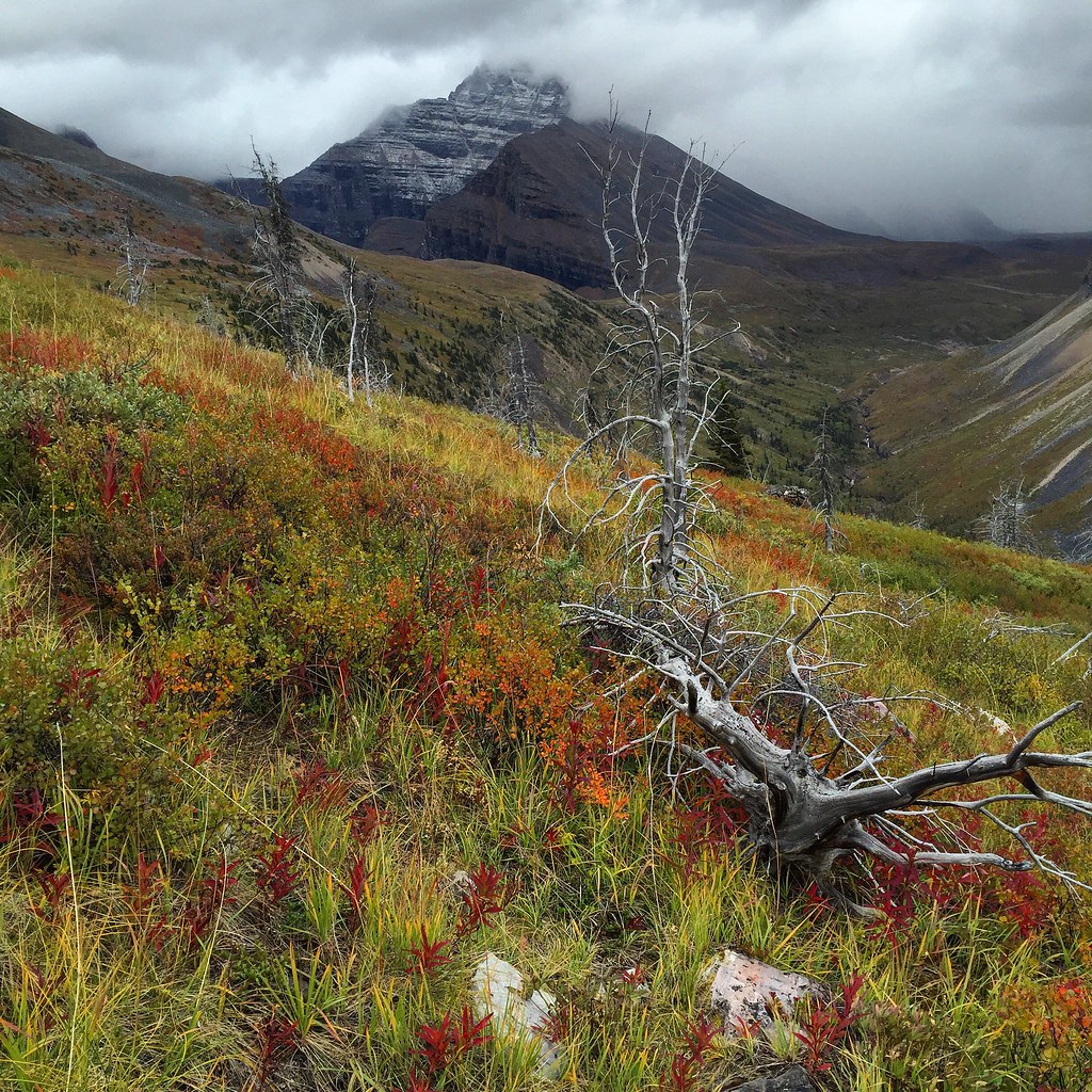
2015 Day 237 - Ascending Plug Creek to the Alpine Valleys of Macdonald Creek
Topographic Map of Peak 32-52, Northern Rockies B, BC V0C, Canada
Find elevation by address:

Places near Peak 32-52, Northern Rockies B, BC V0C, Canada:
Mount Saint Sepulchre
Mount Saint Paul
Saddleback Peak
Mount Sylvia
Mount Shawcross
Mount Smythe
Tetsa River Lodge
Walsh E
Gautier Peak
Muskwa River
Gathto Cr
Cloudmaker Mountain
Lombard Peak
Muskwa Peak
Mount Gary Powell
Blue Light Peak
Horseshoe Mountain
Ipec Lake
South Gathto Creek
Prophet R-muskwa R
Recent Searches:
- Elevation of Corso Fratelli Cairoli, 35, Macerata MC, Italy
- Elevation of Tallevast Rd, Sarasota, FL, USA
- Elevation of 4th St E, Sonoma, CA, USA
- Elevation of Black Hollow Rd, Pennsdale, PA, USA
- Elevation of Oakland Ave, Williamsport, PA, USA
- Elevation of Pedrógão Grande, Portugal
- Elevation of Klee Dr, Martinsburg, WV, USA
- Elevation of Via Roma, Pieranica CR, Italy
- Elevation of Tavkvetili Mountain, Georgia
- Elevation of Hartfords Bluff Cir, Mt Pleasant, SC, USA