Elevation map of Northern Rockies, BC, Canada
Location: Canada > British Columbia >
Longitude: -123.41275
Latitude: 58.8231929
Elevation: 364m / 1194feet
Barometric Pressure: 97KPa
Elevation Map:
Satellite Map:
Related Photos:
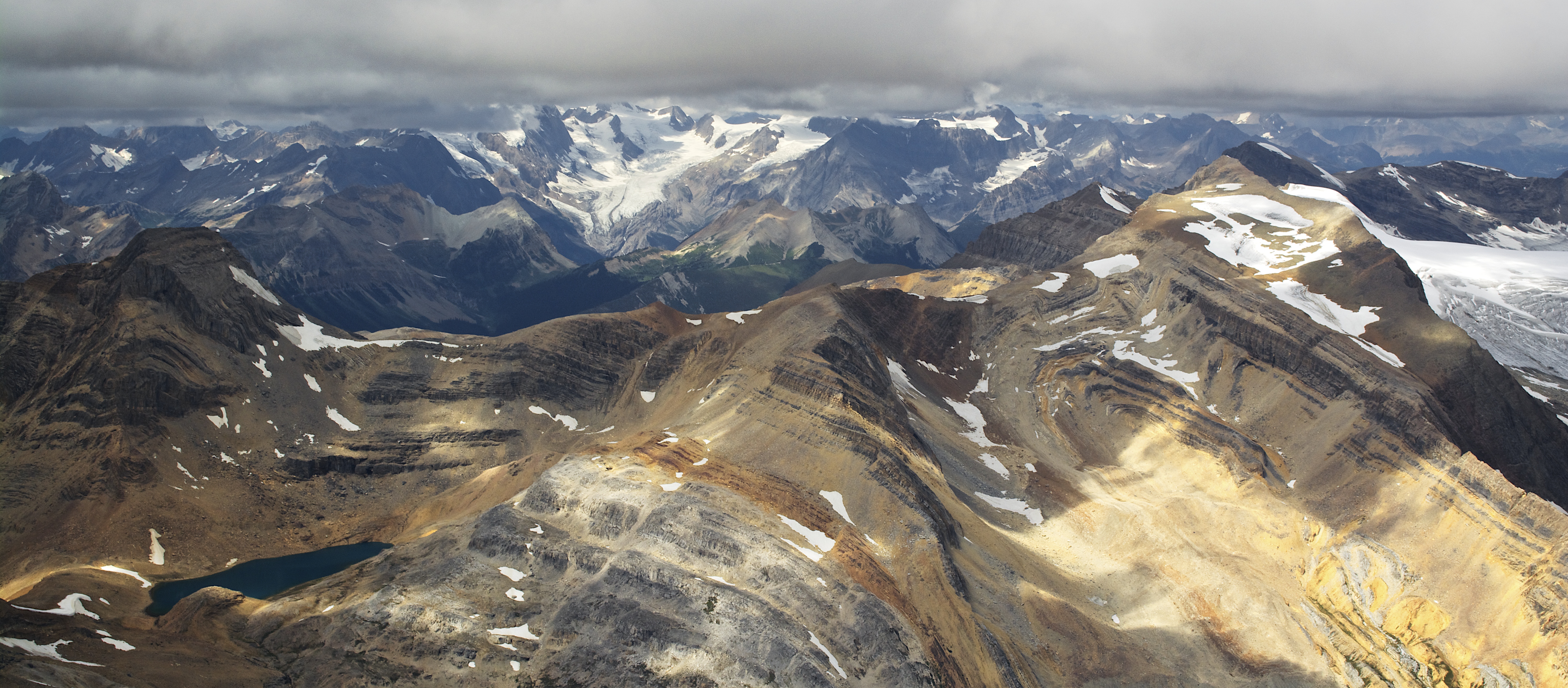
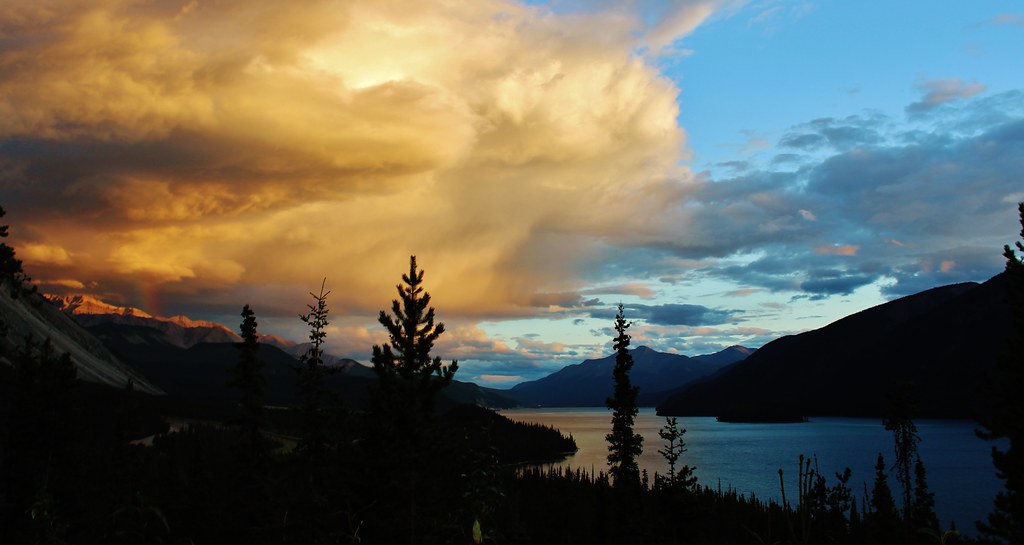
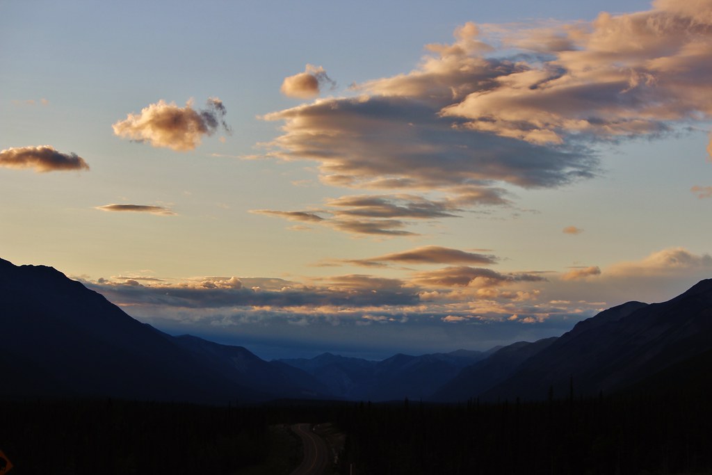
Northern Longing
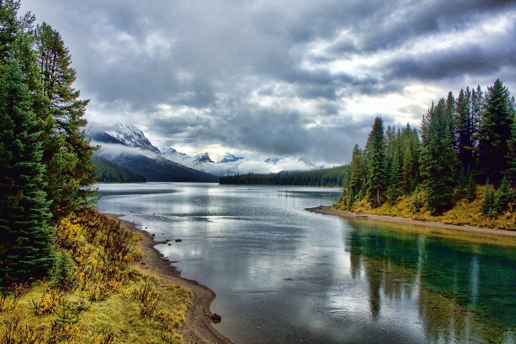
Maligne Lake Road
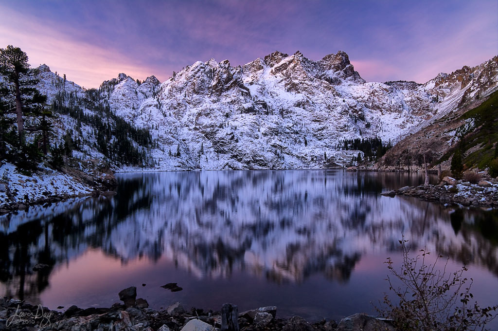
Sierra Buttes at Upper Sardine Lake
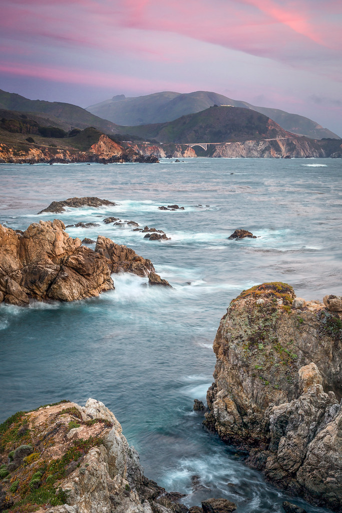
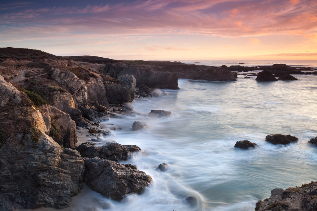
Rocky Creek Bridge from Rocky Point - Big Sur, CA
IMG_6142 (2)
Northern California Costal Winter Scene
Zirkel Zone Zest
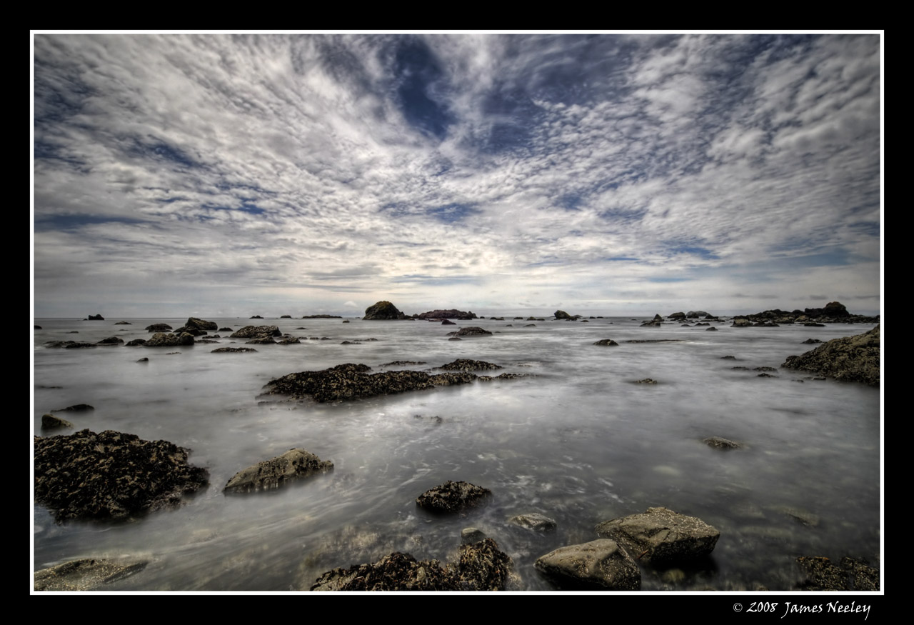
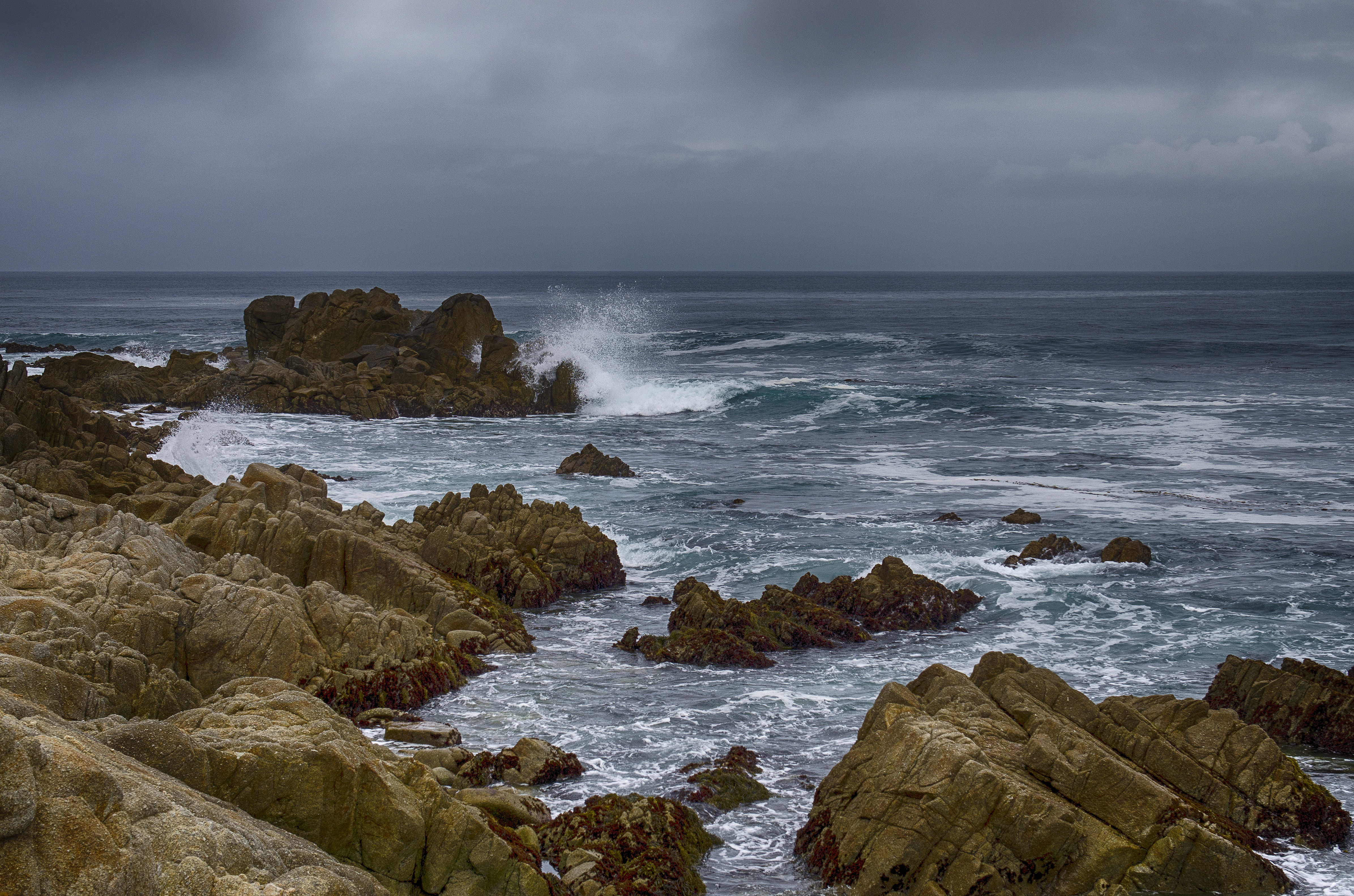
Low Tide

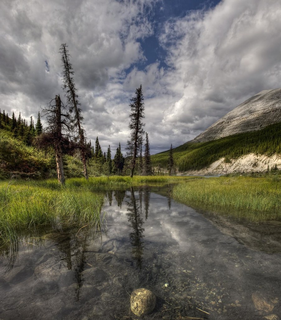
Pond on the Beartooth
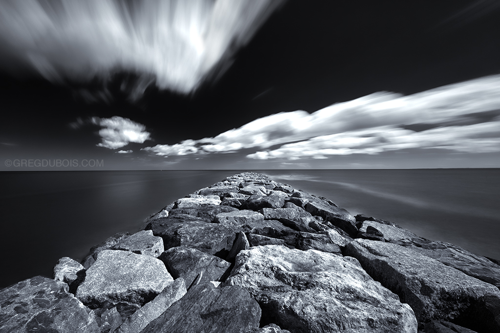
Plum Island Massachusetts, Daytime Long Exposure of Cumulous Clouds clearing to Atlantic Ocean over Jetty
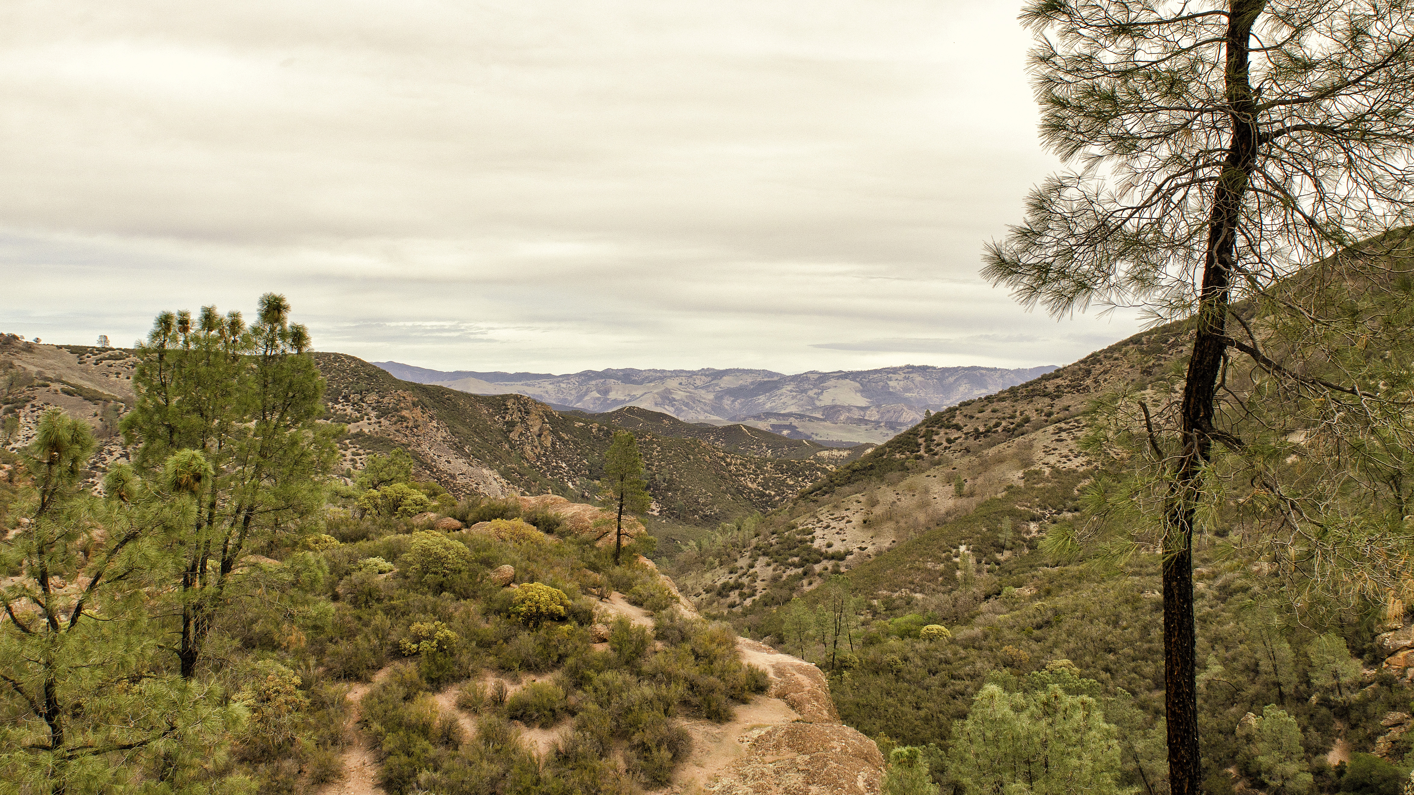
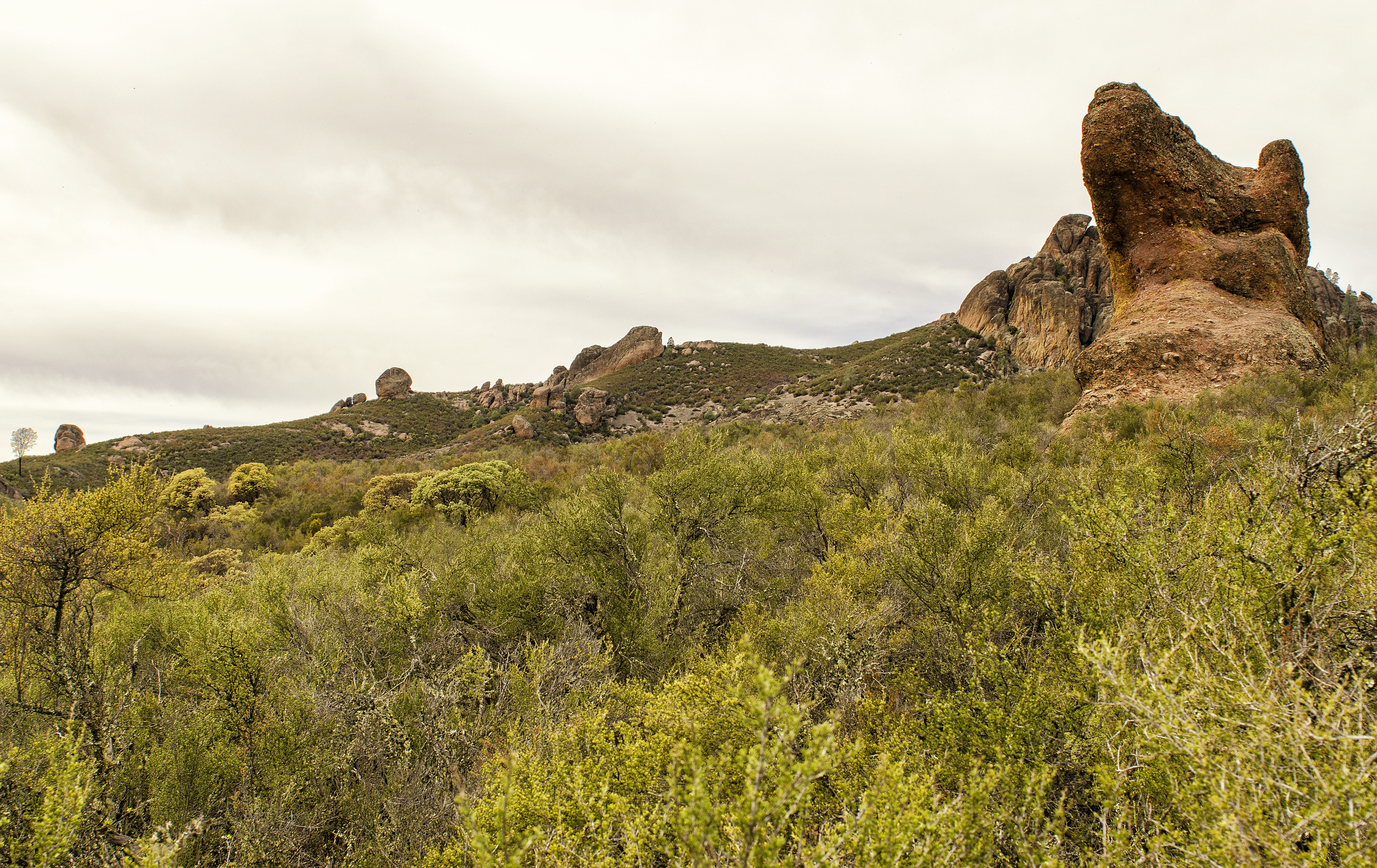
Vast Views - Pinnacles

Carrick-a-Rede Rope Bridge - Antrim - Northern Ireland
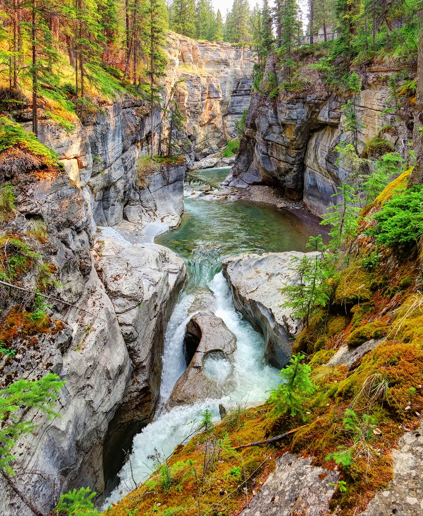
Maligne Canyon
Hello, Dolly
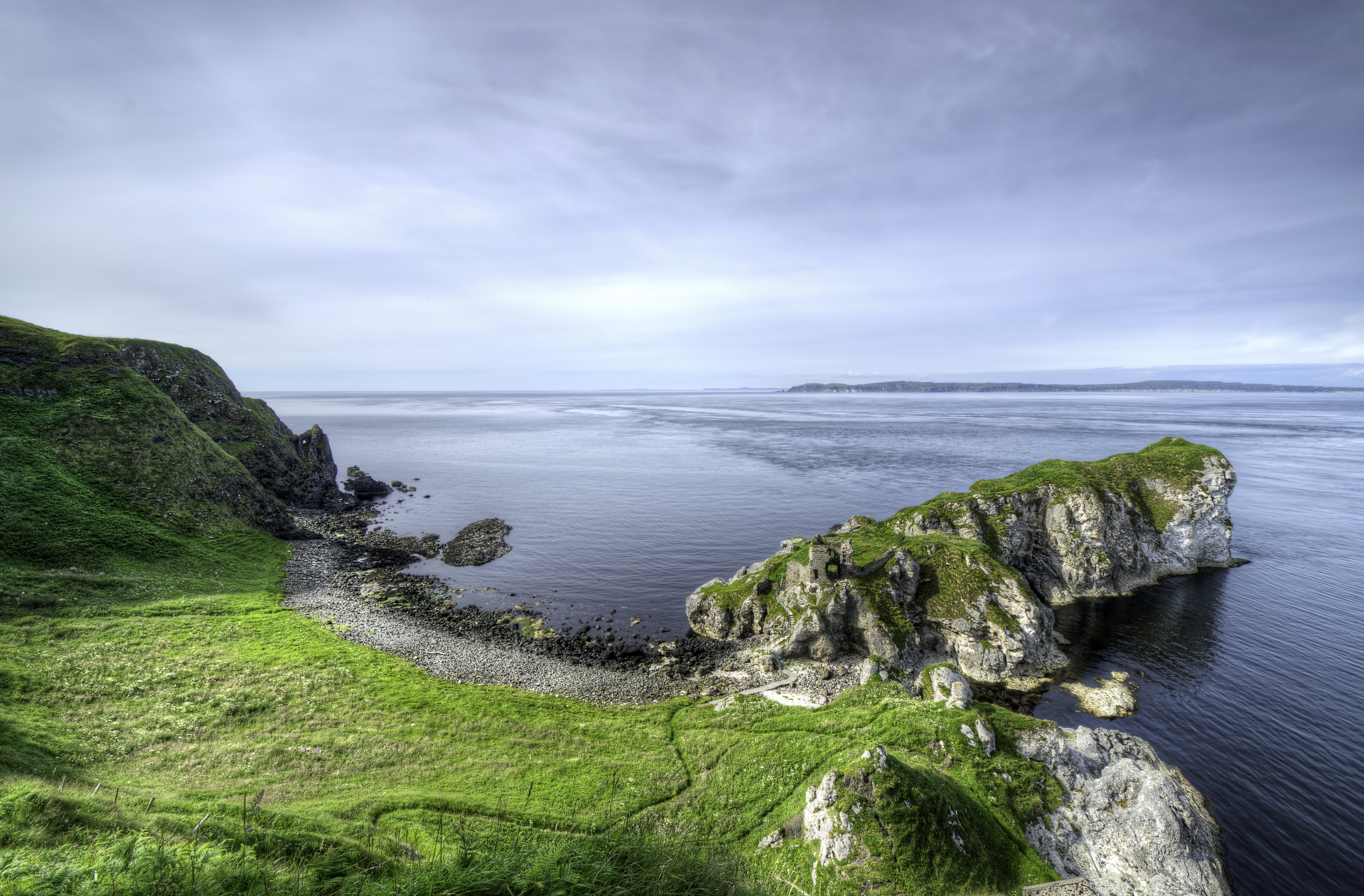
Kinbane Castle
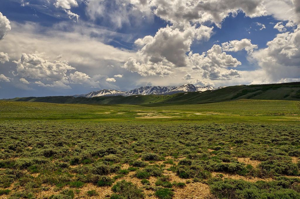
Western Landscape
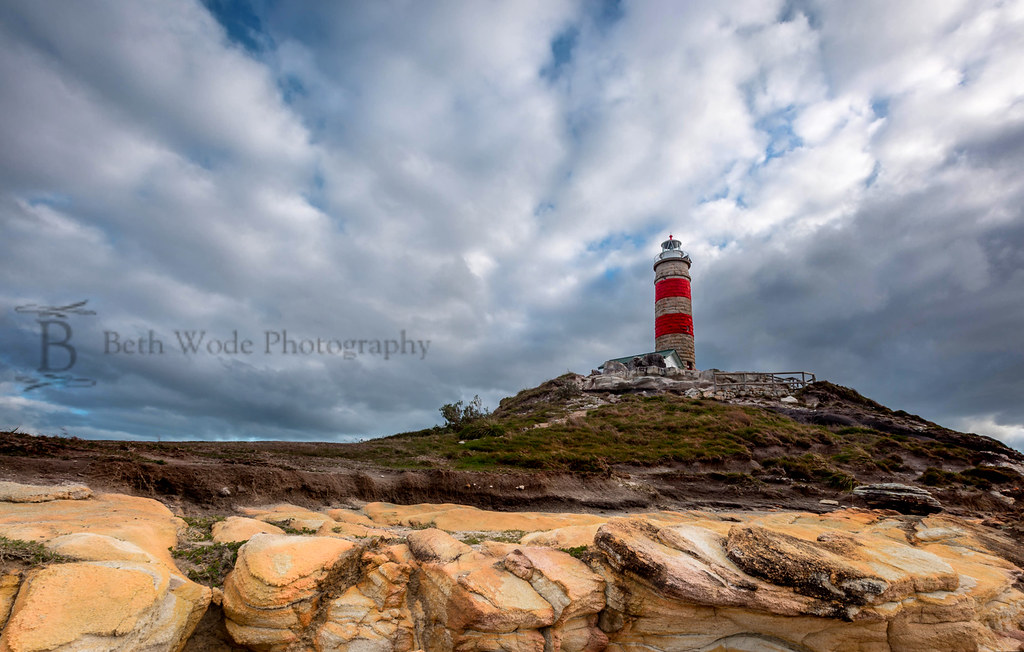
Cape Moreton
Glass Beach Sunset
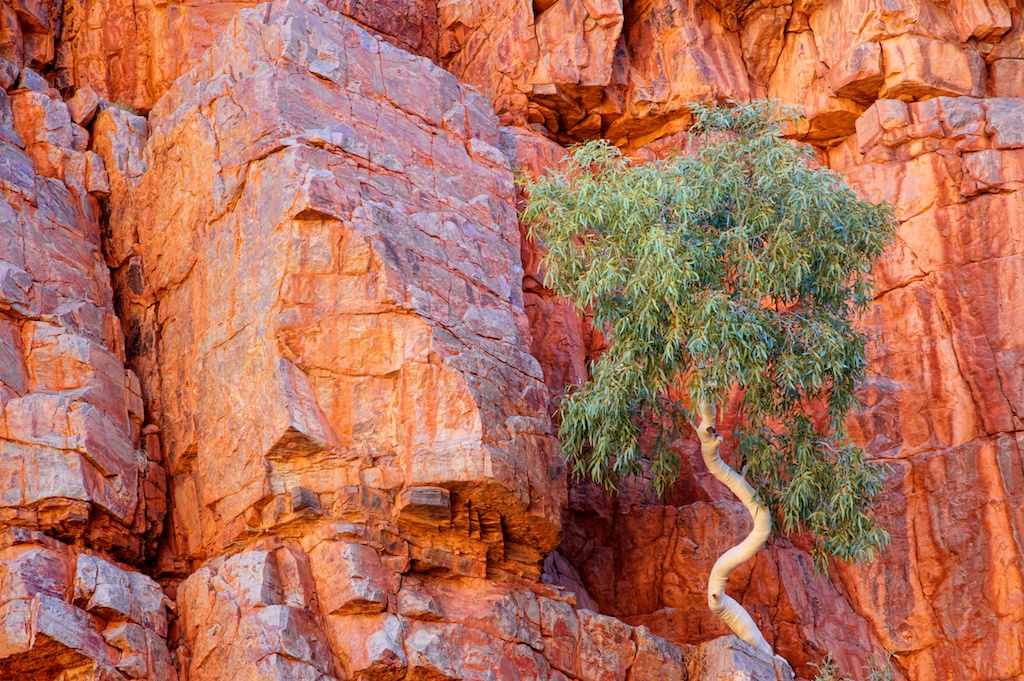
Ghost Gum, Ormiston Gorge_img 0060
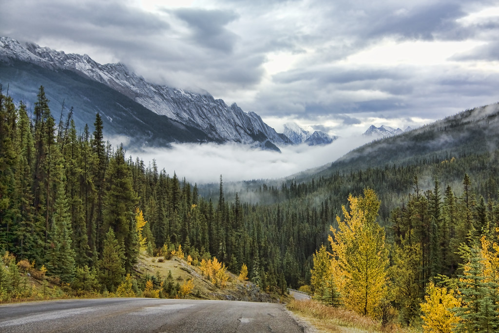
Maligne Lake Road, Alberta
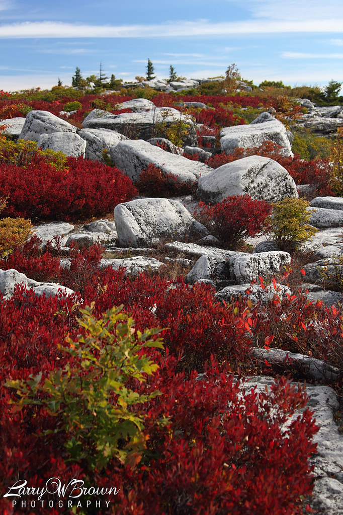
Crystal Castle
Crystal Clear
IMG_6046 (2)
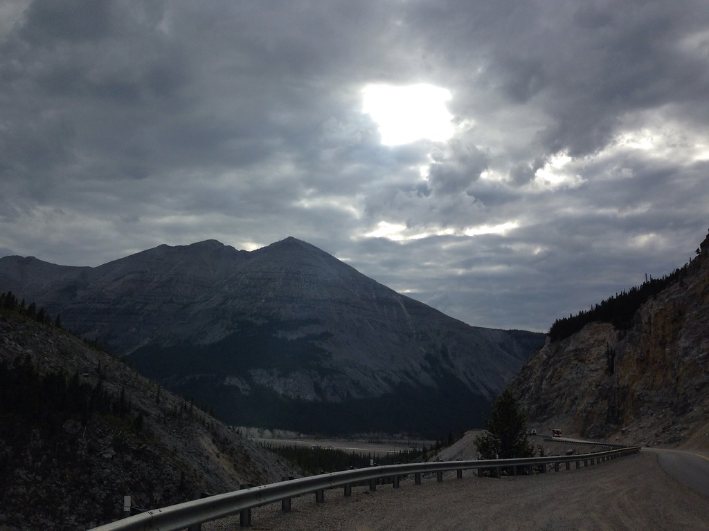
Oh the Alaskan highway. Well all we are still alive and well and staying in a lovely cabin on the water at Toad River, B.C., Canada. If your close, stop by :)
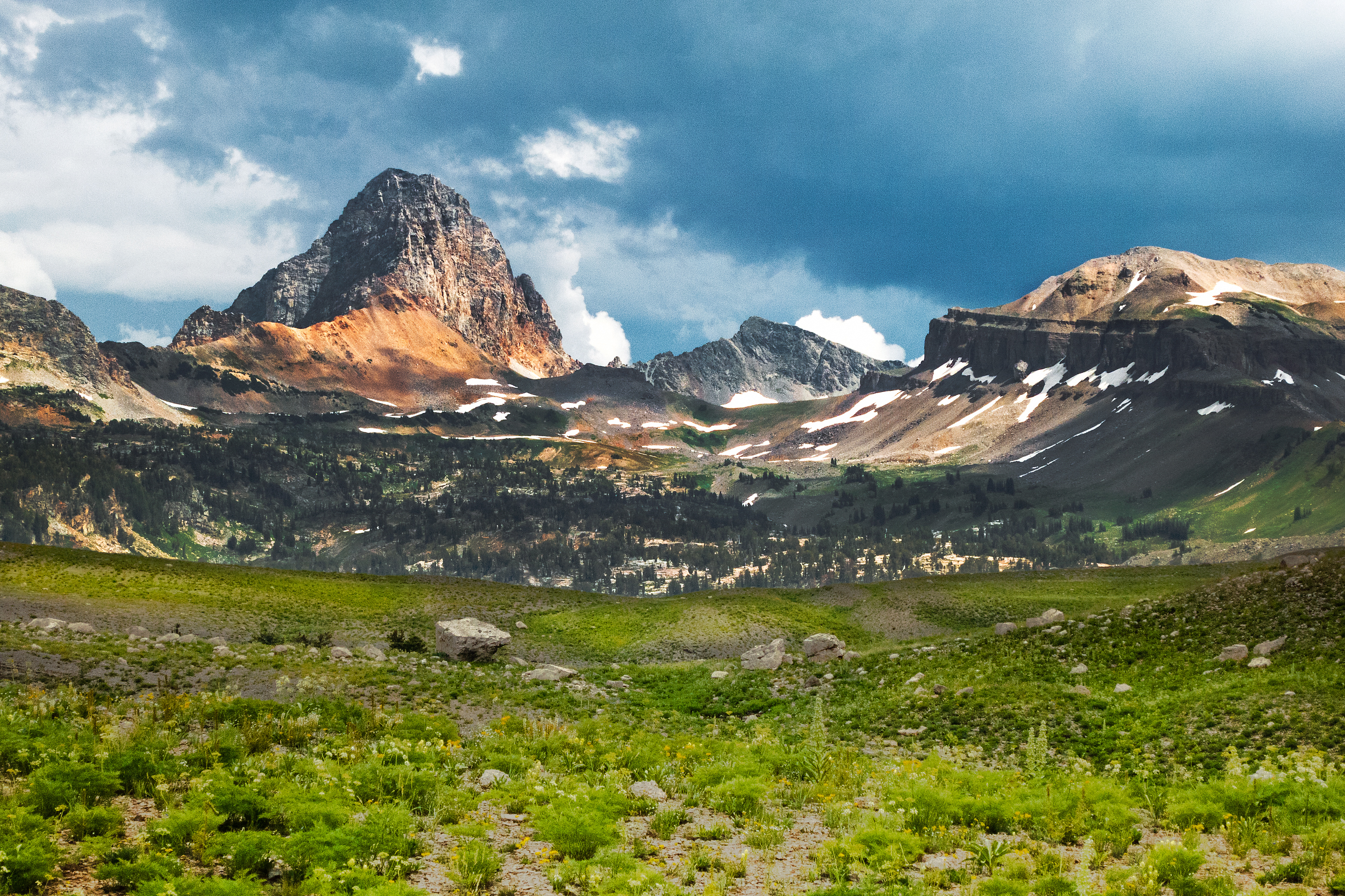
Teton Range, Alaska Basin
Smoothly Moving Downwards

Little Cottonwood Canyon, Snowbird, Utah
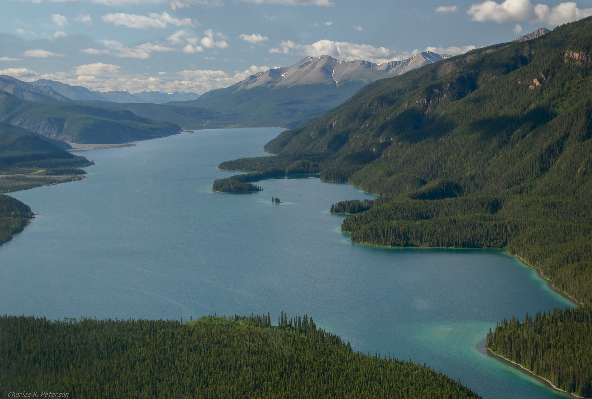
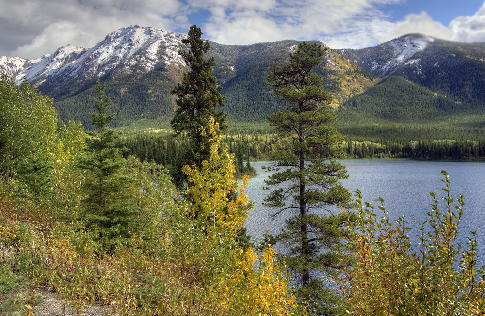
Muncho Lake - British Columbia
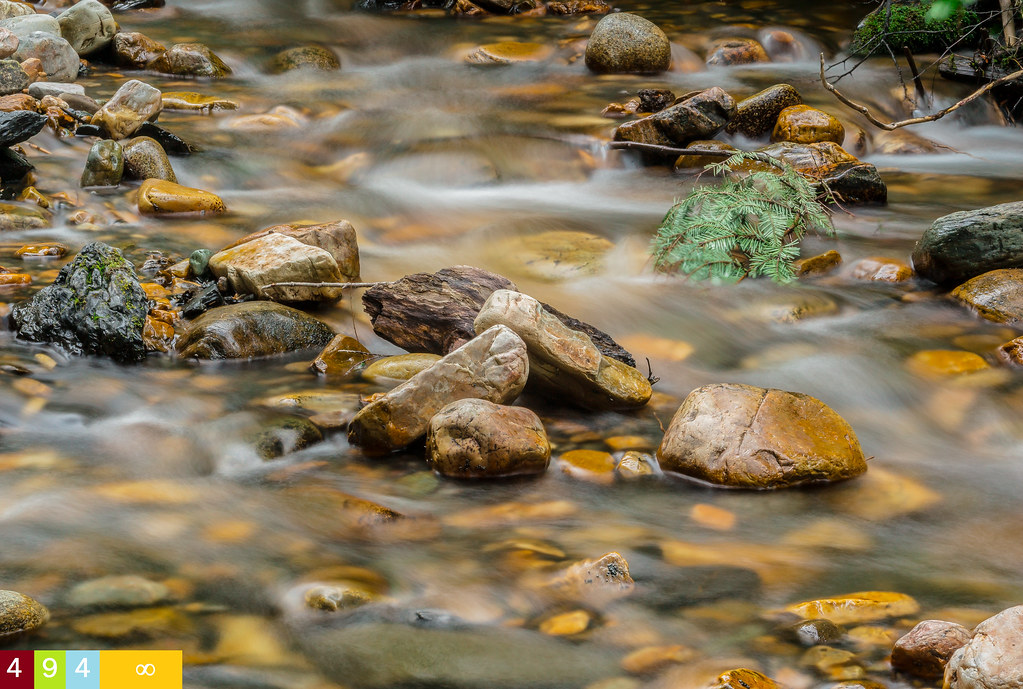
Sand Creek Milk
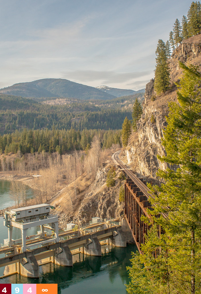
Quite the Dam (Part 5): Box Canyon Dam

Reynolds Paradise
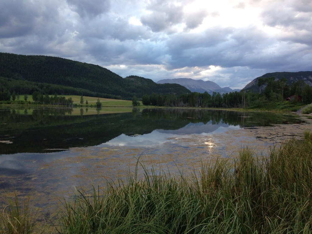
Watson Lake, Yukon, To Fort Nelson, British Columbia, Canada

giants of the North
Sweet Falls of Solitude
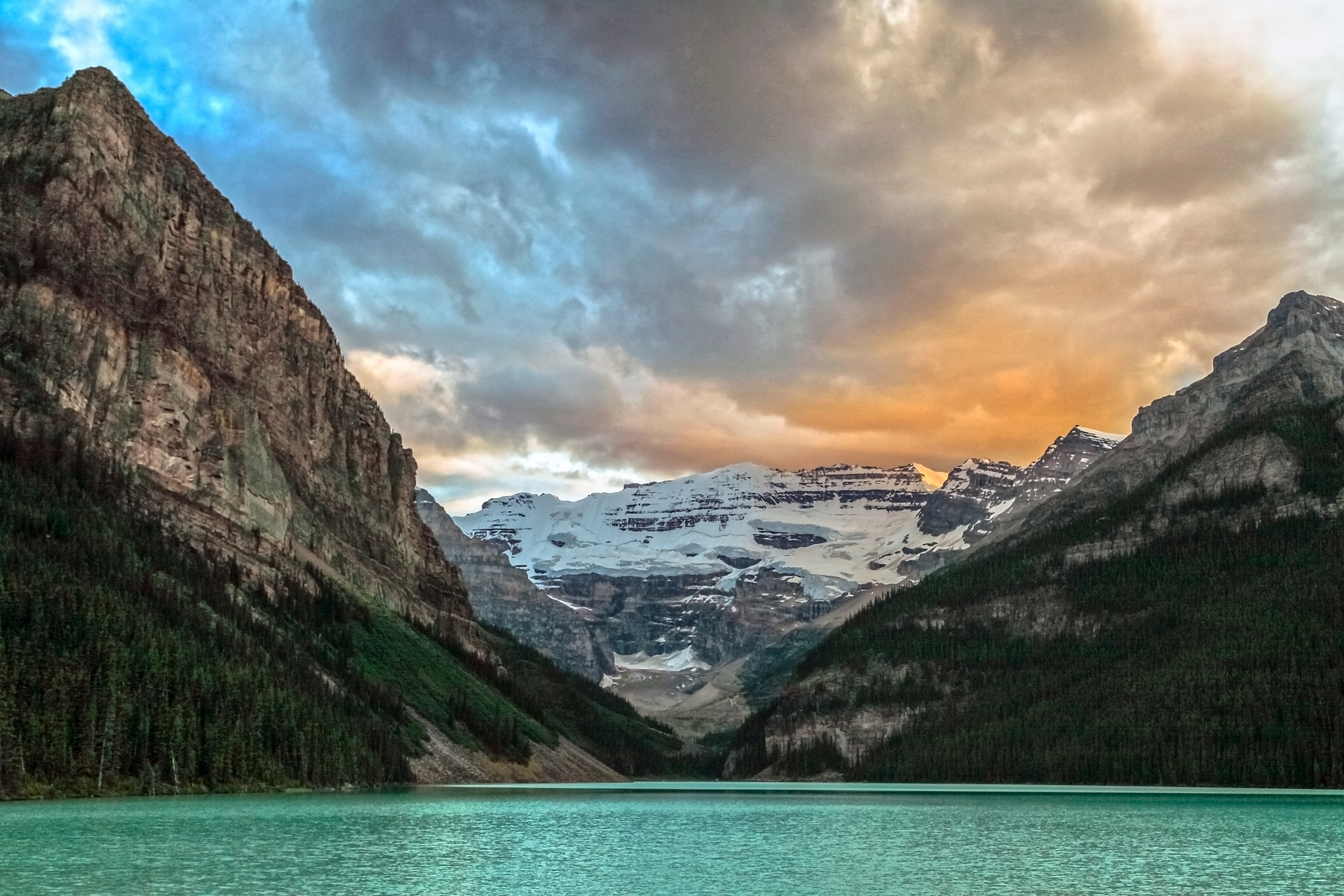
Sundown, Lake Louise
Morning from Toad River! It rained all night here but it was so wonderful :)
Northern Rockies
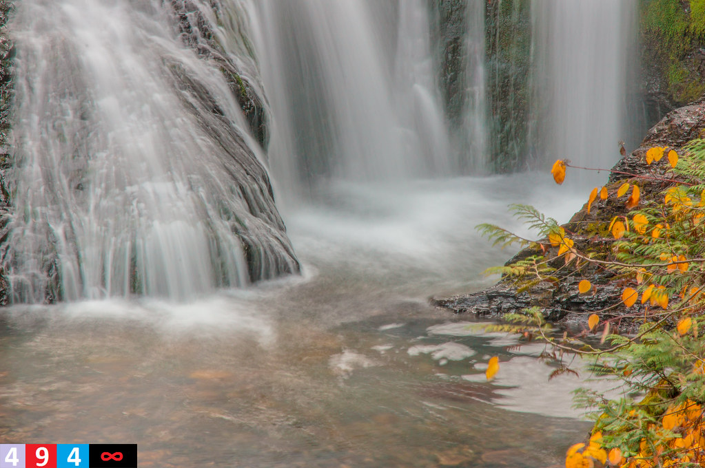
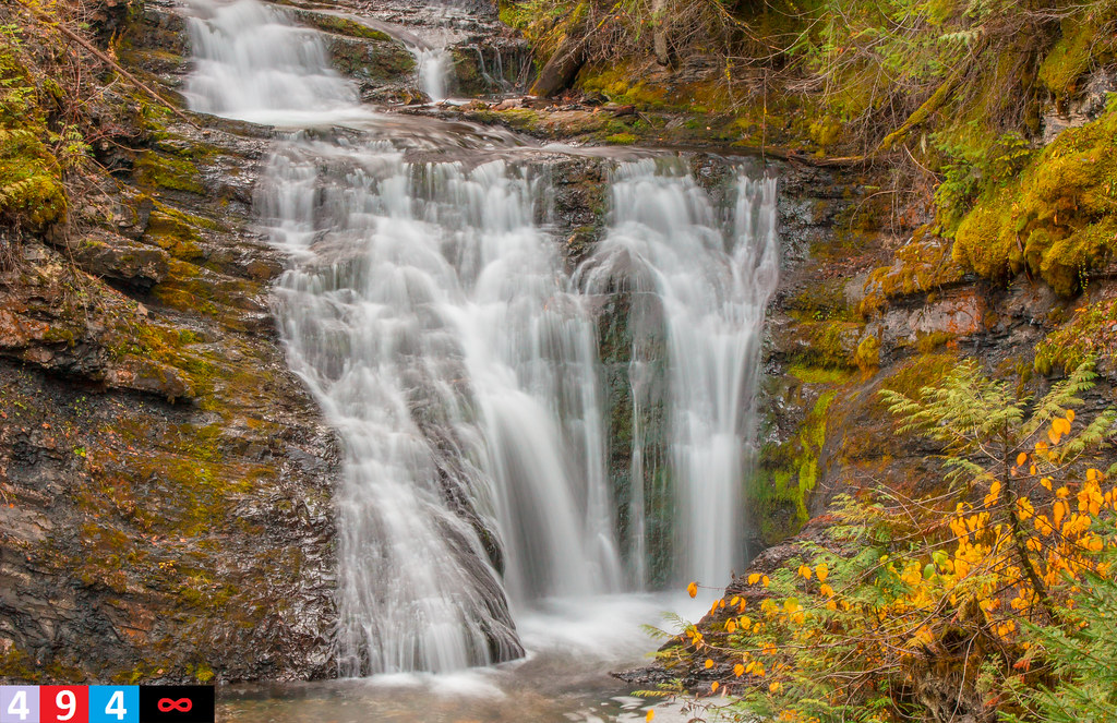
Sweet Falls of Solitude (Part 5)
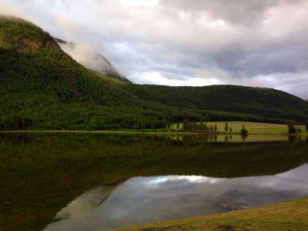
The view from my cabin at Toad River.

Muncho Lake!
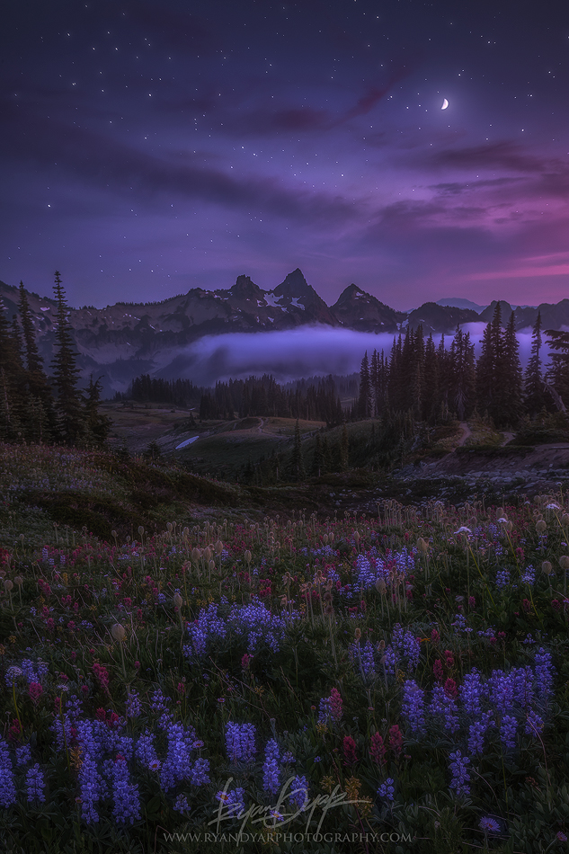
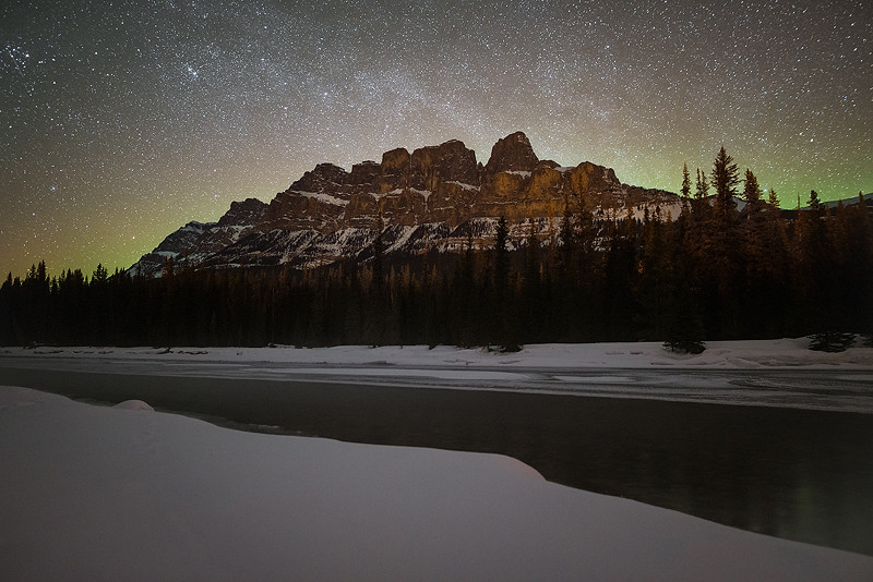
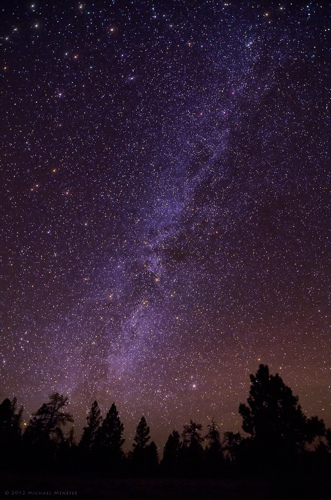
Night Watch
Topographic Map of Northern Rockies, BC, Canada
Find elevation by address:

Places in Northern Rockies, BC, Canada:
Places near Northern Rockies, BC, Canada:
Recent Searches:
- Elevation of Corso Fratelli Cairoli, 35, Macerata MC, Italy
- Elevation of Tallevast Rd, Sarasota, FL, USA
- Elevation of 4th St E, Sonoma, CA, USA
- Elevation of Black Hollow Rd, Pennsdale, PA, USA
- Elevation of Oakland Ave, Williamsport, PA, USA
- Elevation of Pedrógão Grande, Portugal
- Elevation of Klee Dr, Martinsburg, WV, USA
- Elevation of Via Roma, Pieranica CR, Italy
- Elevation of Tavkvetili Mountain, Georgia
- Elevation of Hartfords Bluff Cir, Mt Pleasant, SC, USA